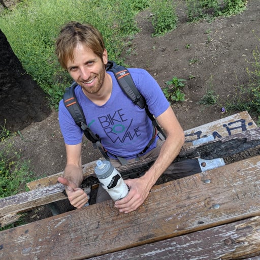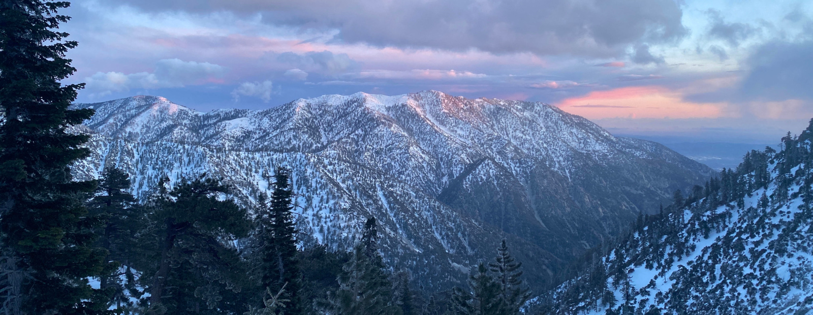

I followed the PL&P towards Rattlesnake canyon. The brush is really starting to come back. I cut it back a bit, but it's a drop in the bucket. I got to the gully I deemed too dangerous last time. Looked at it with fresh eyes, it was fine, and I walked across. Past that you're pretty close to the canyon bottom, and the trail quickly disappears into the growth. You just drop down the slope on a (maybe?) game trail, and you're at the bottom of Rattlesnake Canyon!
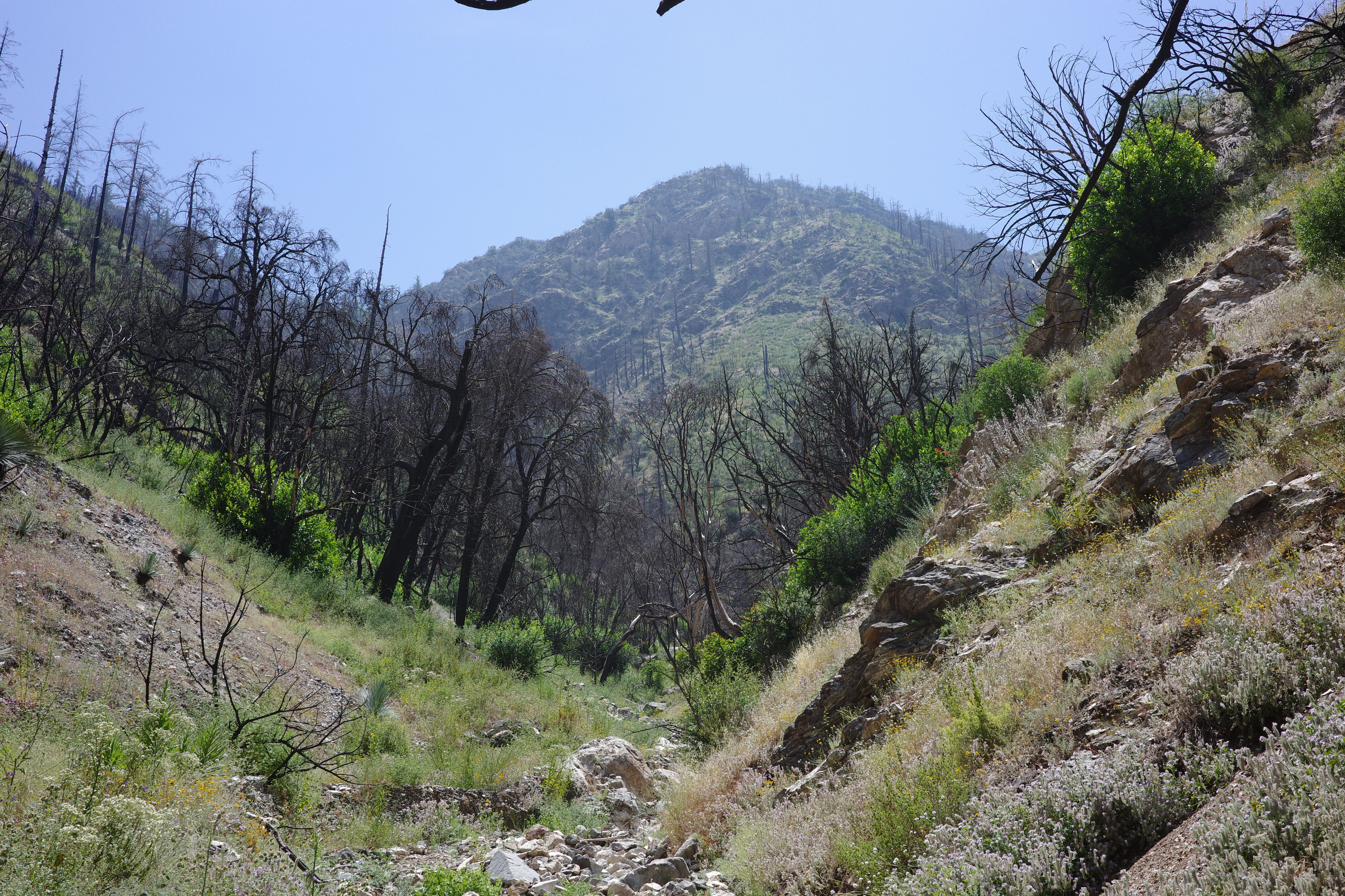
Looks like this looking up
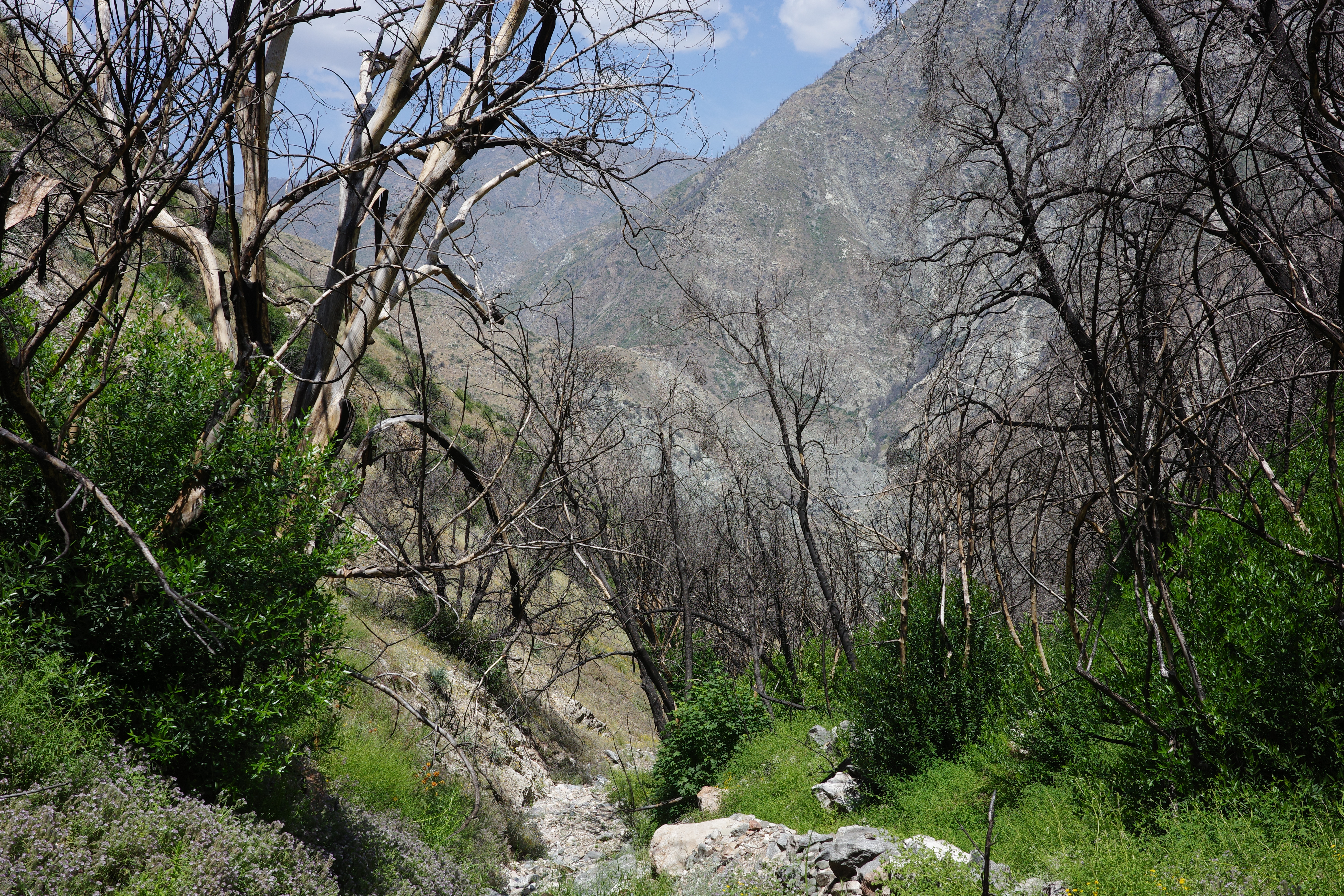
And looking down
Some water in the creek here, and lots of bees and flies. I took a break here, to figure out the next move. The trail on the other side isn't apparent at all. I walked up-canyon a bit to where the crossing was supposed to be. Found some mine stuff!
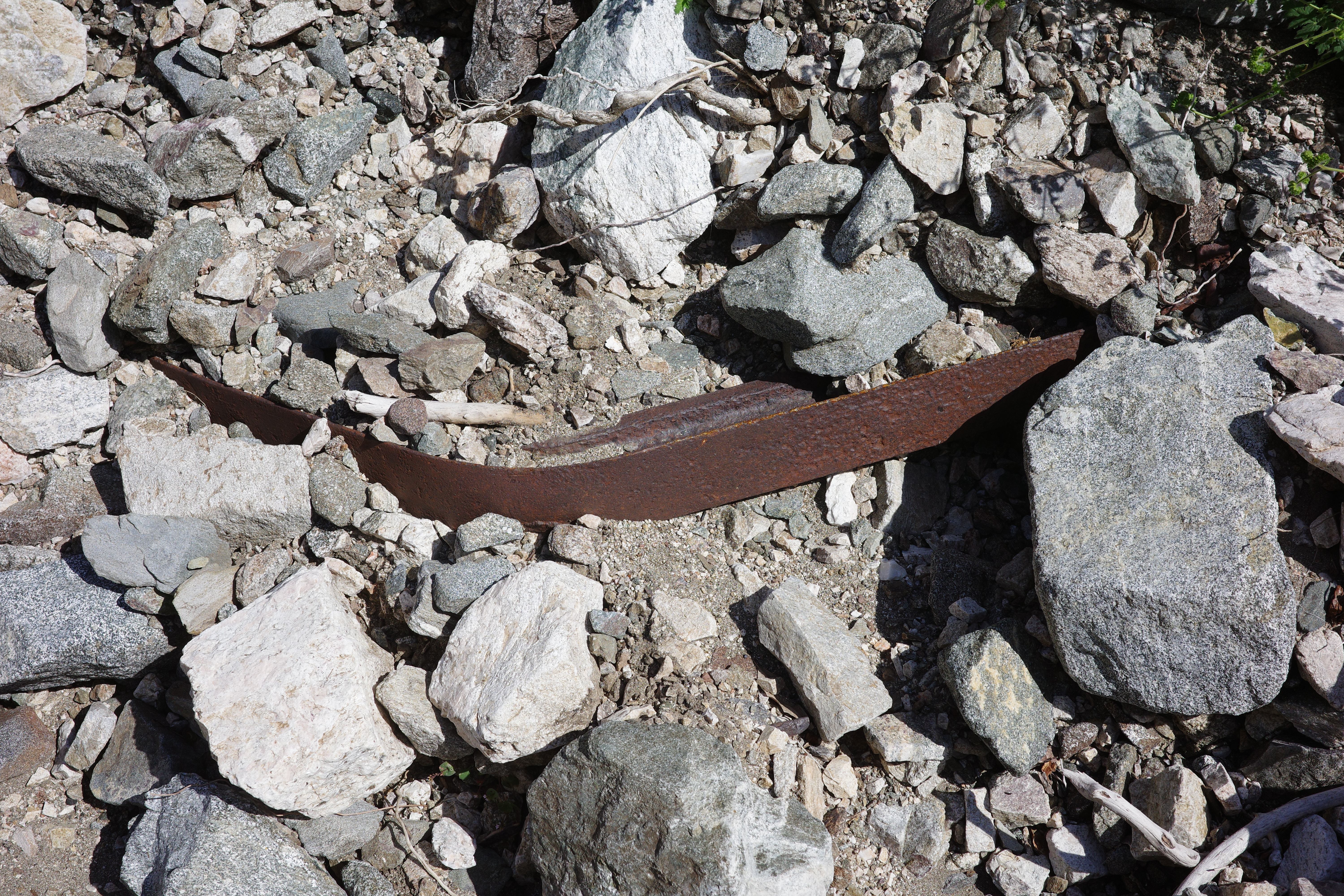
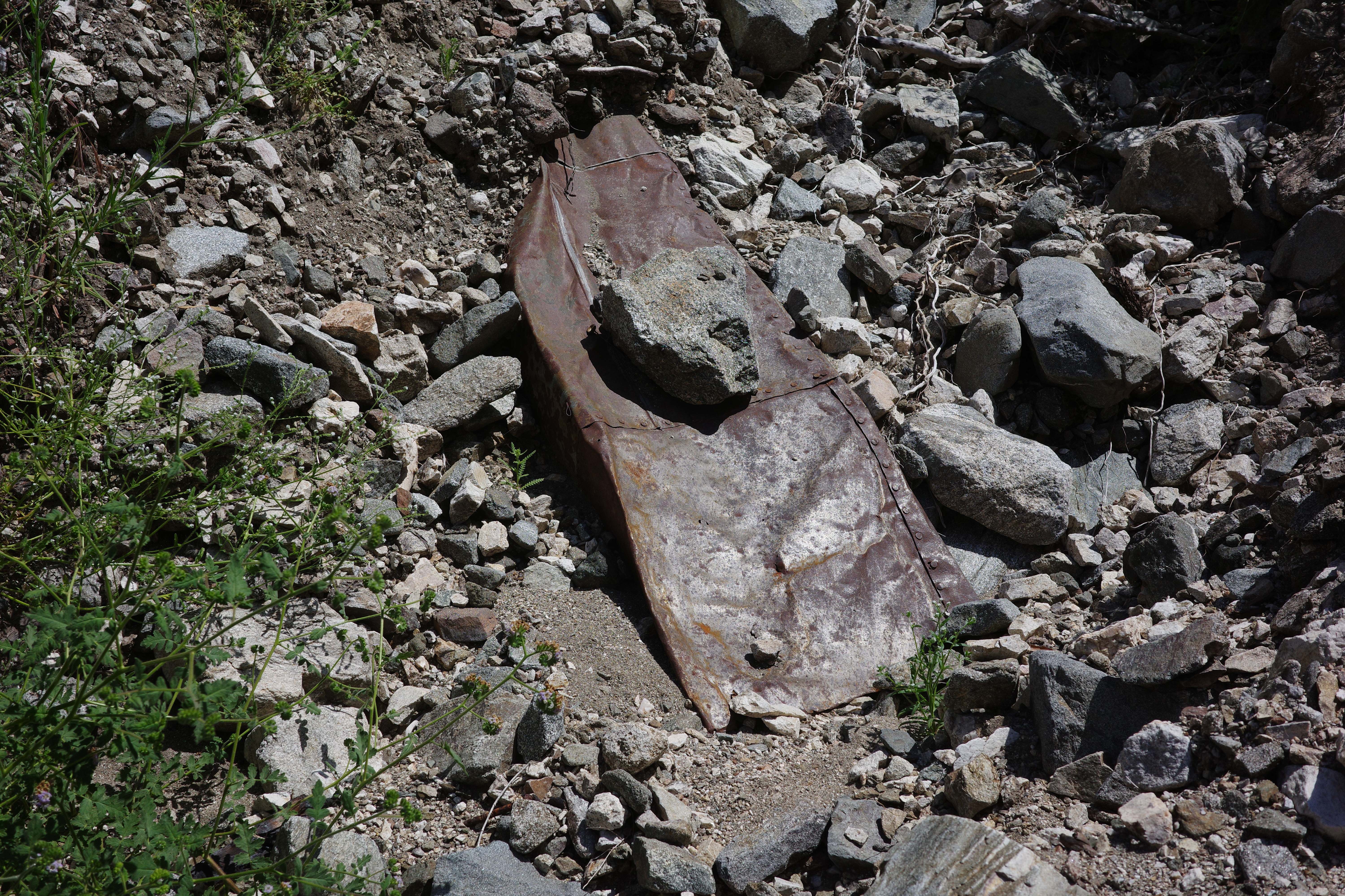
Climbed up a bit to get a view of where I was going:
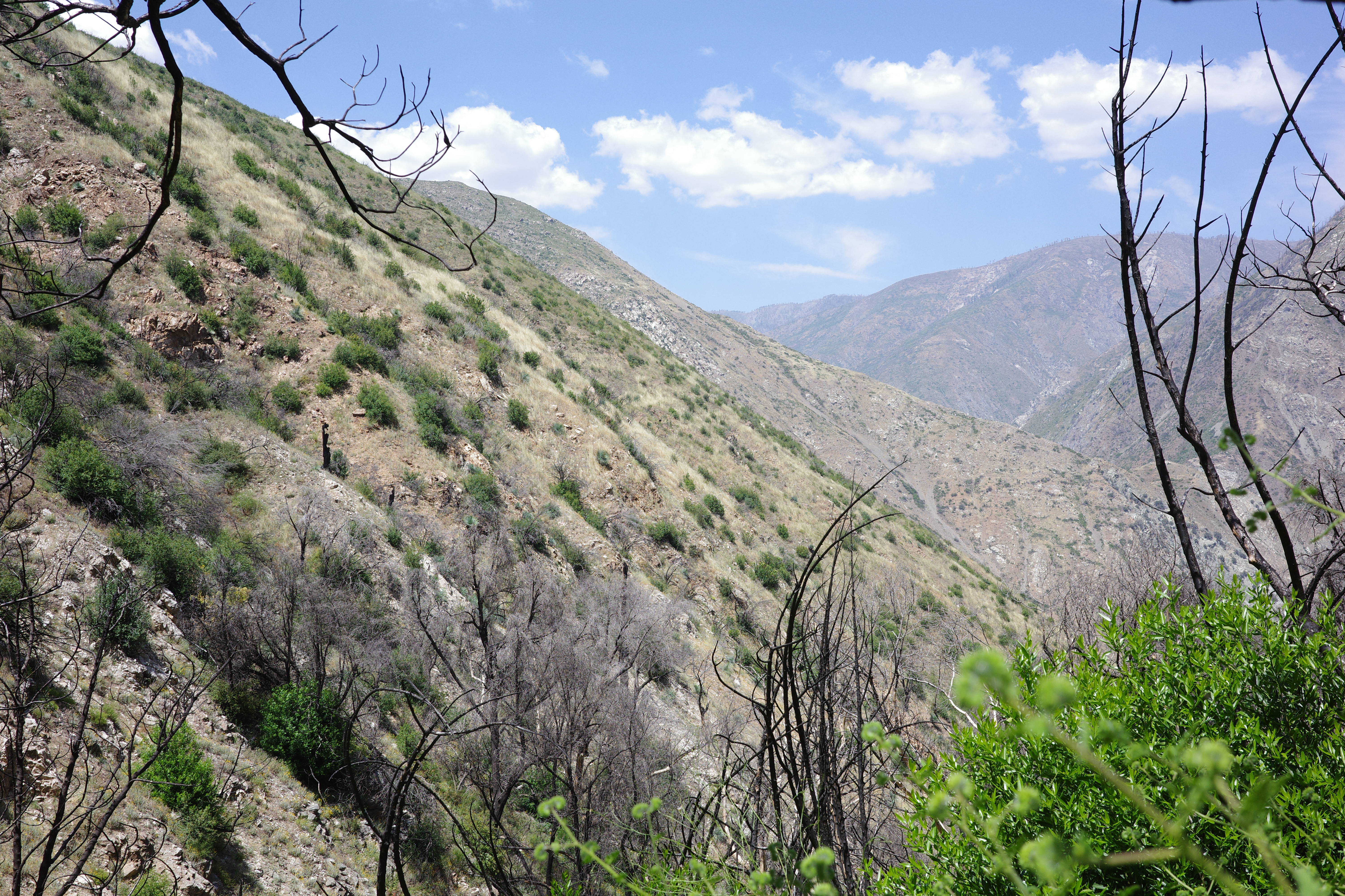
See the trail? Me neither. Fine. I spotted where the trail maybe, probably is, crossed the canyon, climbed up a bit, and saw this:
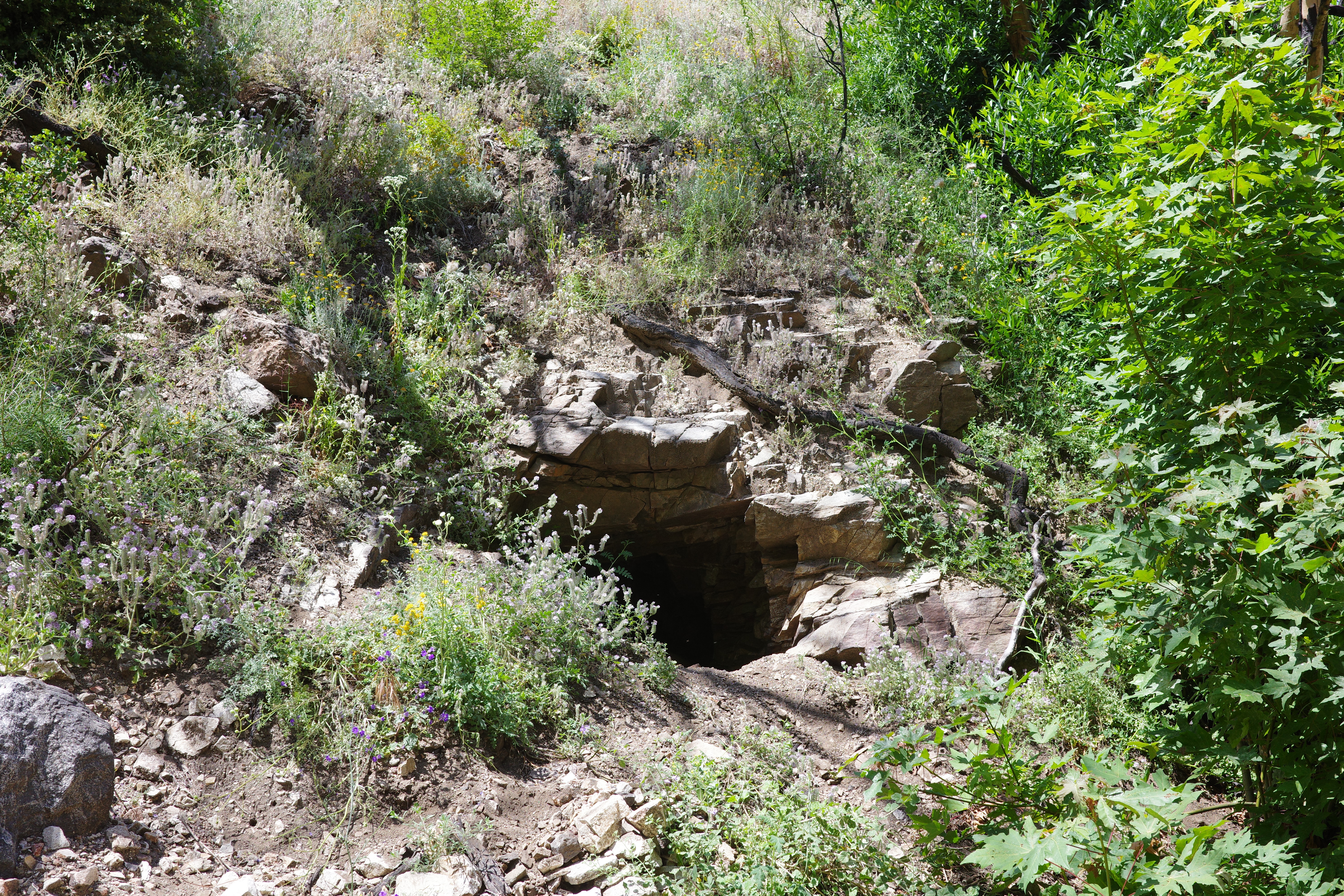
Wow! So cool! Wonder how it is inside! Then I saw this:
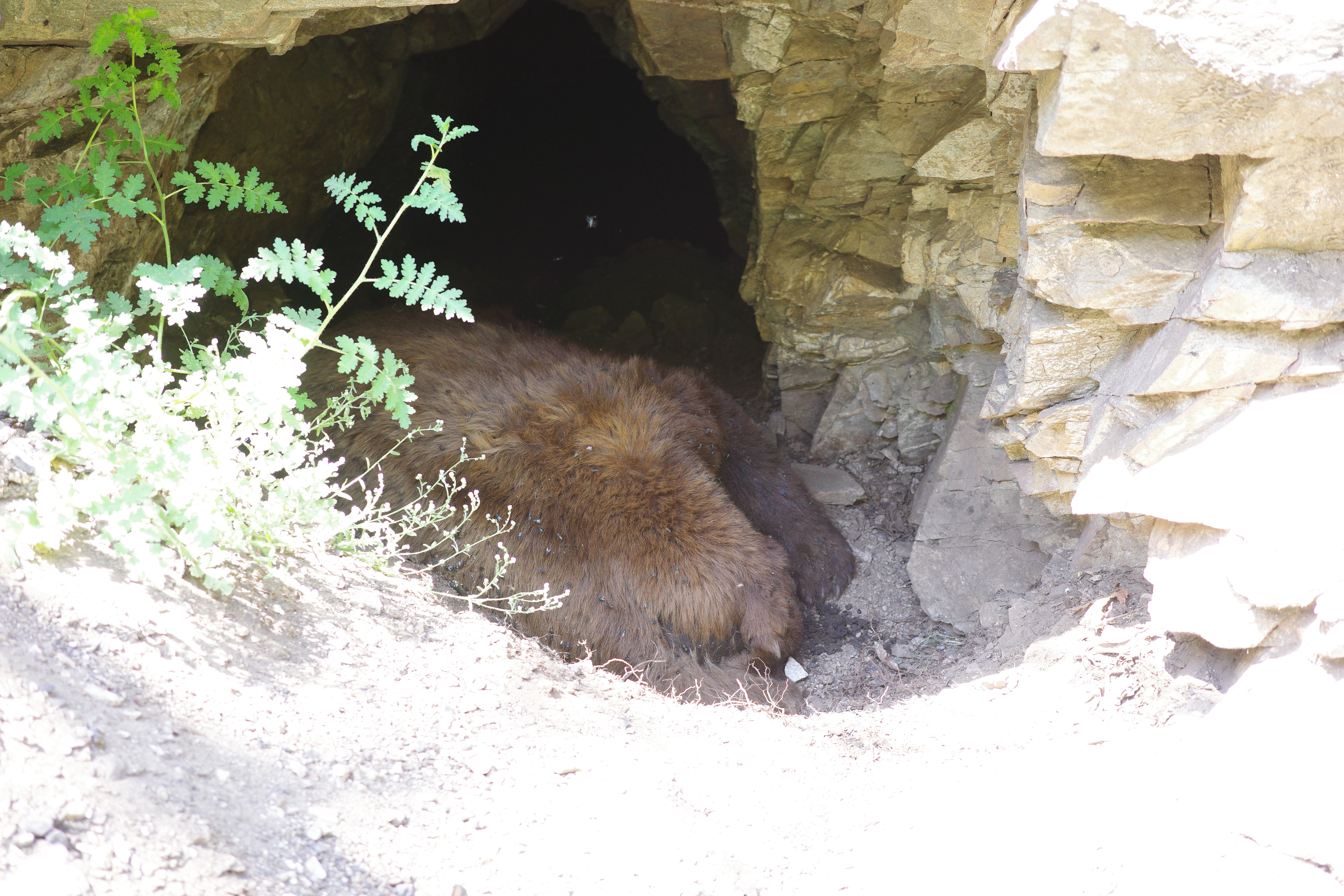
What??? Wow. OK... There's no way in hell I'm going inside. Might come back in 6 months.
I started to traverse. It sucked. Steep, brushy, and no trail in sight. Progress was slow and not fun. Sometimes the brush eases
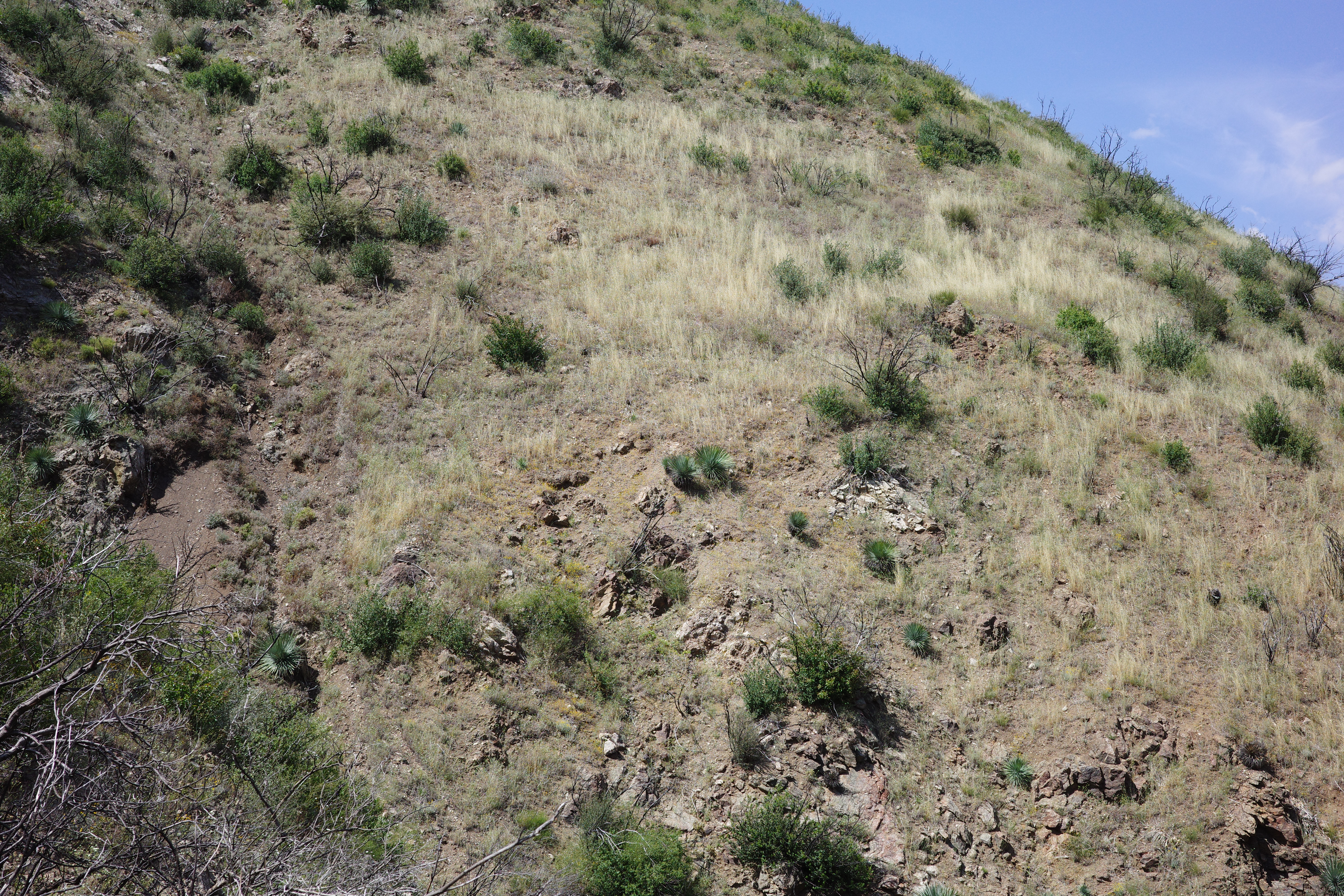
Now it's just steep. The ground here is very hard-packed, so you don't get a ton of traction, and spots like this just mean that the brush won't catch your fall. Cool views
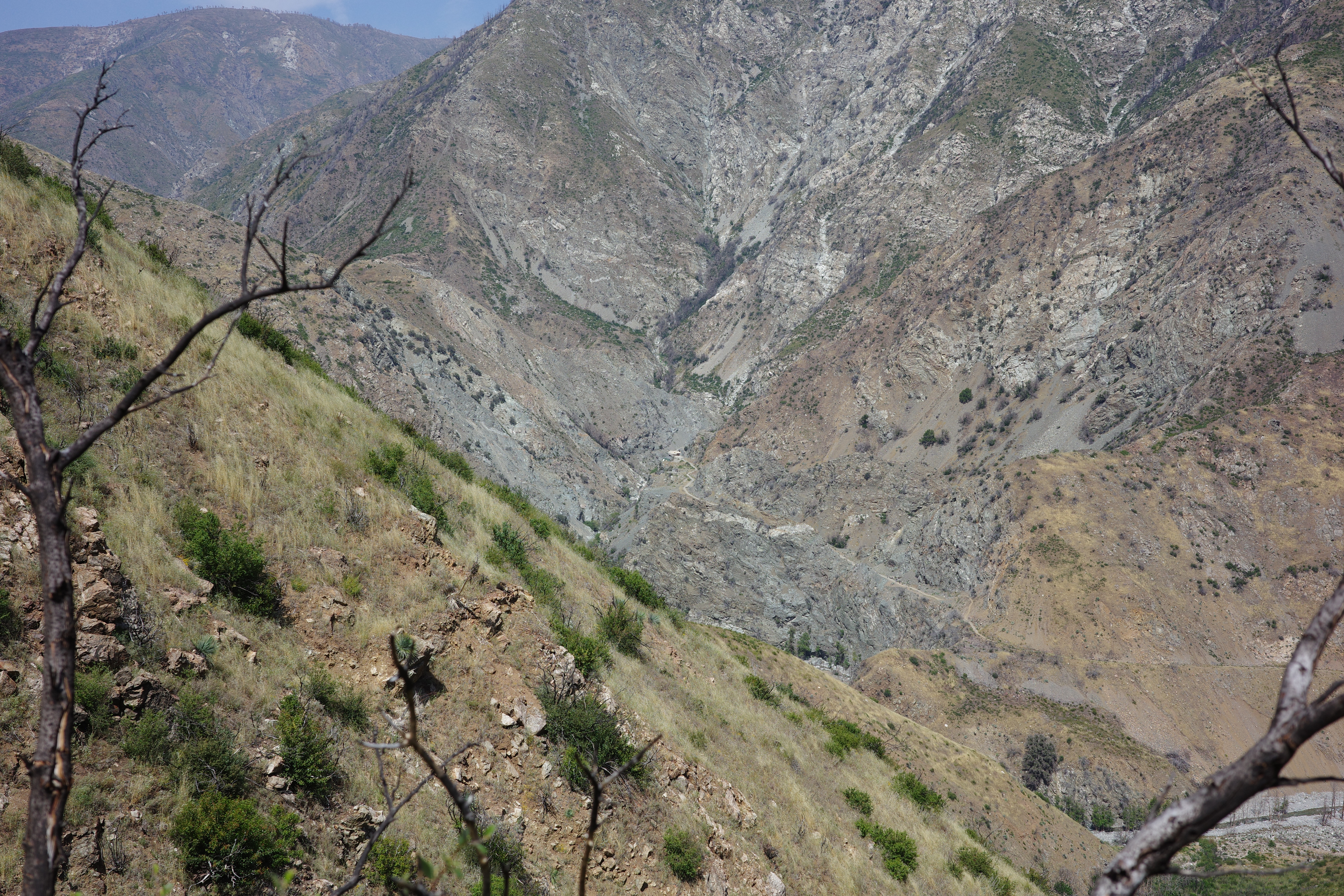
The vertical rock face might be a trail cut, and the rocks below might be from a built-up trailbed. Eventually I found non-questionable rock stacks supporting the trail.
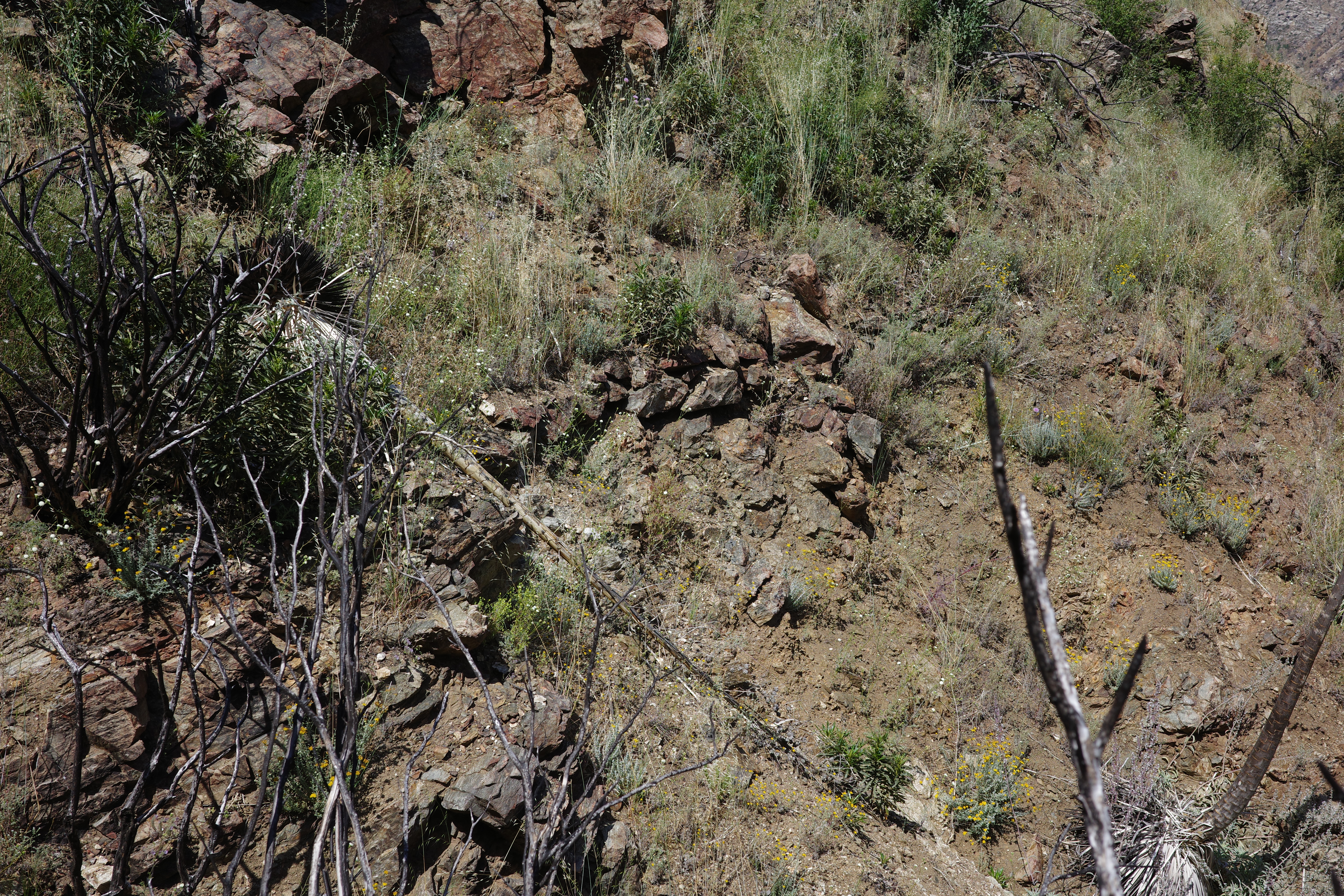
There were a number of these, but no consistent trail to connect it all, and it's still hard-packed and steep and brushy. It all still sucked.
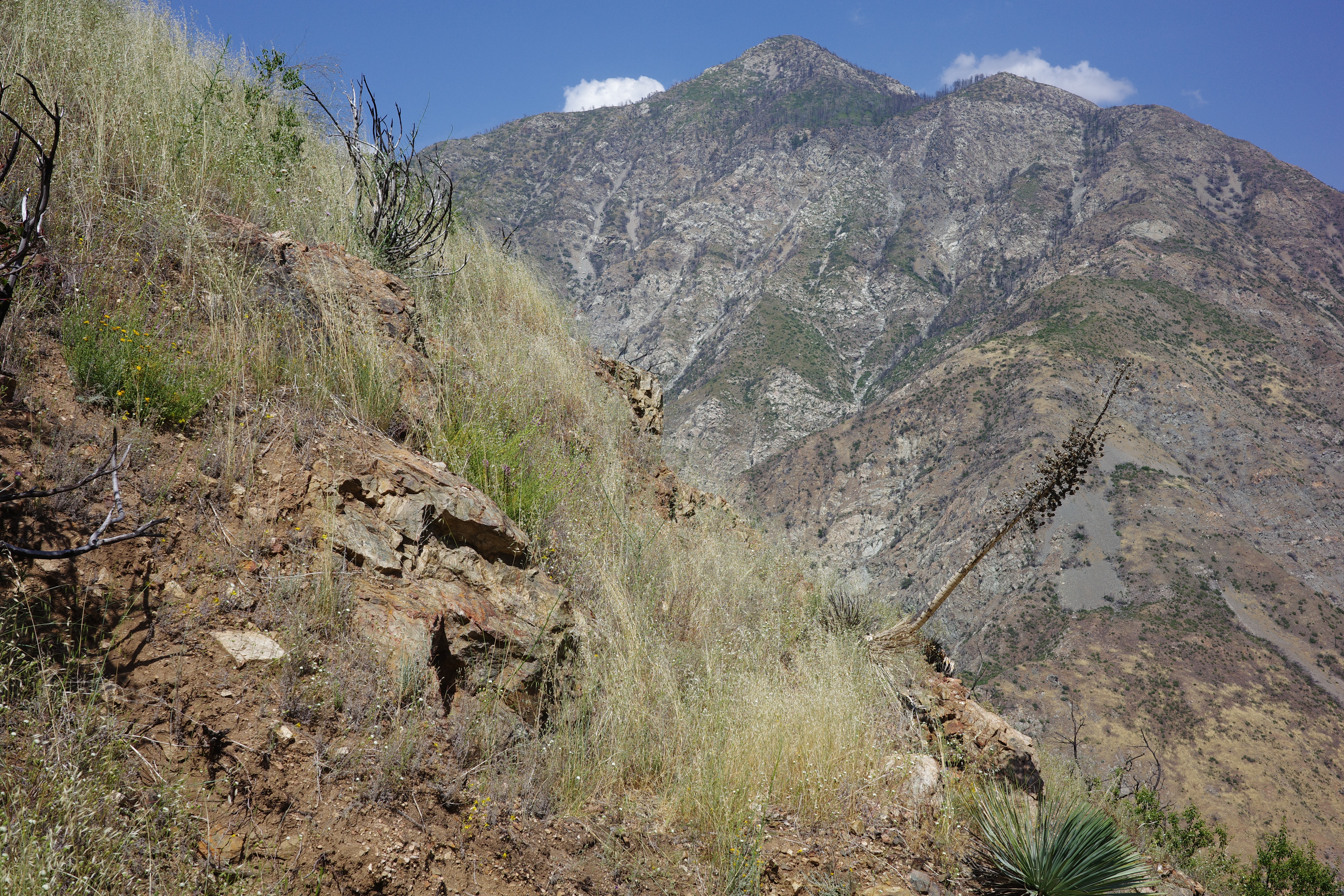
Motivation was becoming a problem. Where I came from (S of Rattlesnake canyon) looks like this:
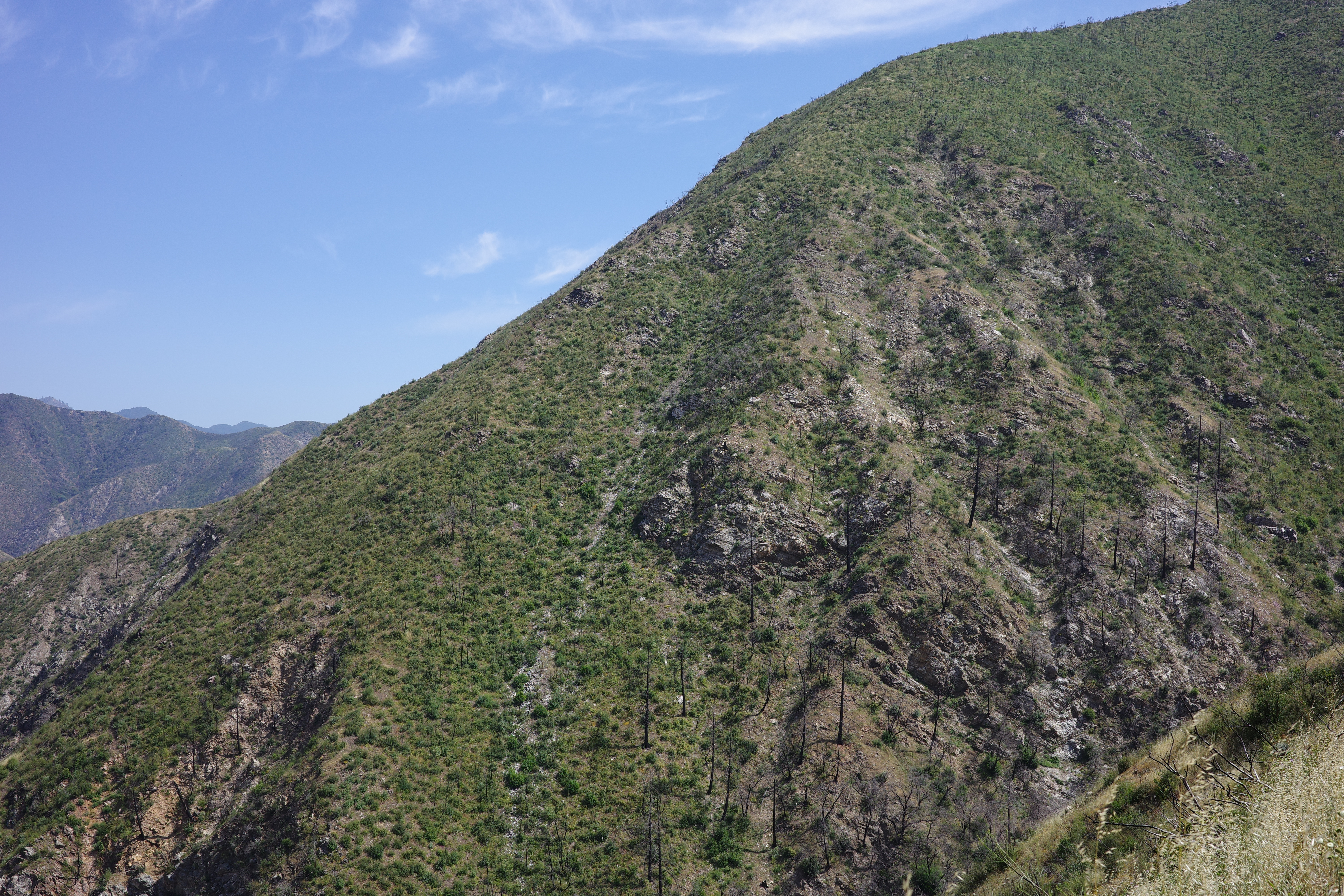
But the route ahead looks like this:
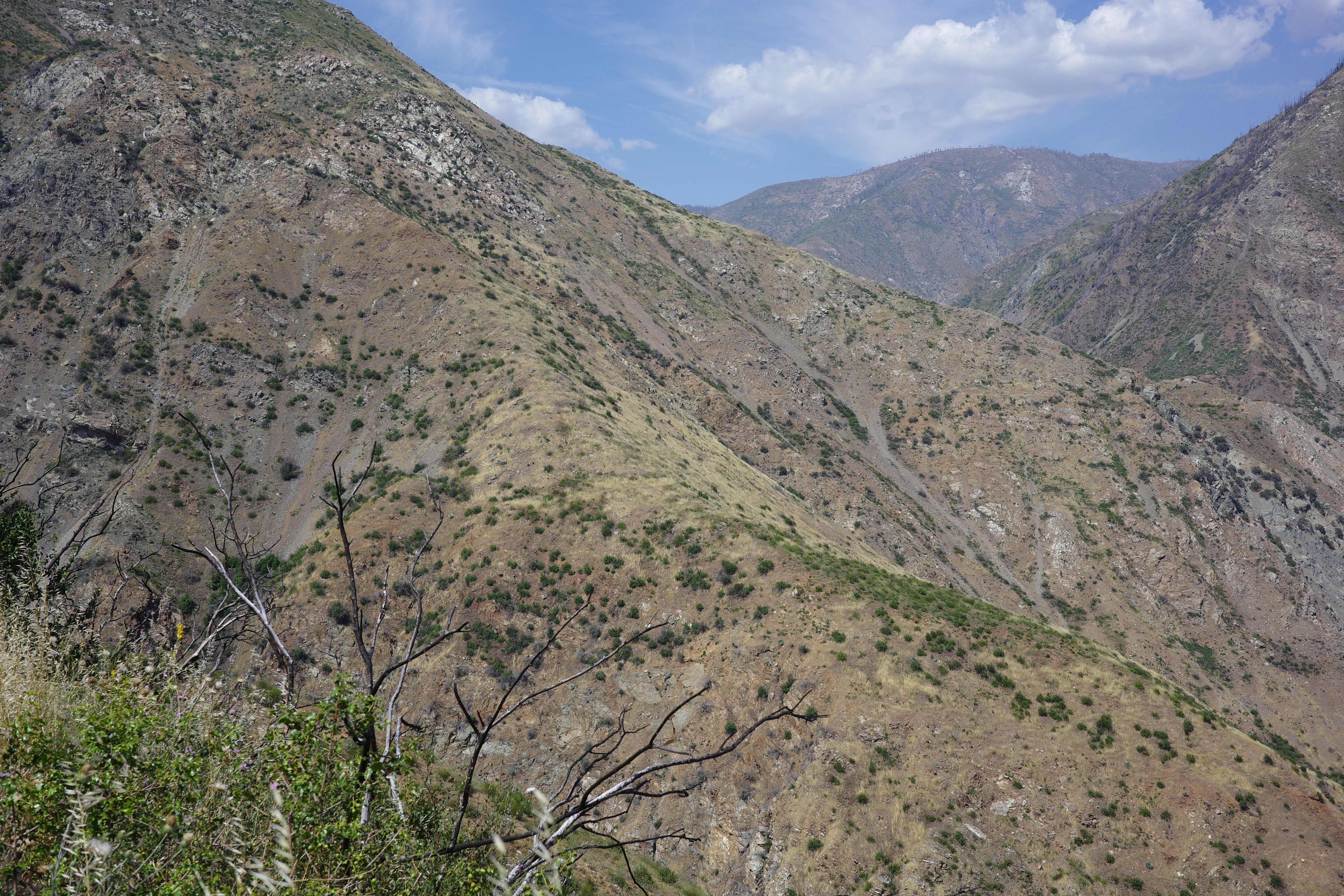
The trail is visible on the right: that's the spot above the bridge that I've been to a bunch of times. But to the left of that ridge, the trail disappears completely, as it approaches Devil's Gulch. Tekewin and I were there years ago, and I don't remember any signs of a trail.
Cool views, though
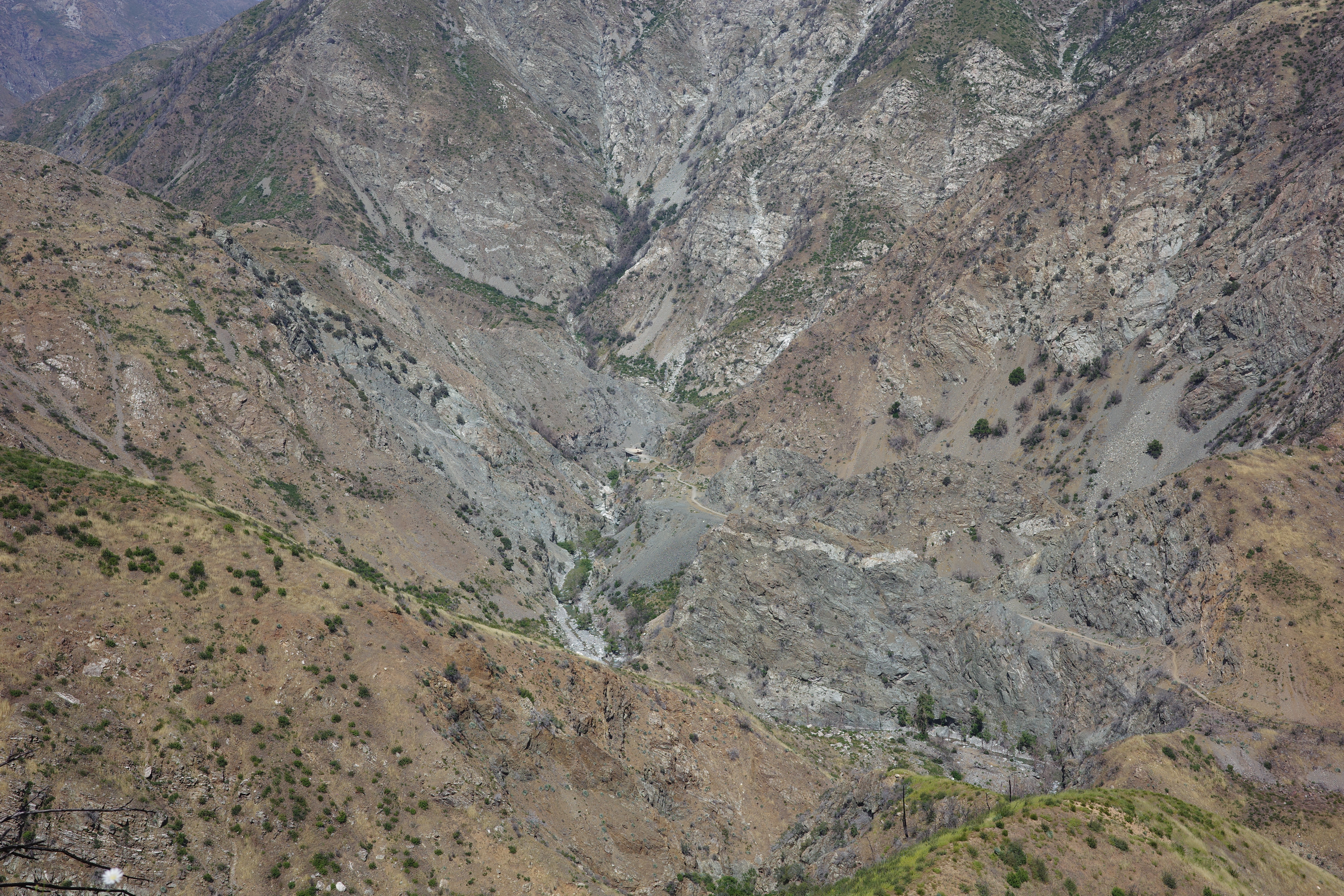
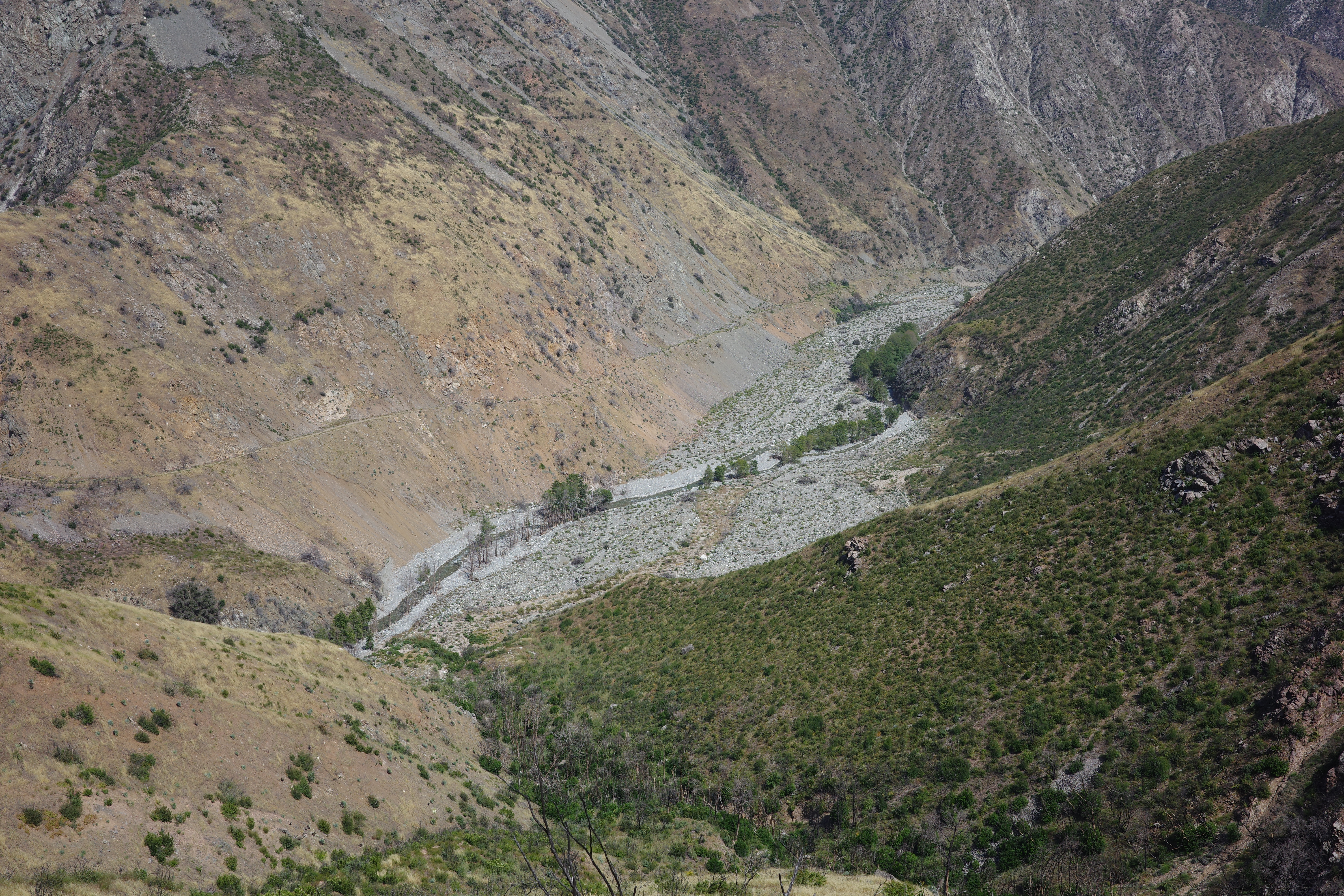
I'd look down to the East Fork periodically, and never saw a soul. Probably the bungee jumping operating wasn't running, even though it was Memorial-day Sunday.
I kept pushing. I knew that approaching Devil's Gulch would be cliffy, possibly with a trail. And climbing out of Devil's Gulch would be cliffy definitely without a trail. Got to a gully that looked like it would take work to cross with no visible signs of a trail on the other side, and decided to turn back. There was another item on the agenda: the maps show an old trail in Rattlesnake canyon, connecting to the East Fork. I wanted to check that out, for future access.
Alright. I back-tracked a bit, until I was above Rattlesnake Canyon again. Found a gully, and dropped straight down
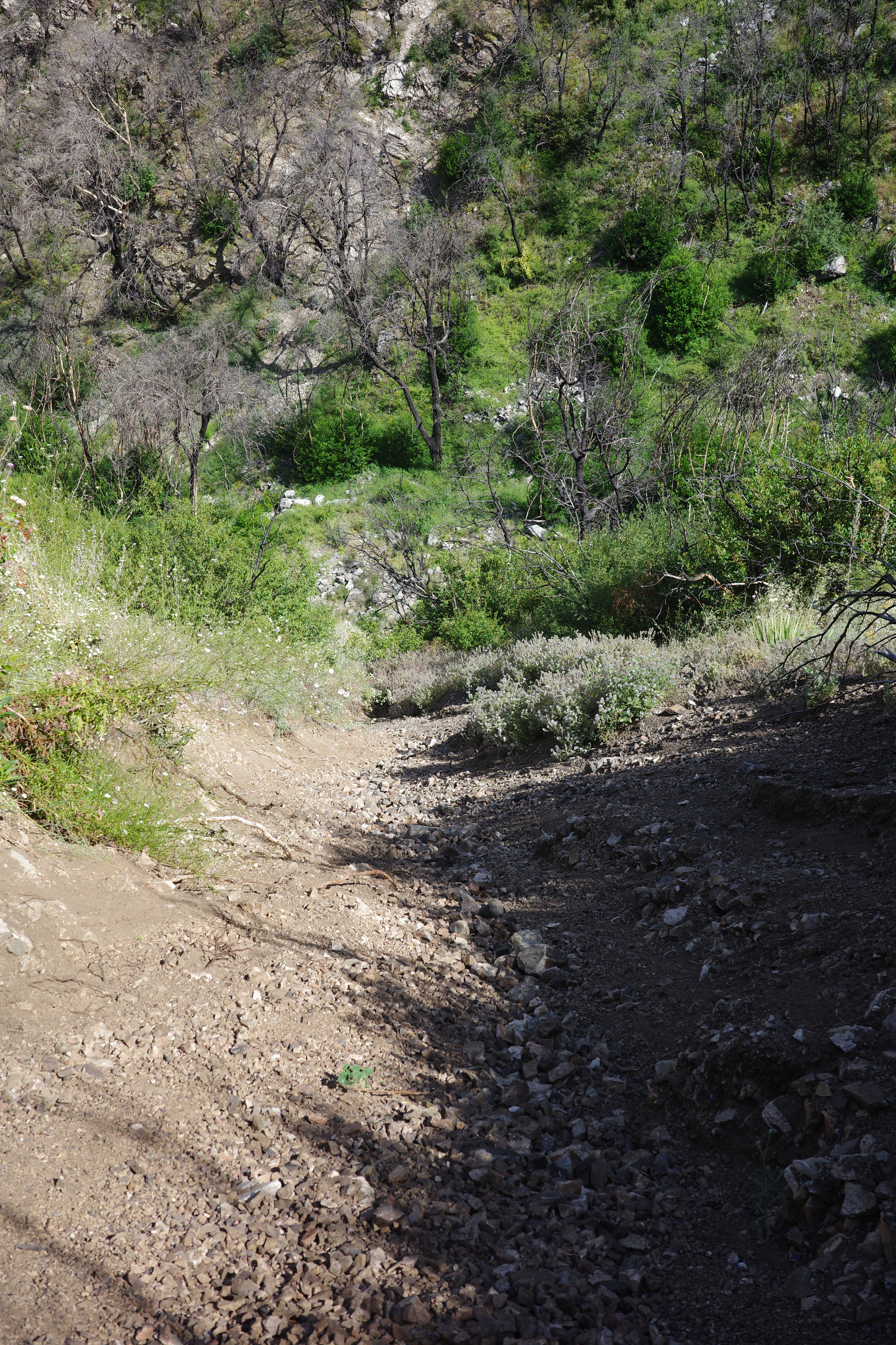
Took no time at all. Looks like this from the bottom:
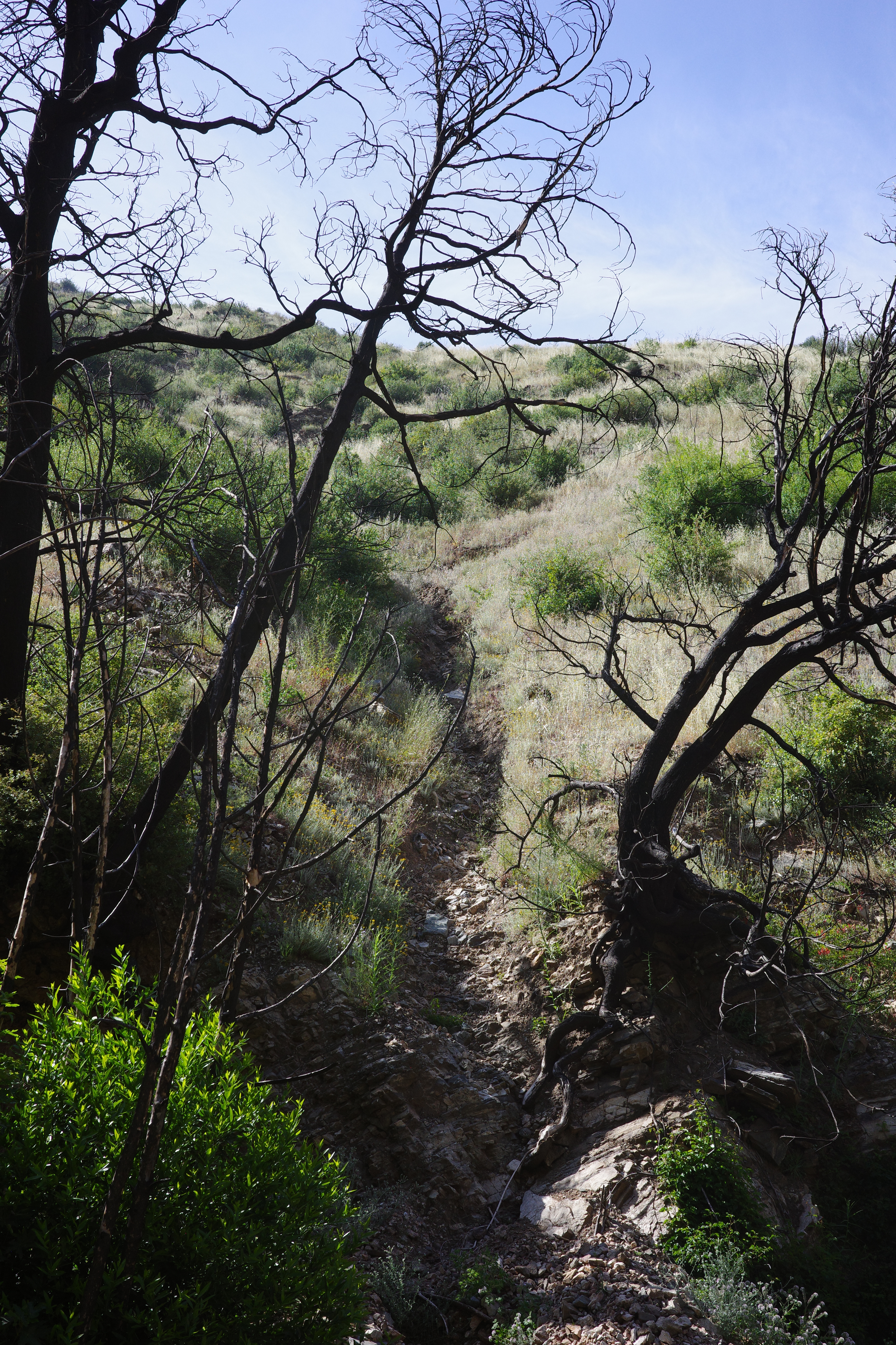
Meeting the PL&P from here would be a lot easier than following the actual right-of-way upstream.
Alright, now to exit. From above, Rattlesnake canyon looked like a boulder-hop, and the topos didn't suggest anything too crazy. The marked trail did climb out and around for some reason, and all the adjacent canyons do have big waterfalls near the bottom, but who cares. This canyon is easy and open, and I'll just go downstream, and out! Hah. I've been around long-enough to know better, but this looked straightforward. Anyway, initially it is a nice and easy boulder-hop. Then you get into some trees
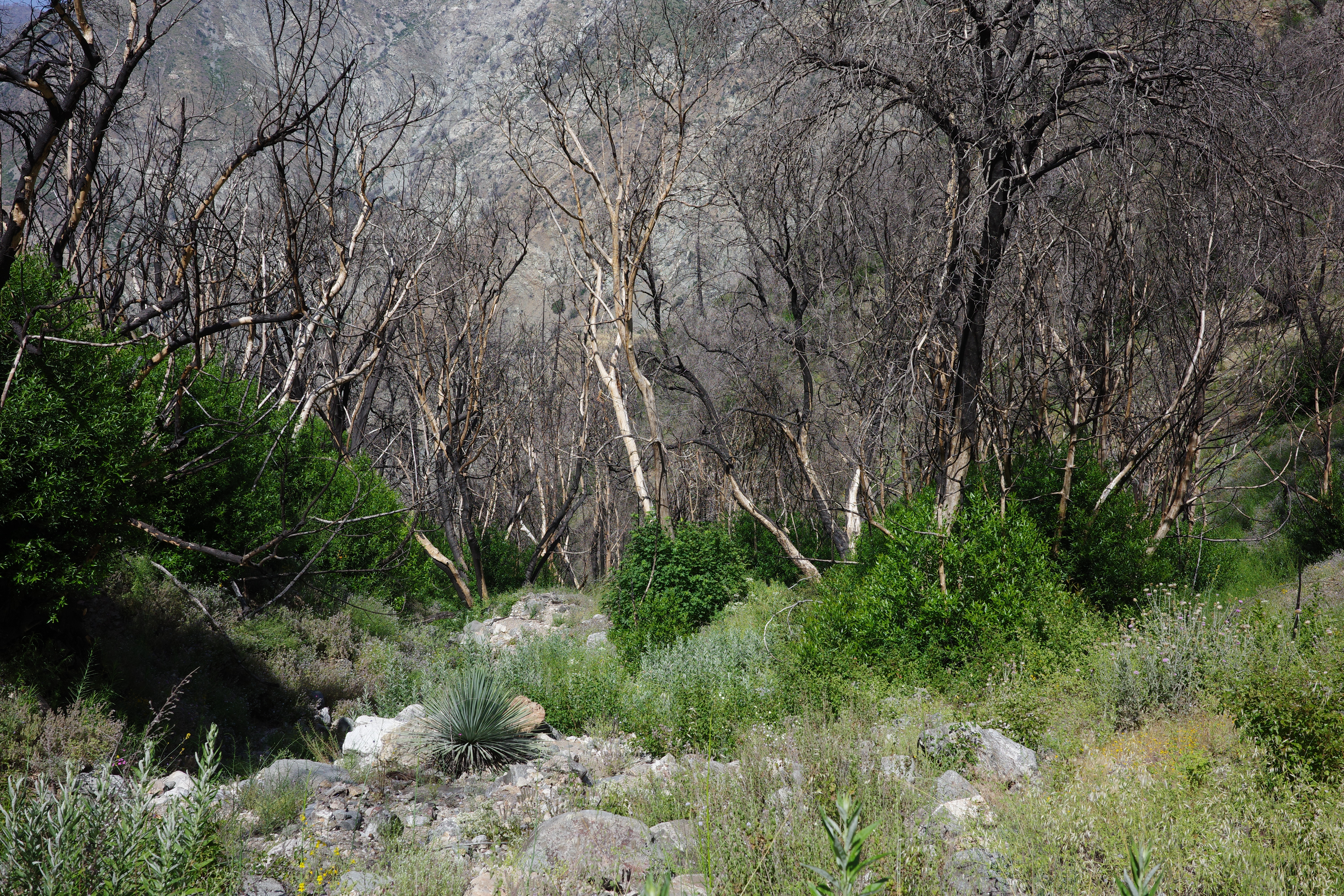
Then there's a lot more water, and it gets real thick
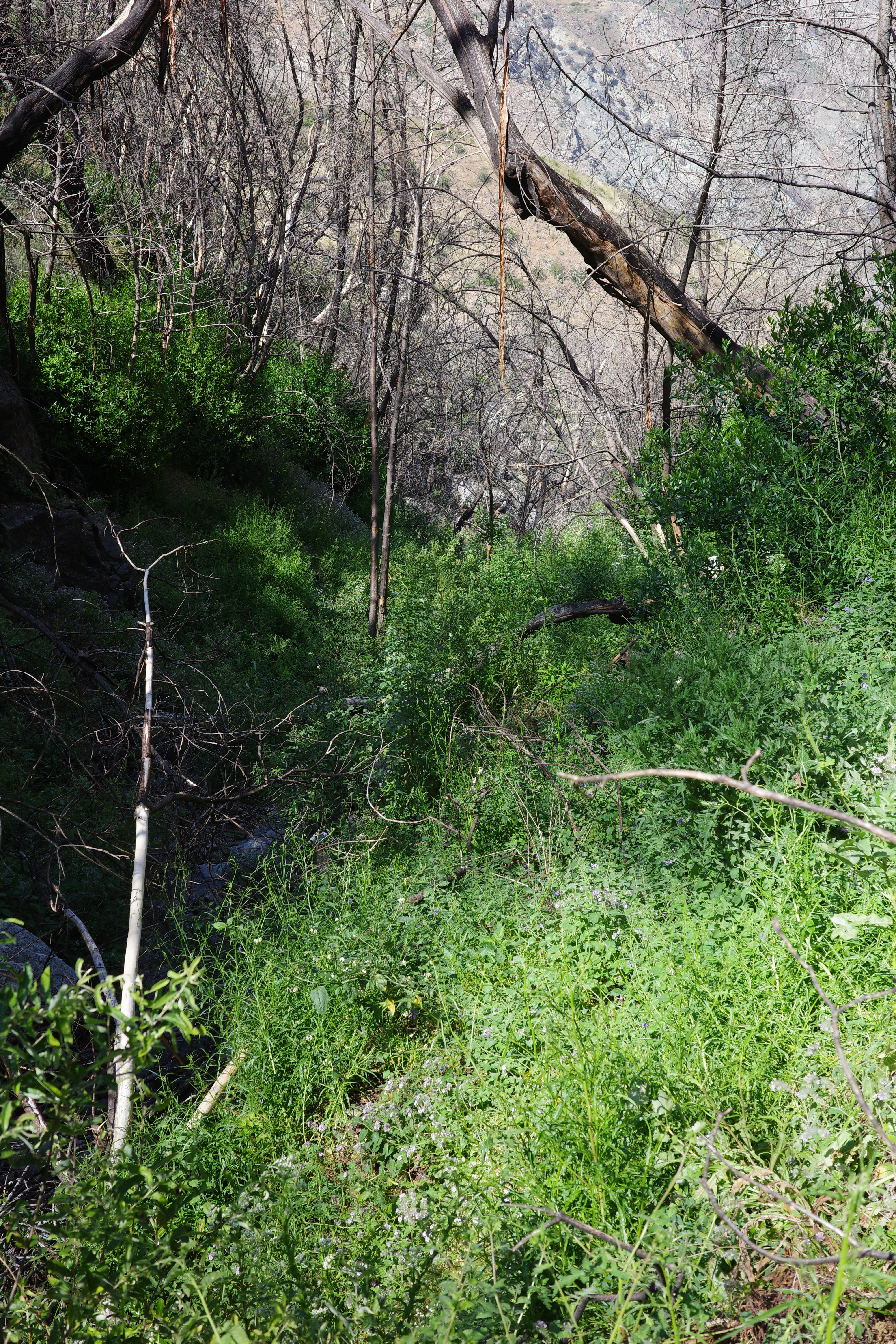
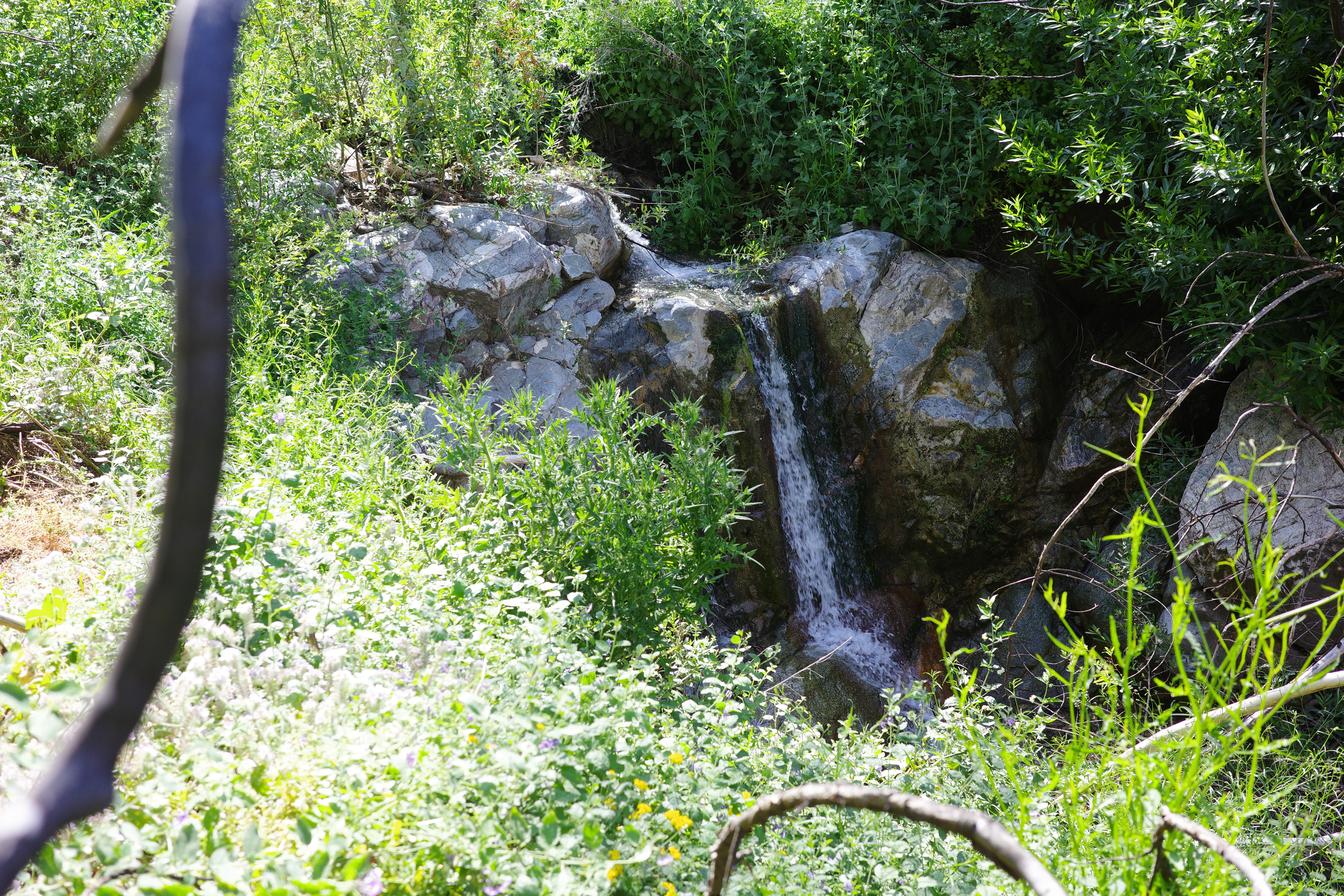
Then you're at the top of a waterfall. Climbing around isn't possible: it's a rocky gorge. I downclimbed the face
Then there were more downclimbs. The top of one of them:
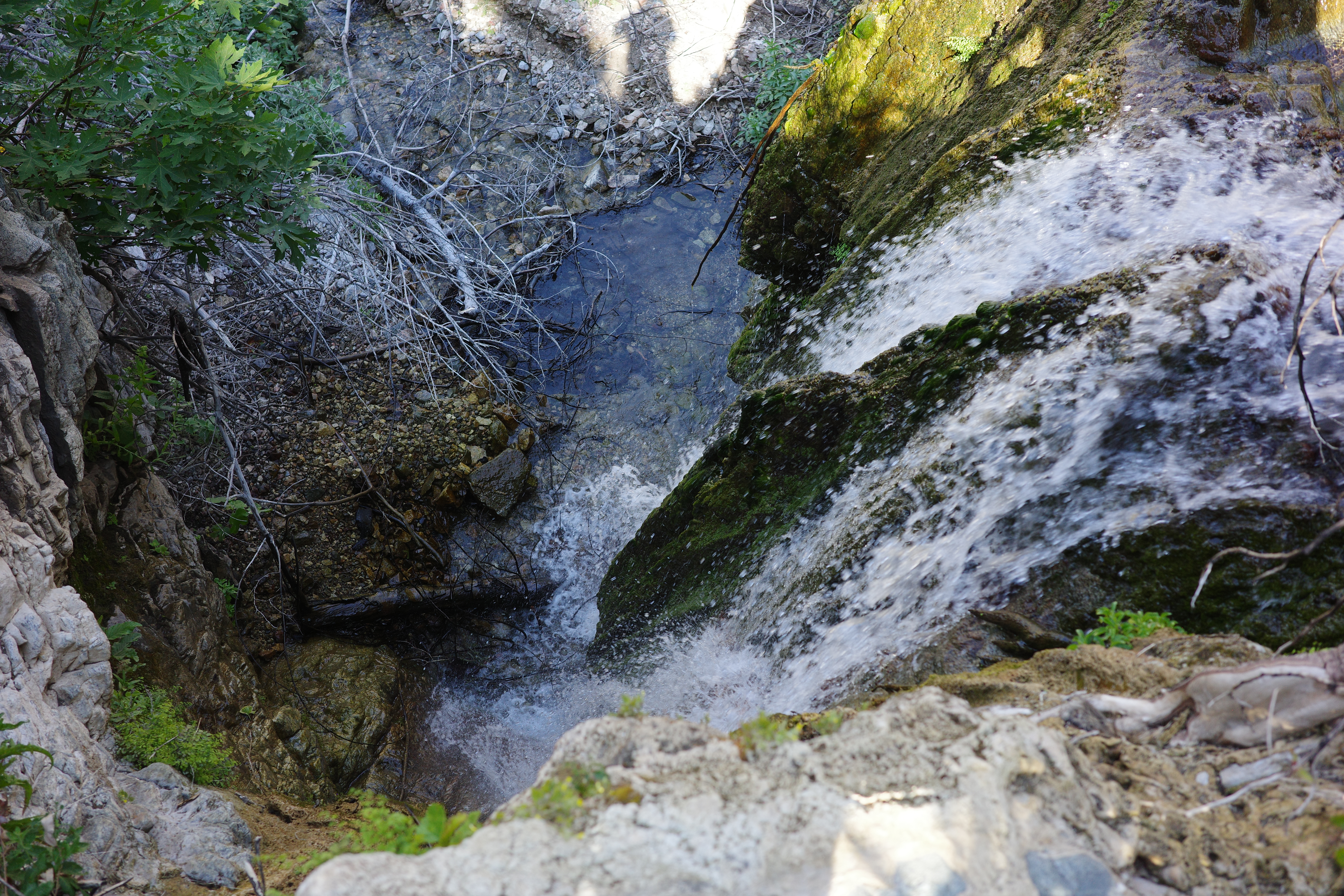
Downclimbed that face
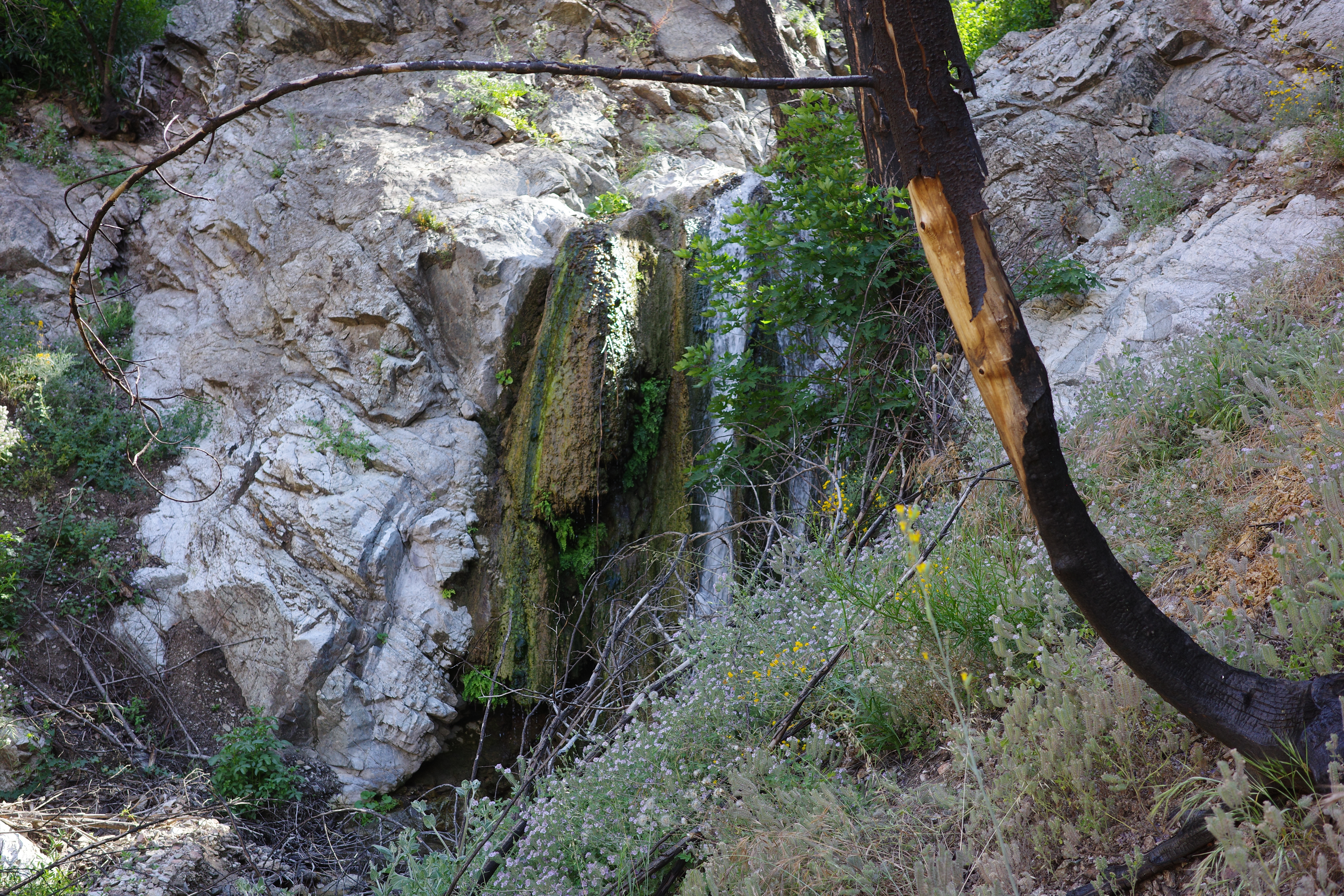
There was no end in sight, and I was getting a bit alarmed. I could downclimb all these, but it wouldn't take a lot more to make it unsafe, and then I'd have to climb back up. At the bottom of this one, the wall on the left eased, and I climbed out towards the bypass trail. Two of the falls from the climb out (sorta obscured by the tree):
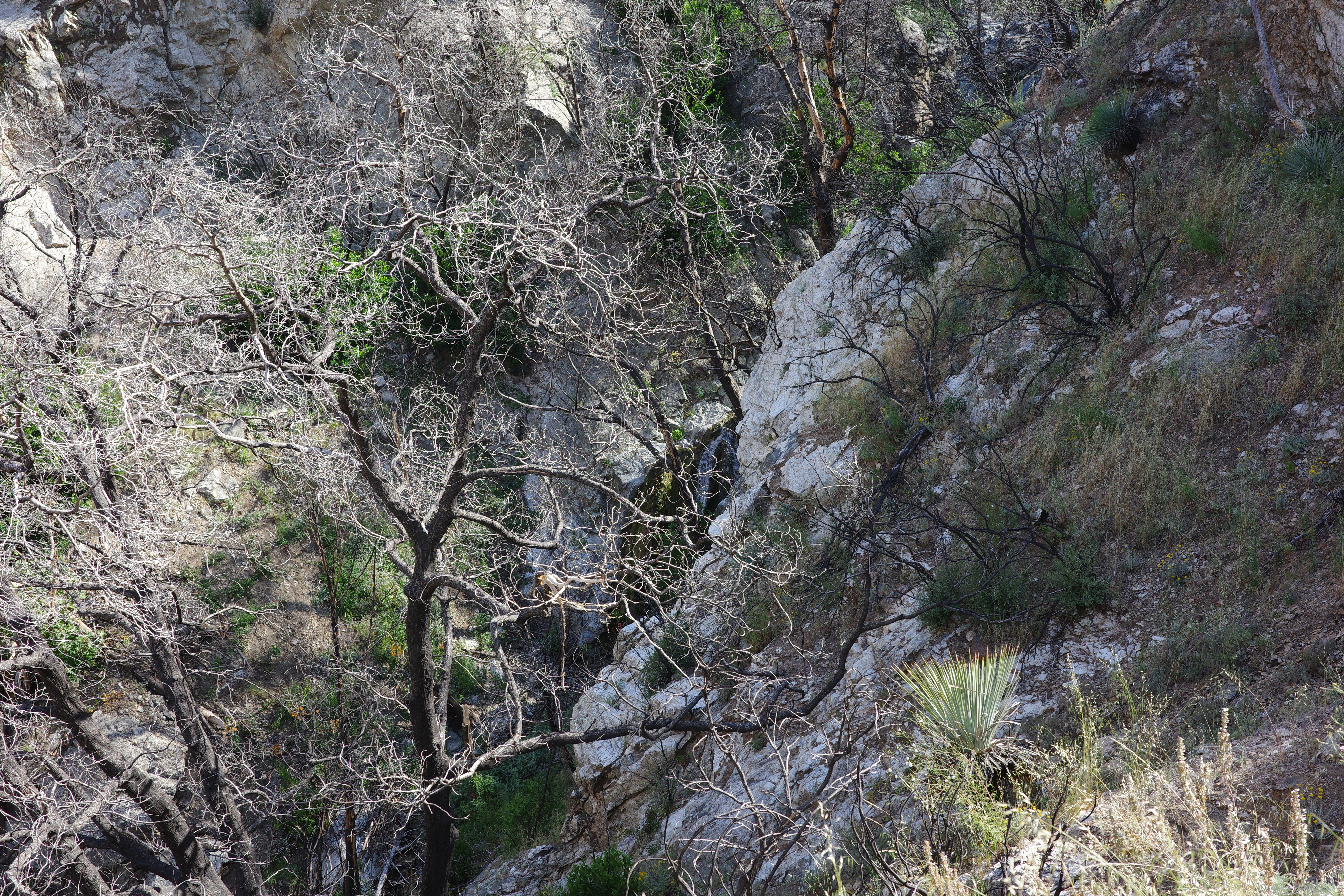
Can see the end of the gorge, but it stays thick for a while after
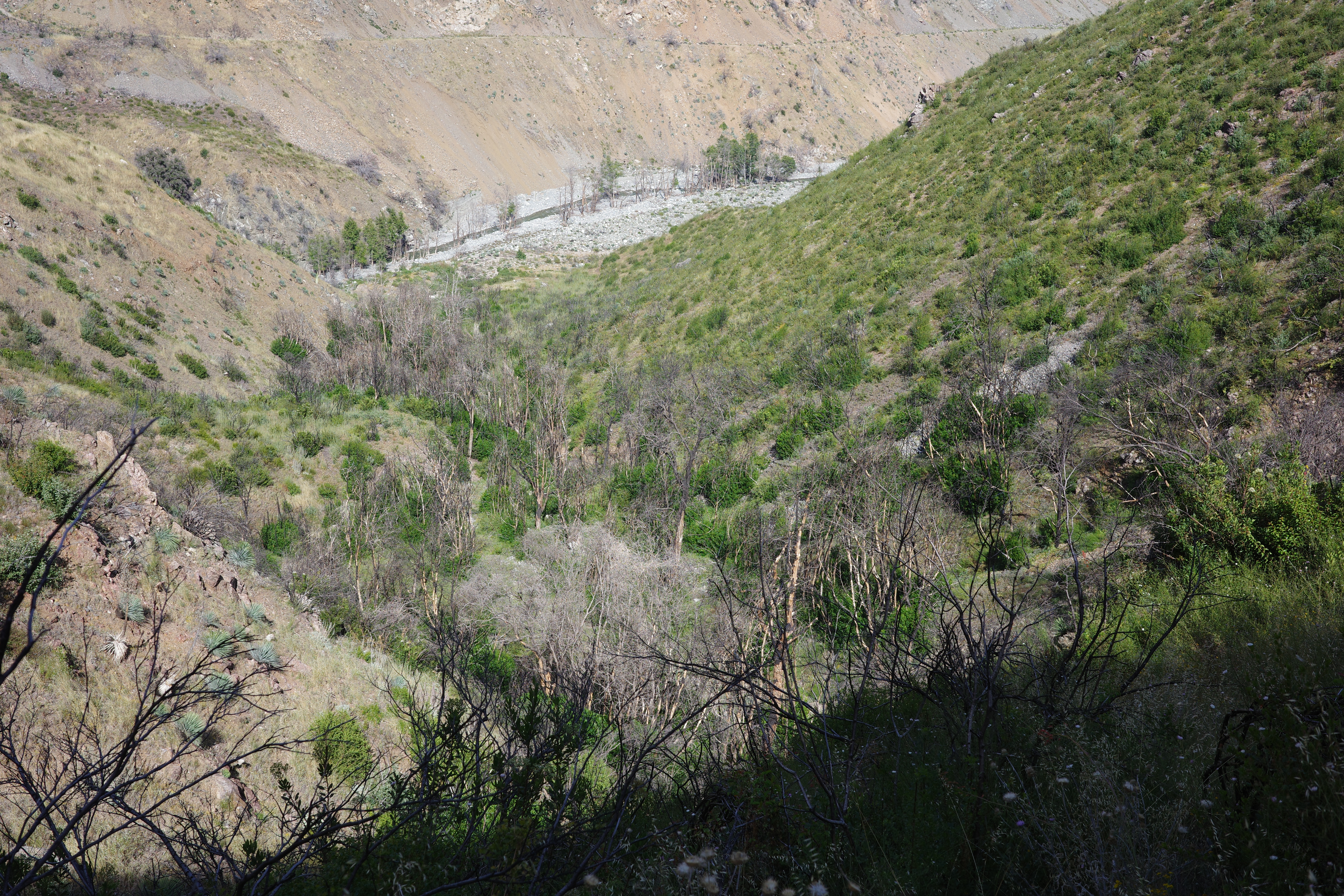
Eventually I was back at the grassy slope, but this time, I was relieved to be there

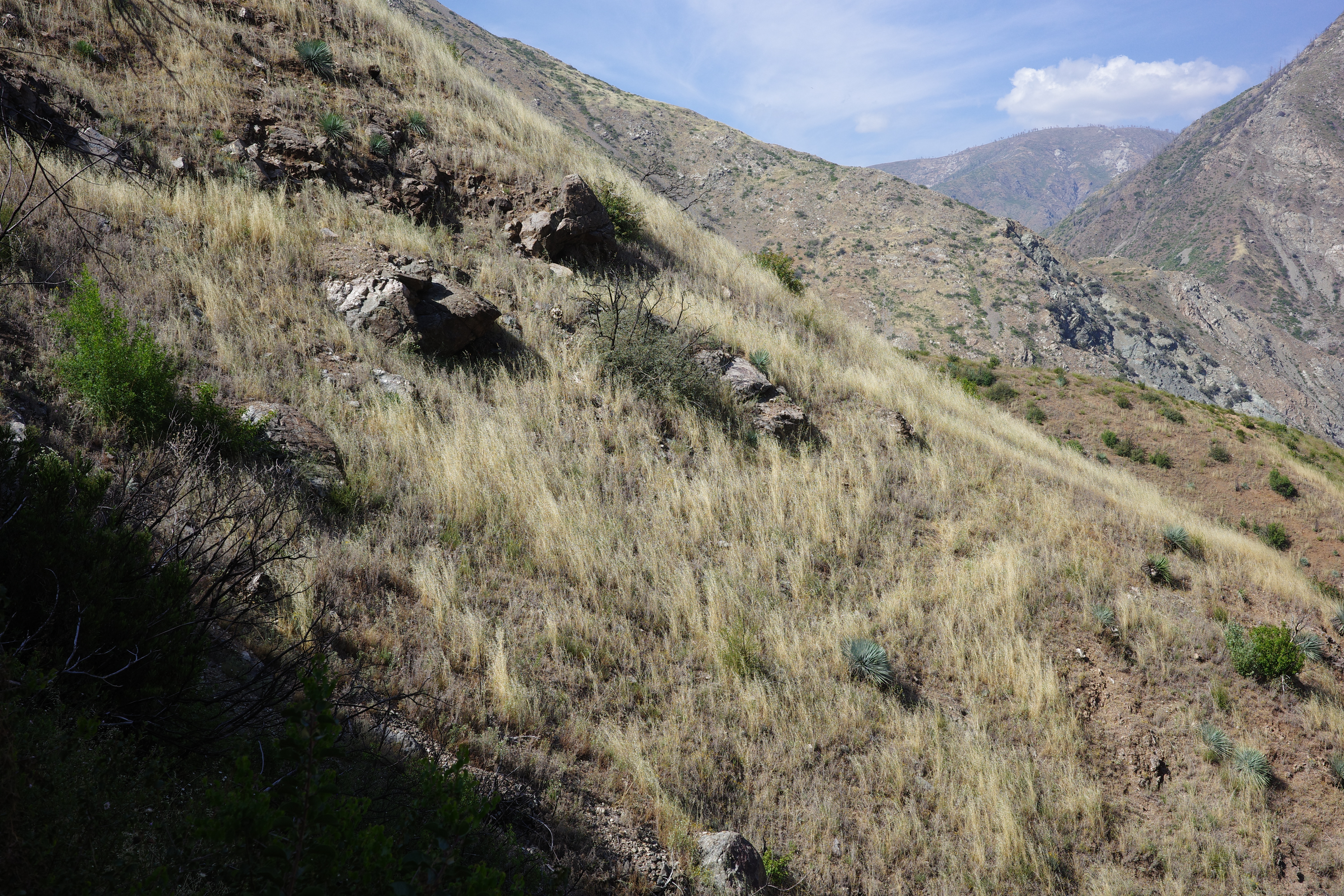
The bypass trail here is indistinct, but looking back, it's clearly visible as it traverses a steeper slope:
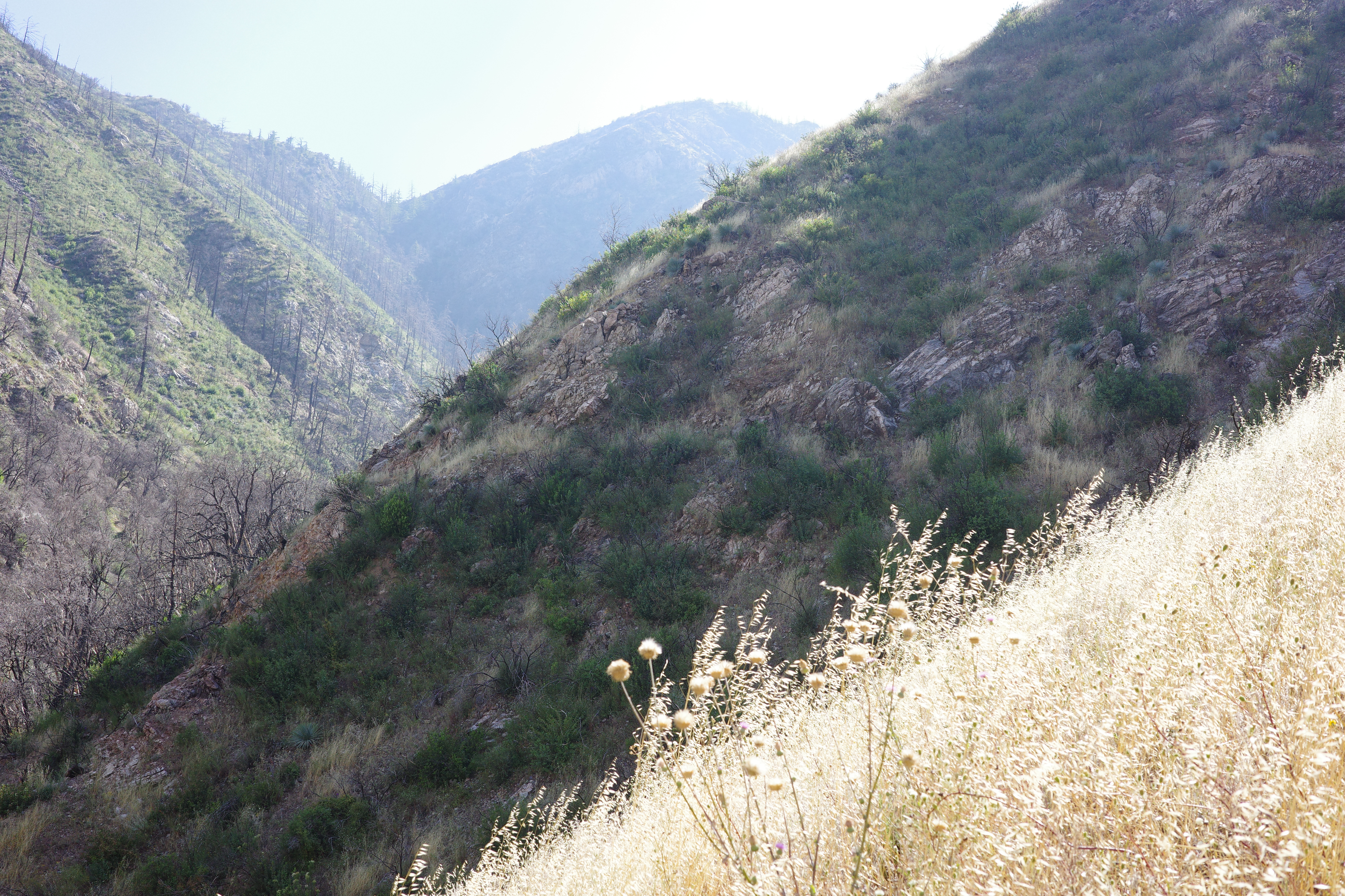
The view down is more of the grassy slope
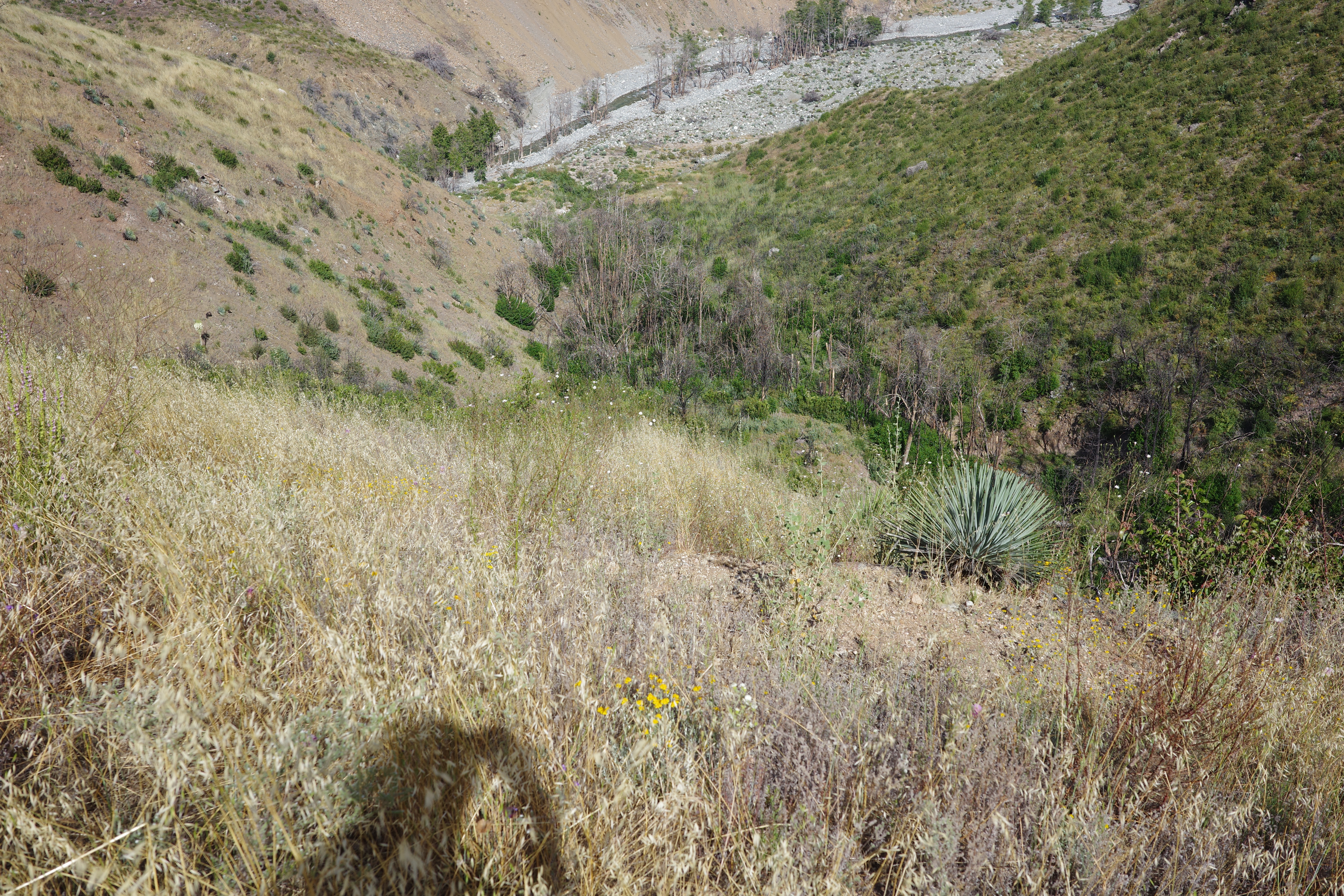
The trail isn't clear, but you can pretty much go anywhere. At the bottom I walked back up to see the lower falls
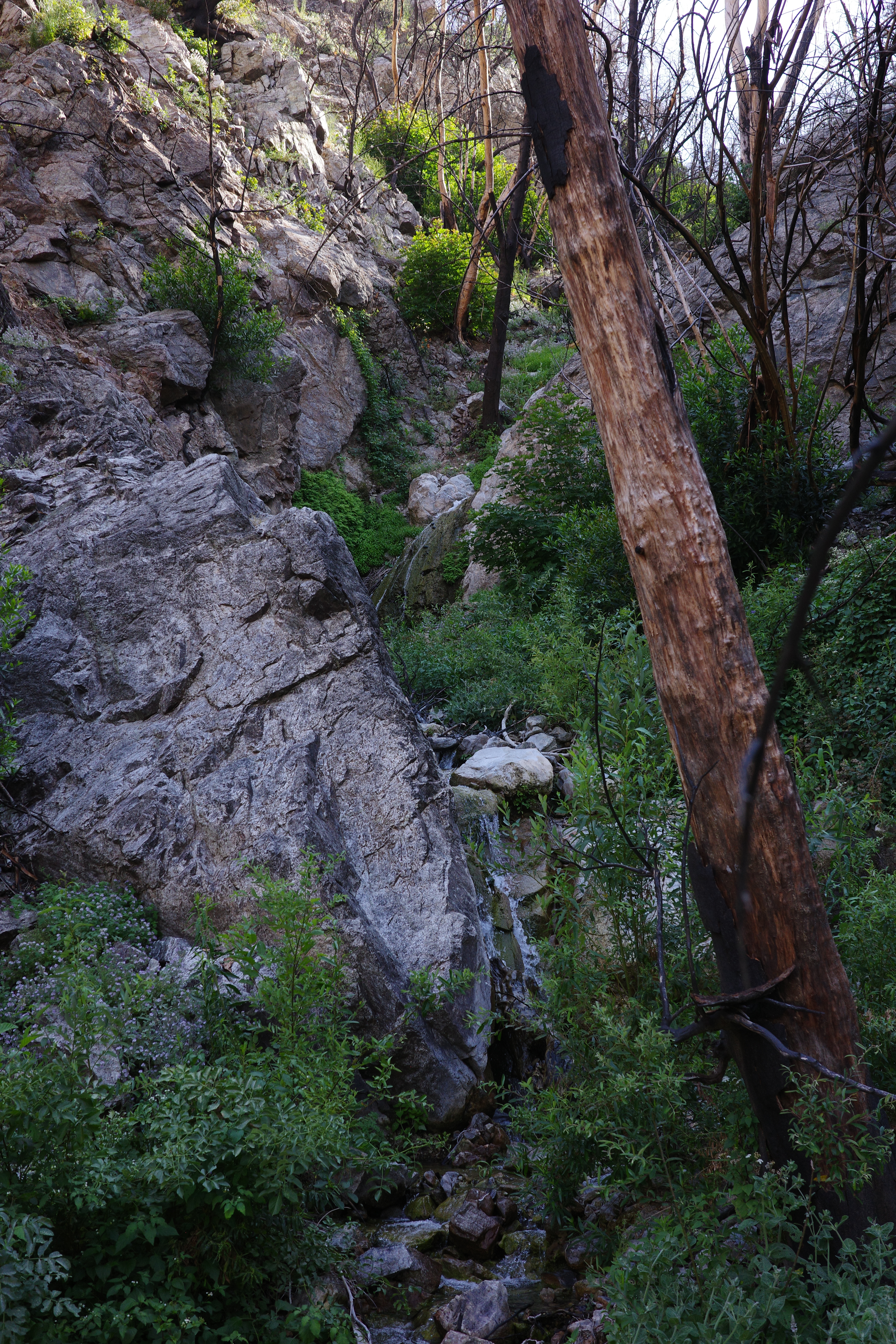
Walking here is hellacious. Here's the route:
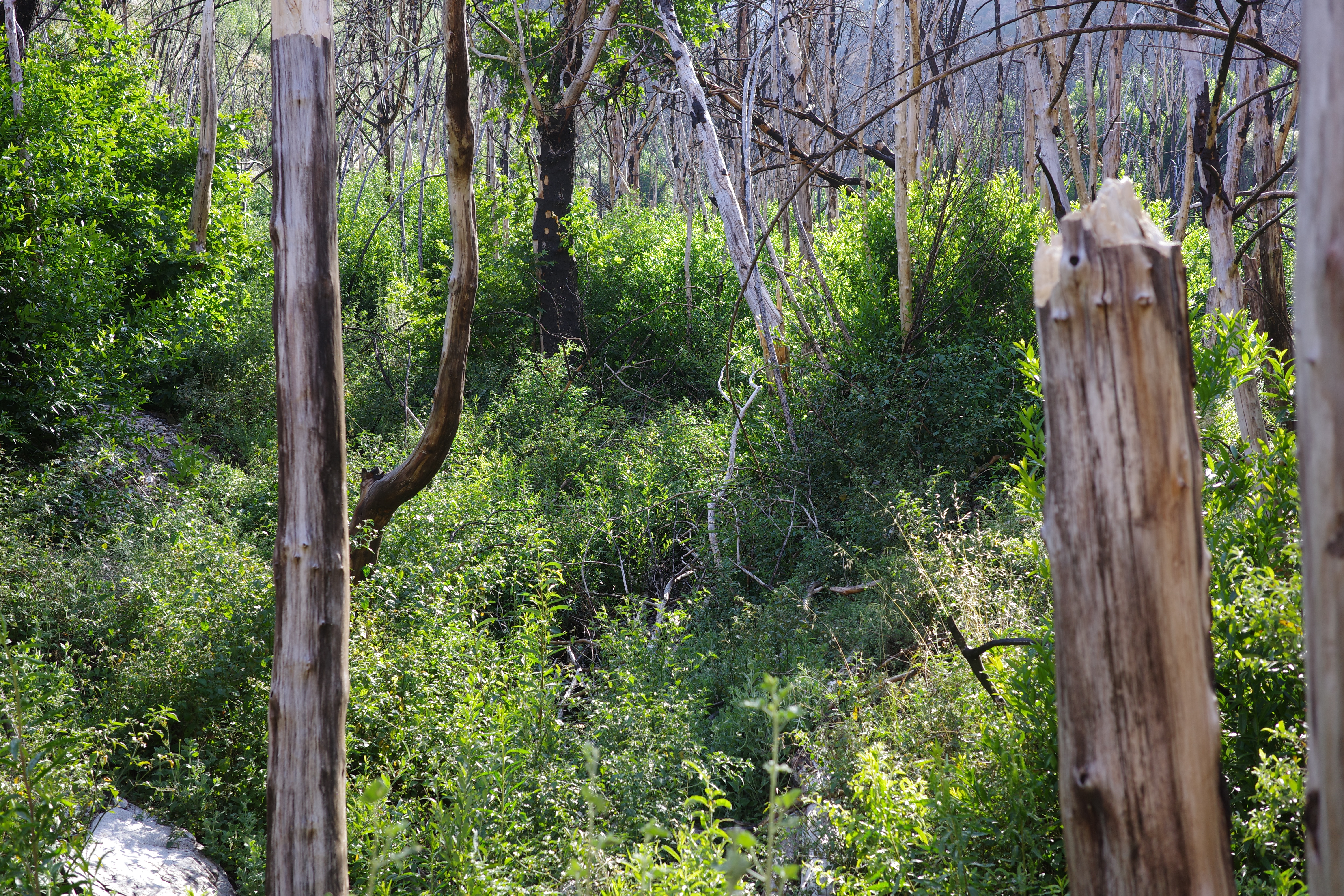
Eventually I got fed up, and climbed back out again to bypass the brush:
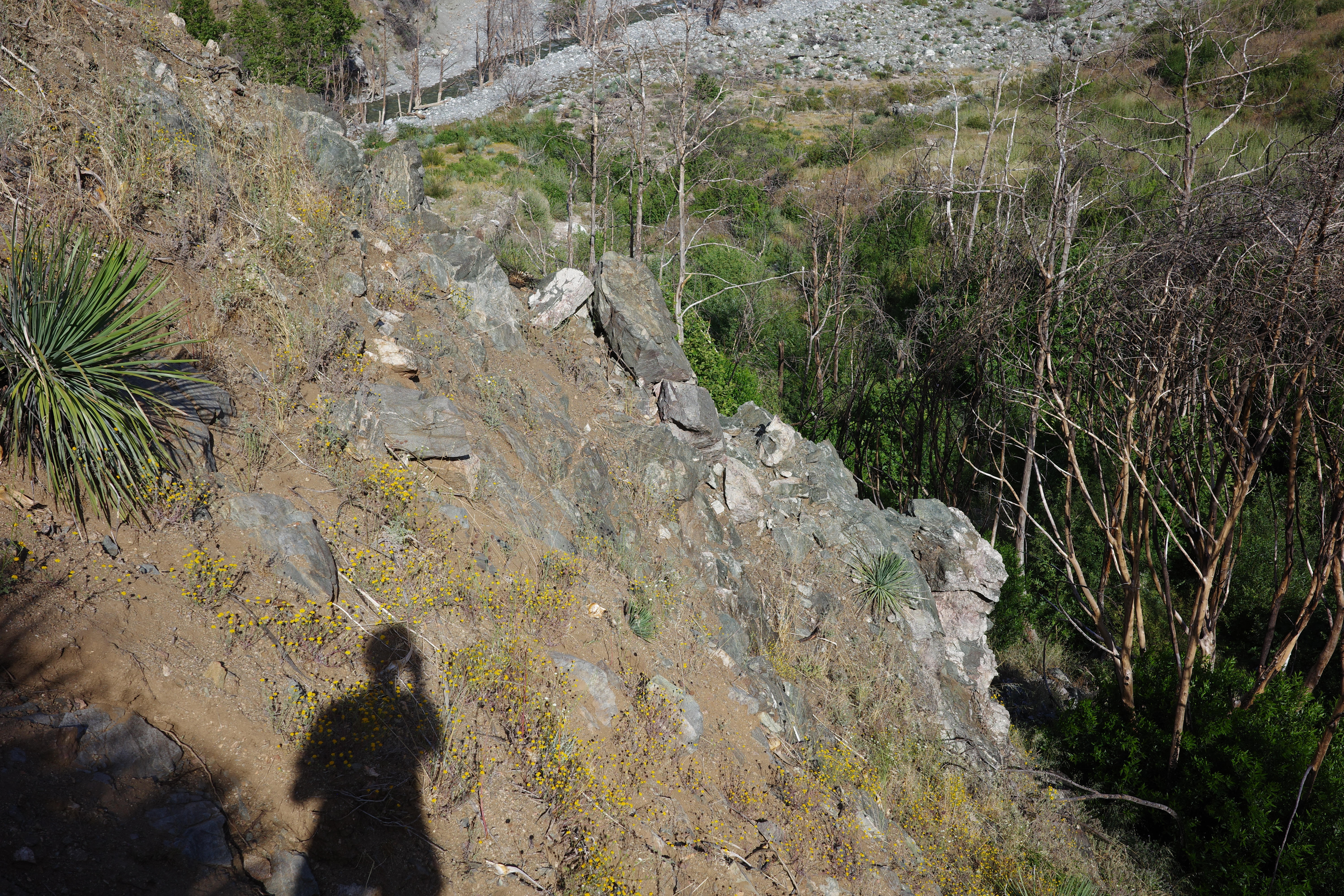
Aaaah. So nice. Down at the East Fork was the other significant wildlife of the day:
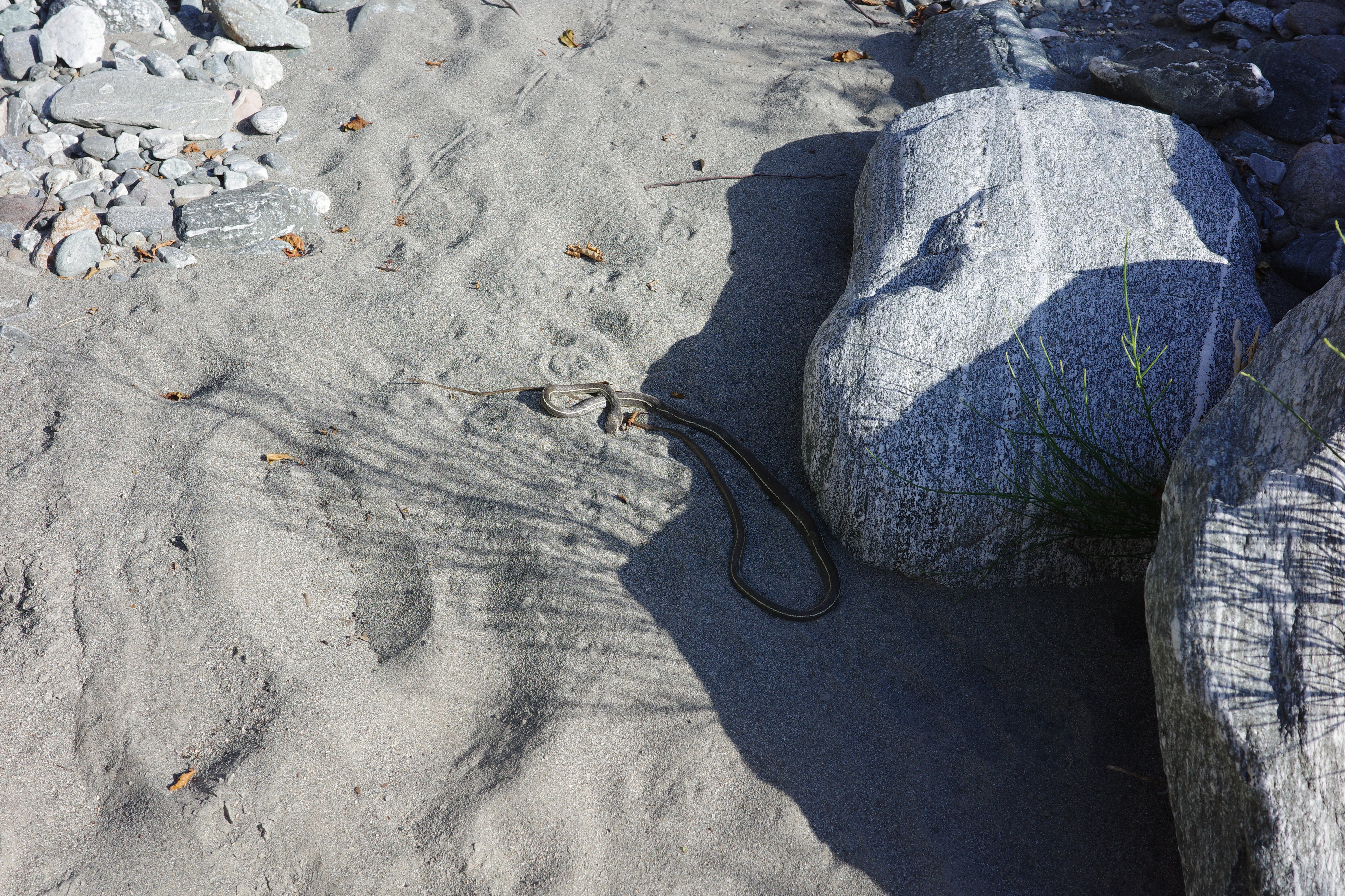
They're all dead today for some reason. My bike was at the second tunnel. The original thought was to check out the easy Rattlesnake canyon descent, then climb back up, and go back the way I came. Clearly that wasn't happening. So I walked all the way down to Heaton Flat, then up the old shortcut road to Shoemaker canyon rd, and to the tunnel. Took a while, but I was able to finish everything before it got too dark.
OK. I'll probably go back to check out that mine in a few months (via a wide bypass of the bottom of Rattlesnake canyon). And maybe the rest of that section towards Devil's Gulch. But that's small potatoes: the one exciting remaining section is Iron Fork camp to Fish Fork camp. Join me!