


Back towards the section of the PL&P I skipped; I think the trail is visible in that image somewhere
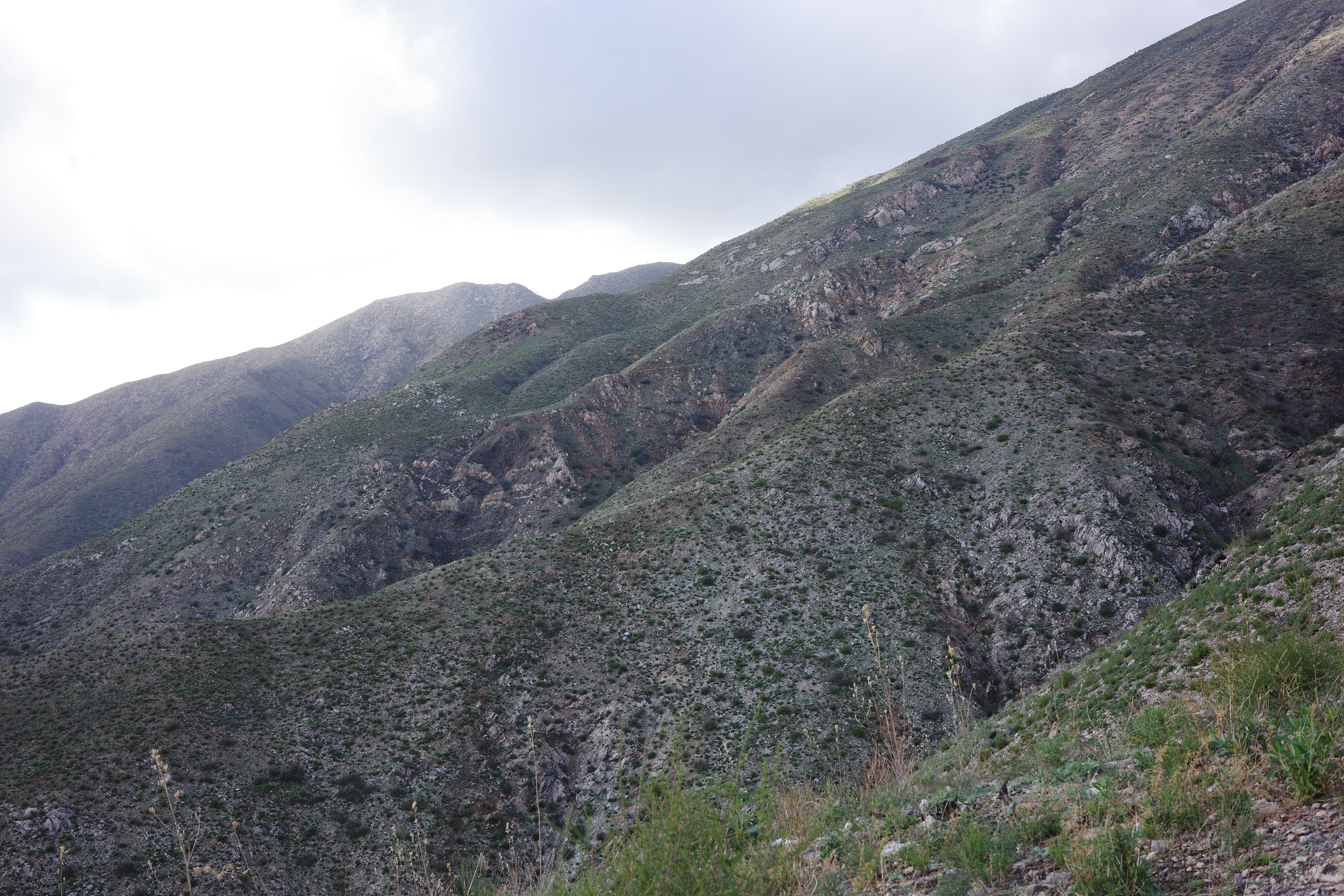
Slope to climb up the ridge towards Rattlesnake; I'm meeting the PL&P is up there somewhere.
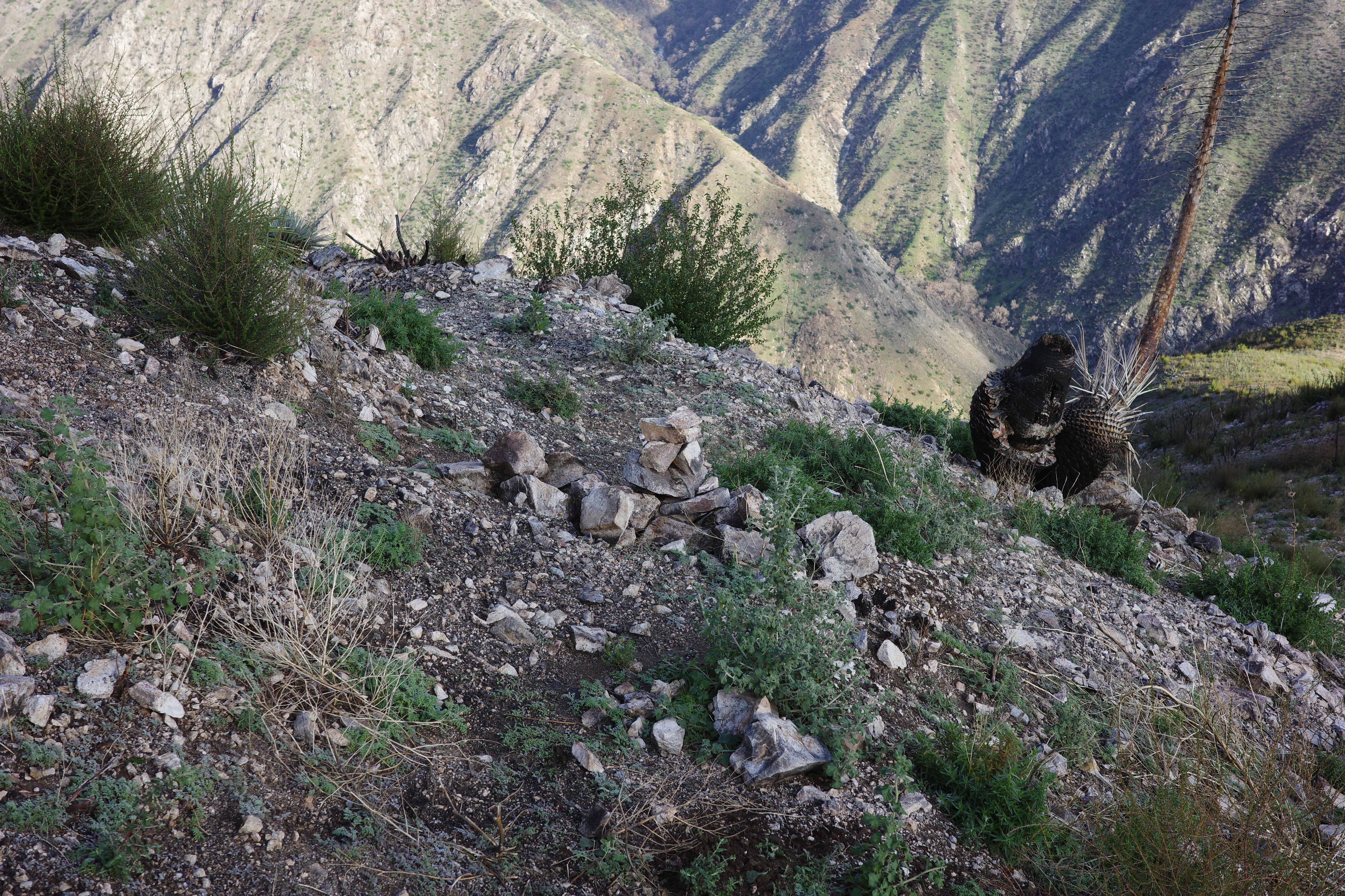
Found the junction! It's here. A big cairn is here to make sure the Rattlesnake people don't turn off to the PL&P trail, which actually looks more travelled right here:
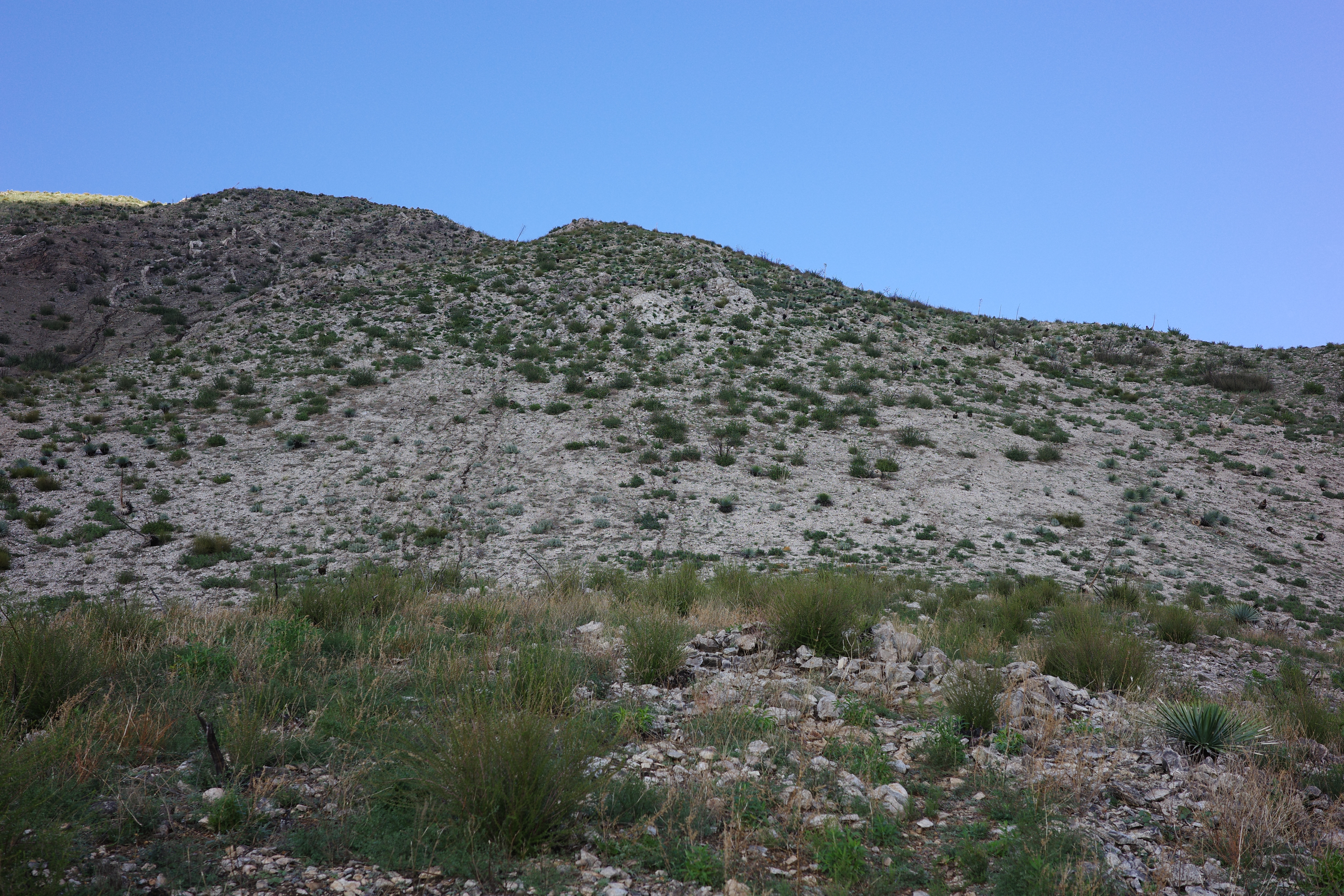
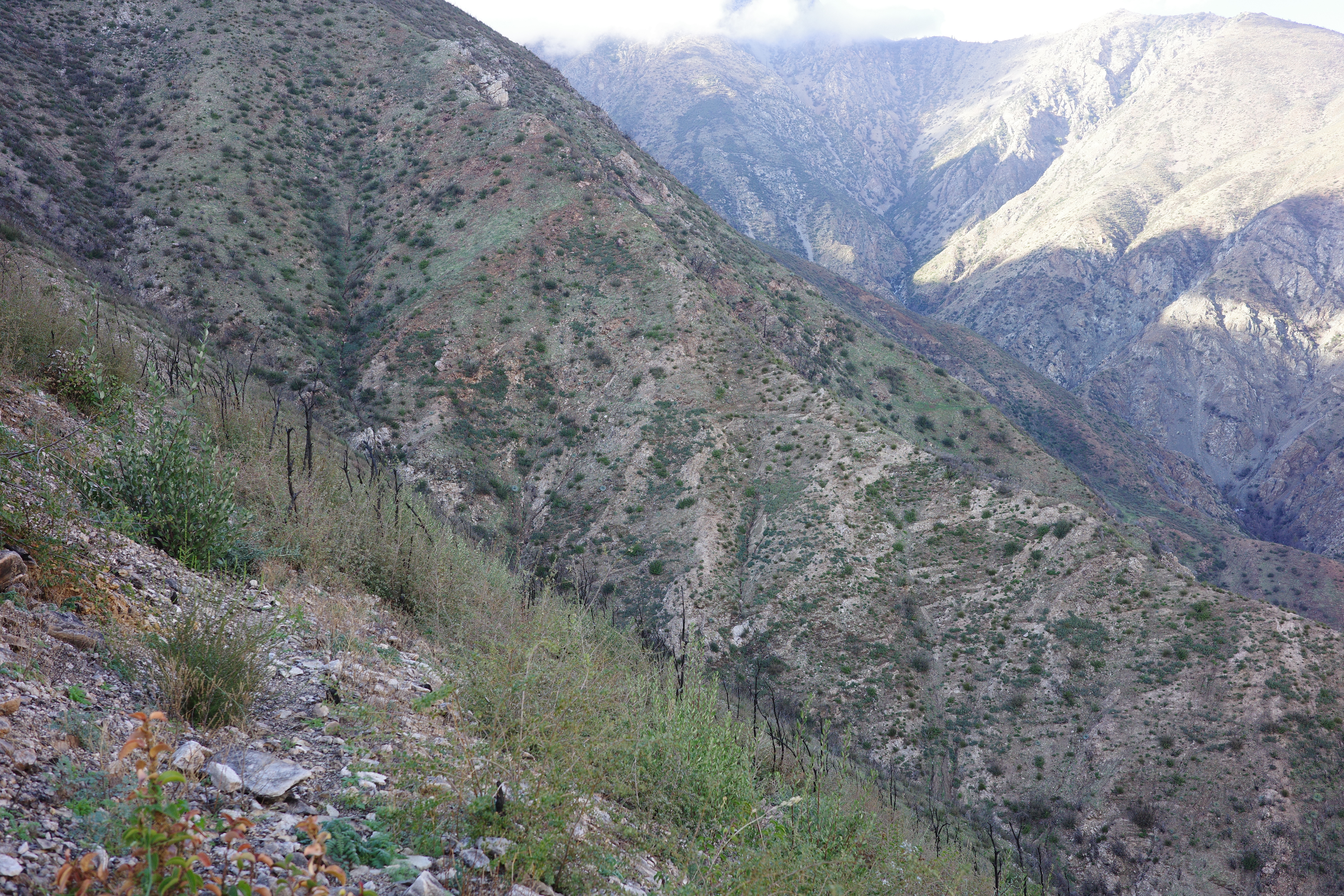
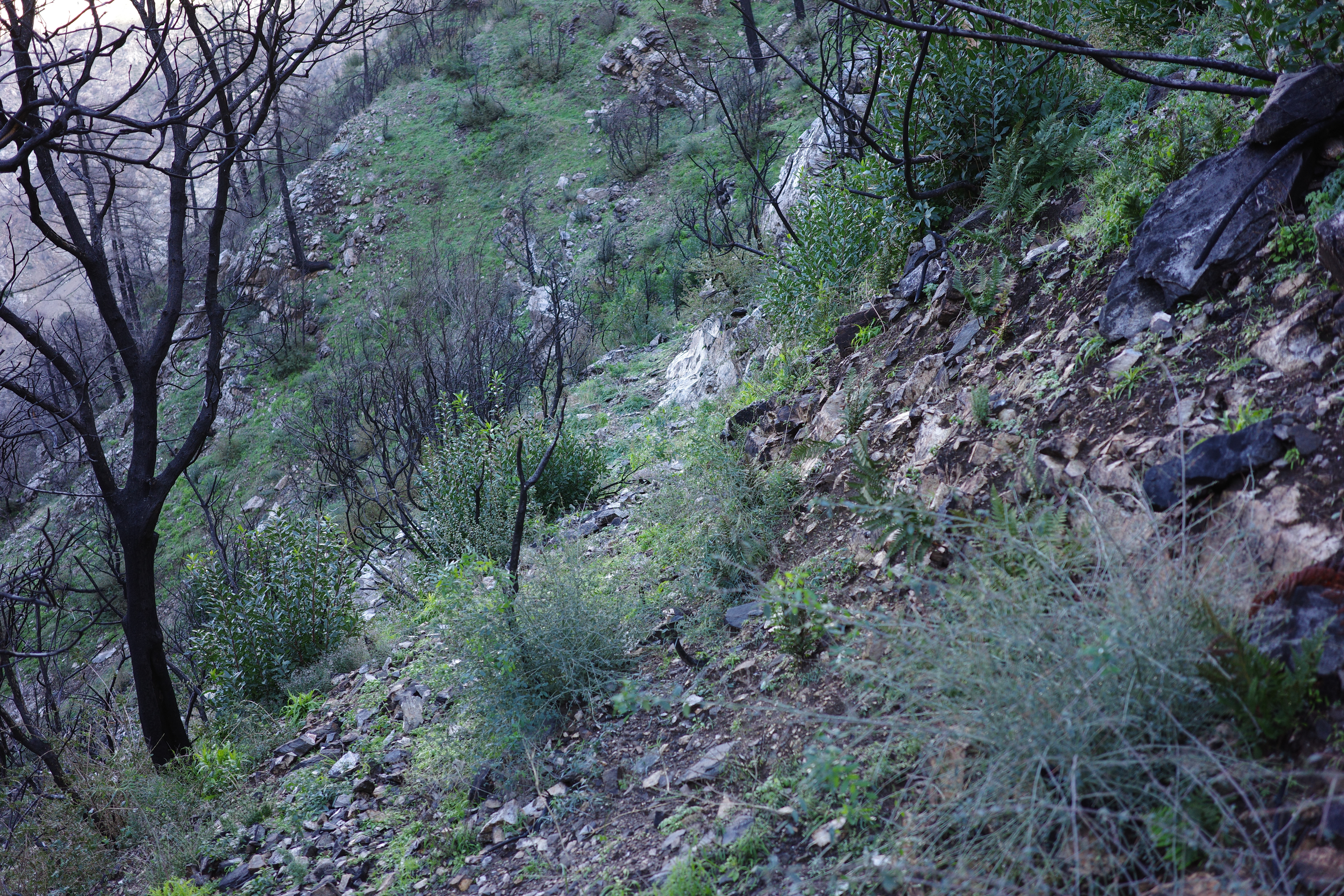
I did want to turn off, so I did that, and immediately saw the first cliffy section I'd be crossing; the first of many:
As I've come to expect with these trips, it's crossing a steep face, it looks highly questionable when looking at it and in the photos, but once you're on it, it's totally fine. Looks more fine in person than in the photos.
Cool views. Iron Mt:
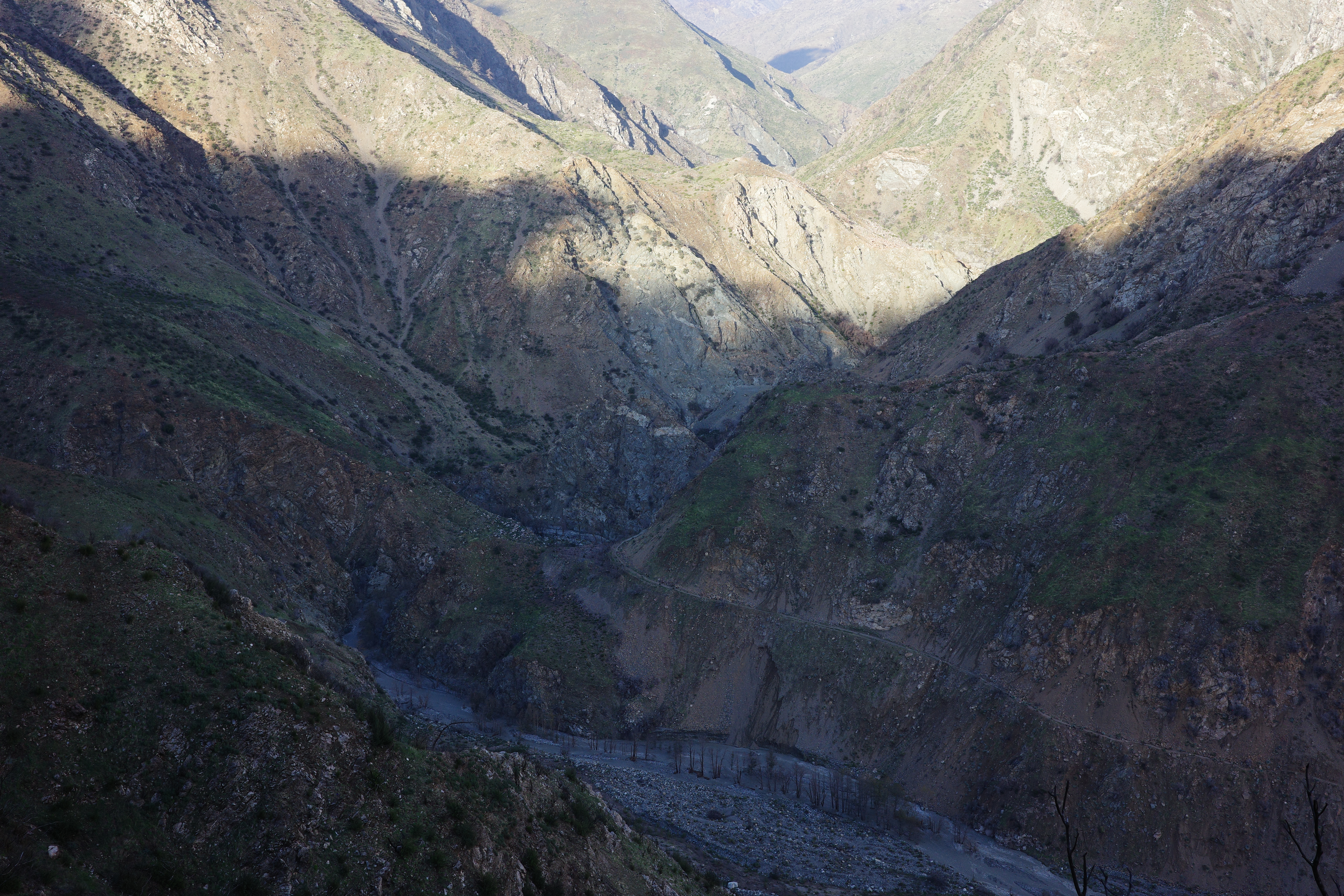
The river below
We just got a lot of rain, so the river is raging, and there's nobody down there. Pretty sure it's impossible to semi-casually hike towards the bridge right now. View back. That's Allison Gulch coming in from the left, which is behind me now!
But I'm not going down there, and keep walking the PL&P. It's still here, and doing great. The trail right here, and the following next few sections visible here:
This trip was a connection between the out-there-adjacent area of the tunnels and the fully-out-there area of the bridge and beyond. Rattlesnake canyon, Devil's Gulch and airplane flat and so on:
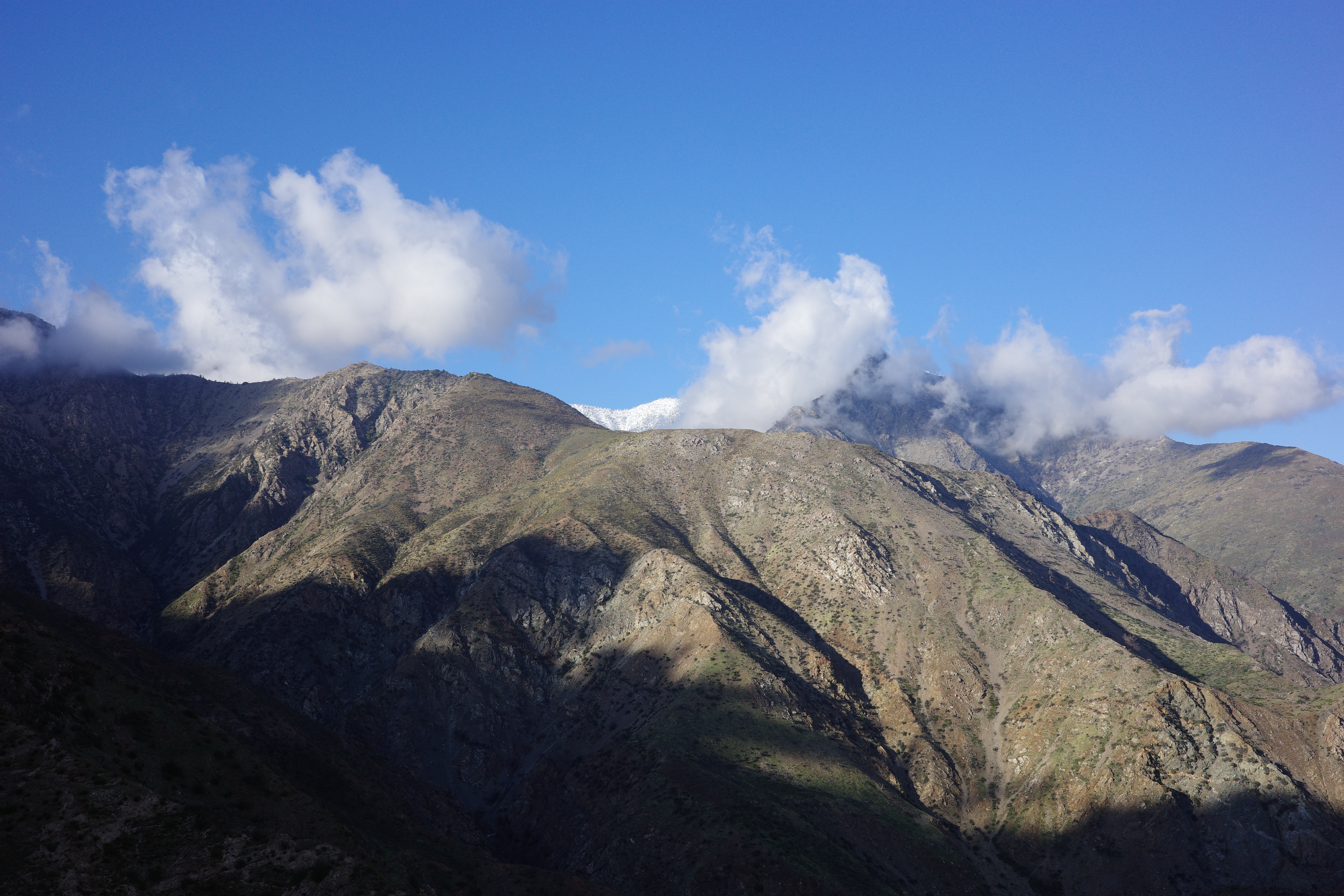
South Hawkins has snow
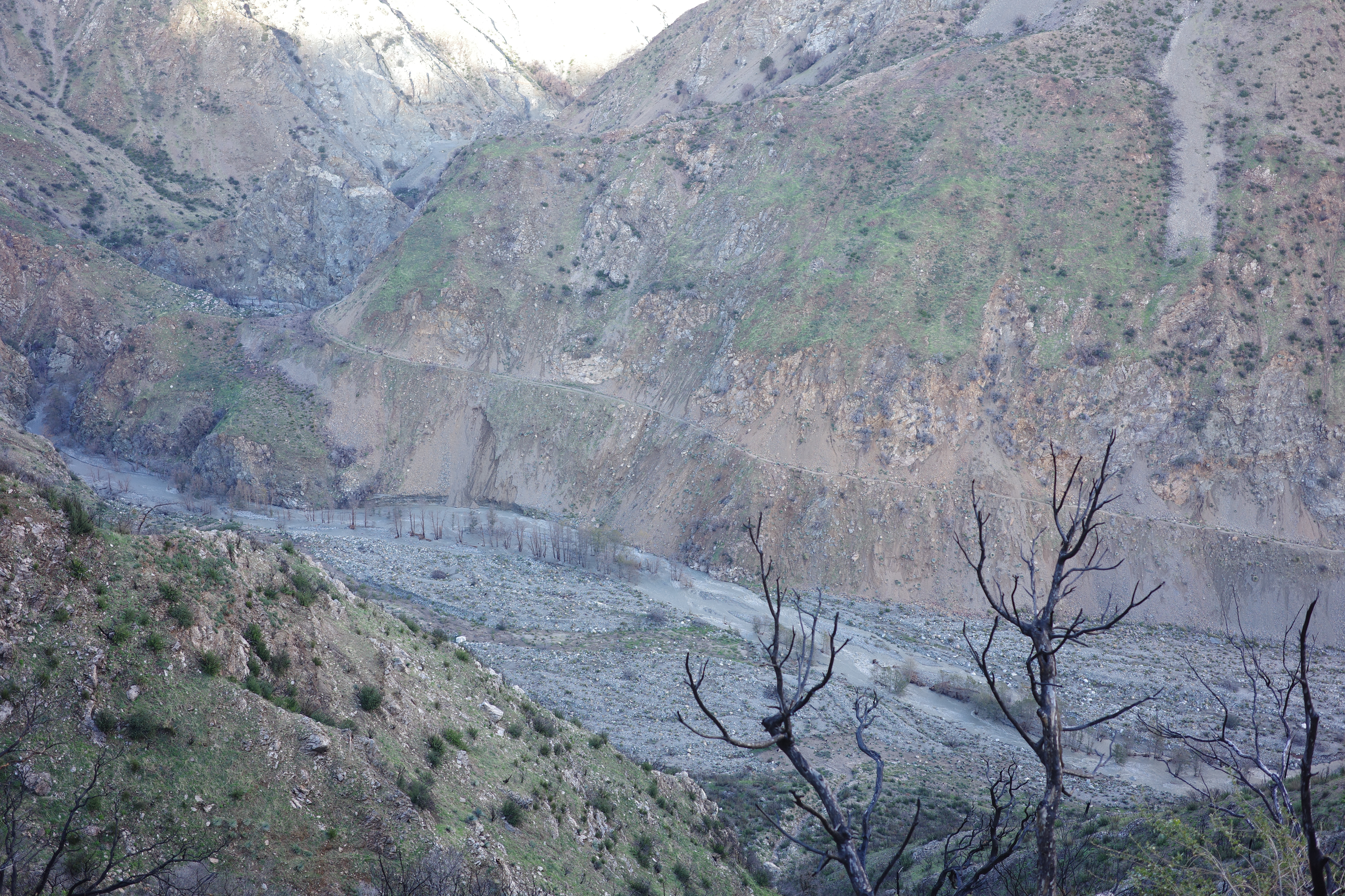
The beginning of the East Fork narrows:
But I actually need to get to those places first. Next section of the PL&P:
I'm getting close to rounding the corner into Rattlesnake Canyon. The trail on the other side:
The map shows another trail that descends along Rattlesnake Canyon down to the East Fork, and I think that's what those photos show. The old switchbacks are still visible in the second photo, just to the right of the washout. Devil's Gulch now becomes more visible; I don't see the trail over there:
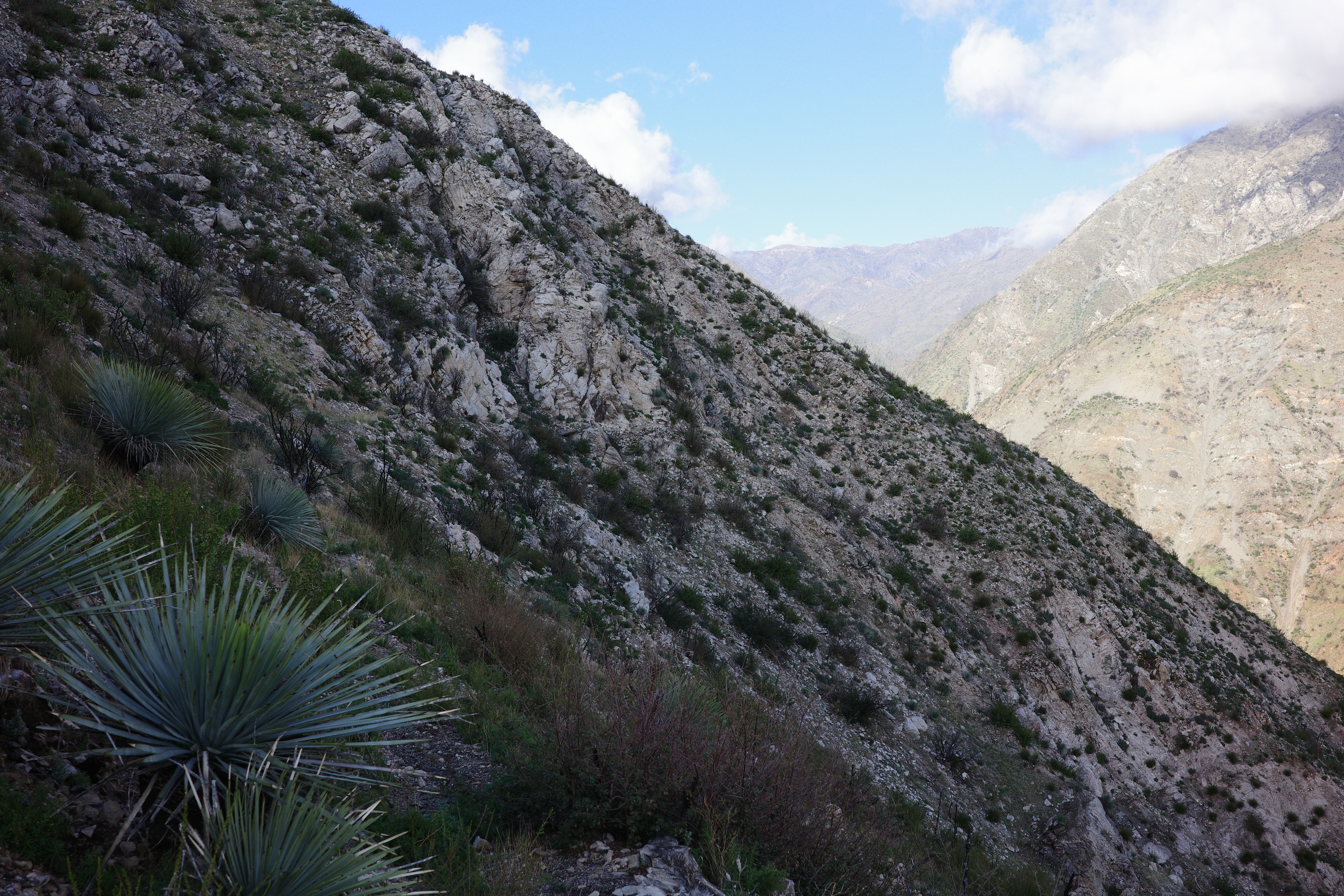
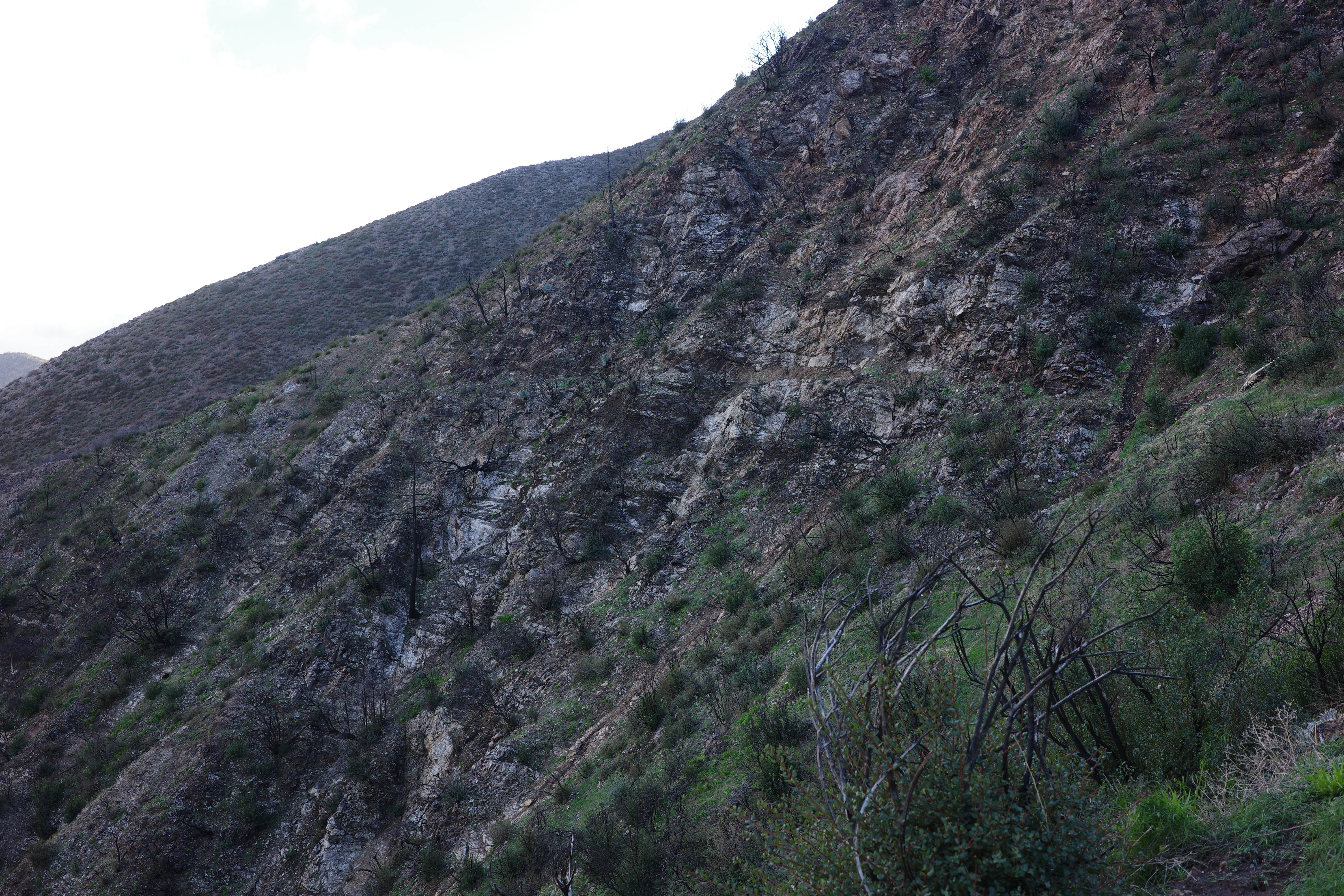
The trail I'm currently on is again cliffy, but maybe not too bad
And I could eventually see Rattlesnake Canyon far below:
It has a big waterfall coming off the peak

My turnaround time and sunset was approaching. Being way in the middle of nowhere by myself, crossing spooky cliffy slopes was starting to get to me. Barely above Rattlesnake Canyon I hit a washout I didn't like, and decided to turn around here:
The left 1/3 of the photo is the questionable washout. The right 2/3 is the "good" trail on the other side. I'm pretty sure it didn't look this bad being there. The washout is a minor drainage eroded all the way to the rock
It was probably doable safely, but I wasn't feeling it at that moment. This was practically at the Rattlesnake Gulch crossing.
I went back the same way
Crossed the same slopes, in the other direction; didn't feel any better, but was good-enough.

This trail is excellent. Would be amazing to restore it. There are 3 chunk left: Rattlesnake Gulch to above the bridge (past Devil's Gulch), Iron Fork to Fish Fork, the chunk above the second tunnel that I skipped. Whatever is next, I probably need to wait for the area to dry out first.
Afterwards I met up with Taco and crew at the first tunnel. The festivities would normally take place at the second tunnel, but the Shoemaker Canyon crossing between the two now looks like this:

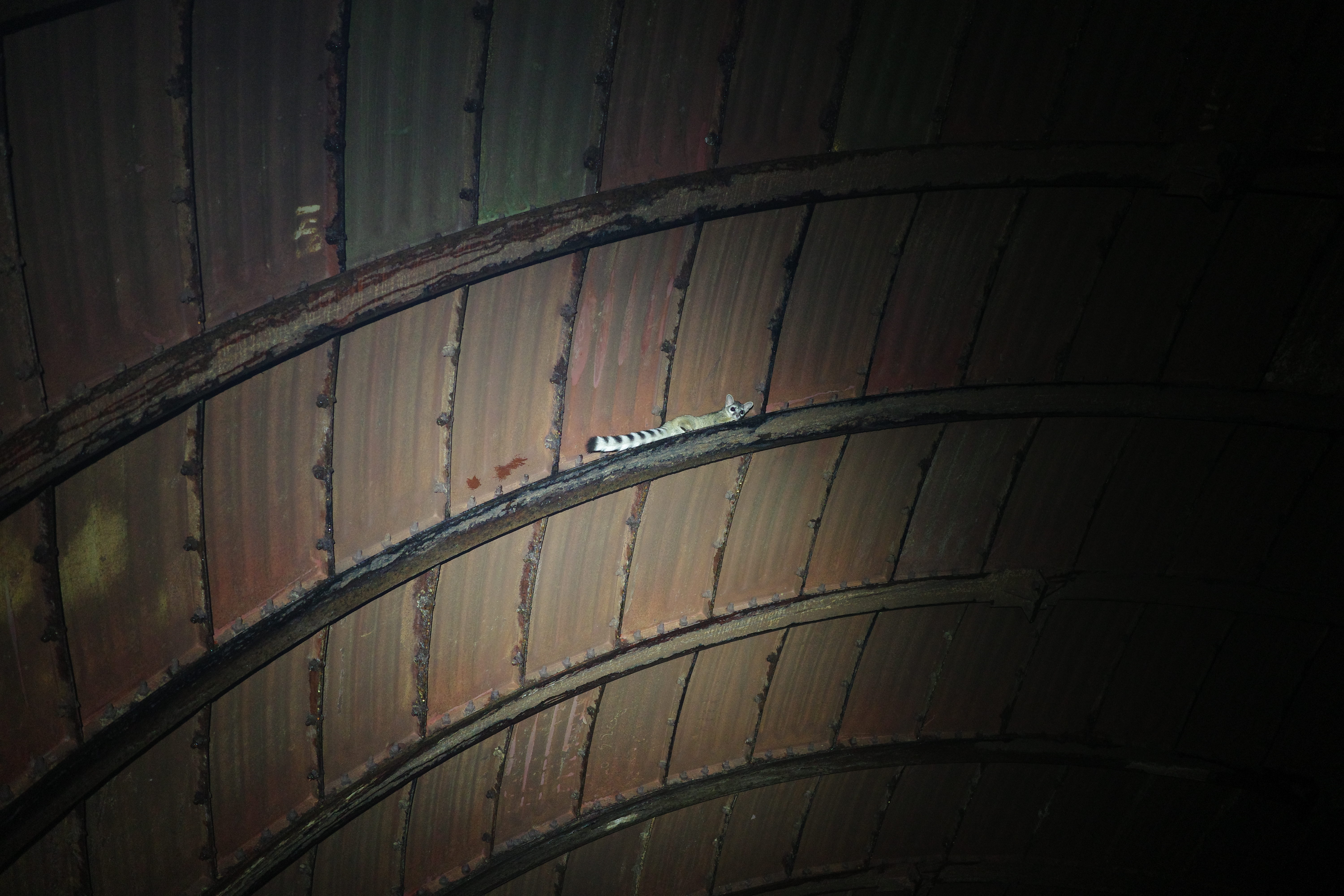
A ringtail cat lives here!
This tunnel pre-party and the tunnel party were great. The after-party was great also, to be documented in an upcoming report!

