The pole has been accessed
Posted: Sun May 29, 2016 2:24 am
So after way too much time spent NOT doing this, I finally hit the Pole of Inaccessibility, and placed a register there. All possible approaches looked painful (almost like somebody designed it that way!), so today I took the easiest (but not easy) route. This is Vincent Gap to Mount Baden-Powell to Ross Mountain (the mountain, not the man), then dropping down to the Pole.
I've never climbed the switchbacks up Baden-Powell before, and that area was suprisingly nice: most of the climb is in a pine forest. Met many PCT through hikers between Vincent Gap and the Baden-Powell summit. Once on top, Ross Mountain came into view, as well as the ridge that gets you there.
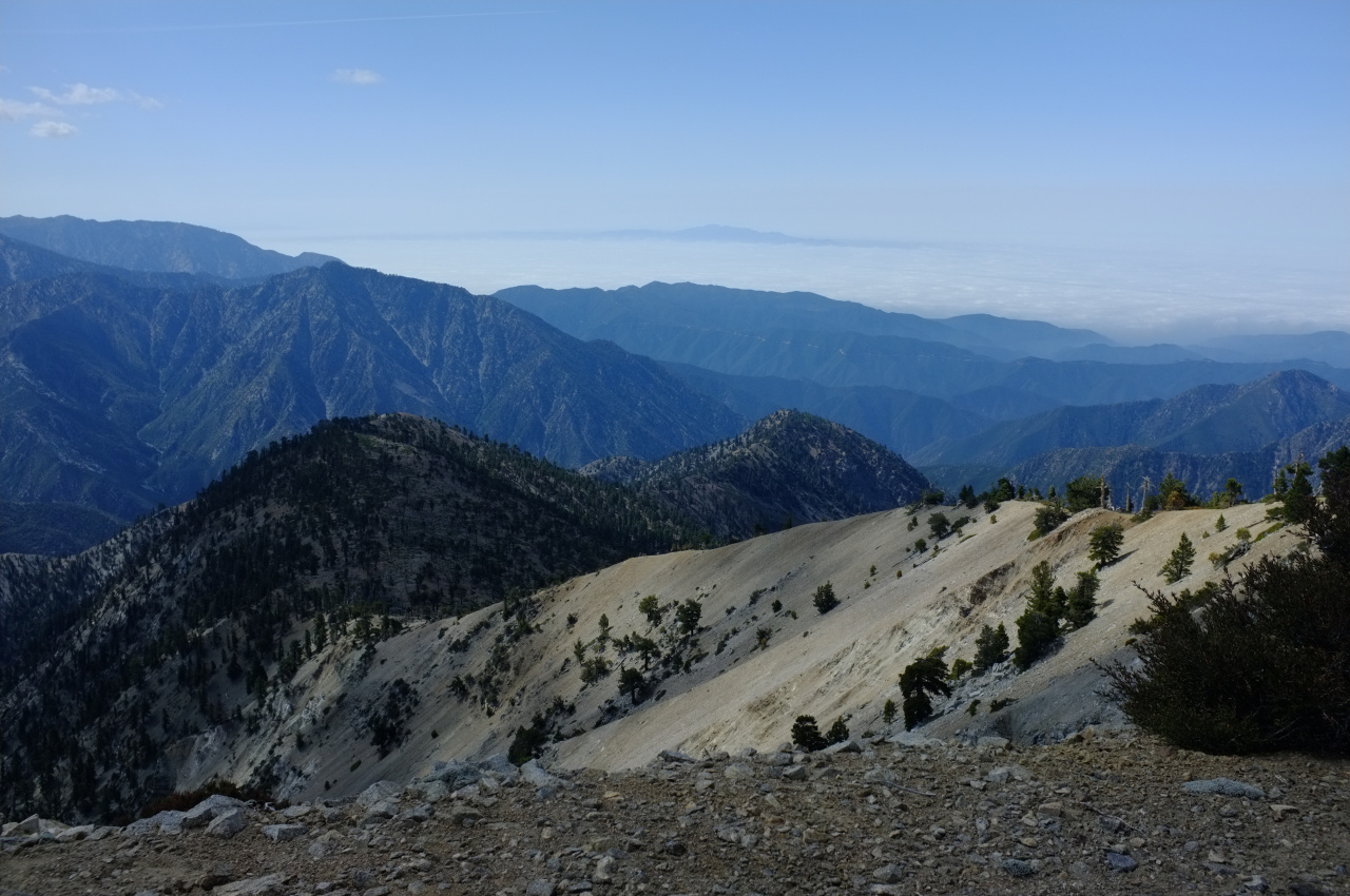
Rattlesnake Peak is visible on the right. The route along that ridge is straightforward, with a use trail present for much of it. There are some bumps, and some steep sections, but nothing remotely technical. There are some great views along the way! Here's Mine Gulch and Pine Mountain Ridge and Prairie Fork:
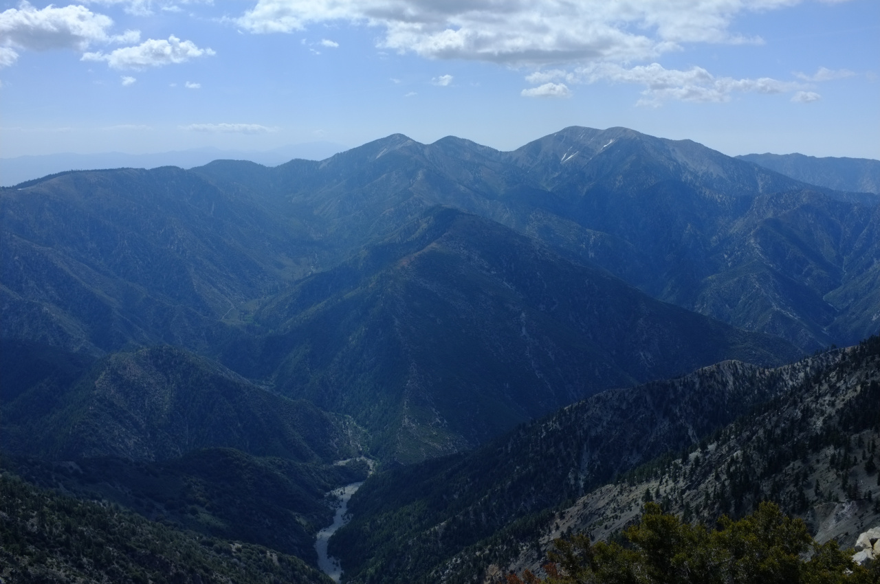
What's the road or trail visible in Prairie Fork? Is that the route to Cabin Flat Camp?
The ridge is mostly an open forest:

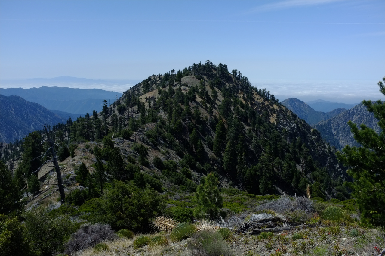
Nearing Ross, Baden-Powell looks pretty far away.

Soon, I was on top of Ross Mountain:

Another hiker was already there, and I caught up with another on the return trip. Three in one day seems like a lot for this one. In any case, Mars Bonfire dominated the register book, and I only saw a handful of other familiar entries, including from the trek _kick_rocks_ posted earlier.
It was time to drop down to the Pole. The location can be seen on this map: http://caltopo.com/m/4N7A The topo shows steep terrain throughout, getting steeper as you descend. So the plan was to stay on the adjacent minor ridge as long as possible to reduce the grade, and then to traverse across when I got to the correct elevation of ~6000ft. At first, the terrain was mostly steep-but-not-feeling-unsafe, with small rocks and not a lot of brush:
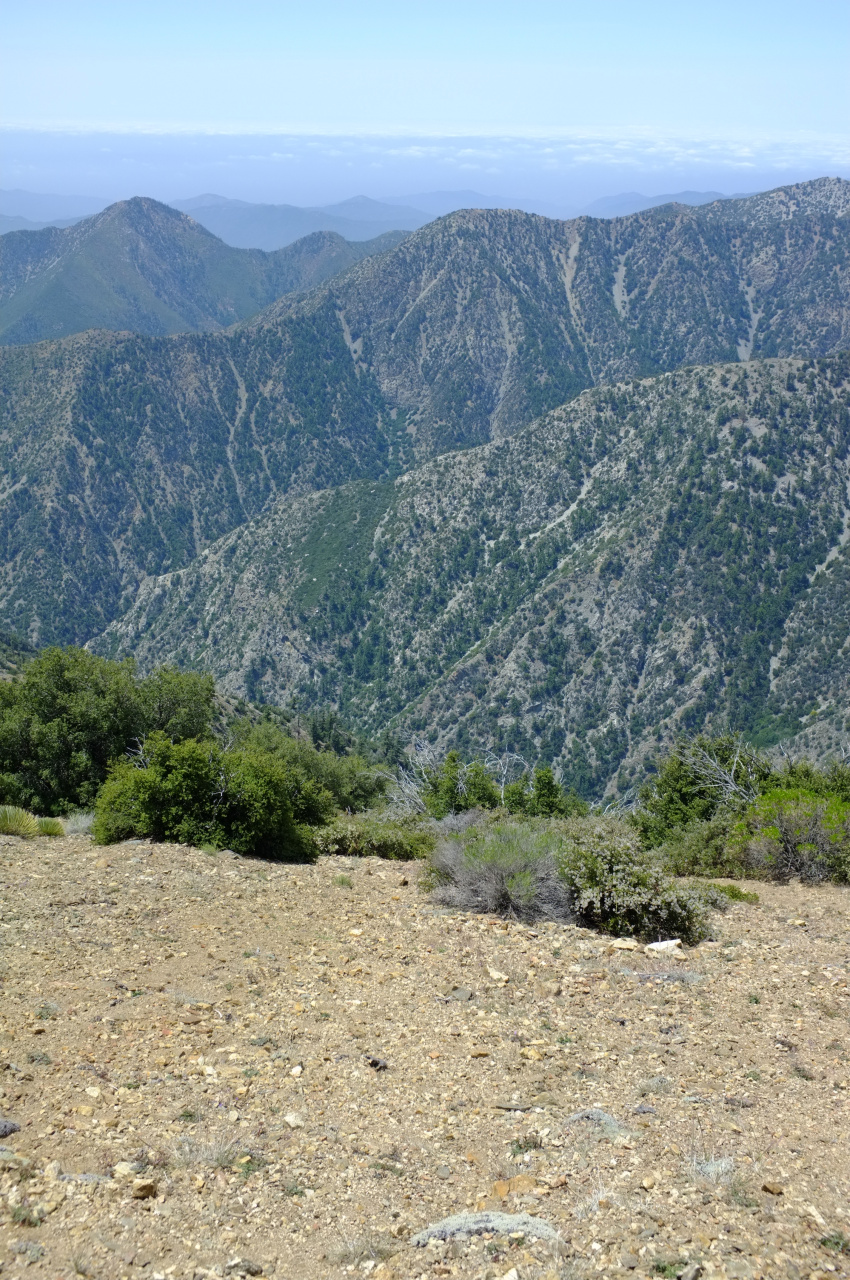
Maybe a third of the descent was like this, and it took no time at all. Then this happened:
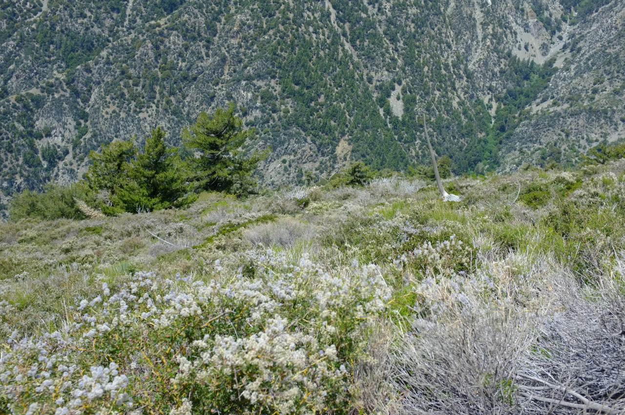
I didn't bother to study the aerial imagery, and now there was a thick carpet of brush in front of me. Half of it was manzanita, which isn't too terrible, but the other half was something sharp and poky. I also neglected to wear long pants. This slowed down progress dramatically. After much unpleasantness, I pushed through the brush. The terrain became uncomfortably steep, with multiple small gullies. There were some trees and yuccas, and there was much shale scree. Nearing the Pole, I found some birthday baloons:

Can't get away from those things. After much circling around on the tricky terrain, I arrived at the Pole. It is roughly in this thicket of brush:
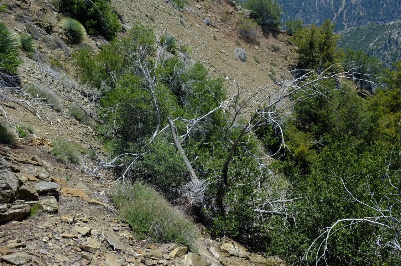
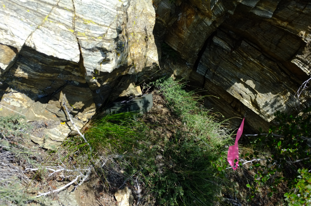
I wanted to place the register somewhere stable and prominent, both of which were lacking in this area. I left it directly above this thicket, above a large block of shale, at the base of the block above it. This is on a minor ridge between two minor gullies. I flagged out the immediate vicinity to make it easier to find, but it would still be a challenge I suspect:
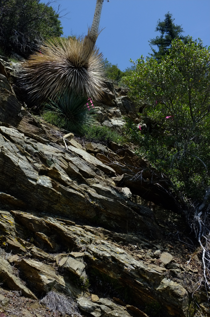
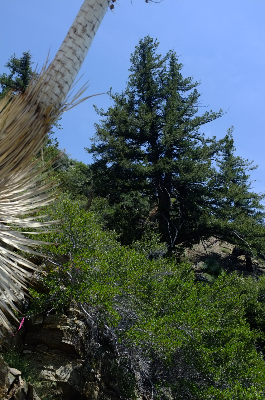
Looking up and South is this tree:
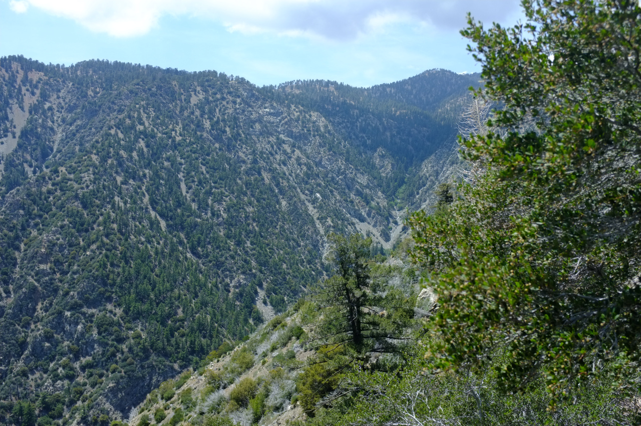
Looking down and North is this tree:
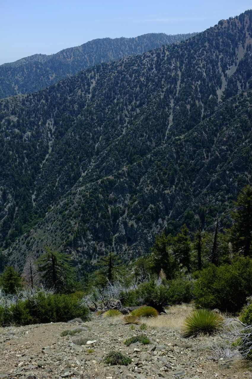
Now it was time to go back up to Ross. I found some animal tracks that avoided the brush by skirting around it on the North side. This is steeper and looser, but not brushy. Here're representative photos:

Climbing out of Ross, I was looking at Iron Mt, its North ridge and San Antonio Ridge:

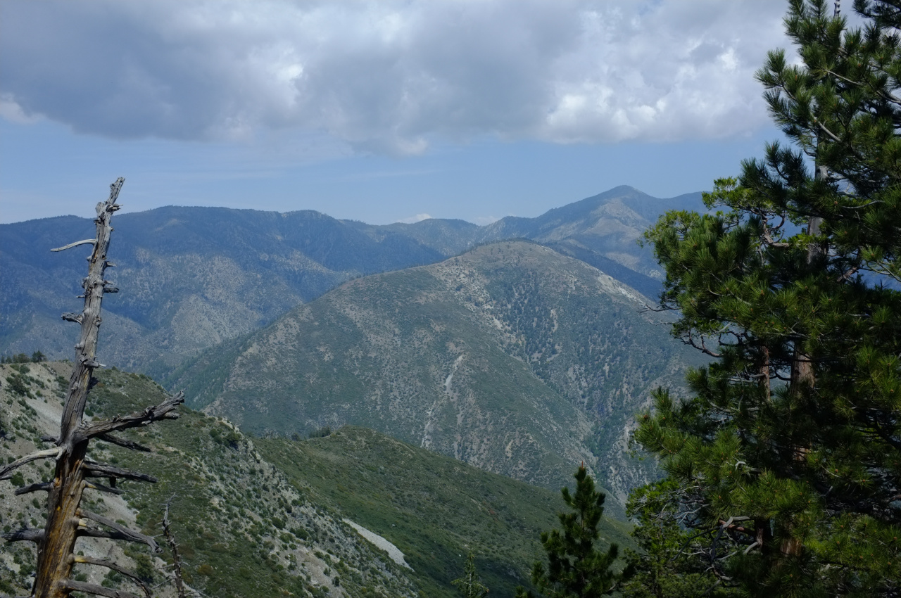
And Pine mountain with its long ridge:
I then pushed through the long slog back to Baden-Powell and down to Vincent Gap. This felt like a pretty long trip and I was happy to finally get back to my car. I cribbed off Sean to bring an extra pair of socks with me, which was a brilliant idea. Next time I'm bringing two extra pairs. And the next time I go to the Pole of Inaccessibility, I'll probably approach from below. Somehow.
I've never climbed the switchbacks up Baden-Powell before, and that area was suprisingly nice: most of the climb is in a pine forest. Met many PCT through hikers between Vincent Gap and the Baden-Powell summit. Once on top, Ross Mountain came into view, as well as the ridge that gets you there.

Rattlesnake Peak is visible on the right. The route along that ridge is straightforward, with a use trail present for much of it. There are some bumps, and some steep sections, but nothing remotely technical. There are some great views along the way! Here's Mine Gulch and Pine Mountain Ridge and Prairie Fork:

What's the road or trail visible in Prairie Fork? Is that the route to Cabin Flat Camp?
The ridge is mostly an open forest:


Nearing Ross, Baden-Powell looks pretty far away.

Soon, I was on top of Ross Mountain:

Another hiker was already there, and I caught up with another on the return trip. Three in one day seems like a lot for this one. In any case, Mars Bonfire dominated the register book, and I only saw a handful of other familiar entries, including from the trek _kick_rocks_ posted earlier.
It was time to drop down to the Pole. The location can be seen on this map: http://caltopo.com/m/4N7A The topo shows steep terrain throughout, getting steeper as you descend. So the plan was to stay on the adjacent minor ridge as long as possible to reduce the grade, and then to traverse across when I got to the correct elevation of ~6000ft. At first, the terrain was mostly steep-but-not-feeling-unsafe, with small rocks and not a lot of brush:

Maybe a third of the descent was like this, and it took no time at all. Then this happened:

I didn't bother to study the aerial imagery, and now there was a thick carpet of brush in front of me. Half of it was manzanita, which isn't too terrible, but the other half was something sharp and poky. I also neglected to wear long pants. This slowed down progress dramatically. After much unpleasantness, I pushed through the brush. The terrain became uncomfortably steep, with multiple small gullies. There were some trees and yuccas, and there was much shale scree. Nearing the Pole, I found some birthday baloons:

Can't get away from those things. After much circling around on the tricky terrain, I arrived at the Pole. It is roughly in this thicket of brush:

I wanted to place the register somewhere stable and prominent, both of which were lacking in this area. I left it directly above this thicket, above a large block of shale, at the base of the block above it. This is on a minor ridge between two minor gullies. I flagged out the immediate vicinity to make it easier to find, but it would still be a challenge I suspect:


Looking up and South is this tree:

Looking down and North is this tree:

Now it was time to go back up to Ross. I found some animal tracks that avoided the brush by skirting around it on the North side. This is steeper and looser, but not brushy. Here're representative photos:


Climbing out of Ross, I was looking at Iron Mt, its North ridge and San Antonio Ridge:

And Pine mountain with its long ridge:

I then pushed through the long slog back to Baden-Powell and down to Vincent Gap. This felt like a pretty long trip and I was happy to finally get back to my car. I cribbed off Sean to bring an extra pair of socks with me, which was a brilliant idea. Next time I'm bringing two extra pairs. And the next time I go to the Pole of Inaccessibility, I'll probably approach from below. Somehow.
