

We started lower, at one of the lowest switchbacks on the road just above Icehouse (the big one with a couple trash cans), dropped into San Antonio Canyon and headed upstream to enter Good Cyn. Pretty easy going through the streambed. One of the main reasons we started this low was to scout out the canyon to see if it would be possible to create a giant loop from Icehouse, over the Three T's, up to Baldy, down the Ski Hut, then down SA Canyon starting at the falls back to Icehouse, entirely avoiding the road walk. Definitely doable.
We really enjoyed Good Canyon. Lots of variety, several fun class 3 obstacles (and some class 4 if you want it), nice views out over the canyon to Ontario, wildlife, and absolutely no sign of humans other than the occasional *&$%ing Happy Birthday mylar balloons high up in the trees that I can't seem to escape no matter where I go.
Some photos:
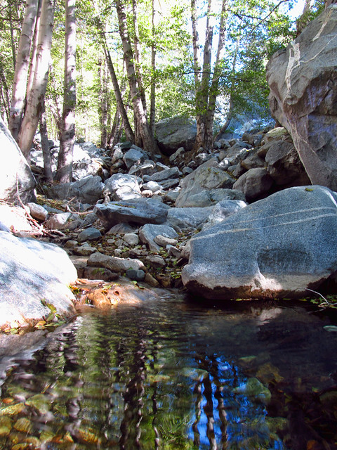
San Antonio Creek
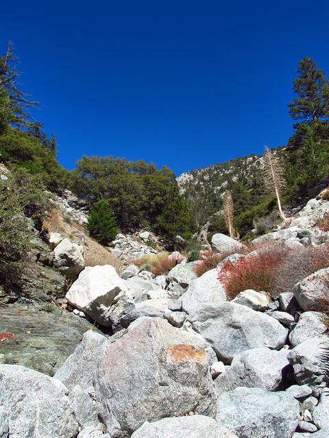
Talus Galore
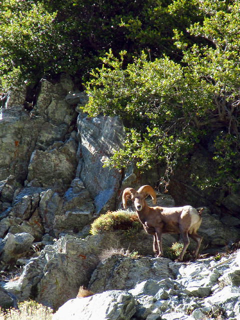
Local Resident
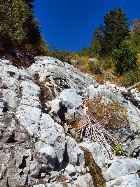
Lots of Scrambly Stuff
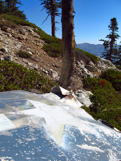
Hellcat Wing
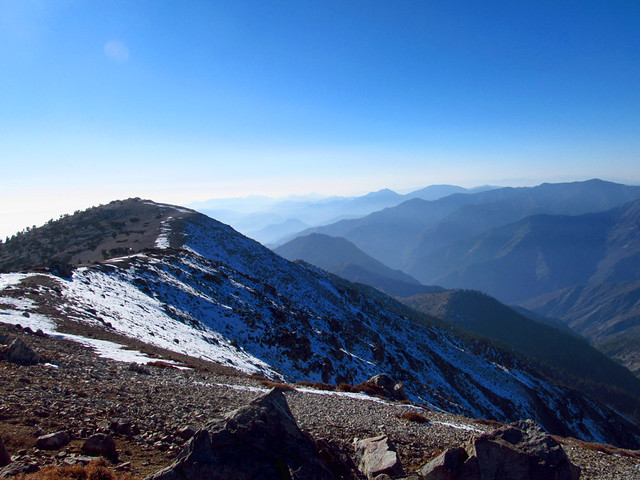
Patchy Northface
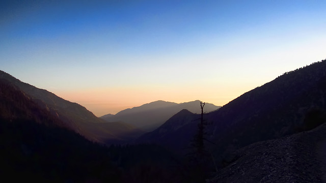
Late Day over San Antonio Canyon
A few more here:
http://www.flickr.com/photos/wattifoto/ ... 806210763/
