The Good Canyon Experience

TRs for the San Gabriel Mountains.
Post Reply
User avatar
Sean
Cucamonga
Posts: 3787
Joined: Wed Jul 27, 2011 12:32 pm

Post by Sean »

The alarm sounded at 4AM, but I couldn't will myself out of bed until the backup a half hour later. It was a 45-minute drive to Baldy, and I needed to shower, dress, eat breakfast, gas up the car, buy batteries for the Garmin, and meet Willie at the Visitor Center by 6AM. I made it, with negative minutes to spare.

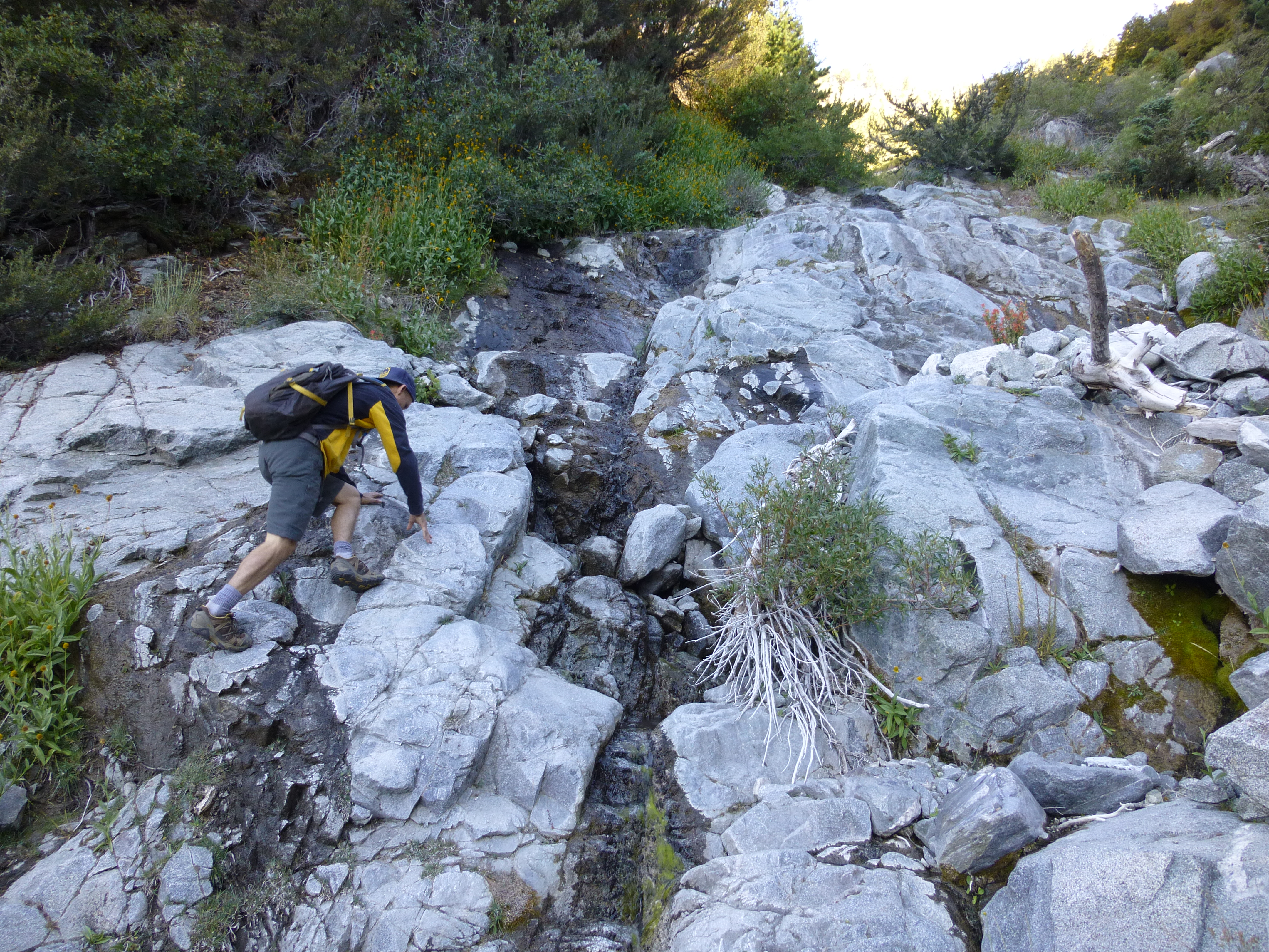
We carpooled to an unpaved turnout prior to where the road divides near Manker Flats. It was right across the street from the drop-in to Big Butch Wash, around elevation 5,900'. After descending Big Butch for 320 feet, we reached the mouth of Good Canyon, our primary objective for the day.

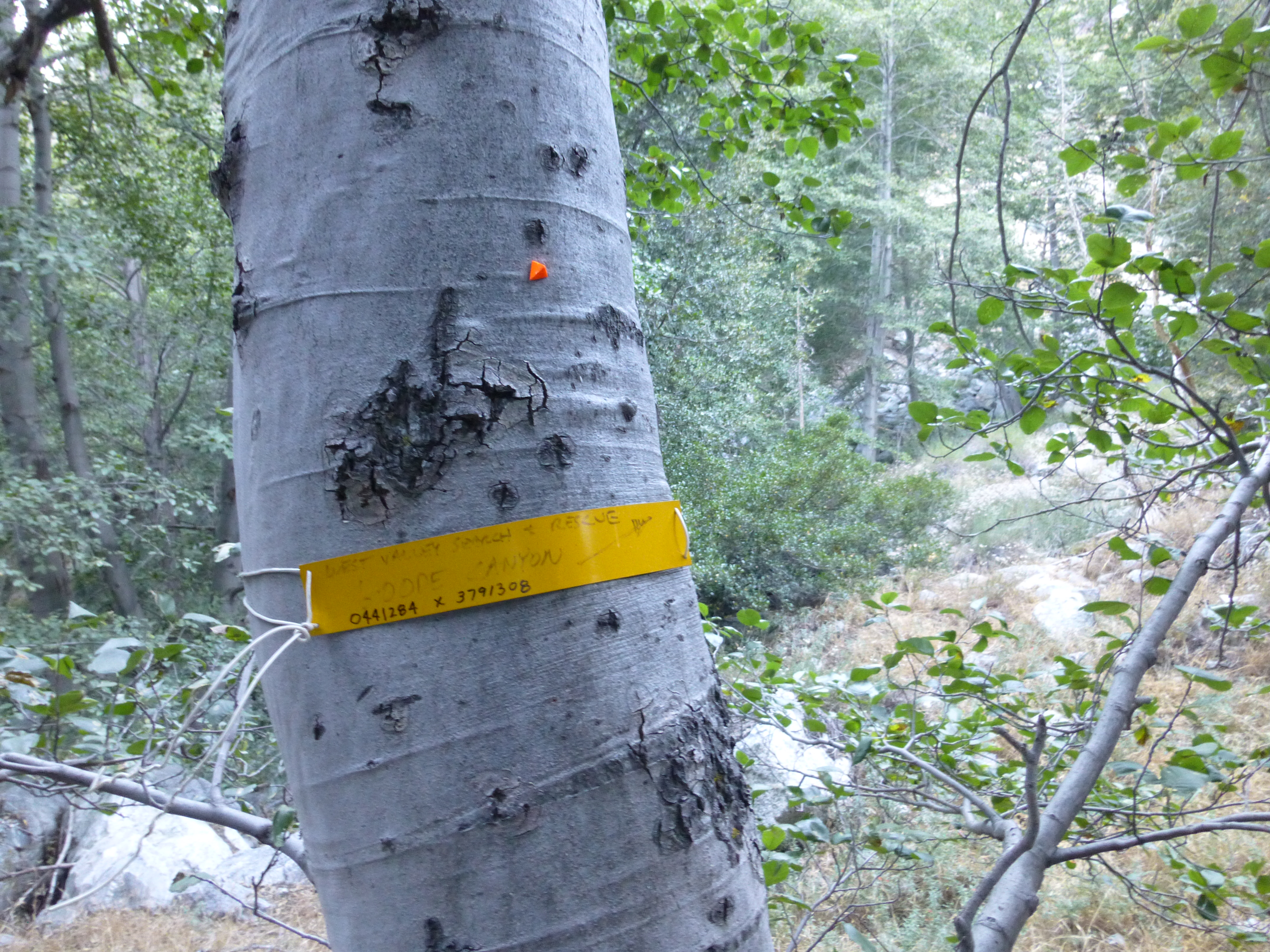
Getting to Good Canyon was a little less than straightforward. Big Butch first hit the confluence with San Antonio Canyon, which became appealing around the 5,680-foot mark. This area, where Big Butch, San Antonio, and Good all come together, was packed with trees, making navigation slightly confusing. However, I soon realized that we had to keep descending to the next confluence at 5,580'. There, a small yellow sign affixed to a tree read: "West Valley Search & Rescue, Goode Canyon." An arrow pointed toward our objective.

I noted the spelling of the canyon. Some people put an "e" on the end, and some don't. It is my understanding, however, that the canyon was named after Dr. Harvey Good, a biology professor and former Mt. Baldy fire chief. I, therefore, do not add the "e".

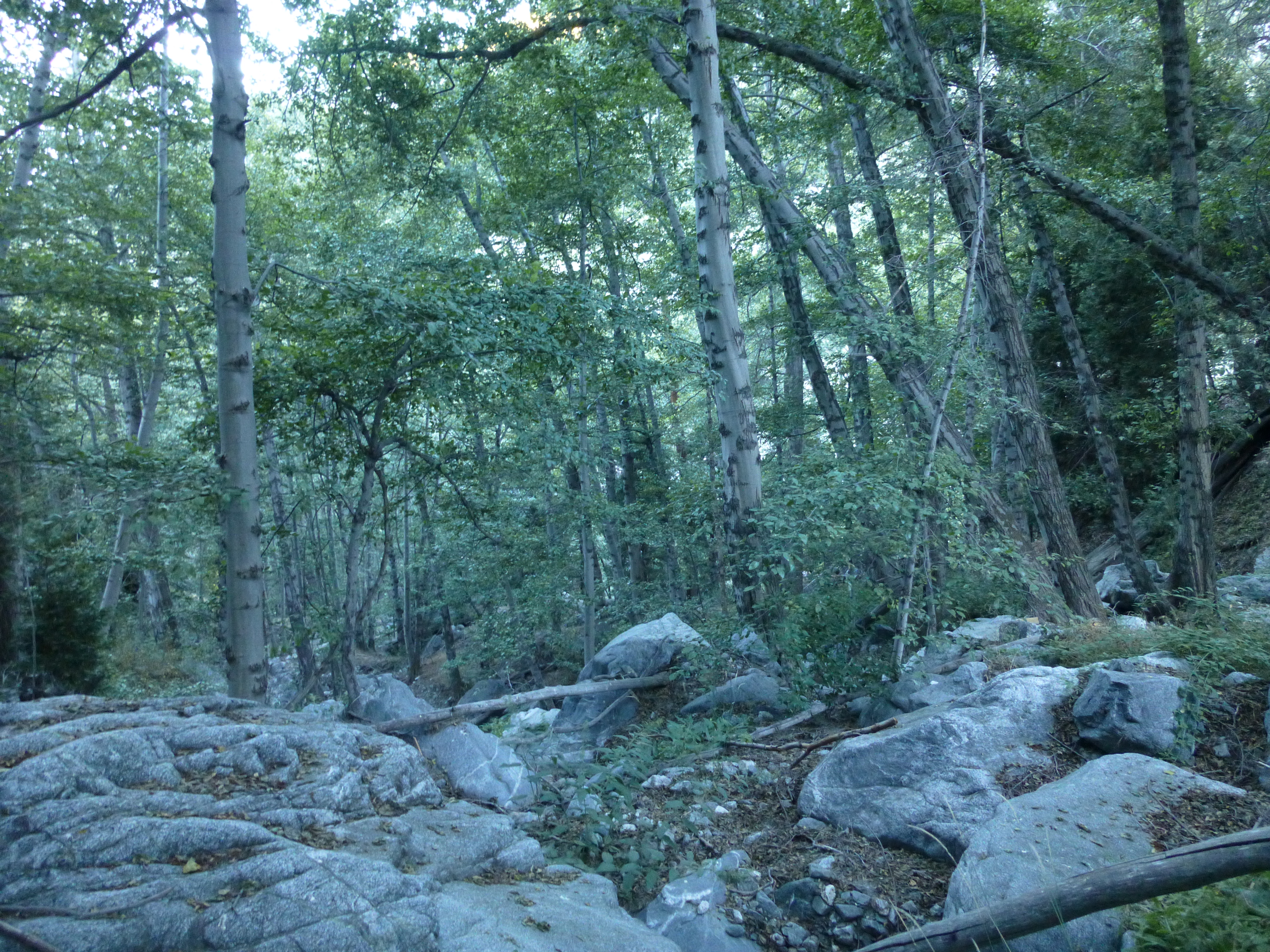
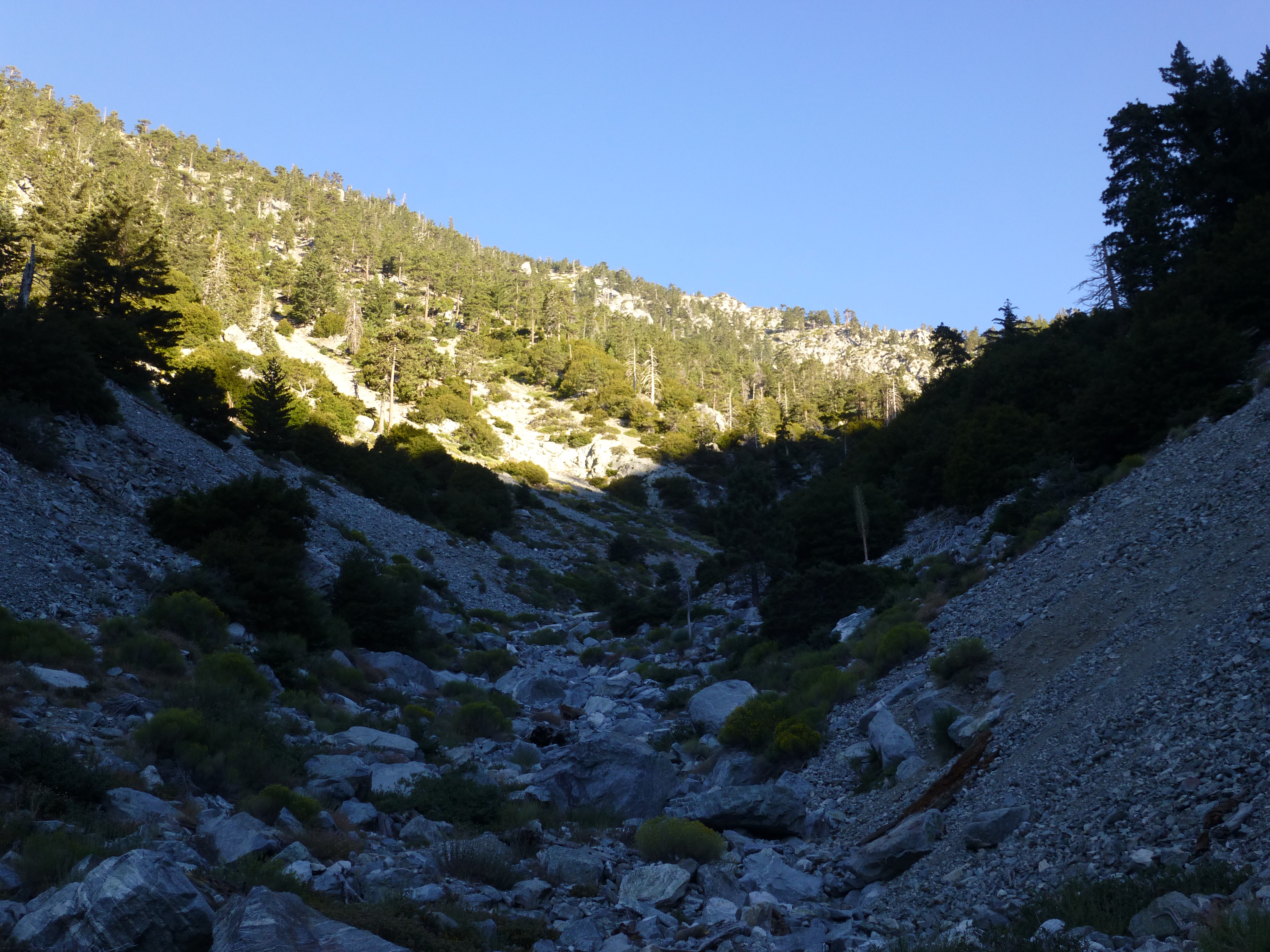
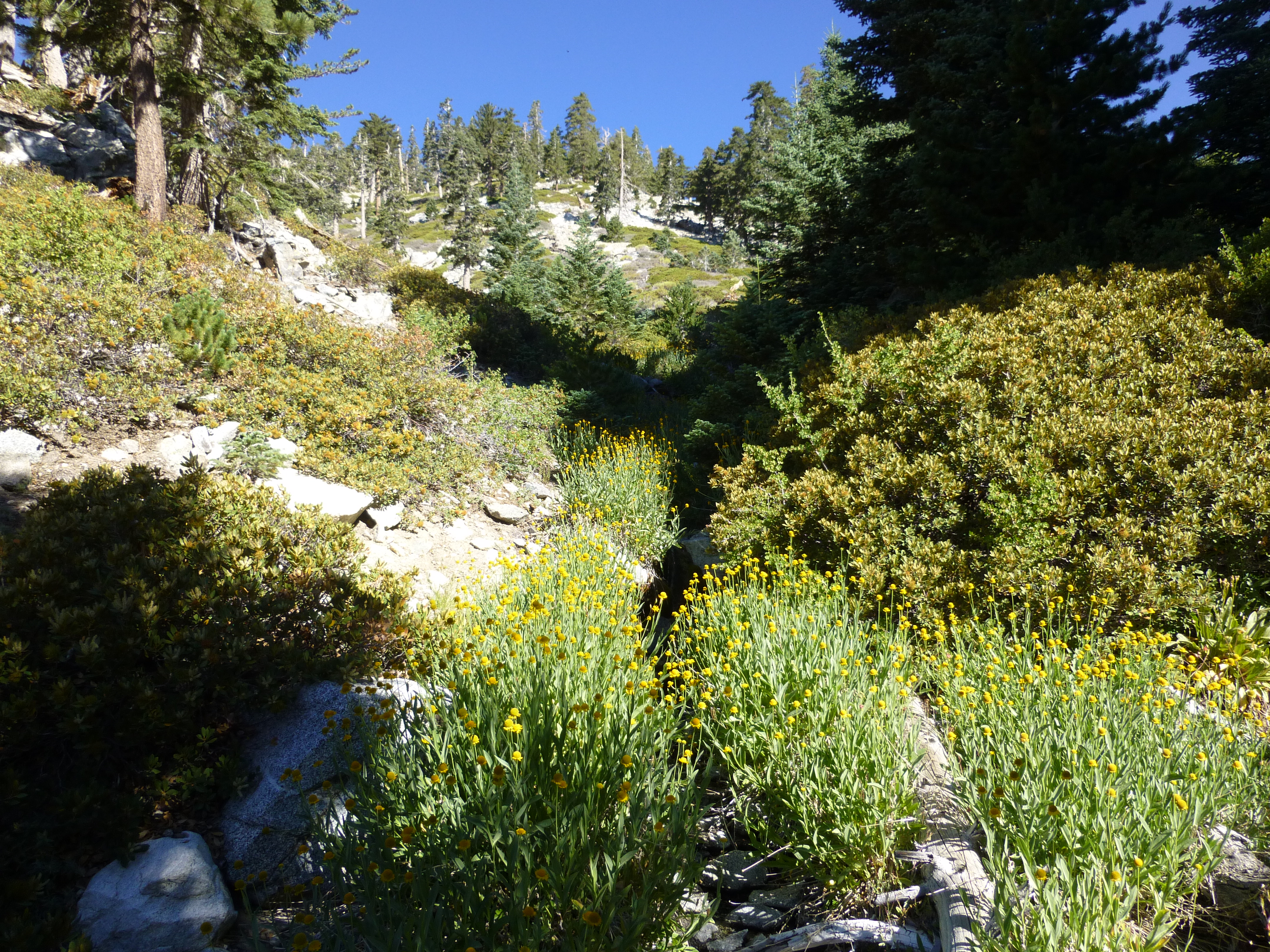
Good Canyon started off with no stream. It was a mixture of small and medium boulders and some generally avoidable brush. On each side were high ridges with lots of trees. Due to our early start, the canyon was still shaded and cool.

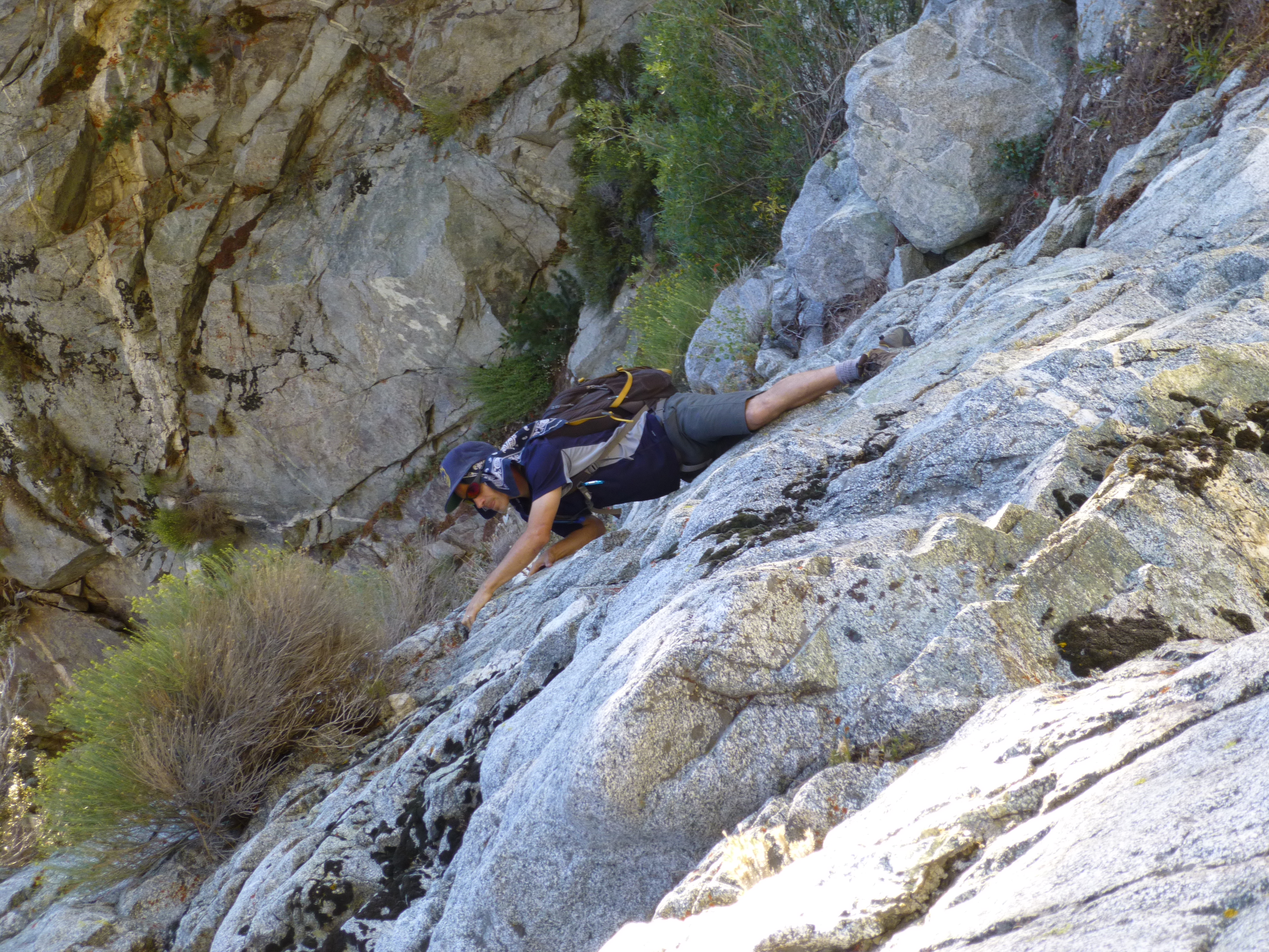
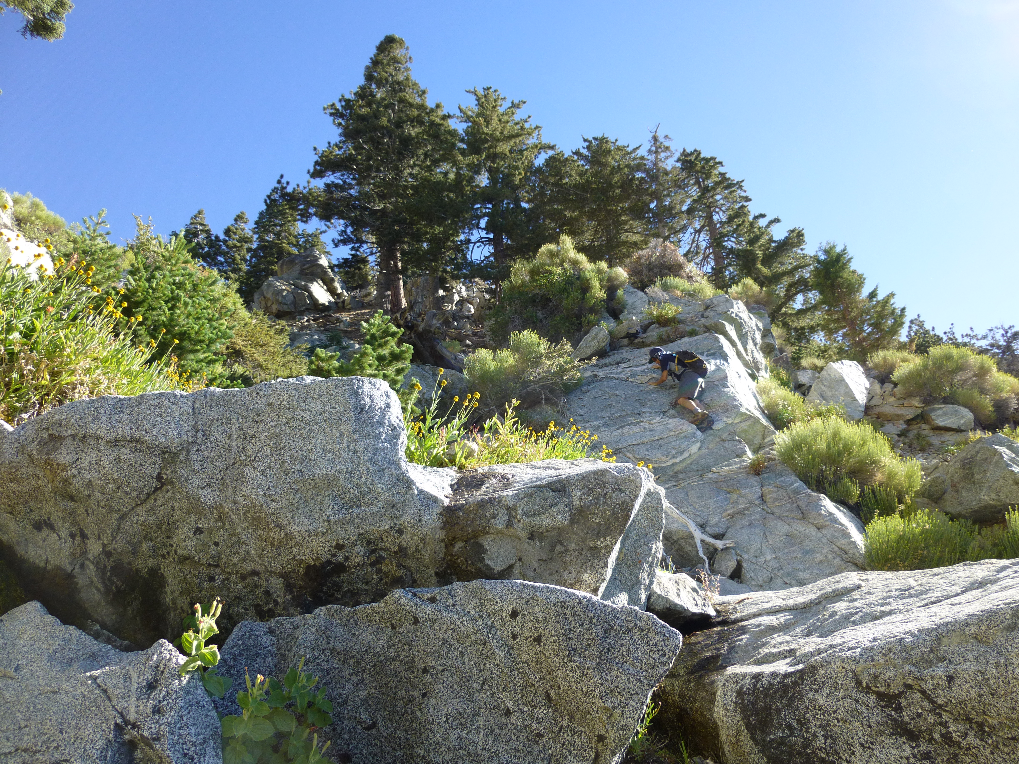
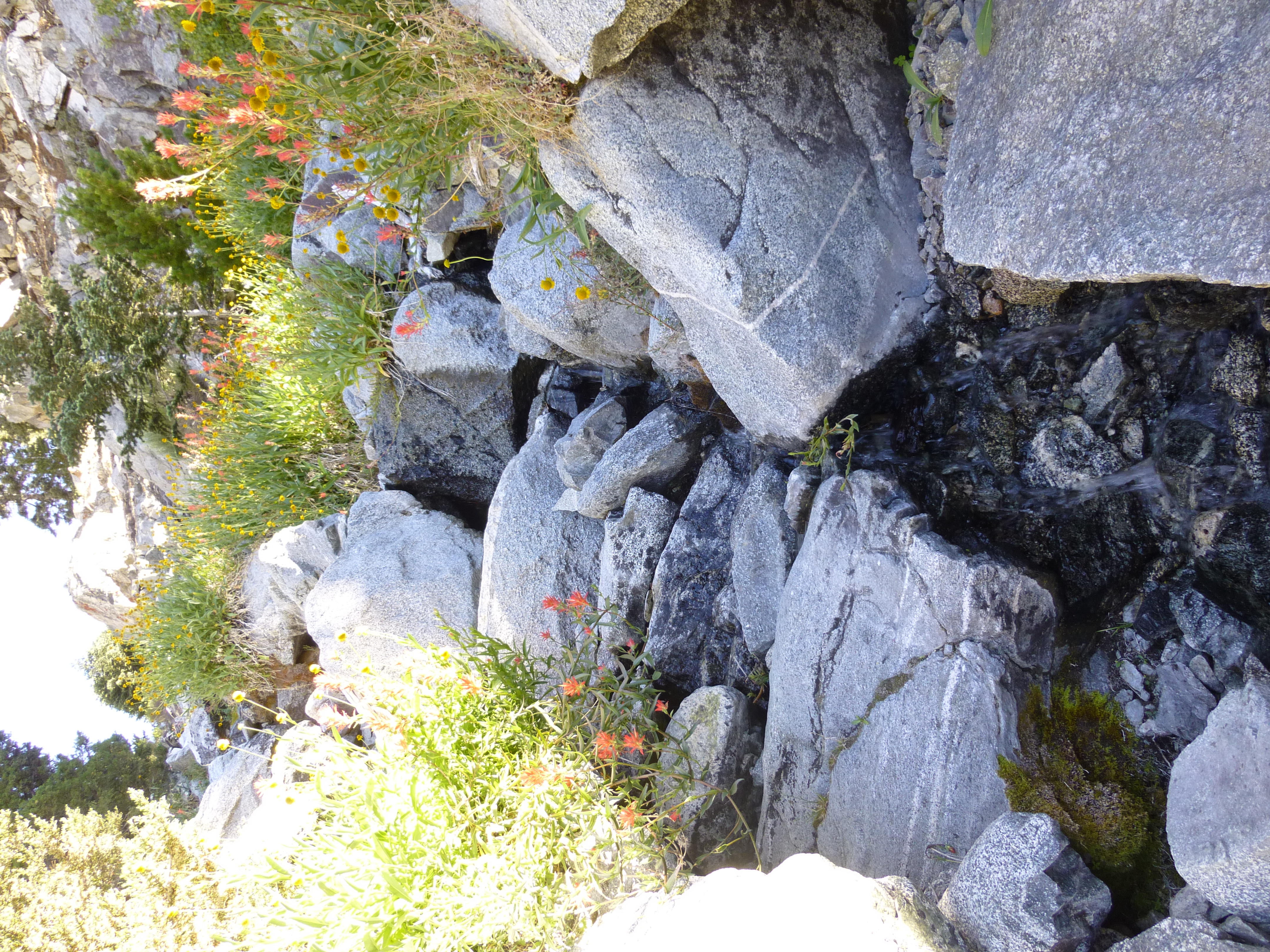
Around 7,000' we encountered flowing water with small pools and slightly denser vegetation, including a few moss-covered rocks. The climbing increased in difficulty, achieving at least Class 3. More difficult alternative climbs were available, and we took advantage of some of them. Trees encroached upon the creekbed as we moved higher and higher upstream.

At 8,200' there was a split where we kept to the right. And at 8,320' the west fork of Good came in from the left, pouring its contents into the main branch. The area here was fairly lush with a modest stream cascading over boulders and through flower-covered banks.

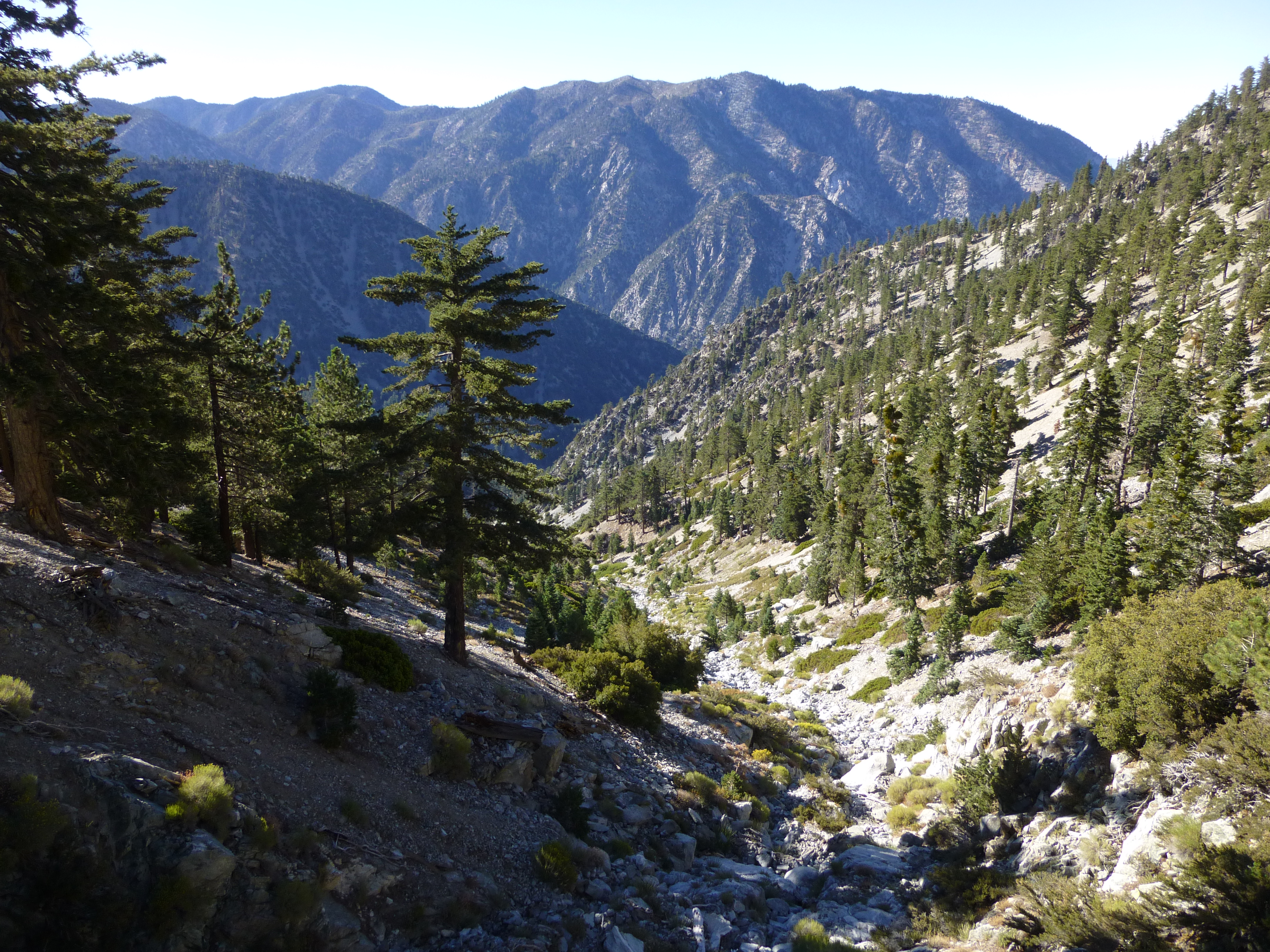
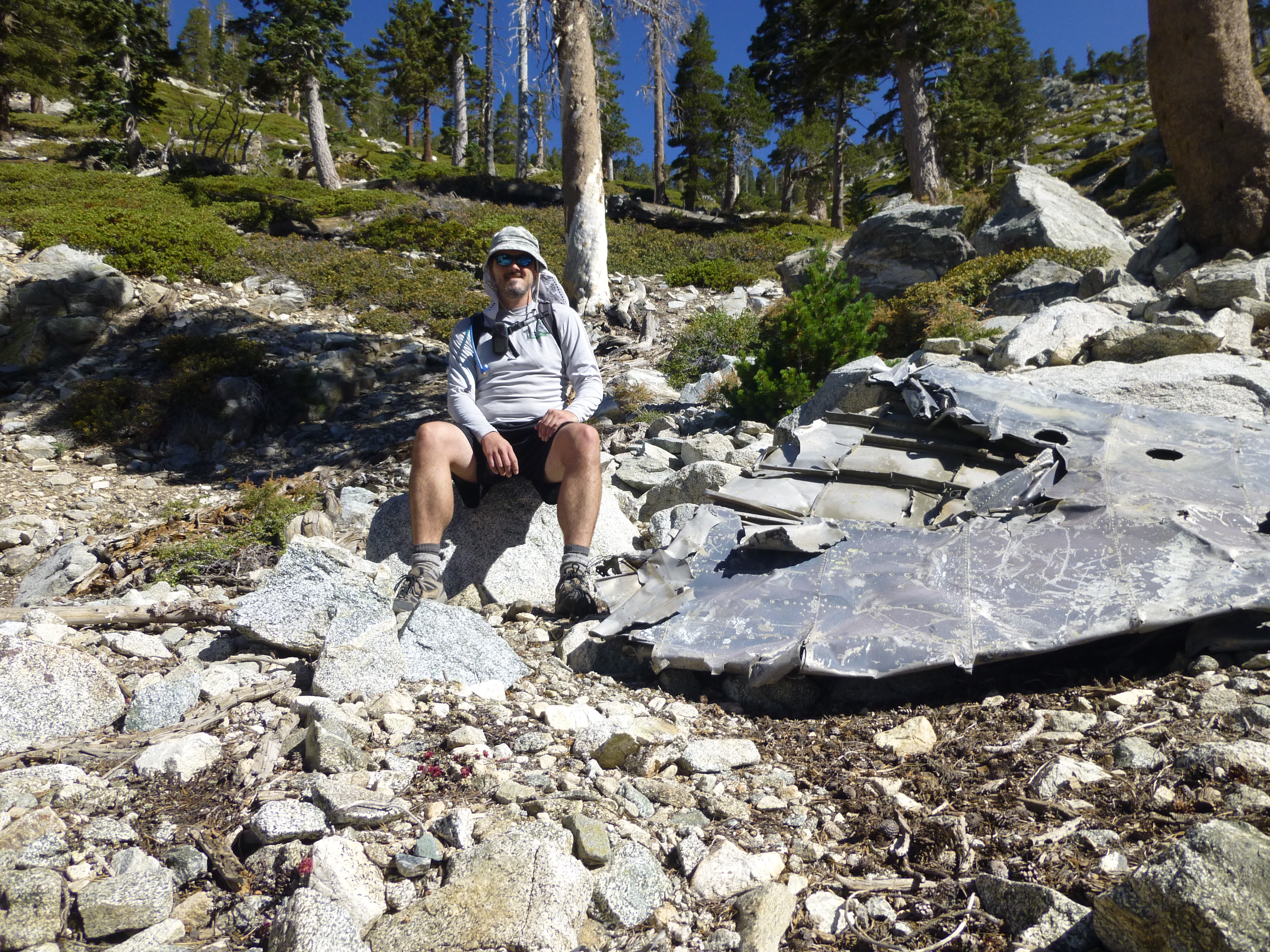
Above the water, around 8,920', we examined the plane wreckage and watched folks up on the Ski Hut Trail to the right. Then at 9,500' we started up the west slope and departed the canyon, on our way to West Baldy.

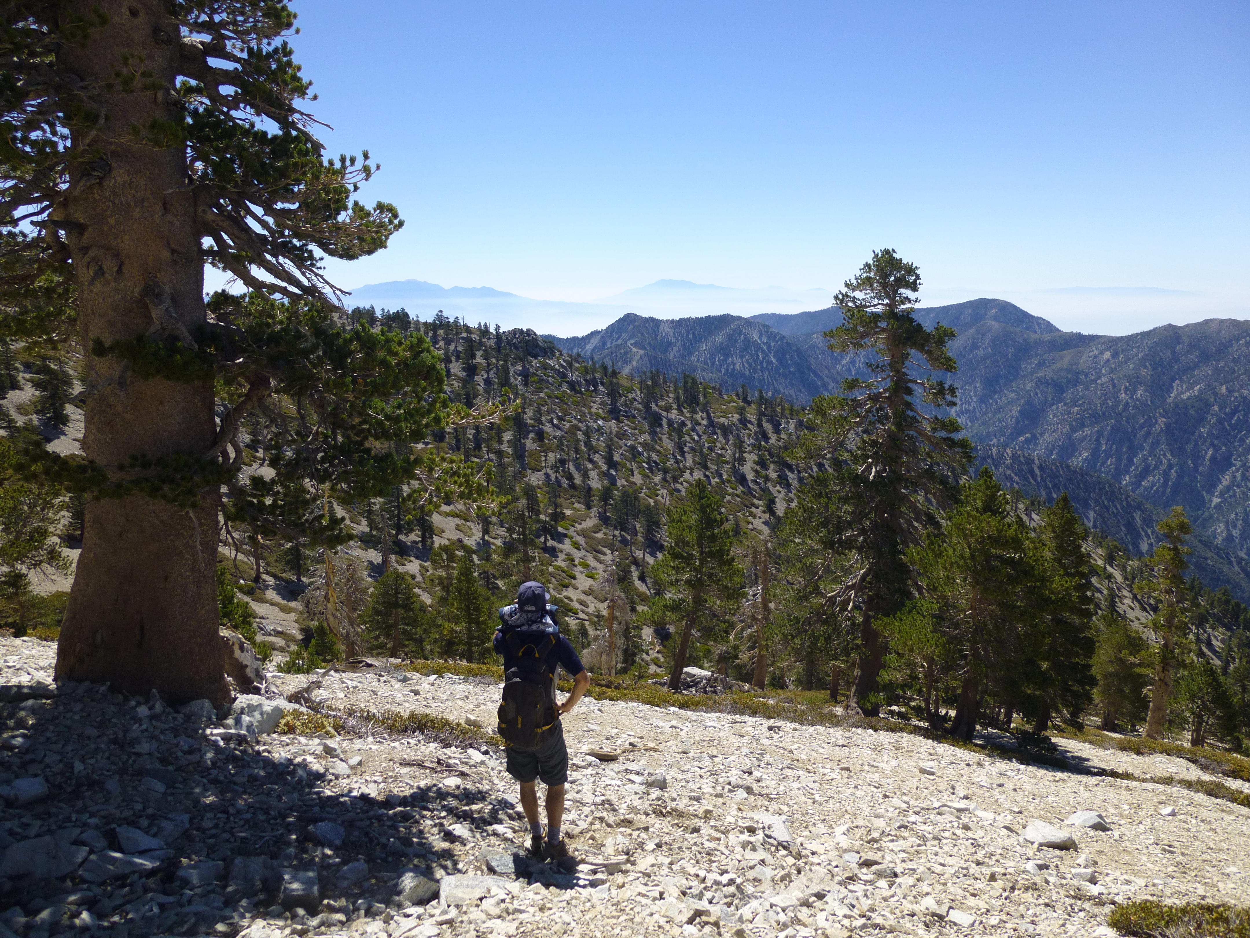
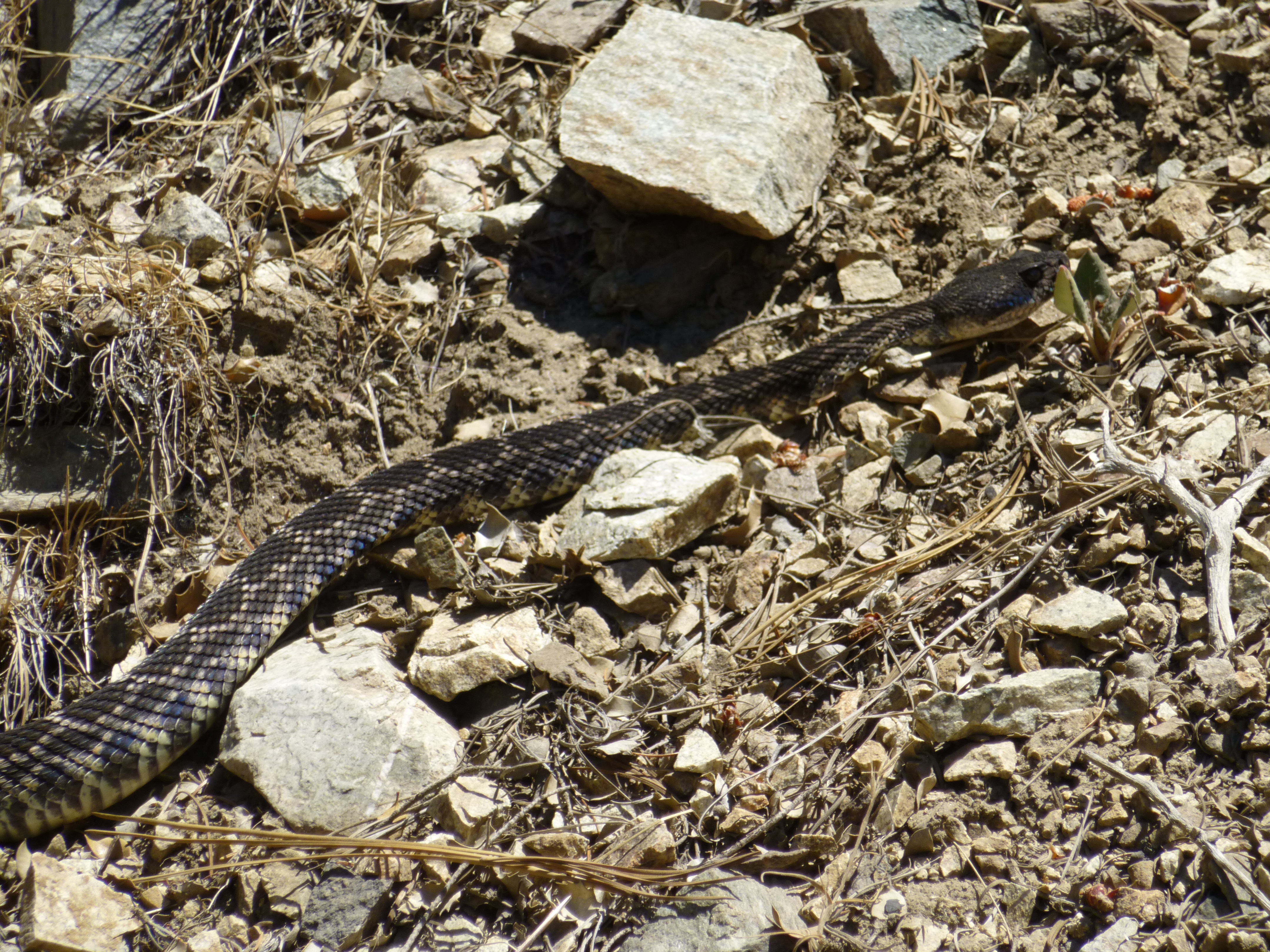
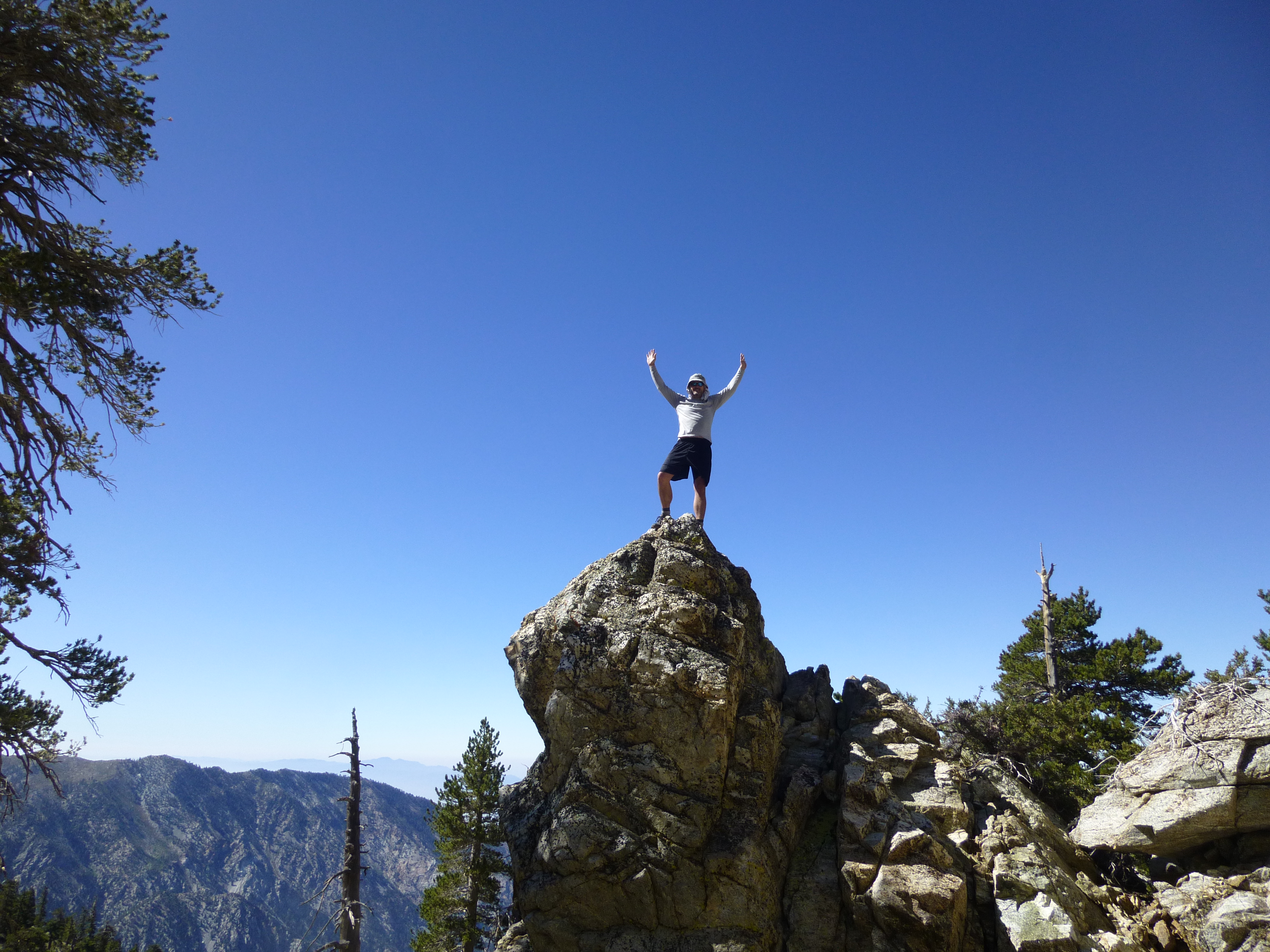
After West Baldy, we bagged Old Baldy. I had summited Baldy for the first time in August 2011 and was celebrating the two-year anniversary. It was such a clear day that we could easily see Gorgonio and Jacinto in the distance. We then returned via the Ski Hut, along the way spotting a rattlesnake crossing the trail, seemingly unconcerned by our presence.

Descending to the confluence with Good Canyon
Image

Image

Early Morning in Good Canyon
Image

Image

Image

Image

Image

Image

Image

Image

Airplane wreckage
Image

Image

Exiting Good Canyon
Image

Image

Image
User avatar
mcphersonm80
Posts: 243
Joined: Mon Aug 23, 2010 11:46 am

Post by mcphersonm80 »

Awesome report. I've been eyeballing Good Canyon for a long time, still haven't gotten around to heading up there yet. You just vaulted it back up to the top of my list. Thanks! :)
User avatar
Taco
Snownado survivor
Posts: 6010
Joined: Thu Sep 27, 2007 4:35 pm

Post by Taco »

Very goode of you guys. :)

Now you guys gotta do Bad Canyon.
User avatar
cougarmagic
Posts: 1409
Joined: Wed May 07, 2008 5:21 pm

Post by cougarmagic »

Anyone we know?

08/18/2013 14:45 ANF-3969 Missing Hikers Search & Rescue Good cyn. near Mtn. Baldy area .


http://www.wildcad.net/WCCA-ANF.htm
User avatar
mcphersonm80
Posts: 243
Joined: Mon Aug 23, 2010 11:46 am

Post by mcphersonm80 »

cougarmagic wrote: Anyone we know?
Hope not :shock:


Sean,

We're probably heading up Good Cyn tomorrow. We're thinking of parking down near Icehouse, crossing the road and heading upstream to the mouth of Good. From the top, we'll then probably descend the Ski Hut Trail to the bottom of SA Falls and stick to the streambed all the way back. Any idea if there are any obstacles other than brush (including 'private' property) in that area? Topo/satellite looks good, but sometimes there are surprises....

(rough drawing of route here: http://goo.gl/maps/DfGbL)
User avatar
Sean
Cucamonga
Posts: 3787
Joined: Wed Jul 27, 2011 12:32 pm

Post by Sean »

As far as I know, it's legal to hike along the entire length of San Antonio Canyon. I can't speak from experience, but I doubt there's anything worse than class 2 bouldering and medium bushwhacking between the falls and Icehouse. I've done a couple sections here and there, and it wasn't bad. Watch out for critters, thistles, and slippery rocks among the undergrowth in the tree section. The water resurfaces near the Big Butch Wash confluence and makes the area below that thick with vegetation and deadfall.

Let us know how it goes.
User avatar
David R
OG of the SG
Posts: 535
Joined: Sun Jun 12, 2011 10:28 pm

Post by David R »

Did the hike today with a little bit variation. Here are some thoughts on the hike:

1. I left my car right at the dip after you get up the switchbacks from the IHC junction and just before the road splits. There is a gate there and to the right there is a slippery entrance into the wash. This wash quickly gets lush with trees and had more water in it then San Antonio Canyon. It was the nicest spot on the hike. It also is only a couple hundred feet from the entrance to Goode Canyon downstream.

2. The canyon is south facing and has minimal growth in it making for a boulder hop with not much to look at.

3. After clambering over some easy rock outcroppings that had minimal water and lots of yellowjackets you get to a small steep junction to the right. It is the first real junction that you hit. The main wash continus a bit further in a straight-leftward direction and then has the main split to the right that takes you near the plane wreck. If you go up this steep wash to the right it will take you just above the spot where the ski hut trail hits the ridge. I used this route as Goode canyon wasn't too enjoyable. I woud probably prefer this canyon in the winter as a snow climb.
Post Reply