

I wasn't quite sure what to expect on this hike, as most reports I've read indicate that it's not overly difficult but it is listed as one of the "toughest dayhikes of the SGs" over at summitpost.
It's tough, that much is sure, mostly because it's an inverted hike where you wear yourself out climbing down to the peak, only to then turn around and climb 2000' back up. The key to this one is to get an early start and bring plenty of water, as the climb back up from Ross can be a pain in the heat of the day. The views you get on every stretch of this hike make it well worth it though.
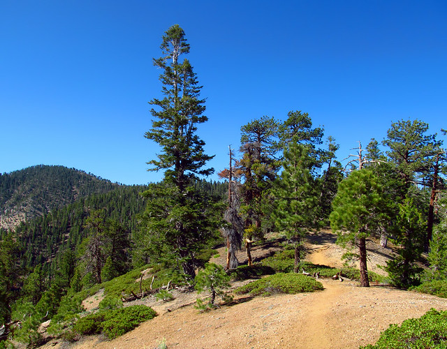
Easy Hiking along the Dawson Saddle Trail
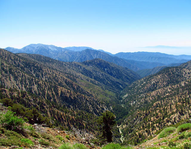
Peering Down into the Iron Fork from the PCT
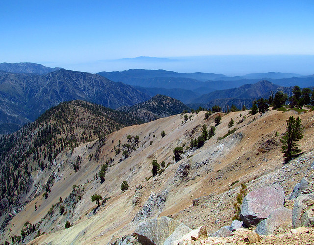
One of the best views in the world
Just follow the ridge, very little (if any) routefinding required
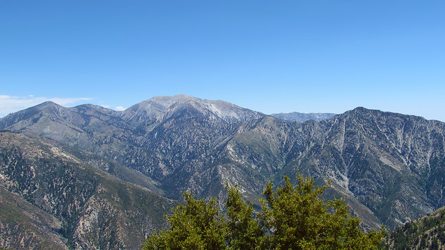
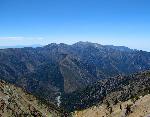
Pine, Dawson, Baldy, San Antonio Ridge, and Iron
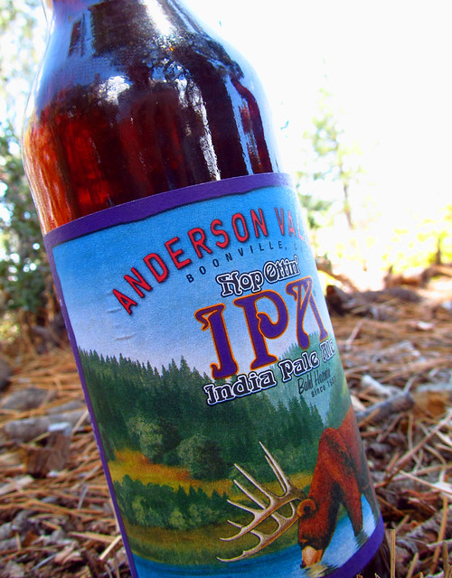
Refreshments
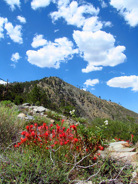
Clouds adding to the scenery
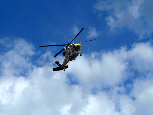
A search and rescue copter was sitting on the summit for about 15 minutes when we climbed back up. I believe there was some sort of rescue/assistance required down at Dawson Saddle and this was the back-up chopper (based on LAFD twitter)
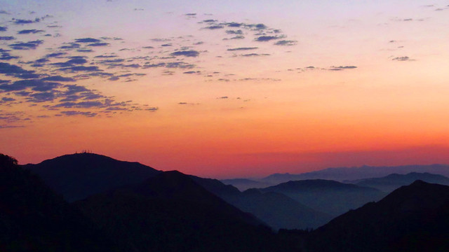
Goodnight
More photos here:
http://www.flickr.com/photos/wattifoto/ ... 009207989/
Cheers!
8)

