

Being that I've never been into doing things one by one
Ty said that he would be willing to give it a shot so yesterday at 5 AM we left Orange County and started up the Mnt Waterman Trail at 7 AM sharp.
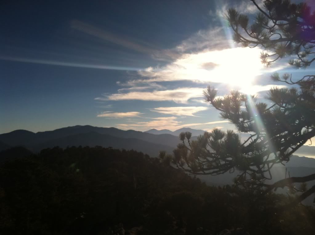
While everyone in the LA basin was getting sprinkles and rain we were rewarded with sunny skies with only a hint of clouds here and there and the front part of the range held all those clouds over the metropolis while we spent the morning ane early afternoon enjoying this "three peak" challenge.
One hour into the hike we approached the summit of Mount Waterman
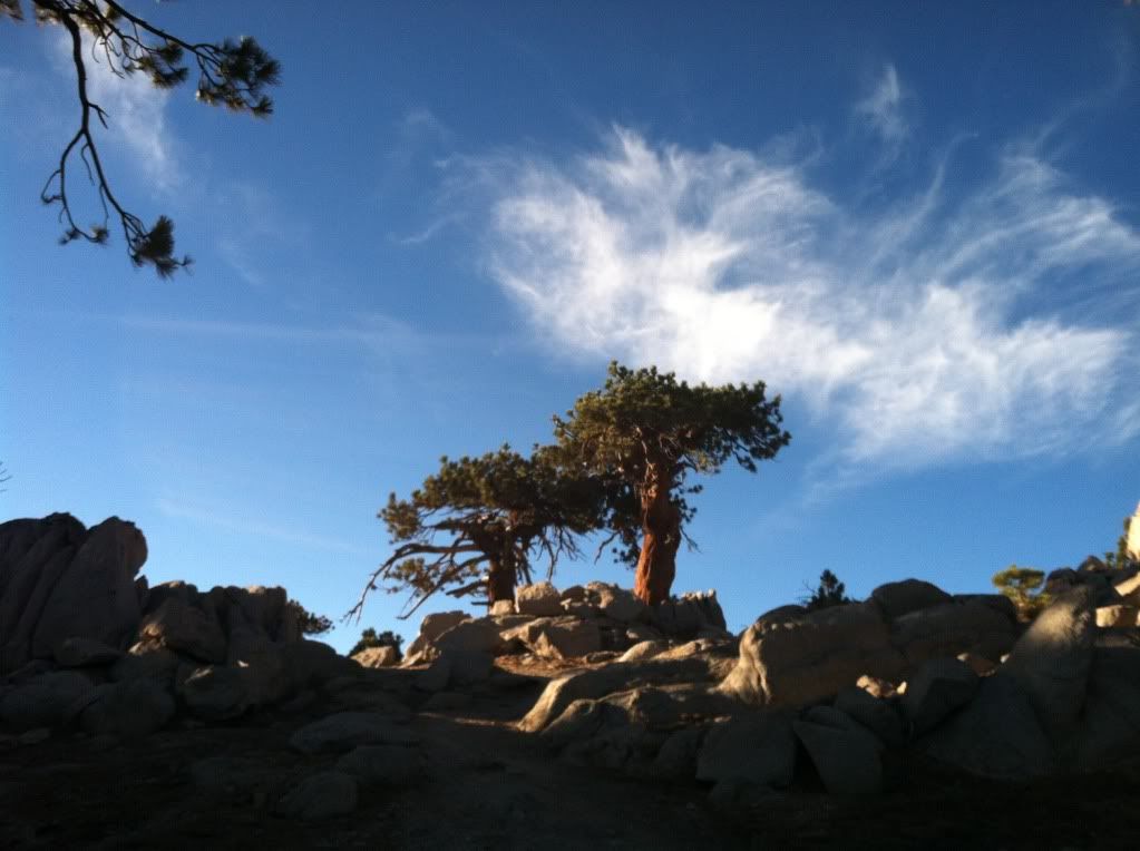
That "hint" of clouds I mentioned
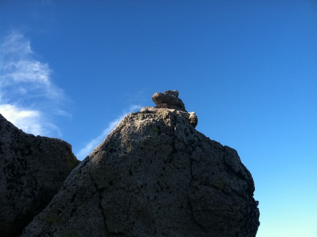
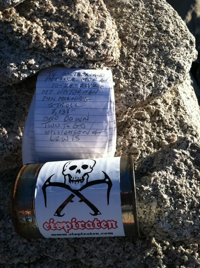
There's two set's of rocks where one might find the summit register but this one has this "cairn" to mark the correct spot it's further west than the first one
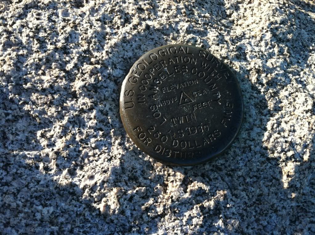
The only "Geodot" that we found on any of the summits all day, this says "Twin" on it but it is the correct spot for Waterman (don't know what that is about)
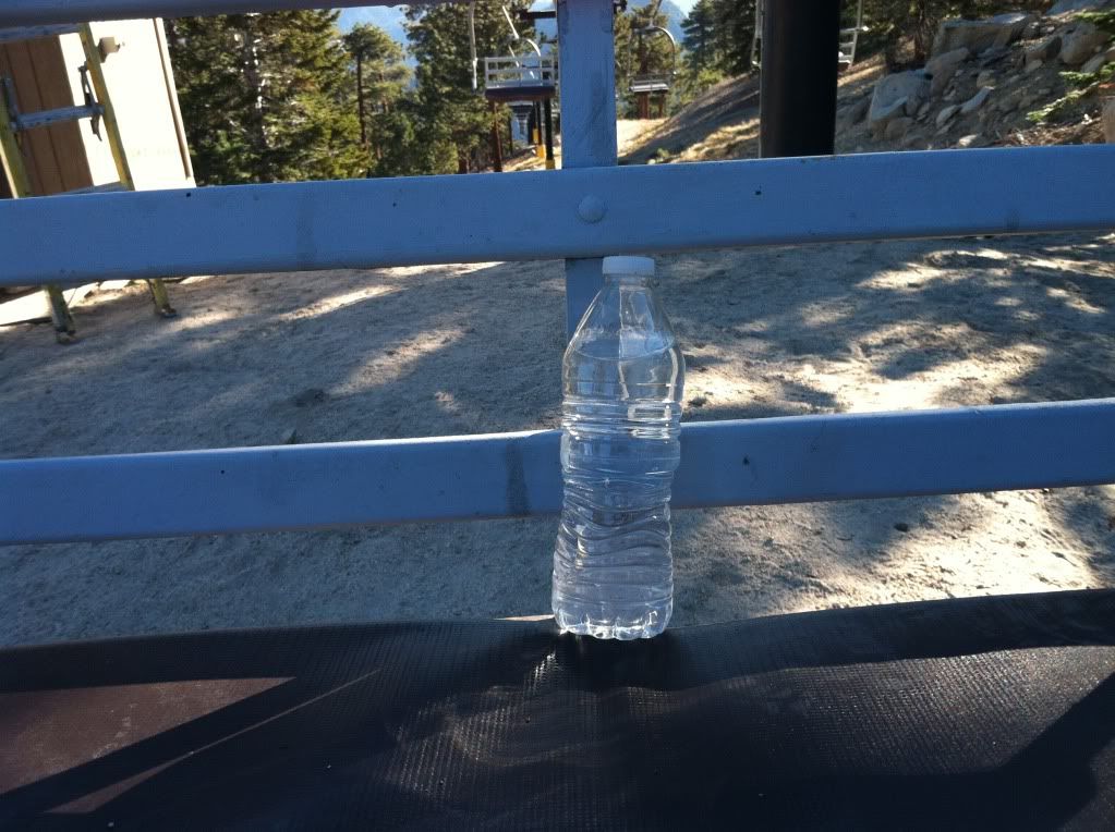
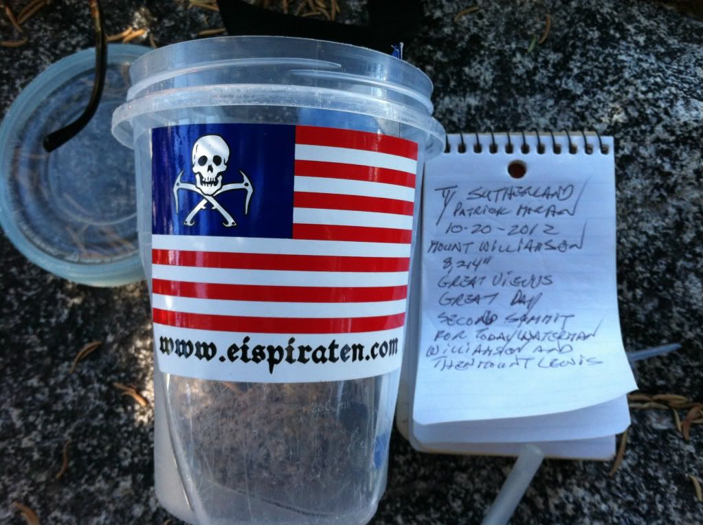
It was time to put some fresh stickers out as it's almost winter and the "Ice Pirates" will be out in force again
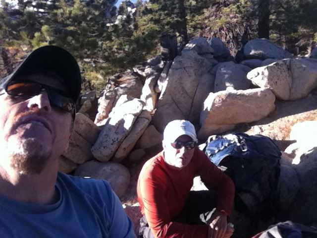
Two of the Pirates before leaving the summit of Waterman
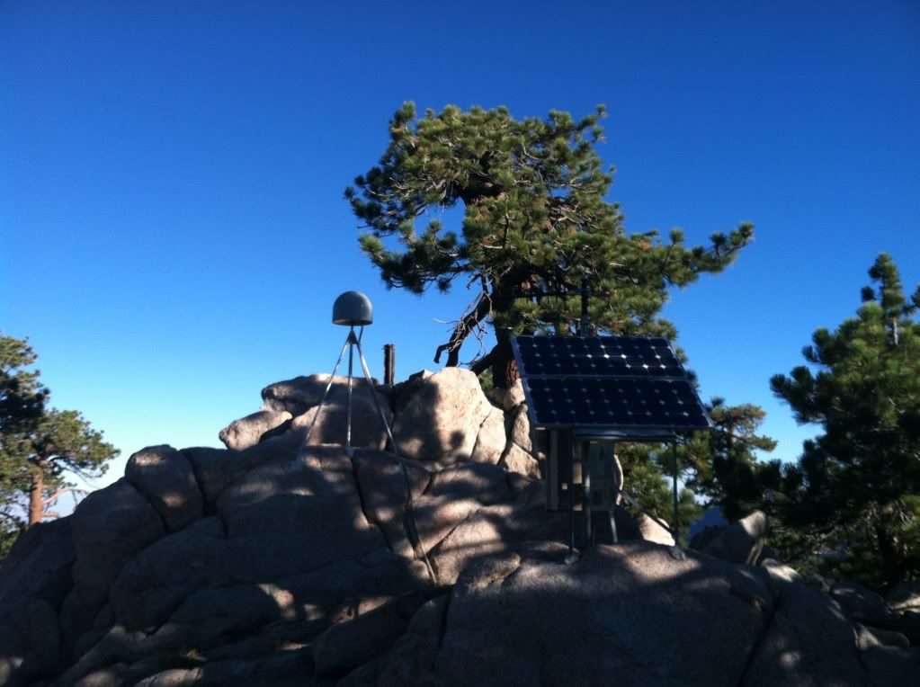
As we left the main peak we crossed over the gully that separates the actual summit from the top of the "Ski-lift's" and a sub-summit called 7,980 that has about 5 buildings and some "earthquake" monitoring equipment pictured here
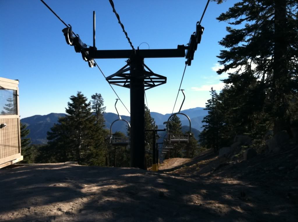
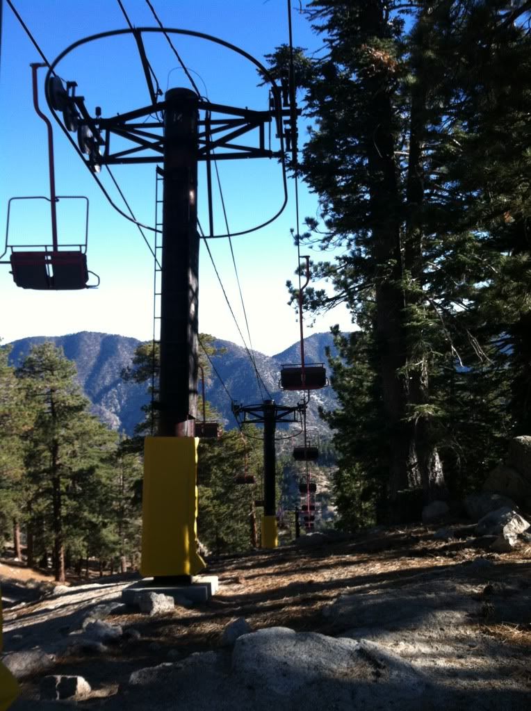
This is the highest lift on the mountain it's lift/chair number "3"
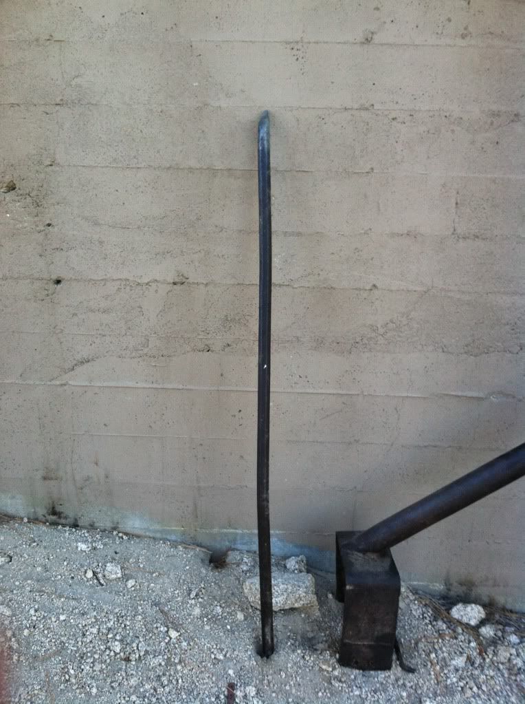
Since I'm the one that always finds things when I'm in the wilderness (12 beer bottles last weekend on top of Baldy Bowl) it was appropriate that I found this in the rocks below lift #3 after all it is Mount "Water MAN"
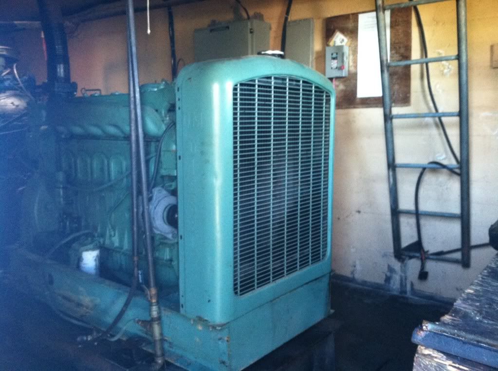
This is the big fella that pulls the cables that drags everyone up those lifts/chairs the door to the control building was open, looked like someone was doing maintenance getting ready for our big white snowy winter (I wish)
Anyone and everyone that remembers someone that is no longer a "welcome member" of this hiking discussion board will get a kick out of this picture - only he would think it's OK to take an important tool like this off the moutain
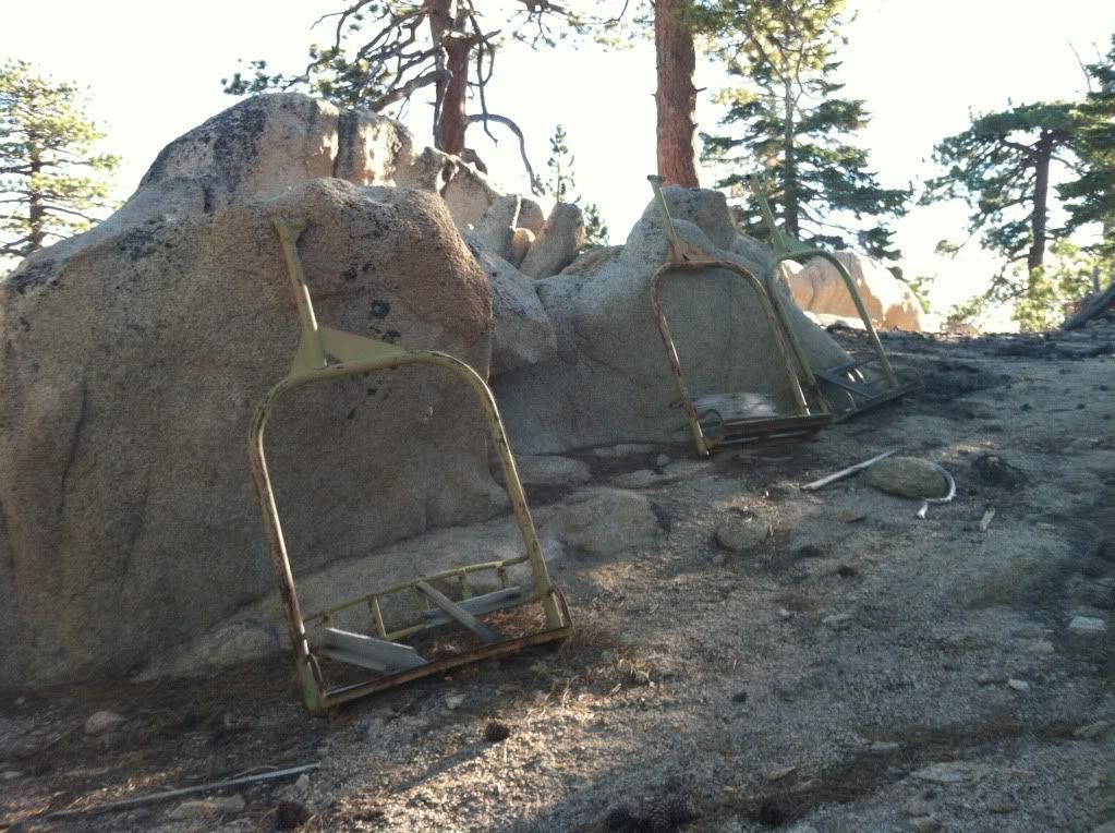
Chairs of "yesteryear"
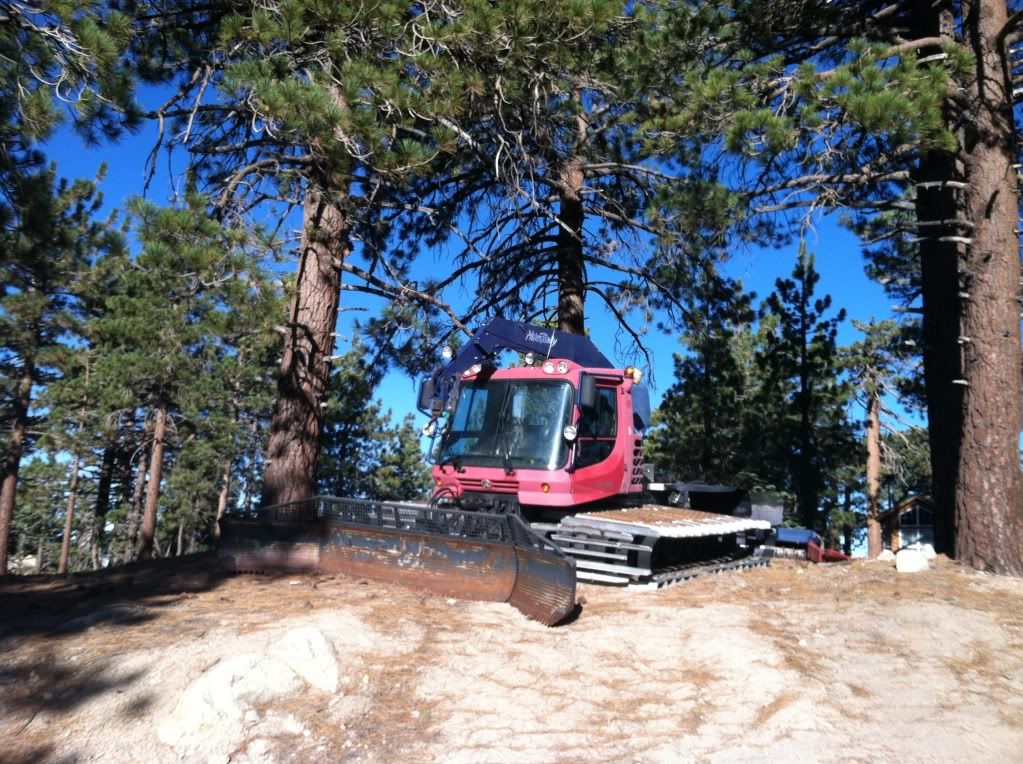
We did not spot any wildlife (other than squirrels), no bobcats, no cougars but we did see this "snow cat"
One of five buildings at the top of the ski lifts
I don't know about you but look at this picture carefully, then look at the next one

Would you trust a company that would leave this up? If they cannot fix this what are they doing on all the other maintenance around here? These signs were side-by-side
Chair Number Two
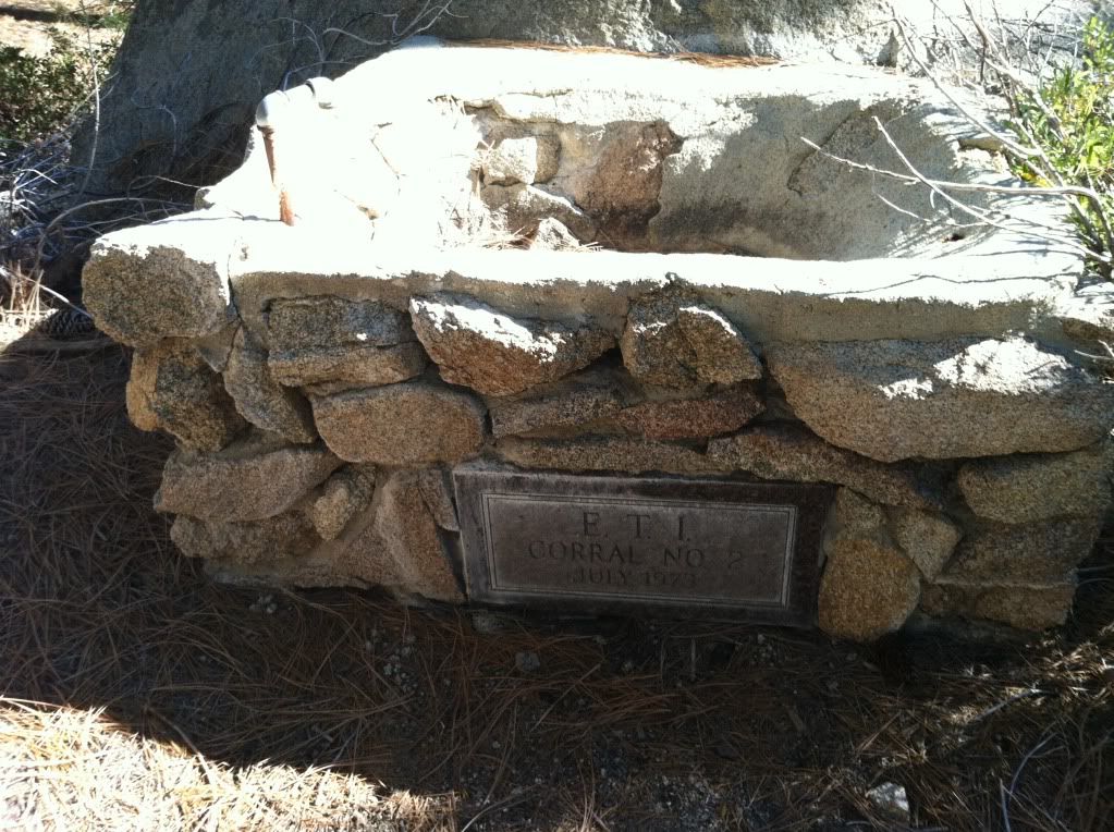
Water trough down by the highway/trailhead
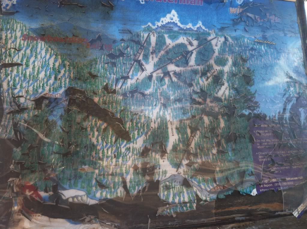
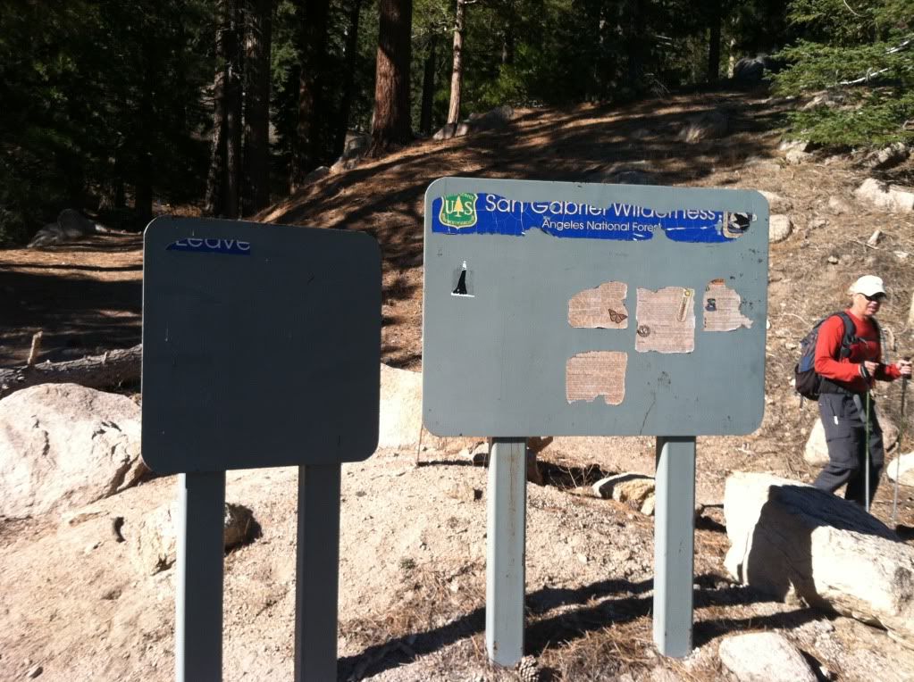
This was the extremely informative "Trail Head" sign, told us everything we needed to know about this area
On to Mount Williamson
This is the start of the trail from the area "west of Islip" you can also start at Islip but this has more shade (I like)
First good view of Williamson Rock where all the climbers go "NOT"
Our second destination for the day Bill's Son otherwise known as Williamson
Dem Pirates be added it again
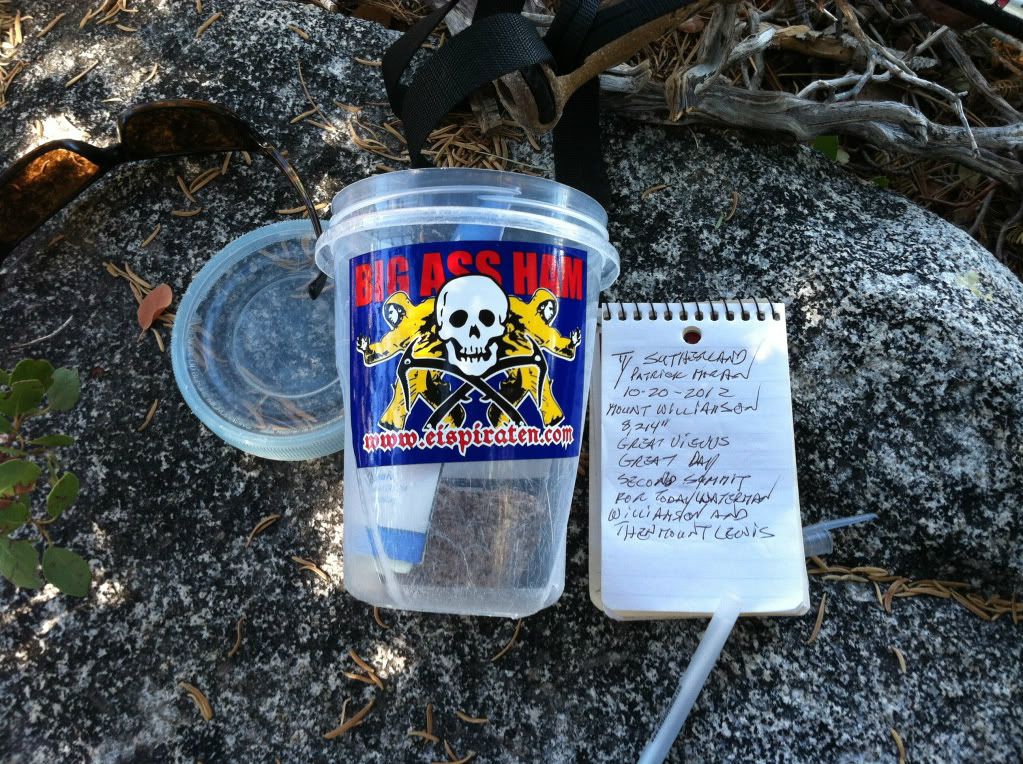
One more for good measure
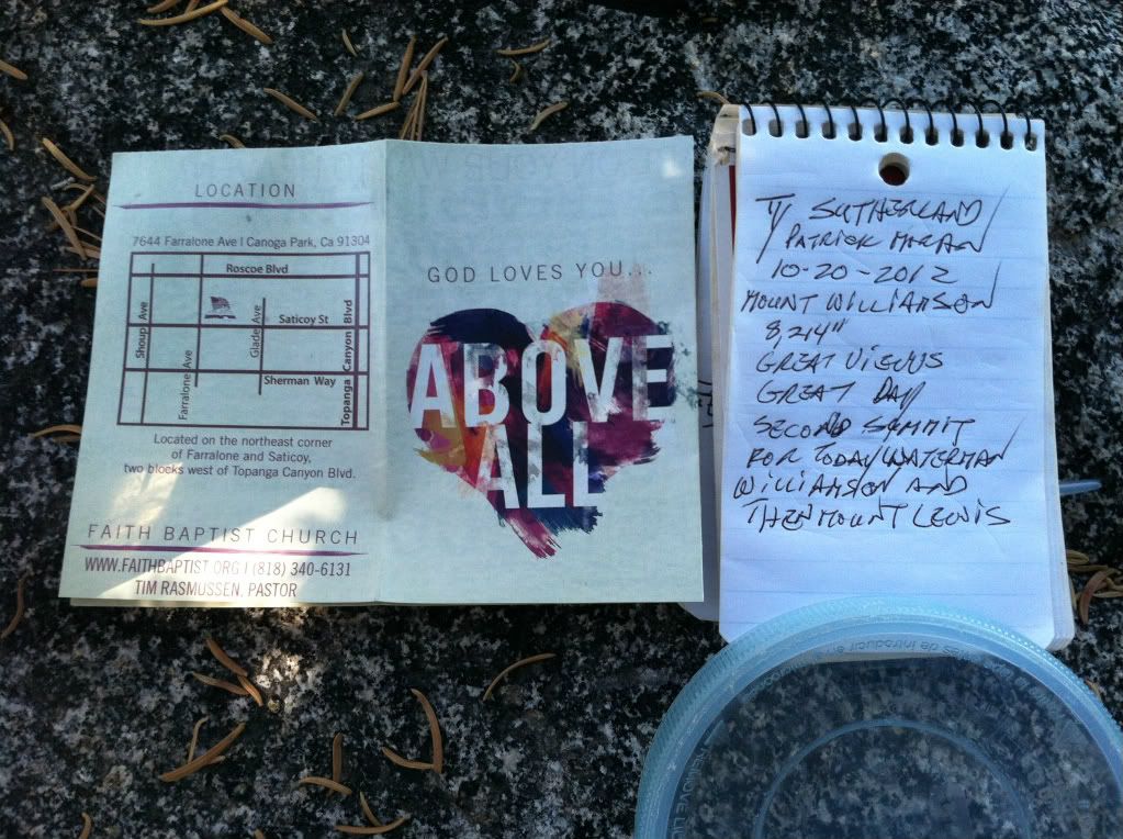
There was this pamphlet in the summit register with a note that said "Taco" please come visit us and we will be mailing it to you directly
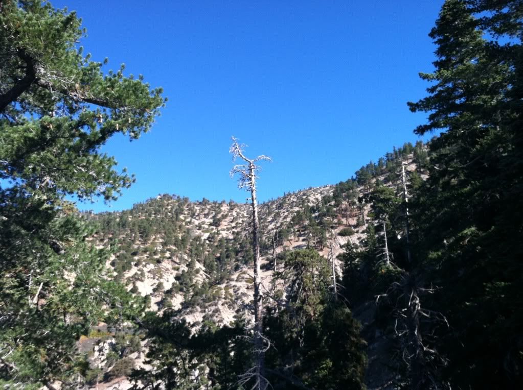
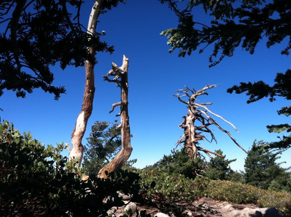
Dead trees that sit on top of Williamson
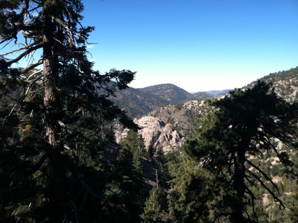
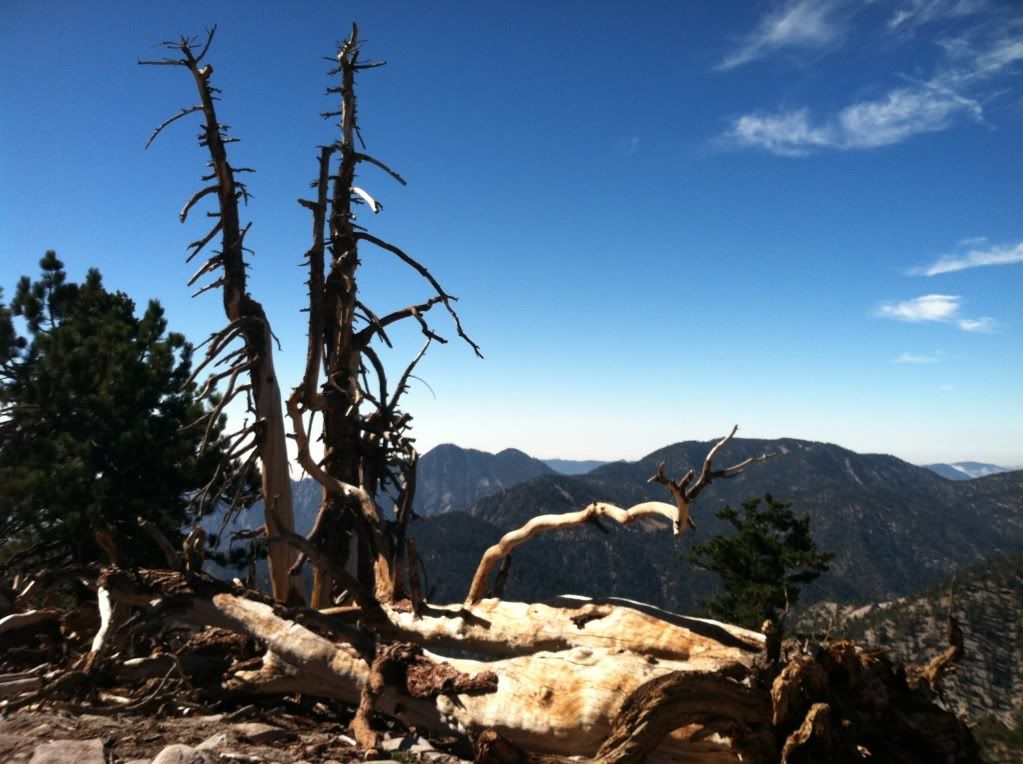
The view from the south ridge looking back over at Mount Waterman with Twin Peaks in the left part of the picture
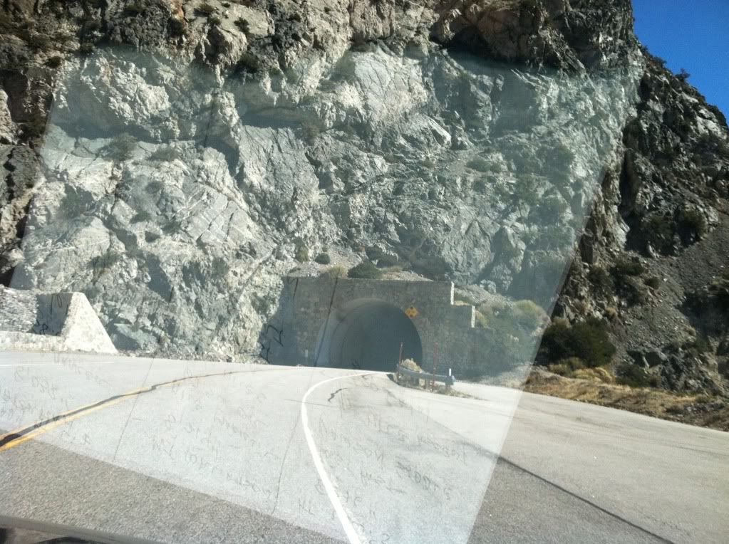
On our way from Williamson to Lewis heading through the two tunnels on Angeles Crest Highway
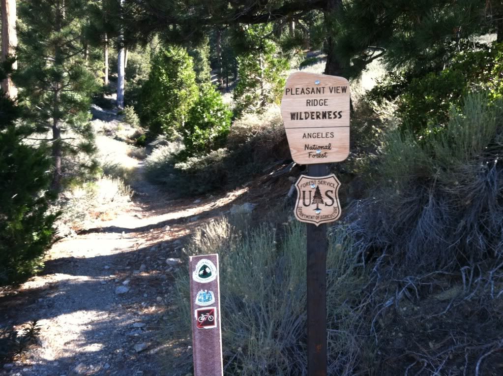
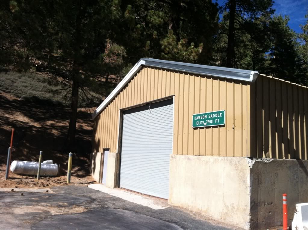
Dawson Saddle and start of the last hike
This picture and angle does not give it justice but the start of this trail is one of the steepest in all the San Gabriel's, someone did not like themselves so they created this as punishment
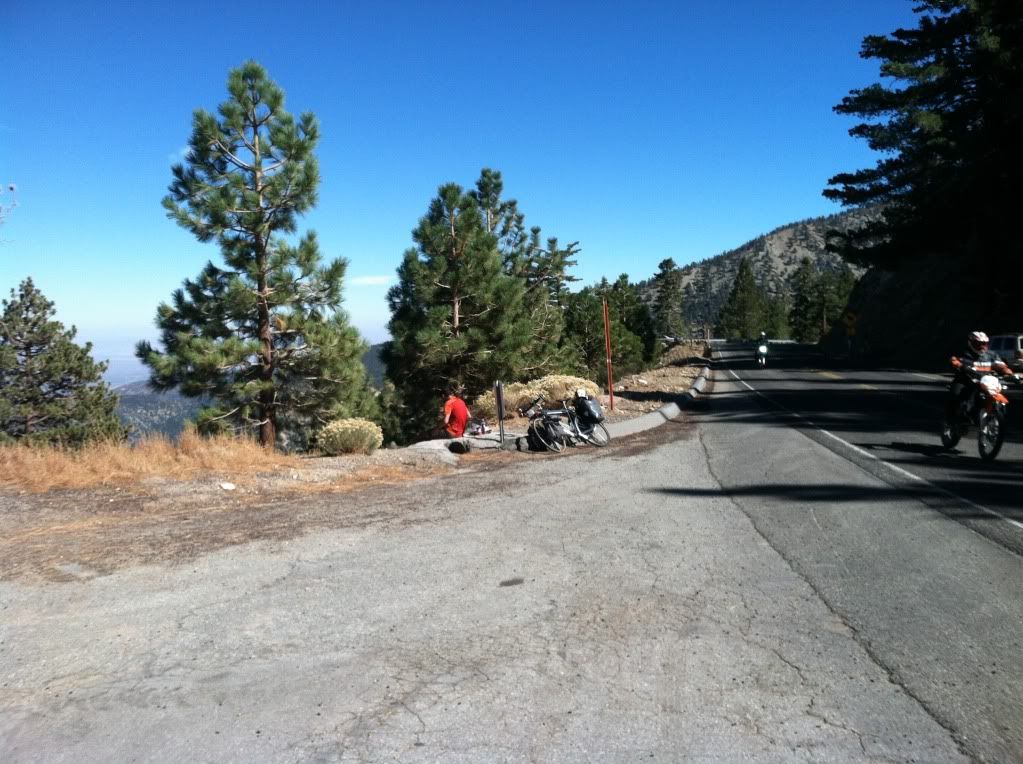
As we were about to start up the mountain we spoke to this man who was enjoying his lunch, he rode his bike from "British Columbia" down paralleling the PCT (as close as he could) and was headed to the Mexican Boarder before heading home - what a great trip
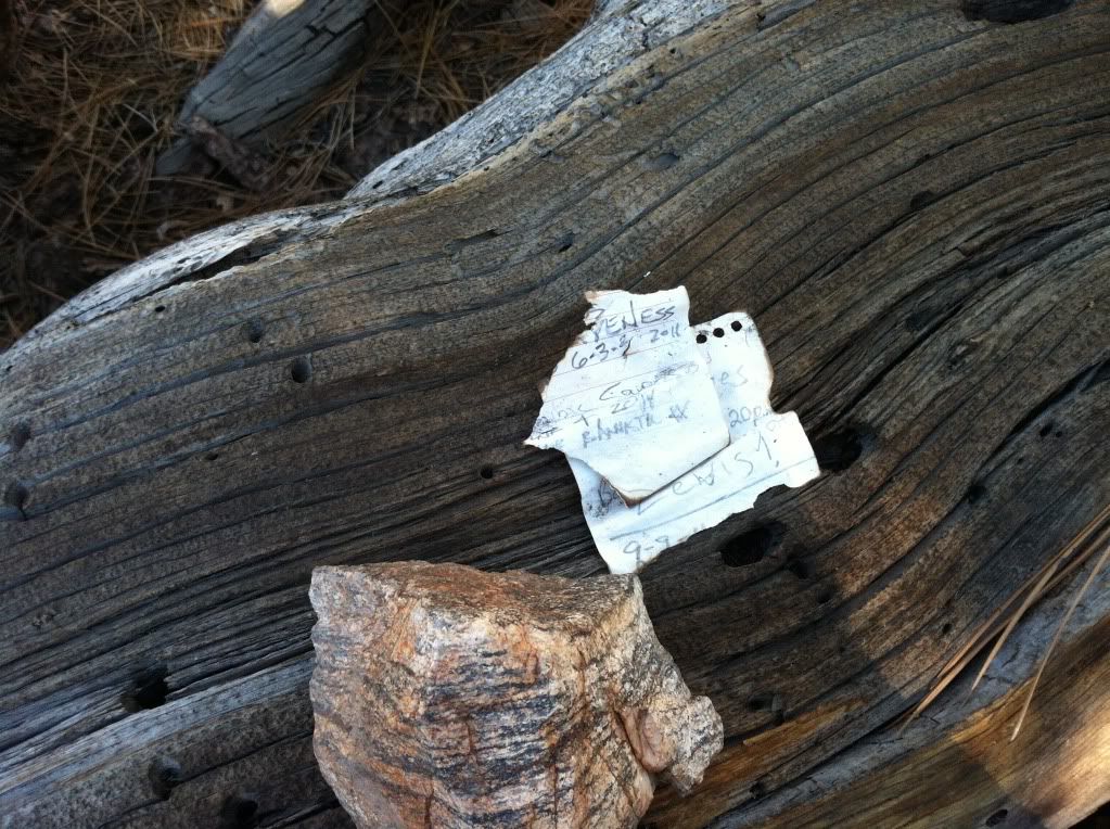
This is the "summit register" on the summit of Mount Lewis it has limit space for new names so don't everyone rush to get up there and fill it in
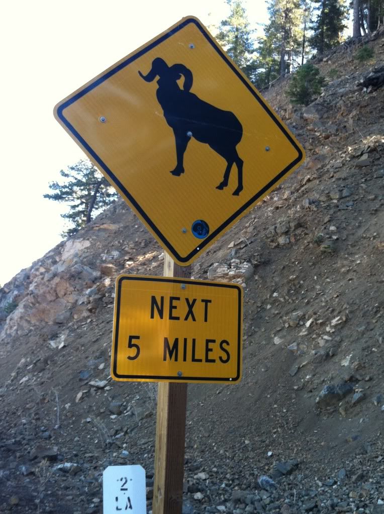
Most intersting picture for the day, here's a question for you hikers
Does this picture mean
"A" that you will see Big Horn Sheep for the next five miles
"B" that Big Horn Sheep are "model's" that are posing only in this area
"C" they only cross the Angeles Crest Highway at this area only
Fun Facts and Notes:
Mount Waterman
3 miles each way if you take the main trail and not the roads or shortcuts
1,247 or 1,300 feet elevation gain depending on where you get numbers
Geomarker "Yes"
Register Can "Yes"
Mount Williamson
5 miles round trip
1,494 to 1,600 elevation gain (there are more up's and down's on this climb than you will find on Mount Waterman) depending on what source you use for your information
Geomarker "No"
Register Can "Yes"
Mount Lewis
1 mile round trip (straight up not kidding)
493 feet of elevation gain
Geomarker "No" could not find
Register Can "No" could not find (summitpost.com shows picture of one but I'll be a monkey's uncle if I could find anything.
Totals
Mileage 12 miles (Give or take a few shortcuts)
Elevation Gain/Descent 3,315 roughly
Time Start at 7 AM done and leaving Dawson Saddle by 2ish
The rest of the pictures can be found HERE
New Challenge for Hikin_Jim
Hit me with what you know or find?
Thanks for your help Jim


