20121020 - Trèstober - Mount Waterman, Williamson & Lew

TRs for the San Gabriel Mountains.
Post Reply
User avatar
lilbitmo
Posts: 1092
Joined: Tue Mar 04, 2008 9:44 pm

Post by lilbitmo »

Hikin_Jim posted a list of peaks over 8,000 feet a while back (so I blame him) in a trip report so as I glanced down the list I realized that I had done 20 of the 23 peaks/peaklets in the list (without meaning to it just happened). So after seeing that list I put it in the back of my mind that maybe soon I'd get out when the temps cooled down and attempt to knock off those last three summits to complete that list.

Being that I've never been into doing things one by one :shock: I put it to HJ that I might like to try to knock then out as a single day hike. Other than a good laugh he gave me a little Beta. I then asked everyone on the board if anyone wanted to join me - no one responded so I started looking for "victims" elsewhere :twisted:, recently one was spoted and persuaded into the ranks.

Ty said that he would be willing to give it a shot so yesterday at 5 AM we left Orange County and started up the Mnt Waterman Trail at 7 AM sharp.

While everyone in the LA basin was getting sprinkles and rain we were rewarded with sunny skies with only a hint of clouds here and there and the front part of the range held all those clouds over the metropolis while we spent the morning ane early afternoon enjoying this "three peak" challenge.

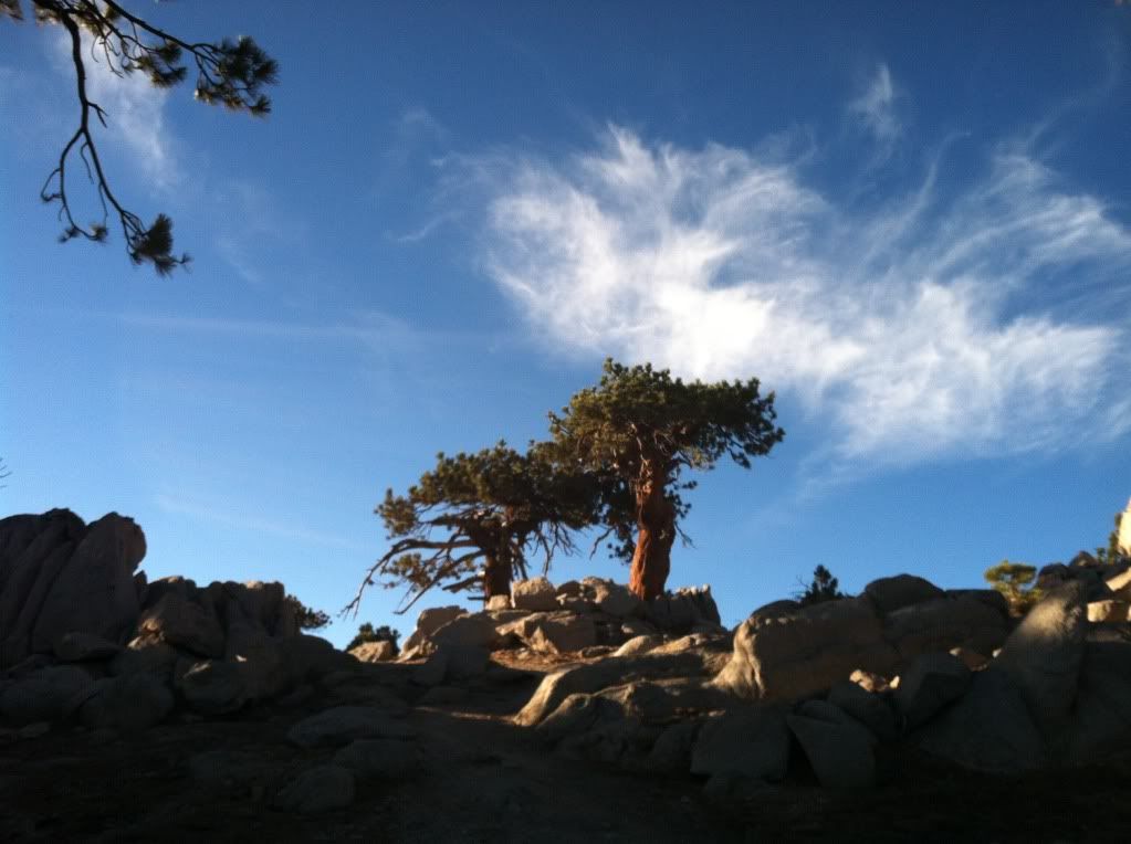
One hour into the hike we approached the summit of Mount Waterman
Image

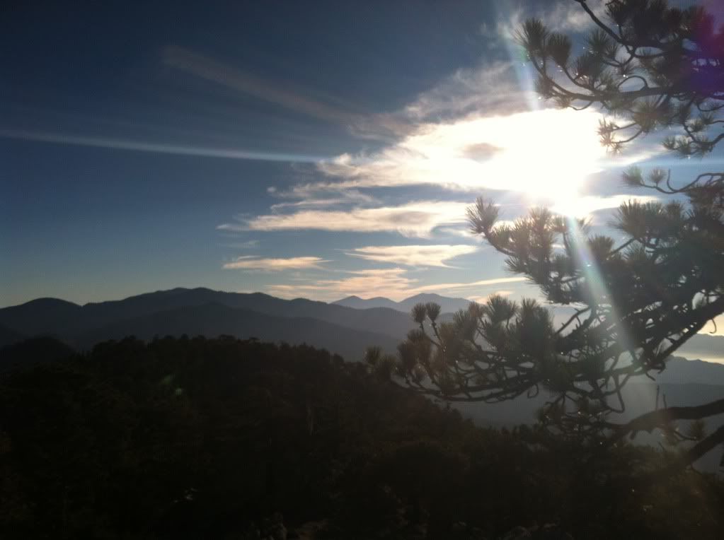
That "hint" of clouds I mentioned
Image

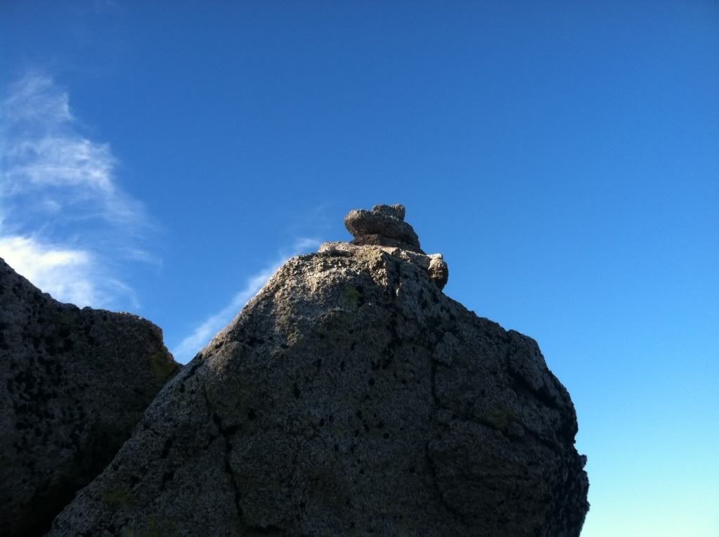
There's two set's of rocks where one might find the summit register but this one has this "cairn" to mark the correct spot it's further west than the first one
Image

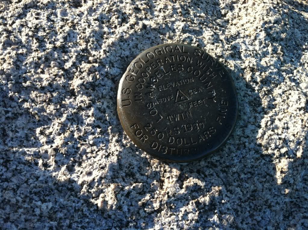
The only "Geodot" that we found on any of the summits all day, this says "Twin" on it but it is the correct spot for Waterman (don't know what that is about)
Image

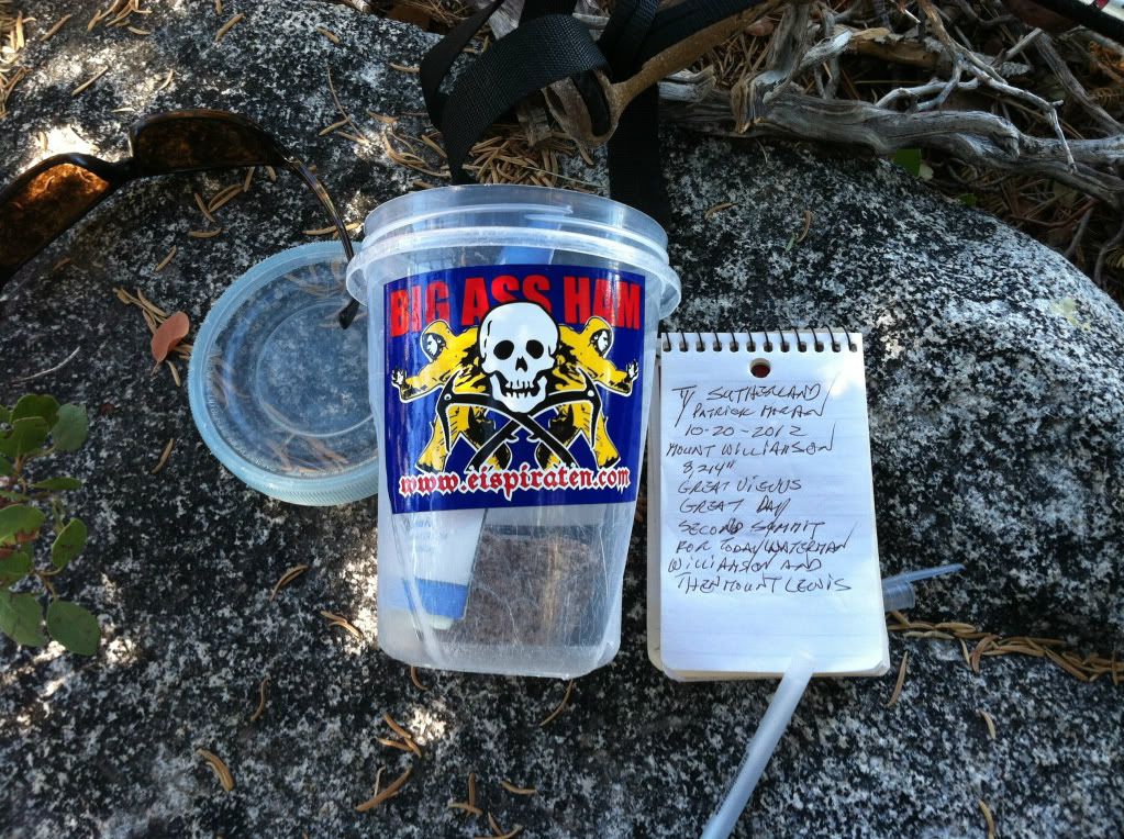
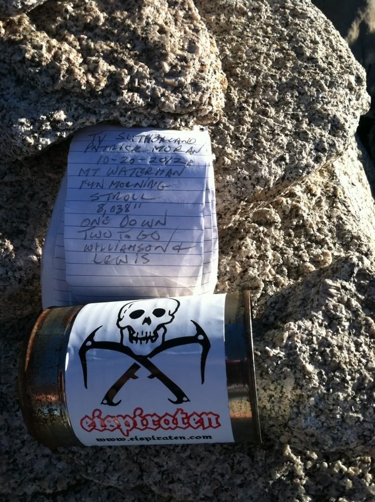
It was time to put some fresh stickers out as it's almost winter and the "Ice Pirates" will be out in force again :D
Image

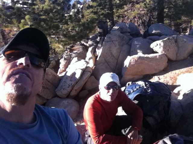
Two of the Pirates before leaving the summit of Waterman
Image

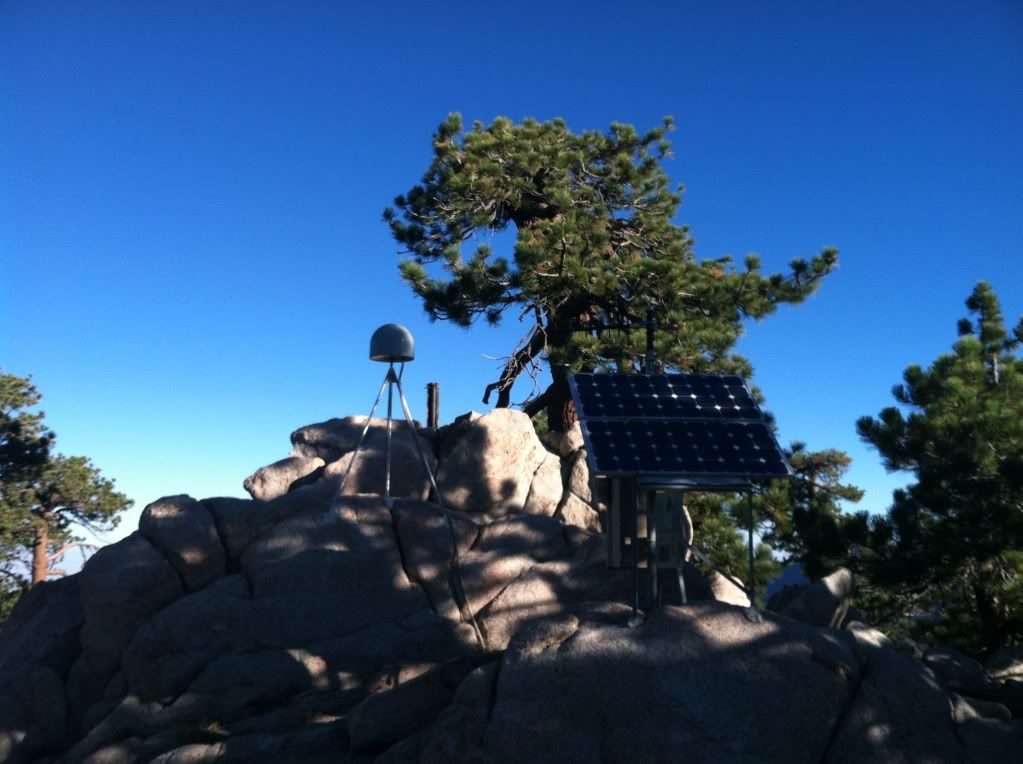
As we left the main peak we crossed over the gully that separates the actual summit from the top of the "Ski-lift's" and a sub-summit called 7,980 that has about 5 buildings and some "earthquake" monitoring equipment pictured here
Image

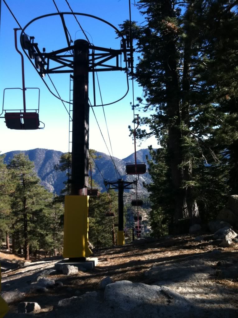
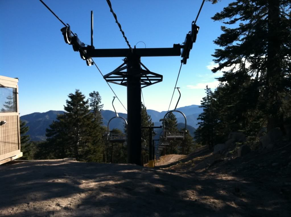
This is the highest lift on the mountain it's lift/chair number "3"
Image

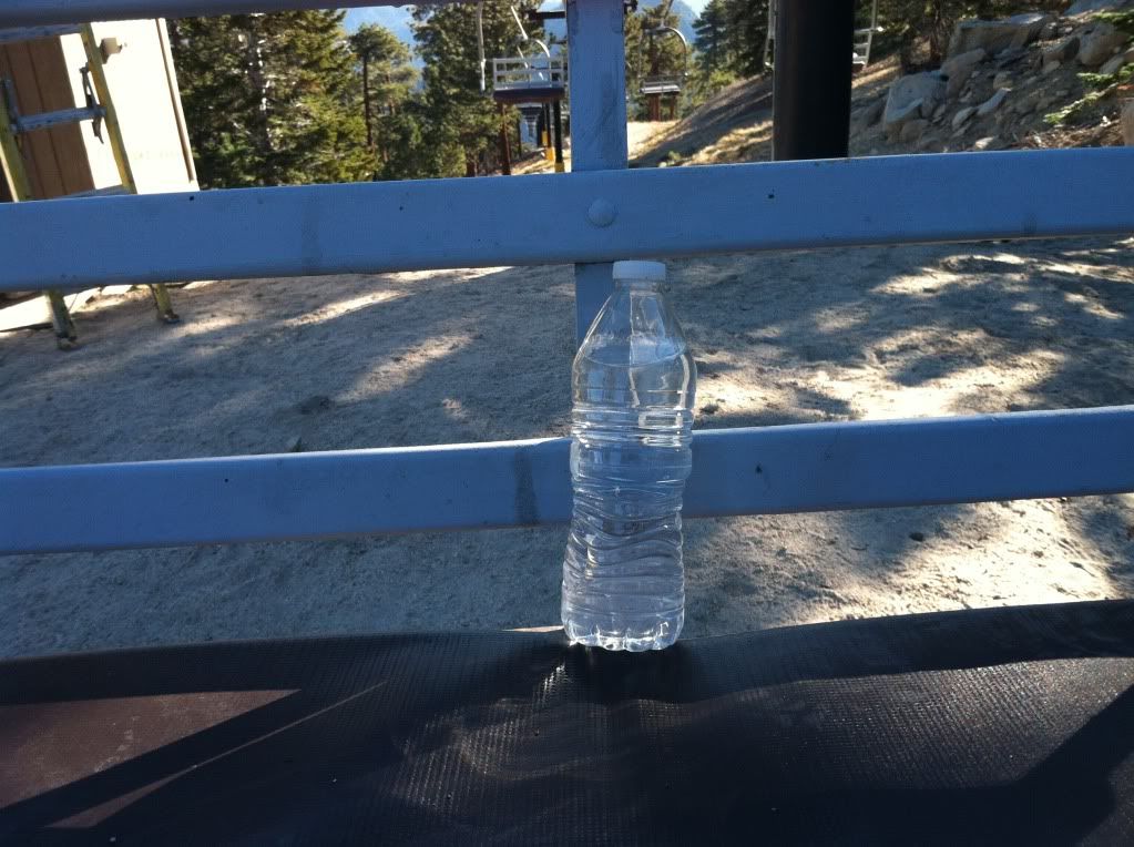
Since I'm the one that always finds things when I'm in the wilderness (12 beer bottles last weekend on top of Baldy Bowl) it was appropriate that I found this in the rocks below lift #3 after all it is Mount "Water MAN"
Image

This is the big fella that pulls the cables that drags everyone up those lifts/chairs the door to the control building was open, looked like someone was doing maintenance getting ready for our big white snowy winter (I wish)
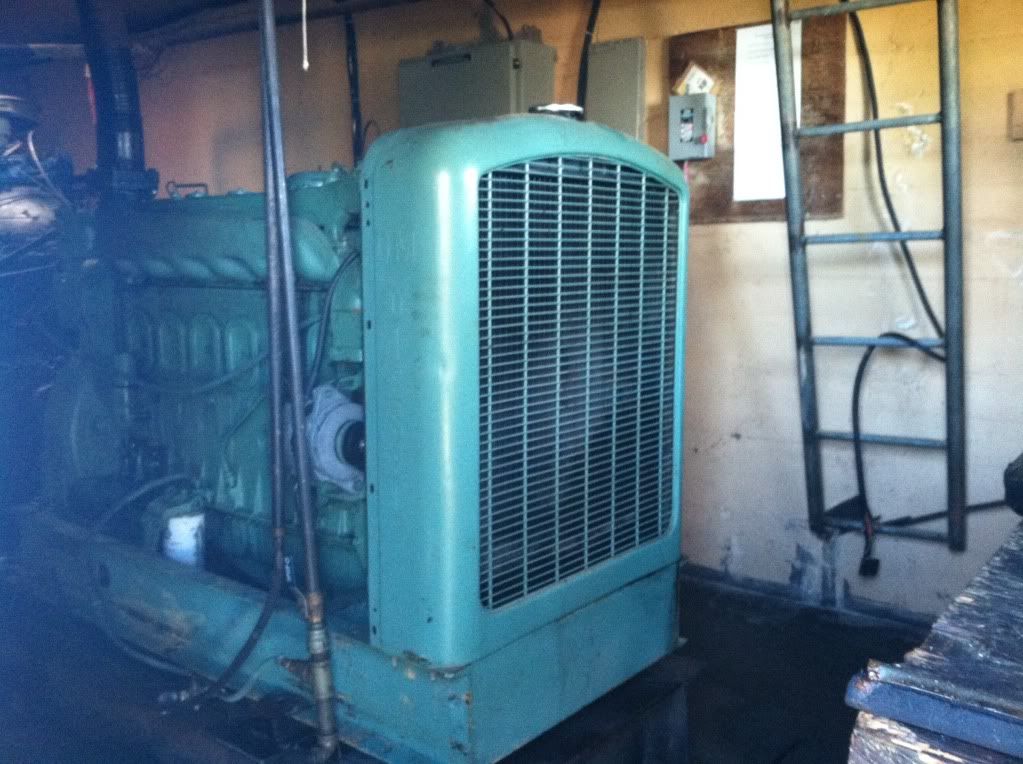
Image

Anyone and everyone that remembers someone that is no longer a "welcome member" of this hiking discussion board will get a kick out of this picture - only he would think it's OK to take an important tool like this off the moutain :)
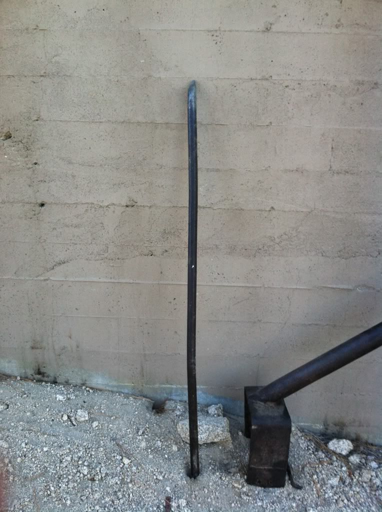
Image

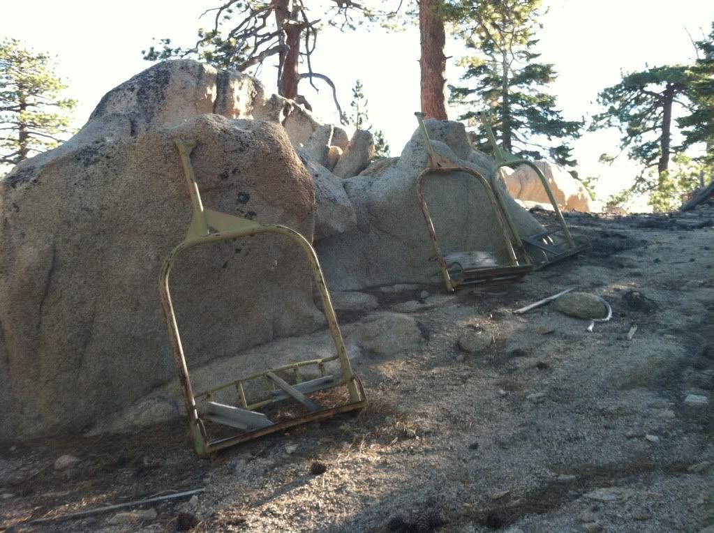
Chairs of "yesteryear"
Image

We did not spot any wildlife (other than squirrels), no bobcats, no cougars but we did see this "snow cat" :roll:
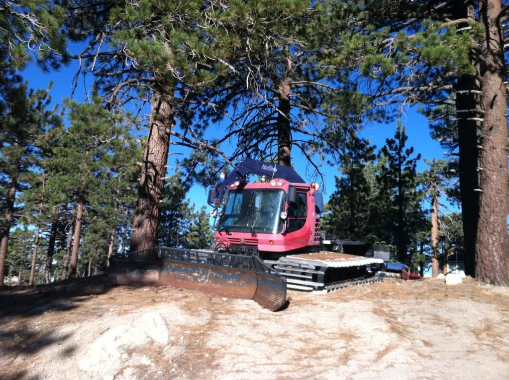
Image

One of five buildings at the top of the ski lifts
Image

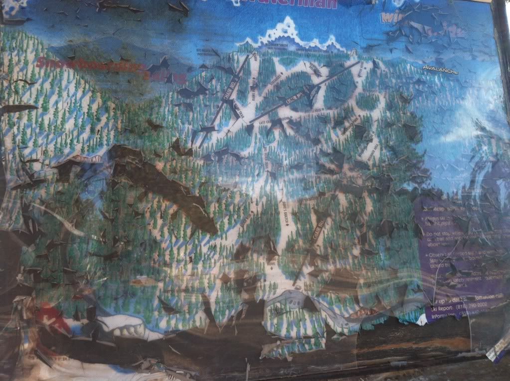
I don't know about you but look at this picture carefully, then look at the next one
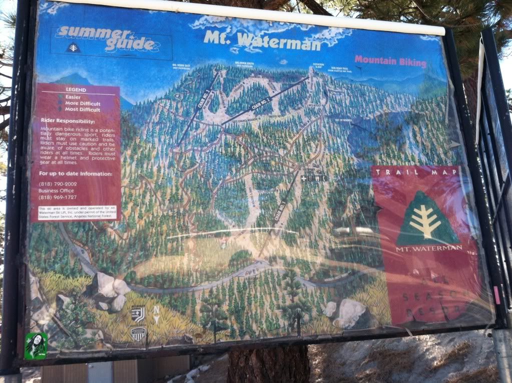
Image

Would you trust a company that would leave this up? If they cannot fix this what are they doing on all the other maintenance around here? These signs were side-by-side
Image

Chair Number Two
Image

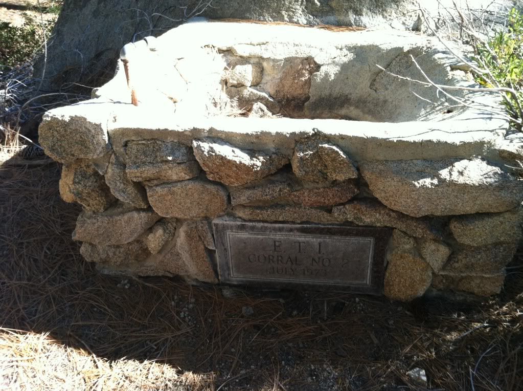
Water trough down by the highway/trailhead
Image

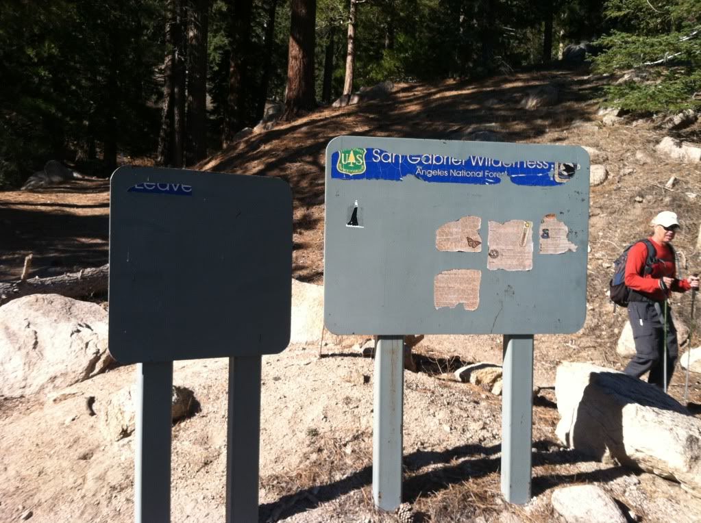
This was the extremely informative "Trail Head" sign, told us everything we needed to know about this area :lol:
Image


On to Mount Williamson


This is the start of the trail from the area "west of Islip" you can also start at Islip but this has more shade (I like)
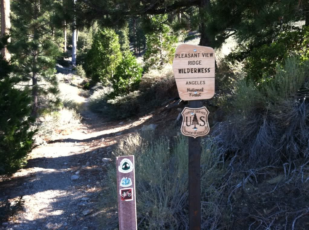
Image

First good view of Williamson Rock where all the climbers go "NOT" :cry: :x
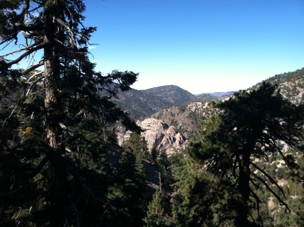
Image

Our second destination for the day Bill's Son otherwise known as Williamson :wink:
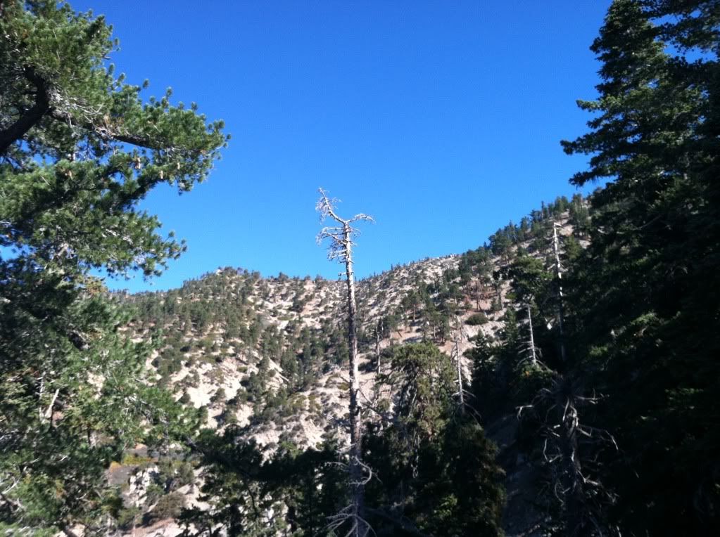
Image

Dem Pirates be added it again
Image

One more for good measure
Image

There was this pamphlet in the summit register with a note that said "Taco" please come visit us and we will be mailing it to you directly
Image

Dead trees that sit on top of Williamson
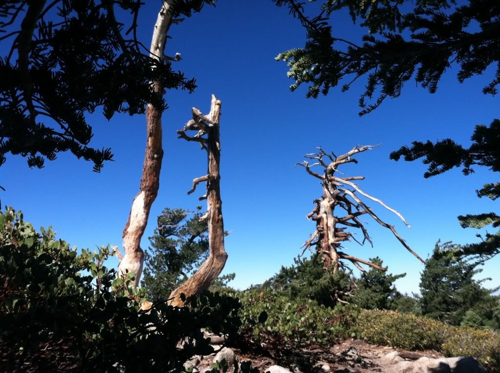
Image

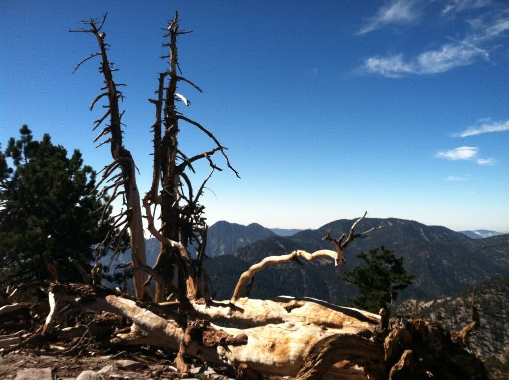
The view from the south ridge looking back over at Mount Waterman with Twin Peaks in the left part of the picture
Image

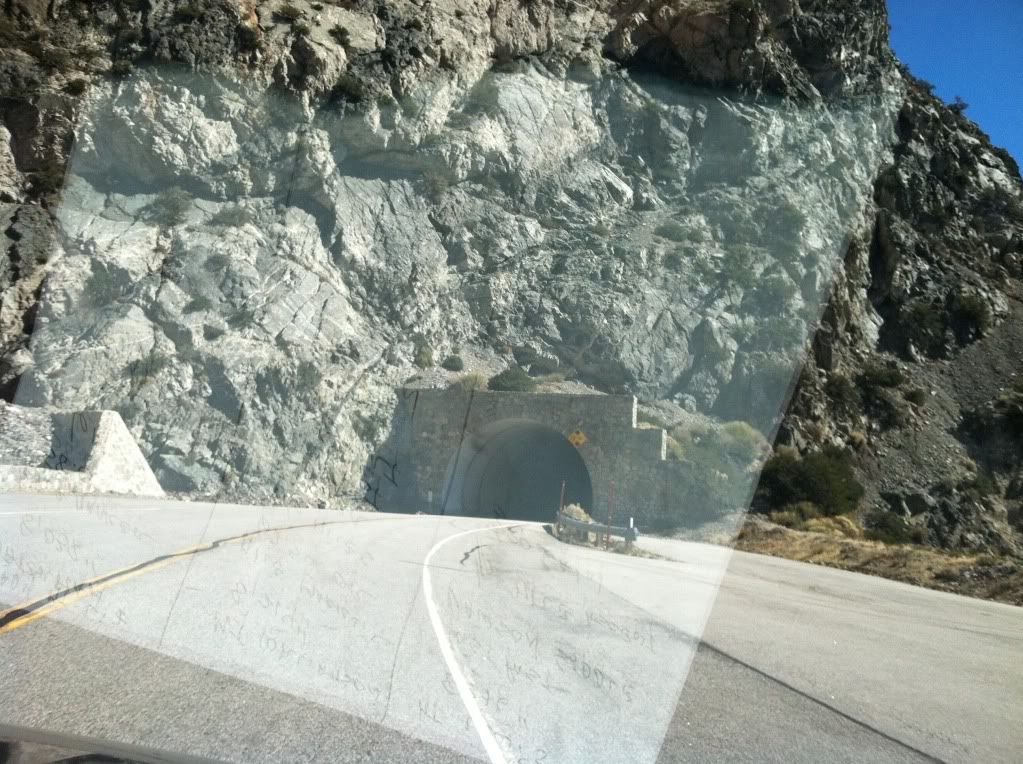
On our way from Williamson to Lewis heading through the two tunnels on Angeles Crest Highway
Image

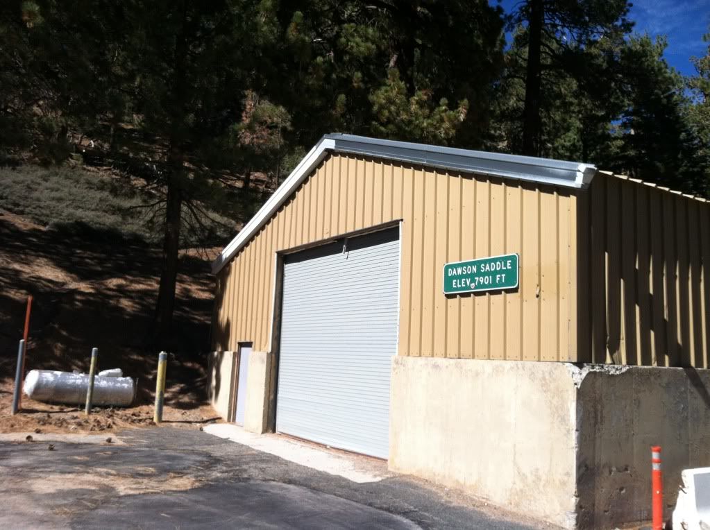
Dawson Saddle and start of the last hike

This picture and angle does not give it justice but the start of this trail is one of the steepest in all the San Gabriel's, someone did not like themselves so they created this as punishment
Image

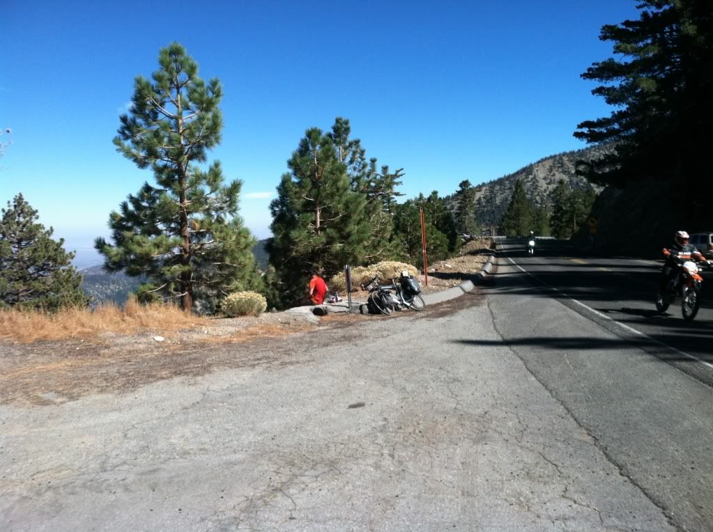
As we were about to start up the mountain we spoke to this man who was enjoying his lunch, he rode his bike from "British Columbia" down paralleling the PCT (as close as he could) and was headed to the Mexican Boarder before heading home - what a great trip
Image

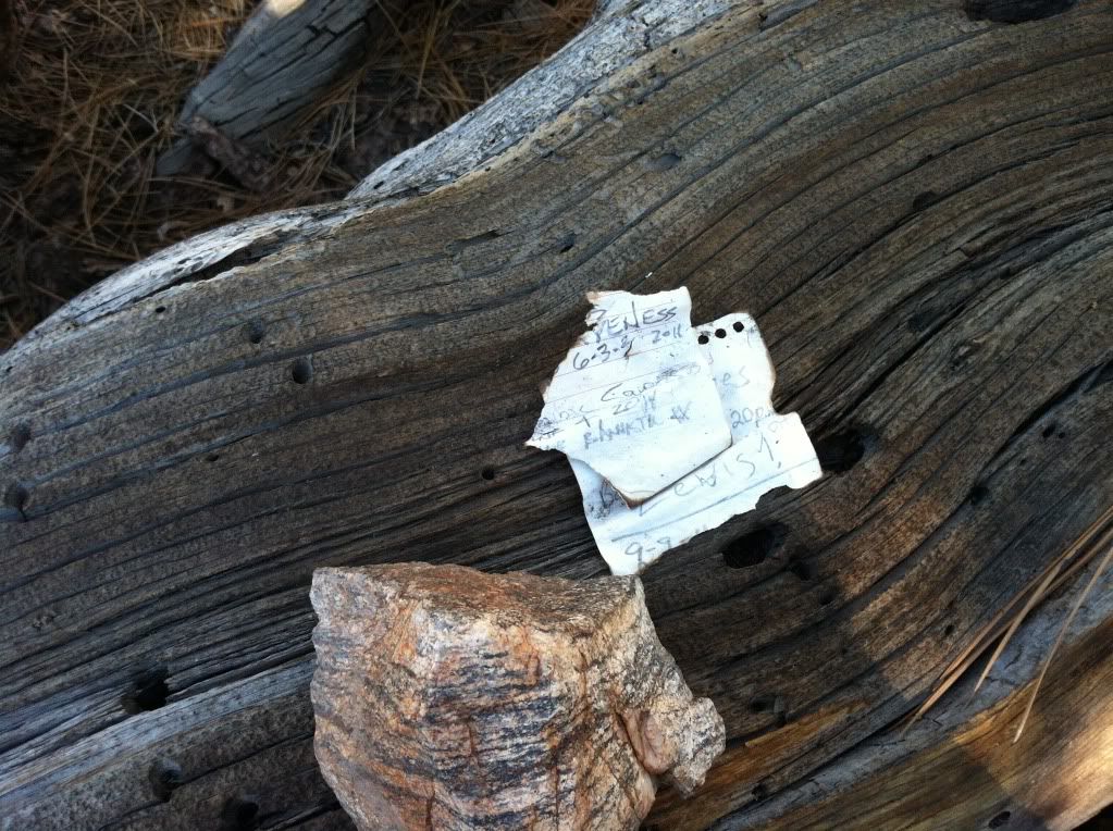
This is the "summit register" on the summit of Mount Lewis it has limit space for new names so don't everyone rush to get up there and fill it in :P
Image

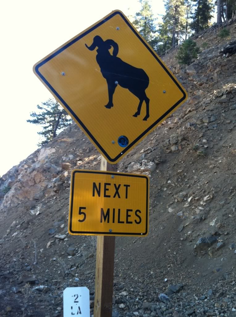
Most intersting picture for the day, here's a question for you hikers
Does this picture mean
"A" that you will see Big Horn Sheep for the next five miles
"B" that Big Horn Sheep are "model's" that are posing only in this area
"C" they only cross the Angeles Crest Highway at this area only
Image

Fun Facts and Notes:

Mount Waterman
3 miles each way if you take the main trail and not the roads or shortcuts
1,247 or 1,300 feet elevation gain depending on where you get numbers
Geomarker "Yes"
Register Can "Yes"

Mount Williamson
5 miles round trip
1,494 to 1,600 elevation gain (there are more up's and down's on this climb than you will find on Mount Waterman) depending on what source you use for your information
Geomarker "No"
Register Can "Yes"

Mount Lewis
1 mile round trip (straight up not kidding)
493 feet of elevation gain
Geomarker "No" could not find
Register Can "No" could not find (summitpost.com shows picture of one but I'll be a monkey's uncle if I could find anything.

Totals
Mileage 12 miles (Give or take a few shortcuts)
Elevation Gain/Descent 3,315 roughly
Time Start at 7 AM done and leaving Dawson Saddle by 2ish

The rest of the pictures can be found HERE

New Challenge for Hikin_Jim :shock: I have an online list of all peaks for the San Gabriels but I know that that list is incomplete. Here's what I'm looking for (regardless of what the "Sierra Club" or anyone else's opinion of a peak is), what are all the peaks, bumps, peaklet's that are at or above 6,000 feet but below the 8,000 foot of the list already completed?

Hit me with what you know or find?

Thanks for your help Jim :D
User avatar
cougarmagic
Posts: 1409
Joined: Wed May 07, 2008 5:21 pm

Post by cougarmagic »

I regret to inform you that your membership in the NHPS has been revoked.


However, great trip report and photos!!!
User avatar
Elwood
Posts: 612
Joined: Fri Aug 15, 2008 5:23 pm

Post by Elwood »

What a wonderful hike, report, and pictures! Congratulations and thanks for sharing.
User avatar
mcphersonm80
Posts: 243
Joined: Mon Aug 23, 2010 11:46 am

Post by mcphersonm80 »

Great report, love those multi-peak days and especially up in that part of the range. 8)

As far as finding peaks in the 6000-8000 range, peakbagger.com has a pretty good query tool.


  • Rank Peak Elev-Ft


  • 1 Pleasant View Ridge 7983

  • 2 Will Thrall Peak 7845

  • 3 South Mount Hawkins 7783

  • 4 Twin Peaks 7761

  • 5 Pallett Mountain 7760

  • 6 Twin Peaks-West Peak 7596

  • 7 Goodykoontz Peak 7558

  • 8 Table Mountain 7516

  • 9 Kratka Ridge 7515

  • 10 Winston Peak 7502

  • 11 Copter Ridge 7499

  • 12 Pine Mountain Ridge 7440

  • 13 Ross Mountain 7402

  • 14 Mount Akawie 7283

  • 15 Wild View Peak 7258

  • 16 Pacifico Mountain 7124

  • 17 Winston Ridge 7003

  • 18 Gobblers Knob 6955

  • 19 Sugarloaf Peak 6924

  • 20 Circle Mountain 6880

  • 21 Lookout Mountain 6812

  • 22 Great Basin-Santa Clara-Los Angeles Triple Divide 6760

  • 23 Bobcat Knob 6709

  • 24 Granite Mountain 6600

  • 25 Pinyon Ridge 6535

  • 26 Mount Gleason 6520

  • 27 Buck Point 6433

  • 28 Bare Mountain 6388

  • 29 Peak 6321 6321

  • 30 Round Top 6316

  • 31 Three Points Triple Divide 6280

  • 32 Mount Hillyer 6200

  • 33 Strawberry Peak 6164

  • 34 San Gabriel Peak 6161

  • 35 Triplet Rocks 6151

  • 36 Chalk Hill 6089

  • 37 Messenger Peak 6015
User avatar
lilbitmo
Posts: 1092
Joined: Tue Mar 04, 2008 9:44 pm

Post by lilbitmo »

mcphersonm80: you have me thinking about another fun one.

Can anyone shed some light on a route that would include

1) Buckhorn/AKawie
2) Winston Peak
3) Winston Ridge
4) Pallett Mountain
5) Pleasant Ridge High Point
6) Will Thrall Summit

Looking to tips as to any short cuts other trails that are not on the maps, ideas.

I just played with things and I show that it would be about 10.2 miles to hit all those spots and then 6 back to the car if I park at Buckhorn and go in the order I have listed above.

Water Source reliability anything you can add - Elwood, HJ anyone?

Thanks

Patrick :D
User avatar
Ze Hiker
Posts: 1430
Joined: Mon Jul 28, 2008 7:14 pm

Post by Ze Hiker »

lilbitmo wrote: mcphersonm80: you have me thinking about another fun one.

Can anyone shed some light on a route that would include

1) Buckhorn/AKawie
2) Winston Peak
3) Winston Ridge
4) Pallett Mountain
5) Pleasant Ridge High Point
6) Will Thrall Summit

Looking to tips as to any short cuts other trails that are not on the maps, ideas.

I just played with things and I show that it would be about 10.2 miles to hit all those spots and then 6 back to the car if I park at Buckhorn and go in the order I have listed above.

Water Source reliability anything you can add - Elwood, HJ anyone?

Thanks

Patrick :D
acme

I ran out of markers and it deleted the start of my route: head up Buckhorn, then descend the northeast ridge that ends at the junction of the high desert trail and PCT. Then go up the southwest ridge of Goodykoontz (that's another peak).

I don't know how much it dries out, but Cooper Canyon falls is a good shot for getting more water.

Any reason you didn't go to Twin peaks/
User avatar
lilbitmo
Posts: 1092
Joined: Tue Mar 04, 2008 9:44 pm

Post by lilbitmo »

wrote:
lilbitmo wrote: mcphersonm80: you have me thinking about another fun one.

Can anyone shed some light on a route that would include

1) Buckhorn/AKawie
2) Winston Peak
3) Winston Ridge
4) Pallett Mountain
5) Pleasant Ridge High Point
6) Will Thrall Summit

Looking to tips as to any short cuts other trails that are not on the maps, ideas.

I just played with things and I show that it would be about 10.2 miles to hit all those spots and then 6 back to the car if I park at Buckhorn and go in the order I have listed above.

Water Source reliability anything you can add - Elwood, HJ anyone?

Thanks

Patrick :D
acme

I ran out of markers and it deleted the start of my route: head up Buckhorn, then descend the northeast ridge that ends at the junction of the high desert trail and PCT. Then go up the southwest ridge of Goodykoontz (that's another peak).

I don't know how much it dries out, but Cooper Canyon falls is a good shot for getting more water.

Any reason you didn't go to Twin peaks/
Yes, Ty was with me and he had not been out lately and I was specifically trying to nab the last three peaks that would finish the list of peaks over 8,000, chances are that we could have done those as well, we finished earlier than expected - but the lunch in Wrightwood was so damn good we made the right choice to get some grub and head home - you coming down soon?
User avatar
Hikin_Jim
Posts: 4686
Joined: Thu Sep 27, 2007 9:04 pm

Post by Hikin_Jim »

lilbitmo wrote: Does this picture mean
"A" that you will see Big Horn Sheep for the next five miles
"B" that Big Horn Sheep are "model's" that are posing only in this area
"C" they only cross the Angeles Crest Highway at this area only
Image
Why "C" of course. Duh. :wink:


HJ
User avatar
Hikin_Jim
Posts: 4686
Joined: Thu Sep 27, 2007 9:04 pm

Post by Hikin_Jim »

lilbitmo wrote: Can anyone shed some light on a route that would include
1) Buckhorn/AKawie
2) Winston Peak
3) Winston Ridge
4) Pallett Mountain
5) Pleasant Ridge High Point
6) Will Thrall Summit

Looking to tips as to any short cuts other trails that are not on the maps, ideas.

I just played with things and I show that it would be about 10.2 miles to hit all those spots and then 6 back to the car if I park at Buckhorn and go in the order I have listed above.

Water Source reliability anything you can add - Elwood, HJ anyone?
Here, plotted on our friend Acme Mapper, is my take.

Start at Buckhorn. Water is available so long as the campground is open. Head down the Burkhart Trail towards point "B". You'll hit two springs en route, but both are just seeps really; neither is all that great for collecting water, but the second is better than the first as you descend. Just past "B" as you descend, you'll cross Buckhorn Creek which is normally reliable. If there's no water at "B" there's liable to be water at "C" (Little Rock Creek). If there's no water where the trail crosses, go downstream a bit.

Head up the Burkhart Trail from the crossing. There is frequently water at "D" and "E" but neither source is reliable this late in a mediocre water year. Get up to Burkhart Saddle and then do two side trips, one to the west for Thrall and PVR, one to the east for Pallet. Personally, I'd rather do Pallet as a separate trip with Goodykoontz, but I'll post on that separately. The trail shown leaving west from Burkhart Saddle does NOT exist. There is a use trail both directions from the saddle (east and west).

Now, head back down to the vicinity of "B" but this time branch off on the PCT and head towards "J" (Cooper Canyon Trail Camp). Notice how I've placed "J" in the side stream near the camp. There is often water here even when everything you've passed as you ascended the PCT is dry, no guarantee though.

From Cooper Canyon Trail Camp, either follow the PCT which is really roundabout in its route or head up the service road and then cut straight up towards point "K". Cut across the NNE face of point 6903 (steep, but doable). There's a faint use trail. Hit the obvious saddle at "L" and then bag Winston Ridge ("M").

From Winston Ridge, head back to "L", but this time cut across the west face of point 6903. There's a fairly clear use trail here that will take you to Winston Peak ("Q") and then down to Cloudburst summit ("S").

Just east of Cloudburst summit, there's an odd little spring that comes straight out of the rock right above the road, vicinity of "T". Look for a wet spot and greenery. It's actually fairly reliable.

From the spring, head to the parking area just past "U". Look for a battered metal gate. Follow the old logging road behind the gate to the saddle at "V" (you can just cut up the drainage below the saddle), and then ascend the easy, broad ridge to the peak of Buckhorn/Akawie ("W"). The summit is a few rocks, and there's not much in the way of views.

From Akawie/Buckhorn, you probably could cut straight down the SE ridge directly to your car at the trailhead parking, or if your quads were giving out, retrace your steps to the parking area near "U" and walk the road back to your car. It does take a little nav to get through the campground, but the FS put up signs recently, so negotiating the campground is a piece of cake now.

Heck of a long day my friend.

HJ

P.S. I just looked at Zé's route. He does the whole thing but adds Goodykoontz (7558'). I think I actually like Zé's route slightly better than mine.
User avatar
Ze Hiker
Posts: 1430
Joined: Mon Jul 28, 2008 7:14 pm

Post by Ze Hiker »

lilbitmo wrote:
Yes, Ty was with me and he had not been out lately and I was specifically trying to nab the last three peaks that would finish the list of peaks over 8,000, chances are that we could have done those as well, we finished earlier than expected - but the lunch in Wrightwood was so damn good we made the right choice to get some grub and head home - you coming down soon?
Nice "list finish"!

I'll be down in 3 weeks actually. Friend up here wants to do C2C so I'm more than willing. Feel free to join!
Post Reply