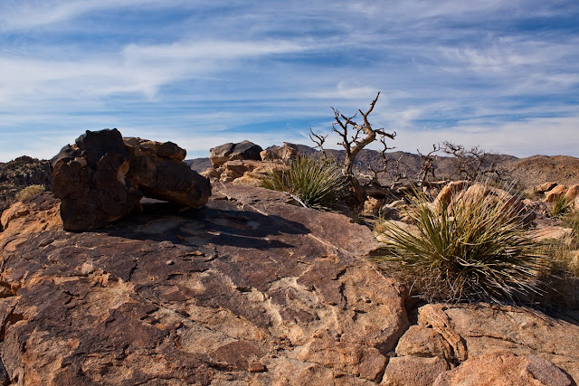
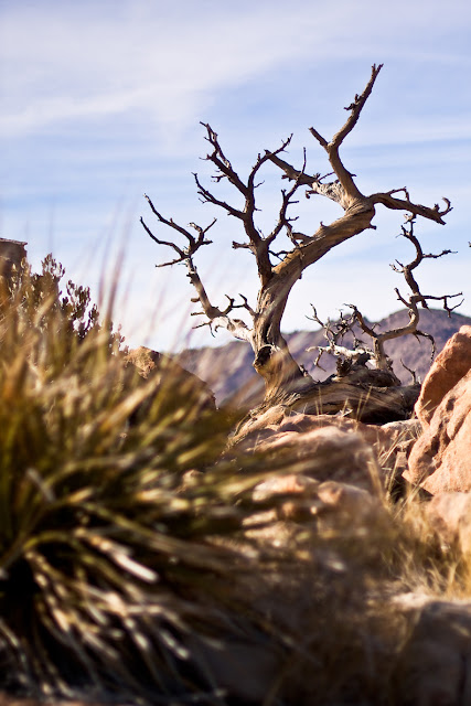
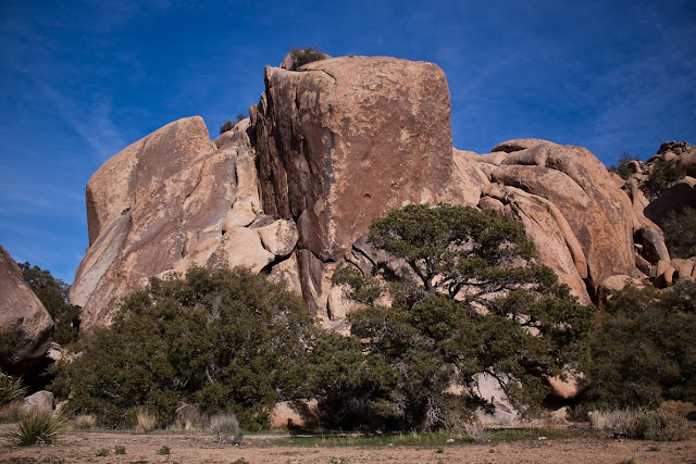
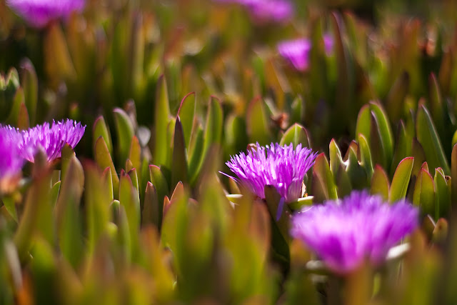
PHOTOS - Post or link to pictures!
Taken 05/28/2011
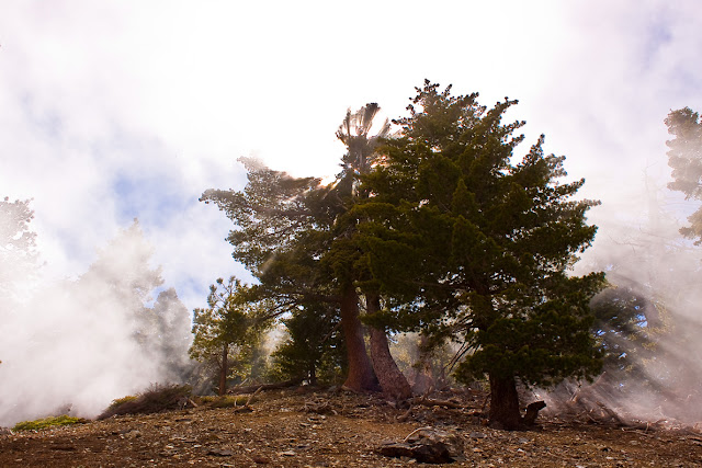
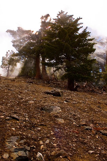
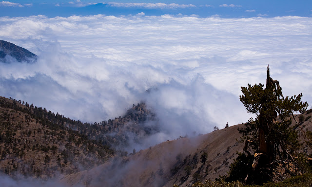
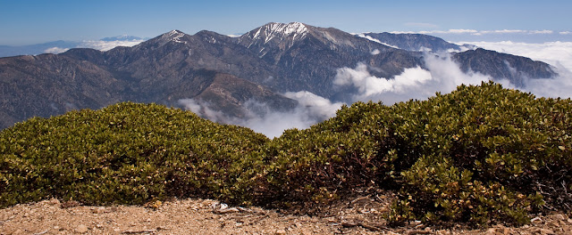
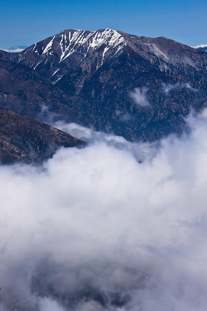
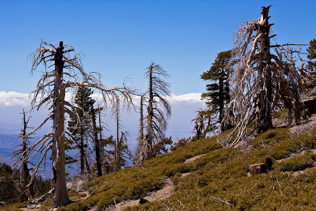
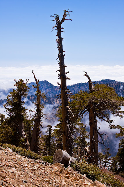
Here are a couple I took last year along the PCT looking towards Baden-Powell.
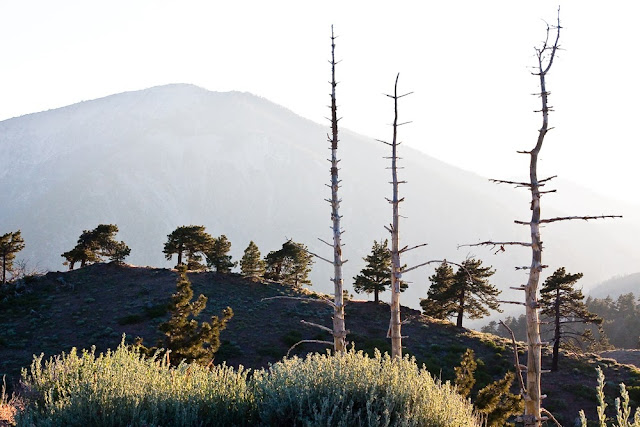
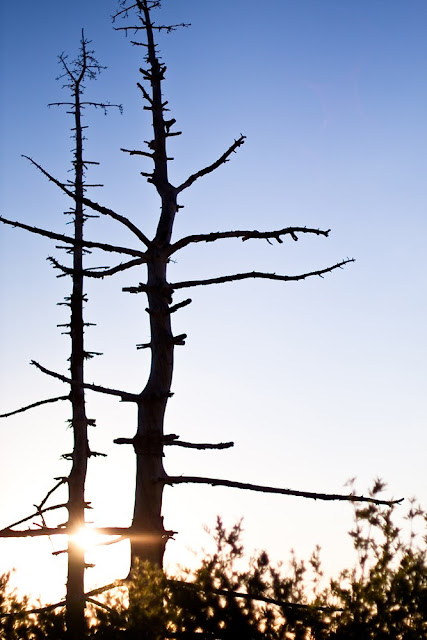
I have more on my photo blog if you are interested.
http://trailsandwhatnot.blogspot.com/


Here are a couple I took last year along the PCT looking towards Baden-Powell.


I have more on my photo blog if you are interested.
http://trailsandwhatnot.blogspot.com/
- blueshammer
- Posts: 105
- Joined: Wed Nov 25, 2009 1:03 pm
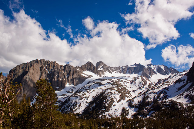
Mt. San Jacinto, I believe?
The picture was taken in early April on a Delta flight to LAX, approximately 30 minutes after crossing the California border.

The picture was taken in early April on a Delta flight to LAX, approximately 30 minutes after crossing the California border.

- terrifyinghorsemask
- Posts: 2
- Joined: Fri Jun 10, 2011 2:02 pm
Photobomb incoming:
Lower Monroe Trail


East Fork


San Gabriel River from the trail to the bridge


SHIRTLESS RIVER AIRGUITAR SOLO

Buckhorn trail down to Cooper Canyon


https://fbcdn-sphotos-a.akamaihd.net/hp ... 9274_n.jpg
Somewhere along the 5 through Oregon

Seattle

Lower Monroe Trail


East Fork


San Gabriel River from the trail to the bridge


SHIRTLESS RIVER AIRGUITAR SOLO

Buckhorn trail down to Cooper Canyon


https://fbcdn-sphotos-a.akamaihd.net/hp ... 9274_n.jpg
Somewhere along the 5 through Oregon

Seattle

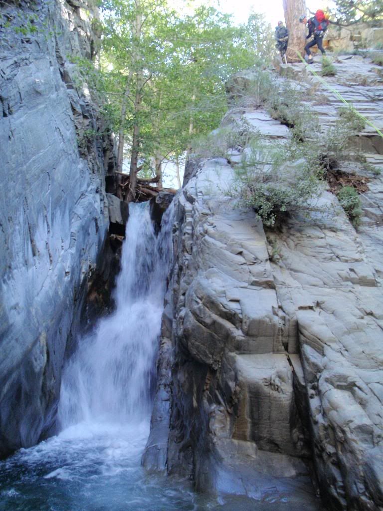
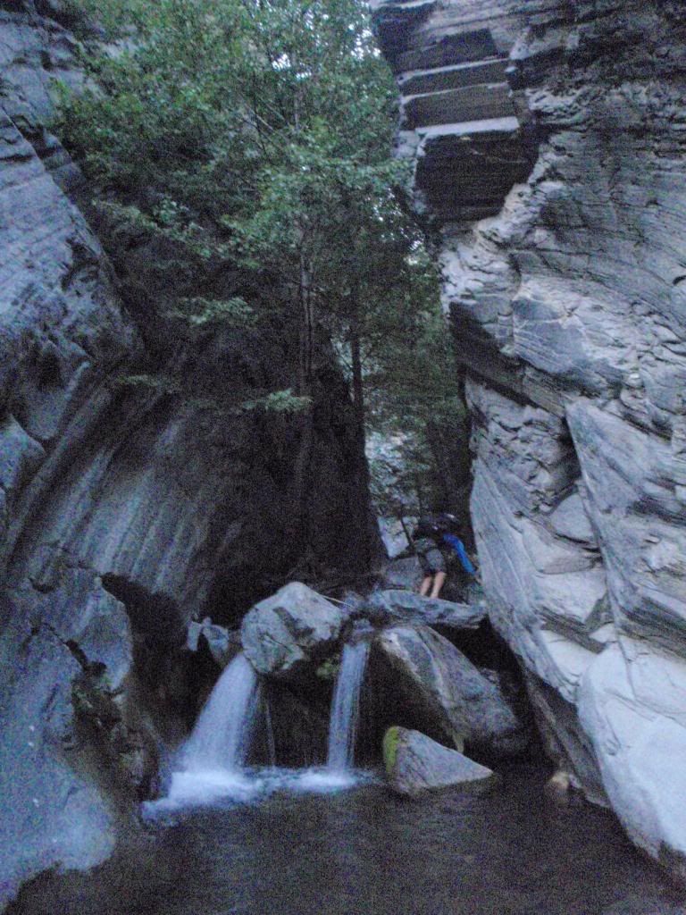
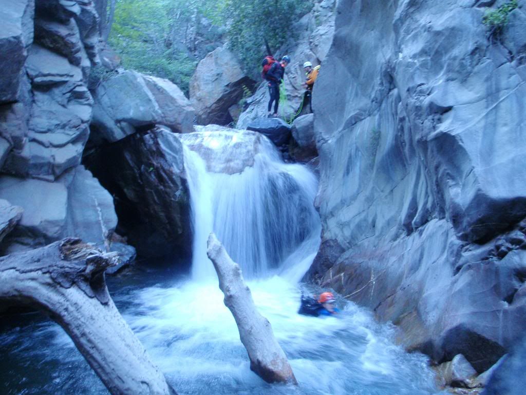
Here are photos from 2010 and 2011 to compare and contrast how much canyons change.
We had more flow this year (2011).
Photos are side-by-side, with 2010 on the left and 2011 on the right.
First rapp 2010
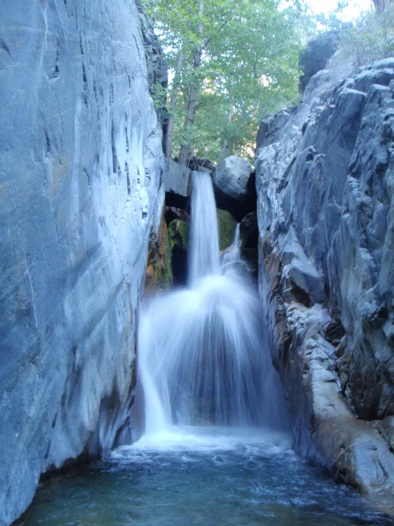
First pool
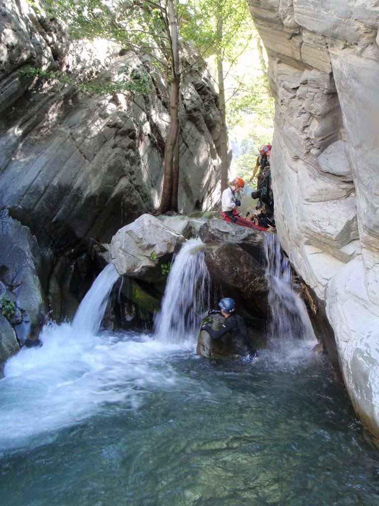
Second rapp 2010
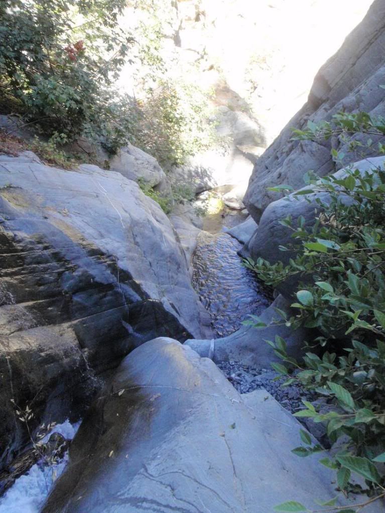
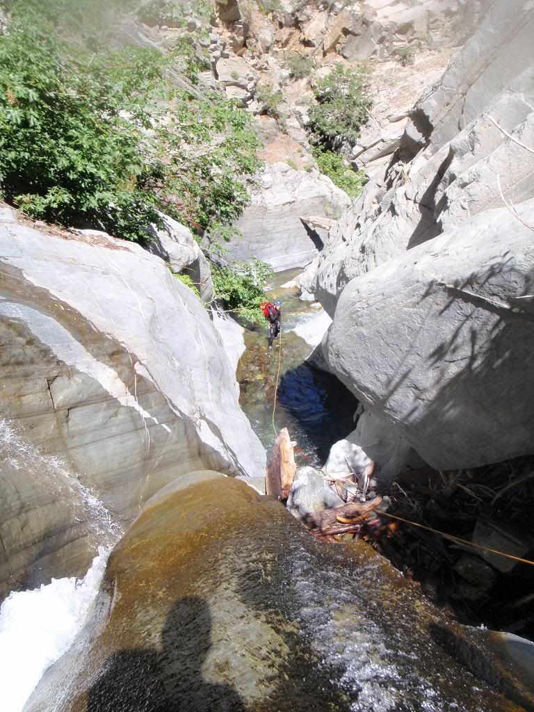
Second rapp from below, 2010
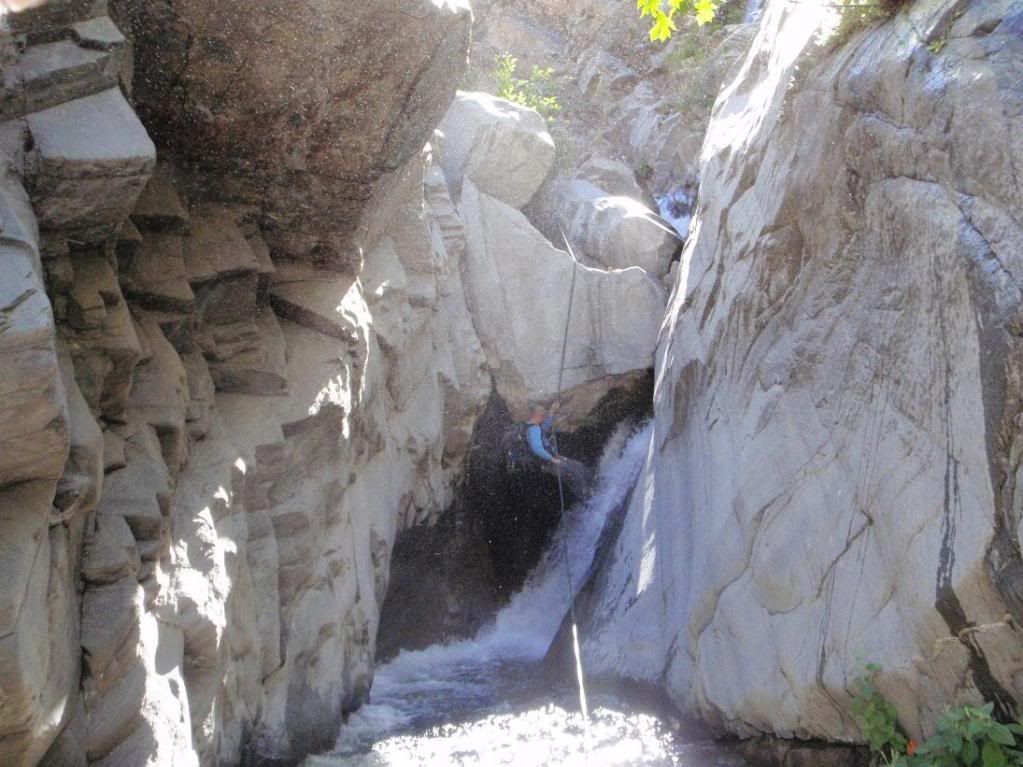
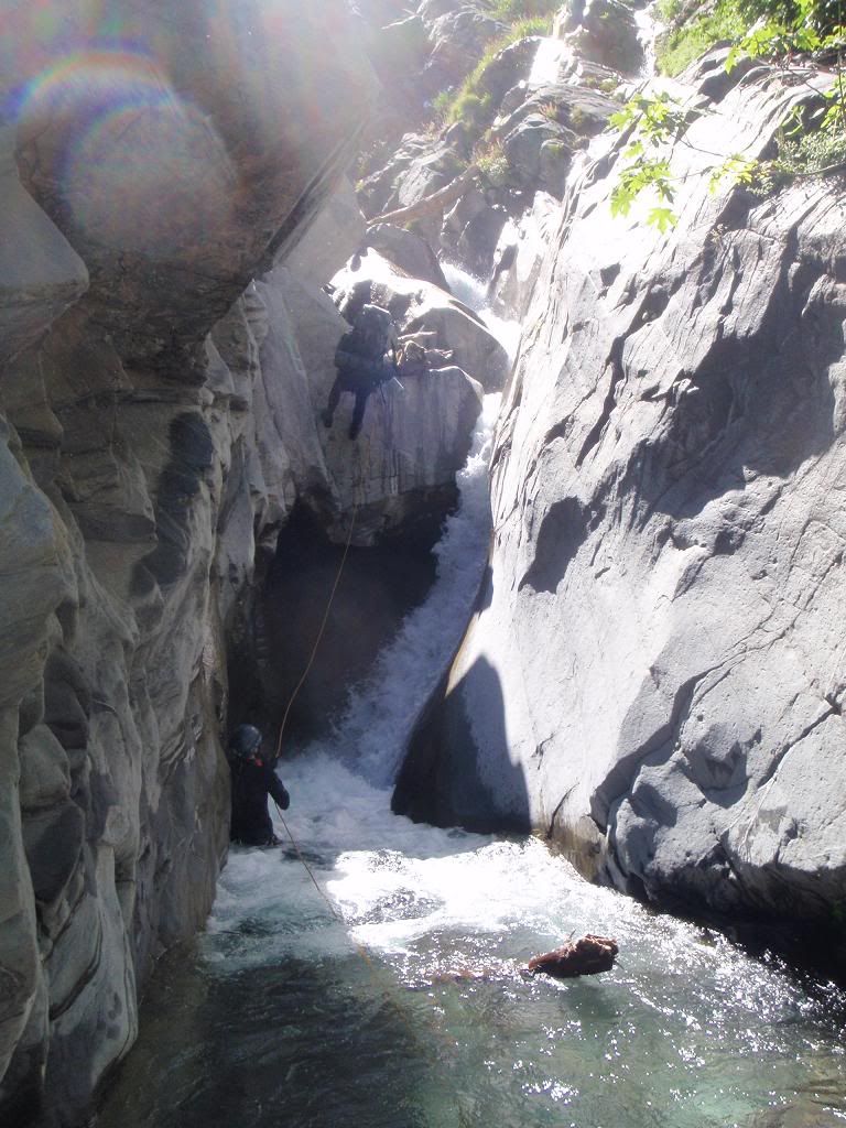
Chockstone Alley 2010
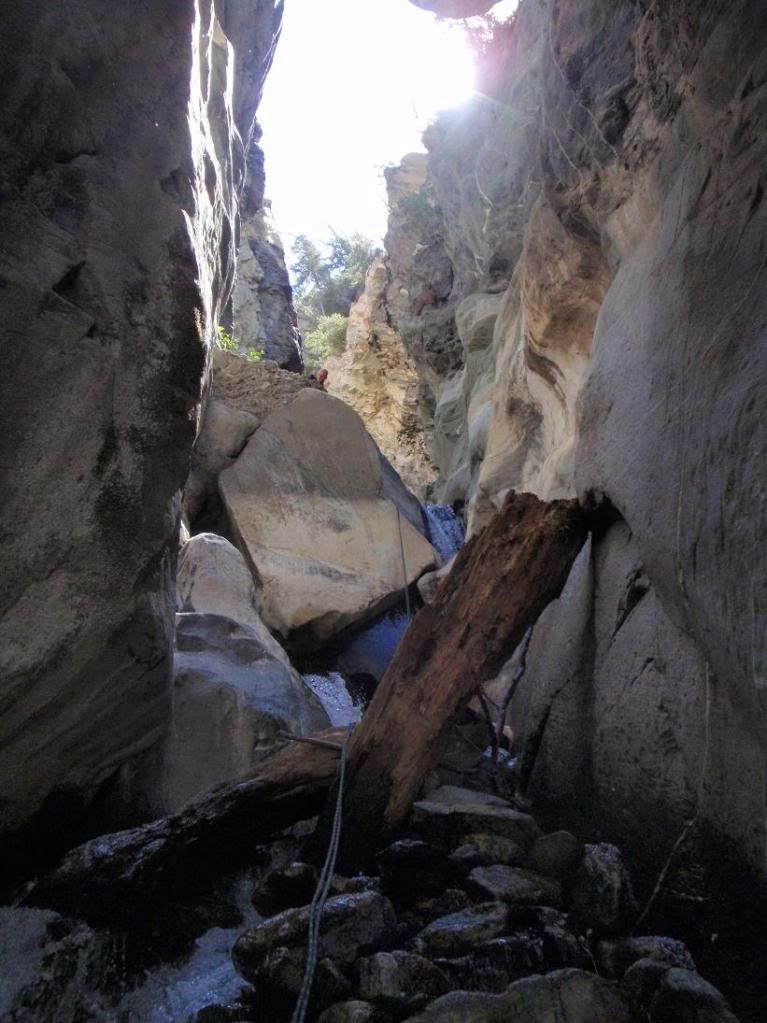
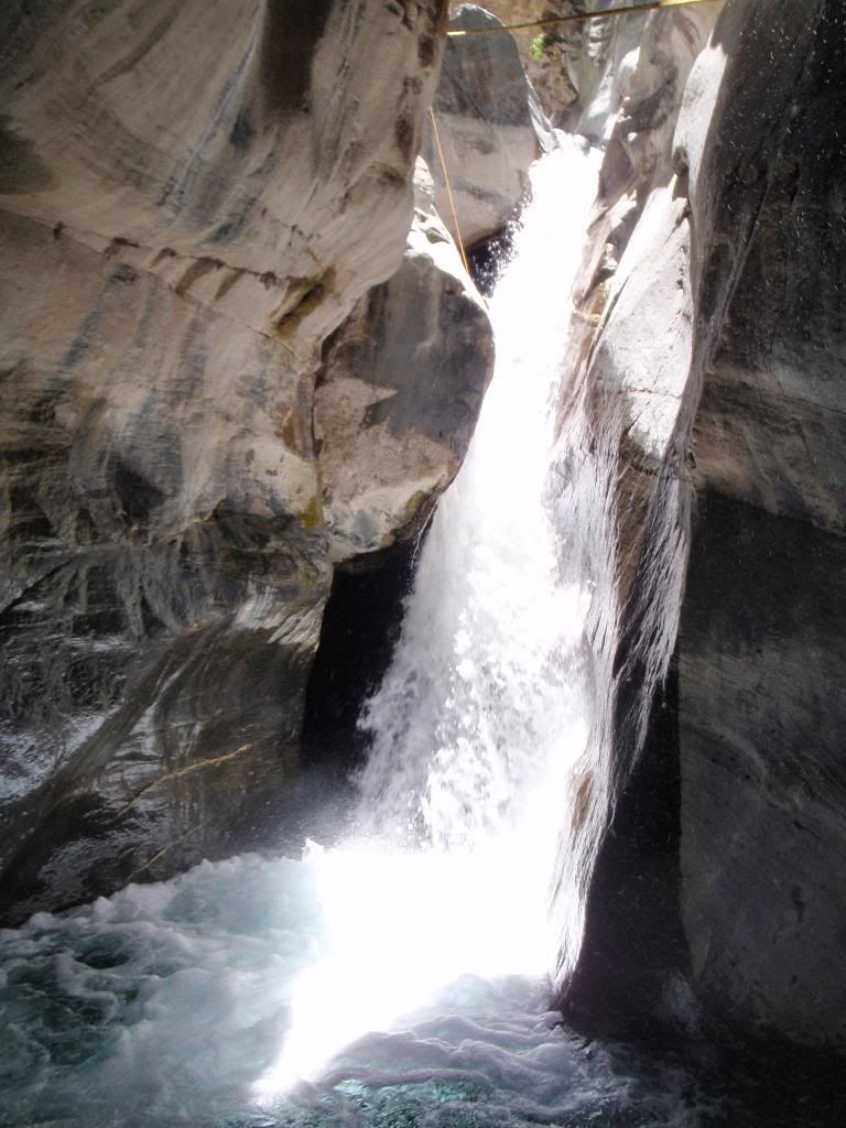
(HUGE difference!!!)
Big Falls 2010
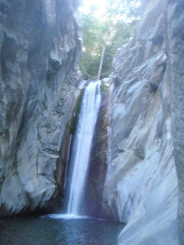
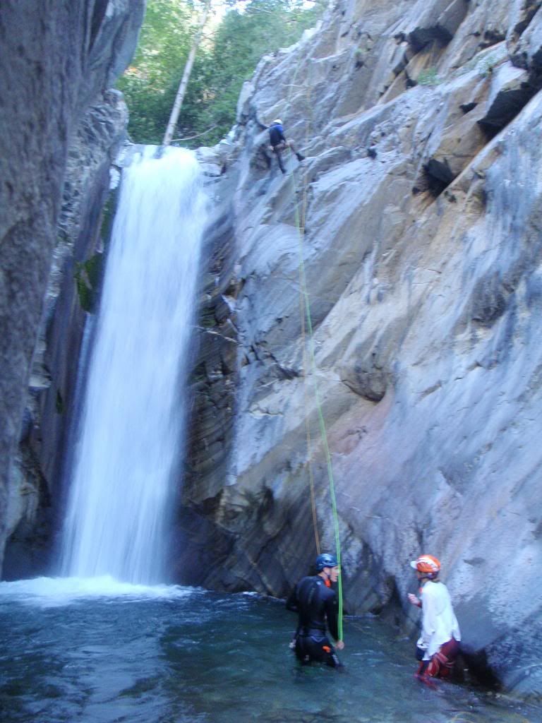
2nd to last rapp 2010
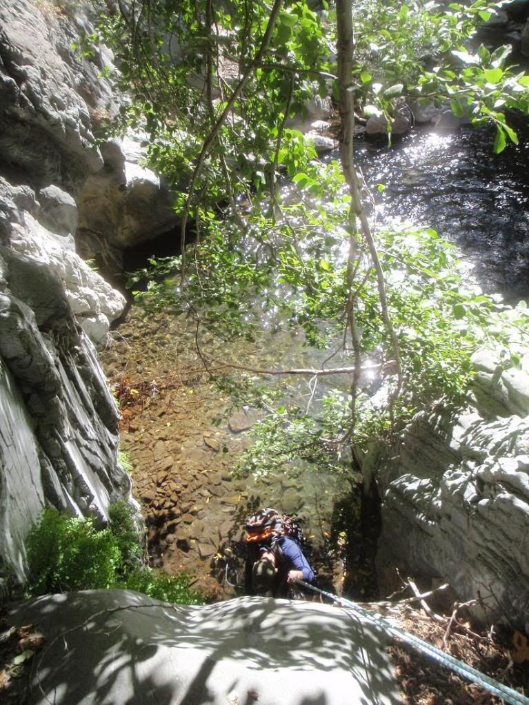
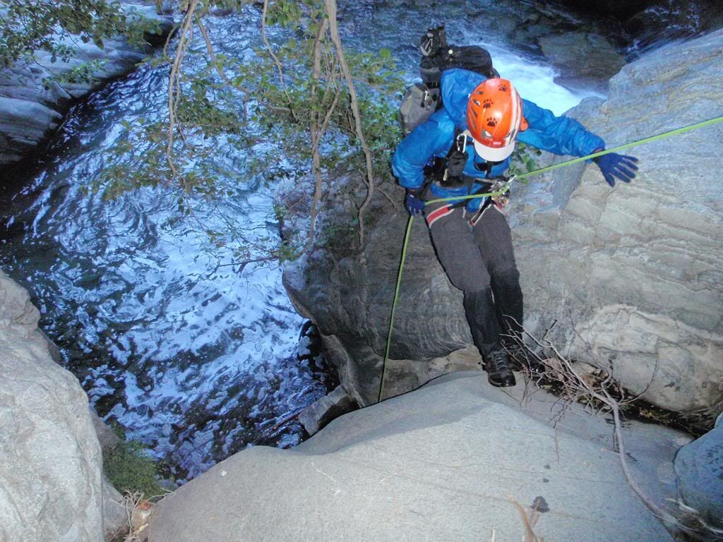
(much deeper pool)
Last rapp 2010
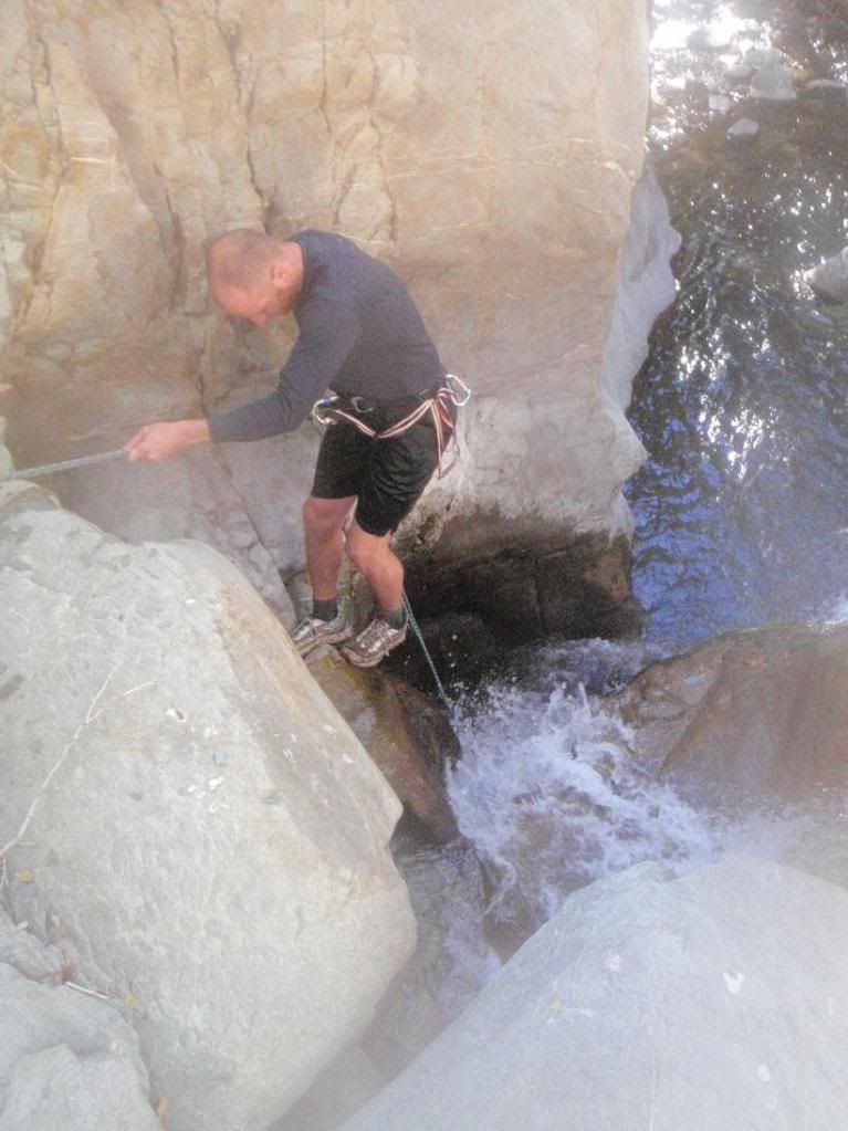
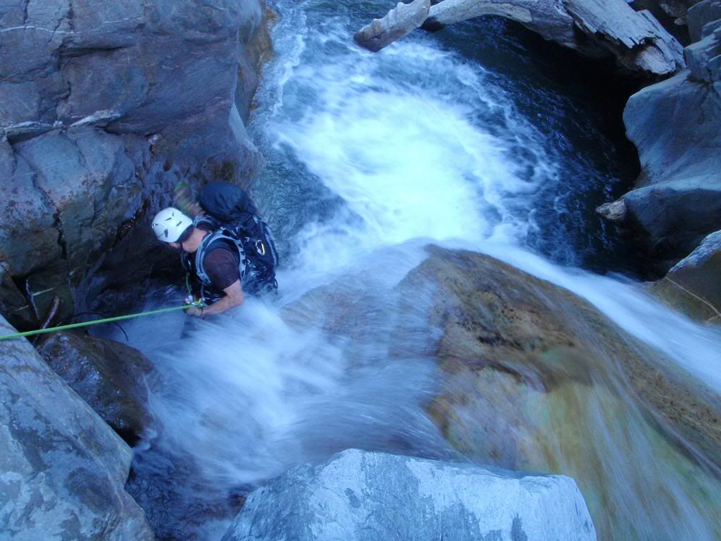
Last rapp from below 2010
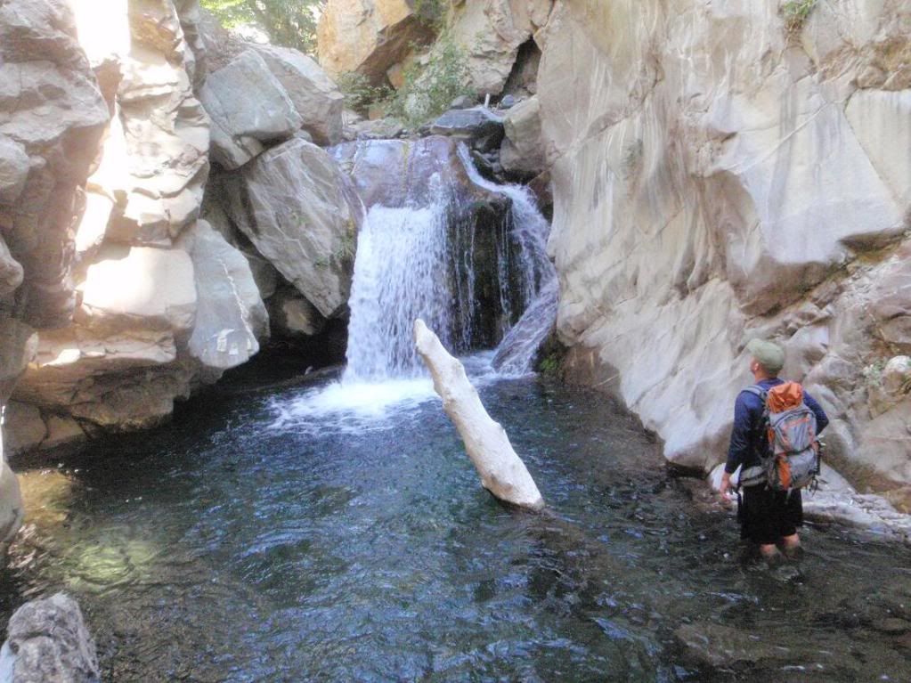
Cheers all
We had more flow this year (2011).
Photos are side-by-side, with 2010 on the left and 2011 on the right.
First rapp 2010


First pool


Second rapp 2010


Second rapp from below, 2010


Chockstone Alley 2010


(HUGE difference!!!)
Big Falls 2010


2nd to last rapp 2010


(much deeper pool)
Last rapp 2010


Last rapp from below 2010


Cheers all
- davantalus
- Posts: 203
- Joined: Mon Jun 08, 2009 9:09 am
Wow awesome retrospective! That's in just 10 months?
Also more friends and helmets.
Also more friends and helmets.
- cougarmagic
- Posts: 1409
- Joined: Wed May 07, 2008 5:21 pm
I love comparisons like that! LOVE them! Great job. Overall, I'd say I would have expected even more flow in June given the rain and snowmelt, but it obviously drains pretty well. Super cool how that logjam/rocks got washed out of there.
Nice work Taco, that spot where we got cliffed out by the last waterfall in 2010 has some serious "hydraulics" going on and much deeper this time.
I need to get some skills under my belt to run down that one of these days, thanks for sharing that.
I need to get some skills under my belt to run down that one of these days, thanks for sharing that.
hvydrt, the first trip into Fish Fork was from 8-31 to 9-1 of 2010. There are a few pics from 9-11-10 in there, when we went back to get our gear. The new photos are from 6-24 through 6-26, so early summer and late summer.
Patrick, the last falls actually pushed you away instead of sucking you in. It was quite nice!
Patrick, the last falls actually pushed you away instead of sucking you in. It was quite nice!
A happening of harvestmen by Bear Creek:
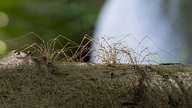
Harvestman Party! by Icybacon, on Flickr
Surprise bird moment by one of the Bear Creek campsites:
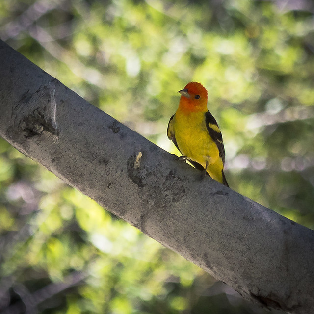
Western Tanager by Icybacon, on Flickr
Unfortunately it's not that interesting when tiny, but I was really happy with this for a sunny/shady river panorama. Hardly any blown highlights or lost shadows, and the full size (10k by 4k or so) looks very crisp. I think this crossing was somewhere by the middle camp along Bear Creek.
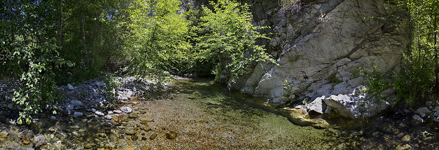
Bear Creek Pool by Icybacon, on Flickr

Harvestman Party! by Icybacon, on Flickr
Surprise bird moment by one of the Bear Creek campsites:

Western Tanager by Icybacon, on Flickr
Unfortunately it's not that interesting when tiny, but I was really happy with this for a sunny/shady river panorama. Hardly any blown highlights or lost shadows, and the full size (10k by 4k or so) looks very crisp. I think this crossing was somewhere by the middle camp along Bear Creek.

Bear Creek Pool by Icybacon, on Flickr
Hell yeah. Nice!!! I've yet to see one of these guys.


