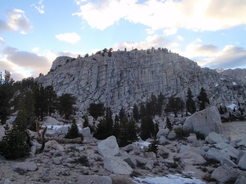
20100626 Cirque & Langely

TRs for Sierra Nevada ranges.
User avatar
Taco
Snownado survivor
Posts: 6037
Joined: Thu Sep 27, 2007 4:35 pm

Post by Taco »

Thanks for the trip, guys!

I felt great until a while before the summit of Langely. I took my RX migraine pill to knock out the headache I started to get, and also took some RX painkiller. The painkiller was great at first, but I think it made the altitude sickness about a billion times worse. Felt better as we went further down, until a few miles from the car when it got even worse. Finally felt good when we got into Lone Pine.

Fiddled around with a Pine Borer Beetle that Patrick found in the Carl's Jr parking lot. Flipped it over a few times and it screamed at me a lot. Crazy little bastards.

Thanks for waiting up for me while I felt like I was being run over by trucks, guys. :-)
Image
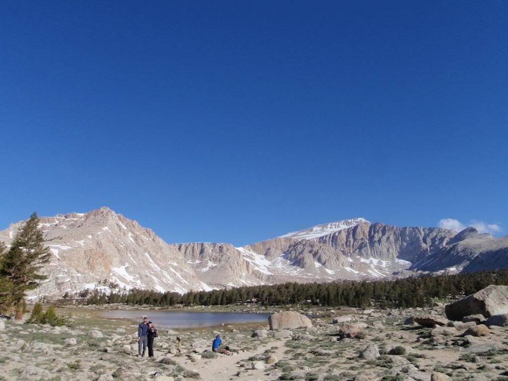
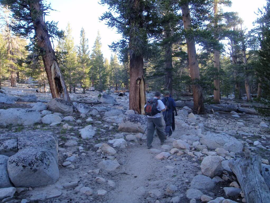
Hike in

Image
Crizag

Image
Tina

Image
Walk the walk

Image
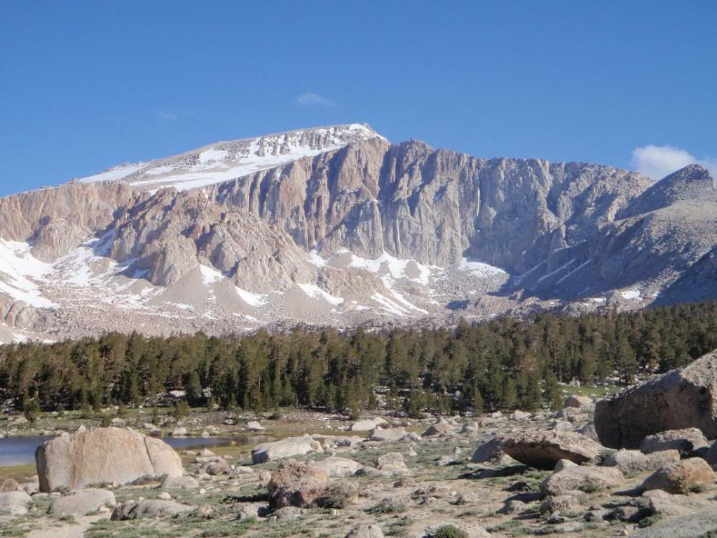
Langely South Face

Image
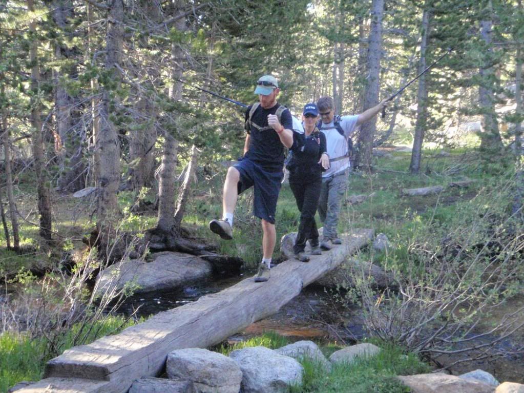
Zach, Tina, and some dude.

Image
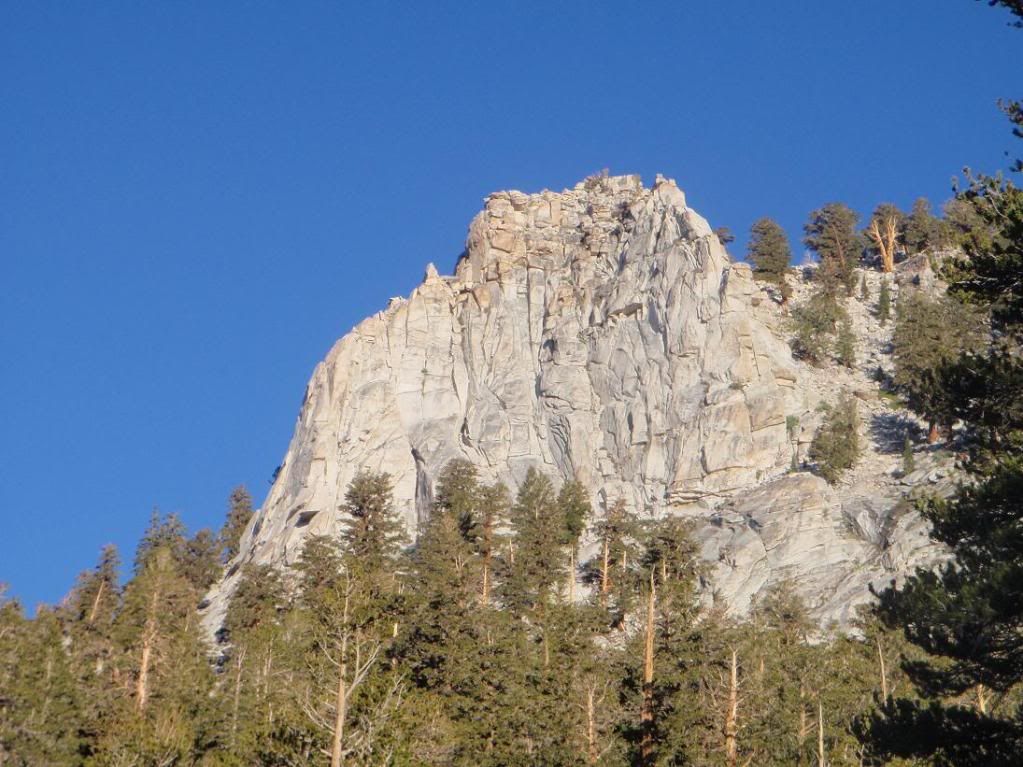
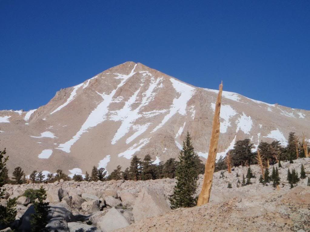
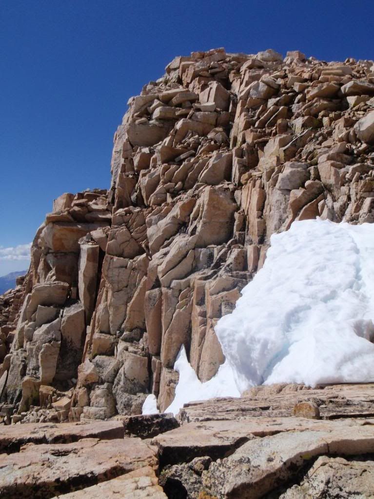
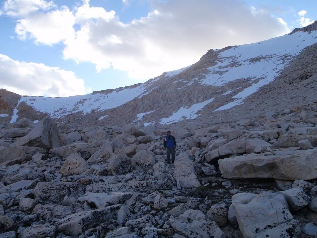
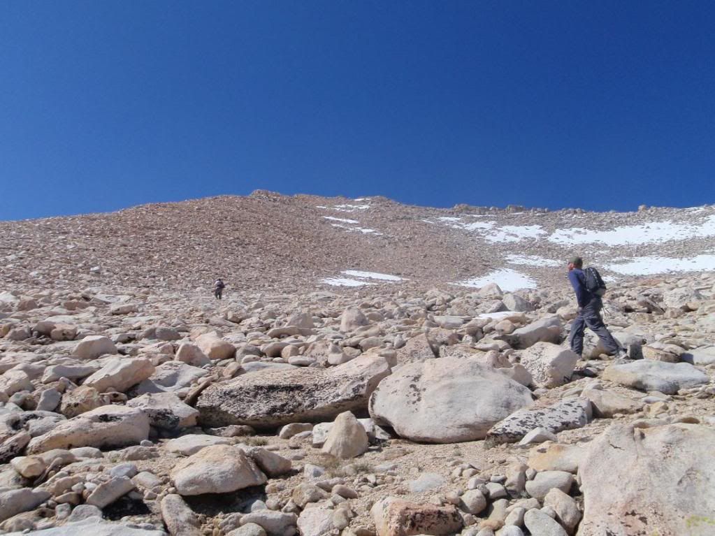
Cirque East Face. We ended up hiking up the north slope/face. I tried to stick somewhat close to the north ridge, but it was rather loose. Not San Gabriel loose with little rocks and short falls, but big loose with oh-shit moments kinda stuff.
Image
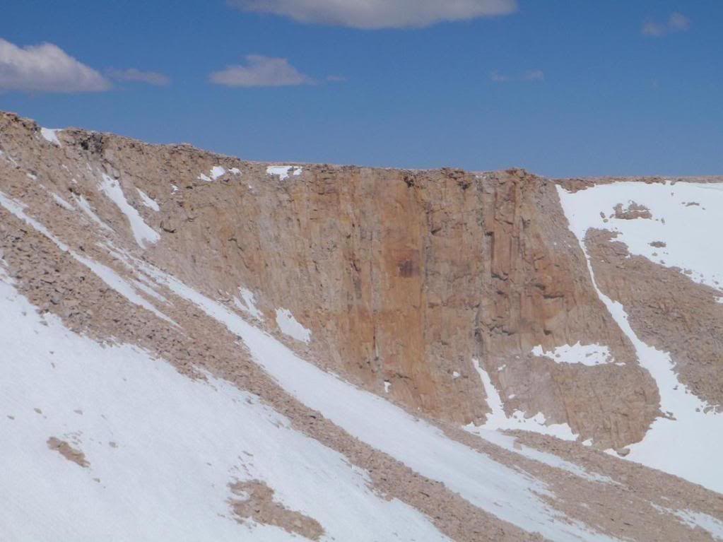
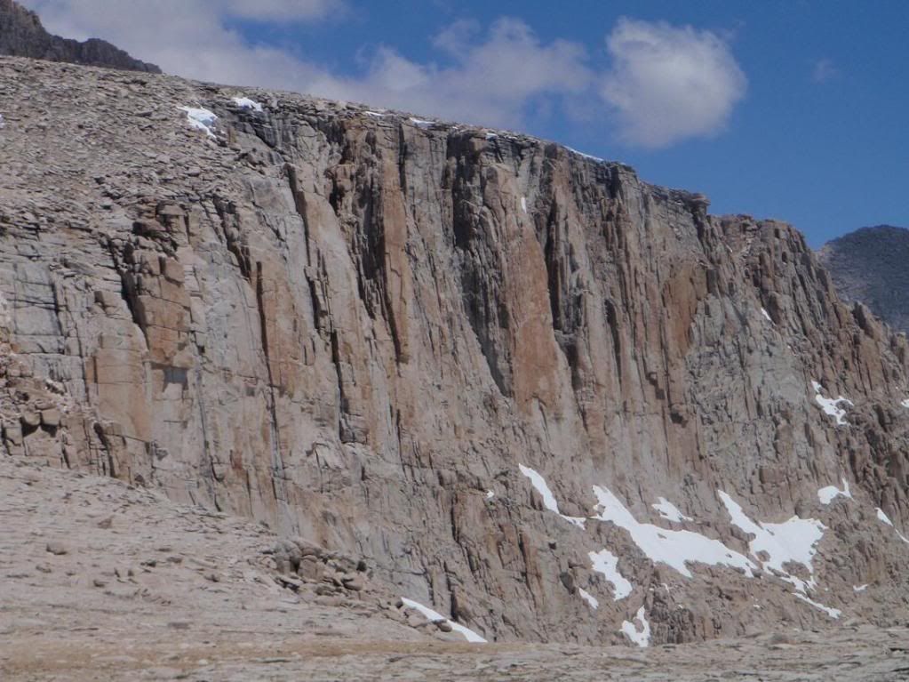
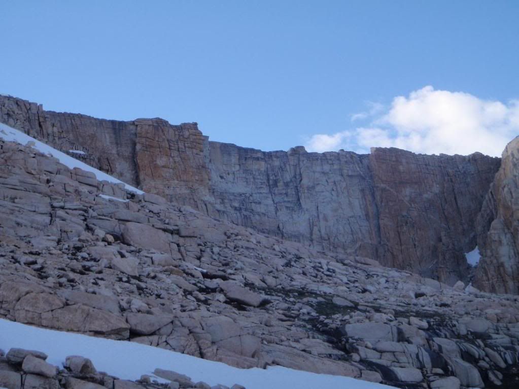
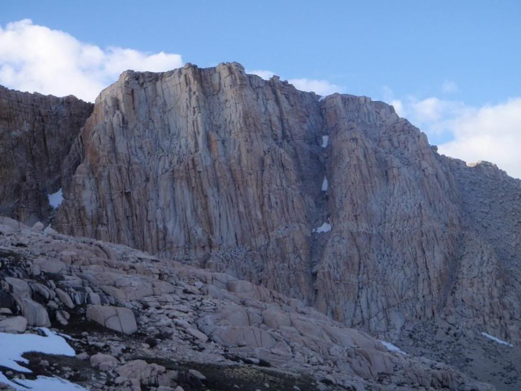
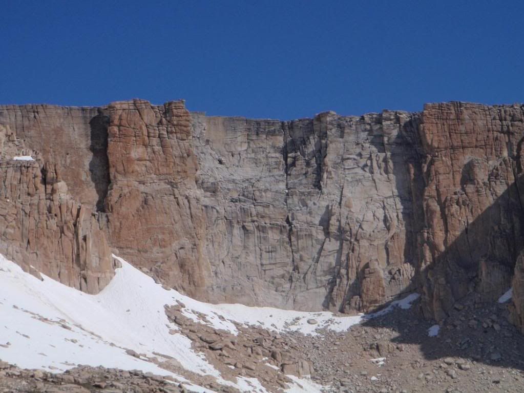
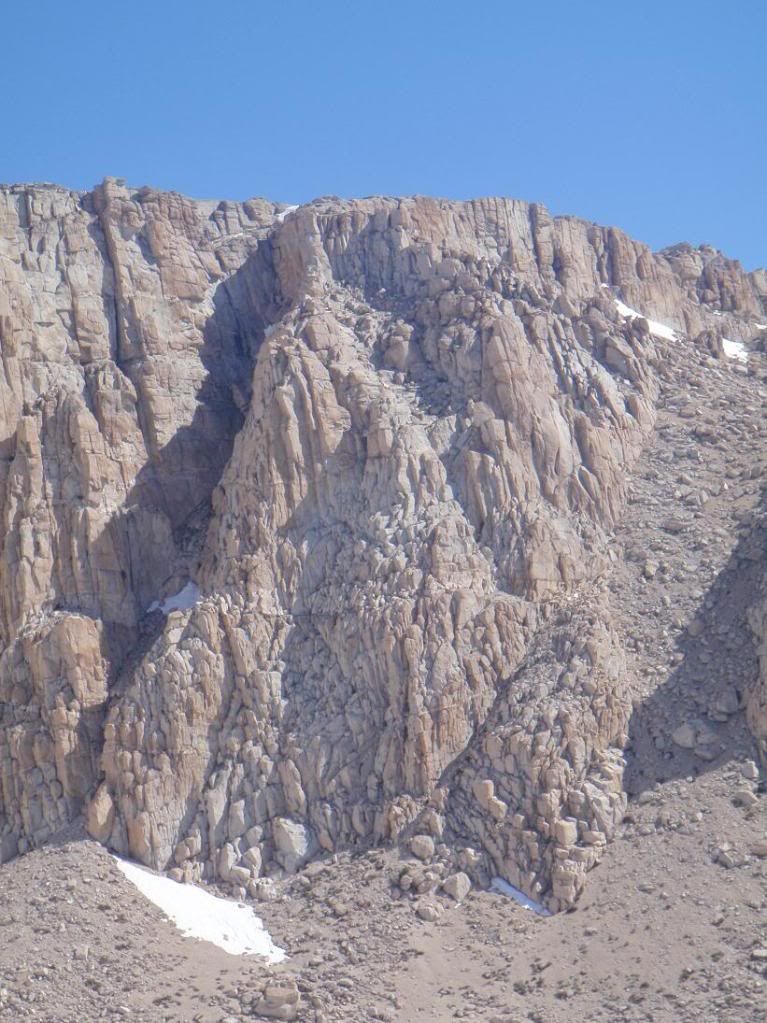
Headwall. Wonder if there are any/many routes up it? Bully Pulpit is the little diving board up top.
Image
Image
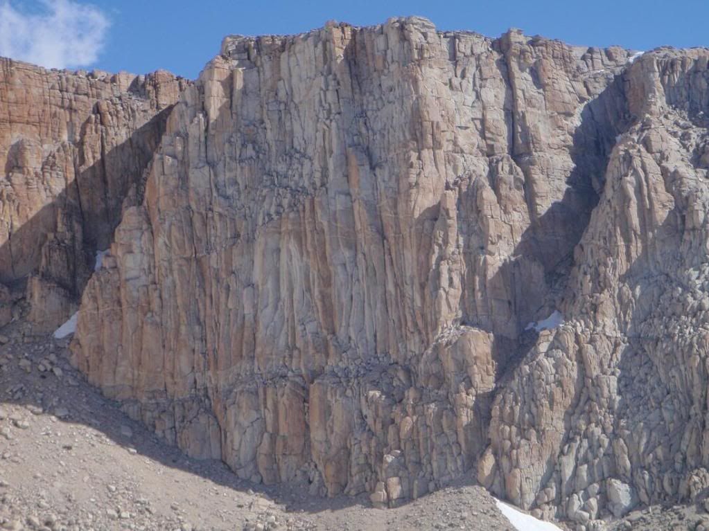
Possibilities... :-)

Image
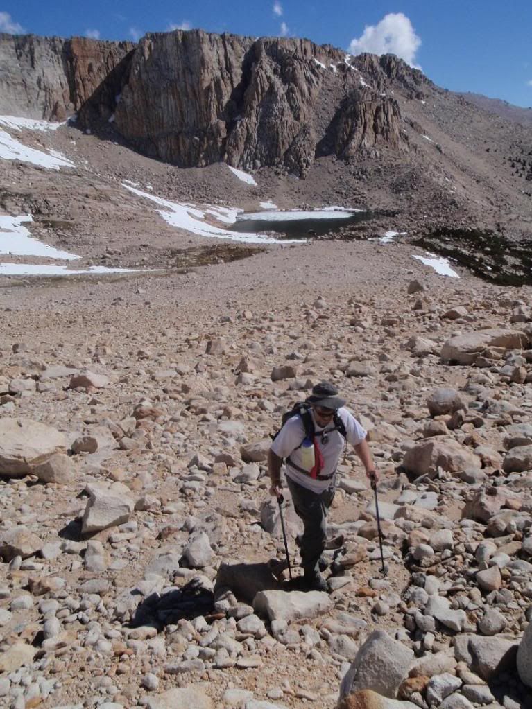
My personal favorite shot I took. Patrick (lilbitmo) hiking up the north face of Cirque.
Image
Up!

Image
Yet more up.

Image
New Army Headwall

Image
North Ridge

Image
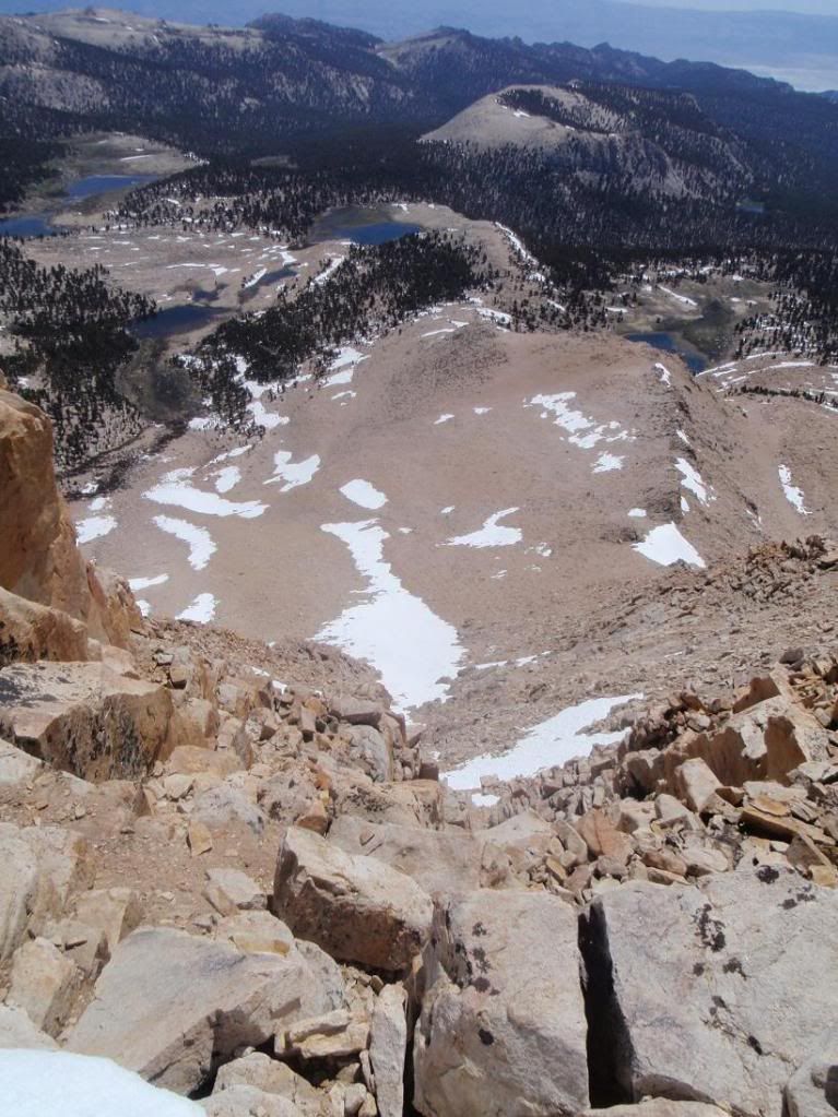
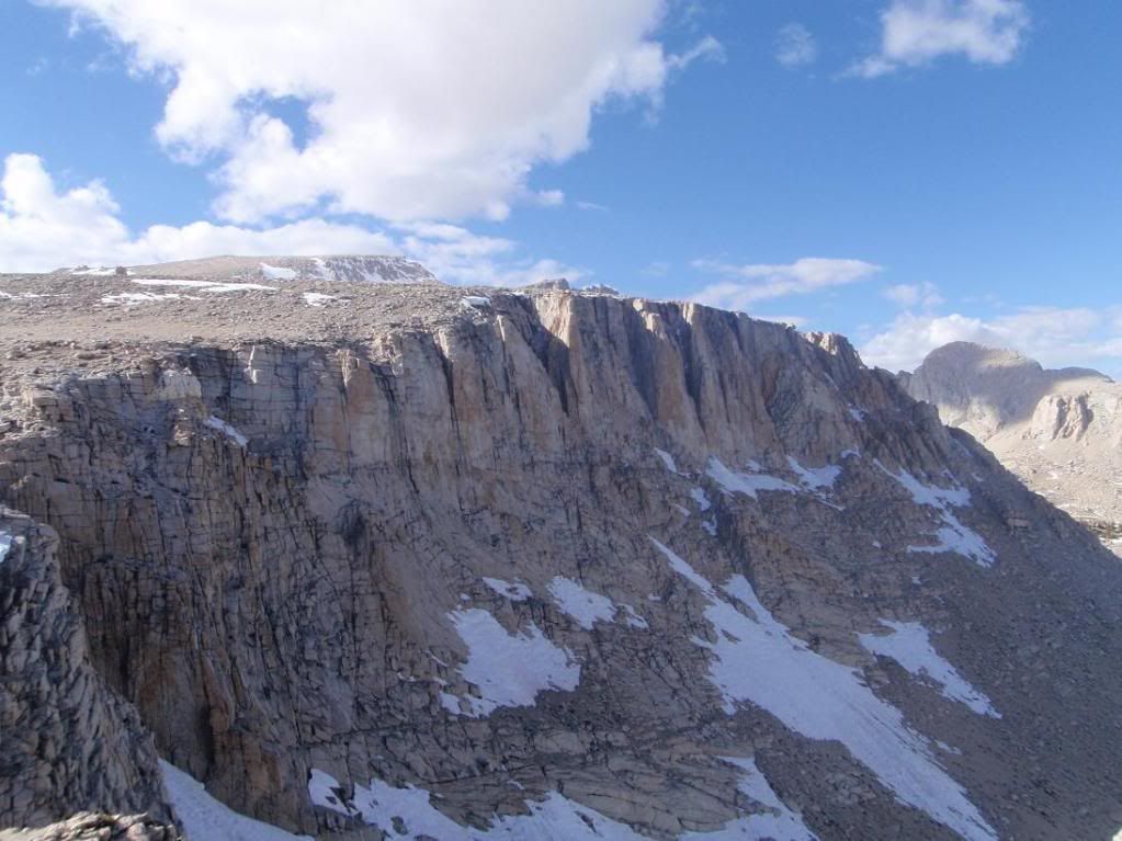
Looking down the east face

Image
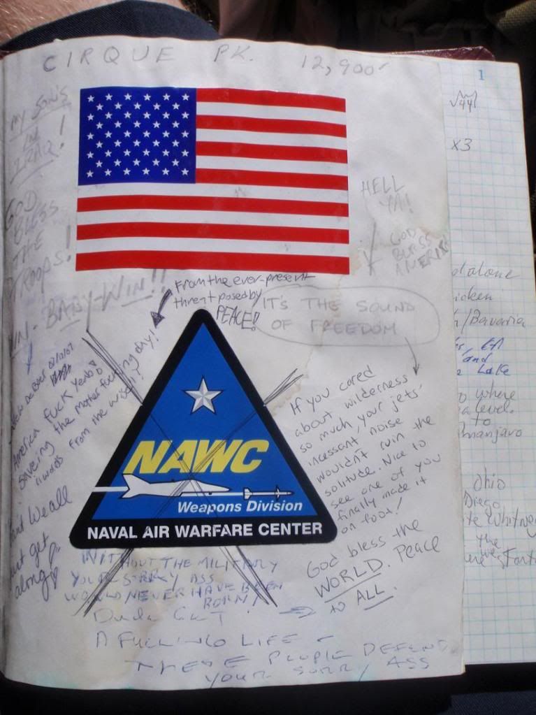
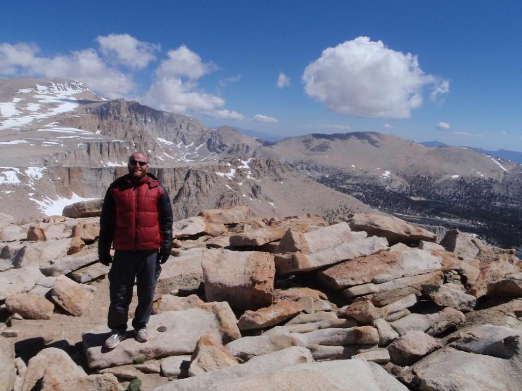
Gimme a break. Those who supposedly want peace so badly create conflict by crossing out stickers for Military units. Grow up.
Image
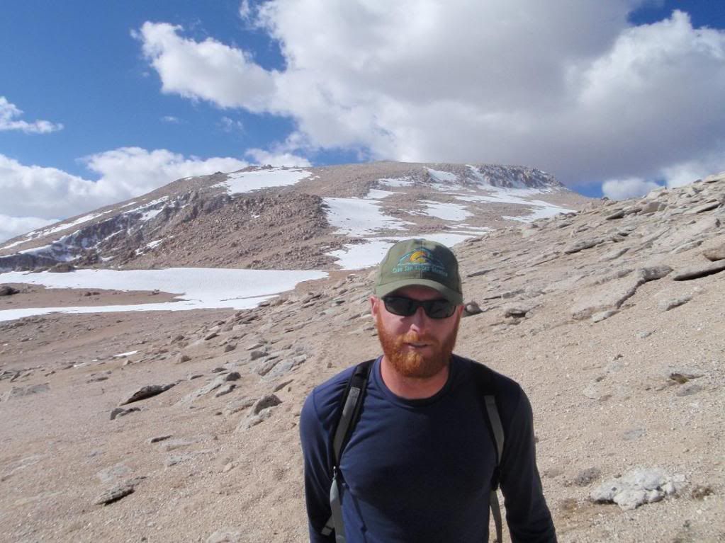
Zach!

Image
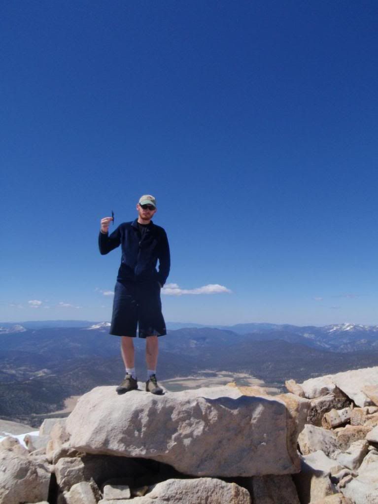
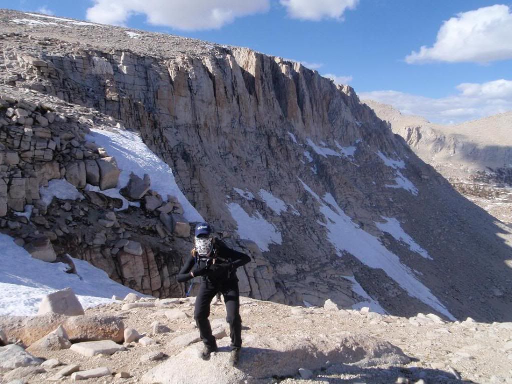
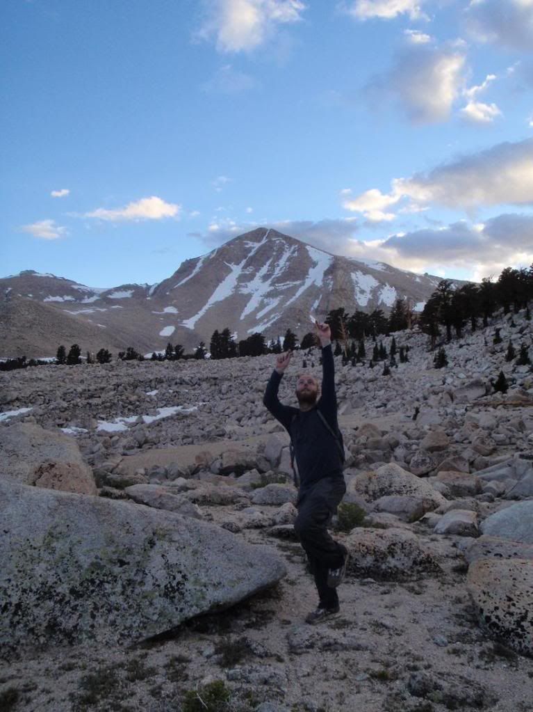
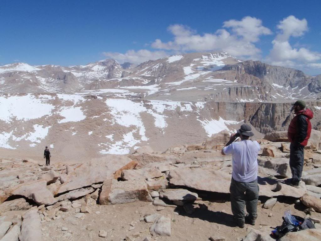
Myself doing a knife advertissement up top.
Image
Everybody

Image
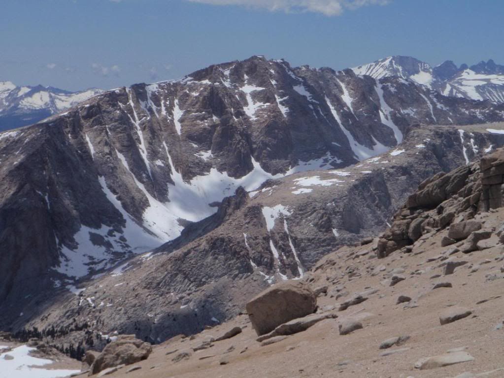
Old Army Headwall

Image
Joe Devel Peak

Image
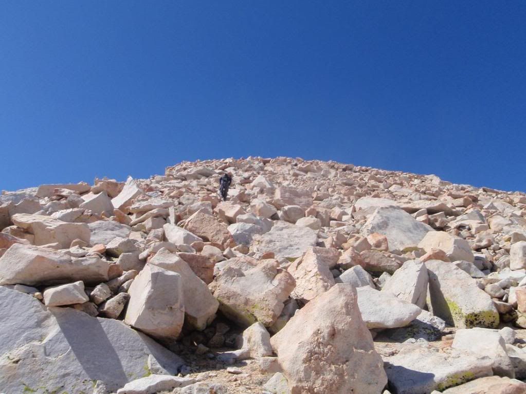
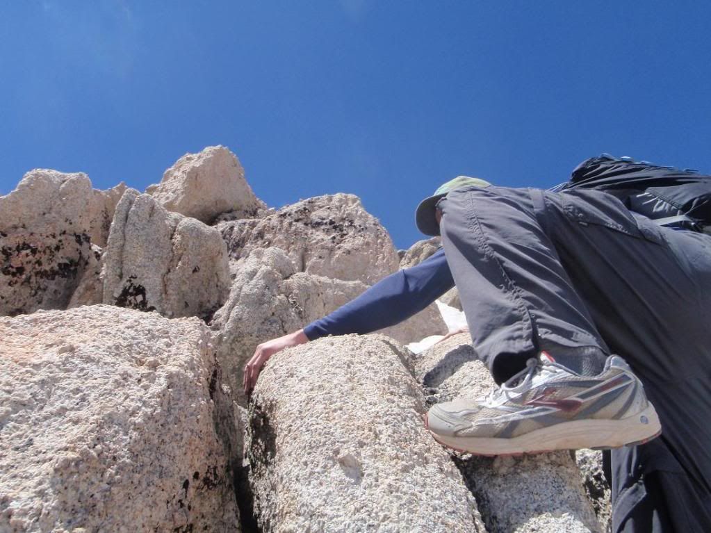
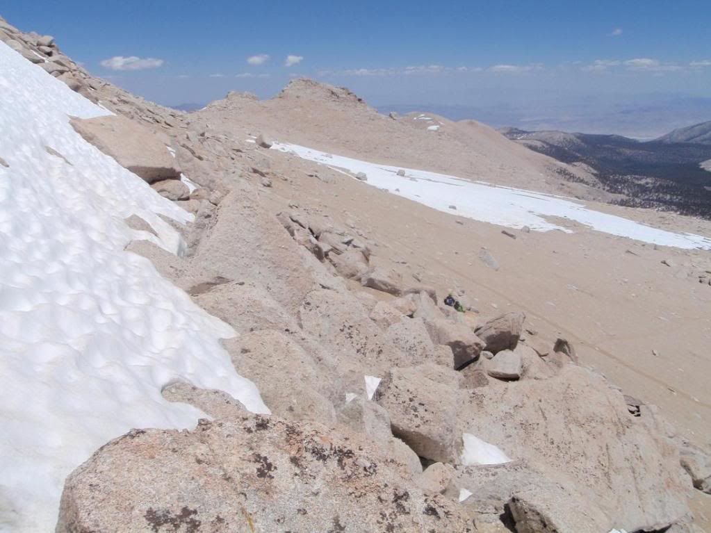
Zach attacking a scrambling portion on the way up to the summit of Langely.
Image
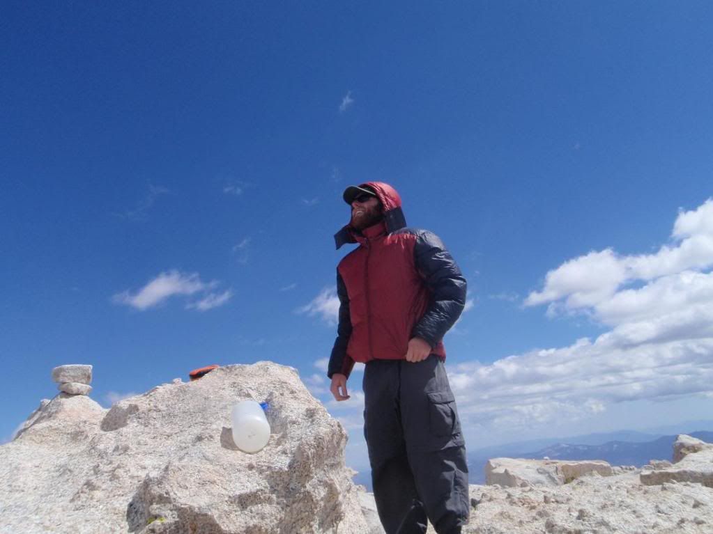
Patrick and Tina in the scrambling bit.
Image
Image
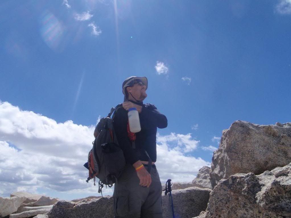
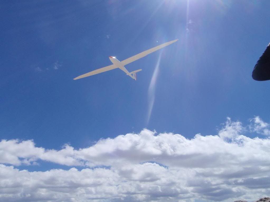
Zach and Patrick on the summit. Patrick's 3rd time.
Image
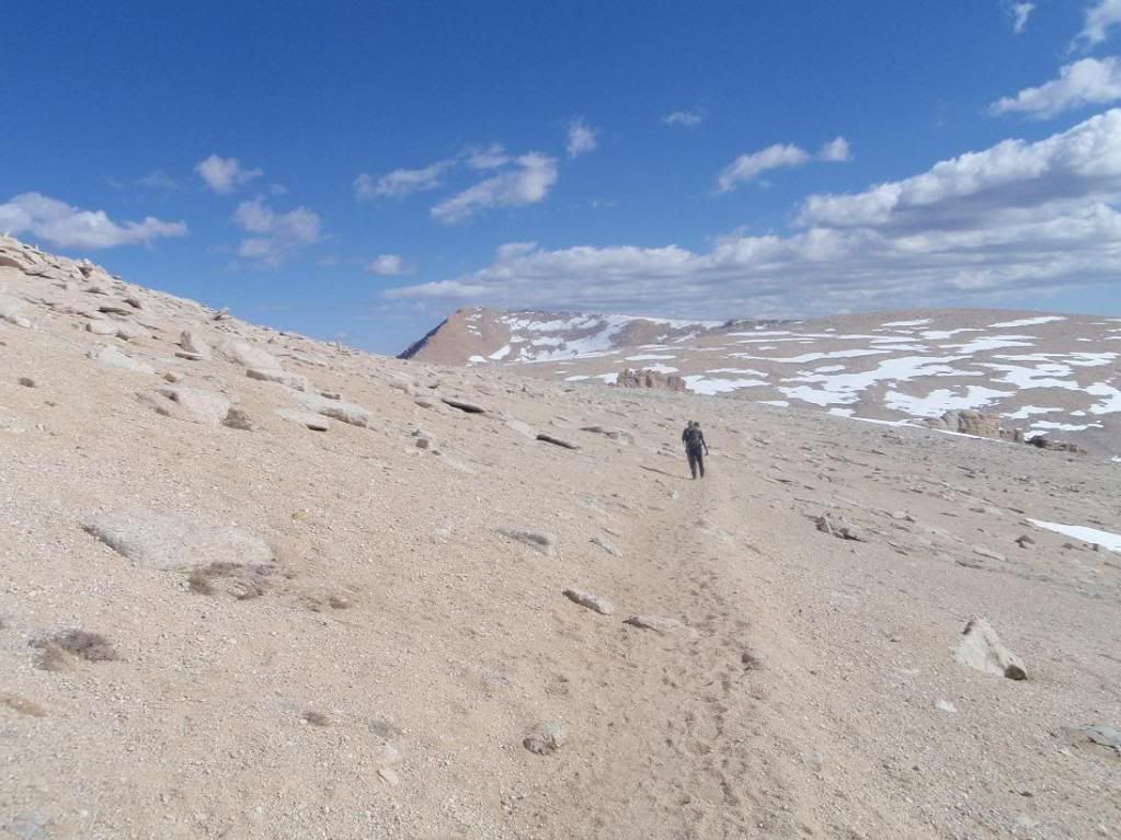
WHOOOOOOOOOOOOOOOOOOOOOOSH! Scared the shit out of me while I was trying to keep from throwing up.
Image
Going home

Image
Zach

Image
Tina reppin' tha wessssside!!!!

Image
Stuff

Image
Patrick at the base of New Army pass

Image
Want climb

Image
Also want climb

Image
Zach doing something

Image
Crag-o-rama

So, two peaks, 32 miles? #ft elevation gain/loss?
User avatar
Elwood
Posts: 613
Joined: Fri Aug 15, 2008 5:23 pm

Post by Elwood »

Nice pictures and report. Love the Sierra! Sorry you weren't feelin' so hot.
User avatar
Taco
Snownado survivor
Posts: 6037
Joined: Thu Sep 27, 2007 4:35 pm

Post by Taco »

I was thinking of your 30 mile + hikes on this one, Elwood. 8)
User avatar
norma r
Posts: 707
Joined: Thu Nov 06, 2008 4:22 pm

Post by norma r »

Great photos Taco! Great job on an ambitious hike Taco, Zach, Patrick and Tina!! Thirty miles? Yikes! Even my feet would have felt sick on that one!!! With 30 miles and 15 plus hours of scrambling, i bet you ALL went through waves of pain and suffering. No wimps on that hike!

Those headwall photos are awesome. I'm gonna have to pay more attention to them next time i'm up there. and... "possibilities." I like the way you think Ryan! :wink:
User avatar
lilbitmo
Posts: 1092
Joined: Tue Mar 04, 2008 9:44 pm

Post by lilbitmo »

Nice work everyone, though it was a long and slightly painful day it was one of the classic hikes we've done. :D The hardest part for me was that 400+ feet back up to New Army Pass from Old Army Pass after it was agreed to go back down the safer way and that last mile or so getting back to the truck - my mind was saying keep going but my bady was laughing "Where do you think you're going" :shock:

The snow is melting fast even in the high country but it was nice to stomp through a few spots in my boots where as everyone else was wearing trail shoes so they avoided most of it - except when they had no choice.

All and all great 22 hour day from wake up at the trail head till I walked through the door at home - I slept half the day away :shock:

My pictures here
User avatar
Taco
Snownado survivor
Posts: 6037
Joined: Thu Sep 27, 2007 4:35 pm

Post by Taco »

Cool pics, Patrick. 8)
User avatar
Johnny Bronson
Posts: 179
Joined: Mon May 31, 2010 2:04 pm

Post by Johnny Bronson »

Super crag o rama adventure central O_O

very Kool stuff and sweet pics from everyone =D

Mr Taco Zubat glad you were ok and got over your sickness quickly ,those damn pills man! :/
User avatar
tinaballina
Posts: 182
Joined: Thu Jun 18, 2009 11:28 am

Post by tinaballina »

It was a great trip...topped out on my mileage...32 is the longest i have gone. it was so nice to get home and shower and sleep all day.
thanks again ryan, patrick and zach.
User avatar
EManBevHills
Posts: 387
Joined: Fri Sep 28, 2007 12:40 am

Post by EManBevHills »

Nice day, y'all!

Patrick, are you really changing your handle to lilbitmopain?
User avatar
TracieB
Posts: 216
Joined: Mon Feb 22, 2010 8:57 am

Post by TracieB »

Nice TR and Pix! Thanks for sharing!!

Taco, if it's any consolation, I wasn't feeling so hot, either. :( sorry we missed you all up there.
User avatar
tinaballina
Posts: 182
Joined: Thu Jun 18, 2009 11:28 am

Post by tinaballina »

TracieB wrote:Nice TR and Pix! Thanks for sharing!!

Taco, if it's any consolation, I wasn't feeling so hot, either. :( sorry we missed you all up there.
Patrick mentioned you were up there, too bad we missed you tracie.
User avatar
Dave G
Posts: 321
Joined: Sun Jun 22, 2008 9:51 am

Post by Dave G »

High quality work, guys! You really know how to squeeze the most out of a day hike and do it in fine style!
I can relate to what Patrick said about the trek back up to New Army. The same thing happened to me when, after a coin toss, my partner and I left our axes in the car and Old Army was icing up in the PM. Sometimes doing "the safe and responsible thing" is helluva lot of extra work!
Ryan, I have some info on those climbing routes somewhere. If I can dig it up I'll send it over.
User avatar
Taco
Snownado survivor
Posts: 6037
Joined: Thu Sep 27, 2007 4:35 pm

Post by Taco »

Thanks all.

Thanks Dave! I'd dig any info/topos of the area.
User avatar
snmtbaldy
Posts: 66
Joined: Tue Nov 24, 2009 7:01 pm

Post by snmtbaldy »

Hi Ryan,
Congratulations to Patrick,Zach,and Tina,too!!!!

Mark and I were at Horseshoe meadow on 24th and hiked up Cottonwood lake.

I got a secret mission form lady T. on 25th to put your two stickers at Mt. Whitney summit register box. The mission is accomplished. I joined with 8 other people to climb Mt. Whitney/MR and it was my very first MR and I made it.

Looking at your pictures, my next target will be two mountains you guys just
finished.

Keep on opening up new adventure options for us.

Shin
User avatar
cougarmagic
Posts: 1409
Joined: Wed May 07, 2008 5:21 pm

Post by cougarmagic »

100% kickass.

Congrats! You guys are a huge inspiration.
User avatar
Taco
Snownado survivor
Posts: 6037
Joined: Thu Sep 27, 2007 4:35 pm

Post by Taco »

Thanks Shin! :lol:
User avatar
snmtbaldy
Posts: 66
Joined: Tue Nov 24, 2009 7:01 pm

Post by snmtbaldy »

Hi Taco,
I couldn't attach the picture because it is too big but I forwarded to lady T.
Shin
User avatar
Taco
Snownado survivor
Posts: 6037
Joined: Thu Sep 27, 2007 4:35 pm

Post by Taco »

Do you have a photobucket or other photo hosting site?
User avatar
snmtbaldy
Posts: 66
Joined: Tue Nov 24, 2009 7:01 pm

Post by snmtbaldy »

Hi Taco,
This is it.
Shin
Image
User avatar
Taco
Snownado survivor
Posts: 6037
Joined: Thu Sep 27, 2007 4:35 pm

Post by Taco »

:twisted:
User avatar
simonov
Posts: 1087
Joined: Tue Nov 27, 2007 5:44 pm
Location: Reno, NV
Contact:

Post by simonov »

When I was on Langley last year, I thought about going up and doing Cirque this year. It never occurred to me to do both in one day! :shock:
Nunc est bibendum
User avatar
Zach
Posts: 522
Joined: Sun Jan 04, 2009 4:25 pm

Post by Zach »

I had a great deal of fun on this hike. Thanks to everyone for coming along and GigaMike for the good beta. The thing is, when I looked at the topos and kind of pulled the idea together, I was more concentrating on the total elevation gain than worrying about how many miles we'd have to hump. I think in actuality the elevation gain is no more than ~5500ft, that being said, I didn't stop to thing that all of the mileage is done above 10,000ft elevation and about half of that is above 12,000ft. I think for me it was the altitude that was more of a challenge than the mileage.

PS: Tina, I apologize for telling you it was going to be a nice relaxing weekend :lol: :lol: :lol:
User avatar
TracieB
Posts: 216
Joined: Mon Feb 22, 2010 8:57 am

Post by TracieB »

30 miles is really a long, long day - 30 miles above 10K - that is kick A$$.

Congratulations again...
User avatar
TracieB
Posts: 216
Joined: Mon Feb 22, 2010 8:57 am

Post by TracieB »

snmtbaldy wrote:Hi Taco,
This is it.
Shin
Image
Shin, you are my hero! Bwaahhaa!!! :P
User avatar
tinaballina
Posts: 182
Joined: Thu Jun 18, 2009 11:28 am

Post by tinaballina »

Zach wrote:I had a great deal of fun on this hike. Thanks to everyone for coming along and GigaMike for the good beta. The thing is, when I looked at the topos and kind of pulled the idea together, I was more concentrating on the total elevation gain than worrying about how many miles we'd have to hump. I think in actuality the elevation gain is no more than ~5500ft, that being said, I didn't stop to thing that all of the mileage is done above 10,000ft elevation and about half of that is above 12,000ft. I think for me it was the altitude that was more of a challenge than the mileage.

PS: Tina, I apologize for telling you it was going to be a nice relaxing weekend :lol: :lol: :lol:
My legs were fine the next day so its all good. it was a great trip, i am glad i did it. plus, being taco's first 14er, we all popped his cherry on that one.
User avatar
GigaMike
Posts: 164
Joined: Sun Feb 24, 2008 4:37 pm

Post by GigaMike »

Congrats Ryan, Tina, Zach and Partick!

Which route did you take from Cirque to Langley?

Ryan- Welcome to the high altitude climbing headaches and nausea :wink:
User avatar
tinaballina
Posts: 182
Joined: Thu Jun 18, 2009 11:28 am

Post by tinaballina »

Giga....thanks for the 411 on the route. i will let the guys tell you the route, this would be my description:
took the trail, crossed a river runs through it. ended up going around lake number 5 or 6. crossed another stream and started up the boulders. went up tagged the peak, came down walked across that long looking ridge (plateau) which wasn't as long as it looks. then down into some valley, crossed some snow then started our ascent up langley. we wont even talk about going down that's a whole other ball game.
the end.
User avatar
lilbitmo
Posts: 1092
Joined: Tue Mar 04, 2008 9:44 pm

Post by lilbitmo »

GigaMike wrote: Which route did you take from Cirque to Langley?
We took the Cottonwood Lakes Trail until it split, we then crossed over to the south of the Creek heading towards New Army Pass, after going around the north end of Long Lake (it was extremely mushy and muddy on the southwest side and we took this way back but paid the price of wet feet - just asked Zach) heading in a slightly west by south west direction crossing over a small sub ridge at 11,400 feet, it flattened out for about 100 yards then went straight up the Southeastern Flank of Cirque, there's a faint use trail inbetween all the boulders and lot's of boulder hopping here. It's a 1,400 foot boulder scramble to the summit, once on top we did the complete circumnavigation of the bowl that seperates Cirque Peak Summit and New Army Pass topout, you drop 400 feet as you travel in a half circle around this bowl approximately 1.6 miles or so, then we headed do north across the "High plains" where you loose another 500 feet to grab the trail that comes up and over "Old Army Pass" from there it was the usual 1,200 feet of non-stop sandy crawl to the rocks just to the west of the base of Langley. We then did a 200 foot boulder scramble up to the north and picked our way from there all the way East to the summit.

Returning we went to Old Army and looked down, the snow was enough to make it slightly too risky to do the snow post holing, so we climbed back up to New Army and made our way through the wet lands that seperated Long Lake and the base of Cirque Peak - we all get some seriously wet feet.

I'm thinking that next time I go up, I will start at the other trialhead and go over Cotton Wood Pass, then turn northwest and just gain the ridgeline that covers all those sub-peaks (peaklets) and just approach Cirque that way and keep going all the way to Langley.

It was a great day :D
see map here, hope it comes out?
User avatar
tinaballina
Posts: 182
Joined: Thu Jun 18, 2009 11:28 am

Post by tinaballina »

patricks route is a bit more detailed....i am still liking mine.
User avatar
jjpicts
Posts: 18
Joined: Wed Feb 03, 2010 2:56 pm

Post by jjpicts »

Lilbitmo,
Cottonwood pass is the way we went up Sat. We just traversed the ridge in the morning headed to Langley (you guys interrupted a roving snowball fight when we met on the way down). We hit Cirque on the way back. My GPS said about 25 miles and 6000 gain that way.
Post Reply