I felt great until a while before the summit of Langely. I took my RX migraine pill to knock out the headache I started to get, and also took some RX painkiller. The painkiller was great at first, but I think it made the altitude sickness about a billion times worse. Felt better as we went further down, until a few miles from the car when it got even worse. Finally felt good when we got into Lone Pine.
Fiddled around with a Pine Borer Beetle that Patrick found in the Carl's Jr parking lot. Flipped it over a few times and it screamed at me a lot. Crazy little bastards.
Thanks for waiting up for me while I felt like I was being run over by trucks, guys.
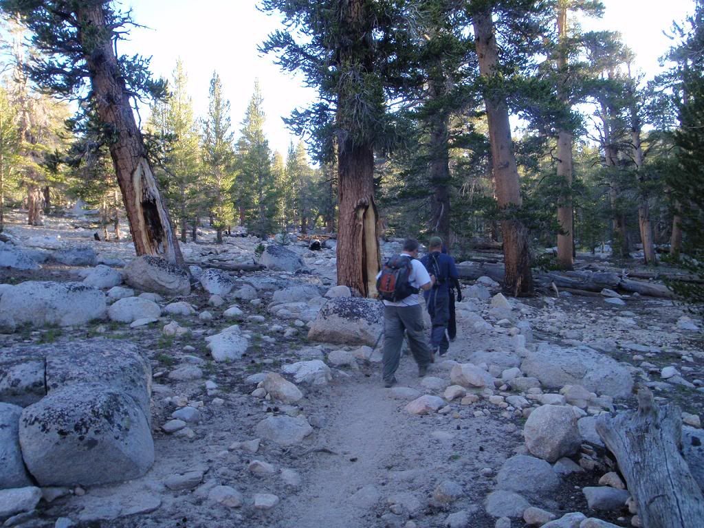
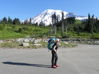
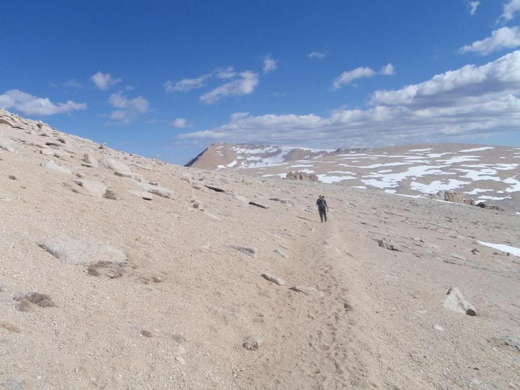
Hike in
Crizag
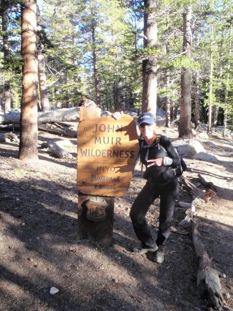
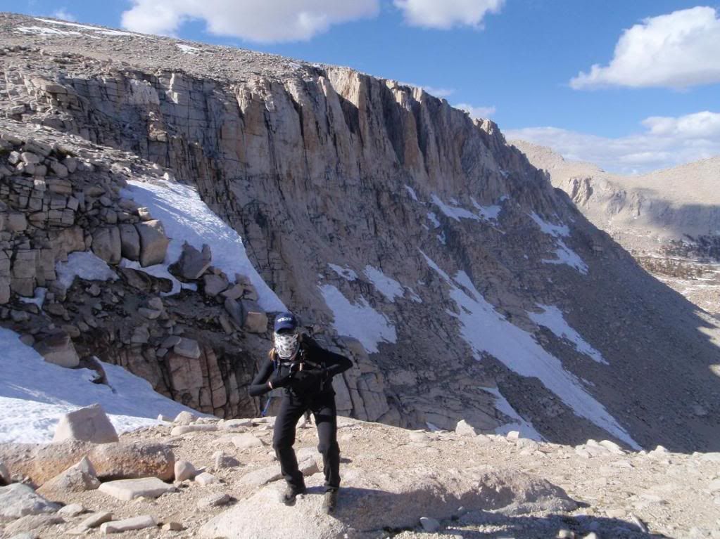
Tina
Walk the walk
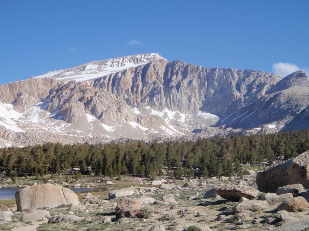
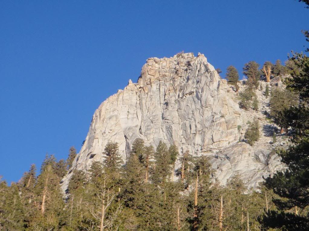
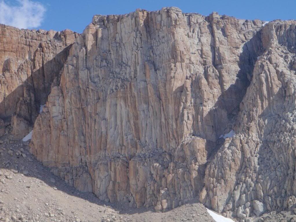
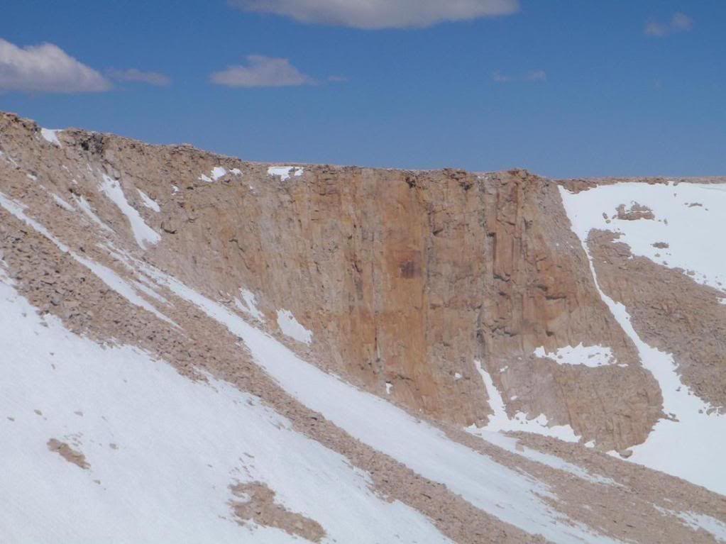
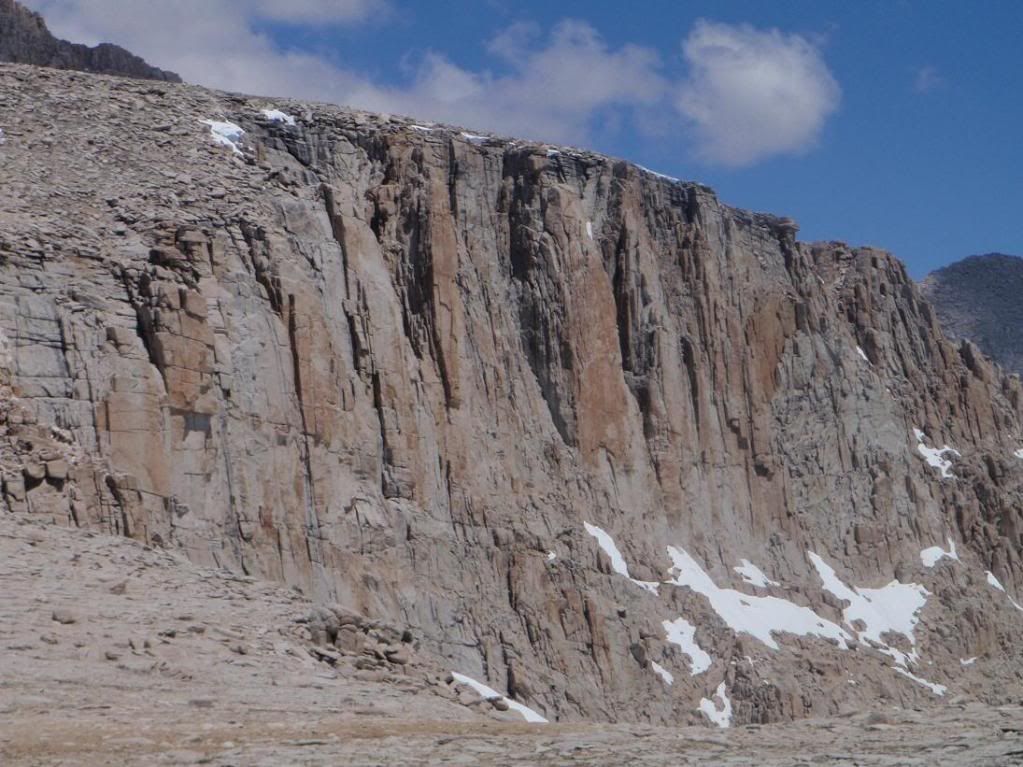
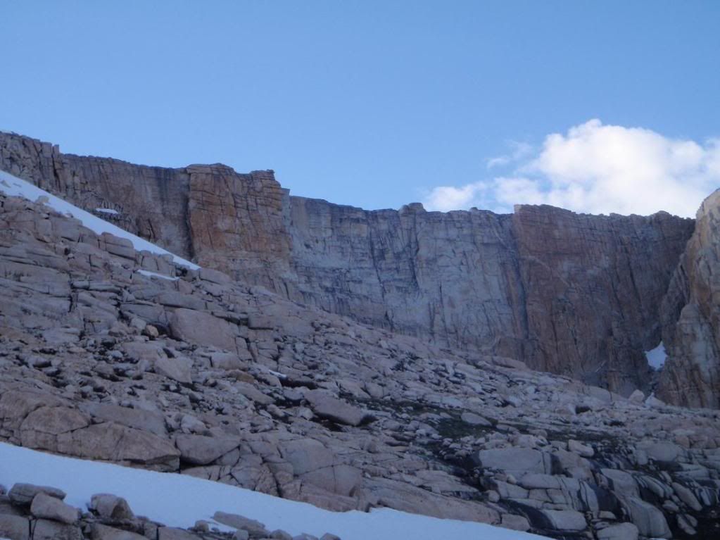
Langely South Face
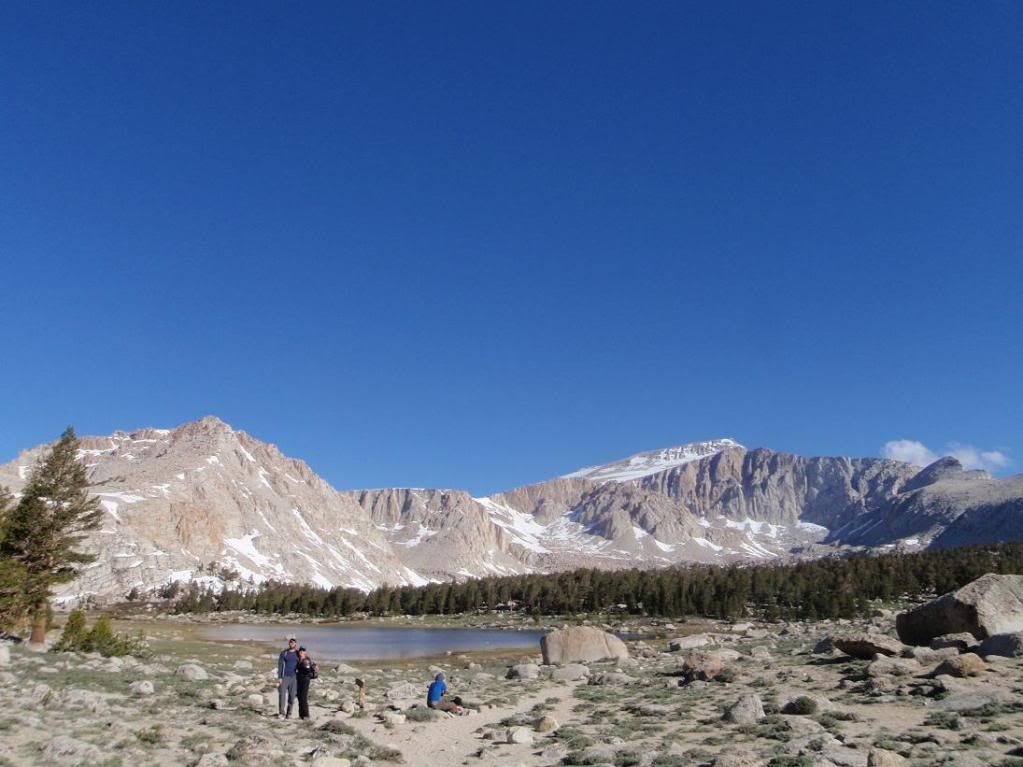
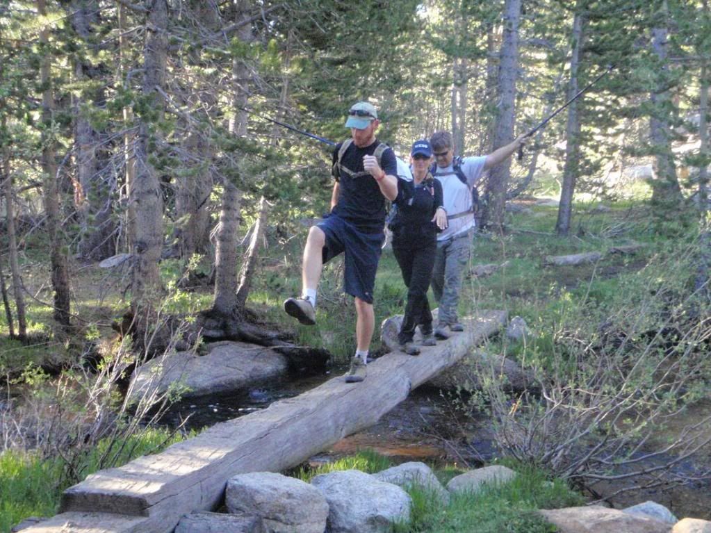
Zach, Tina, and some dude.
Cirque East Face. We ended up hiking up the north slope/face. I tried to stick somewhat close to the north ridge, but it was rather loose. Not San Gabriel loose with little rocks and short falls, but big loose with oh-shit moments kinda stuff.
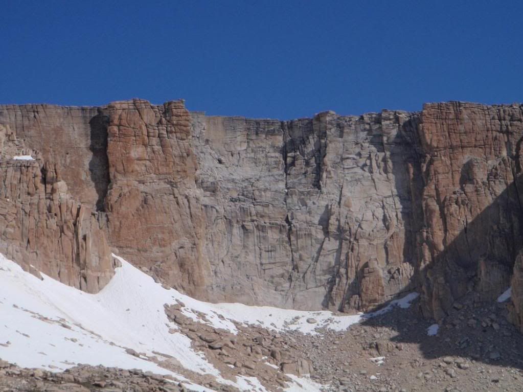
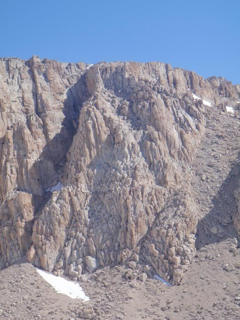
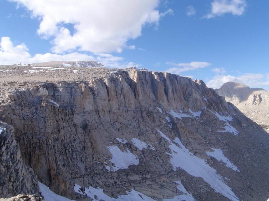
Headwall. Wonder if there are any/many routes up it? Bully Pulpit is the little diving board up top.
Possibilities...
My personal favorite shot I took. Patrick (lilbitmo) hiking up the north face of Cirque.
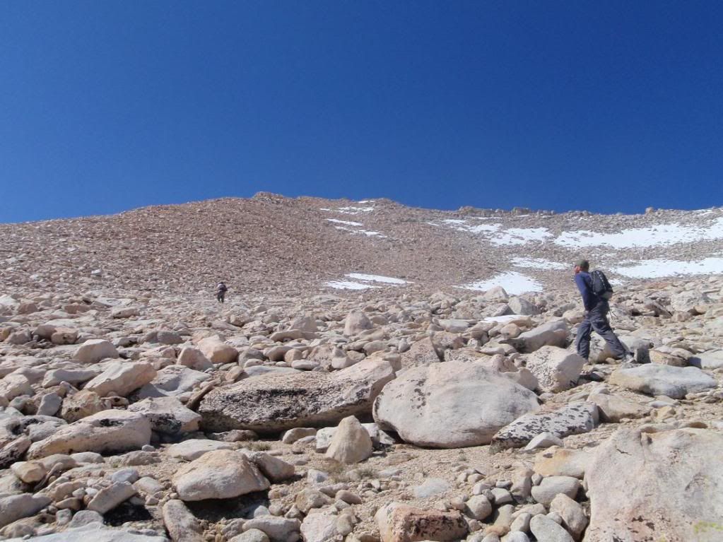
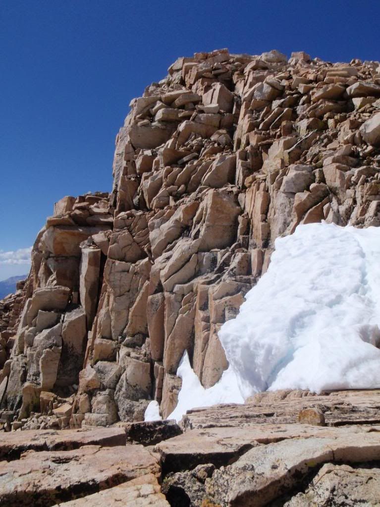
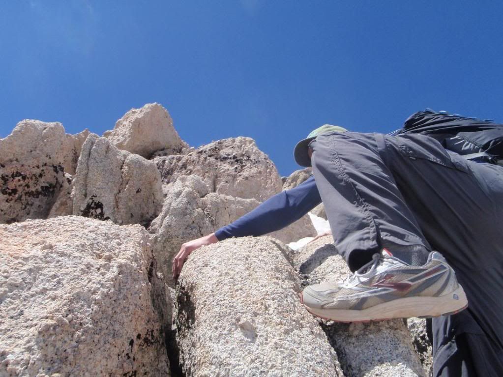
Up!
Yet more up.
New Army Headwall
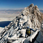
North Ridge
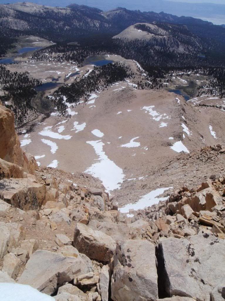
Looking down the east face
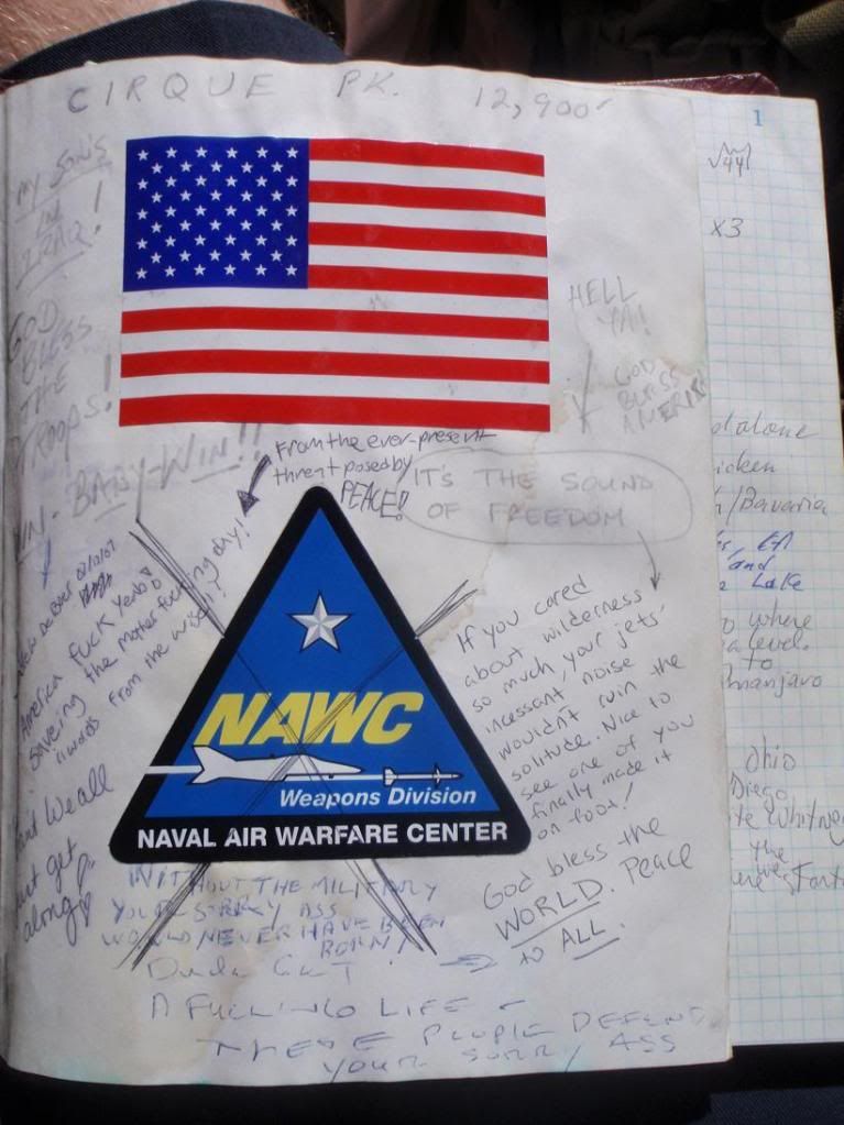
Gimme a break. Those who supposedly want peace so badly create conflict by crossing out stickers for Military units. Grow up.
Zach!
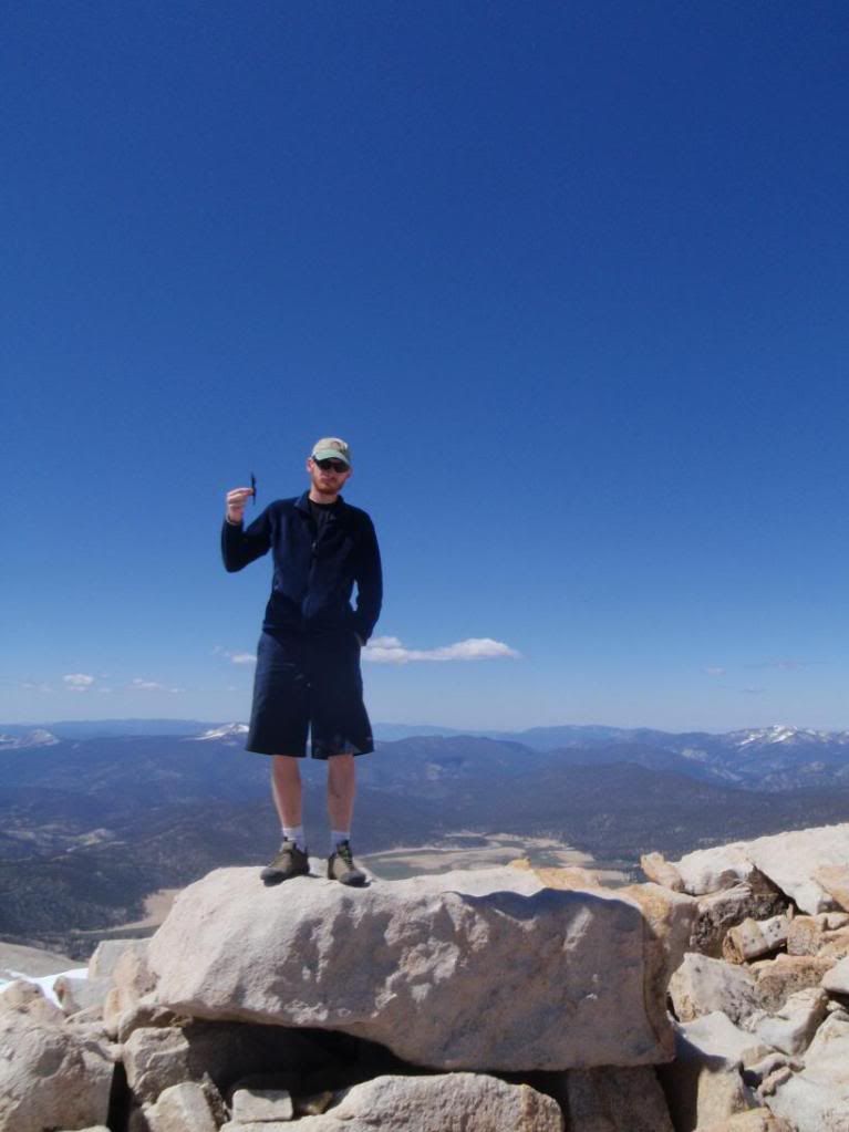
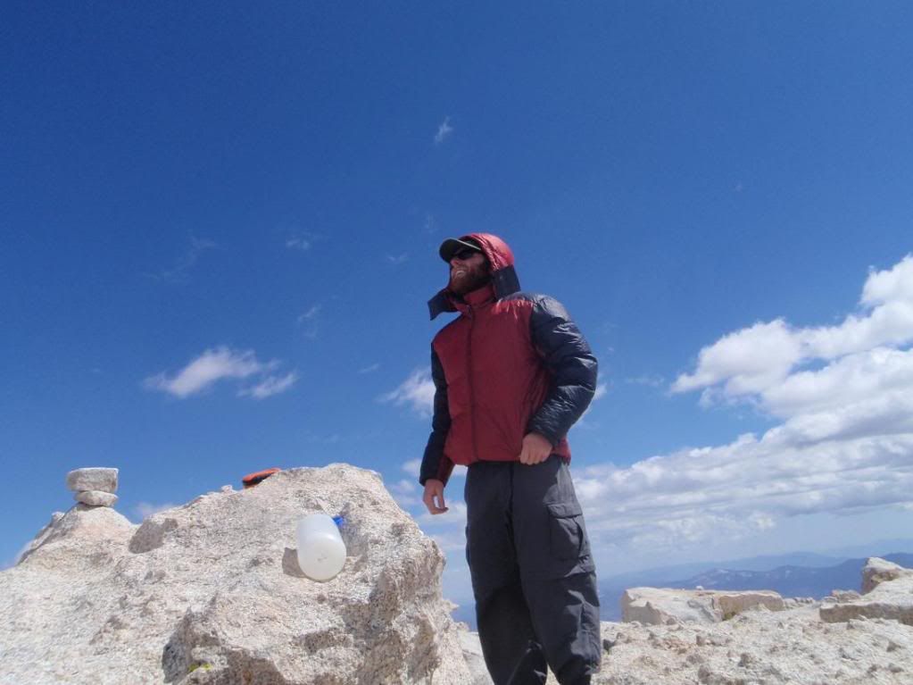
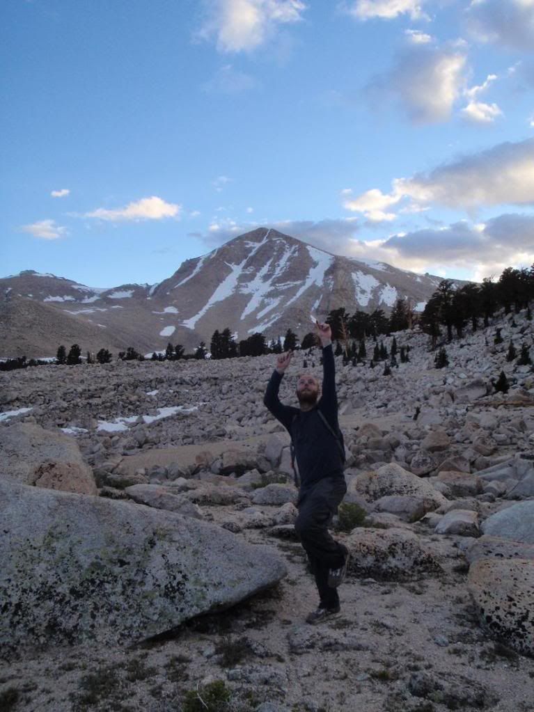
Myself doing a knife advertissement up top.
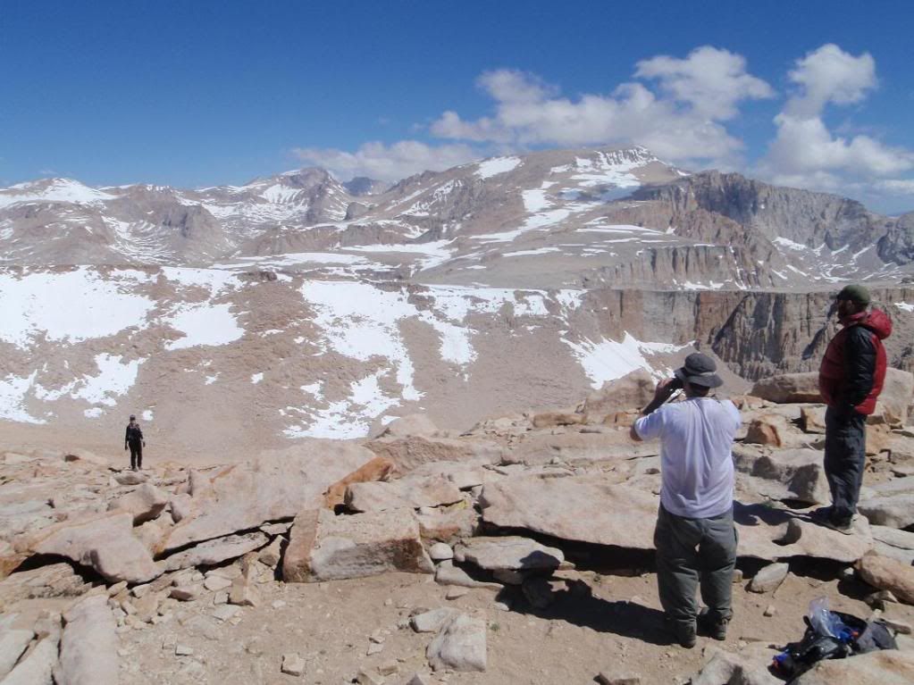
Everybody
Old Army Headwall
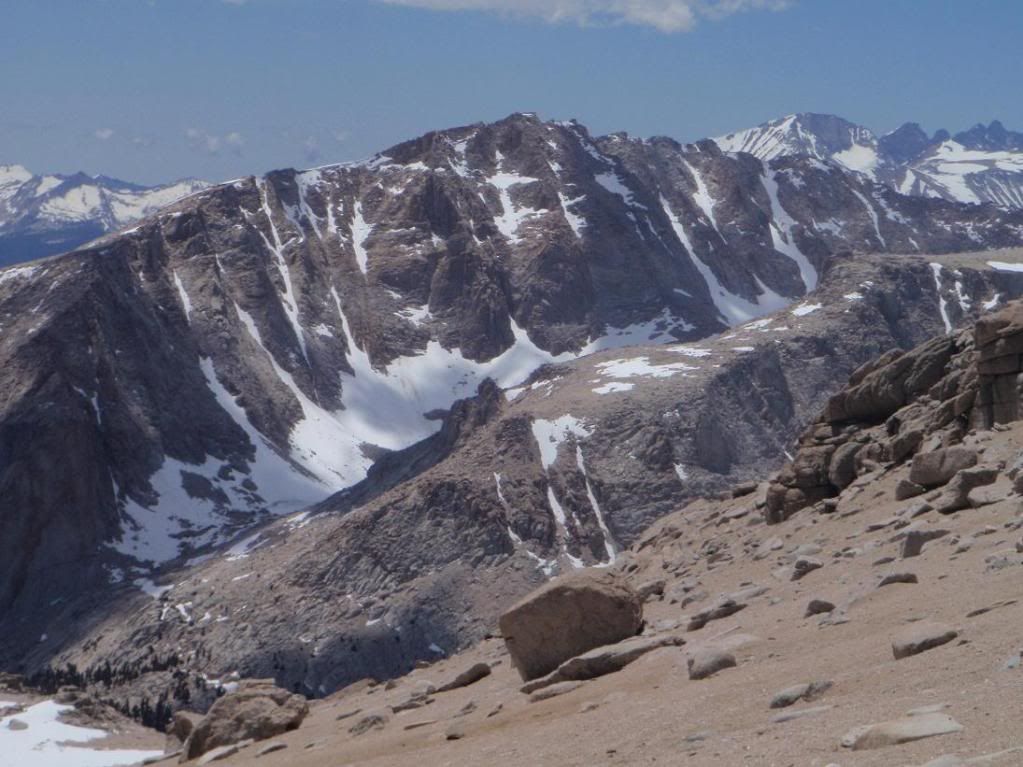
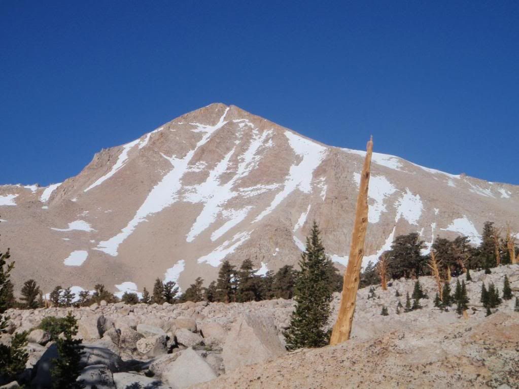
Joe Devel Peak
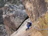
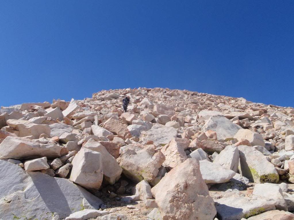
Zach attacking a scrambling portion on the way up to the summit of Langely.
Patrick and Tina in the scrambling bit.
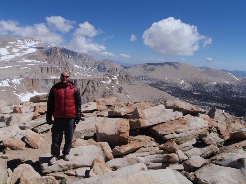
Zach and Patrick on the summit. Patrick's 3rd time.
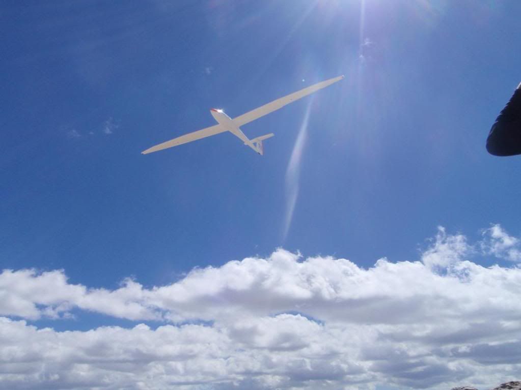
WHOOOOOOOOOOOOOOOOOOOOOOSH! Scared the shit out of me while I was trying to keep from throwing up.
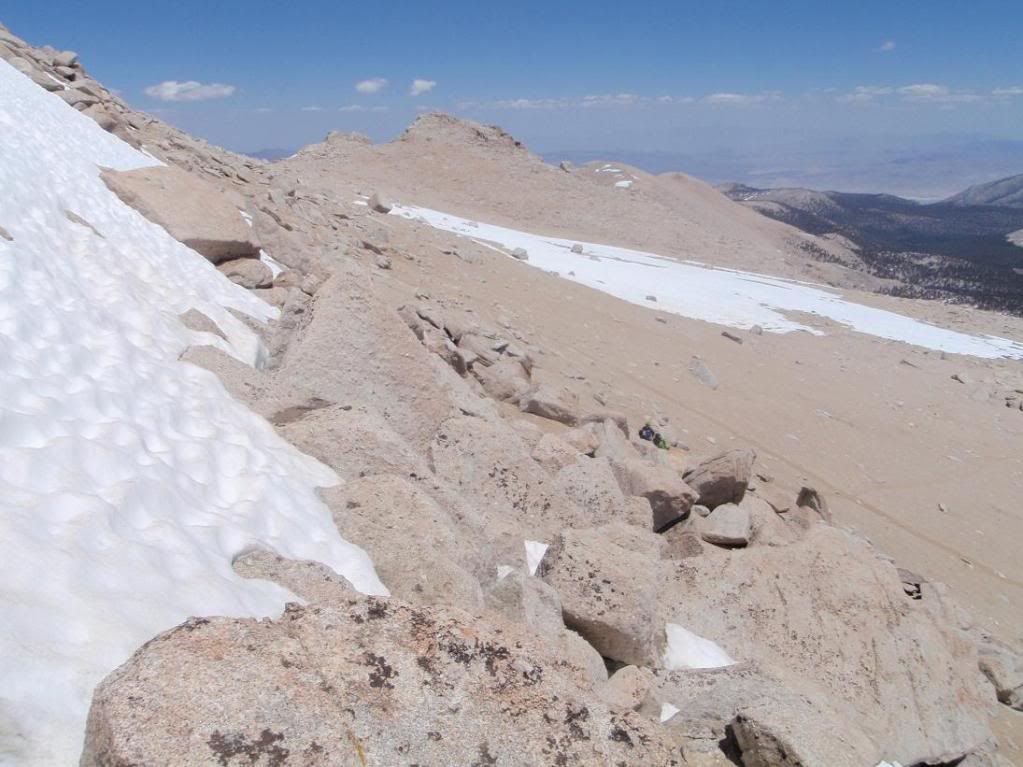
Going home
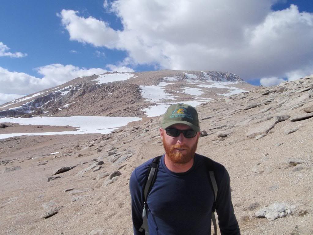
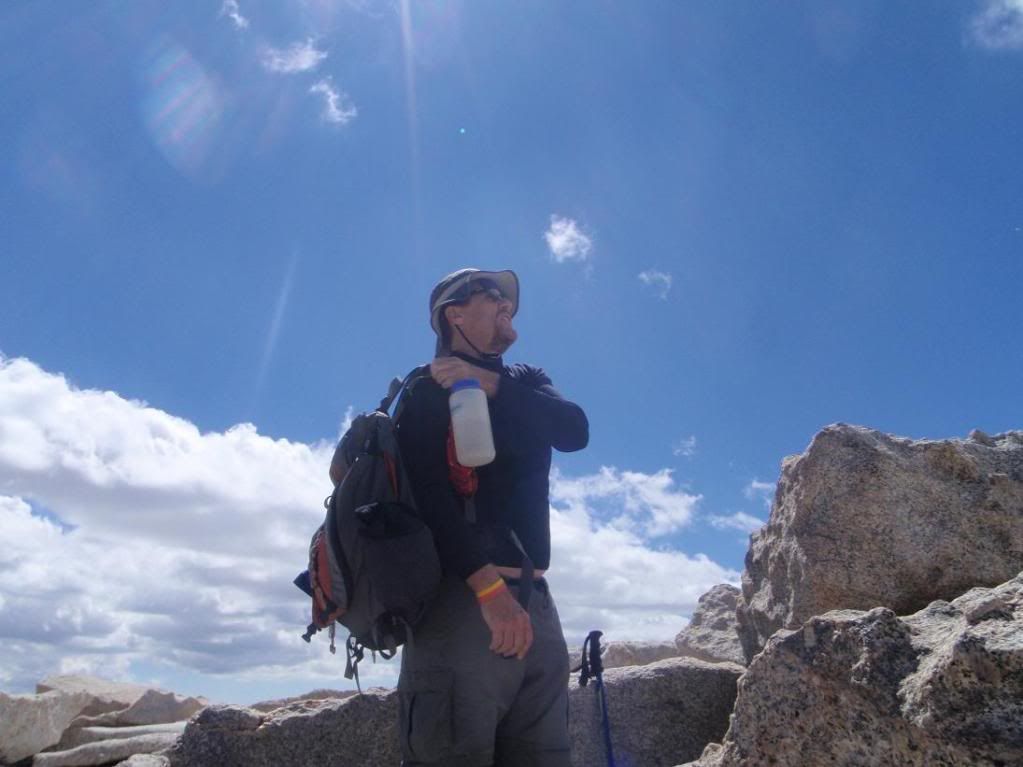
Zach
Tina reppin' tha wessssside!!!!
Stuff
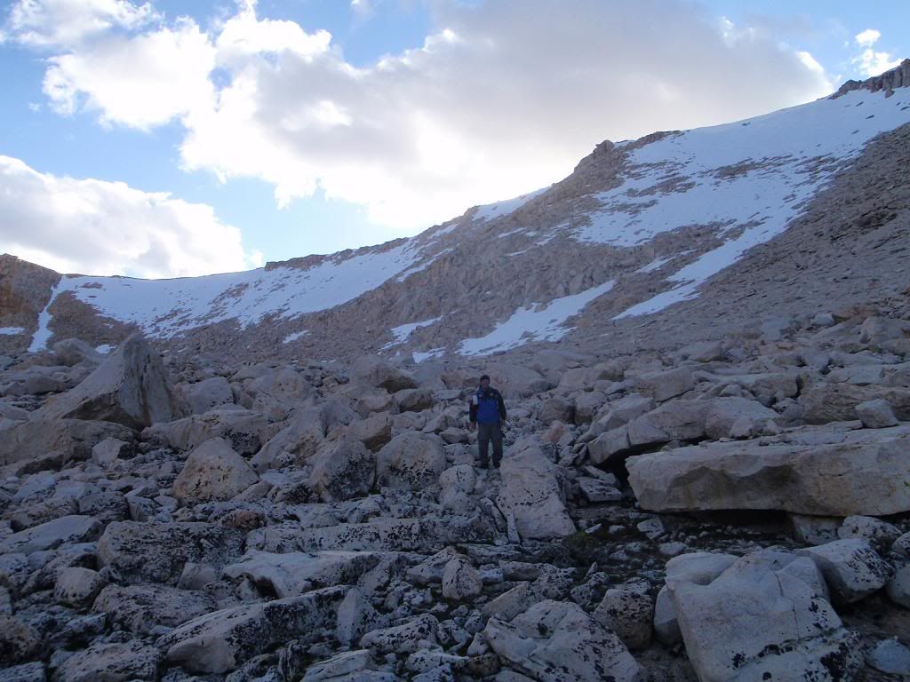
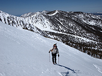
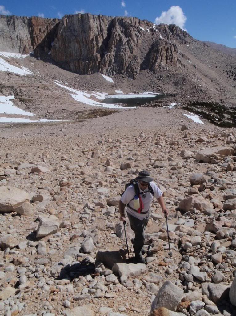
Patrick at the base of New Army pass
Want climb
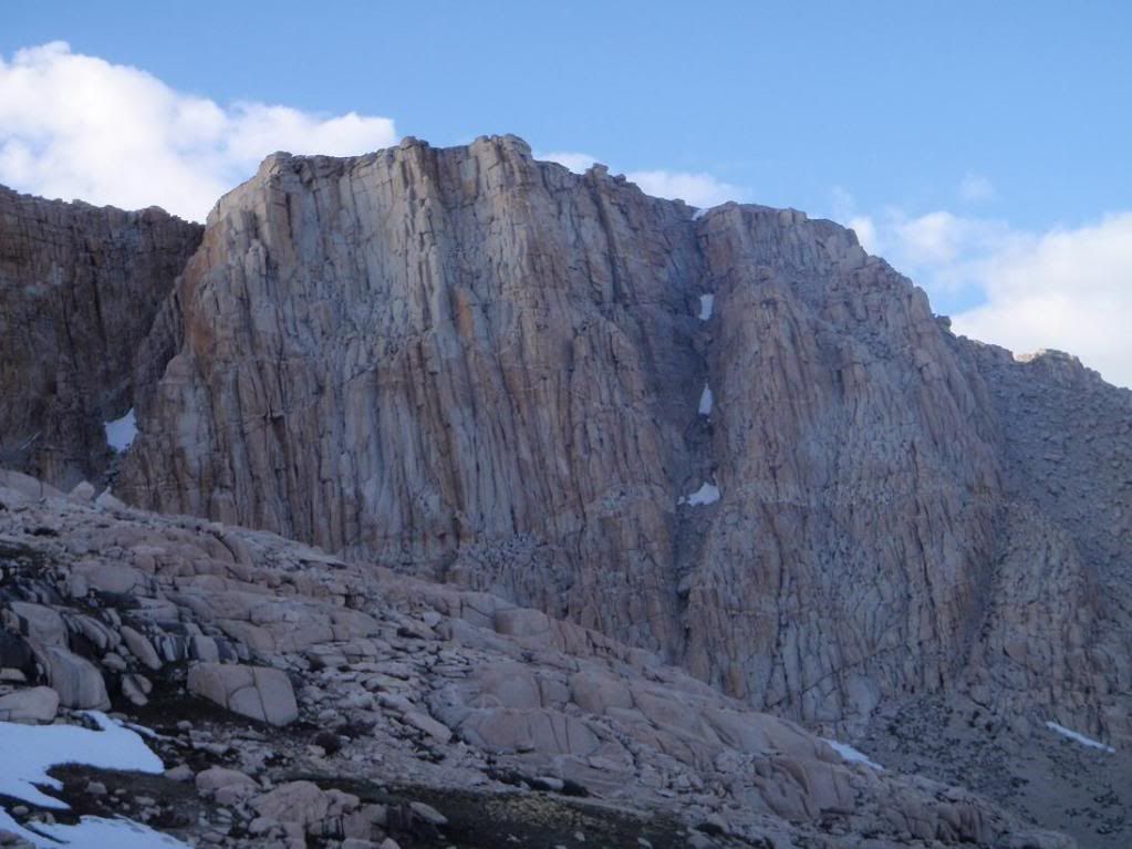
Also want climb
Zach doing something
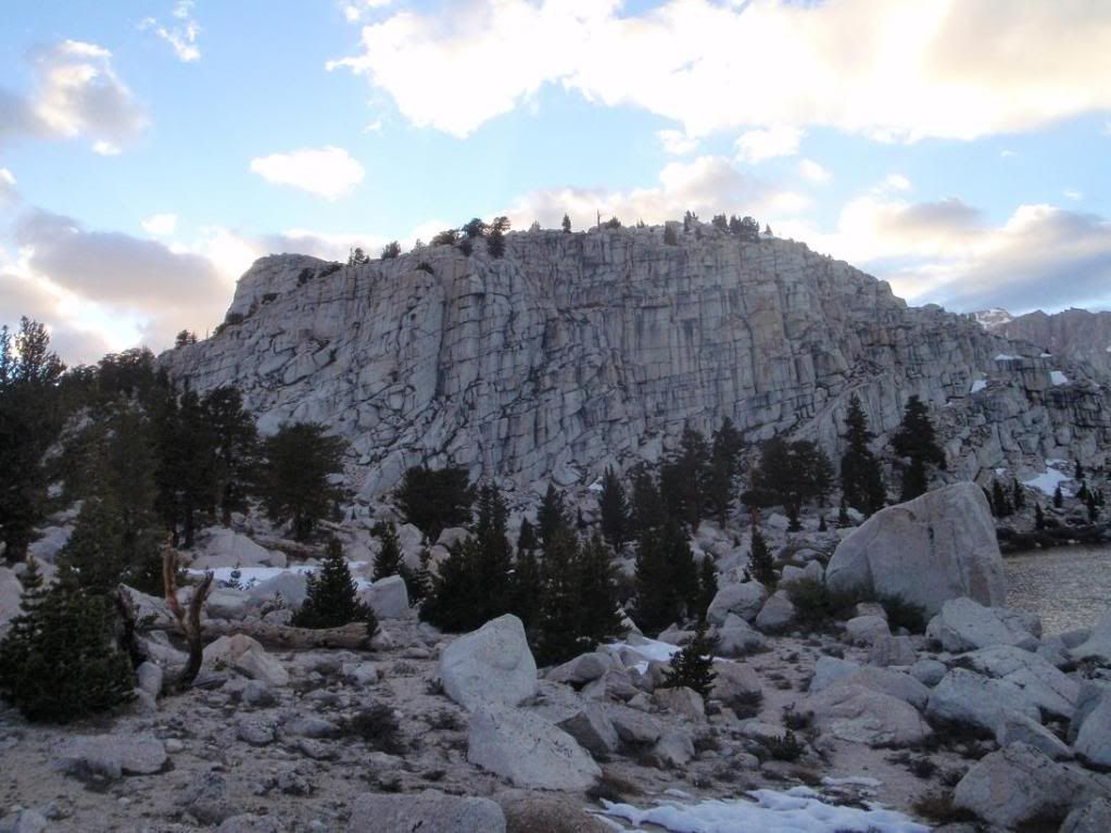
Crag-o-rama
So, two peaks, 32 miles? #ft elevation gain/loss?