

Went up to meet Greg and his buddy, whom I told that Bear Creek might be a nice camping spot.
Killed time by going up this small peak. It's got scrambling up the southwest ridge, with some sections you can climb that go at about 5.2 or so, just fun easy stuff in trail runners kinda stuff. 5.easy, I should say, so I don't get my head bitten off.
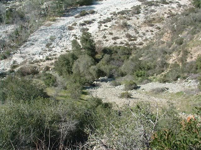
Headed down, went to Bear Creek, and hiked up until I felt like turning back, probably 3/4 mile past the San Gabriel Wilderness sign. My goal was to meet Greg either on the way in or back, have a drink and eat some of their precious food, and shoot the shit.
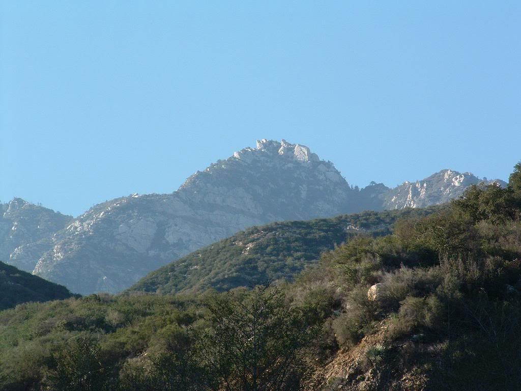
And take pitures of Twin Peaks for some adventure climbing this Spring. 8)
NOTE: If anyone knows the name of this peak, or has ideas for a name for it, go for it. Might as well give it a name instead of the boring and depressing "Pt 3100" or whatever it may be. Or "Mini-Burro", which also kinda sucks.
PICS
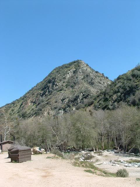
The small peak. Route goes up the ridge right there.
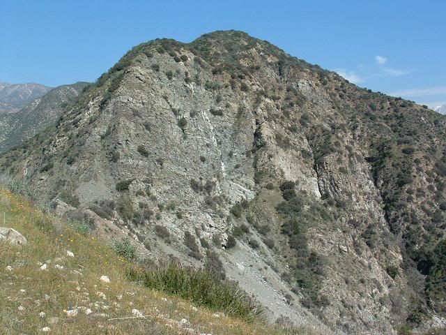
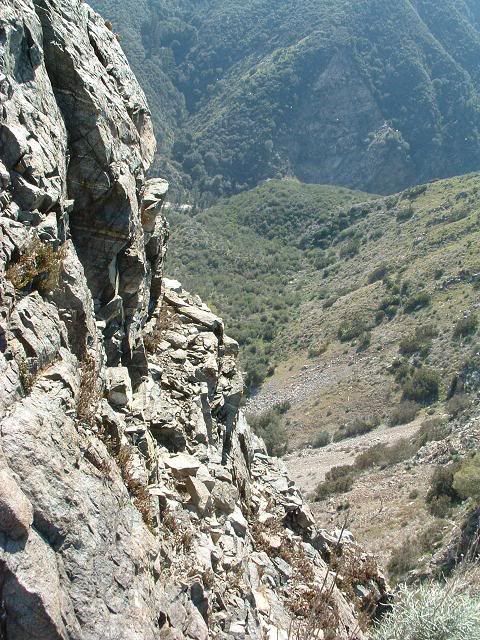
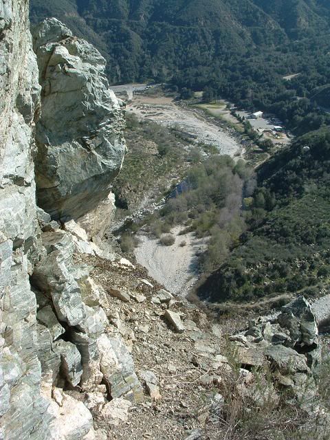
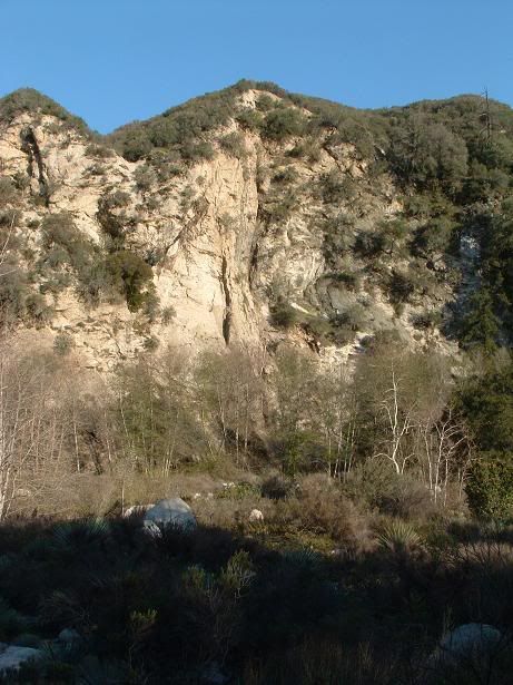
From the small sub-sub-sub-peak to the south that overlooks the West Fork bridge. Big, chossy face right there is about 1,000ft high, according to Google Erf.
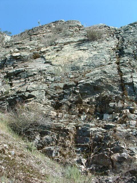
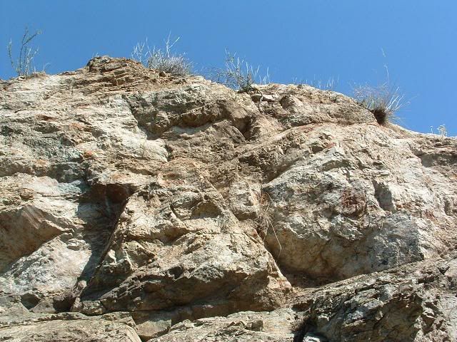
Climbing up. This is the fun scrambling/climbing section. I encountered one move where I turned off and went through some bushes up a class 2 section. If I was roped, I would have pushed that move.

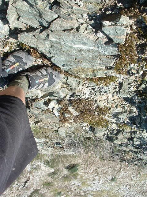
Looking down
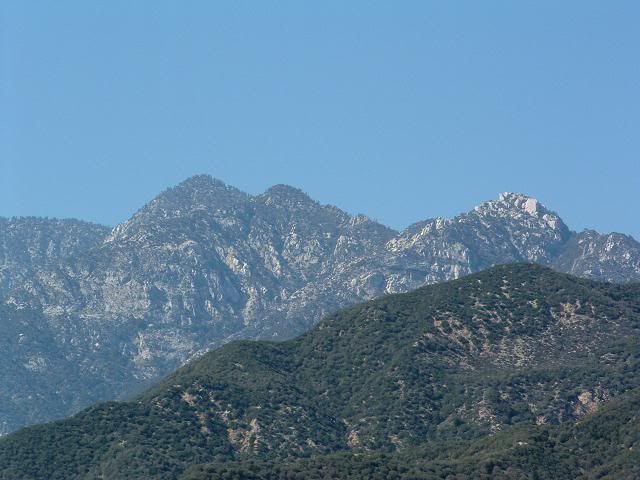
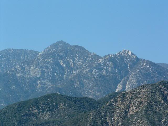
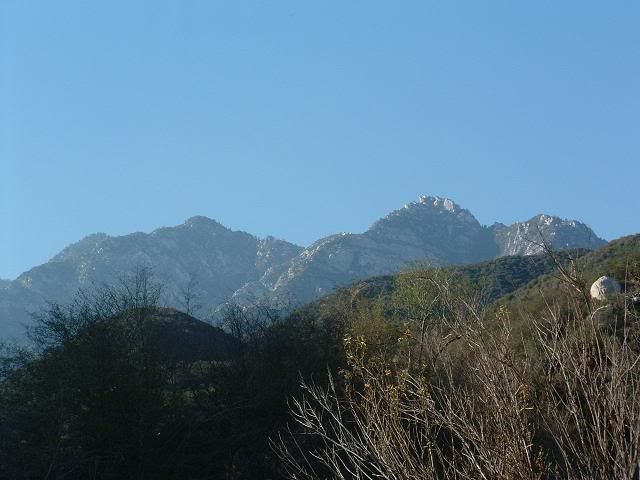
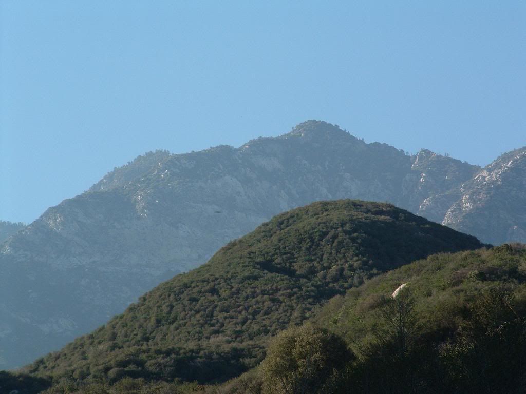
Twin Peaks with what I call "Zebra Wall" below.
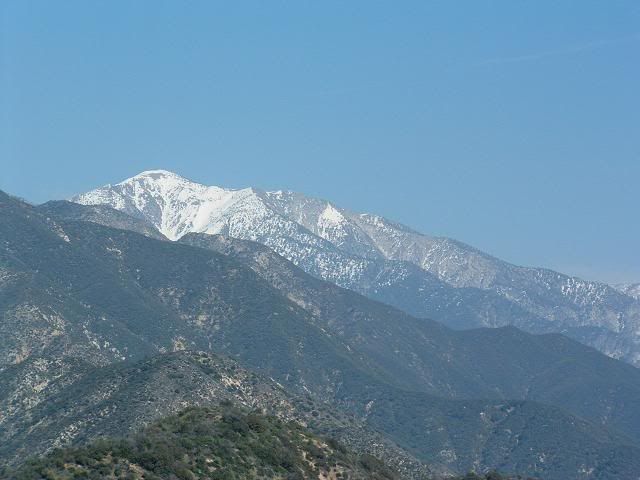
Baldy
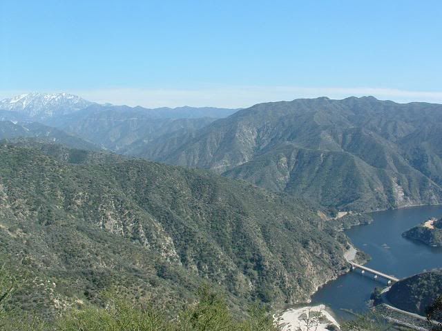
Ontario and the reservoir
The awe-inspiring summit. I'll put a register up here for those of us who enjoy obscure peaks.
Going down
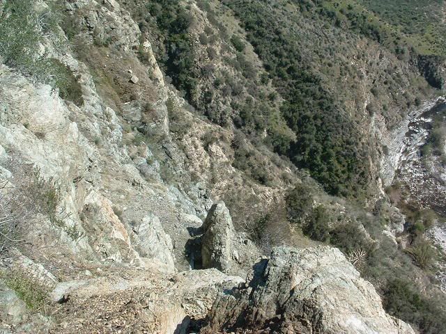
This scree onramp is the way up and down. There are a few that work.
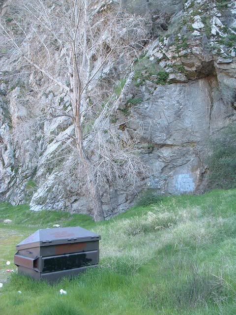
Then, headed down the road to Lower Bear Creek.
There is a sign on the bulletin board at the trailhead near the bridge that states that anyone on Upper Bear Creek Trail will be fined $5,000-$10,000 bucks and 6mo's in jail because of the washout!!!! My opinion on this is rather obvious, and I need not elaborate as to why this angers me so much.
A washout. SCARY STUFF.
Anywho...
Looks like a fun, very small sport climbing wall. Only about 20ft high or so. I'd hit it. "Garbagecan Crag". I'm sure there's some sorta ordinance against bolts though, since grafitti is more important locally.
Blah blah blah, went up Bear Creek, and took photos of Twin Peaks for fun this Spring!
Awesome. I cannot wait. FWIW, I am no planning on reaching any one point. I merely plan on going up to whatever point (or points) in the south and climbing up to whatever we can reach. "Adventure climbing". No specific goal other than to explore and document this area.
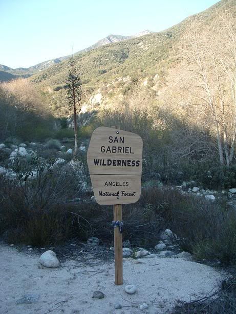
The sign on the way back.
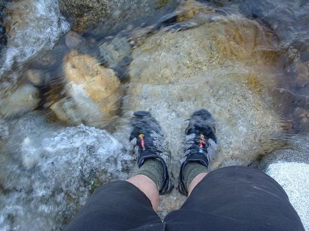
Legs
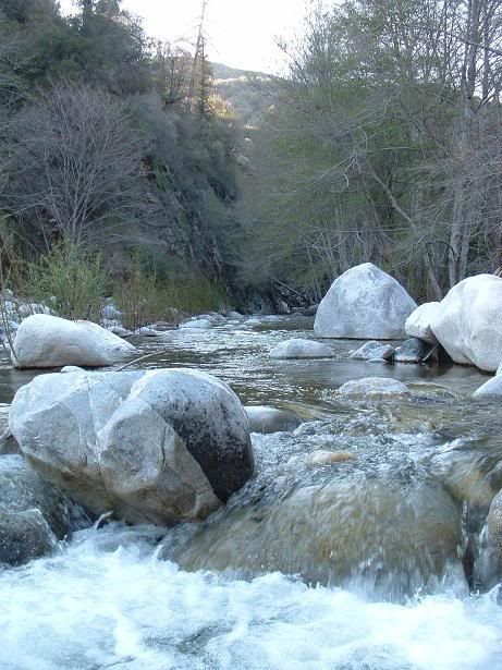
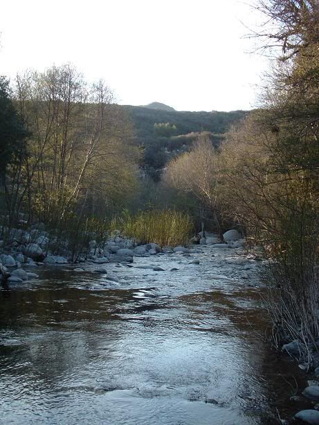
Water
Another small wall that looked "20ft perfect", in automotive terms. Had some small crack systems that might go.
HAH!
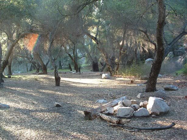
One of the campgrounds
End.


