20080311 Mini-Burro Peak and Lower Bear Creek

TRs for the San Gabriel Mountains.
Post Reply
User avatar
Taco
Snownado survivor
Posts: 6037
Joined: Thu Sep 27, 2007 4:35 pm

Post by Taco »

GREG?! Didya guys go? Brought some soju for ya.

Went up to meet Greg and his buddy, whom I told that Bear Creek might be a nice camping spot.

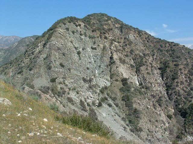
Killed time by going up this small peak. It's got scrambling up the southwest ridge, with some sections you can climb that go at about 5.2 or so, just fun easy stuff in trail runners kinda stuff. 5.easy, I should say, so I don't get my head bitten off. :lol:

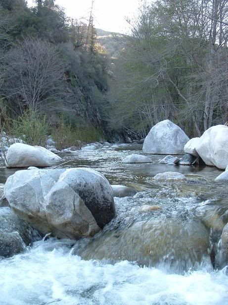
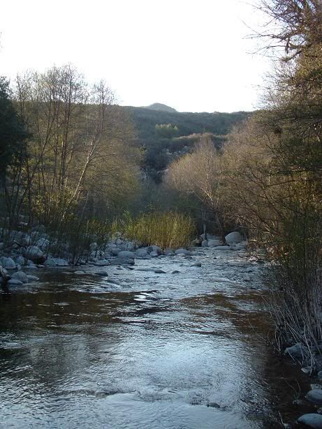
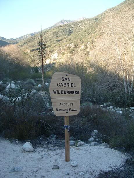
Headed down, went to Bear Creek, and hiked up until I felt like turning back, probably 3/4 mile past the San Gabriel Wilderness sign. My goal was to meet Greg either on the way in or back, have a drink and eat some of their precious food, and shoot the shit.

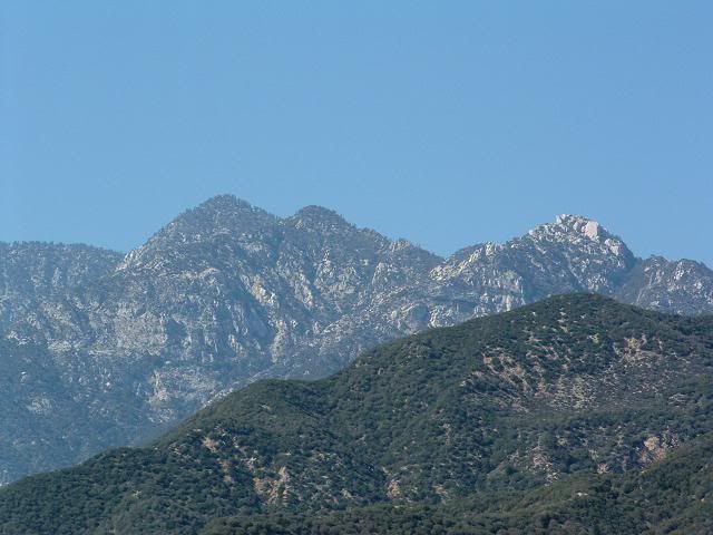
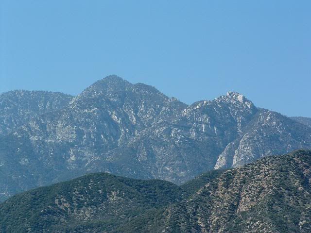
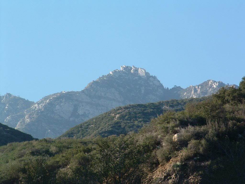
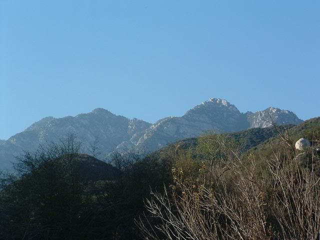
And take pitures of Twin Peaks for some adventure climbing this Spring. 8)


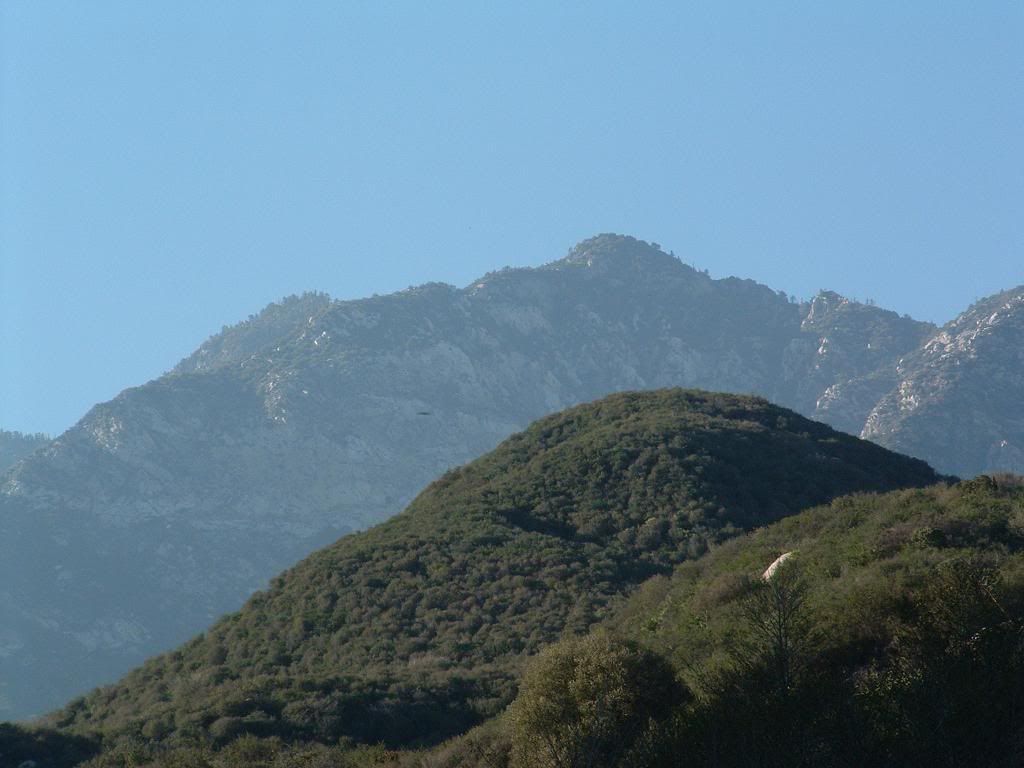
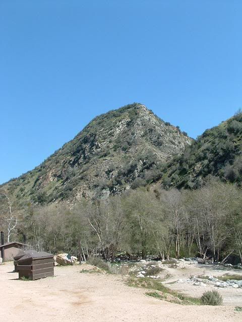
NOTE: If anyone knows the name of this peak, or has ideas for a name for it, go for it. Might as well give it a name instead of the boring and depressing "Pt 3100" or whatever it may be. Or "Mini-Burro", which also kinda sucks.


PICS

Image
The small peak. Route goes up the ridge right there.
Image
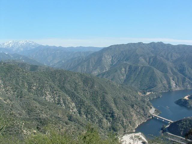
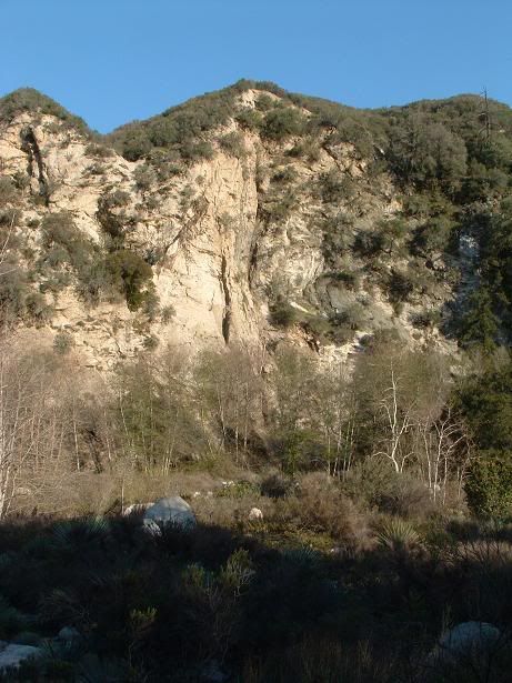
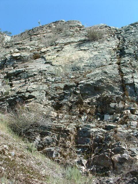
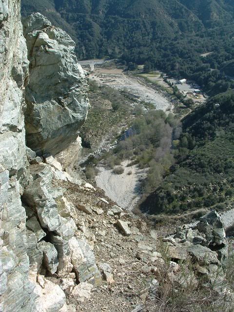
From the small sub-sub-sub-peak to the south that overlooks the West Fork bridge. Big, chossy face right there is about 1,000ft high, according to Google Erf.
Image
Image
Image
Image
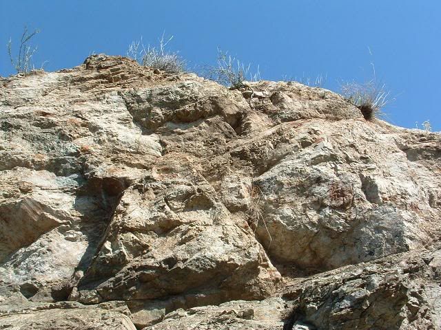
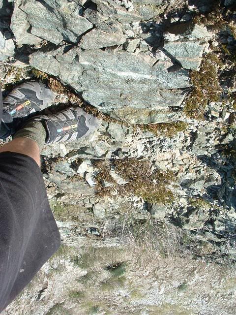
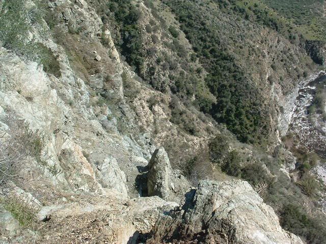
Climbing up. This is the fun scrambling/climbing section. I encountered one move where I turned off and went through some bushes up a class 2 section. If I was roped, I would have pushed that move.
Image
Image
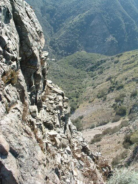
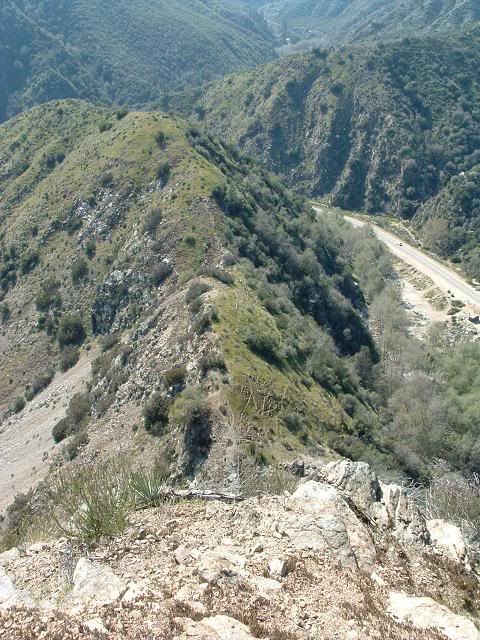
Looking down

Image
Image
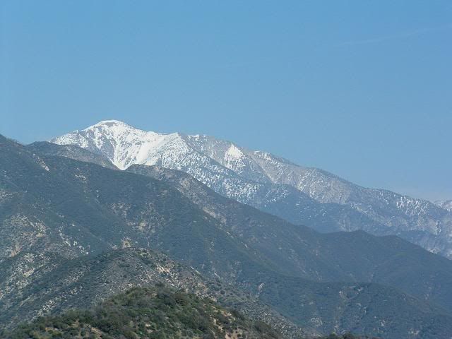
Twin Peaks with what I call "Zebra Wall" below.
Image
Baldy

Image
Ontario and the reservoir

Image
The awe-inspiring summit. I'll put a register up here for those of us who enjoy obscure peaks.
Image
Going down

Image
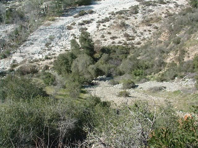
This scree onramp is the way up and down. There are a few that work.


Then, headed down the road to Lower Bear Creek.

There is a sign on the bulletin board at the trailhead near the bridge that states that anyone on Upper Bear Creek Trail will be fined $5,000-$10,000 bucks and 6mo's in jail because of the washout!!!! My opinion on this is rather obvious, and I need not elaborate as to why this angers me so much.

A washout. SCARY STUFF. :roll: :roll: :roll: :roll:

Anywho...

Image
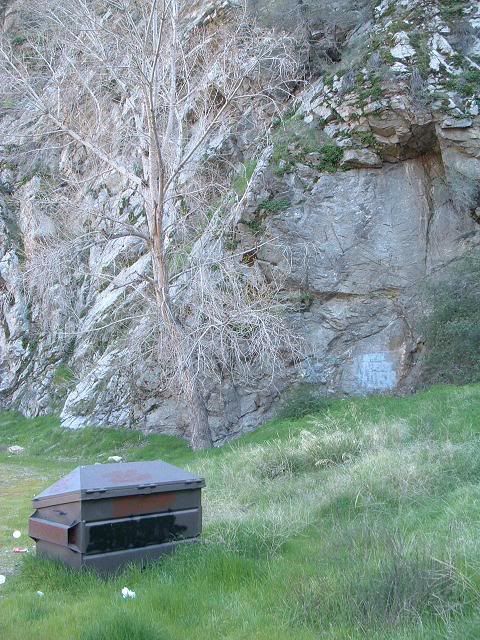
Looks like a fun, very small sport climbing wall. Only about 20ft high or so. I'd hit it. "Garbagecan Crag". I'm sure there's some sorta ordinance against bolts though, since grafitti is more important locally.

Blah blah blah, went up Bear Creek, and took photos of Twin Peaks for fun this Spring!
Image
Image
Image
Awesome. I cannot wait. FWIW, I am no planning on reaching any one point. I merely plan on going up to whatever point (or points) in the south and climbing up to whatever we can reach. "Adventure climbing". No specific goal other than to explore and document this area.
Image
The sign on the way back.

Image
Legs

Image
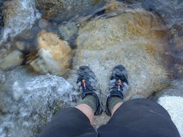
Water

Image
Another small wall that looked "20ft perfect", in automotive terms. Had some small crack systems that might go.
Image
Image
HAH!

Image
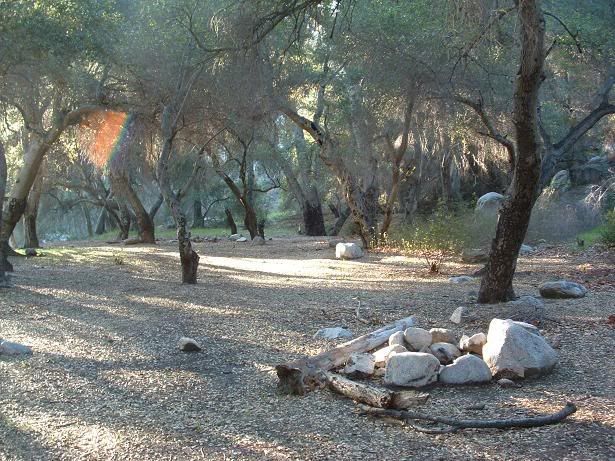
One of the campgrounds

Image
End.
User avatar
Hikin_Jim
Posts: 4686
Joined: Thu Sep 27, 2007 9:04 pm

Post by Hikin_Jim »

TacoDelRio wrote:NOTE: If anyone knows the name of this peak, or has ideas for a name for it, go for it. Might as well give it a name instead of the boring and depressing "Pt 3100" or whatever it may be. Or "Mini-Burro", which also kinda sucks.
Image
The small peak. Route goes up the ridge right there.
Don't like "Mini-Burro?" Should I state the obvious? Burrito! Doh!
TacoDelRio wrote: Image
The awe-inspiring summit. I'll put a register up here for those of us who enjoy obscure peaks.
And of course for this one: Taquito.

I'm losing it.
User avatar
Taco
Snownado survivor
Posts: 6037
Joined: Thu Sep 27, 2007 4:35 pm

Post by Taco »

Badum CHING!!!!!

Hmmm.... Burrito Peak...

Going once! Going twice!
User avatar
HikeUp
Posts: 3932
Joined: Thu Sep 27, 2007 9:21 pm

Post by HikeUp »

The whole enchilada.

It's above Hoot Owl Flats, so maybe Hooter Hill?
User avatar
Hikin_Jim
Posts: 4686
Joined: Thu Sep 27, 2007 9:04 pm

Post by Hikin_Jim »

HikeUp wrote:The whole enchilada.

It's above Hoot Owl Flats, so maybe Hooter Hill?
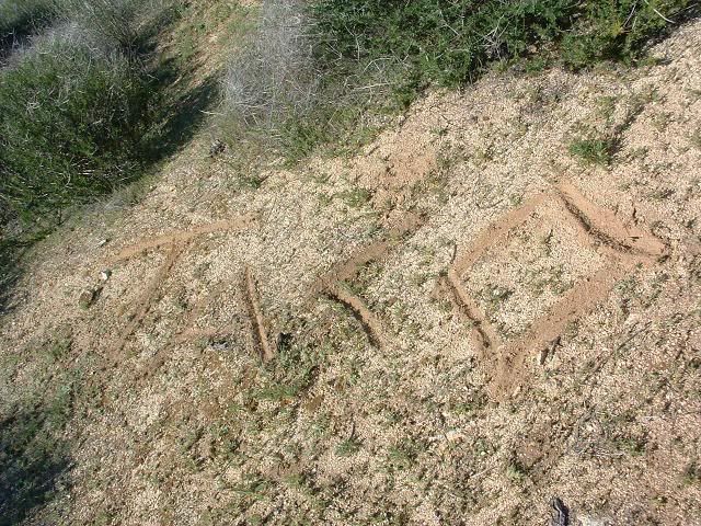
Well, it is about the right shape ...
Image
I say this strictly as a devotee of geometry.
User avatar
Taco
Snownado survivor
Posts: 6037
Joined: Thu Sep 27, 2007 4:35 pm

Post by Taco »

Hmmm... :twisted:
User avatar
AlanK
Posts: 1069
Joined: Thu Sep 27, 2007 9:28 pm

Post by AlanK »

Jim - where did you take that picture? Did you also meet them last weekend hiking up the Baldy Bowl? We didn't notice you -- no offense.
User avatar
HikeUp
Posts: 3932
Joined: Thu Sep 27, 2007 9:21 pm

Post by HikeUp »

How do these threads keep getting off topic? :wink:
User avatar
Hikin_Jim
Posts: 4686
Joined: Thu Sep 27, 2007 9:04 pm

Post by Hikin_Jim »

AlanK wrote:Jim - where did you take that picture? Did you also meet them last weekend hiking up the Baldy Bowl? We didn't notice you -- no offense.
That's OK, Alan, I didn't recognize you (in drag) either. :shock:
User avatar
Hikin_Jim
Posts: 4686
Joined: Thu Sep 27, 2007 9:04 pm

Post by Hikin_Jim »

HikeUp wrote:How do these threads keep getting off topic? :wink:
Hey, you got your topic; I got mine. :D
User avatar
pilot
Posts: 27
Joined: Fri Feb 22, 2008 4:46 pm

Post by pilot »

Hikin_Jim wrote:
HikeUp wrote:The whole enchilada.

It's above Hoot Owl Flats, so maybe Hooter Hill?
Well, it is about the right shape ...
Image
I say this strictly as a devotee of geometry.
Nature does have a way of creating lovely shapes...well that and doctors in Beverly Hills. But as a fellow enthusiast of geometry I say nature is still number 1!
User avatar
AlanK
Posts: 1069
Joined: Thu Sep 27, 2007 9:28 pm

Post by AlanK »

Hikin_Jim wrote:
AlanK wrote:Jim - where did you take that picture? Did you also meet them last weekend hiking up the Baldy Bowl? We didn't notice you -- no offense.
That's OK, Alan, I didn't recognize you (in drag) either. :shock:
I call it "incognito." :roll:
User avatar
406
Posts: 324
Joined: Thu Jan 17, 2008 10:36 am

Post by 406 »

Image

I love it.
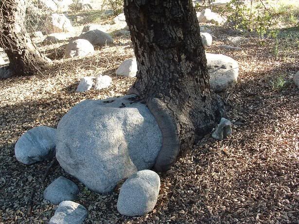
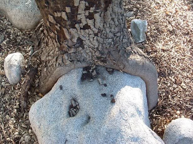
Is the tree shitting out the rock or is the rock fucking the tree?
User avatar
Hikin_Jim
Posts: 4686
Joined: Thu Sep 27, 2007 9:04 pm

Post by Hikin_Jim »

I'm not even going there. :)
User avatar
Taco
Snownado survivor
Posts: 6037
Joined: Thu Sep 27, 2007 4:35 pm

Post by Taco »

The answer is yes. This tree knows no boundaries.
User avatar
AW~
Posts: 2064
Joined: Mon Oct 01, 2007 12:00 pm

Post by AW~ »

Thanks for the pictures....looking forward to be back to bear creek.
User avatar
Mike P
Posts: 1005
Joined: Tue Oct 02, 2007 10:48 pm

Post by Mike P »

Taco, what was the name of the campground in your pictures?
Thanks
User avatar
Taco
Snownado survivor
Posts: 6037
Joined: Thu Sep 27, 2007 4:35 pm

Post by Taco »

Mike P wrote:Taco, what was the name of the campground in your pictures?
Thanks
Sorry Mike but I do not know. It is a mile or so up Lower Bear Creek. There are several like it, basically just big open areas shaded by Live Oak.

AW, do you know if it has a designation?
User avatar
AW~
Posts: 2064
Joined: Mon Oct 01, 2007 12:00 pm

Post by AW~ »

I think its name is called Bear Creek (wilderness) trail camp. It is not a USFS maintained campground, but is used quite often by Boy Scouts, thus is in excellent condition. Im not exactly sure where it is...somewhere between the 6-10th crossing of Bear Creek from the WF San Gabriel river....about 1 mile or so from the West Fork SG river. Before this campground is another space that had a couple of tents, but its easy to spot the difference as one is a lot smaller, the real one is significant space.

There supposedly are 2 more wilderness campsites upstream. One at the WF Bear Creek and another by the Upper Bear Creek trail confluence. There was certainly a lot of space just before the WF Bear Creek to make a camp, but I wouldnt call it a wilderness campsite, more like just a super large boulderish area to camp out. Trail at that point was quite intermittent at best.

The only drawback would be the parking situation overnight, which soon it would be that time of year again for more break-ins. During the day, it seems to be one of the safest places to park, checked regularly for adventure pass parking violations.
User avatar
406
Posts: 324
Joined: Thu Jan 17, 2008 10:36 am

Post by 406 »

TacoDelRio wrote:The answer is yes. This tree knows no boundaries.
HA!
User avatar
Taco
Snownado survivor
Posts: 6037
Joined: Thu Sep 27, 2007 4:35 pm

Post by Taco »

Got a mountain page up for this peak:
http://www.summitpost.org/mountain/rock ... -2510.html
User avatar
HikeUp
Posts: 3932
Joined: Thu Sep 27, 2007 9:21 pm

Post by HikeUp »

...be aware that lots of folks come up here from the city to drink, fornicate, shoot, and cause problems
Garden spot indeed. Sad.

What's even sadder is I'm nearly up to 200 posts...I'm going hiking...back later!
User avatar
Mike P
Posts: 1005
Joined: Tue Oct 02, 2007 10:48 pm

Post by Mike P »

TacoDelRio wrote:Sorry Mike but I do not know. It is a mile or so up Lower Bear Creek. There are several like it, basically just big open areas shaded by Live Oak...
AW wrote:I think its name is called Bear Creek (wilderness) trail camp...
Thanks guys! I would like to do a through-hike backpack up to Hwy 39 someday as Chicken Legs was alluding to in an earlier thread.
Post Reply