20080217 Big Iron with intent to go up Baldy
Yeah right. Knew I wouldn't be able to reach Baldy by the time we were around 1,000ft from the top of Iron.
Anywho, Kimmi (Kove) and myself set off around 0445 from Heaton Flats, making good time (so I felt), taking a few breaks on the way up, and reached the summit 6 hours later. Took pics and ate lunch at the summit, and then we went on our way home. I ran out of water at Heaton Saddle and had to bum a few drinks off Kimmi. We ran into a friendly group of folks at Heaton Saddle, and we spoke about this forum, and placs in Pakistan (want to go there someday). Told them to join... maybe they're reading this? 8)
Obviously no offense to anyone or anything, but I didn't like this hike. I'd be up for going up Iron a different way (some real steep couloirs on the north and west sides), and getting airlifted off the summit or jumpoing off onto a very well placed, giant trampoline with pilows around it. Or, just heading up Baldy from there, and out to Wanker Flats or somesuch.
Just not a fan of "hiking" this past couple years. Just feels rather detatched, like I'm walking around the neighborhood but there are really high resolution images everywhere. I don't mean to cause any issues with anyone on this... just my feelings on ze matter.
Pix0rz:
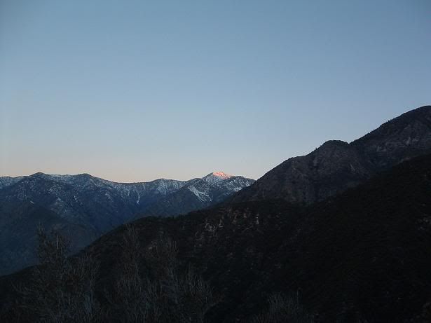
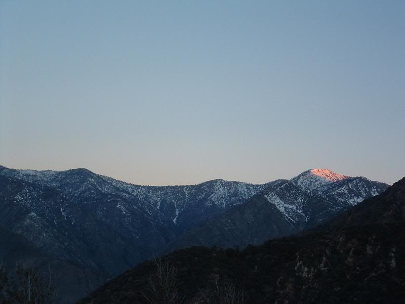
BP Early morning. Hopefully we get some new snow in this next storm, or more accurately for most of Southern California, shall be termed a "weather event".
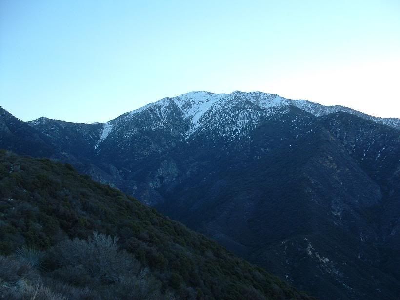
SA Ridge
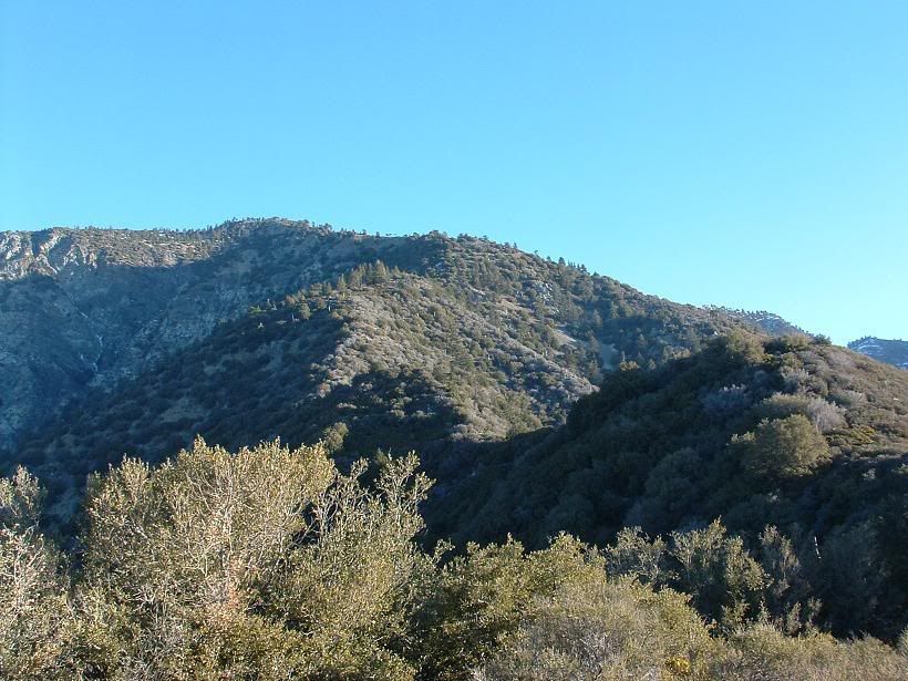
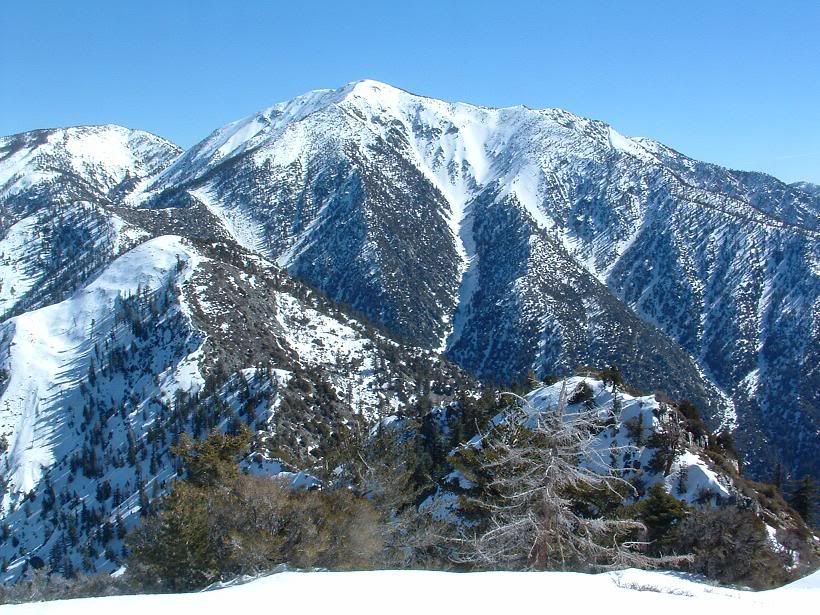
Ze south ridge to Iron
Dunno. It was on the ground, so I propped it up.
Kimmi
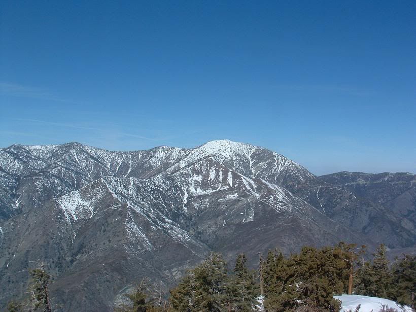
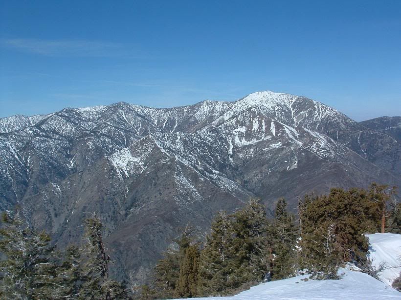
Baldy WF
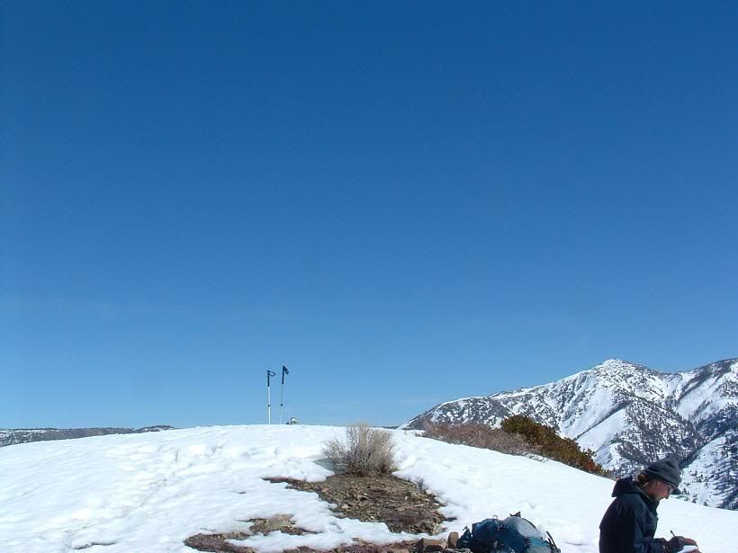
Summit bump
Artsy crap
Steep
Kimmi
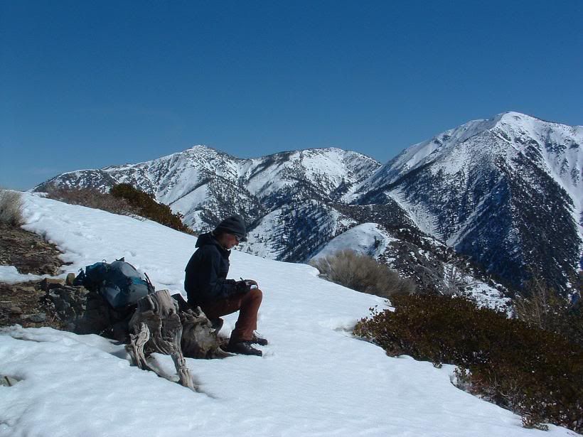
Kimmi on the summit
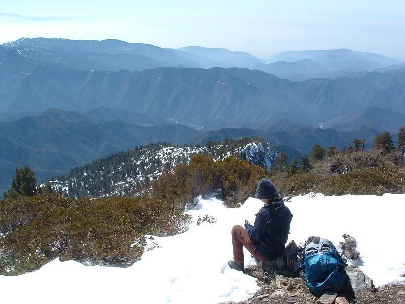
Looking around
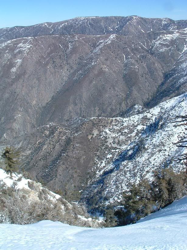
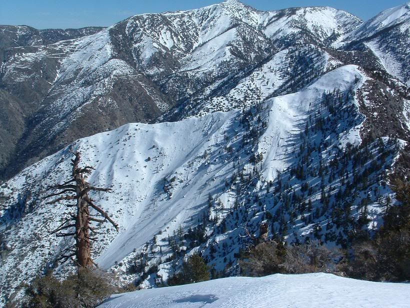
Un-named mini-ridge of what looks ot be possible badass climbing along one of Baldy's south ridges in Cow Canyon. Very steep looking cliffs.
Widman Ranch? Photo from right above Heaton Saddle
Kimmi descending
All else aside, I had a great time despite the dehydration. Kimmi, you're an animal (good thing), and I gotta bring more water next time. Kinda forgot all the times people said how they ran out of H20 here. This mountain is always within view when I'm around home... and after a few years of saying I'd climb it, I finally got there.
Augie... you've done this a buncha times... do you still have cartilage in yer knees?!?!
Anywho, Kimmi (Kove) and myself set off around 0445 from Heaton Flats, making good time (so I felt), taking a few breaks on the way up, and reached the summit 6 hours later. Took pics and ate lunch at the summit, and then we went on our way home. I ran out of water at Heaton Saddle and had to bum a few drinks off Kimmi. We ran into a friendly group of folks at Heaton Saddle, and we spoke about this forum, and placs in Pakistan (want to go there someday). Told them to join... maybe they're reading this? 8)
Obviously no offense to anyone or anything, but I didn't like this hike. I'd be up for going up Iron a different way (some real steep couloirs on the north and west sides), and getting airlifted off the summit or jumpoing off onto a very well placed, giant trampoline with pilows around it. Or, just heading up Baldy from there, and out to Wanker Flats or somesuch.
Just not a fan of "hiking" this past couple years. Just feels rather detatched, like I'm walking around the neighborhood but there are really high resolution images everywhere. I don't mean to cause any issues with anyone on this... just my feelings on ze matter.
Pix0rz:
BP Early morning. Hopefully we get some new snow in this next storm, or more accurately for most of Southern California, shall be termed a "weather event".
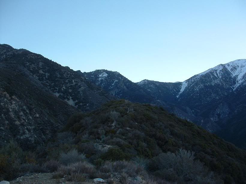
SA Ridge
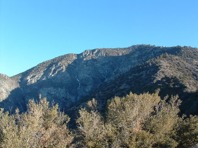
Ze south ridge to Iron
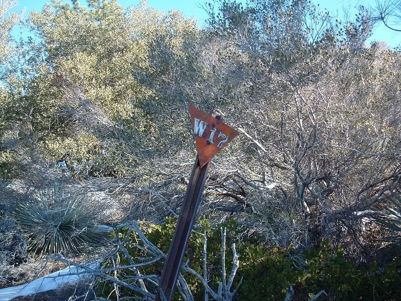
Dunno. It was on the ground, so I propped it up.
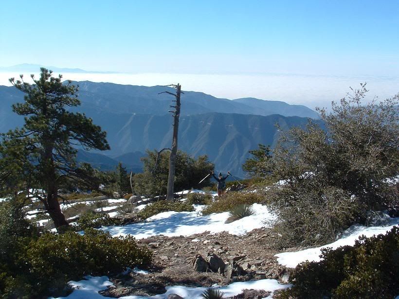
Kimmi
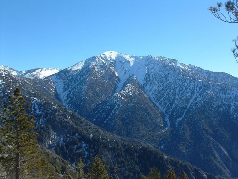
Baldy WF
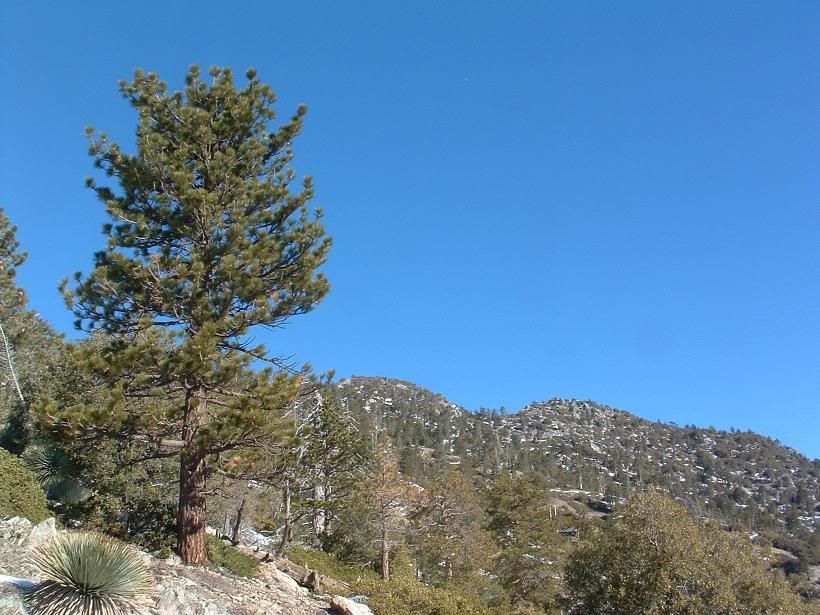
Summit bump
Artsy crap
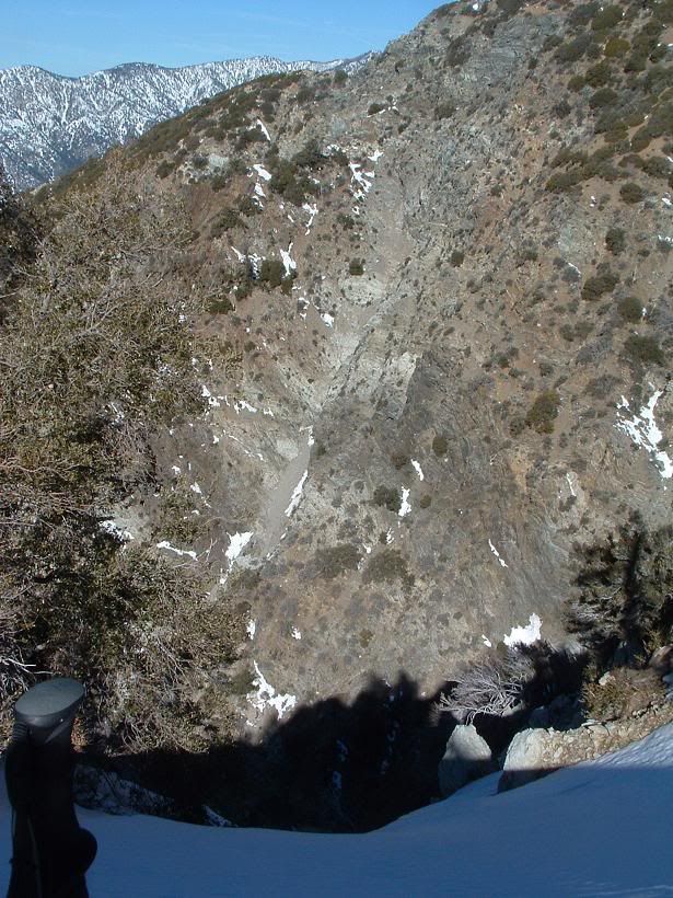
Steep
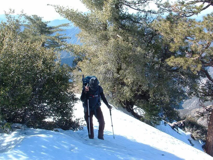
Kimmi
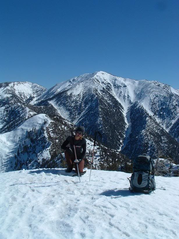
Kimmi on the summit
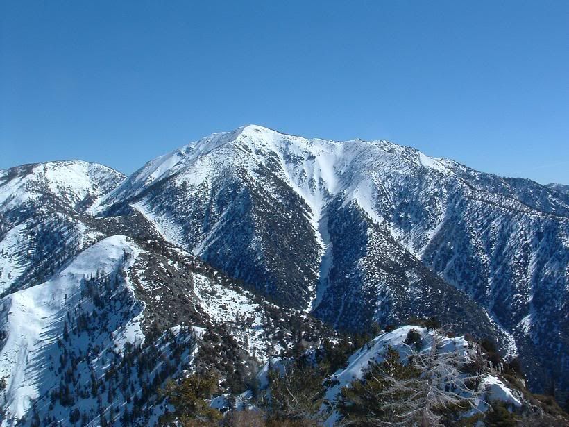
Looking around
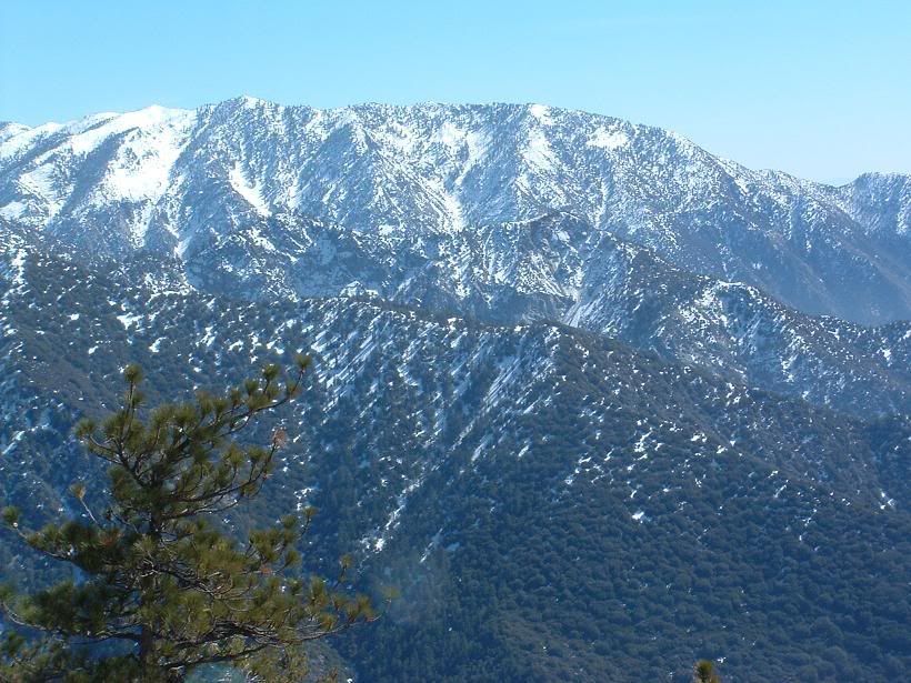
Un-named mini-ridge of what looks ot be possible badass climbing along one of Baldy's south ridges in Cow Canyon. Very steep looking cliffs.
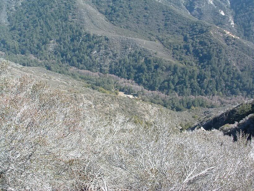
Widman Ranch? Photo from right above Heaton Saddle
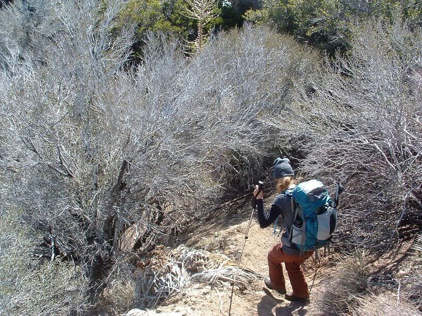
Kimmi descending
All else aside, I had a great time despite the dehydration. Kimmi, you're an animal (good thing), and I gotta bring more water next time. Kinda forgot all the times people said how they ran out of H20 here. This mountain is always within view when I'm around home... and after a few years of saying I'd climb it, I finally got there.
Augie... you've done this a buncha times... do you still have cartilage in yer knees?!?!
I will mark that, Travis! Sounds like a good bugout point if things go downhill on a trip. I'll be sure to also drop some stuff off at the Helipad. Twas' a glorious helipad, complete with several reflectors!
AlanK, it's only a matter of time!
Nice Photos Taco!
One really caught my eye and I marked it up with a cool looking route:
Anyone ever done it? Looks like a fun up and would be an amazing ski descent, I think the afternoon sun might soften it up nicely.
Three issues I can see:
1. Access. Can you drive up Coldwater Canyon to Widman Ranch area?
2. Large section of uphill route has chossy rock hanging over climber. Maybe best to go up a nearby ridge.
3. I think there is a cornice hanging over that direction from the summit ridge ( again ridges would be safer ).
Route on topomap ( I think ):
I guy can dream....
I spotted that same route while on Iron and asked the same questions, see the discussion I started:406 wrote:Nice Photos Taco!
One really caught my eye and I marked it up with a cool looking route:
Anyone ever done it? Looks like a fun up and would be an amazing ski descent, I think the afternoon sun might soften it up nicely.
Three issues I can see:
1. Access. Can you drive up Coldwater Canyon to Widman Ranch area?
2. Large section of uphill route has chossy rock hanging over climber. Maybe best to go up a nearby ridge.
3. I think there is a cornice hanging over that direction from the summit ridge ( again ridges would be safer ).
I guy can dream....
https://eispiraten.com/viewtopic.php?t=275
God 406.... that's friggin hilarious! I love the taco of the river!
Down deep in the couloir, it's rocky, so you'd probably ski it until you got to the thinnest section, where you'd have to hoof-it out.
I'd love to give it a shot personally, though I do not ski. It would likely be the first time anyone did it, since getting out is an issue.
Down deep in the couloir, it's rocky, so you'd probably ski it until you got to the thinnest section, where you'd have to hoof-it out.
I'd love to give it a shot personally, though I do not ski. It would likely be the first time anyone did it, since getting out is an issue.
Unless things have really changed, you're not even supposed to walk up that road. You can get there via the Heaton Flats Trail. You would proceed just as though you were going to do Iron Mtn but instead of going straight up the ridge at Heaton Saddle, turn right (~NE) and descend the remains of an old road to the canyon bottom. You're now in Coldwater Canyon above Widman Ranch. I think that would get you approx. into the area you need to be. You could also ascend Iron and traverse San Antonio Ridge, and then ski down the couloir you marked, but I don't know about packing ski or snow board gear across San Antonio Ridge. Doesn't sound like fun. You could also ascend via the Baldy Trail or Baldy Bowl Trail, but you'd have a heck of a shuttle to get back to your car.406 wrote:...issues I can see:
1. Access. Can you drive up Coldwater Canyon to Widman Ranch area?
The best way I could come up with is to go from Wanker Flats (not giving up on that!) and ascend Baldy however the heck you want. Go up the bowl to make it more alpinistic or whatever. Descend SA ridge and go down into that canyon, as there is a wide and shallow looking gully that goes down into that canyon. Then, ascend.
Ski-wise, just do the same, except ski down the face, and hike UP that wide shallow gully.
THat sucks....I had visions of riding my mt bike up the road with skis on my backpack.
Yeah that is one of the options I came up with after further research. I'm thinking it would have to be an overnight, camp some place past the eagle mine. I'm guessing getting from the trail to the snow covered part of the gully would be pure hell, especially with skis.Hikin_Jim wrote: You can get there via the Heaton Flats Trail. You would proceed just as though you were going to do Iron Mtn but instead of going straight up the ridge at Heaton Saddle, turn right (~NE) and descend the remains of an old road to the canyon bottom. You're now in Coldwater Canyon above Widman Ranch. I think that would get you approx. into the area you need to be. You could also ascend Iron and traverse San Antonio Ridge, and then ski down the couloir you marked, but I don't know about packing ski or snow board gear across San Antonio Ridge. Doesn't sound like fun. You could also ascend via the Baldy Trail or Baldy Bowl Trail, but you'd have a heck of a shuttle to get back to your car.
I had been thinking the same...although skiing into something that big blind can be scary. Other issue, want to ski in the afternoon and hike up in the morning. Bivy at the snow line after skiing/hiking down the couloir? Next morning hike couloir to summit and out to Wanker flat?TacoDelRio wrote:The best way I could come up with is to go from Wanker Flats (not giving up on that!) and ascend Baldy however the heck you want. Go up the bowl to make it more alpinistic or whatever. Descend SA ridge and go down into that canyon, as there is a wide and shallow looking gully that goes down into that canyon. Then, ascend.
Ski-wise, just do the same, except ski down the face, and hike UP that wide shallow gully.
Did you think access from trail near the eagle mine ( on topo map ) would be to thick with brush and rocks? That would be an insane amount of vert...~4000 with camping and climbing and ski gear to base camp and another ~4000 climb from base camp to summit! And funny part would be working that hard for a summit that is a zoo of people!
I'm going to email this idea ( with route options ) to my ski buddy, if he bites, we would be interested in trying sometime in mid to late March ( assuming the snow sticks around). Taco, if we join you I don't think it would be a problem that you don't ski, we would just be a little faster on the downhill and you would be faster on the uphill.
The old trail shown near the Eagle Mine isn't there any more. Probably hasn't been passable since the 50's or 60's, maybe longer. A lot of those old mines are from circa 1890. You can get a reasonable trail to the canyon bottom above Widman Ranch. After that, I don't believe that there are any passable trails going North.406 wrote: Did you think access from trail near the eagle mine ( on topo map ) would be to thick with brush and rocks?
I can see why Taco wants to access that couloir from the top. Plenty of routes to get to the top of Baldy and then to the top of the couloir. The problem of course is that you'd be skiing blind. Rockfalls, drop offs, downed trees, etc. could be a real problem. Climbing up and then skiing down would be better, but the base of the couloir is a pretty inaccessible area.
Still, just going up Coldwater Canyon looks like it could be done. Looks like a couple of "fun" spots right around here: http://www.topozone.com/map.asp?lat=34. ... &layer=DRG
I've been up as far as the Baldora Mine (marked as the Widco Mine on the map), above the confluence of Dry Gulch and Coldwater Canyon. I didn't find the canyon bottom too difficult, but then again, I didn't go up as far as you guys would be going.
Definitely an amazing trip if you can work out the details and overcome the inaccessibility.
Tell ya guys what. Next clear sky day we have (this coming week), when I'm not doing anything, I'll give it a shot. I'll scout out that area by going over Baldy, down SA ridge, and down the exit gully (as I have it marked, on SA Rdige), etc.
Anyone interested in coming along, by all means drop on in. Gotta get my truck fixed so I can actually shift without using a hammer (Fast and the Furious: Russian Shift). After that, easy money till SA Ridge. Should be fun. Will post all findings on what little I know regarding skiing (less rocks = win).