

Anywho, Kimmi (Kove) and myself set off around 0445 from Heaton Flats, making good time (so I felt), taking a few breaks on the way up, and reached the summit 6 hours later. Took pics and ate lunch at the summit, and then we went on our way home. I ran out of water at Heaton Saddle and had to bum a few drinks off Kimmi. We ran into a friendly group of folks at Heaton Saddle, and we spoke about this forum, and placs in Pakistan (want to go there someday). Told them to join... maybe they're reading this? 8)
Obviously no offense to anyone or anything, but I didn't like this hike. I'd be up for going up Iron a different way (some real steep couloirs on the north and west sides), and getting airlifted off the summit or jumpoing off onto a very well placed, giant trampoline with pilows around it. Or, just heading up Baldy from there, and out to Wanker Flats or somesuch.
Just not a fan of "hiking" this past couple years. Just feels rather detatched, like I'm walking around the neighborhood but there are really high resolution images everywhere.
Pix0rz:
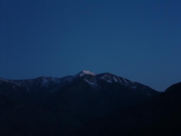
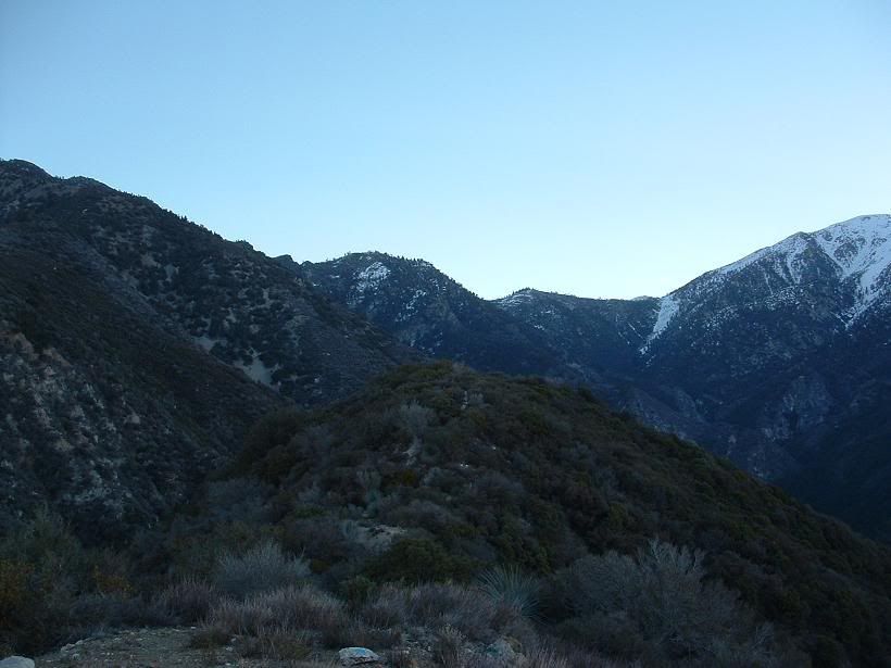
BP Early morning. Hopefully we get some new snow in this next storm, or more accurately for most of Southern California, shall be termed a "weather event".
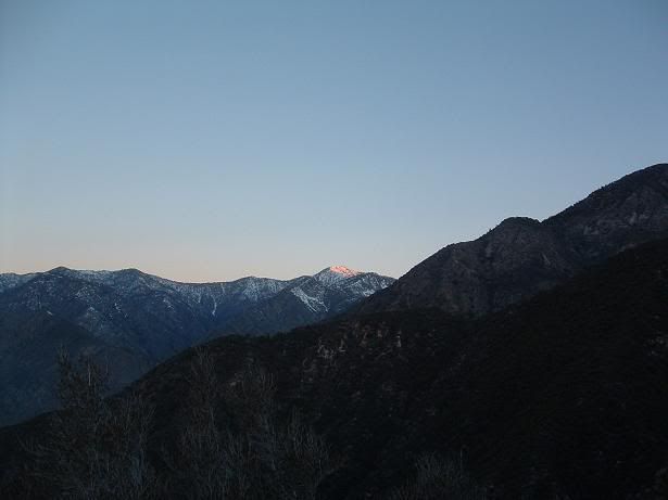
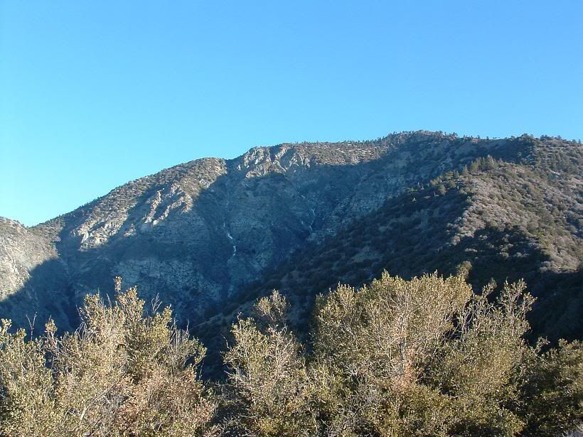
SA Ridge
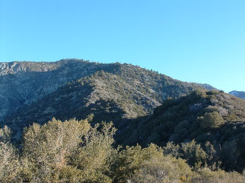
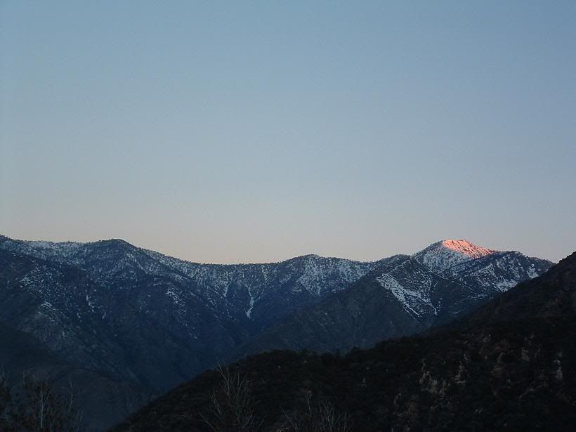
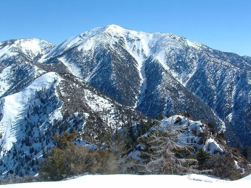
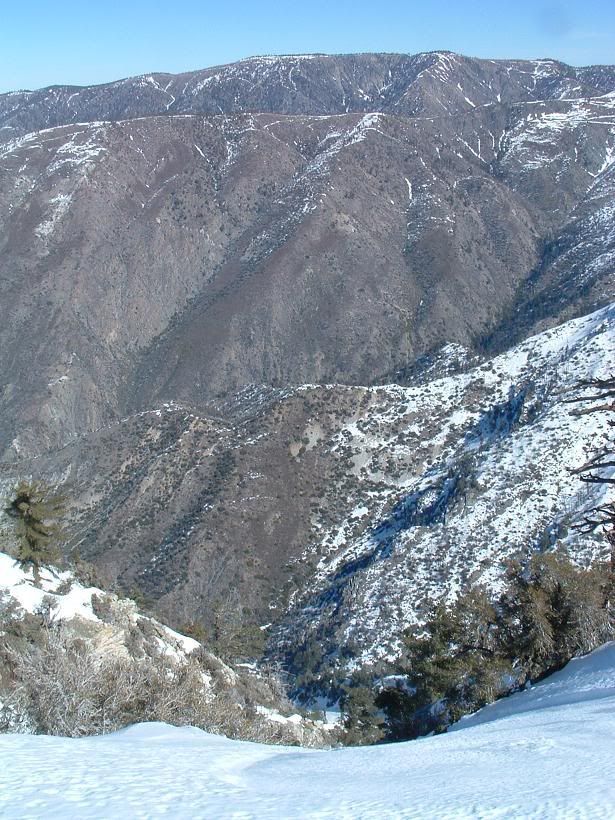
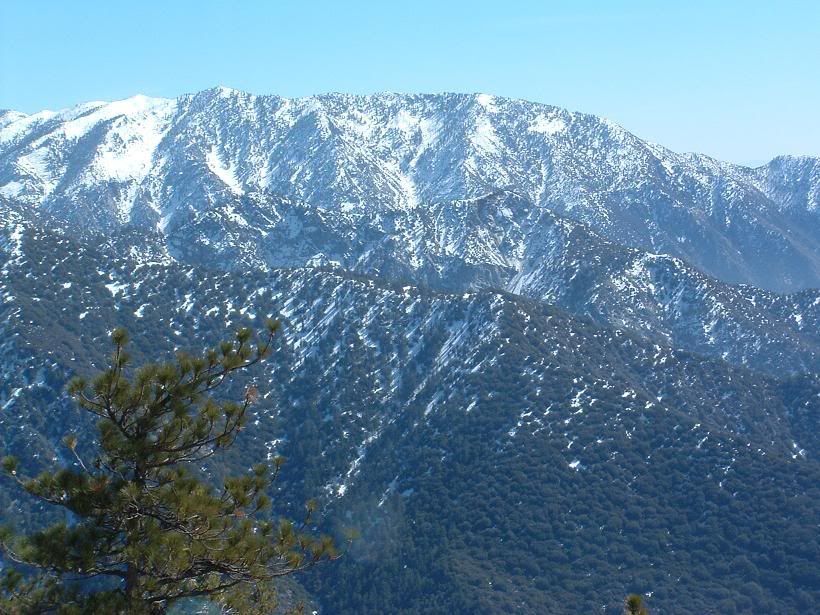
Ze south ridge to Iron
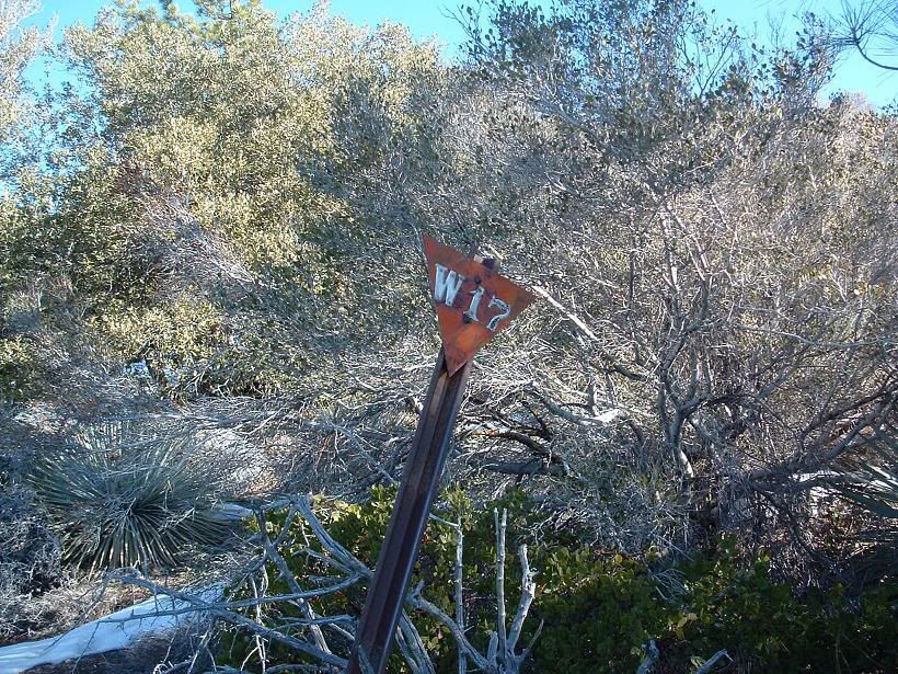
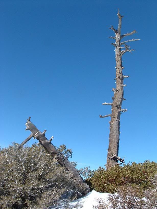
Dunno. It was on the ground, so I propped it up.
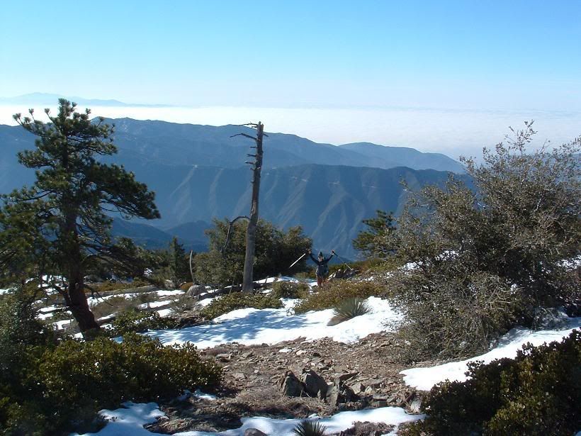
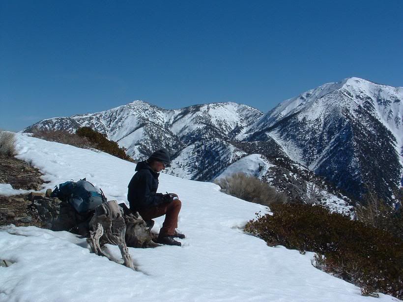
Kimmi
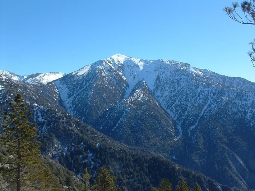
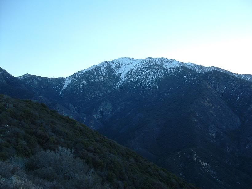
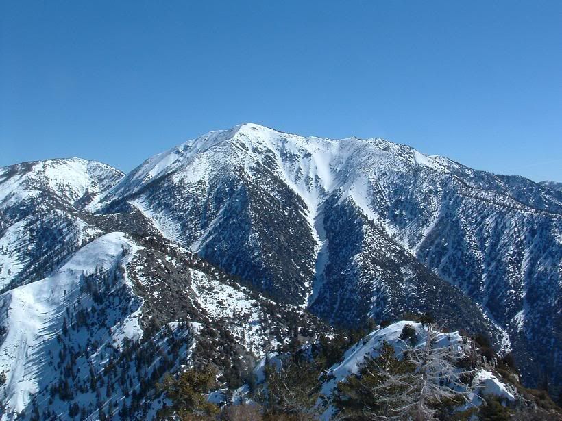
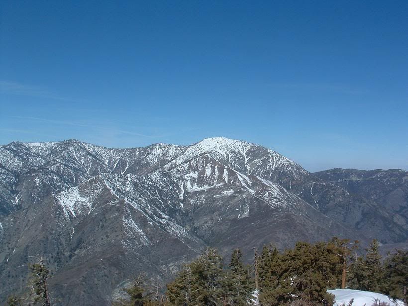
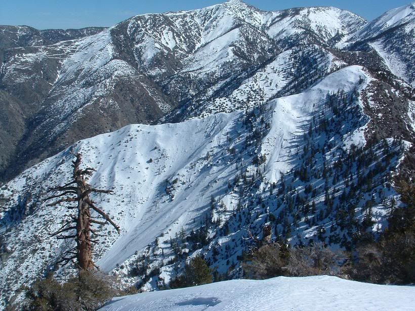
Baldy WF
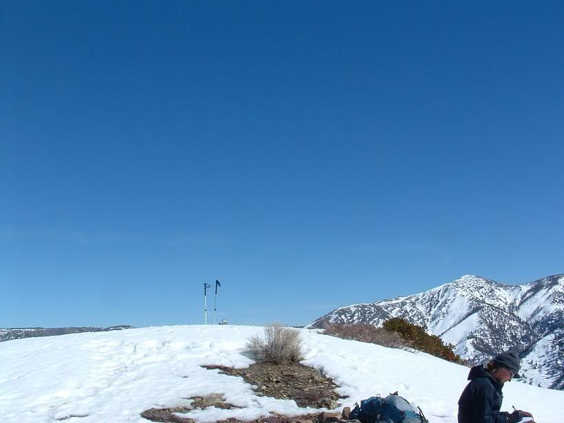
Summit bump
Artsy crap
Steep
Kimmi
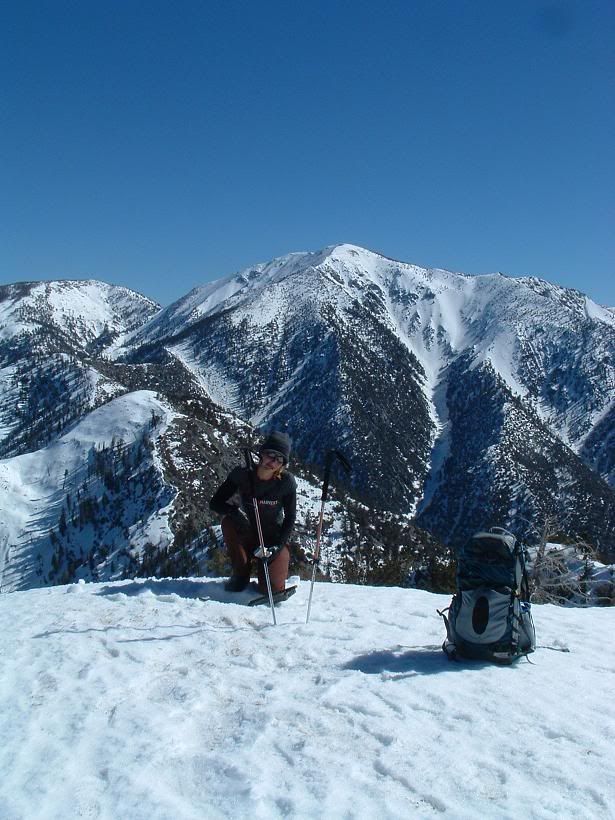
Kimmi on the summit
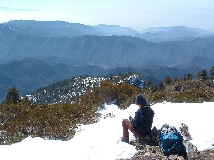
Looking around
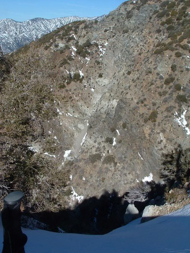
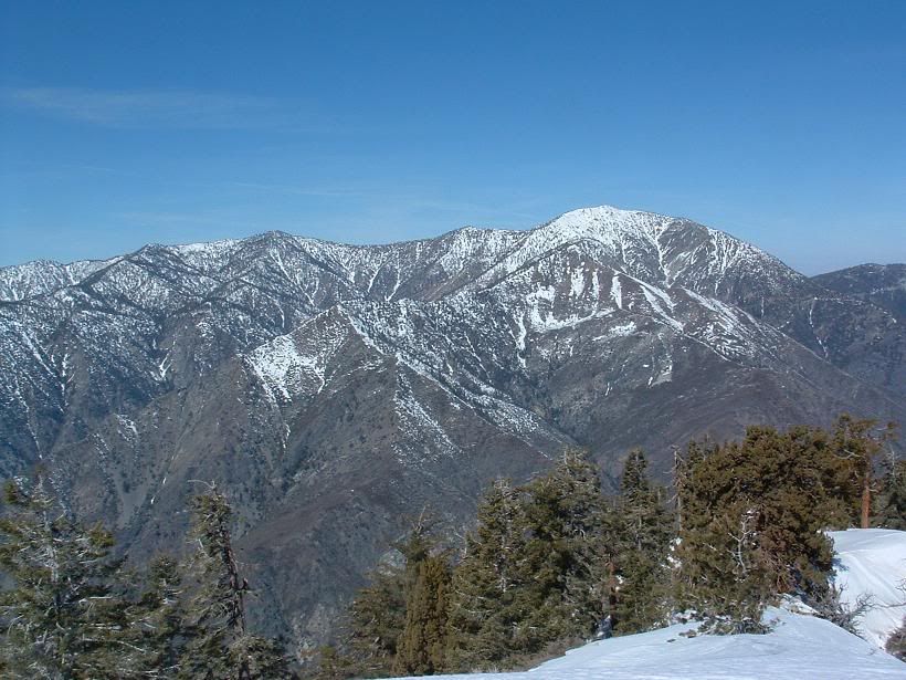
Un-named mini-ridge of what looks ot be possible badass climbing along one of Baldy's south ridges in Cow Canyon. Very steep looking cliffs.
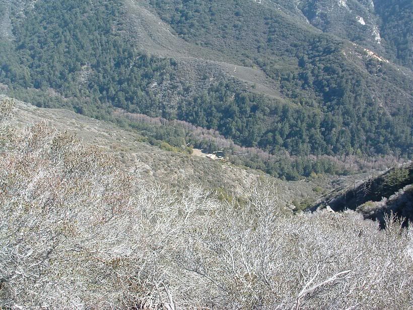
Widman Ranch? Photo from right above Heaton Saddle
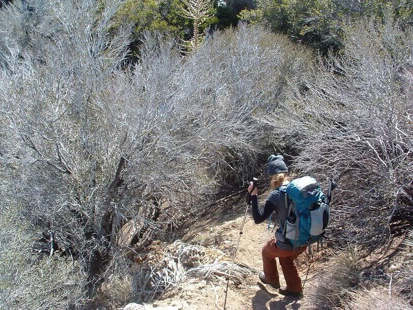
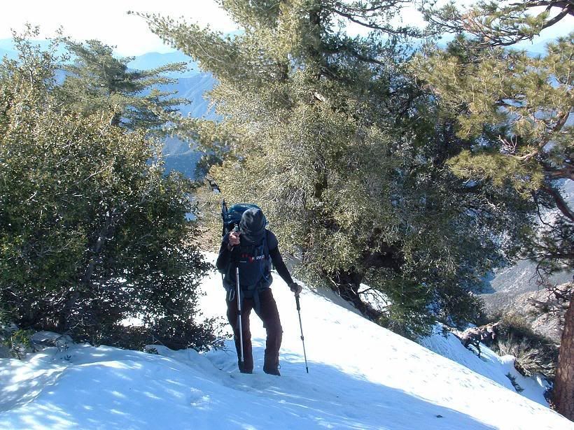
Kimmi descending
All else aside, I had a great time despite the dehydration. Kimmi, you're an animal (good thing), and I gotta bring more water next time. Kinda forgot all the times people said how they ran out of H20 here. This mountain is always within view when I'm around home... and after a few years of saying I'd climb it, I finally got there.
Augie... you've done this a buncha times... do you still have cartilage in yer knees?!?!


