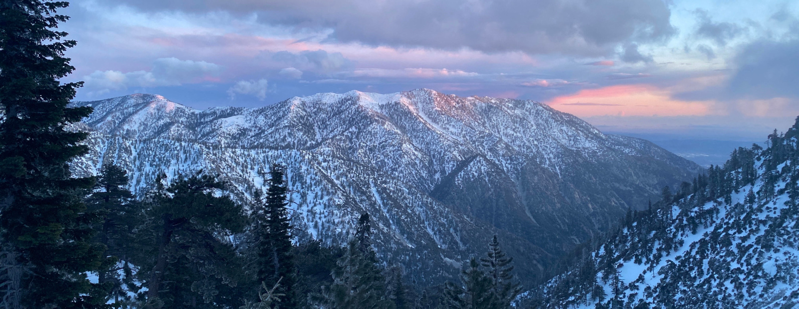

On July 4 I took the first train to San Bernardino, and started riding bright and early at 11AM. It was hot. To start an unpaved ride from the city, there's one option that makes sense: Alder Creek road. I headed that way, passing somebody riding a bike with no tires on the way; he seemed unconcerned.
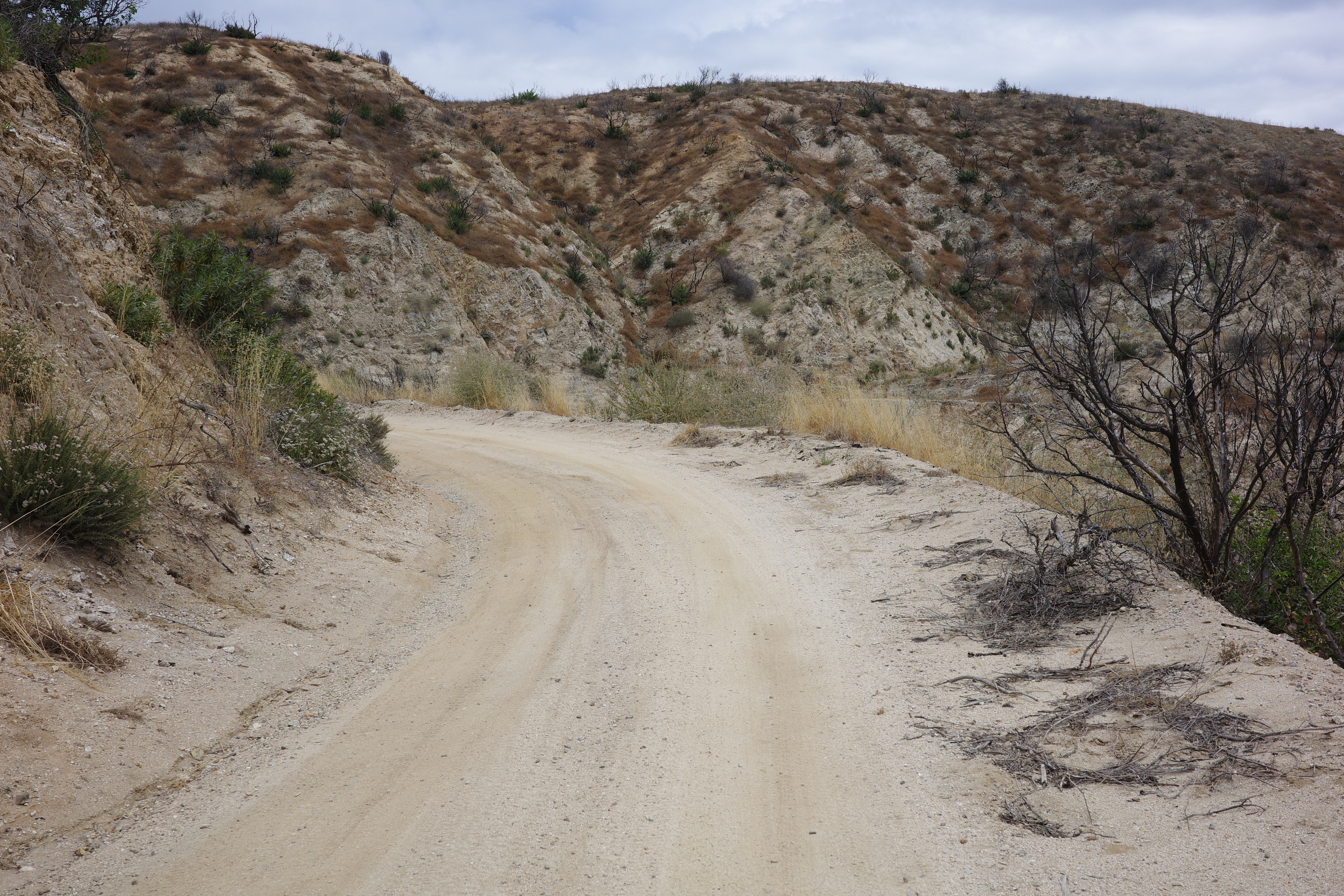
Alder Creek road is well-graded. It's open to vehicles. Probably you want some sort of 4x4, although a 2wd sedan is fine for 90% of it. Most of it looks like this:
Not super exciting. Eventually you can see the Seven-oaks dam holding back the Santa Ana river
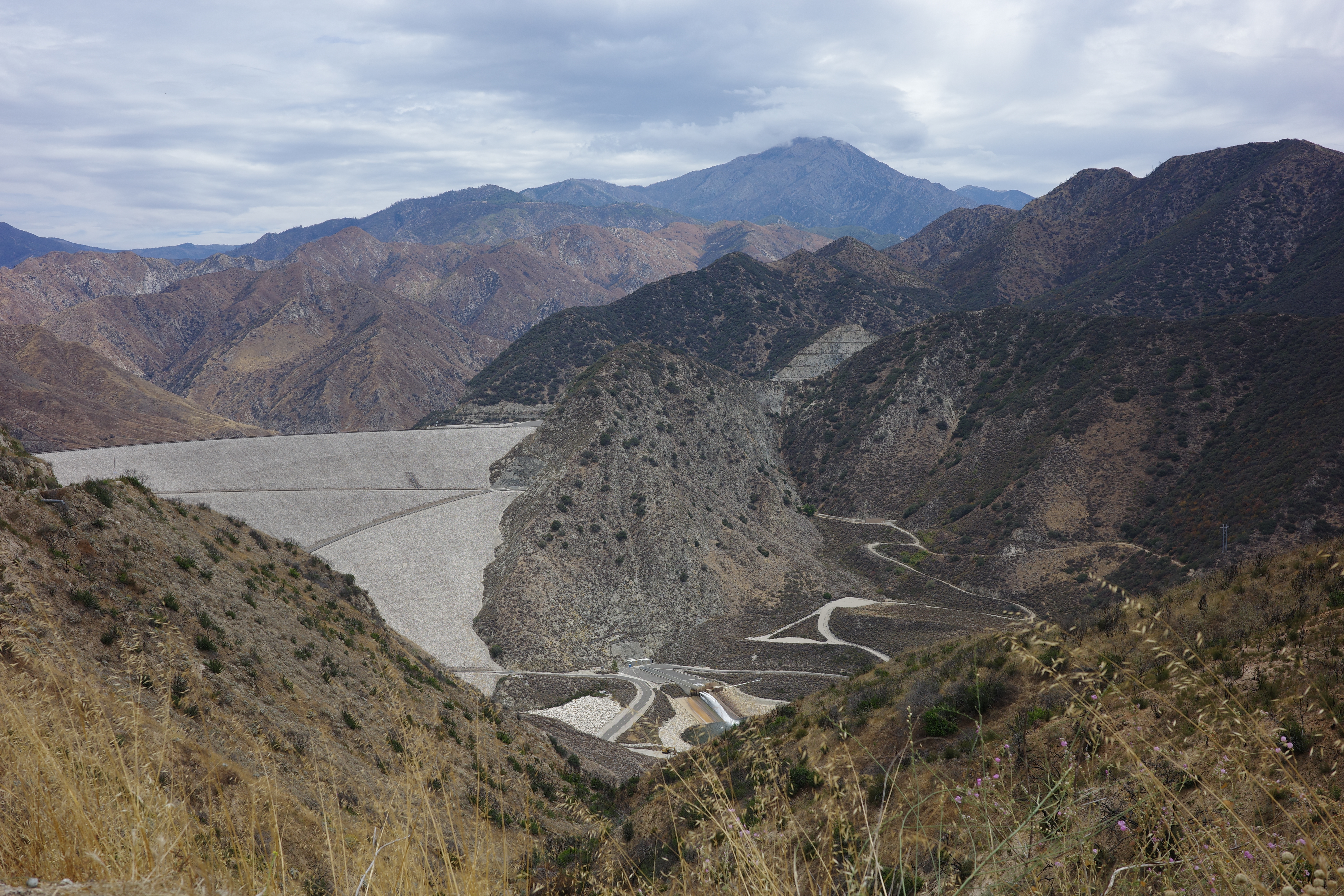
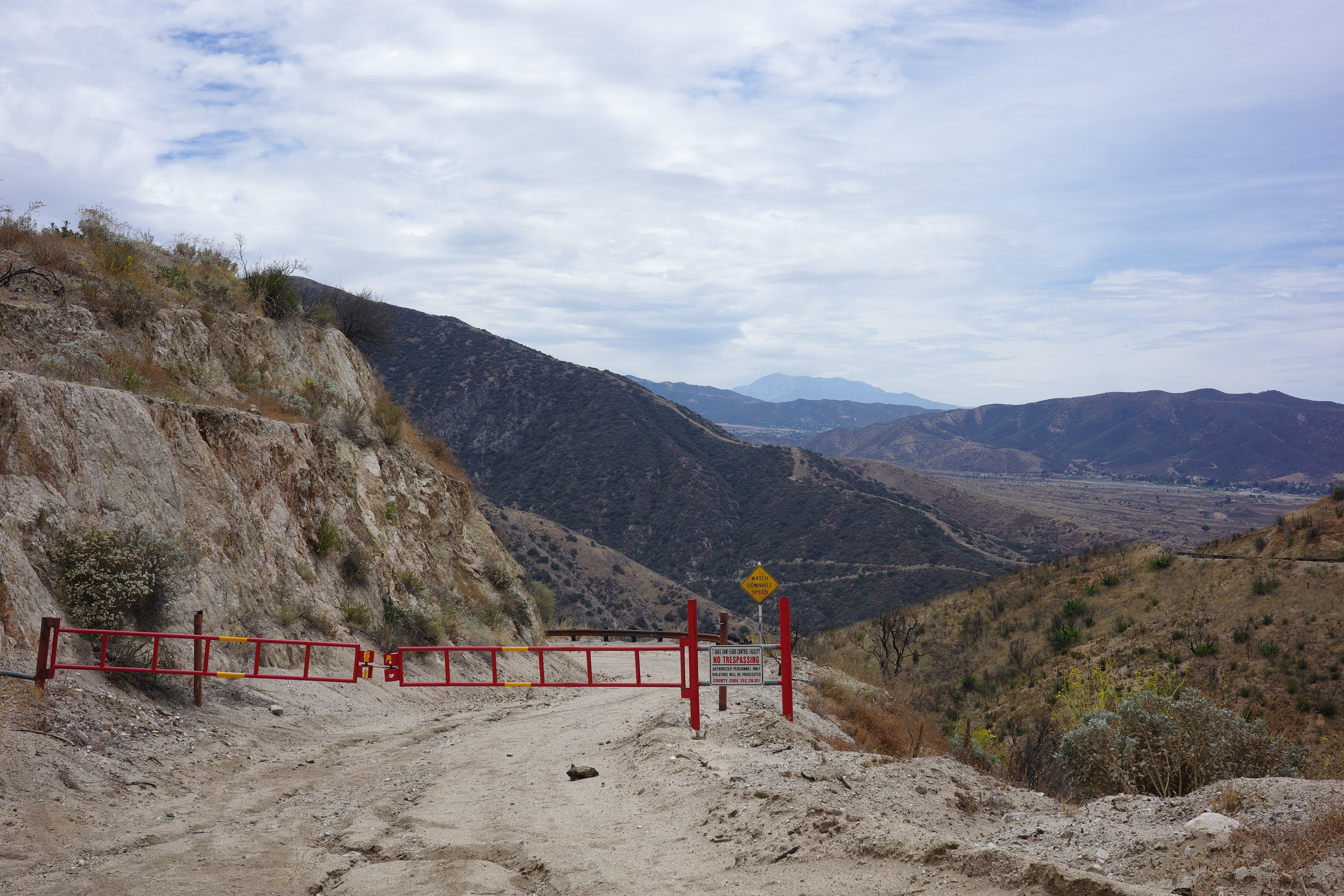
There's some sort of other dirt road that crosses the dam face, and climbs up on the other side. Probably not open even to bikes?
This whole area was hit hard by the Line fire. It's exposed, and not very nice. You can see the high ridge in the distance that wasn't burned, and you're thinking about it through the whole ride
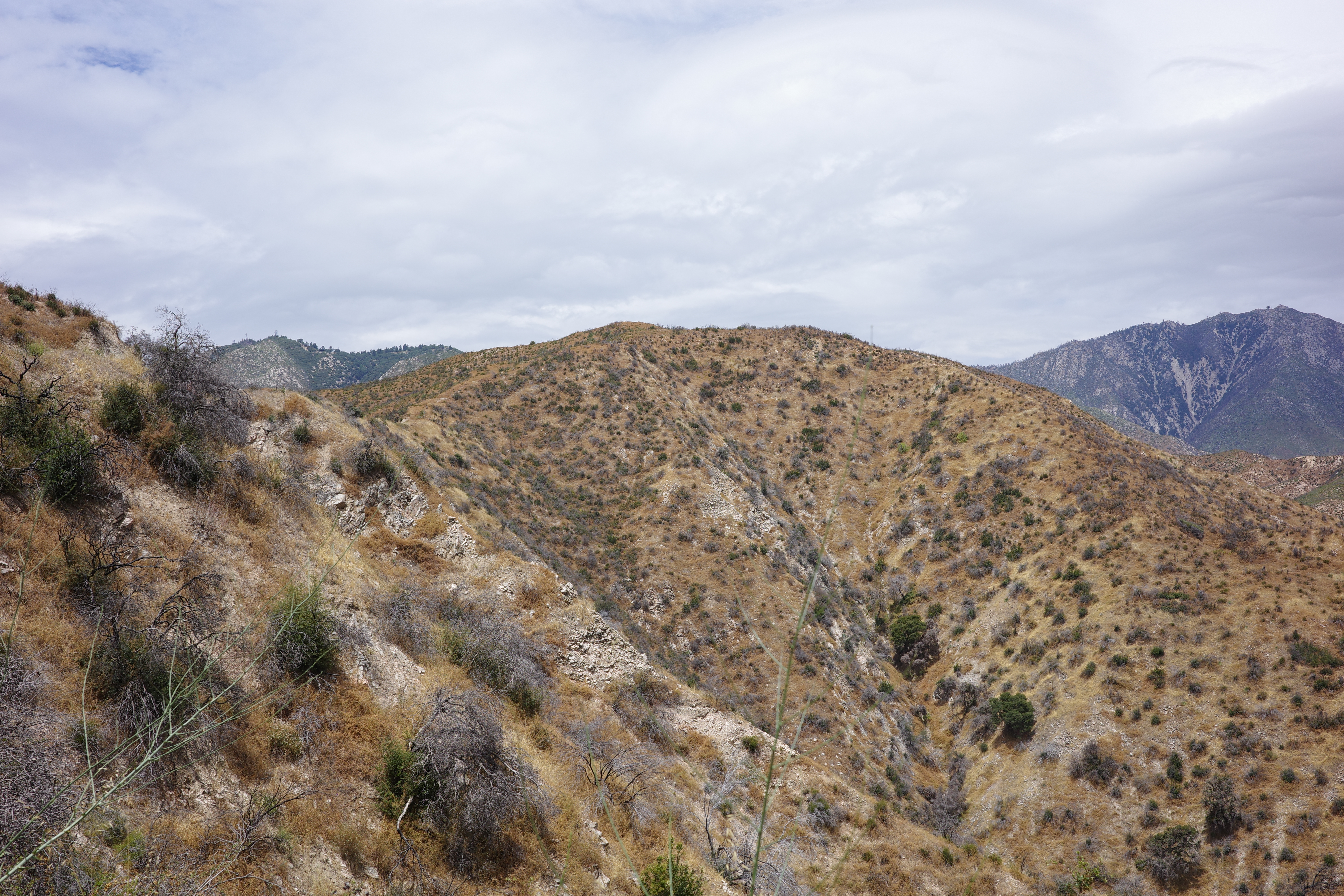
That's Mount R and Keller peak. Everything here has burned though
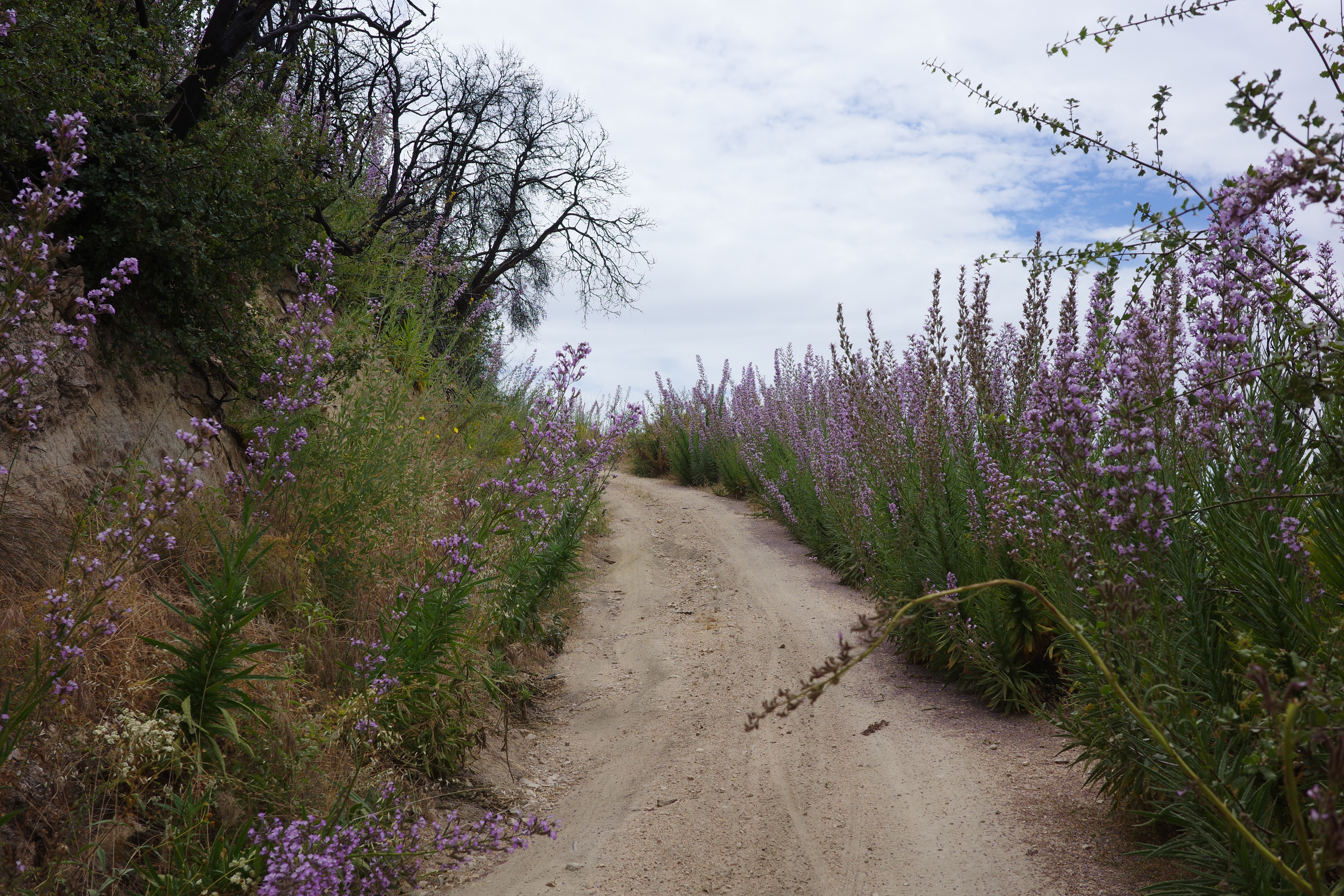
I was unfamiliar with the area, and it was warm, so I had a lot of water with me. Was sweating and drinking a lot. Eventually I got to the top of Alder Creek rd, turned R on Old City Creek rd, and crossed a creek, to my relief. Old City Creek rd runs along the edge of the burn area, so some of it is nice still.
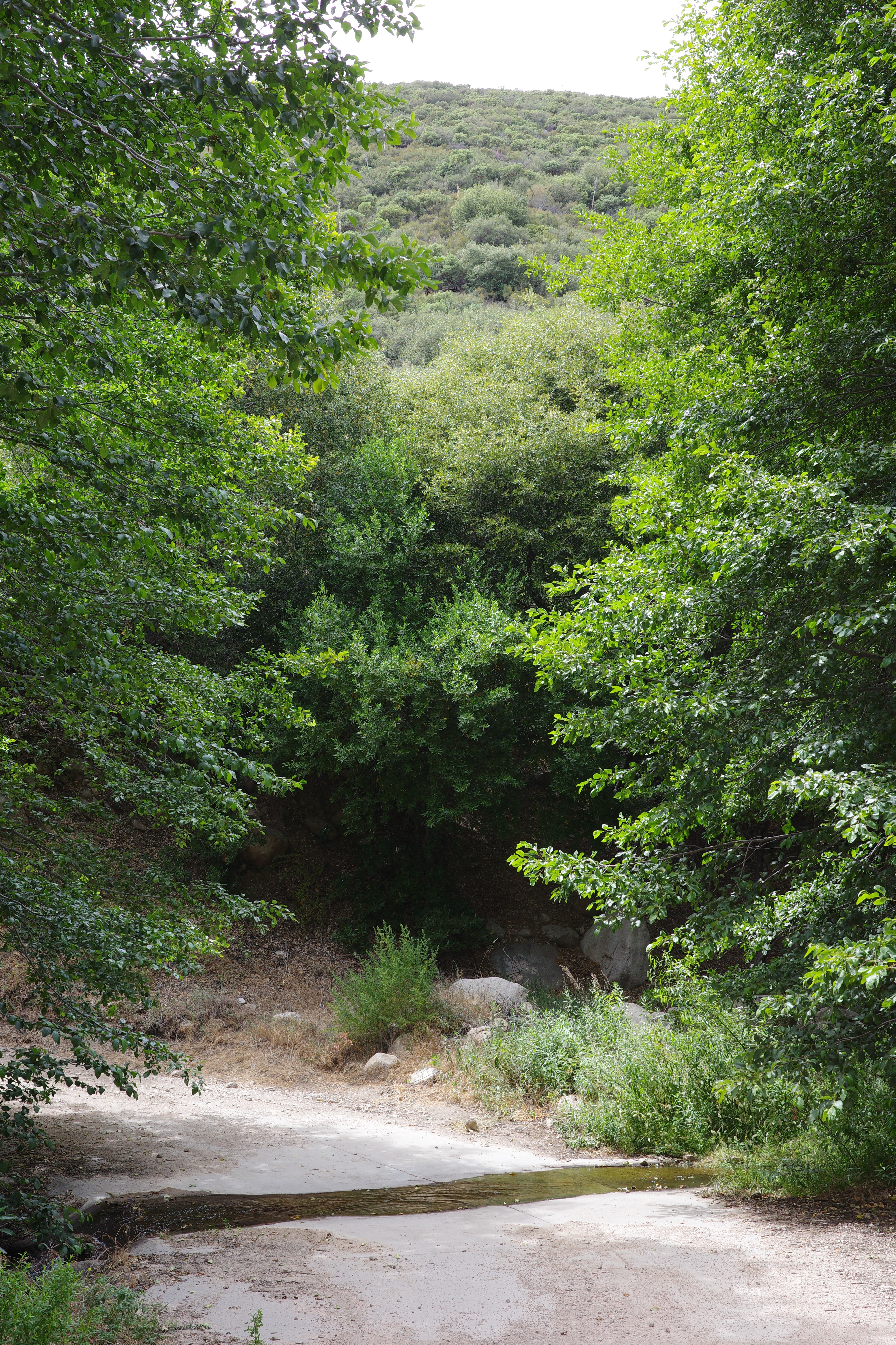
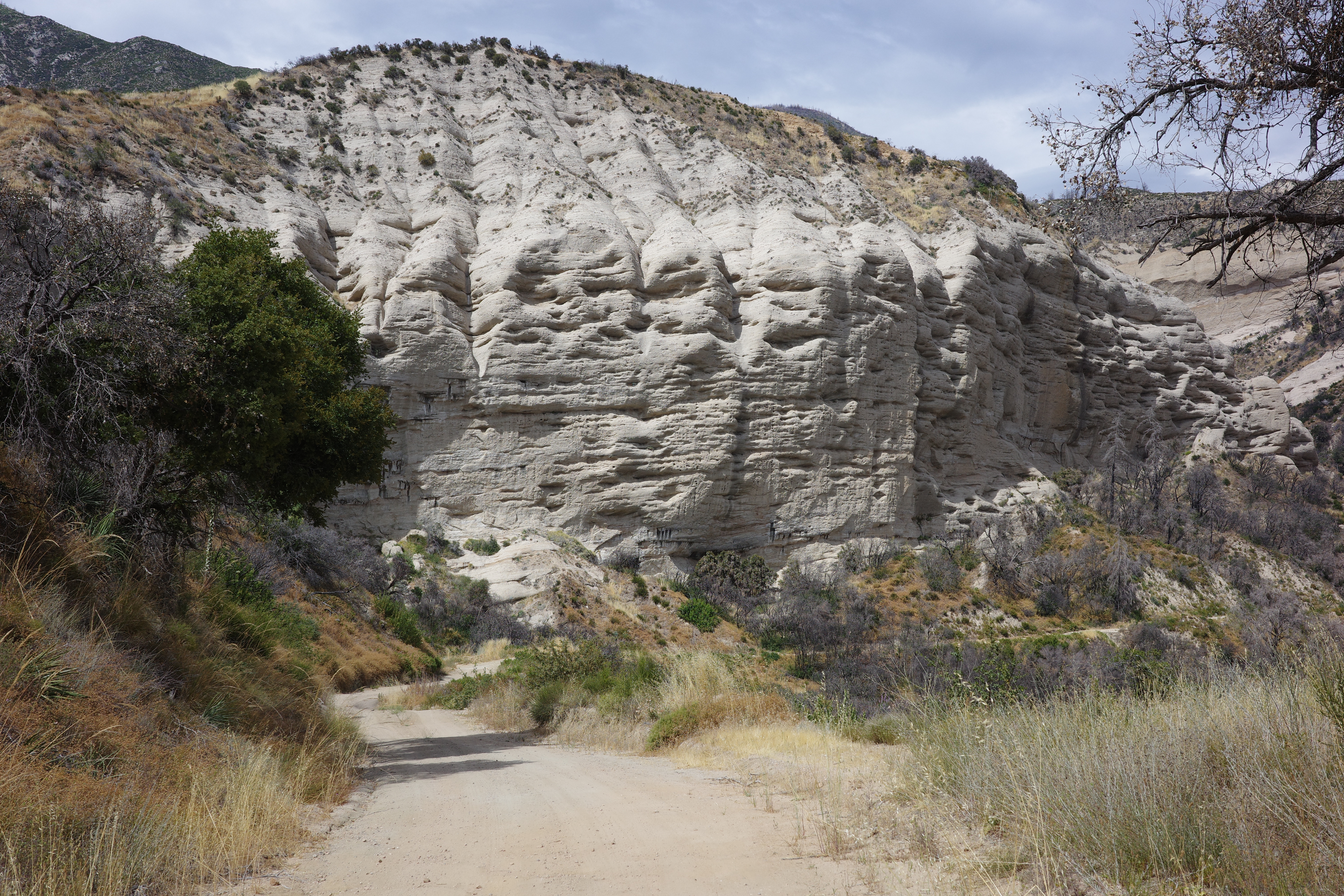
Took a long food, water break here. Filled up on a lot of water from the stream, but this wasn't really necessary: Old City Creek rd runs along the high ridge, so you're crossing lots of creeks. Alder Creek road rolled a bit, but it wasn't too bad. Old City Creek rd rolls a lot. You're constantly giving up and then re-gaining elevation. It's annoying. Seemingly forever was speng between 3000ft and 4000ft. There's some cool sandstone
The route ahead looks like this, from one of the rolling crests
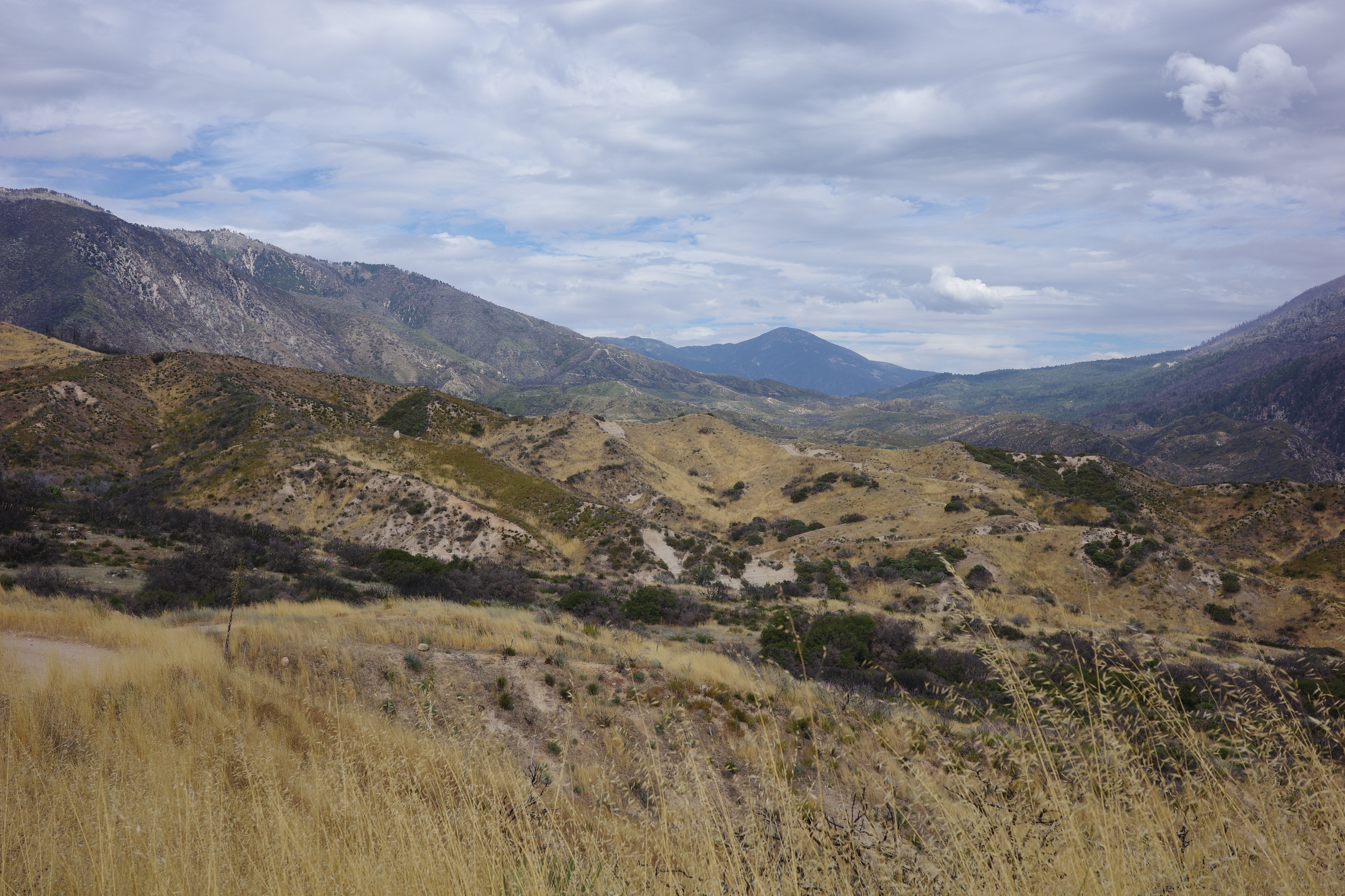
That's the Santa Ana river canyon and Sugarloaf mountain. Yes, you really do go up and over each of those ridges. Eventually you get to a big drainage coming in from the left:
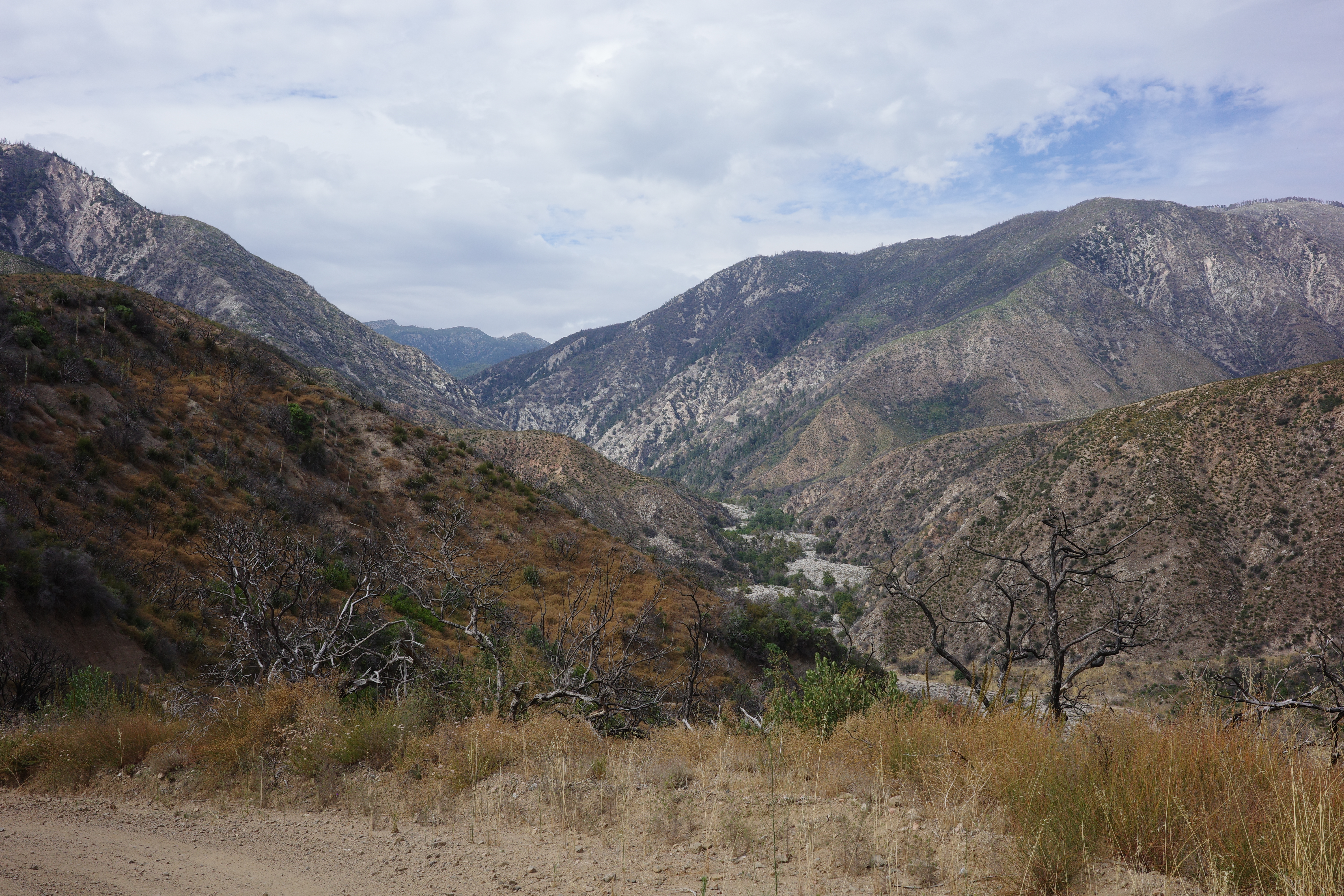
That's Bear creek, the thing that flows out of Big Bear Lake! And the high peak in the distance is Butler peak, N of hwy 18! But first things first. The view forward (E) along the Santa Ana river:
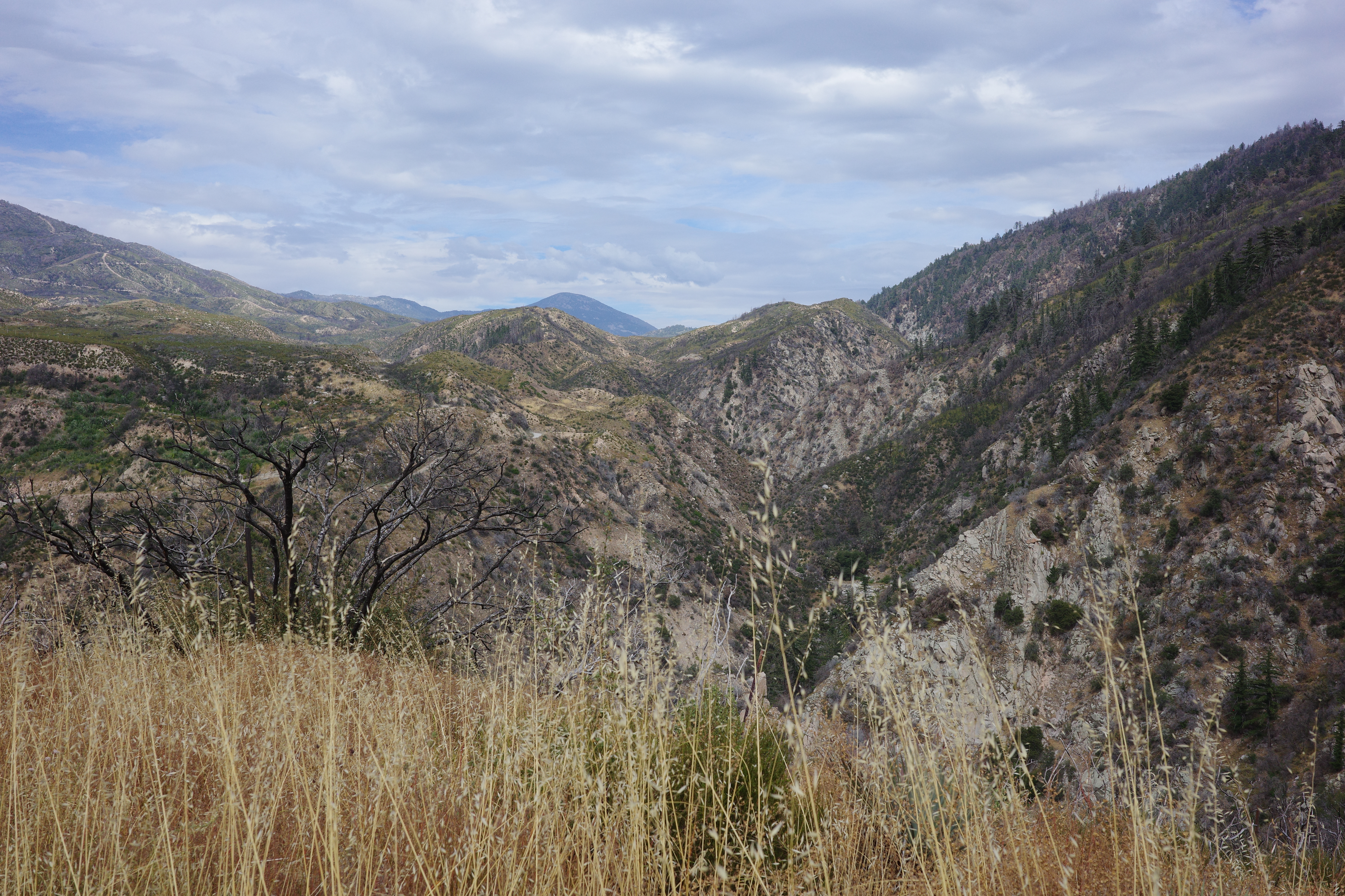
The Santa Ana river below has cool falls and dramatic green rock
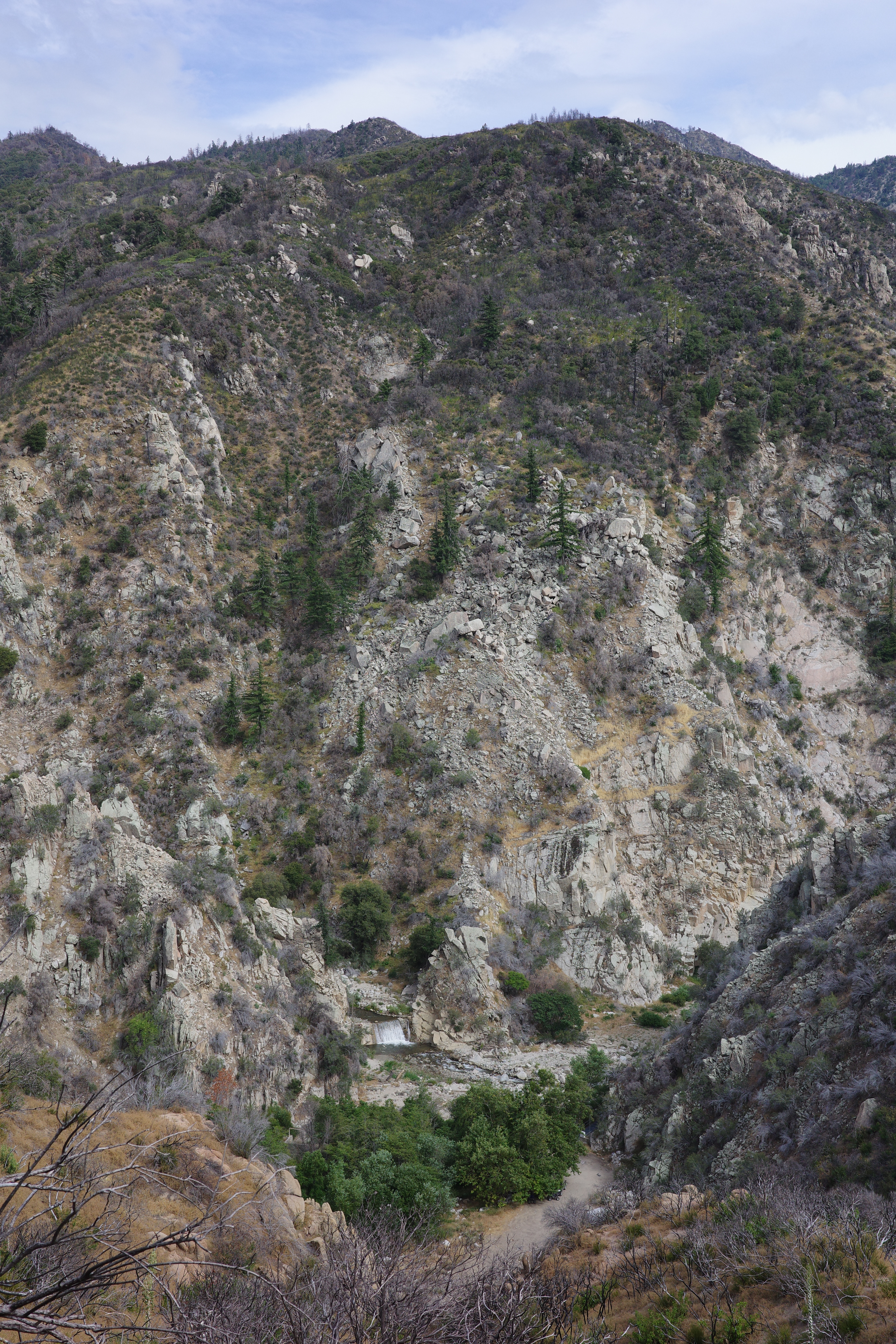
(the rock in the wall in this photo has a distinct gree hue in real life). After crossing Bear creek you get a few options about how to climb up. I was real tired of the rolling of Old City Creek rd, so I took the first option that leaves it, and climbs up: Seven Pines rd and Clark's grade. This worked ok: after I did that I only gave up ~ 100ft. This road is a bit softer than before, and I had to walk a bit. Which is fine. I had already climbed well over 5000ft, and I would now need to climb this:
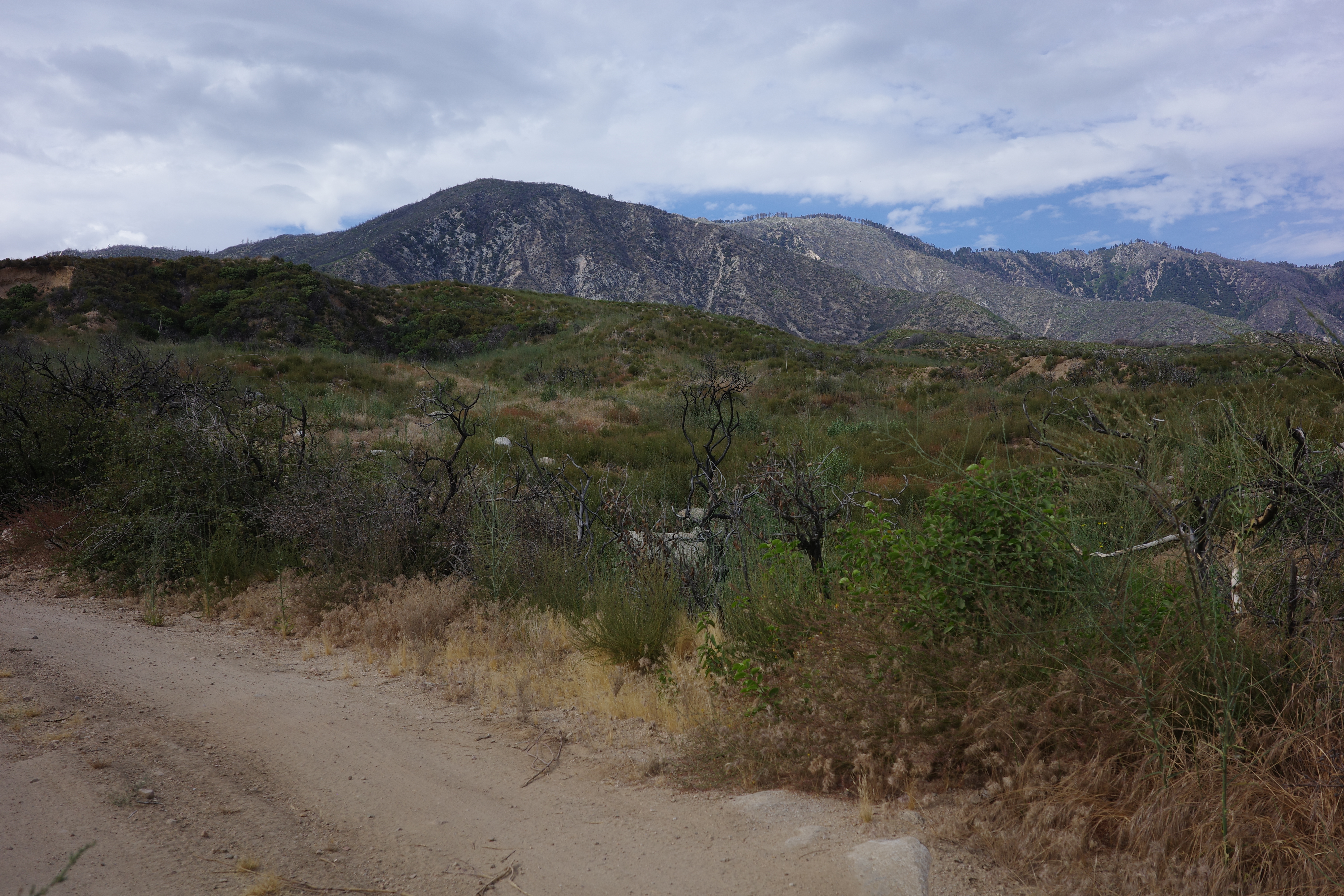
This is the high ridge above Big Bear Lake, with Lookout point in the center. At this point I was tired and overheated and underhydrated, so there was a lot of walking. The map showed "Seven Pines rd" rounding a peak called "Seven Pines". Now that I have seen it, "Seven Pines" is not a peak at all, but rather a meadow with some big trees in it. Some of the seven pines have burned, and it's now less nice than this unnamed meadow next to it
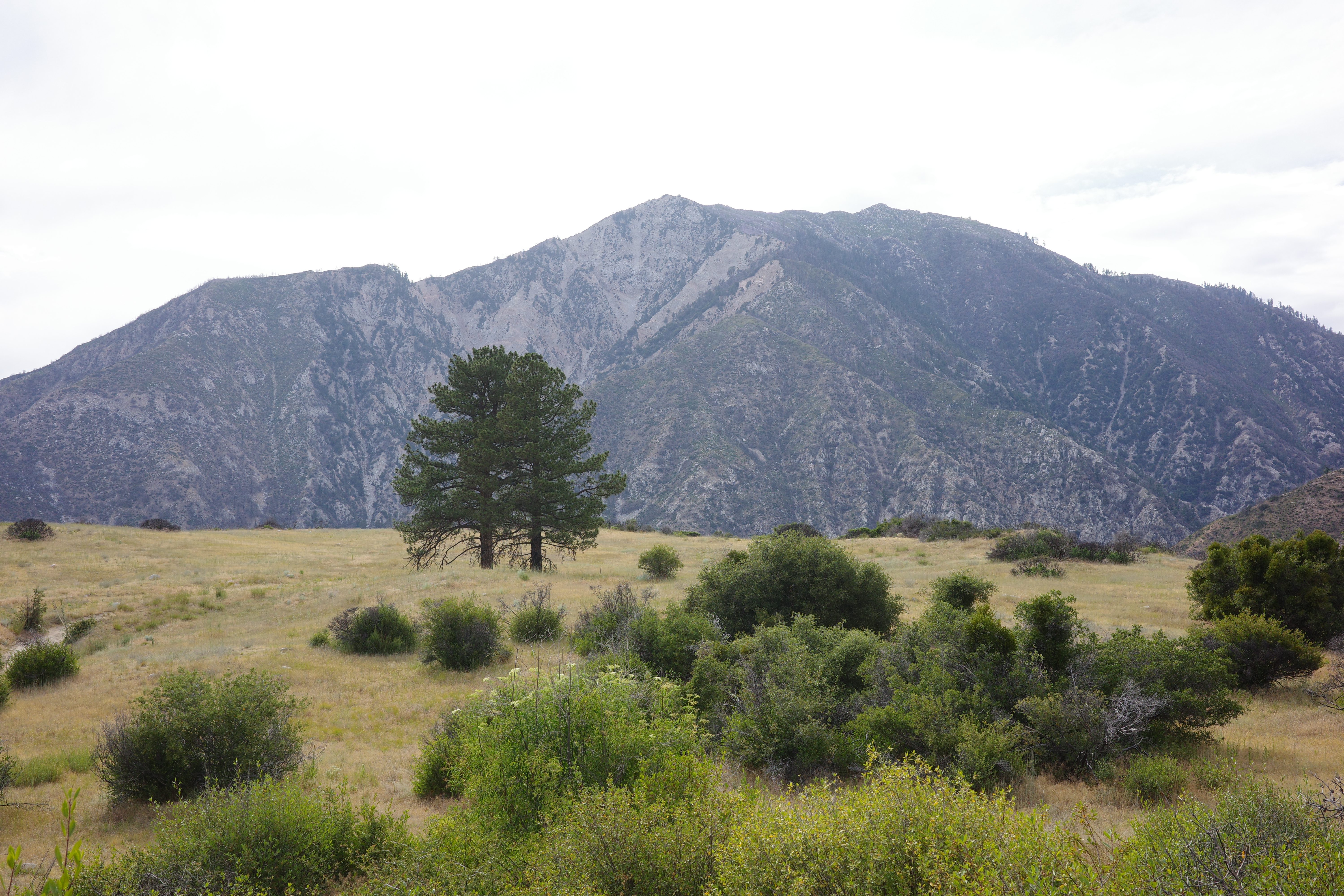
I slogged the rest of the climb (mostly walking, to be honest), and topped out right before sunset. Rode down Skyline rd towards town, passing lots of cars driving up, or camped: to see the fireworks later that night. I had visions of a cheap motel and a diner, but it was late, I really wanted to be done, so I found a flat spot next to the road, and stopped there for the night. The fireworks happened. They were loud, and I heard them. But I saw nothing behind the trees, which is totally fine.
The next morning I spooked a bobcat crossing the road. He ran up the slope, and watched me from next to a house on the hill above
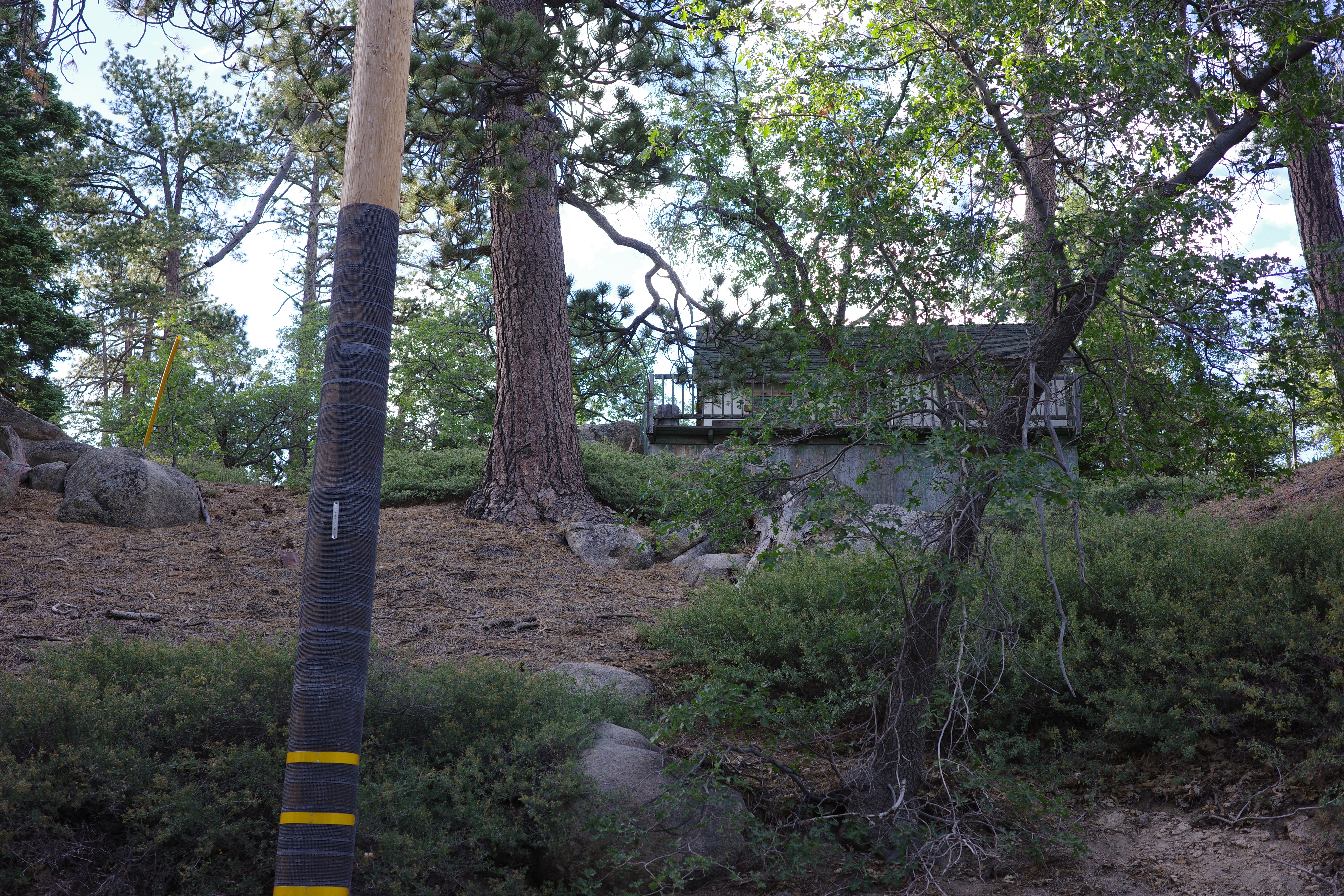
Click! He's to the left of the porch.
I found a diner, and planned my exit. It was still hot, and I still felt kinda like crap. Wanted to do some Baldy-Bruser-ish thing involving Baldy notch, but I clearly wasn't fit-enough to do day 1, and that version of day 2 would really suck. So I did a truncated dirt thing: around the lake to Fawnskin, dirt to Green Valley lake to 330. This is all in good shape. I passed West Point
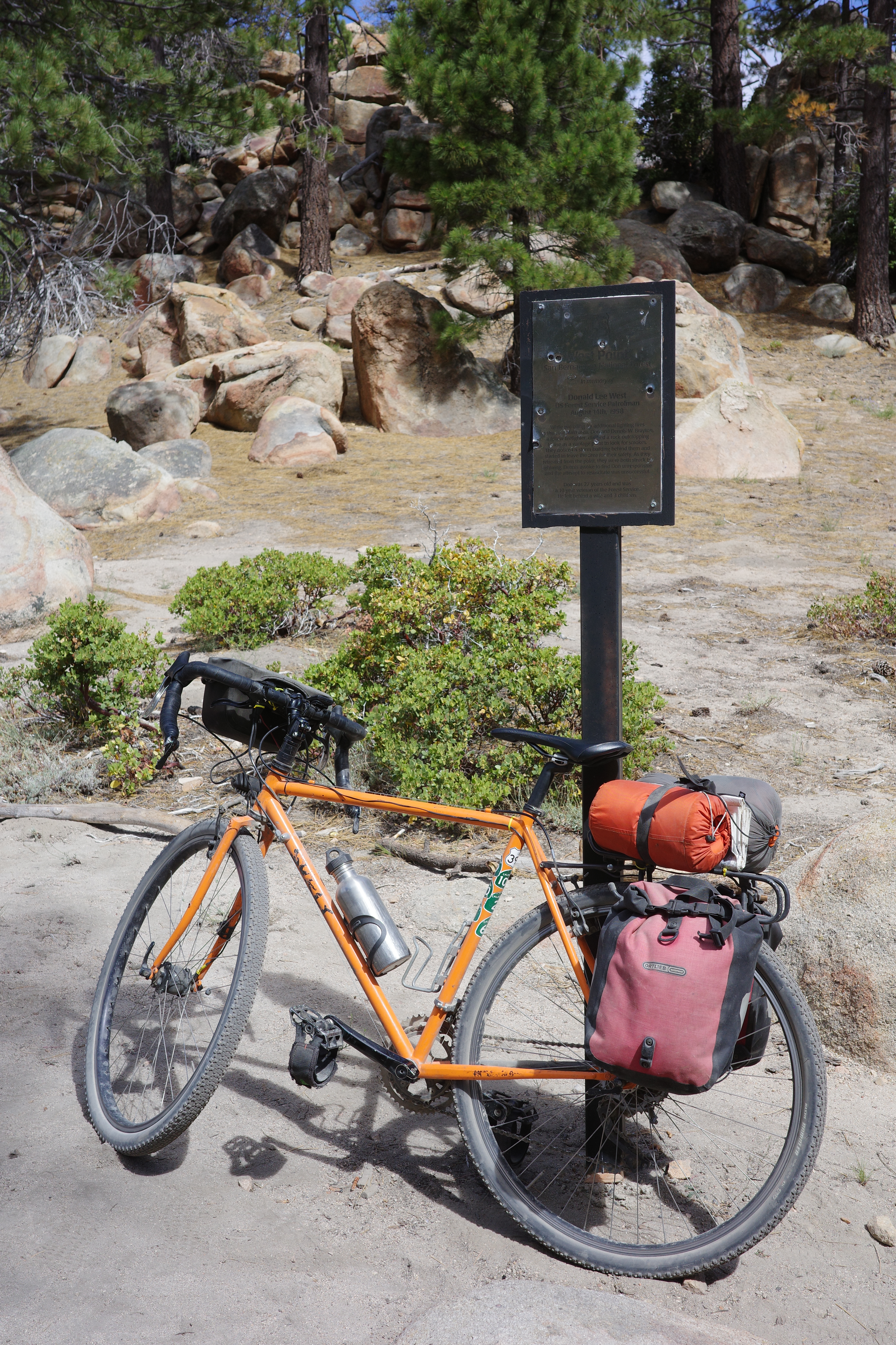
Do click and read the plaque. Saw Green Valley lake for the first time:
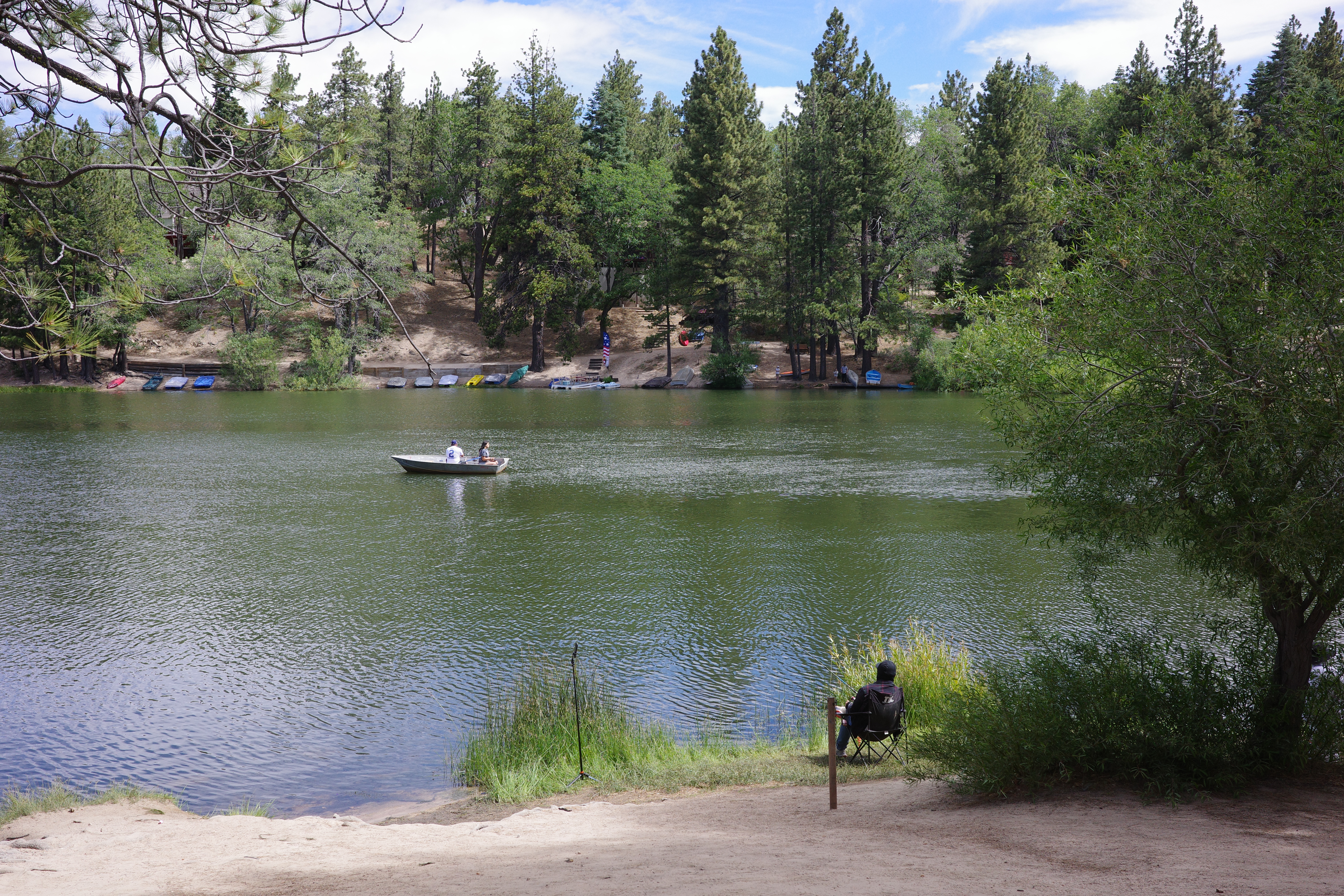
Looks chill. Lots of people fishing, both from boats and from the shore. Had concerns about 330 really sucking, which it kinda did, but there were too many cars, they were stuck in traffic that they created, and I could pass them, and generally coexist without pissing anybody off too badly.
Day 1 was ~45mi and ~10000ft gain. I was clearly not fit for that, so day 2 was ~50mi and ~1800ft gain. Doing this again, but dropping down towards Jtree on Pipes Canyon rd is clearly the thing to do next. If you want to give me a ride back, please reach out