Shoemaker Tunnel Bonanza
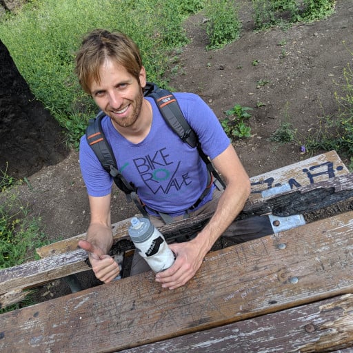
Dima proposed doing a thing like exploring more of the PL&P trail while I pondered where I’d have my next few cups of coffee that day. Dima wanted to at least retrieve his shovel he left at Shoemaker Tunnel 2 before we made other plans, since he would need it for future PL&P (“plap” for short) missions in the future. I had already had 1 cup of my Armenian coffee that morning so Dima whipped Wes and I up a cup of his Counter Culture fancy $14 whole foods coffee before we set off to the second tunnel.
We set off by bike to be quickly stopped by the shoemaker canyon washout which forced us to cross and continue by foot. The whole hike from that crossing to the second tunnel consisted of Dima pointing out the PL&P and Wes calling the whole hike we were on a PLAP. I hereby define the word PLAP as a verb to be used when hiking sections of trails adjacent to or next to the real PL&P trail.
Shoemaker tunnel 2 had a massive pool of water at the entrance so we were forced to hike around the ridgeline to the other side of the tunnel. Here, Dima brewed up Counter Culture fancy $14 whole foods coffee number 2 for Wes and I to parch our PLAPPED out bodies to prepare us for the randomness to come. Wes started to play #1 by Aphex Twin while we tried to decipher the hidden meaning of the COCK WAFFLE graffiti on the tunnel’s pillars. Maybe Taco knows the lore there…..
Wes opted to force us all to do the 5.11e deepwater solo traverse to exit the flooded tunnel. I went first and immediately fell in. I guess I gotta keep training so I can get it clean next time.
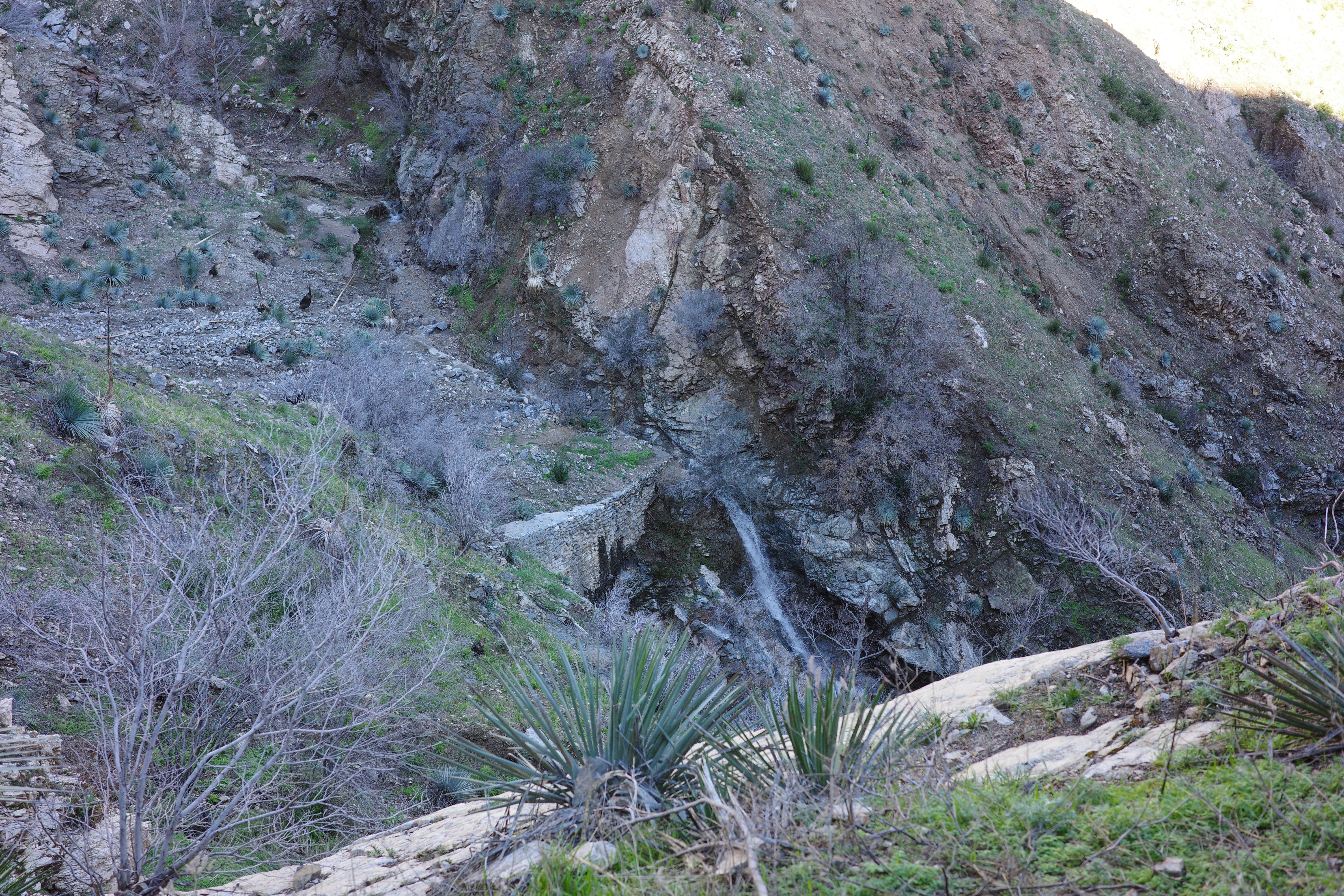
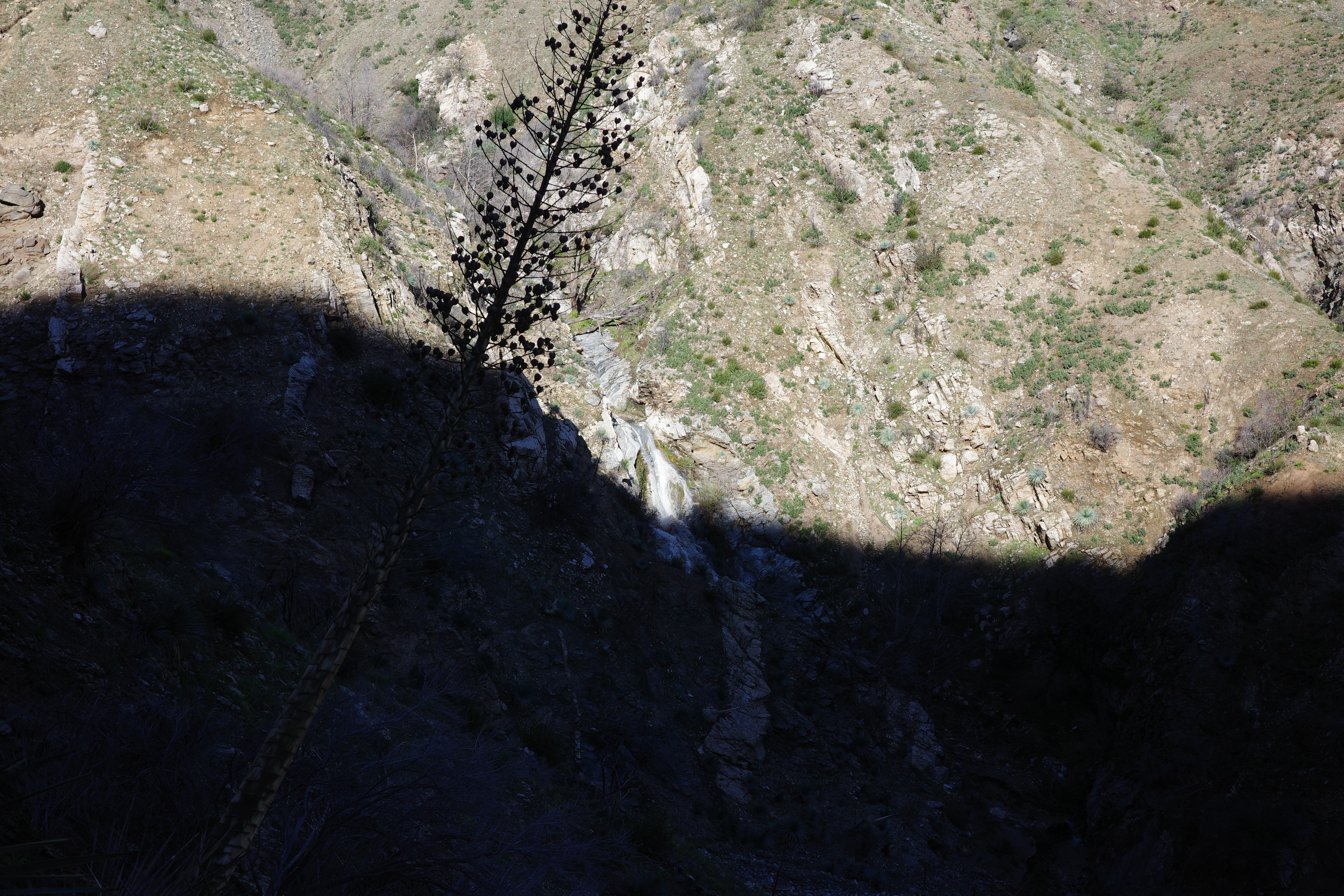
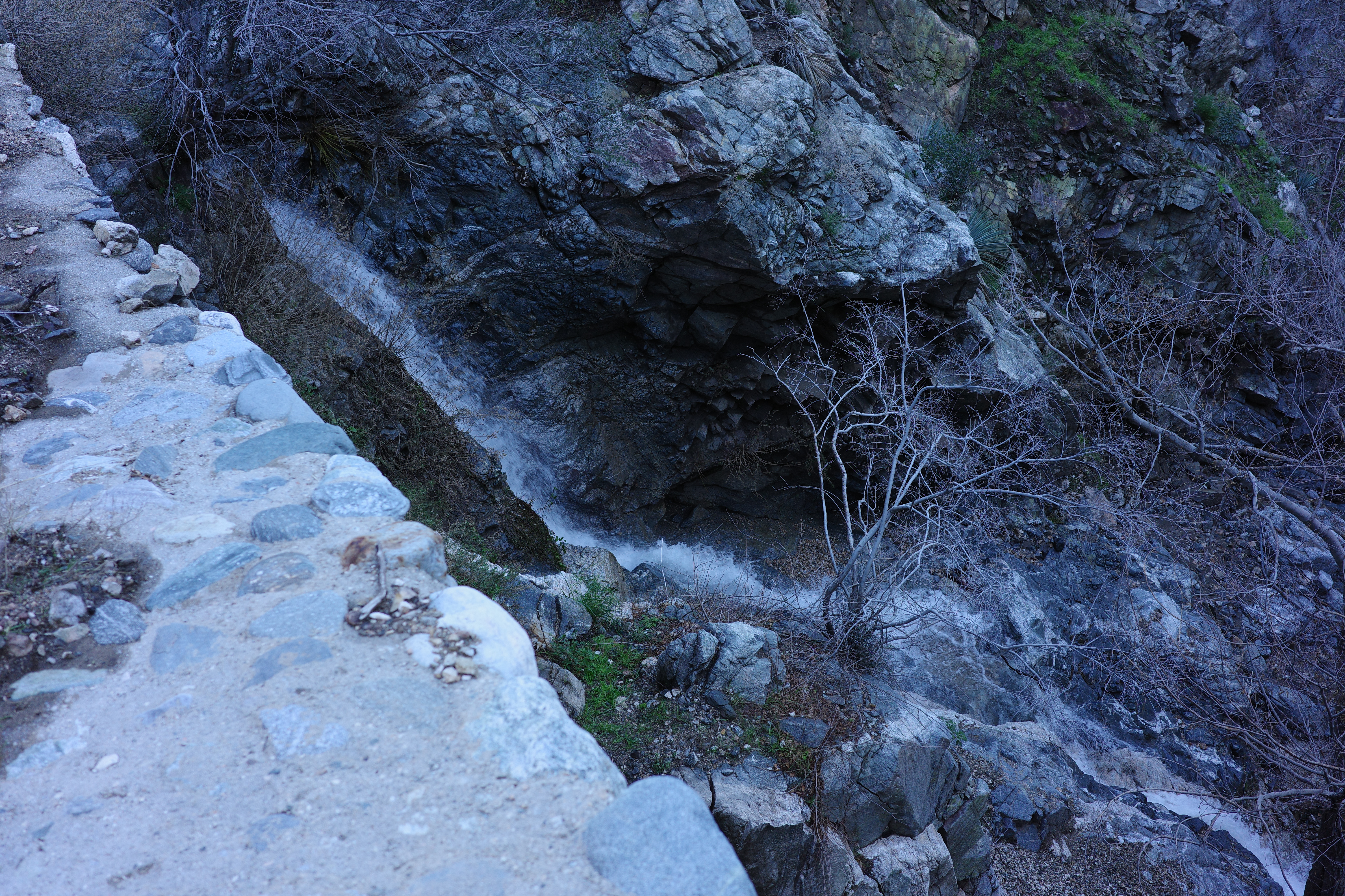
We ventured back to Shoemaker Canyon to check out this smaller tunnel whose entrance sits below the first tunnel by maybe 100 feet. We explored it to the end and it’s hard to imagine what it was used for since it had wooden supports in one section which was holding up some loose rock. It’s hard to believe it was a water drainage tunnel since the water would destroy the wooden supports holding up that section but maybe one of YOU might know what it was used for and why it was built. At the end of the tunnel, we noticed some pretty waterfalls and dams that were built at a minor fork of Shoemaker Canyon so we went to go check those out.
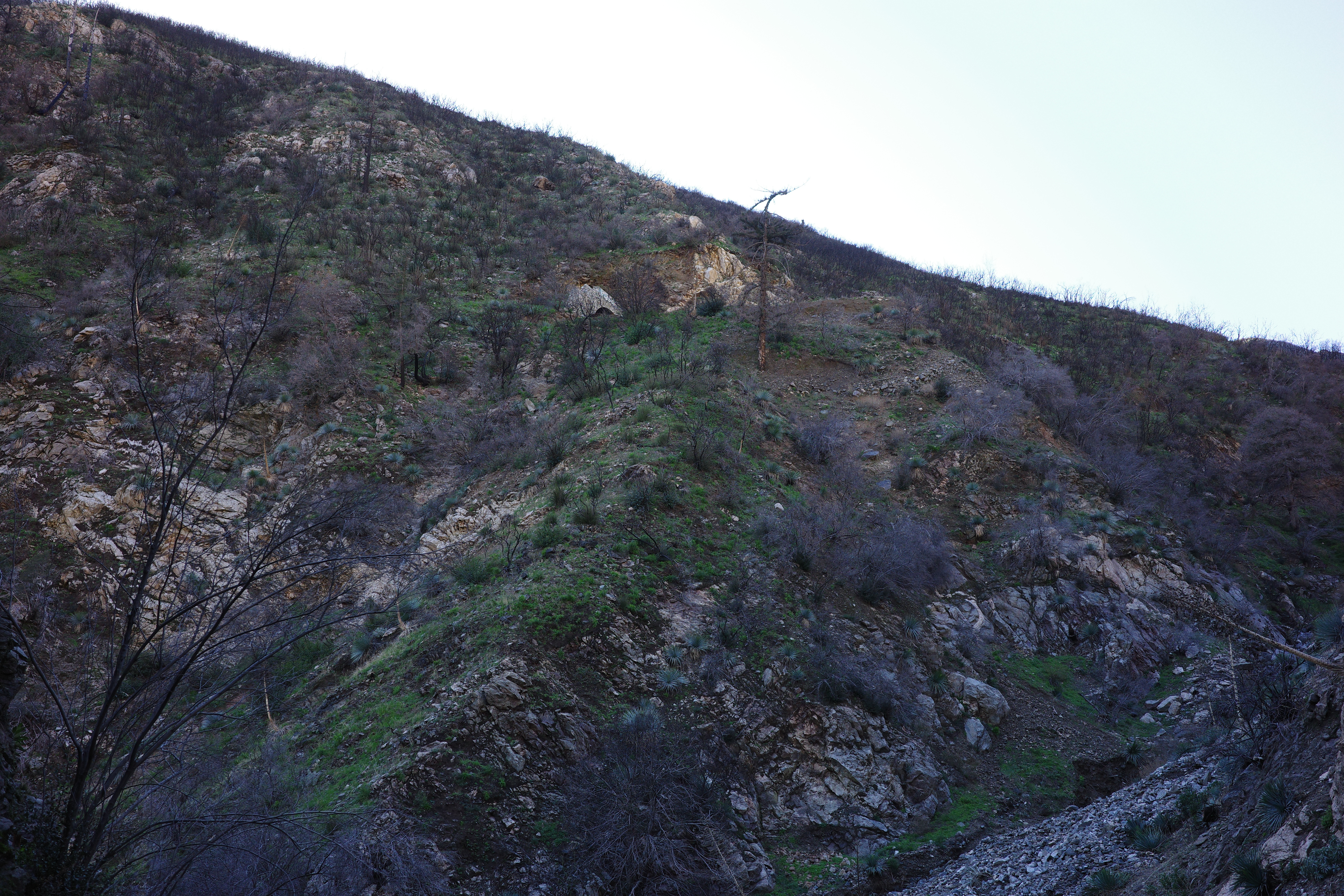
Shoemaker canyon is pretty washed out from the rains and wildfire so there’s plenty of loose boulders and crazy erosion to see. The dams that we saw from above were filled in with debris and we also don’t quite know what their purpose was. My guess is that they were built to collect debris during the construction of the Bridge to Nowhere road but maybe Taco knows the true history there. We discovered this pretty step waterfall next to the dams which really iced out the cake for us that day!
The ride back to the cars was pleasant and fast.
Sometimes, spontaneous adventure on a day that has no plans is the way to go!
We ate a lot of Korean food after in Korea Town