Sometimes a hike is for fun, sometimes it's for a purpose and sometimes it beats the hell out of you. We got all three out of this hike.
We hit the trial shortly after six from the Momyer trial head. Easy going for the two mile or so then you hit some sections that are truly in need of repair, in the last mile or so before the split with Alger Creek/Falls Creek Trail. We turned left at this signed junction and headed up the ridge line.
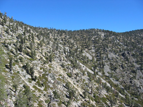
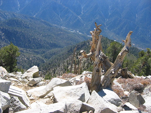
For those of you who have not done this trail the next mile is a graveyard of fallen trees. Must have been 100 or more trees that have fallen over the years from the bark beetle. Some fell down in clusters of five or six together. The biggest tree stricking others near by and they all came down together - obliteration most of the trail section below them. It was not extremely difficult to pick up the trail but you had to use your trail finding skills in at least three of four spots where tracks went in two ways over these downed trees. But for the most part the trail is up and to the left staying on that shoulder that is above the big bowl on the south side of San Bernadino Peak East, Anderson and Shields.
Once we gain another 600 or so feet over a ridge line (after the trees at the 7,600 to 8,200 ft elevation section) we started up that section that everyone warned me about that has nothing but manzanita/thickets with thorns for 1,200 feet and covers most of the trail and not very well maintained at all. Two of the five of us went with shorts even though I made it clear to everyone to wear pants and boy did they pay the price.
Once we reached the 9,600 foot ridge line it was back to normal trail, just a touch of boulder scrambling but mostly easy tread all the way to the junction of the San Bernardino Peak Divide Trail and the Momyer trail we came up on. Surprisingly we ran into a couple (Patrick ? and his girl partner) who were doing a loop of the Forsee Creek Trial to the Summit of SB East, Anderson, Shields, Alto Diablo and one other if they had the strength to keep going. They showed up at the summit of SB East a mere 5 minutes after we did.
It took us just under 6 hours to summit as we carried a double load of water of which we stashed half of it for the 9 Peaks attempt we are doing on the 8th of Nov., that combined with all the obsticles made for slow going but we had a great time. When we finally reached the trailhead back at Forest Falls the tempeture was 85 degrees, dry and hot, just what you would expect for the south side of the Bernardino's - we finished at 3:20 PM.
I'll try to post pictures tomorrow as I'm in the middle of five things right now and do not have time.
Lilbitmo
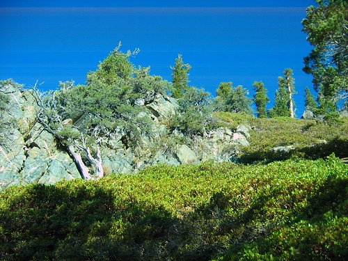
On the way up, past all the dead fall we come upon the thick Buckthorn and Manzanita.
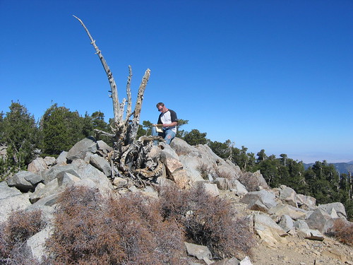
Looking up the from the trail at the last 800 feet of the bowl between SB East Peak and Anderson Peak, trail is real clear in this area.
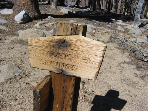
Not to hard to figure out where Trial Fork Springs is located with these signs
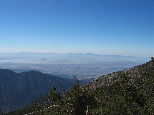
Views from the top looking down at Forest Falls
Views from the top looking at Saddle Back and Lake Perris and Valleys
More of the same
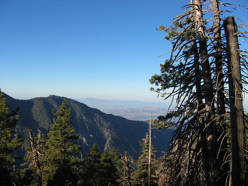
Looking due East towards Charlton, Jepson and Gorgonio behind those

Scott the new guy logging in on the trail register at Summit of SB East Peak