

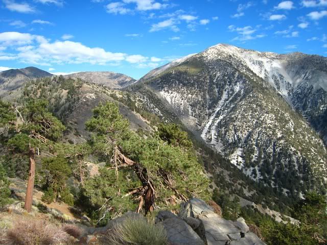
I started at 5am and took the Ski Hut trail up. The moon was still bright, so I only used my headlamp in the shaded areas. I met 4 other hikers when I got to the top of Baldy just before 8am. They came from the Devils Backbone and had started around 4am. I continued on to West Baldy and took the northwest ridge down to San Antonio Ridge. This 2000' descent was pretty steep. At the first saddle is a grove of buckthorn. You can bypass this by staying on the northeast side.
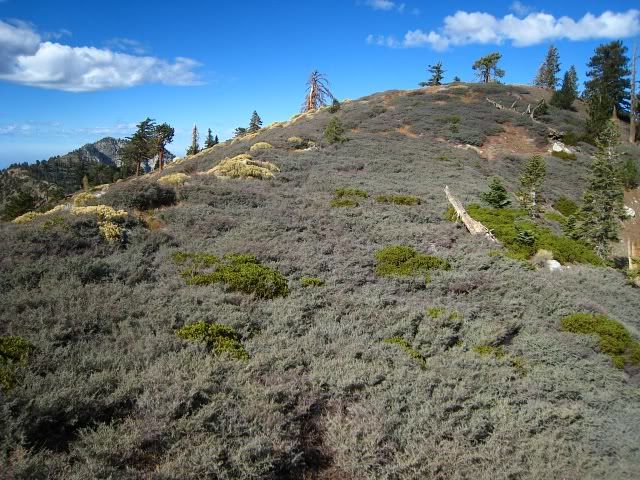
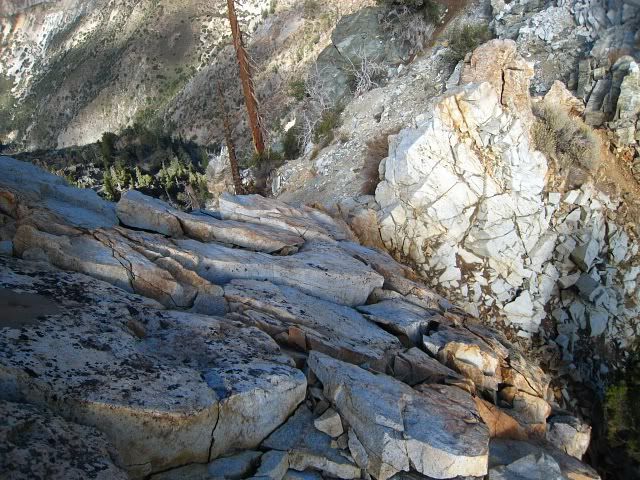
San Antonio Ridge continues northwest until you reach the 7903' peak and then it turns slightly southwest towards Gunsight Notch. There are 5 or 6 groves of buckthorn along this section. It would be suicidal to try to punch directly through them. Luckily you can bypass all of them by contouring on the north side of the ridge. In fact, there is a faint use trail on that side if you look carefully.
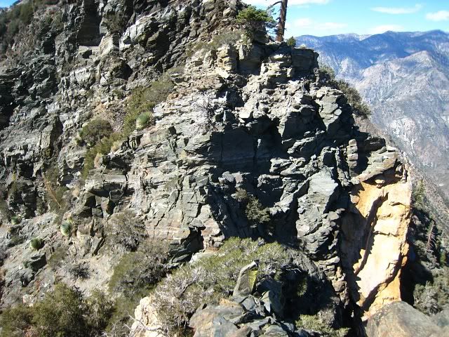
Gunsight Notch is the first notch after Campsite Peak. There are several more notches after that on the way to Iron Mtn. Each notch has vertical rock on either side that must be downclimbed from either approach. Gunsight Notch is the narrowest, about 5' feet wide, but the top of the notch is only about 2' wide with steep slopes dropping off on either side.
I had a very close call at Gunsight Notch on the return trip. The ground here is very hard with a thin layer of gravel on top, so it's very slippery. I was looking at some rock that I was about to climb when I slipped, fell on my back and immediately started sliding down the north side of the notch. Fortunately, I had my hands on the tree roots next to the rock and I held on for dear life. Dude, I was like Indiana Jones! I was able to stop the fall and climb back up.
The climbing along this rocky section to Iron is doable, but it is intense in some spots. It consists of sections of Class 3 vertical rock 10-15’ high, then some scrambling, then more vertical rock. I took my time and tried to be light on my hands and feet so I wouldn't put a lot of pressure on any one spot. The rock is stable for the most part, but some of them have deep fissures and/or actual gaps that you could look completely through. This was a bit unsettling.
The route is dangerous and you can kill yourself here. You can't be afraid of heights either because when you downclimb, the exposure is right in your face. Also, my advice is to always have at least three points of contact when you are in a potential fall zone.
The return trip was dreadful. I was ill and kept throwing up but nothing came out. My legs starting to cramp up. I didn't know how in the world I was going to make the 2000' climb back up to West Baldy. That mountain looks so freakin huge. I wondered if I had pushed it too far this time and if I would I have to be rescued. I was trapped on this side of the mountain and that climb was the only way out of here. There was no choice but to do it.
It was really tough. I wanted to give up a few times. I tried to not think about it and just keep climbing. Other times I'd check my GPS and think 1800' till freedom...1500' till freedom...1000' till freedom. At 9,000' I above tree line and the sun was setting. I had one of the most beautiful views of the Los Angeles basin and all the city lights that I have ever seen. Yet I was completely alone with my single headlight piercing into the blackness of the nearby mountains.
I didn't reach West Badly until 7:20pm. I finally got back to my car at 9:30pm. So that makes 16.5 hrs of hiking and climbing. Ugh.
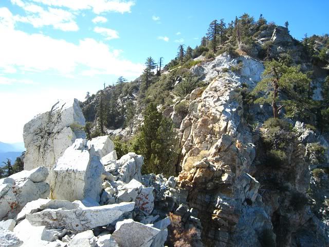
West Baldy and San Antonio Ridge
Buckthorn City
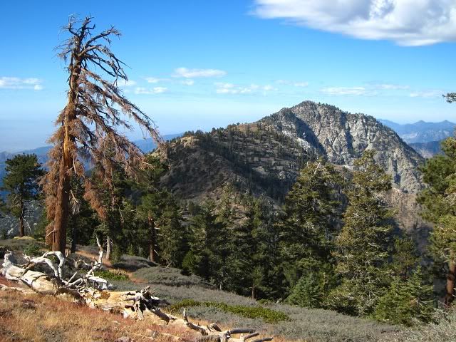
Iron Mtn looks deceptively close, but it's still very far. Campsite Peak is up ahead.
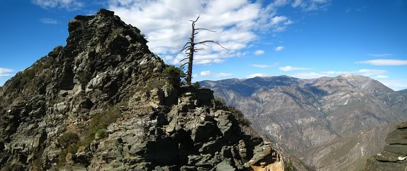
Gunsight Notch and Mt. Baden-Powell
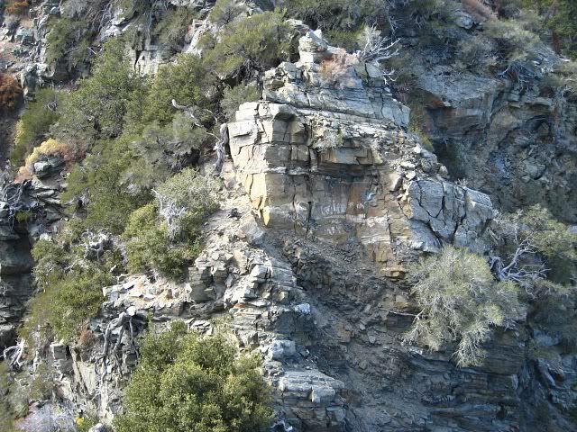
Closeups of some of the terrain
Almost to Iron
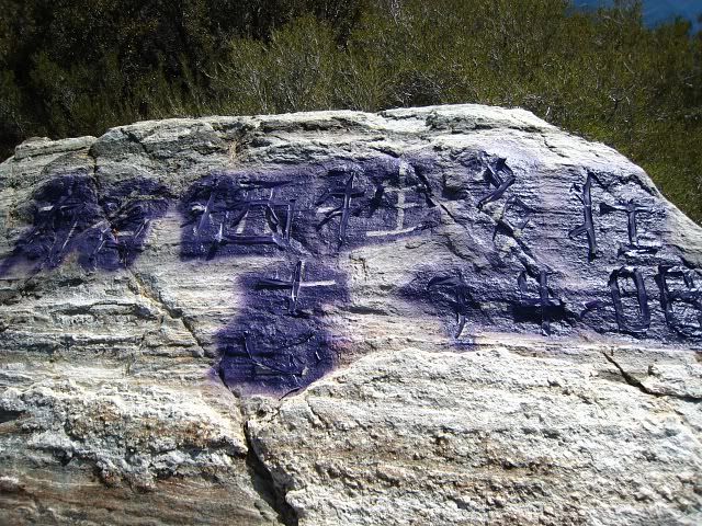
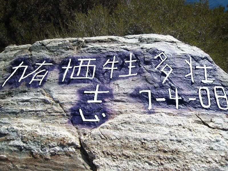
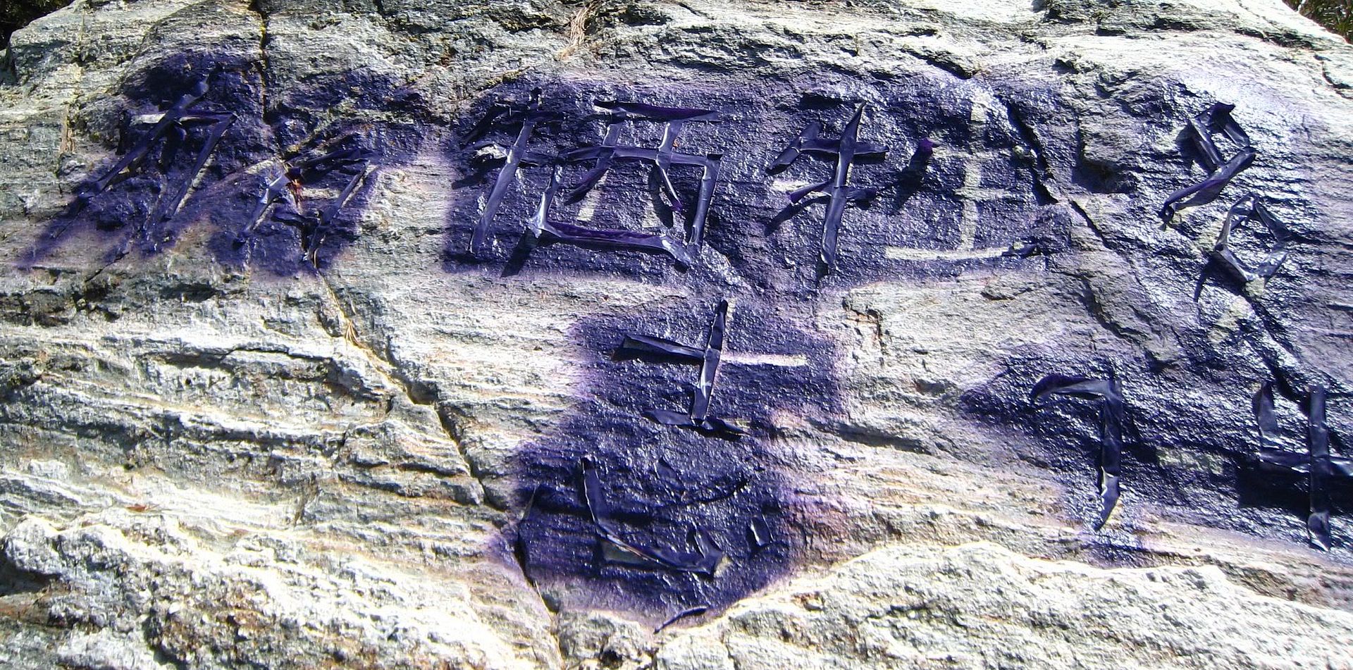
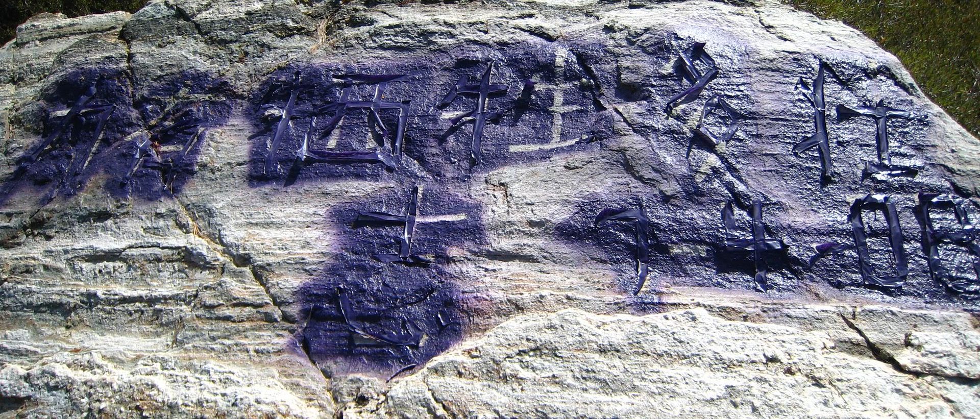
This is pretty disappointing. This is the rock just east and a little below the summit. At first I thought it was taggers but what kind of tagger would climb all the way up to Iron to mess up a rock? But the lettering looks Korean.
View of the downclimb


