The trail follows Indian Wells Spring which was completely dry. Deadfall blocked parts of the trail, but use trails had been worn around them. With one mile to go, I thought I had overestimated the difficulty, but the last mile packed about 1800' of gain. Many cairns dotted the trail as it got steeper. I made a mistake at 7400' and missed where the trail stayed left. This led me up a white boulder talus field instead of the dark boulder talus field on the main trail. I did find footprints and occasional cairns off trail so it was a fairly common mistake. I found a way to make it go, at the price of some exposed class 3 and slab work. At 8000', I rejoined the trail. It remained steep and slippery the rest of the way.
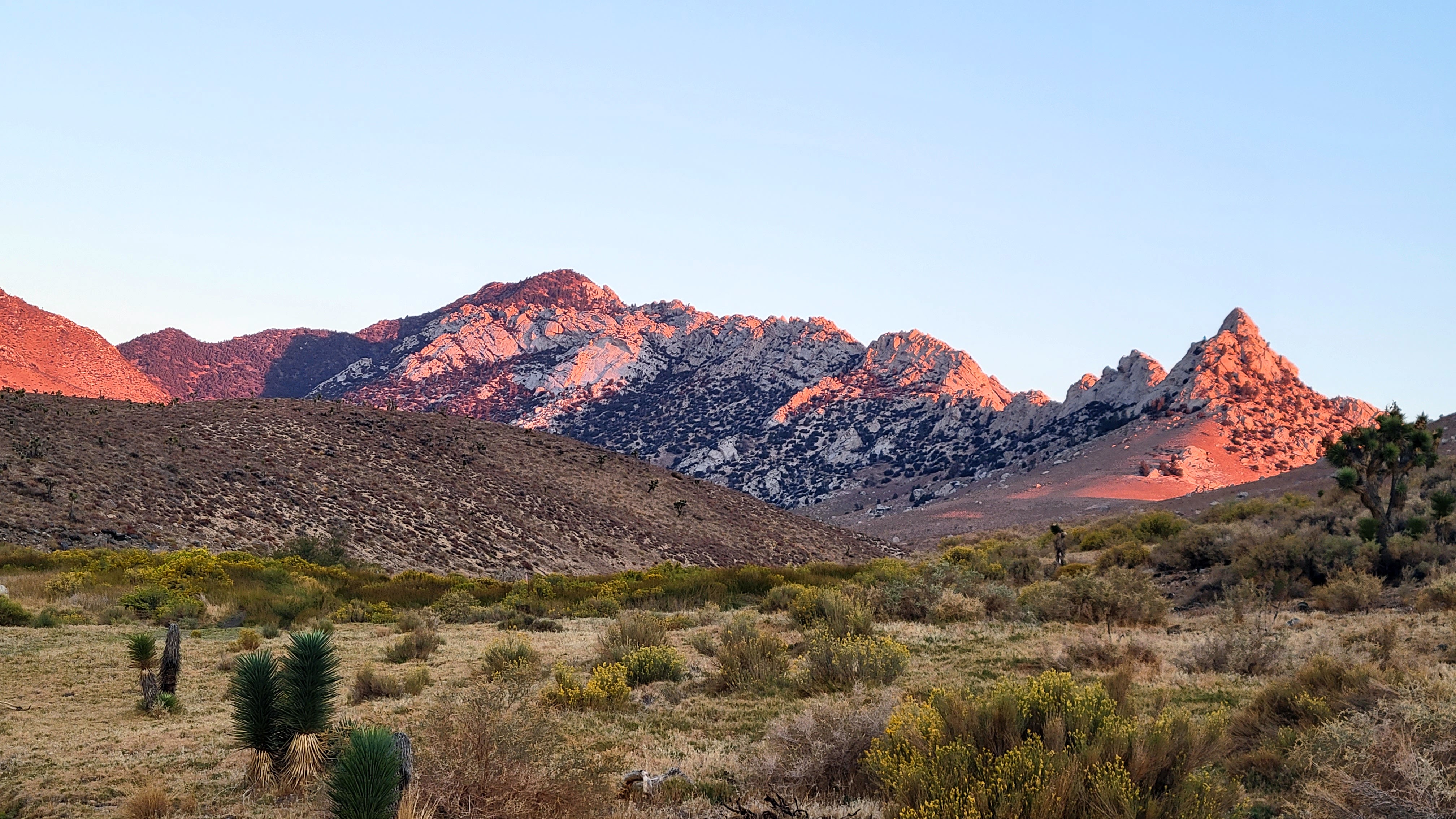
Owens on the drive in
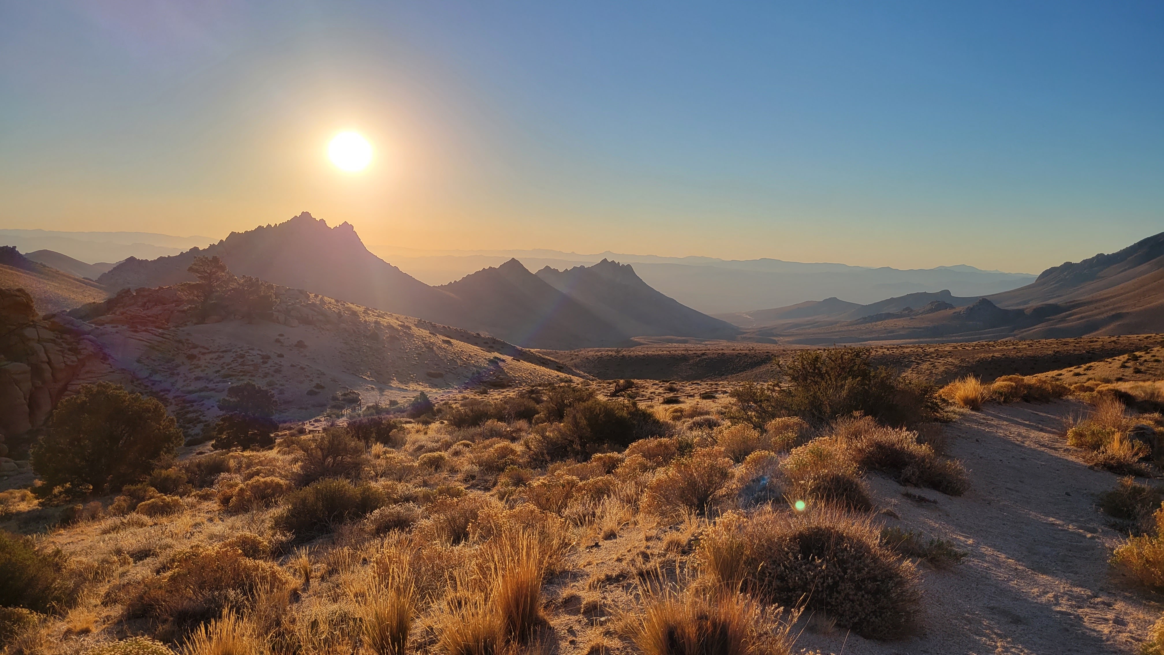
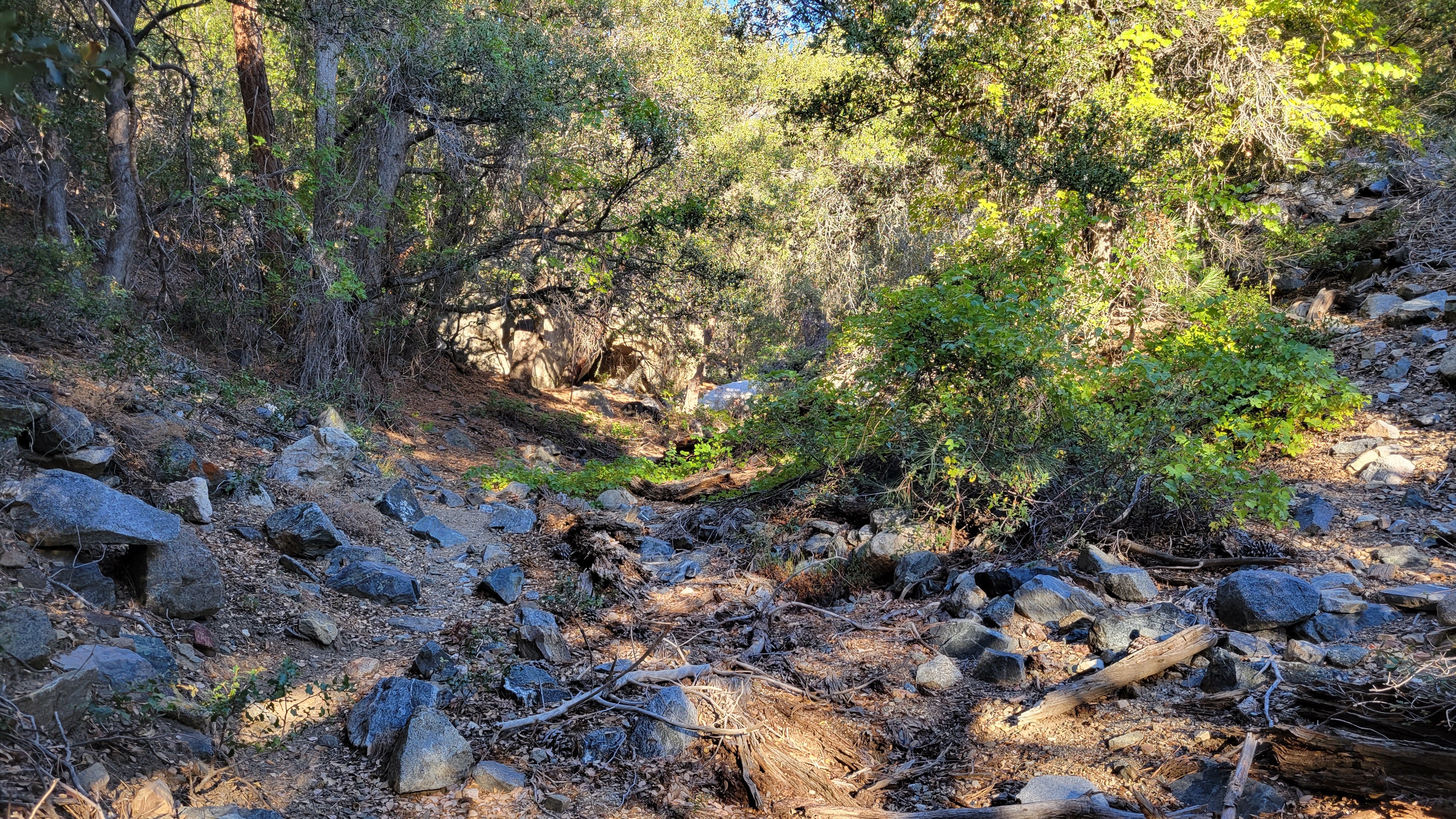
Following the dry spring
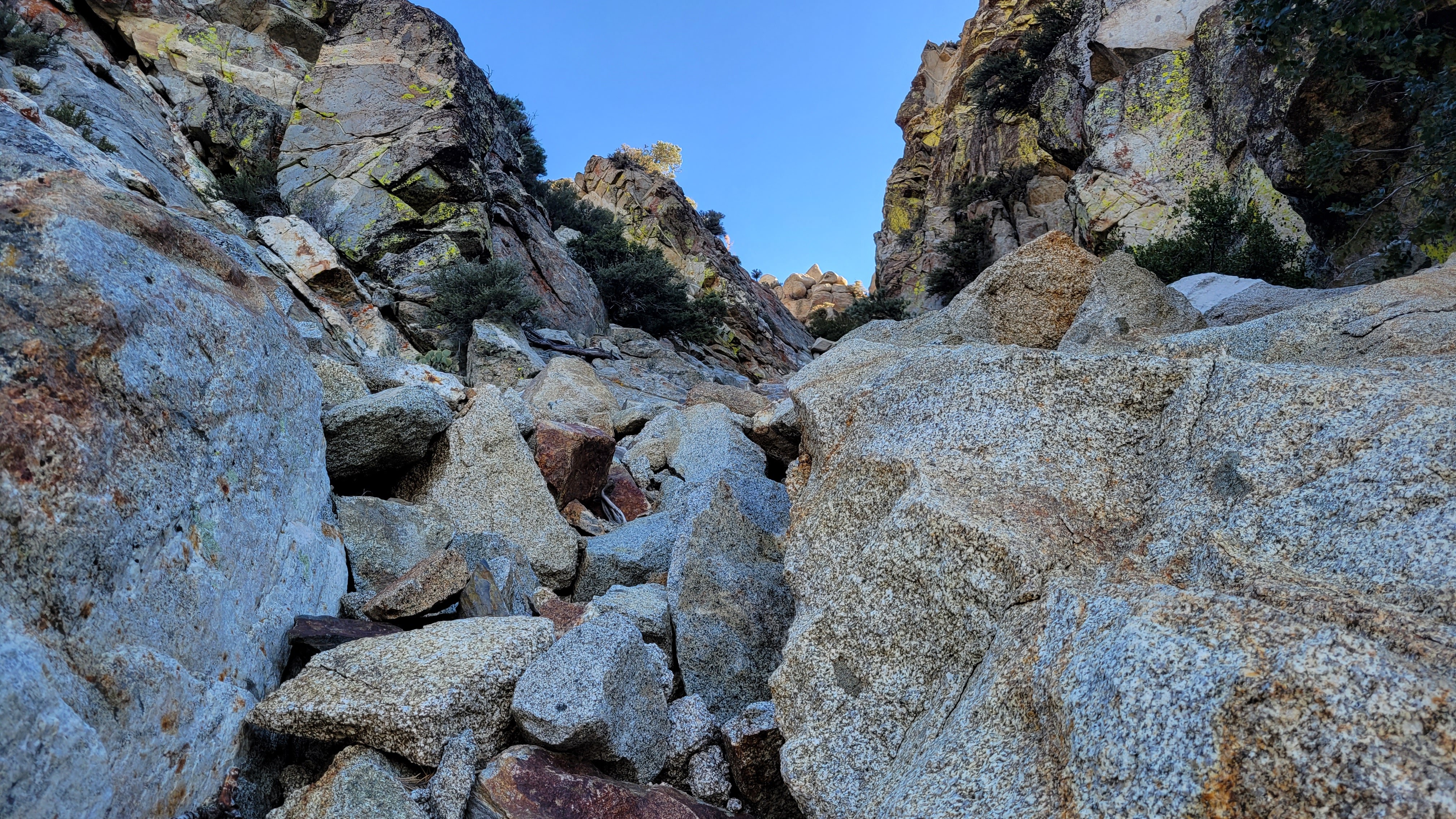
Off route, but finding a way
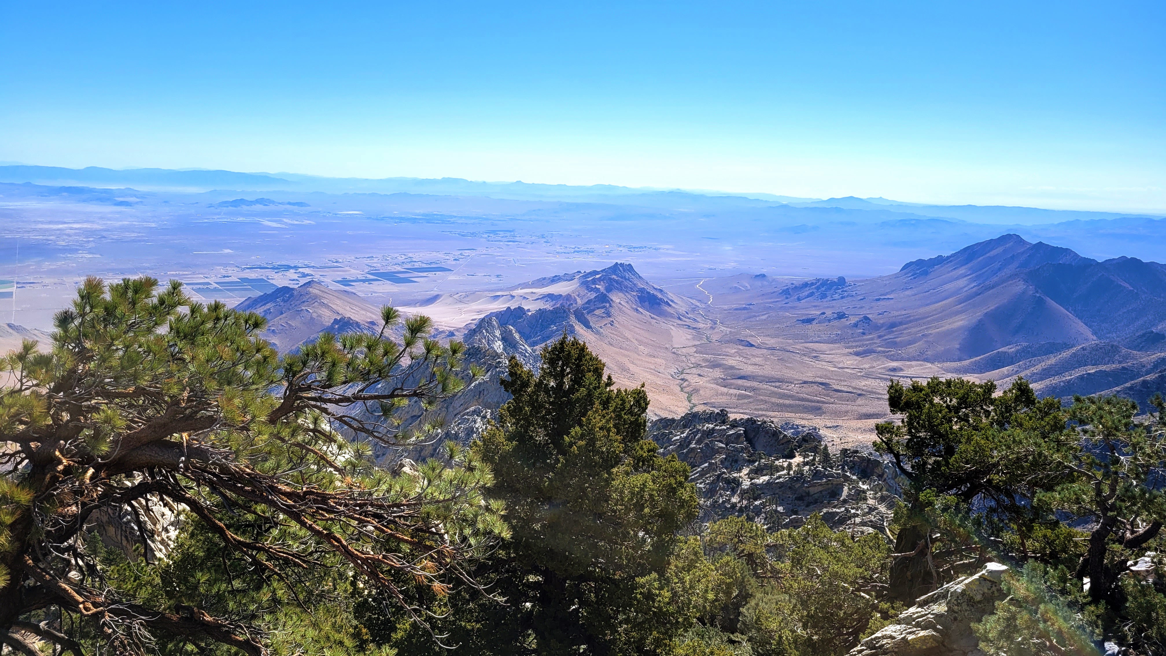
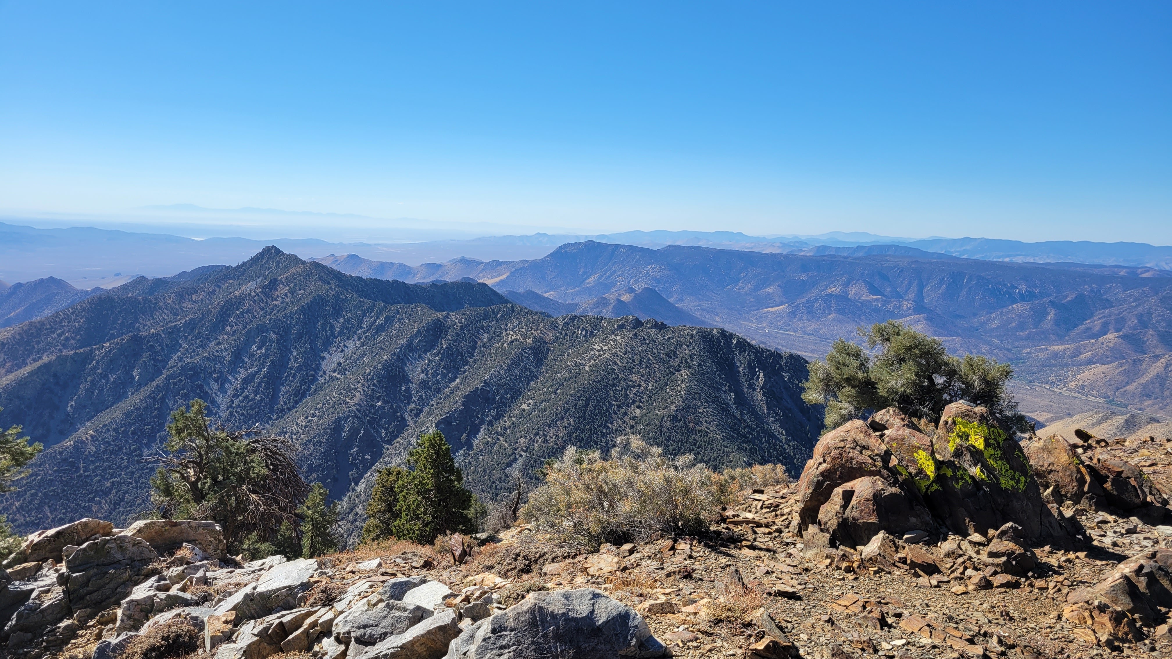
At the summit, I unpacked a drone, a DJI Mavic Mini 3 Pro. I am still learning how to fly it, but it has some pre-programmed flight sequences that are impressive. After taking the aerials, I hung around another 20 minutes, soaking in the wonderful sights in all directions. The longest ridge on Owens is a jagged granite spine that makes it look even more imposing. I could see Olancha further north and could barely make out Langley and Whitney through some haze. On the way down, I was able to stay on the trail and descended the dark boulders and class 2 slabs below that. I discovered where I lost the trail and built a cairn of my own to help future adventurers. Gnats became a problem below 6000' and I had to resort to my bug net until I got away from the spring. Owens was a big ball of granite fun and one I wouldn't mind climbing again some day.
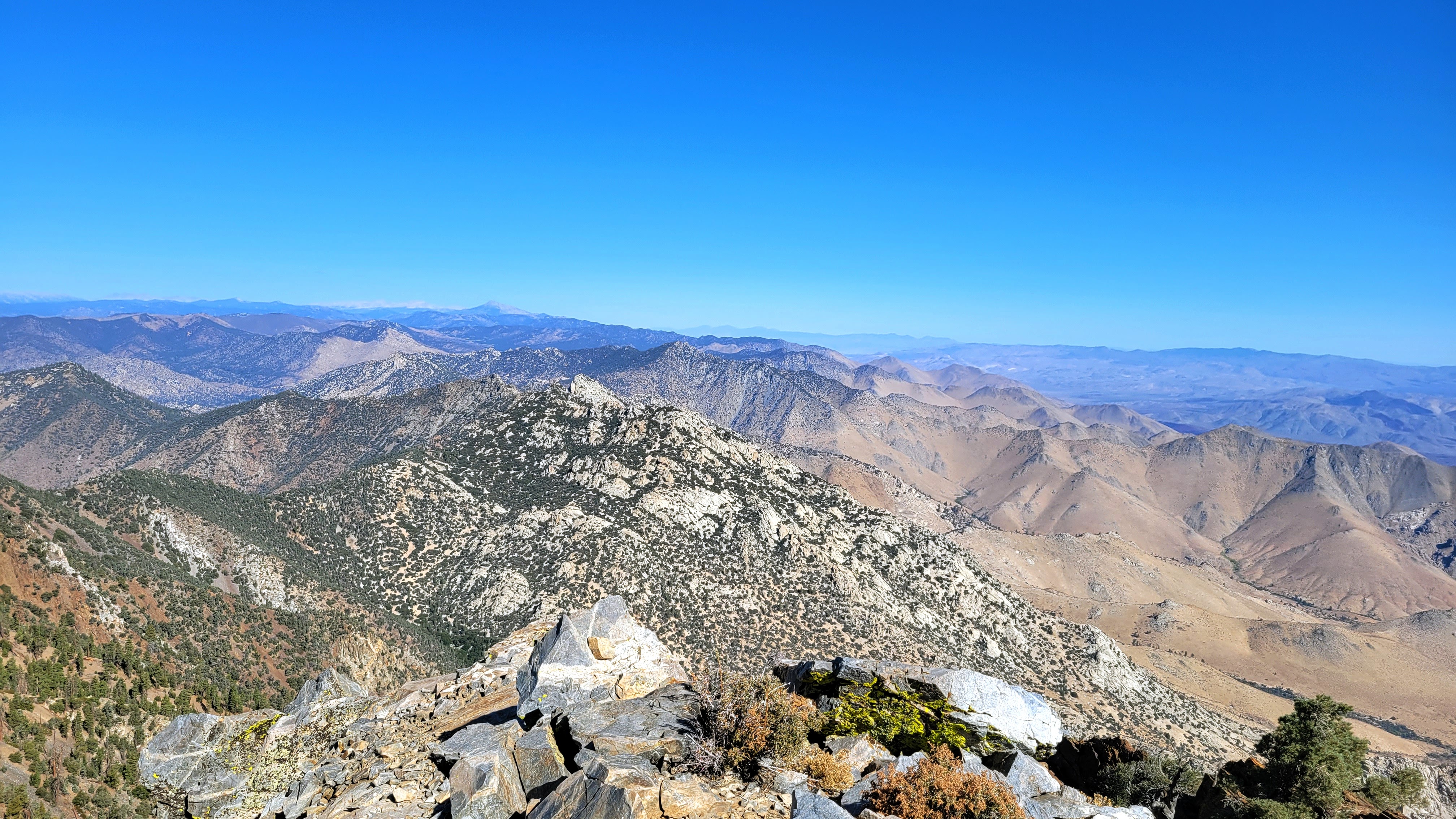
Looking north over Spanish Needle, Olancha in the distance
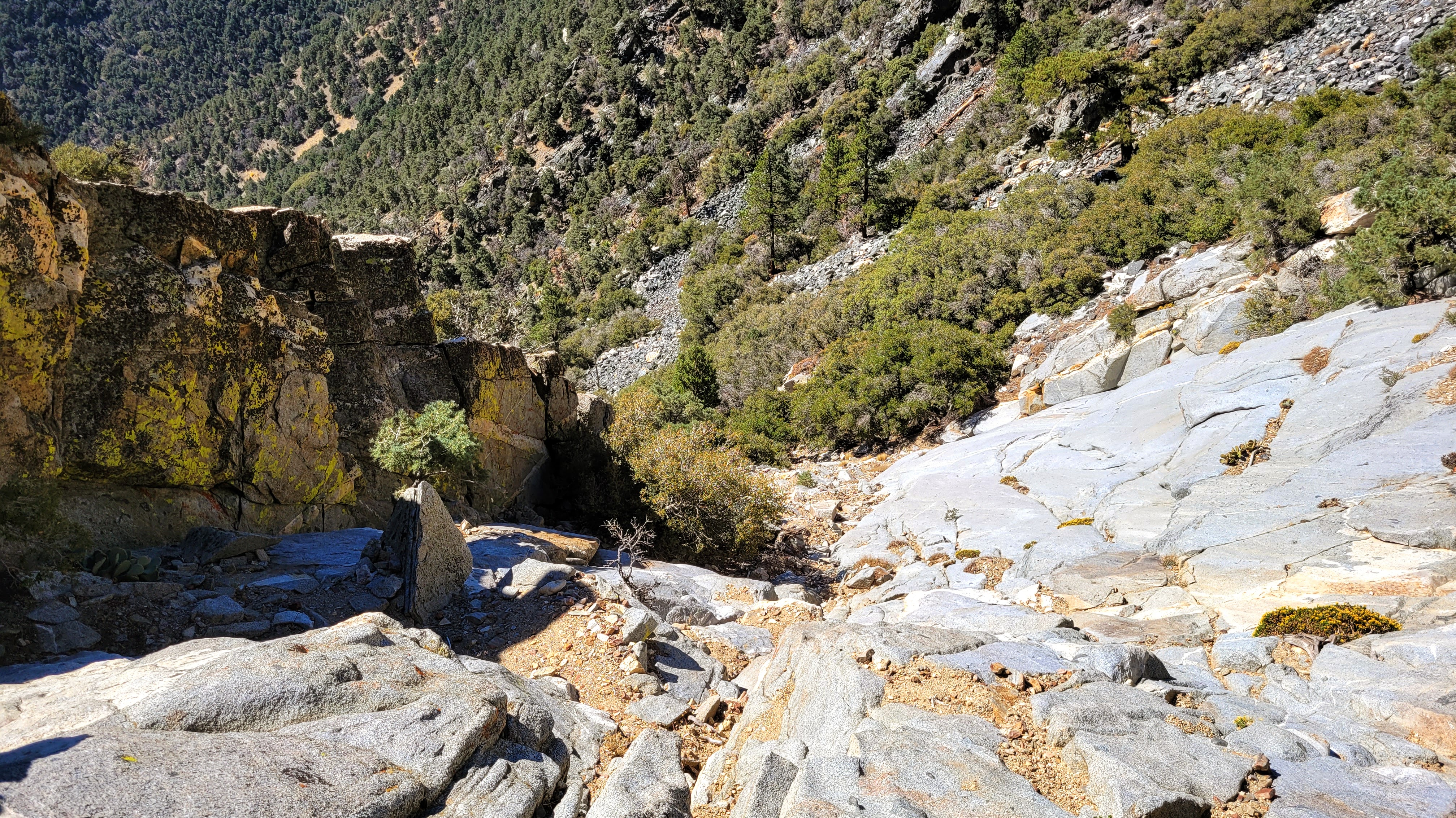
On route, descending slabs
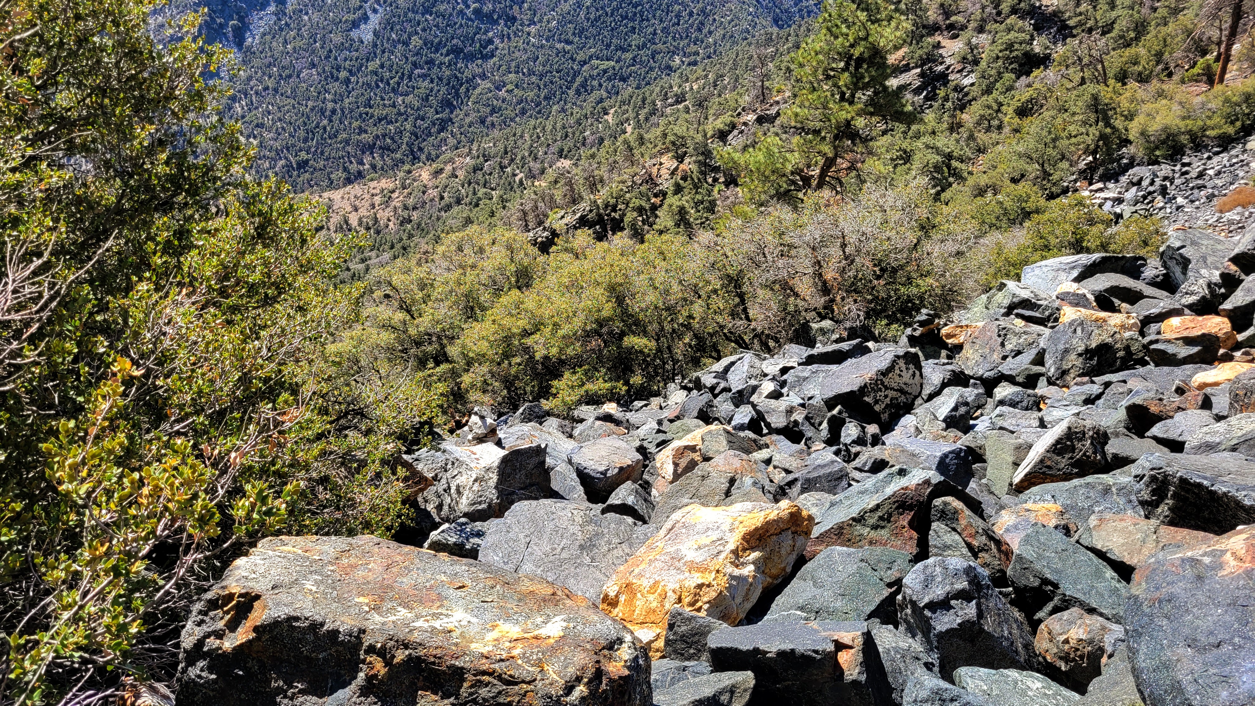
On route, descending black talus field
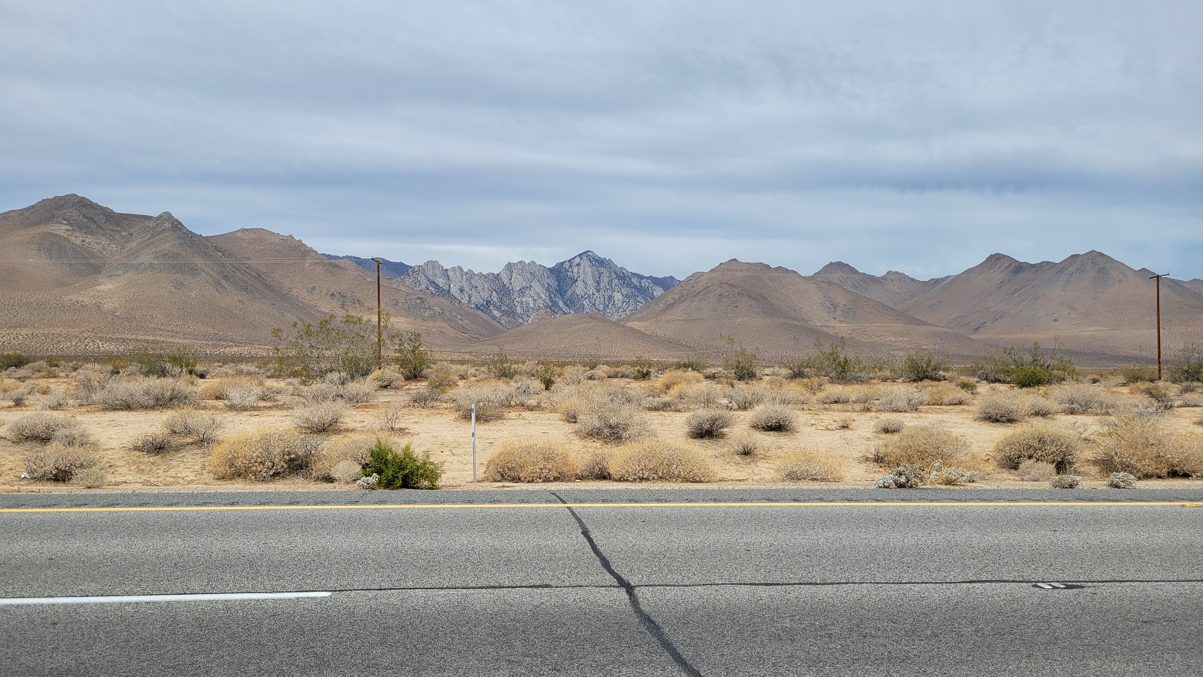
Owens from highway 395, taken in June 2022
Drone videos:
https://youtu.be/jmoJNrpbwik
https://youtu.be/Q39YXp6fMA4
