

We went up to just past the saddle, where Tim's boots were giving him crap. Gotta get some good trailrunners, Tim!
Link to the page for the MASSIVE MOUNTAIN that is Burrito Peak:
http://www.summitpost.org/mountain/rock ... -2510.html
Some pics...
Weather is NAICE!
Tim heading up in high-speed PT's
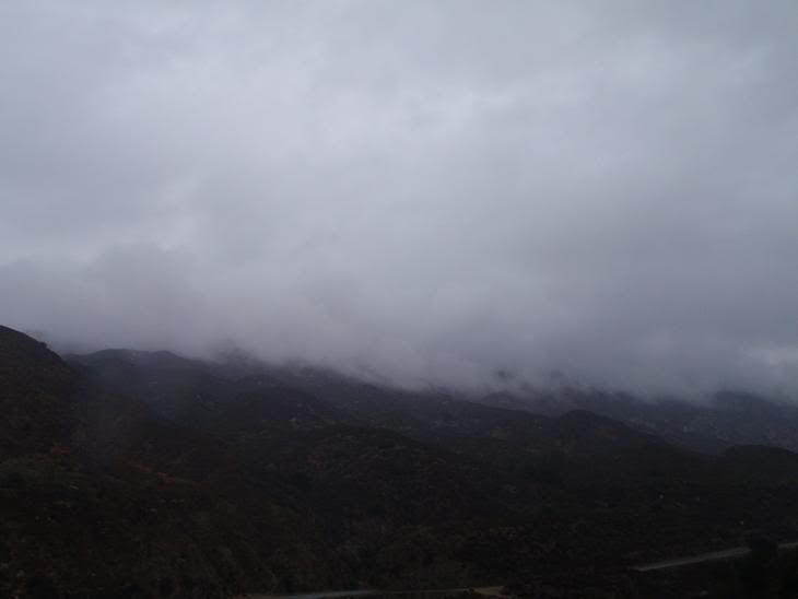
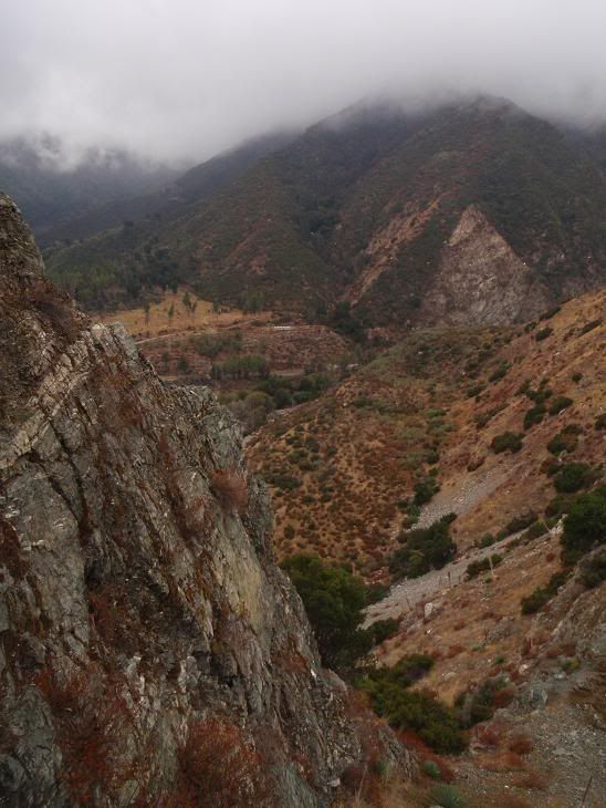
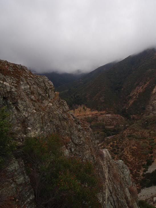
Another weather shot, looking towards Smith Mountain

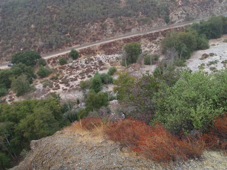
There's admin in them thar hills.
Saddle
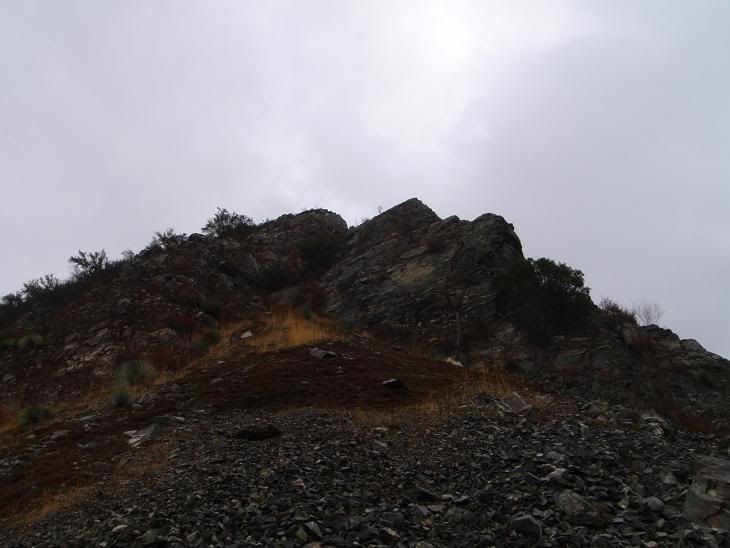
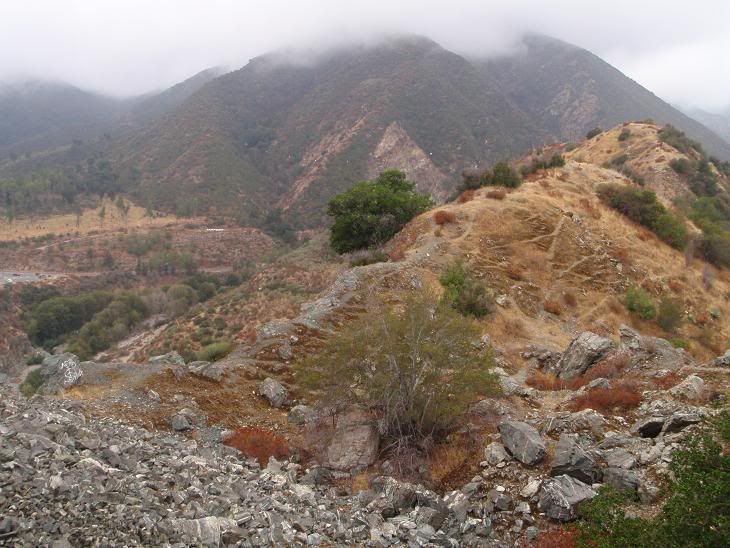
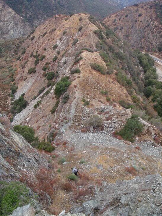
Lookin up the ridge
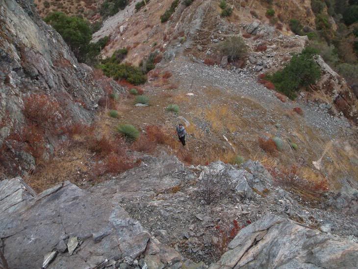
Tim
Looking down the first part of the ridge
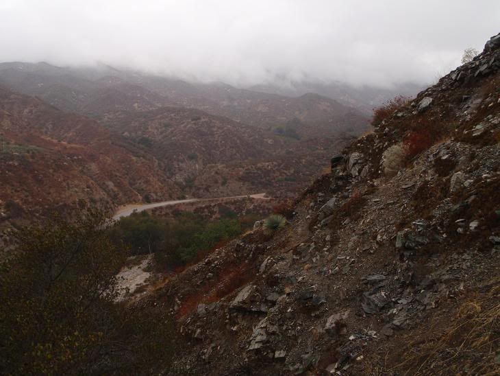
Colors came out really good in this one
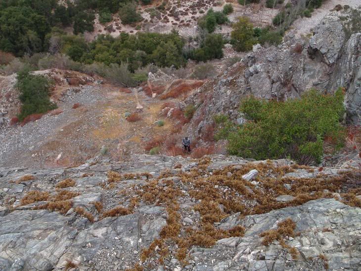
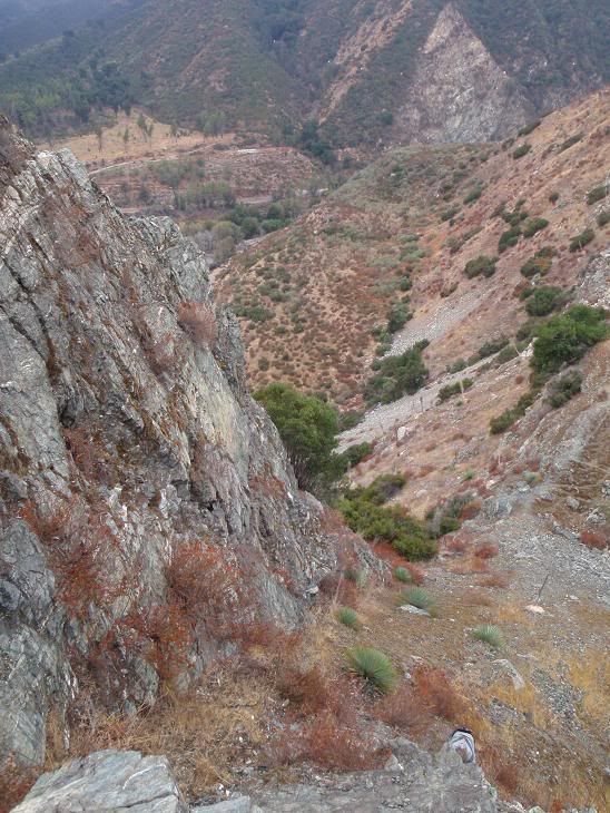
Tim, from atop that small 5th class wall.
Looking down again
Darker image
Burrito Peak is a fun scramble with a nice small wall on the right when you head up from the saddle. It's all pretty loose, huge surprise there, so be careful. The small wall on the way up is around 30ft or something, and easy fifth class in fun spots. It's loose, so ya gotta test your holds bigtime.
I can't wait until this weather sticks around!


