Day 1:
We left San Diego at 5am in two cars, and dropped one off at the hike's terminus on the Angeles Forest Highway near the Mill Creek Fire Station. Then we drove back to Highway 2 via Upper Big Tajunga Canyon Road. Along the way we stashed two gallons of water at the Three Points Trailhead, then continued onward and parked at the start of the hike.
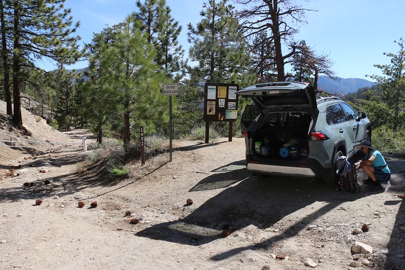
My car at the Cloudburst Summit trailhead parking lot. We started hiking from there.
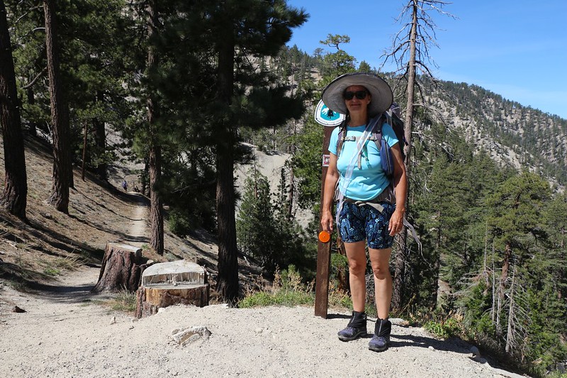
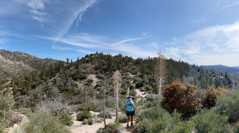
Vicki at the Pacific Crest Trail trailhead heading north
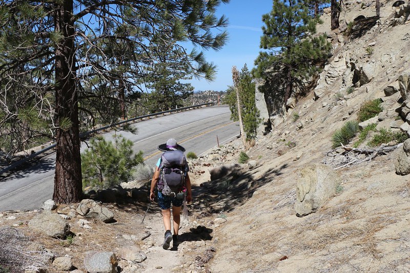
The PCT crosses the Angeles Crest Highway several times north of Cloudburst Summit
This piece of the PCT was originally a paved road - probably an earlier version of the Angeles Crest Highway
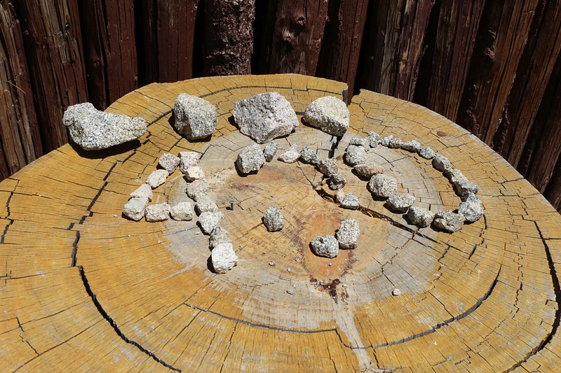
Pacific Crest Trail mile 400 marker made by hikers out of loose rocks at Camp Glenwood
We stopped for a break and some lunch at Camp Glenwood, which was closed. We met a couple of PCT Through-Hikers there and talked about the 2020 issues regarding the coronavirus, what with the PCTA recommending that all hikers abort their trips, yet being unable to force anyone to stop, as the permits had already been issued by the Forest Service. All in all, there were a lot fewer people on the trail, but plenty of hikers had worked and planned and made their lives revolve around this trek, and they had no intention of quitting now. If it was me, I would have done the exact same thing. The only real difficulty that I foresaw was hitching rides into town, which is standard operating procedure on the PCT. Maybe they'd have to hike into town, instead.
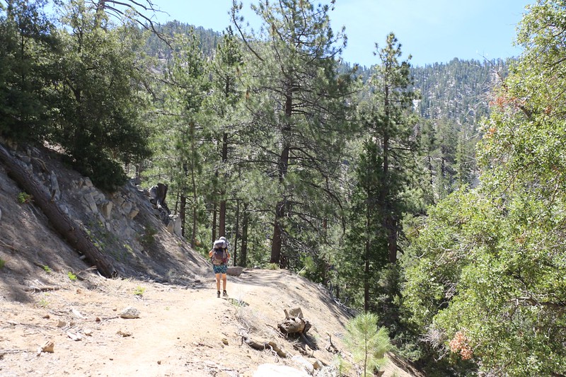
It was warm in the sun hiking uphill, as the trail paralled the Angeles Crest Highway
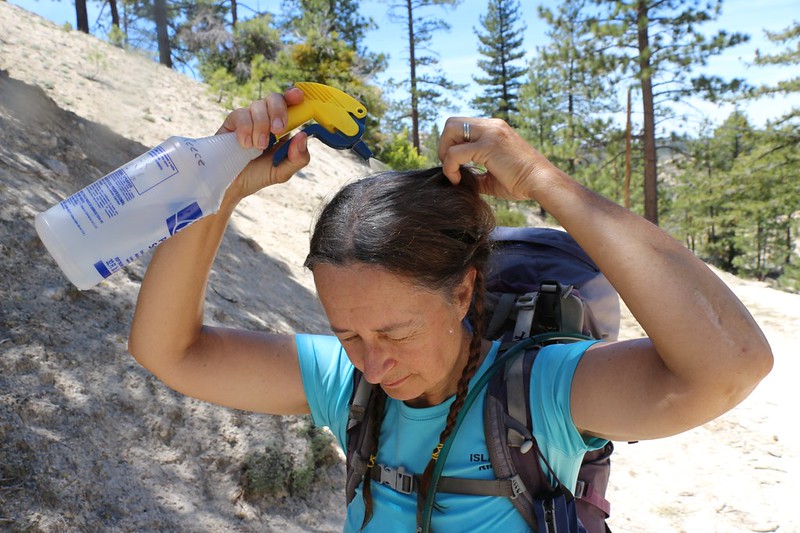
It was Hot so Vicki used our patented HikerSquirtz (TM) body cooling system to remain a Happy Hiker. It really works!
Maybe I should call it HikerSpritz (TM) instead?
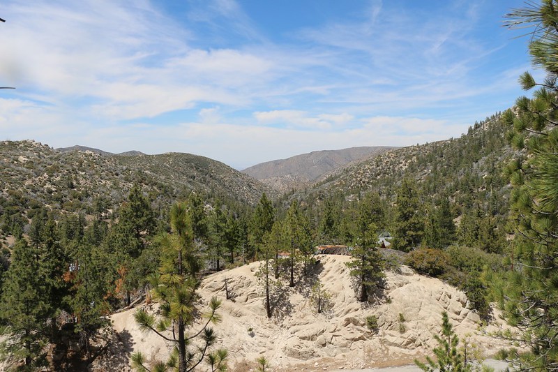
View north toward the Mojave with Camp Valcrest down below
We took a rest at the Three Points Trailhead and grabbed our water cache from its spot behind a tree stump
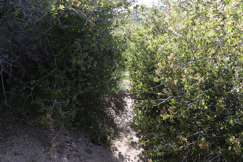
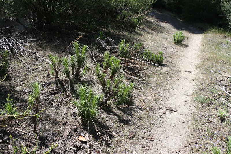
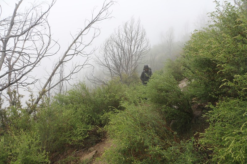
Hiking into the burned zone north of the Three Points Trailhead - the oaks are coming back now
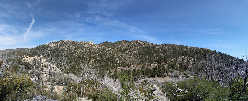
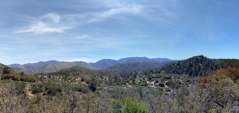
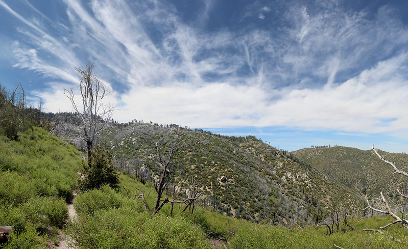
Panorama view southeast toward Waterman Mountain
I carried two gallons of water, one in each hand, for about a mile until we reached the known campsite at PCT Mile 404. It was a nice flat spot on a saddle. We had hiked about six miles that day, which wasn't a lot, but that's the way we like it. Some of the forum members like Elwood and Dima and Tekewin etc. (and Sean before his tendonitis) could have cranked out the entire 21 miles in one fast day, but Vicki and I like to take it easier. Everybody has their own style, and it's all good.
We took a hike up the ridge from our campsite just to see if there was a better spot up there - but no
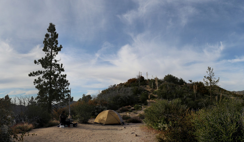
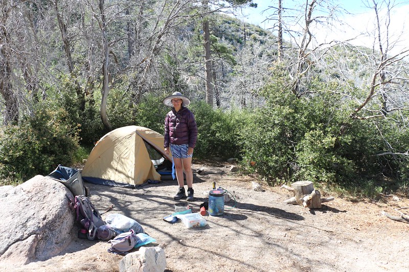
View of our tent at the CS0404 campsite. All these spots have a semi-official number/name.
We headed to bed early, as we had woken up early and put in about four hours of driving to get up here. But we both had to admit that this backpacking lifestyle sure beat the heck out of staying at home and "Sheltering In Place" like we had been doing for way too long. It was good to be out in the mountains again.
After Three Points, the trail no longer paralleled Highway 2, so the sound of race cars and motorcycles with modified exhaust systems was, thankfully, a mile away. We were able to get a good night's sleep!
Day 2:
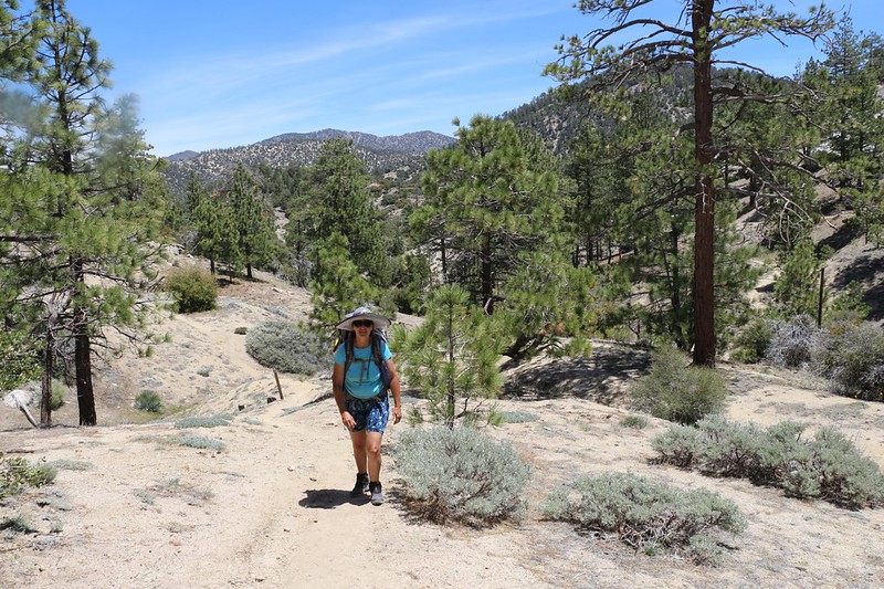
We woke up the next morning and had some coffee and breakfast. It was looking to be yet another great day, weather-wise, with temperatures in the low 70's. Our plan for the day was to hike downhill for three miles to the old Sulphur Springs Campground, then uphill for five miles, to camp on the north side of Pacifico Mountain. 700 feet down and 1600 feet up. Vicki didn't like the uphill part. That's life, I told her, and all the PCT ever does is go up and down. It's the "Crest" trail, after all. She reluctantly agreed.
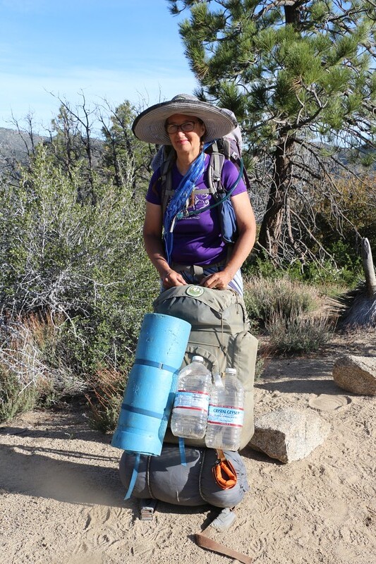
Vicki is holding my vintage Camp Trails backpack from 1972 - it used to be a deep navy blue. Don't ask how much it weighs!
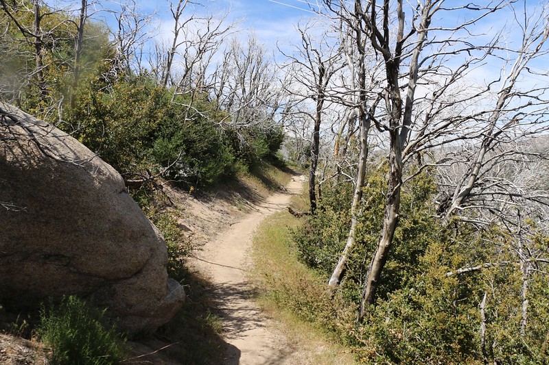
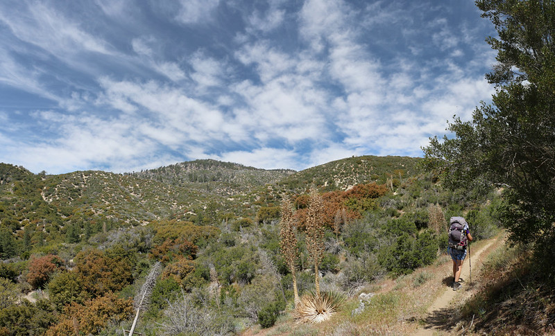
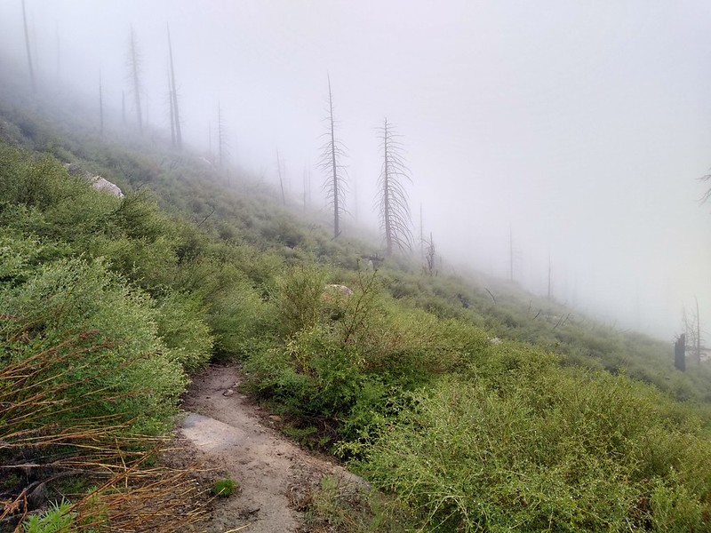
The trail was overgrown and in some serious need of trail maintenance along here
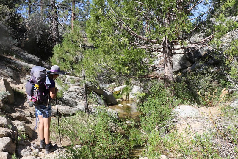
The creek just beyond mile 406 was flowing nicely, heading down toward the Sulphur Springs Campground
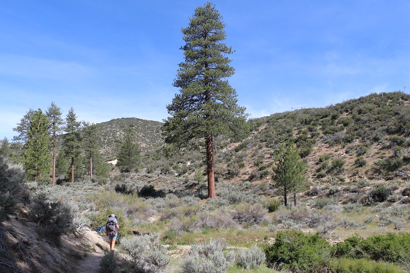
Tall pines in the valley
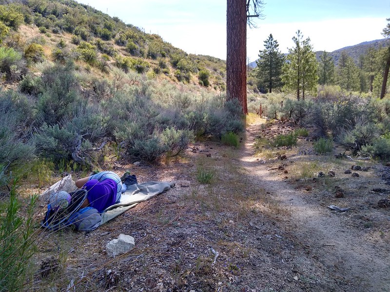
Vicki took a long nap beside the trail near PCT mile 407
We took a good long break and ate some snack down in the valley. After this, the trail would be uphill all the way. But it turned out to be a typical PCT experience in that it wasn't very steep at all. My theory is that the trail builders were being paid by the mile to make it. It meandered in and out of every side canyon along the way, when what you really wanted it to do was cut directly across to the other side, even if it meant going down and back up steeply.
Panorama view southeast, with Pleasant View Ridge, Winston Ridge, and Waterman Mountain
Pretty skies above us as we climbed the eastern slope of Pacifico Mountain
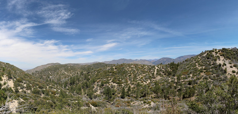
Panorama view north and east from the trail near mile 410
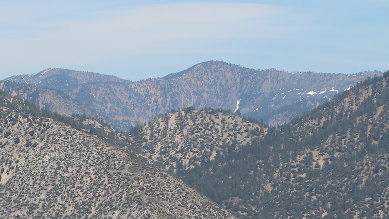
Zoomed-in view of Mount Baden-Powell, Throop Peak, and Mount Hawkins
We noticed that there were very few, if any, suitable spots to camp along this section of trail, thanks to the slope of the mountainside. In fact, the only usable spots were already listed on the GPS waypoints I'd downloaded to my phone. There were three that interested us. The spring we needed was at mile 411 and the two camping spots were at 410 and 412. The second spot was only two miles further but it was also 500 feet higher. Not surprisingly, by the time we reached the campsite at 410 Vicki was basically toast. Even another nap might not be enough to get her to hike an additional two miles (our original plan). But let's be honest: Hiking plans were made to be changed, to be flexible, to allow for contingencies like fatigue and exhaustion.
So we put down our packs at the first campsite and I told Vicki to take a break while I went to get the water. I emptied out my pack and blasted up the trail. I felt so light! It was excellent. I passed some Poodle Dog plants along the way, but they were avoidable, and soon enough I was ducking under the thick willows that surrounded the water source at Fountainhead Spring. I collected two gallons of clear water and headed back to camp.
Poodle Dog along the PCT near mile 411 - watch out!
Heading toward the spring
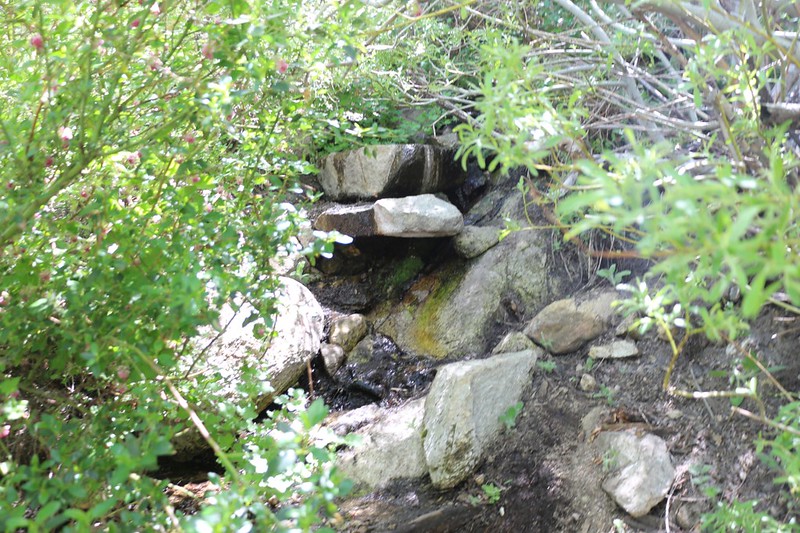
Fountainhead Spring was flowing nicely - I got two gallons here
Our campsite at 6400 feet elevation on the east side of Pacifico Mountain
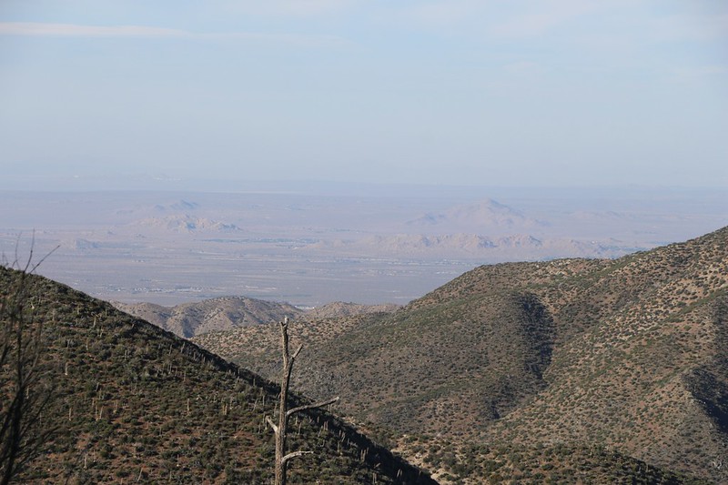
Zoomed-in view of the Mojave Desert and Palmdale from our campsite
We had cell phone signal up there, so I texted a few pics to the family, to make them jealous. I also checked the weather report. It said that there was a 10% chance of rain the next day, peaking about noon. We didn't really want to get wet, but at least we would be heading for our car, so we'd be OK regardless. We decided to get up early the next morning so that we could pack everything while the tent was still dry.
Day 3:
It was still dark when I heard the sound of light rain spattering the tent. The moaning of wind was heard up above in the trees, but the tent didn't shake very much. At that point I realized that I would be carrying a soaking wet tent that day, but since I was dry and warm at the moment, I burrowed down into the sleeping bag and went back to sleep. There was no longer any point in getting up early.
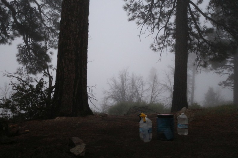
Eventually, of course, we had to wake up. I opened the door of the tent and discovered that we were camped inside of a cloud. A very cold, damp, and breezy cloud. Yuck. It wasn 't raining much at all, but the mist was pervasive, and we knew we'd be wet if we stayed out there for long. So we did everything we could to get packed and ready from inside the tent, where it was nice and dry.
The view from our tent at dawn
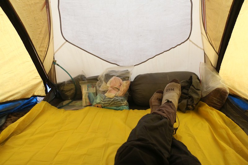
We were mostly packed up but we put down a plastic sheet in the tent to eat breakfast in a dry environment.
We never eat in the tent if we can help it, in case we spill some critter-attractant on the nylon, but today was an exception.
While we sat there, I got out the map and we looked at what was in store for us. We had about nine miles to hike, with 500 feet of uphill and 1800 feet down to the car. This was a long day even without the rain. I noticed that Pacifico Mountain Road intersected the trail not far from the summit. The road looked a bit shorter on the map. Maybe we could take the road if need be. That was Plan B.
We packed up everything we could while inside, then jumped out and rolled up the soggy tent. It was time to hike!
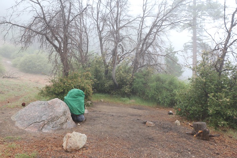
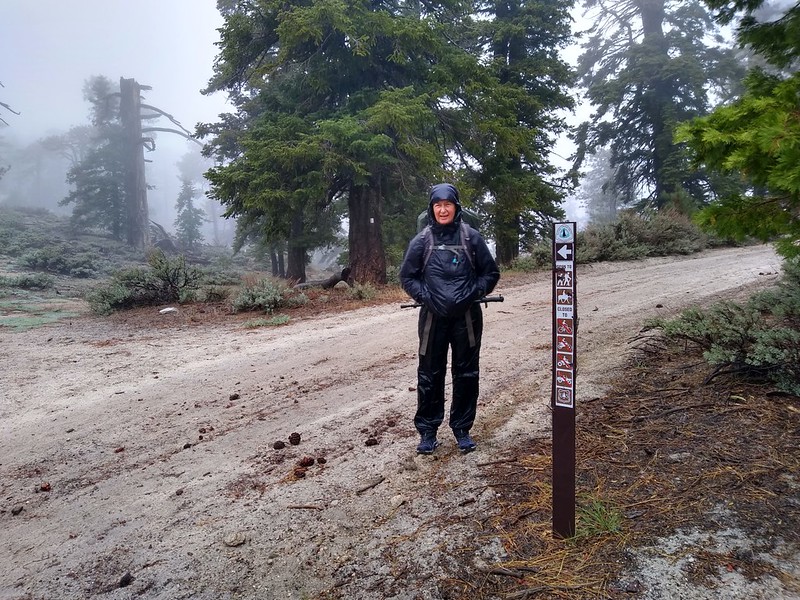
My backpack with its rain cover as I got ready to start hiking in the rain
The bushes along the PCT were overgrown and soaking wet so we also got drenched as we brushed past them
After taking turns getting doused by the bushes, a group of nine PCT Through-Hikers began to pass us by, in sets of one or two or three. They took the lead, so to speak, and served to dislodge the worst of the droplets, but it was already too late for us. And those crazy PCT hikers were mostly wearing shorts! Their legs were bright red from the cold, and they knew that they absolutely couldn't stop hiking, no matter what, as they would become hypothermic almost instantly. So they blasted onward, hoping to reach the dry restroom down by the Mill Creek Fire Station. Then they would be able to stop and put on warm clothing. One of them said to us as he passed by: "Ten percent chance of rain, my butt!" He was not amused.
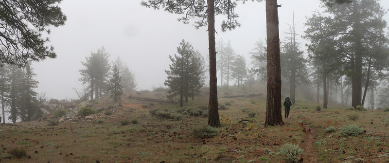
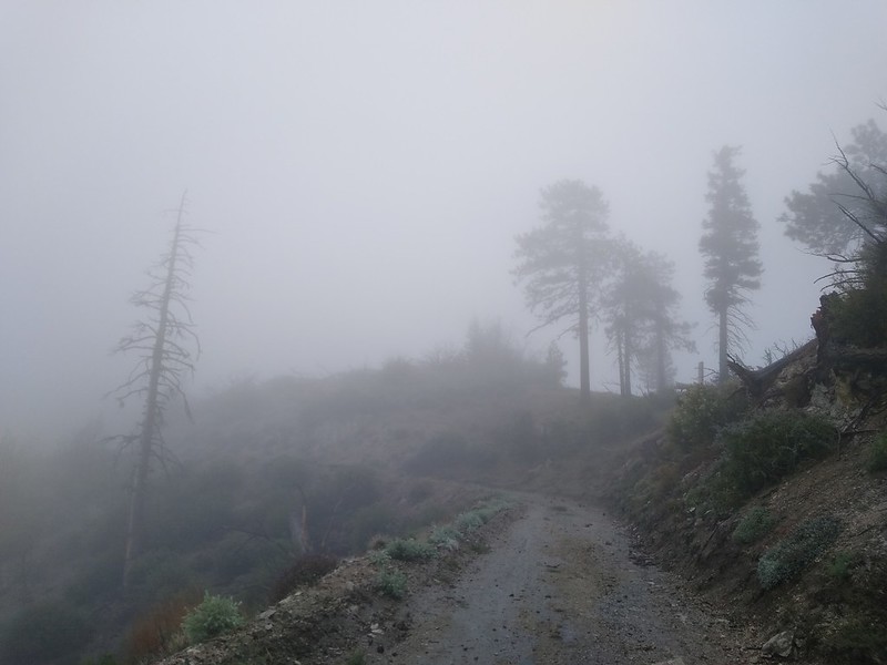
The upper section of the mountain was actually quite lovely, even in the rain. There were plenty of tall pines, and only minimal undergrowth. We wished that we were getting the great views that we'd worked so hard for, but all we saw was clouds and mist. Our only hope for getting out of this cloud was to either wait for it to blow away, or descend beneath it. And we weren't going to wait.
The rain came and went but the misty clouds kept us wet and cold
The north side of Pacifico Mountain burned years ago
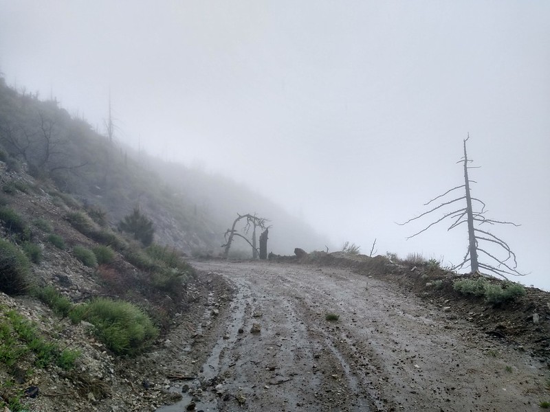
We were heartily sick of pushing through wet bushes by the time we reached the dirt road, and both of us decided that it had to be better than the trail. We weren't frozen yet, just a bit chilled, so we hiked onward as fast as we could to generate some more heat. The road wasn't steep at all, and it turned out to be much better than the trail. Shorter, too. The only downside was that the road initially stayed on the west side of the mountain. The wind was much stronger over there, and we were continually being pelted by driving rain and mist. We were relieved when the road crossed over the ridge to the lee side, and then all we had to deal with was the rain.
We left the PCT and hiked down Pacifico Mountain Road
It rained quite hard at times, and the view wasn't much to write home about
Clouds and mist were blowing furiously past us as we hiked
As we got lower (or the storm had begun weakening) there were occasional clear intervals when we were between and/or underneath the clouds. We even got a few views down to the Fire Station, and we were able to see our lonely car in the lot beside the road. And then the mist and wind and rain would return, just to let us know who was boss.
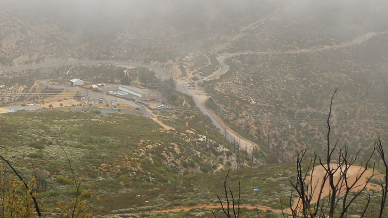
Zoomed-in view of the Mill Creek Fire Station and our car from high above
Patches of sun across the way but none for us!
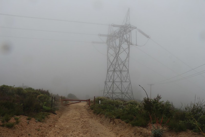
Power tower in the misty cloud as we neared the base of the mountain
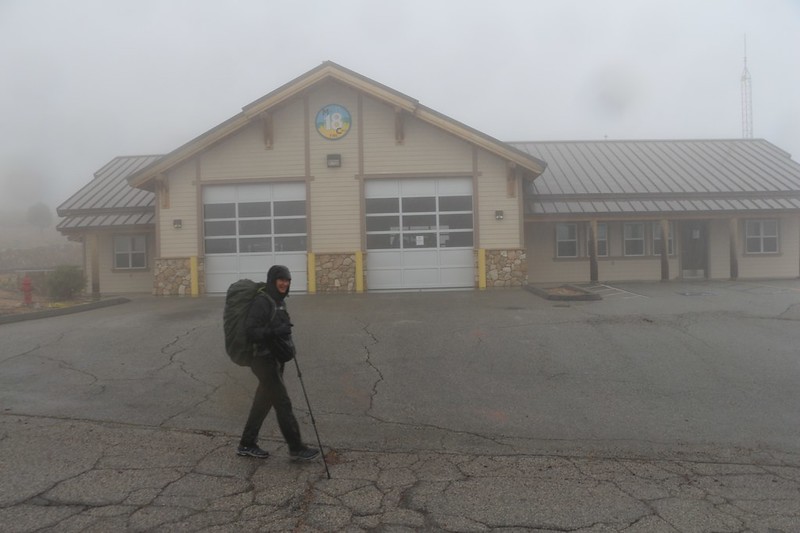
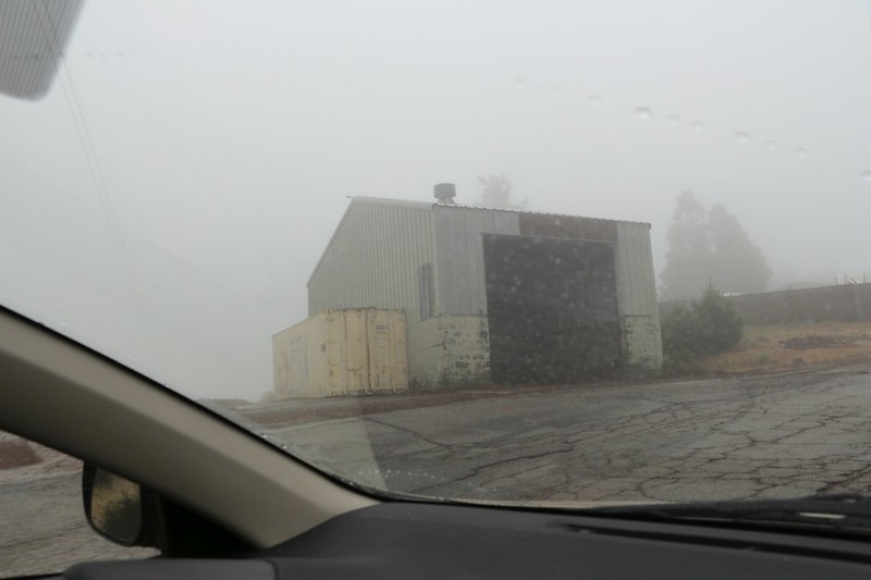
The Mill Creek Fire Station in the misty rain
It was only noon when we arrived, but it sure felt as if we'd been hiking forever. Naturally, the rain really began to pour, right when we could have used some dry weather to get out of our wet clothing before getting into the nice dry car. It was that kind of day, I'm afraid. So we sat in the car in our damp clothing and shut the doors. We started the engine and waited for the heat to get going.
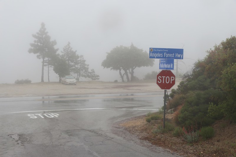
We finally made it to the car at the Angeles Forest Highway. Hooray!
Now, just before we made it to the car, we met up yet again with the nine PCT Through-hikers. They were all hunkering down in a big metal CalTrans gravel shed not far from the fire station. (You can see the large shed on the left side of the photo, above, in which we viewed our car parked far below.) It turned out that the bathrooms at the trailhead were all locked due to the virus-closures, so the hikers were quite desperate to get warm. They knocked on the firehouse door and asked the firemen what they could do. Firemen are always helpful, and they directed them to the gravel shed. It had a wide open doorway and a huge pile of gravel inside, but it was dry in there, and that was all that really mattered. By the time we arrived (to resounding applause at having survived the elements) they were all dressed in their warmest clothing. Two of the guys were up on top of the gravel pile, shoveling a flat area large enough for nine people to lie down in their sleeping bags. They asked us if that was our car down there (which it was) and also asked how far it was to a town. They also mentioned pizza. But I could tell that Vicki wasn't comfortable with letting anyone into our car (thanks to the stupid virus) so we said goodbye and wished them luck.
As we prepared to drive away, Vicki asked me how far away some pizza might be. I got out the map, and Palmdale wasn't that far, maybe 15-20 miles. "Let's do it!" I said with a big smile. Vicki's ideas are almost always good ones, I've learned. So we headed down to Palmdale and ordered several pizzas. It was sunny and breezy down there, and I dried out while waiting for them to bake. Then we put the boxes in the trunk under a blanket and headed back up into the rain and clouds.
We backed the car right into the gravel shed, and Vicki popped the trunk. At first, they weren't sure what the heck was going on. A car? Here? But then I got out and shouted "Pizza Delivery!" and immediately received a huge cheer from the always-hungry PCT Hikers. We just made their entire day! And that's what being a PCT Trail Angel is all about.
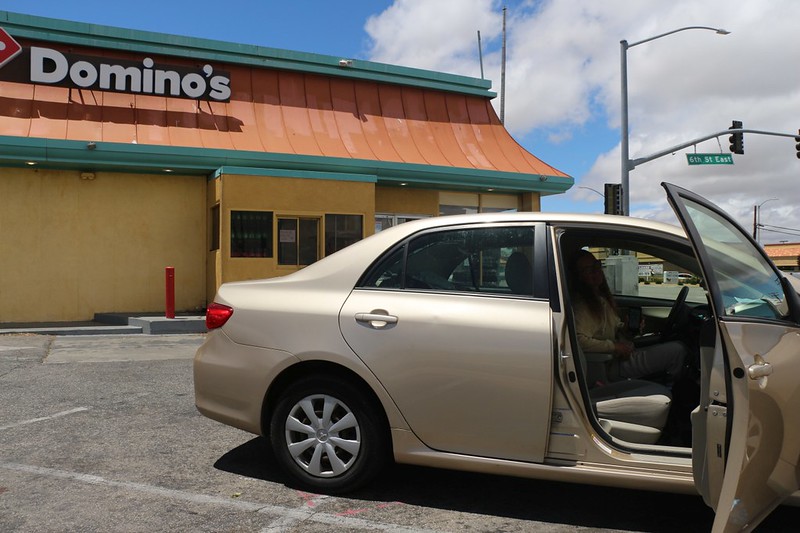
We drove down to Palmdale and bought pizza at Domino's to bring back to the PCT Thru-Hikers
We arrived back at the CalTrans gravel shed with the hot pizzas - we are officially Trail Angels!
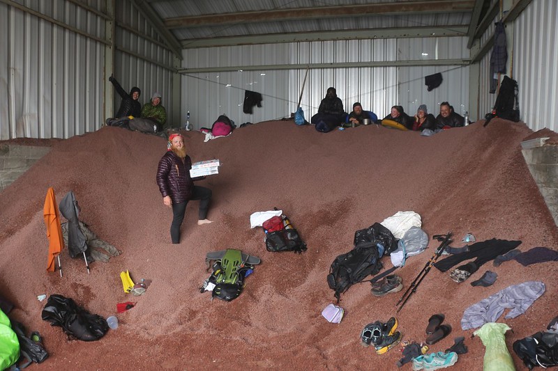
The dry Through-Hikers with boxes of yummy pizza in the Caltrans gravel shed - look how happy they are!
After that, we ate our own slices of pizza as we headed back to the other car at Cloudburst Summit. We had been thinking about staying in the Rav4 overnight in the parking area and going on a day-hike tomorrow, but our gear was still soaked and the clouds were thick at the summit, so we decided to drive back home after all. We'd have to come back here another time to finish this tiny section of the PCT that we'd skipped, and maybe do another multi-day hike to the north of Mill Creek. We knew that it would still be there waiting for us.
The rest of the trip 's photos and videos can be found on my Flickr Page.
For an interactive topographic map of our hike, including GPS Tracks, please see my CalTopo Page.
.