Alto Diablo, Shields, Anderson via Forsee Creek
Posted: Sun Sep 15, 2019 10:09 am
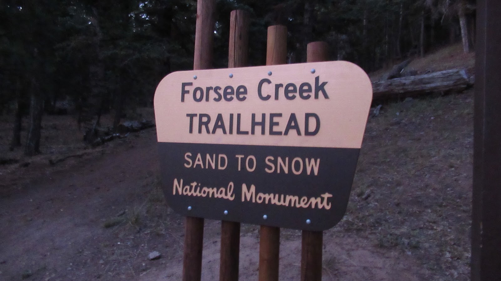
September is my favorite month to visit the high peaks in the San Bernardino Mountains, avoiding the final heat waves of summer. I parked at the Forsee Creek Trailhead a few minutes before sunrise, one of four cars in the dirt lot. The road to the Forsee Trailhead is rutted, but sedans can make it driving carefully. Forsee was a new trail for me.
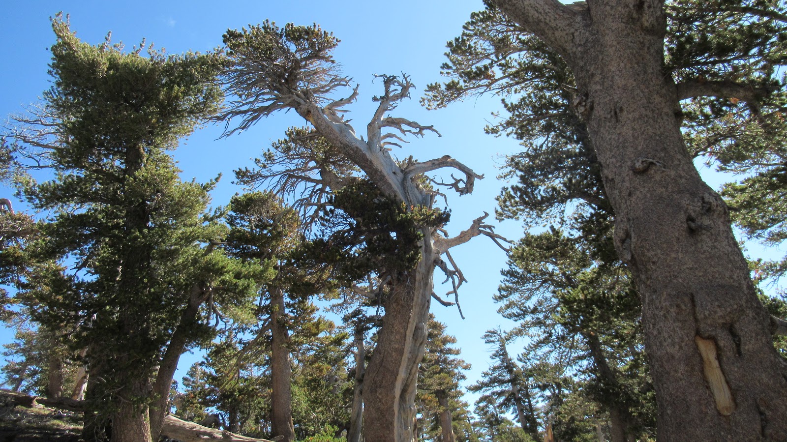
Tall cedars and pines kept the trail cool and the light dim. Although it rose steadily, Forsee wasn't too steep. Still, the gain piled up. Like most trails in SBs, it consists of long sweeping switchbacks. I reached the junction below Anderson Flat and went left in the direction of Dollar Lake Saddle. So far, I had only stopped for 2 minutes to eat a GU gel. I was feeling some mild AMS effects, a little space cadet glow. I stopped at the San Bernardino Divide trail to rest with 90% of the hard work done. After some food, the AMS went away. I headed east toward Alto Diablo, taking the trail skirting the north side of Shields Peak. The trail lost a little elevation before climbing up 20' below the minor bump of Alto Diablo. On the summit, I found an ammo box with a new register. There were no benchmarks on any of the peaks. Alto Diablo had very nice views.
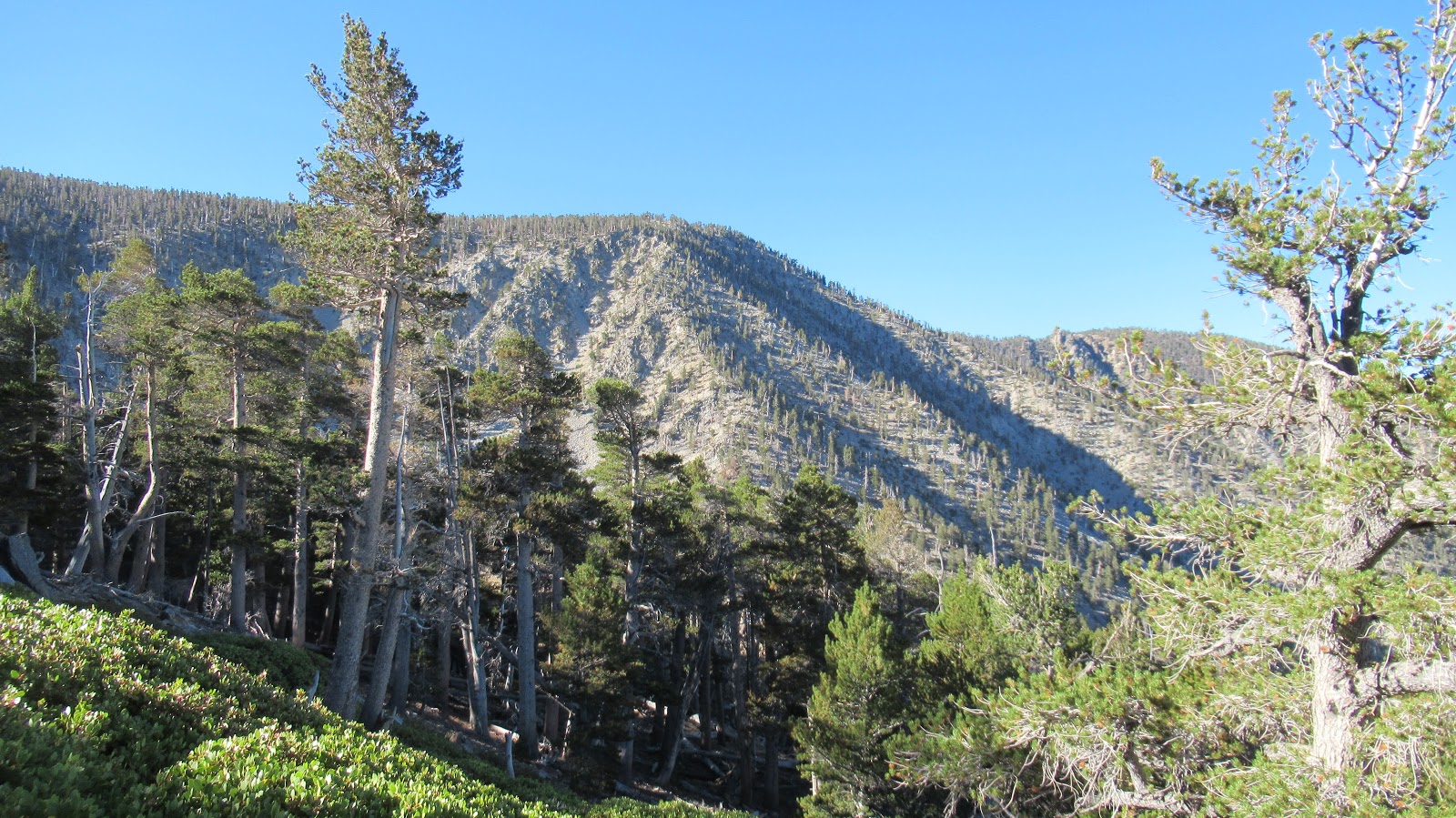
I think this is San Bernardino Peak
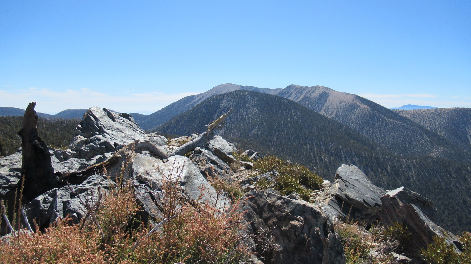
View from Alto Diablo
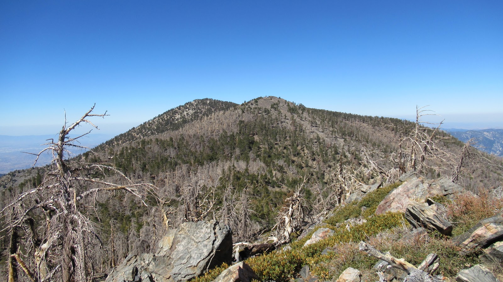
Looking back at Shields and Anderson
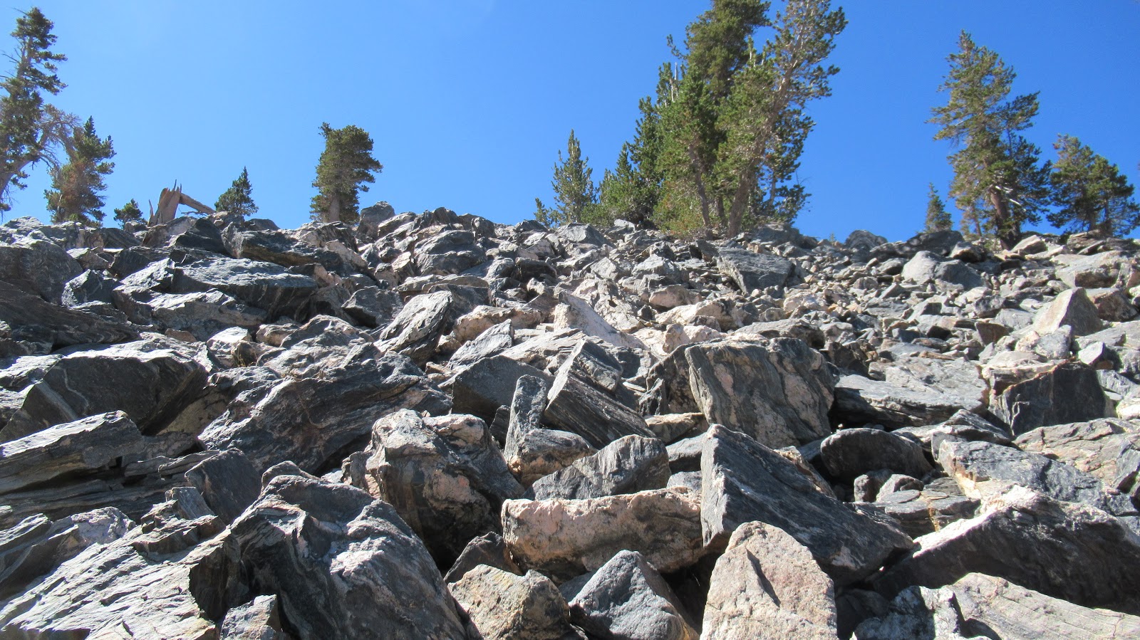
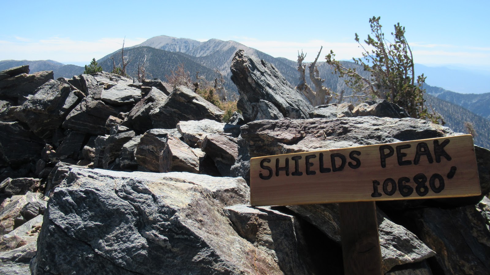
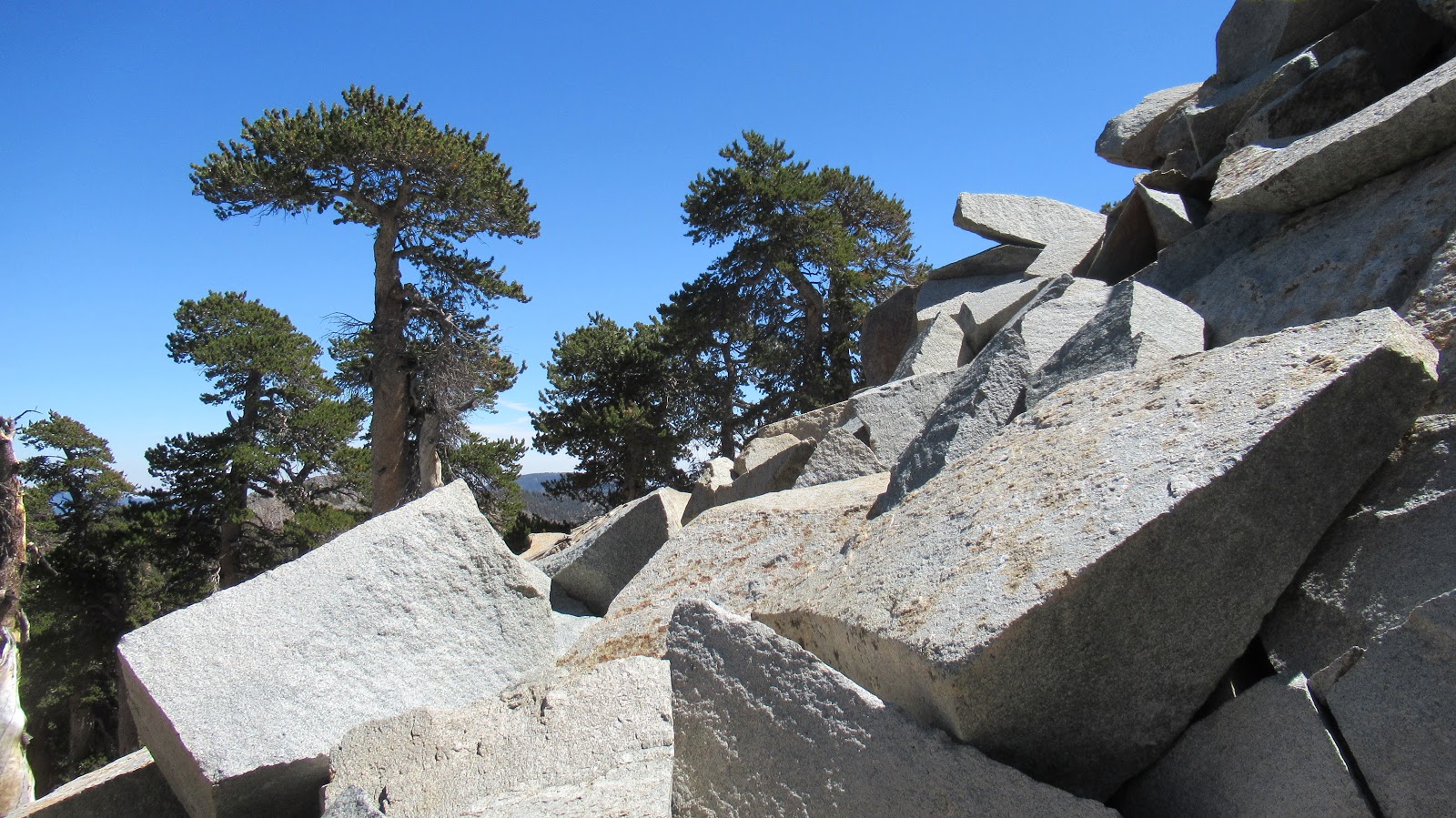
From Alto Diablo, it was only a half mile back to Shields. I had seen multiple cairns set up below it on the trail and I headed for the first one I found on the way back. Shields is a large pile of boulders and scree. It can be climbed from any direction. I went straight up from the trail on the north. The large rocks were mostly stable and small rocks were mostly not. I stuck with the large rocks, all easy class 2. The rock scramble made Shields the most fun, and the 360 views gave it the best payoff. It was definitely my favorite of the day. The summit had a fresh wooden sign and ammo box but no register.
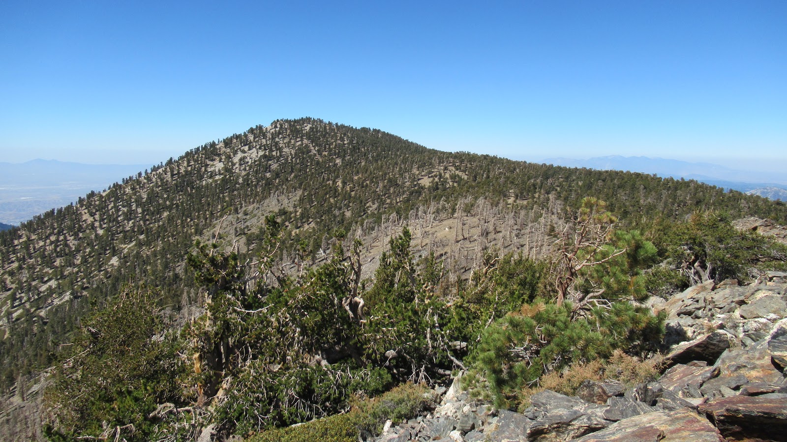
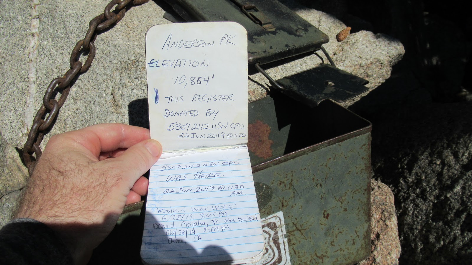
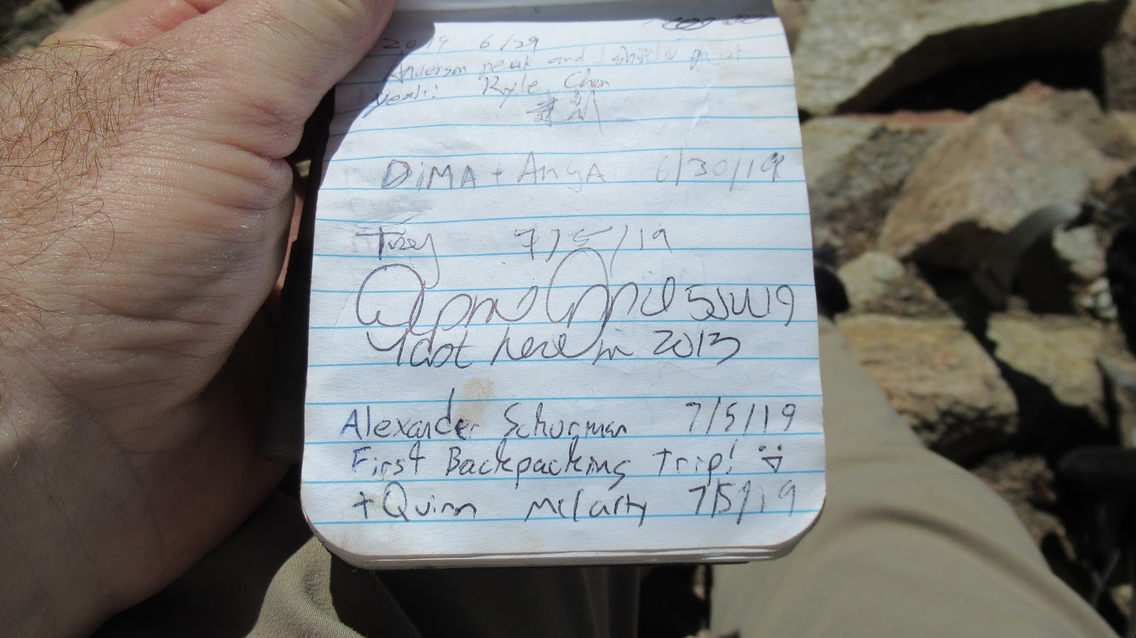
I looked for a clear use trail split from the trail below Anderson, but didn't find one. I headed up through open country finding a good use trail about half way. I followed it to a small pile of boulders that formed the summit. The immediate area was surrounded by trees and had limited views. Another ammo box held a naked register. I signed it, then wrapped it in plastic baggie. At 10840', Anderson is officially 1' higher than San Jacinto, but is only the 5th highest in the San Bernardino Mountains. From Anderson, San Bernardino Peak and SB East didn't look too far, but I guessed a round trip would add about 3 more hours and tip my pleasant day hike into a grind. I packed up and started down. The Forsee trail is probably the nicest I've been on in the SB range. It's smooth as silk with few obstacles. As a science project, I decided to fill a Dasani water bottle with thin Anderson air and see what air pressure did to it down below. I took the first photo below the summit at around 10700', then another when I got home at 450' above sea level. It was crushed nicely from the sides.
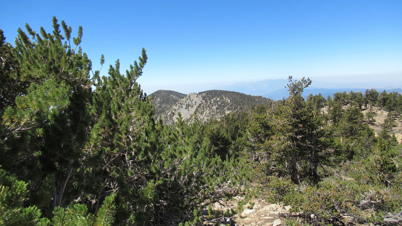
SB East and SB from Anderson
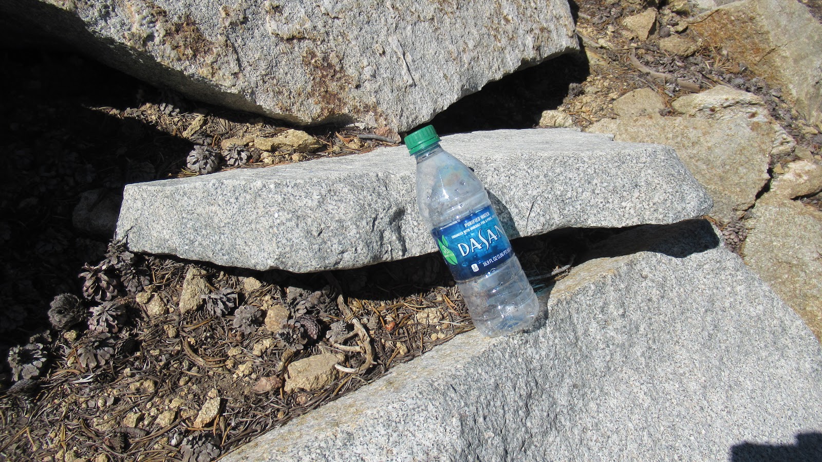
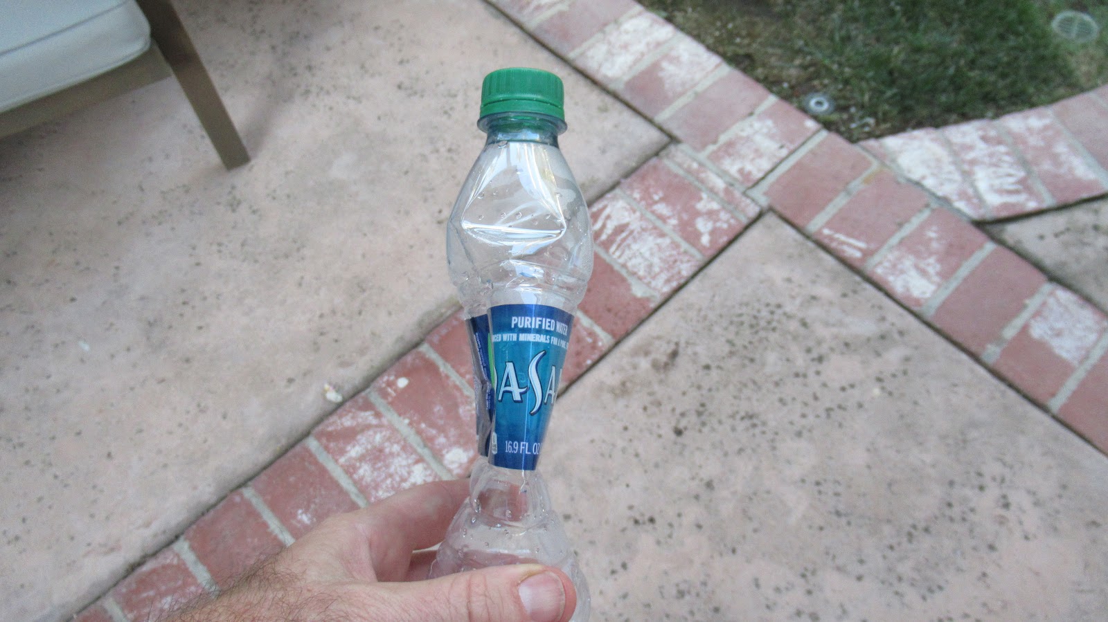
Science!
Tall cedars and pines kept the trail cool and the light dim. Although it rose steadily, Forsee wasn't too steep. Still, the gain piled up. Like most trails in SBs, it consists of long sweeping switchbacks. I reached the junction below Anderson Flat and went left in the direction of Dollar Lake Saddle. So far, I had only stopped for 2 minutes to eat a GU gel. I was feeling some mild AMS effects, a little space cadet glow. I stopped at the San Bernardino Divide trail to rest with 90% of the hard work done. After some food, the AMS went away. I headed east toward Alto Diablo, taking the trail skirting the north side of Shields Peak. The trail lost a little elevation before climbing up 20' below the minor bump of Alto Diablo. On the summit, I found an ammo box with a new register. There were no benchmarks on any of the peaks. Alto Diablo had very nice views.
I think this is San Bernardino Peak
View from Alto Diablo
Looking back at Shields and Anderson
From Alto Diablo, it was only a half mile back to Shields. I had seen multiple cairns set up below it on the trail and I headed for the first one I found on the way back. Shields is a large pile of boulders and scree. It can be climbed from any direction. I went straight up from the trail on the north. The large rocks were mostly stable and small rocks were mostly not. I stuck with the large rocks, all easy class 2. The rock scramble made Shields the most fun, and the 360 views gave it the best payoff. It was definitely my favorite of the day. The summit had a fresh wooden sign and ammo box but no register.
I looked for a clear use trail split from the trail below Anderson, but didn't find one. I headed up through open country finding a good use trail about half way. I followed it to a small pile of boulders that formed the summit. The immediate area was surrounded by trees and had limited views. Another ammo box held a naked register. I signed it, then wrapped it in plastic baggie. At 10840', Anderson is officially 1' higher than San Jacinto, but is only the 5th highest in the San Bernardino Mountains. From Anderson, San Bernardino Peak and SB East didn't look too far, but I guessed a round trip would add about 3 more hours and tip my pleasant day hike into a grind. I packed up and started down. The Forsee trail is probably the nicest I've been on in the SB range. It's smooth as silk with few obstacles. As a science project, I decided to fill a Dasani water bottle with thin Anderson air and see what air pressure did to it down below. I took the first photo below the summit at around 10700', then another when I got home at 450' above sea level. It was crushed nicely from the sides.
SB East and SB from Anderson
Science!