
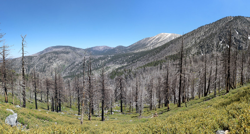
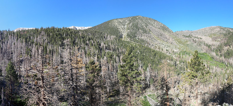
This trip was our first visit to the South Fork Trail since the Lake Fire back in 2015, and we wanted to see just how badly the forest got burned.
Day 1: South Fork Trail to Dry Lake
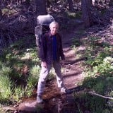
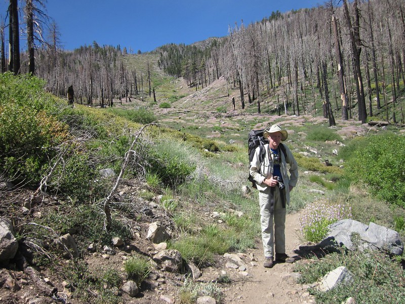
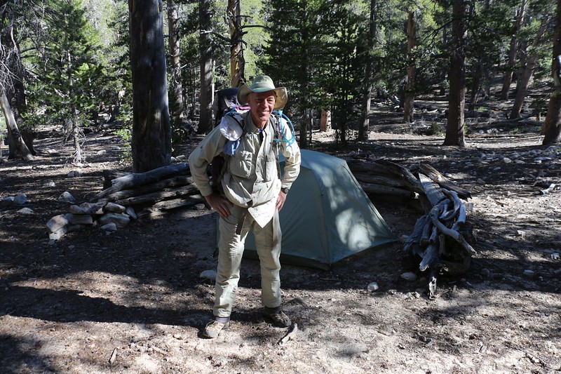
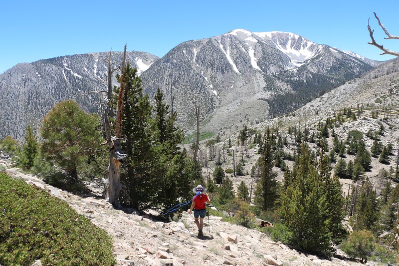
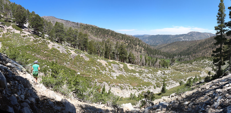
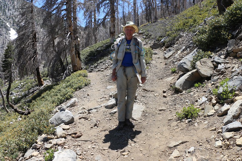
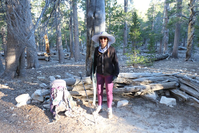
Vicki and I arrived at the trailhead just after dawn on Wednesday July 3rd, and the parking lot was essentially empty. Just the way we like it. We put on our big backpacks and headed out. We had six miles to hike, and 2300 feet to climb.
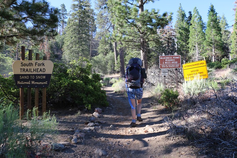
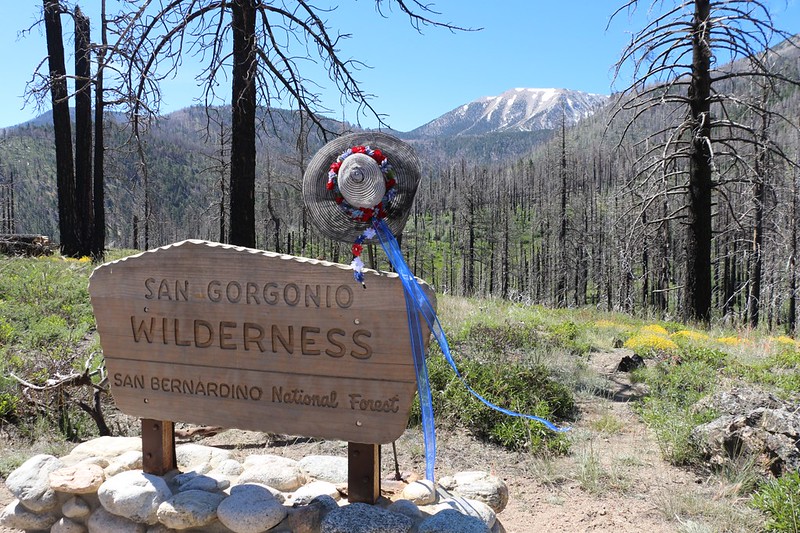
South Fork Trailhead signs with warnings about entering a burned area
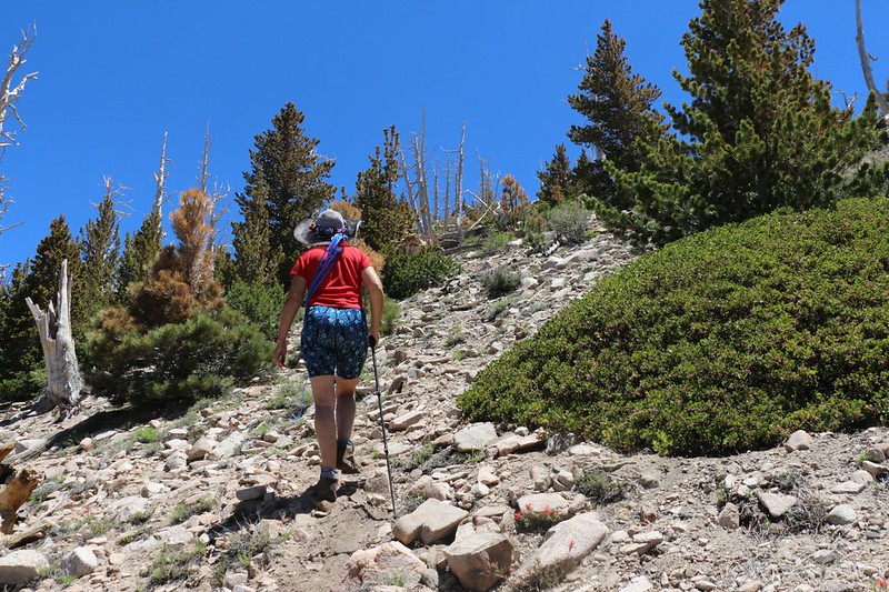
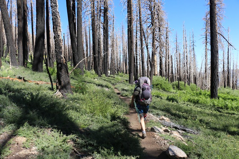
The first part of the trail had been reconstructed due to some washouts along the creek, and it was a lot steeper than the original trail. At least it was short.
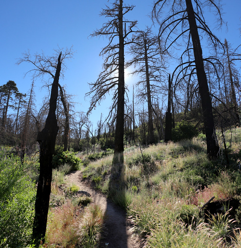
Morning sun silhouettes on the burned pine trees
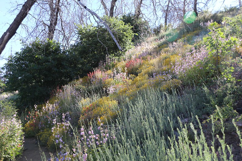
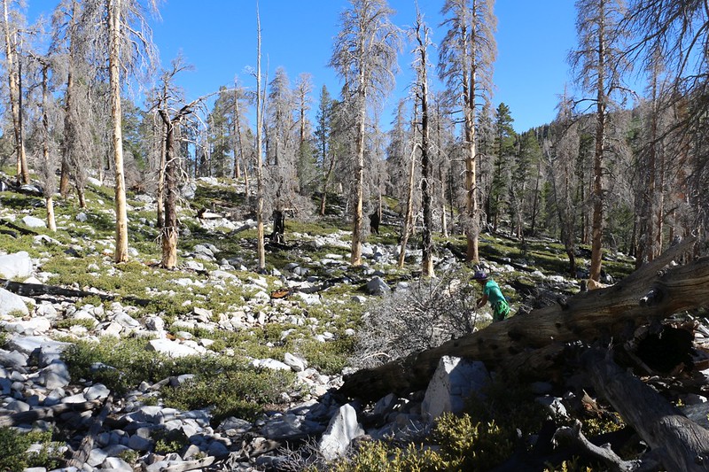
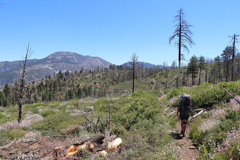
There were zillions of wildflowers blooming amid the burned trees - those are Black Oaks regrowing from the roots
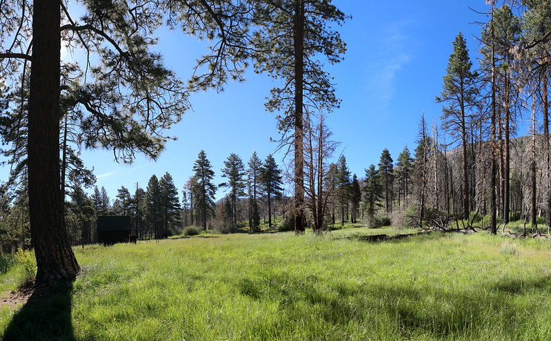
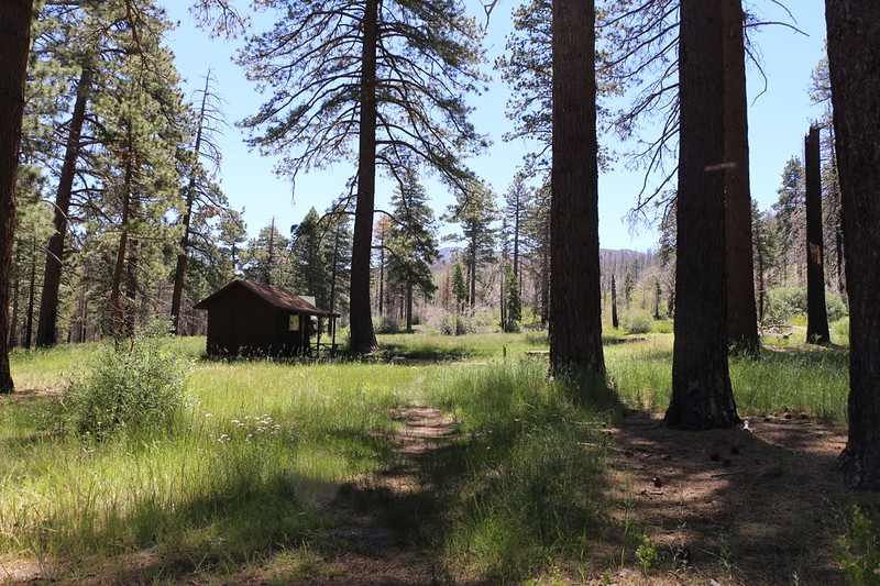
Horse Meadow and its historic buildings were saved from the fire. We took a long break there.
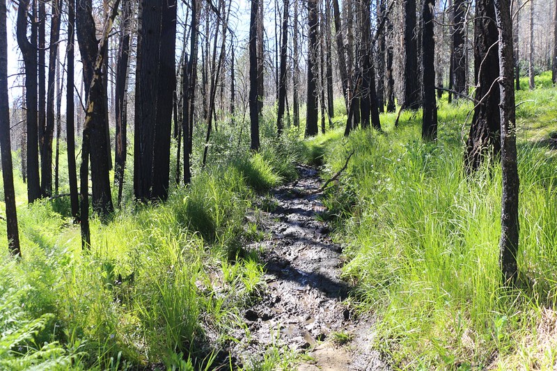
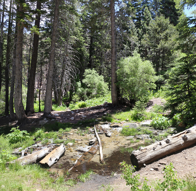
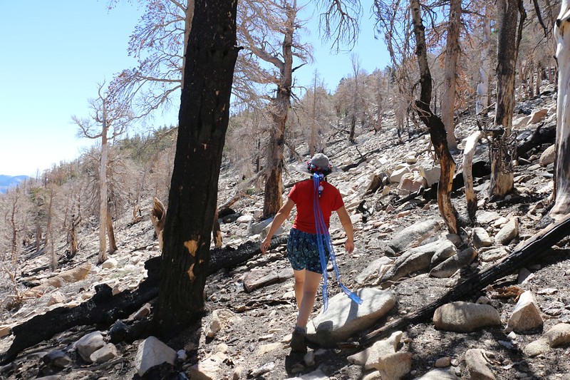
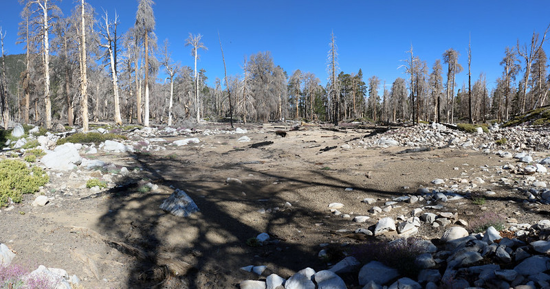
Burnt trees and a swampy trail
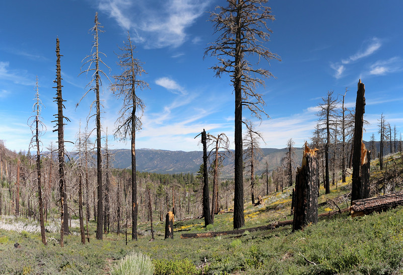
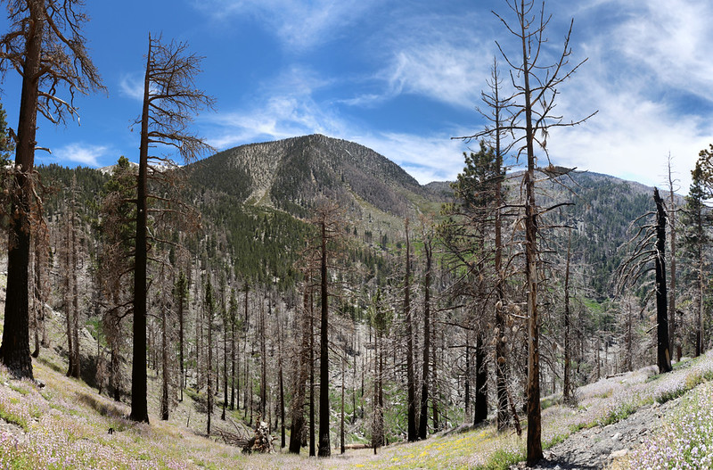
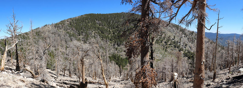
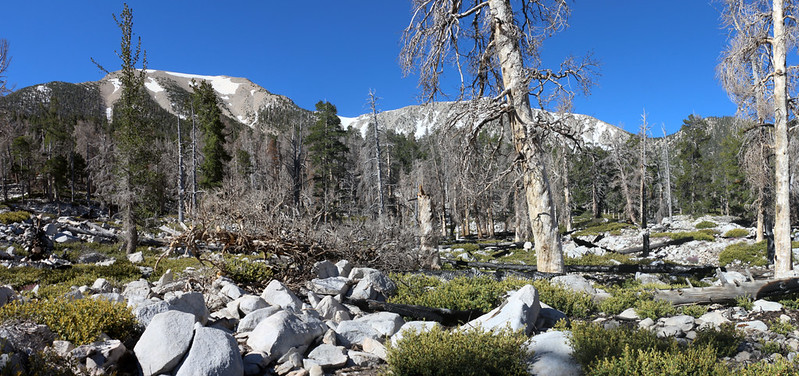
Looking north, with burnt dead trees in the foreground
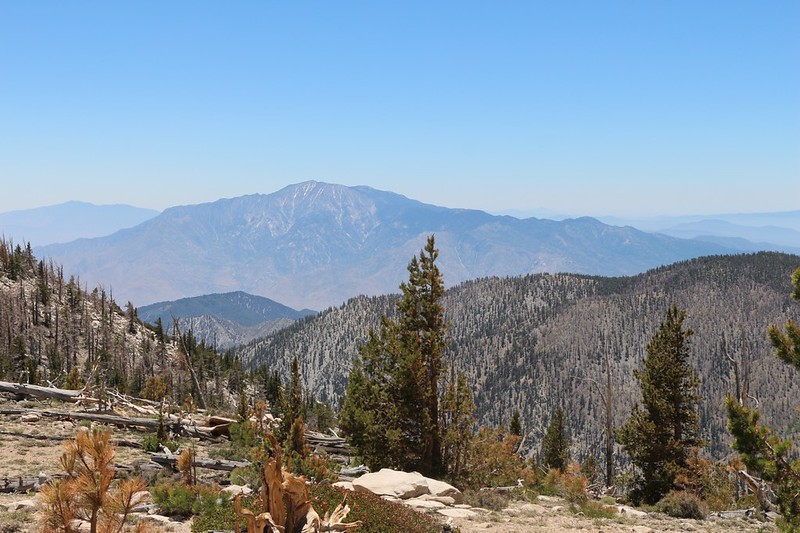
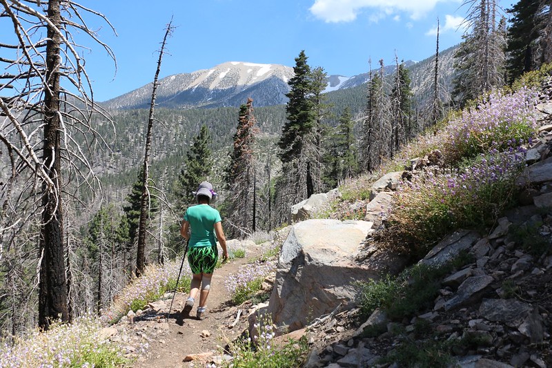
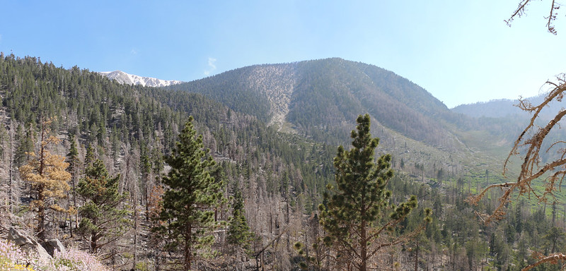
The Classic View of San Gorgonio Mountain from Poop-Out Hill
The trail crossed an avalanche path that led up toward Alto Diablo Peak
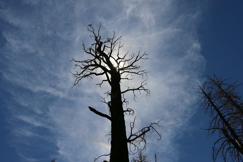
Dead, burned pine tree silhouette with cirrus clouds
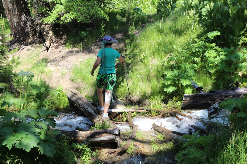
This is where the trail crossed the South Fork of the Santa Ana River. (aka Slushy Meadows)
After crossing the river, the Dry Lake Trail ascended via switchbacks on its way to the lake
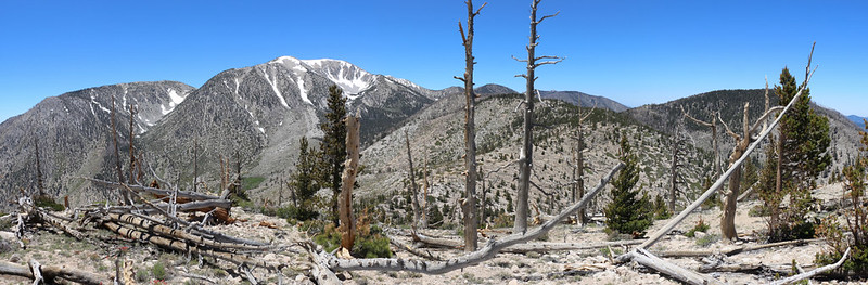
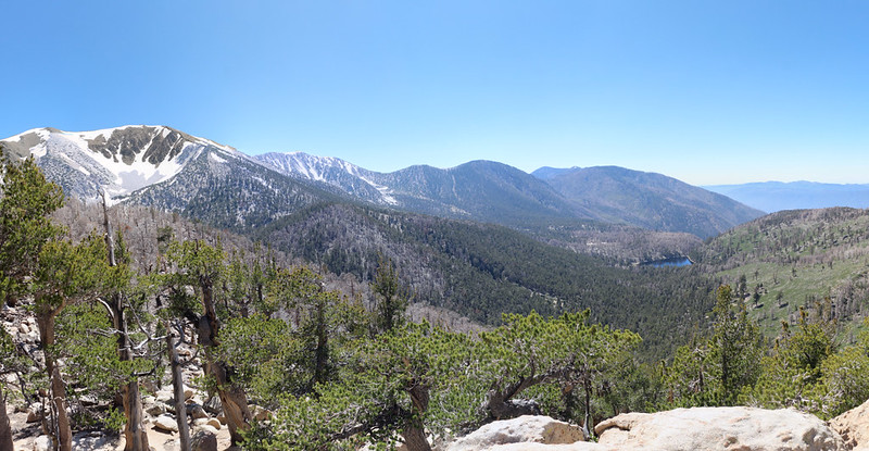
Panorama shot looking west toward Charlton Peak
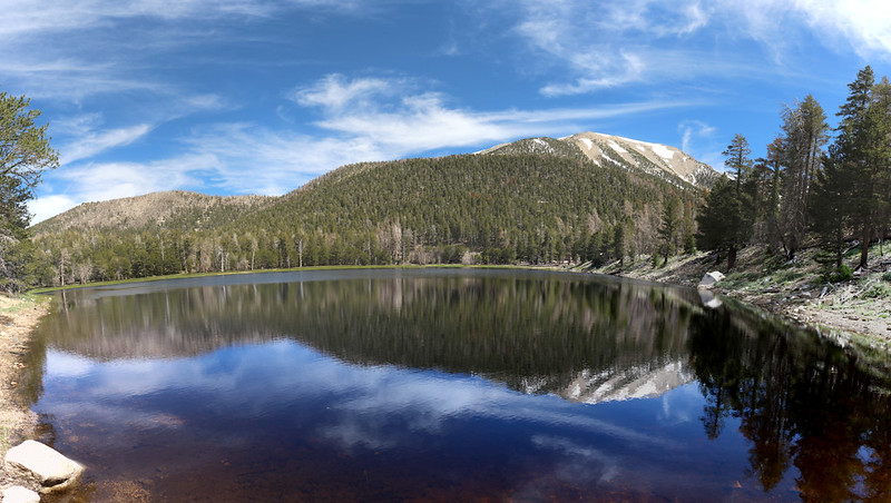
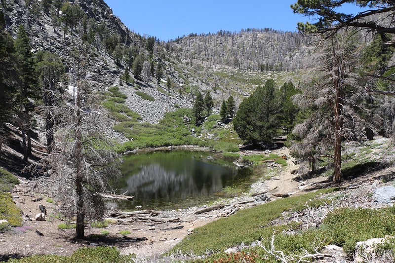
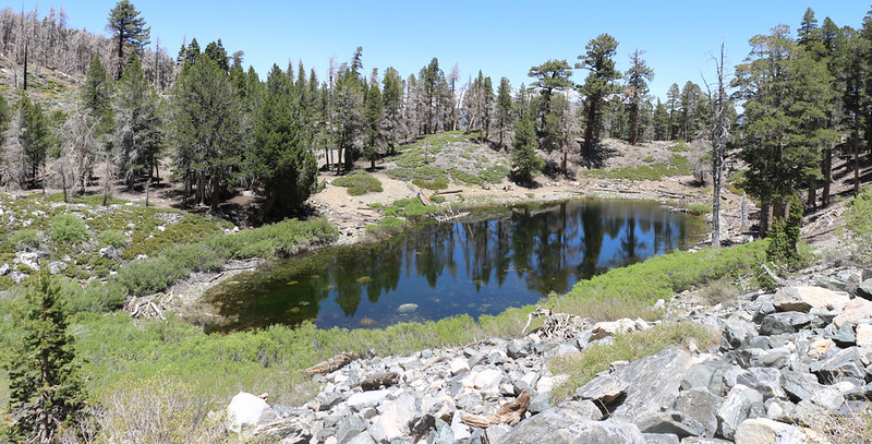
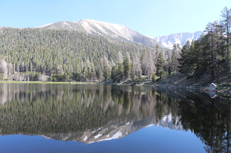
Panorama view of Dry Lake with a reflection of San Gorgonio Mountain
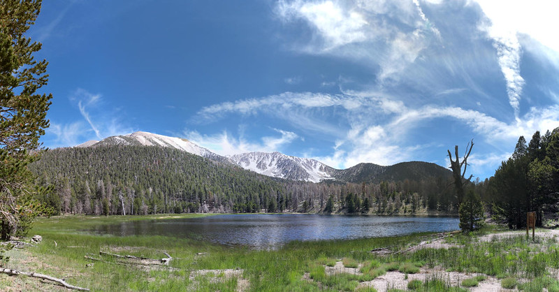
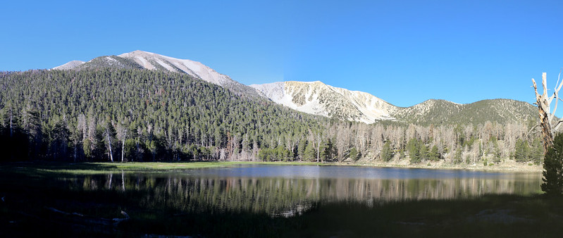
Panorama shot with San Gorgonio Mountain, Jepson Peak and the two Charltons
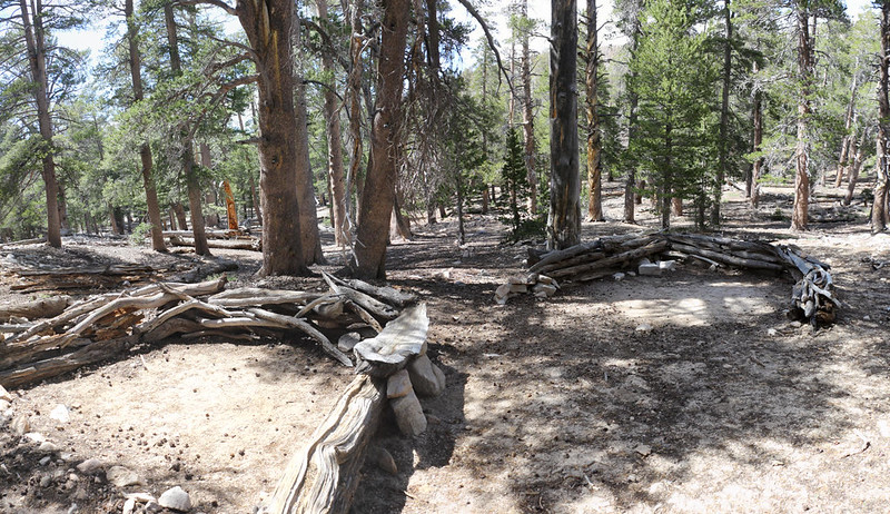
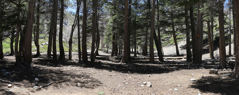
We found a secluded campsite in the Lodgepole Campground not far from the spring
We enjoyed a mellow evening. There were only a few people camping nearby that night, so it was peaceful. We were happy to see that Lodgepole Spring was running strong, and we filtered enough water for dinner, breakfast, and the next day's hike. We went to be early because we'd woken up at 2am and left San Diego at 4am in order to beat the LA traffic.
Day 2: Cross-Country hike to the summits of Ten Thousand Foot Ridge and Lake Peak
Back in 2014, before the Lake Fire, we tried this same exact trip, hiking in to Dry Lake so that we could bag Ten Thousand Foot Ridge, one of the few 10k peaks we hadn't climbed in SoCal. We hiked to the lake, but, sadly, there were big thunderstorms happening that weekend. Getting wet was fun on the way in, hiking all the way down in a protected valley, but we decided that standing on top of a mountain under those conditions was madness. So we aborted the trip the next day.
I had planned a return the next year, in 2015, but the Lake Fire began a week or so before that, and our hopes of bagging the peak were dashed for the foreseeable future. I knew that the powers that be (in the NFS) would do their usual knee-jerk response and close the forest for five years. It seems so stupid to me. How could a few hikers possibly do anything to harm a dead forest? The danger of human touch seems vanishingly small by comparison to the pure, unbridled destruction of a wildire. But some mindsets cannot be changed by reason or logic, and so they close the forest for years, and let the trails revert to the wilderness.
OK, enough ranting about this. At least it's open now, in less than five years (thanks in large part to the awesome San Gorgonio Wilderness Association volunteers!), and we were able to bag the peak this time. Hooray!
I carried Vicki's pack as our daypack - ready to hike with the ten essentials. Plus lunch!
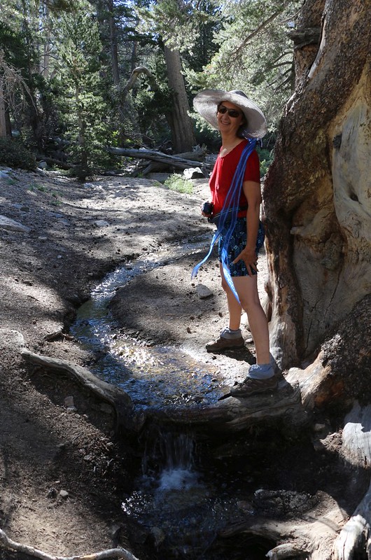
Lodgepole Spring as it flowed toward Dry Lake before sinking back into the sand
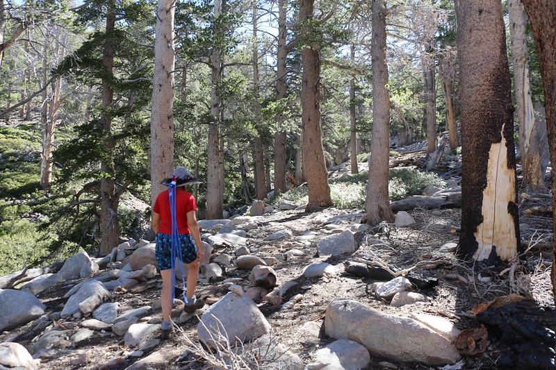
We hiked up the old trail to Fish Creek Saddle
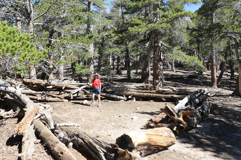
The campground at Fish Creek Saddle
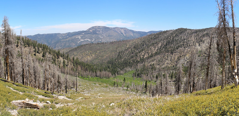
We headed east from the saddle, cross-country through burned terrain toward Fish Creek Peak
View of Grinnell Mountain from the ridge
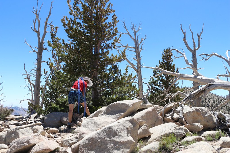
Vicki found a wooden contraption on the summit of Fish Creek Peak (Peak 9942)
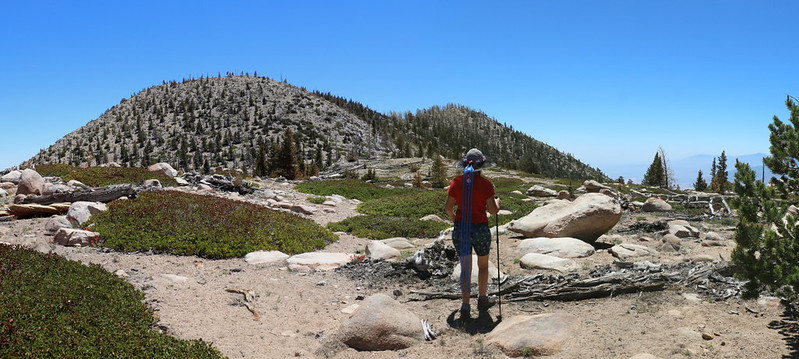
Ten Thousand Foot Ridge (Peak 10094) just ahead of us
It was steep and rocky as we climbed the use trail to the top
The summit of Ten Thousand Foot Ridge and the register box
Panorama view west from the summit
View south to San Jacinto Peak
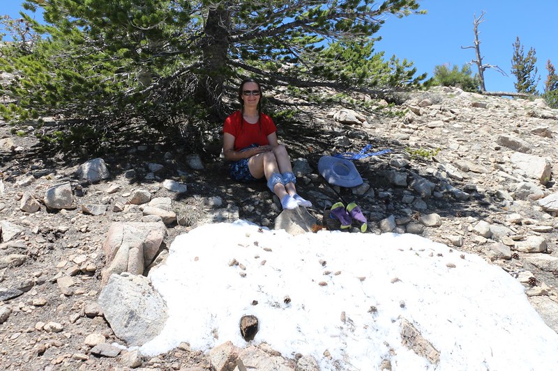
Vicki and I ate lunch in the shade on the northern slope. She cooled her feet on a patch of residual snow
We carefully descended the steep slope from the summit
We hiked along the top of the ridge this time, headed west toward Lake Peak. Apparently, some folks from the Sierra Club left a number of small ducks to mark the trail. They helped, I guess, but it wasn't that hard to figure out, namely: Stay on the ridge.
The Lake Fire burned most of the upper region of Lake Peak
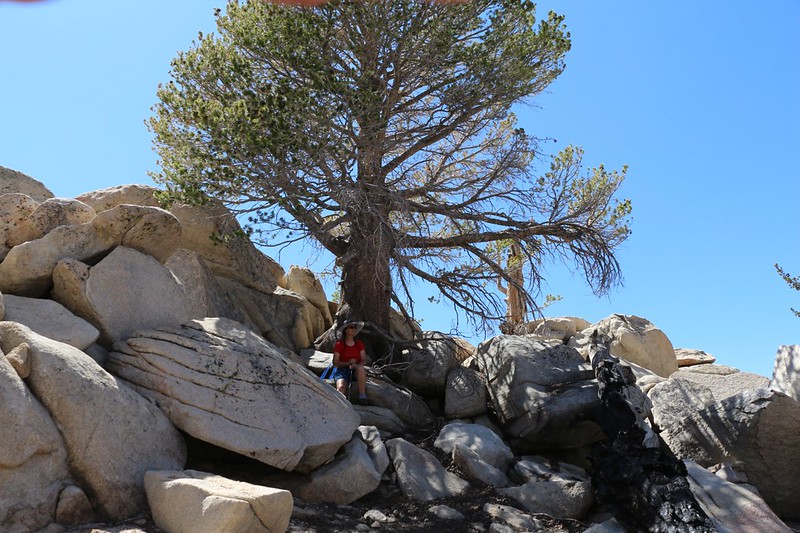
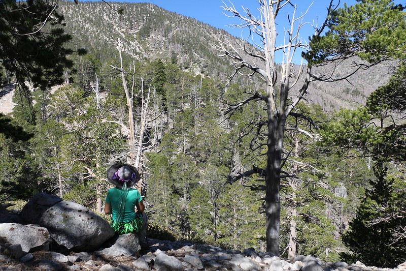
We took a break in the shade of an unburnt pine just below the summit
Panorama view northwest from the summit of Lake Peak, with Dry Lake down below
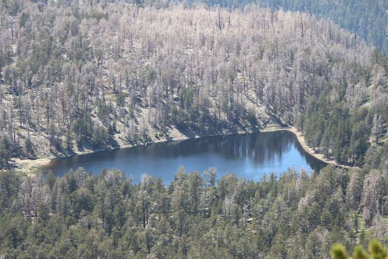
Zoomed-in shot of Dry Lake (not so dry)
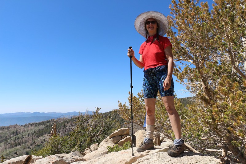
A happy Vicki on the summit of Lake Peak
After that, we descended steeply on an angle back to Fish Creek Saddle, then headed down the use trail to Lodgepole Camp. We ate some dinner and took an after-dinner constitutional down to the lake.
Evening panorama shot of Dry Lake with plenty of glare from the setting sun
Day 3: The Dry-Dollar Traverse
We foolishly decided to traverse to Dollar Lake from Dry Lake by staying at 9000 feet elevation (or so) the entire way. We saw this cross-country route on Hikin' Jim's awesome San Gorgonio CalTopo Map, and thought that it might save us from hiking all those extra miles on the main trails, and also from dropping down to 8200 feet along the way. The direct route was only two miles, rather than five, so it had to be better. Right? Right? Wrong. It was the shortcut from hell, and it took us five hours to get to Dollar Lake. On the way back, we wisely chose the main trails and it only took us three and a half hours. All in all, it was tough, but I'm still glad that we took the crazy route.
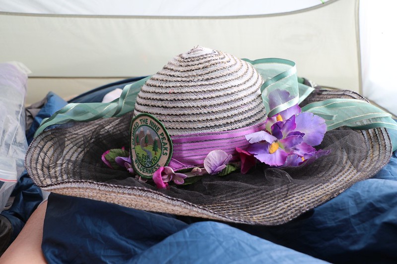
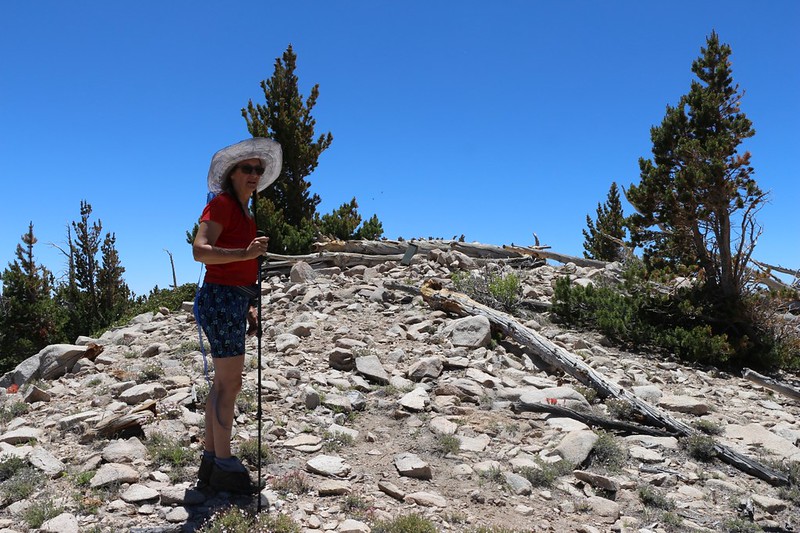
It's a new day and Vicki put her "I Climbed the Nine Peaks" patch onto her hat
We climbed up onto the jumbled granite boulders to the west of Dry Lake
San Gorgonio Mountain and Jepson Peak from the high, boulder-studded plateau west of Dry Lake
A flat flood plain on the plateau. Easy hiking. For less than five minutes.
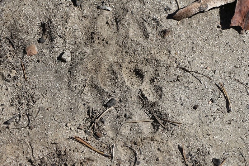
We think that these might be Mountain Lion tracks
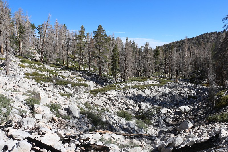
Hiking was slow across the boulder-strewn moraine on the Dry-Dollar Traverse
This area was supposedly under the influence of a glacier situated on the northern slope of San Gorgonio Mountain during the last Ice Age. These piles of rocks are evidence of the glacier advancing and retreating a number of times during that period. Hikin' Jim calls this area the "Glacial Chop Country."
We took a break before the first deep cleft we had to cross.
I checked the map but we didn't have much choice. Except to climb higher to a flatter area, but Vicki didn't like that idea at all. The whole point of this entire crazy hike was to stay at the same elevation, wasn't it? So we dropped a bit into the two big clefts and climbed back out. After that, we'd simply be hiking along the north slope of Charton Peak. How hard could that be? Well, we'd soon find out.
Side-hilling on the steep slope below Charlton Peak. This got old real quick.
One of several Avalanche Chutes on the slope - and we had to cross them all!
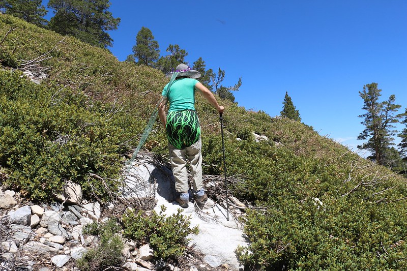
Good thing Vicki was wearing her bushwhacking leg covers as she climbed up into the chinquapin bushes
View down into the biggest avalanche chute
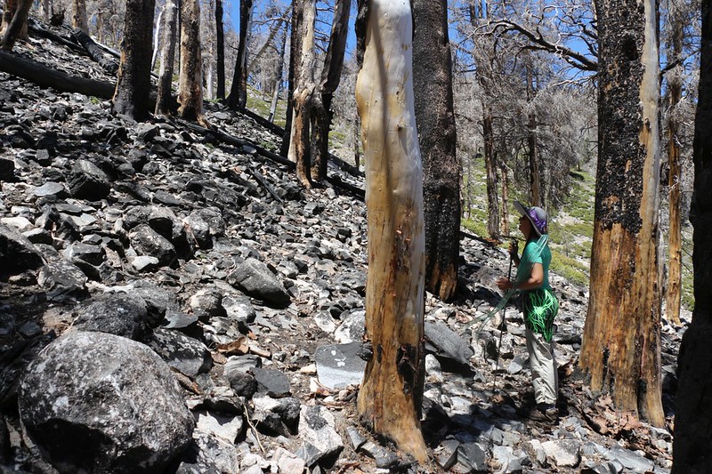
This section on the north side of Charlton Peak burned so much that even the rocks look burned
Eventually, of course, the traverse ended. We arrived at Dollar Lake. Vicki was totally whupped. We sat down under a tree and ate our lunch, then Vicki took a well-deserved nap. I took out the GPS and checked it out. We had hiked 2.3 miles and it had taken us almost five hours. This wasn't an unheard of speed for difficult bushwhacking, but it certainly wasn't great either. I also decided that there was no way we were going to hike back the way we came. Vicki would have to bite the bullet and take the trail with all its elevation losses and gains. It's the mountains. They go up and down. That's what they do. Trying to stay flat in the mountains is just asking for a heartache.
Our first view of Dollar Lake, which still had water
View north over Dollar Lake with the old campground on the left
The old Dollar Lake Campground - beautiful spot, but the signs all say No Camping
Me at the trail junction - Dollar Lake to the left, Dollar Lake Saddle to the right
Looking back at the Dry-Dollar Traverse Route that we had done that morning - a tough hike!
San Gorgonio Mountain in the distance as we descend on the Dollar Lake Trail
Now it's time to cross the South Fork and head uphill on the Dry Lake Trail
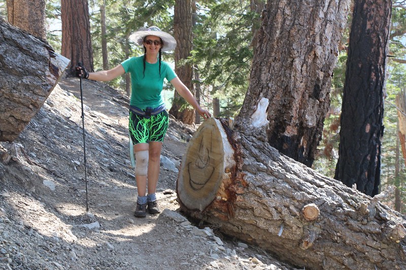
We passed a happy face drawn on the end of a sawn-off log on the Dry Lake Trail
Panorama view of Charlton Peak on a hazy afternoon from the Dry Lake Trail
San Gorgonio Mountain reflecting in Dry Lake
We finally made it back to camp, after a very long and exhausting day. Cross-country hiking is not for the timid!
Day 4: We packed up our gear and headed back out to the South Fork Trailhead
I had expected that the campgrounds would be packed with people, considering that it was the Fourth of July Weekend, but there really weren't all that many folks out there. Maybe it was because the fourth was a Thursday. And we were leaving on a Saturday. Maybe everyone would arrive as we left! But we never passed crowds of backpackers as we hiked back out. Just day-hikers enjoying the wildflowers.
We packed up our gear and Vicki was ready to head back home. Three nights was long enough.
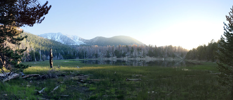
Early morning panorama over Dry Lake with San Gorgonio Mountain, plus Jepson, Little Charlton, and Charlton Peaks
The Dry Lake to Dollar Lake Traverse goes from left to right, with Dollar Lake Saddle the low spot on the right
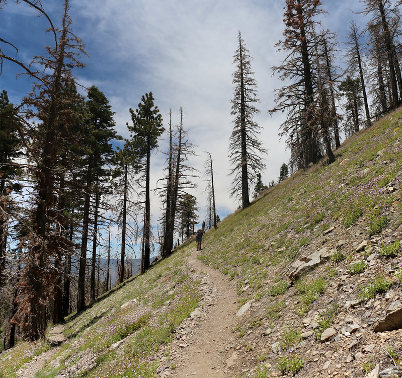
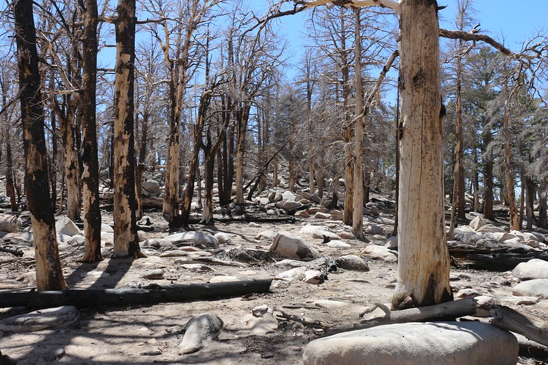
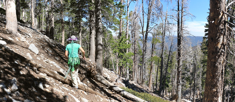
We took the trail down through all the dead trees from the Lake Fire
It was hot and all we wanted to do was get back to the car, but we had to keep on hiking
We took a boot-off break on the picnic table under the patio of the old cabin in Horse Meadows
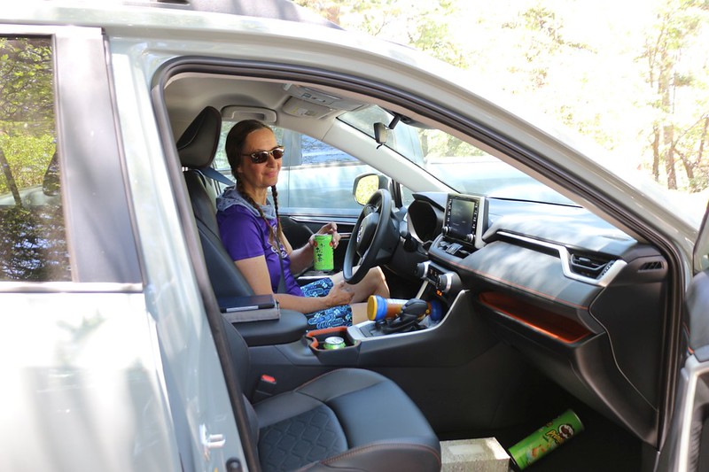
It was just past noon and we were already back at the car
It had been a remarkably fast downhill hike from Dry Lake - and it was definitely time to go home. We'd had a lot of fun, but we could feel our soft bed calling. And better food, too! But not until after a good hot shower. Like the old saying goes: Fish and Backpackers stink after three days.
The rest of the trip's photos and videos can be found on my Flickr Album Page.
For an interactive topographic map of our hike, including exportable GPS Tracks, please see my CalTopo Page.
Happy Hiking!
.


