

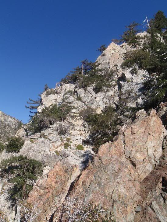
Fir Draw goes south out of Icehouse Canyon, up towards the top of Ontario. This ridge forms the eastern side of Fir Draw.
Drove up Glendora Mountain Road from Glendora, over to Glendora Ridge Road. Excellent drive. Slow, as it's the weekend, and everyone is out enjoying the fact that they're not at work.
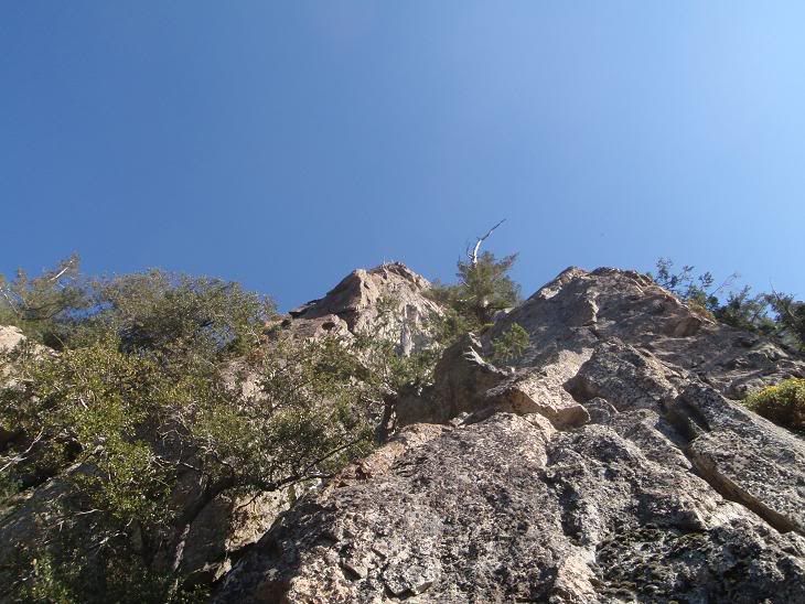
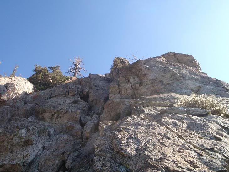
Went up, found low-5th class, fun climbing, with the possibility for more. Not a pure rock climb from most folk's standpoints due to the fact that it is a ridge that goes up and down, with good rock, bad rock, level spots, trees, etc. It's a mini-adventure, like the rest of the local climbs I've done here in Icehouse. Hardest move was around 5.8 or so. Some fun moves up there, but not for "puritanical" climbers. Mostly a fun scramble with a cool view, for sure.
Went up, saw two really small bears after I heard them making lotsa noise. Watched them go down Fir Draw. Saw their poop later, but no bears.
Went down, got onto the trail, and ran back to my car in 3 minutes, according to my watch.
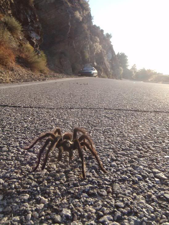
Took the fun drive back instead of just Baldy Road, so Glendora Mountain Road got my second "lap" of the day. Photo'd a tarantula, then pushed him off the road. He later walked back on the road. Drove on. Took Glendora Mountain Road North Stage down into the SG Canyon, onto East Fork Road, and down R39 to home. One LASD unit was giving tickets or whatever to the wierdos who camp out on East Fork Road. Really, what the hell is the allure of camping there?
Pics...
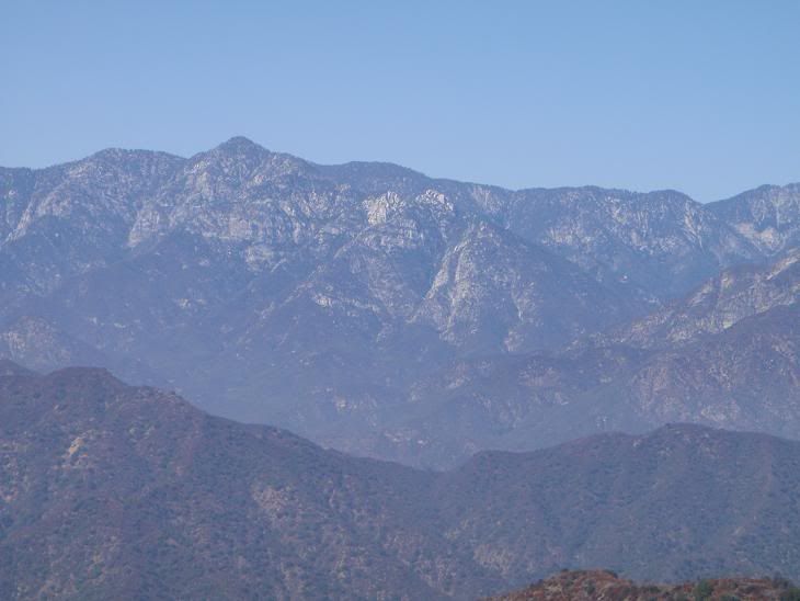
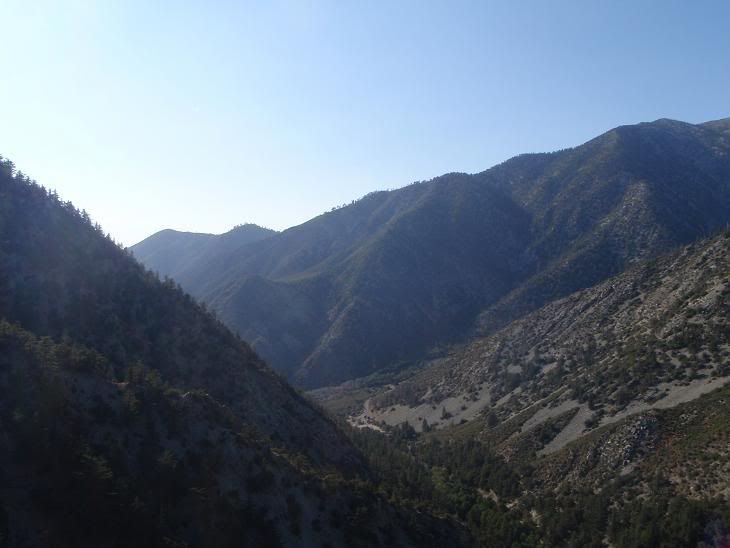
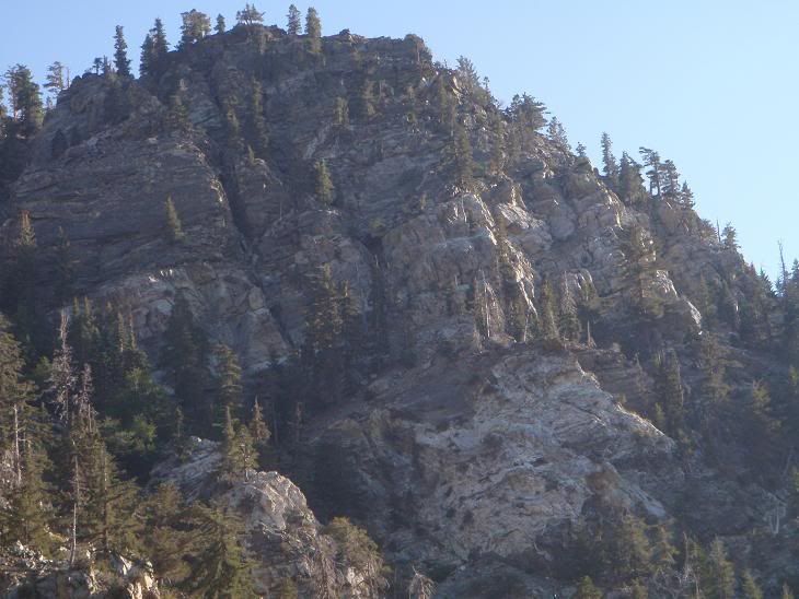
A shot of the south side of Twin Peaks... I'm looking to do a multi-day "expedition" of sorts to climb it this winter, if anyone wants to go with.
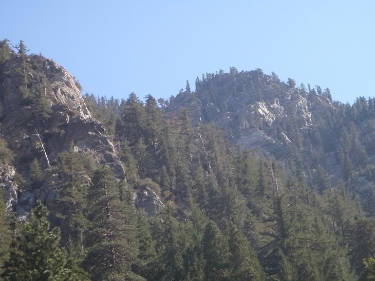
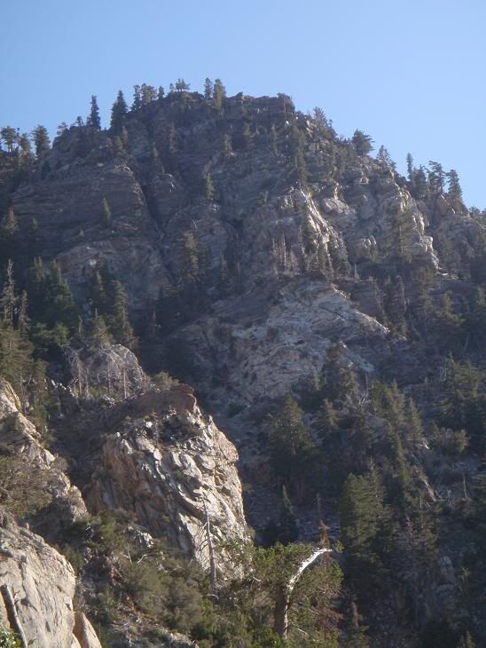
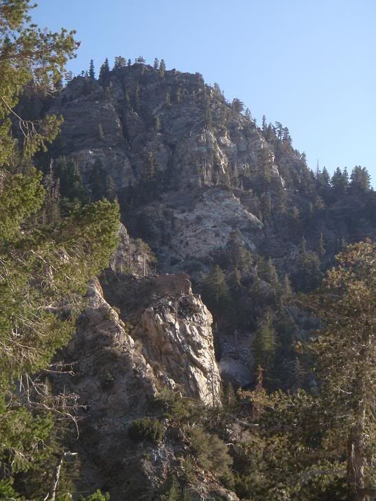
Crag I climbed today on the elft, with top secret winter project on right.
Starting up mossy rock. Moss makes easy moves a bit more loose.
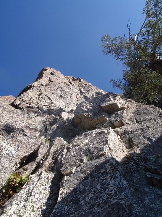
Pics on the route
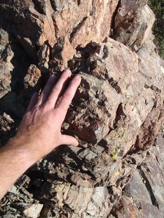
I don't know what kind of rock this is, but I've seen it on the East Face of Ontario before from Baldy Road. Red, so it's iron?
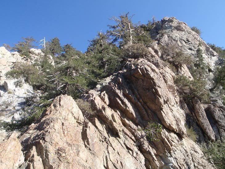
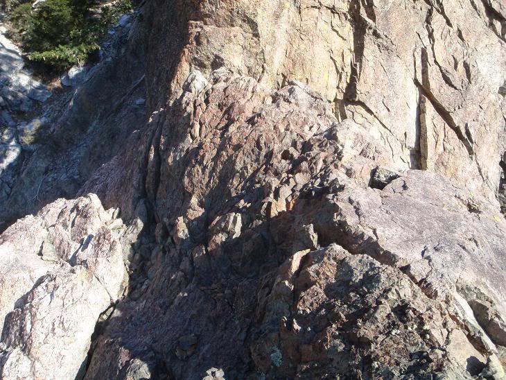
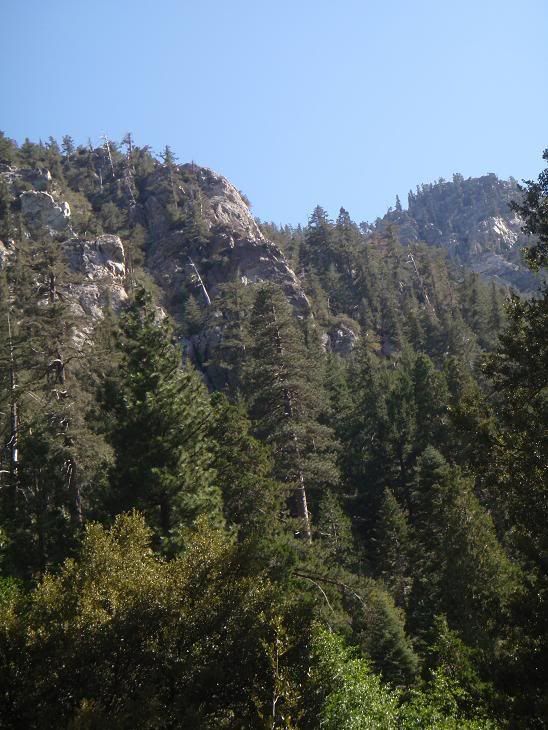
More shots...
(Really like that one)
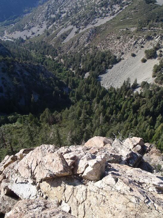
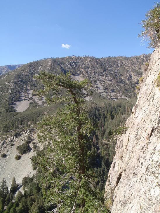
Last one is looking towards the parking lot.
One of my primary goals was to photograph a sort of wall in the area...
Beautiful... for this winter...
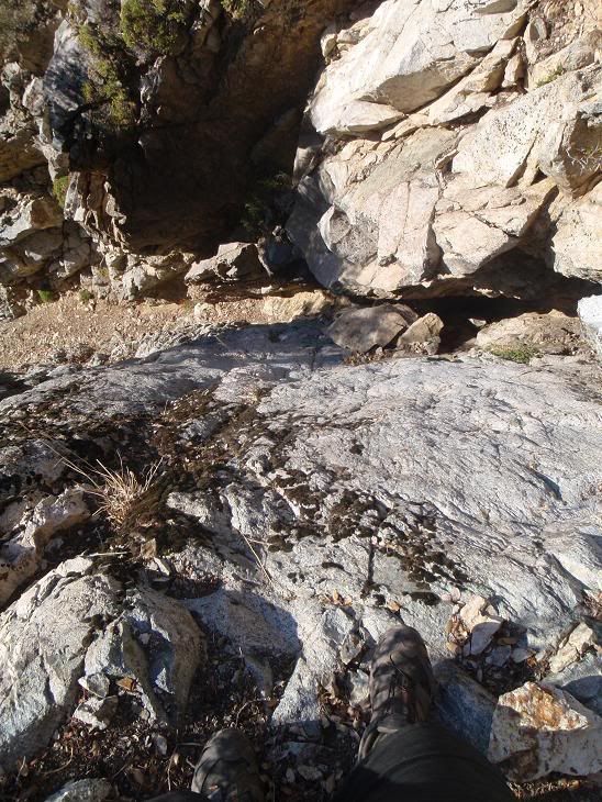
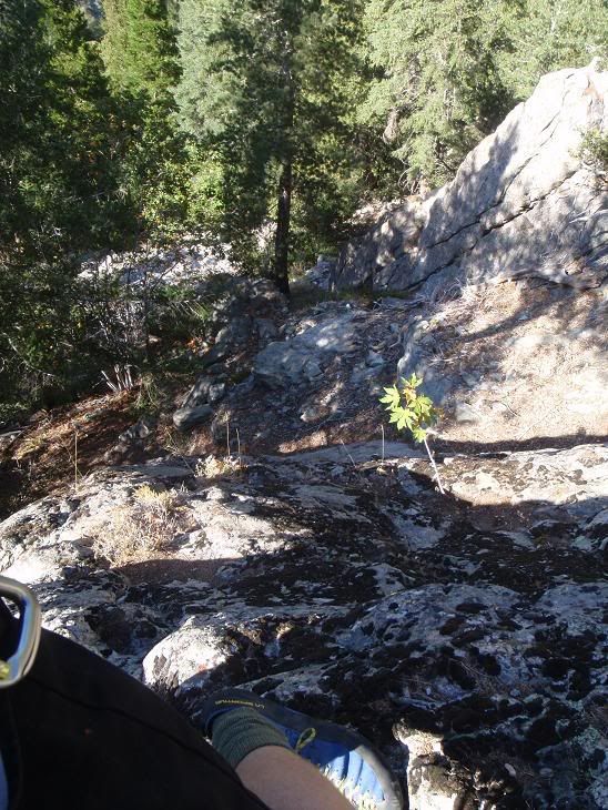
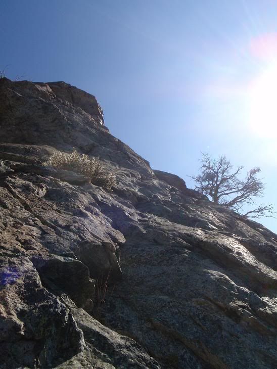
This wasn't fun to descend...
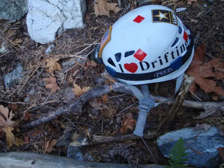
Helmet and partially-decomposed deer leg
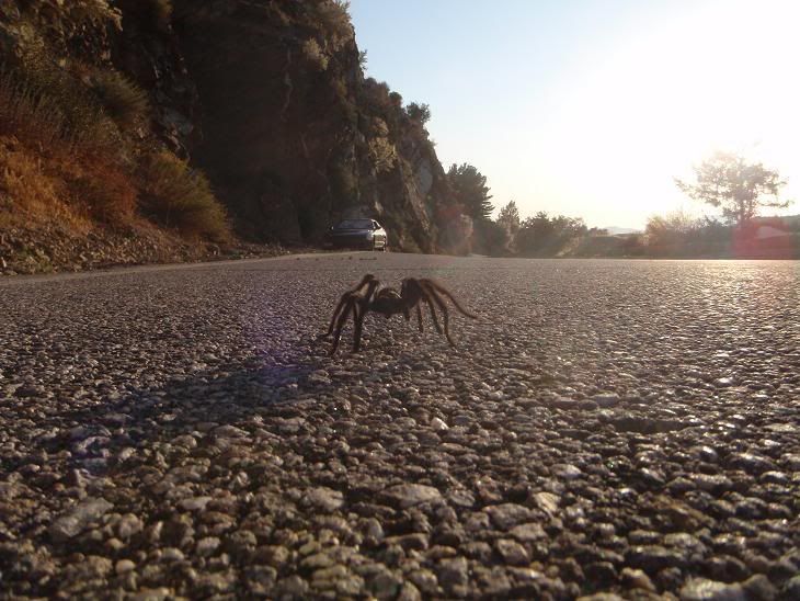
Tarantula and my car
Oh yeah, Fight On, I didn't bring a rope, so don't worry.


