

There's a reason this mine is not well known. Here's a taste of what you're in for if you seek it out. PAIN!!!
At the portal there's a dam, built by the Conservation Corps. This mine was used for their water supply from 1933 to 1942.
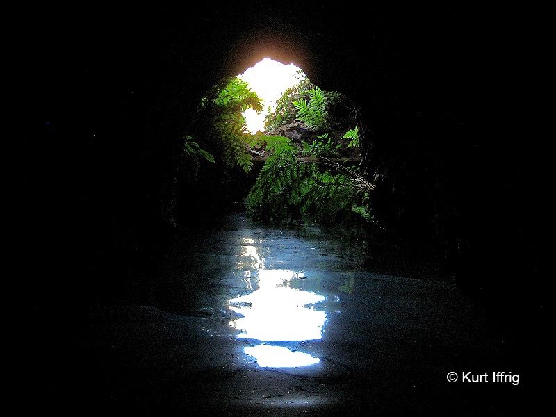
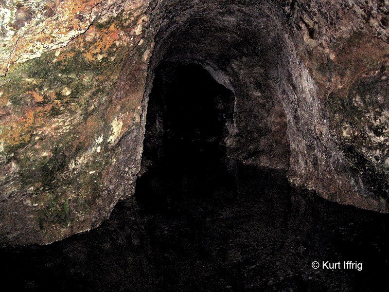
Initially the water is deep, and I fried my cell phone wading in. But after about 30 feet the mine is mostly dry.
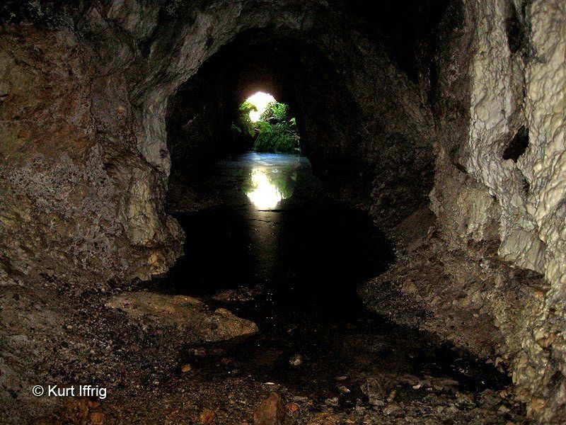
This is the first view you'll get from inside the portal. I measured the main adit at about 185 feet and a side fork at 143.
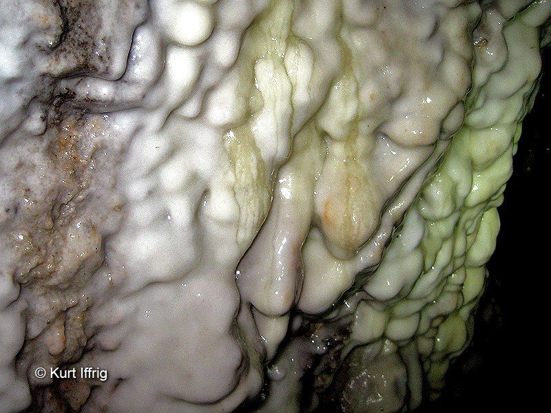
Along the right wall of the main adit there's a lot of nice calcium carbonate buildup.
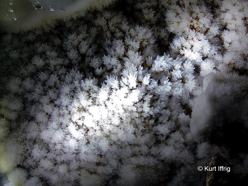
This is something I've never seen in any other mine. These tiny crystal trees are called shimmering aragonite.
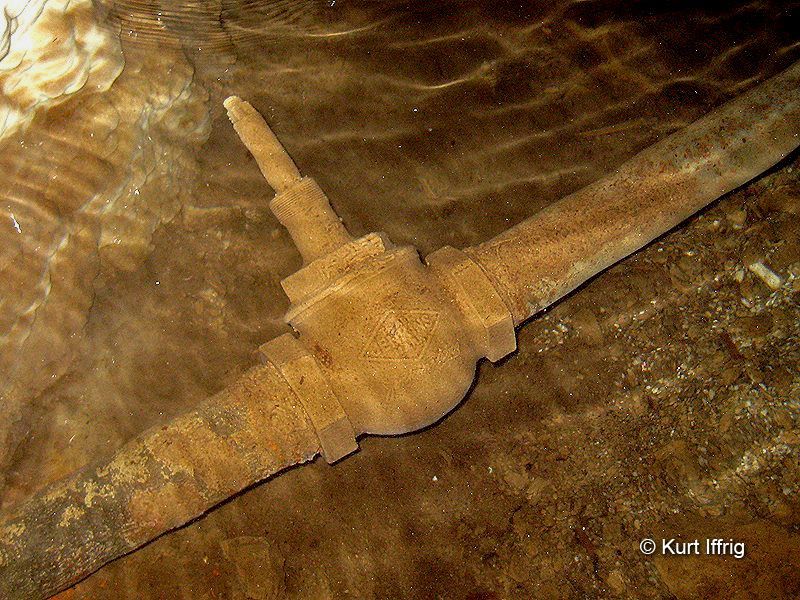
This old water pipe probably dates back to the 1930s, when the Conservation Corp tapped the mine for water.
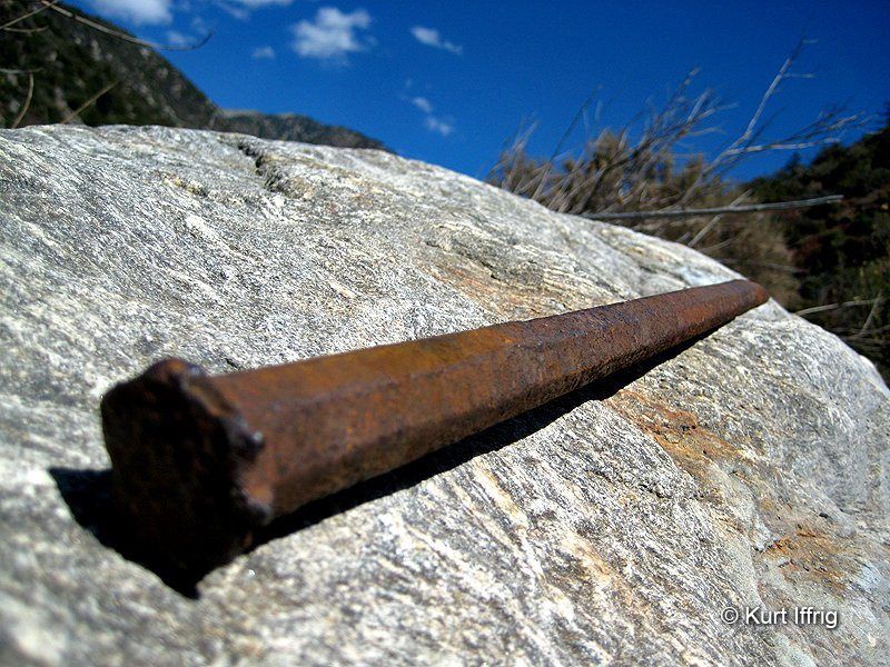
I usually leave artifacts where they lie, but this one was almost completely buried in the side fork. Now it's my trophy.
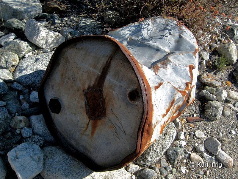
This was a surprising find. It's an old cyanide tank, washed downstream from one of the mines. I've seen many of these at desert mine sites.
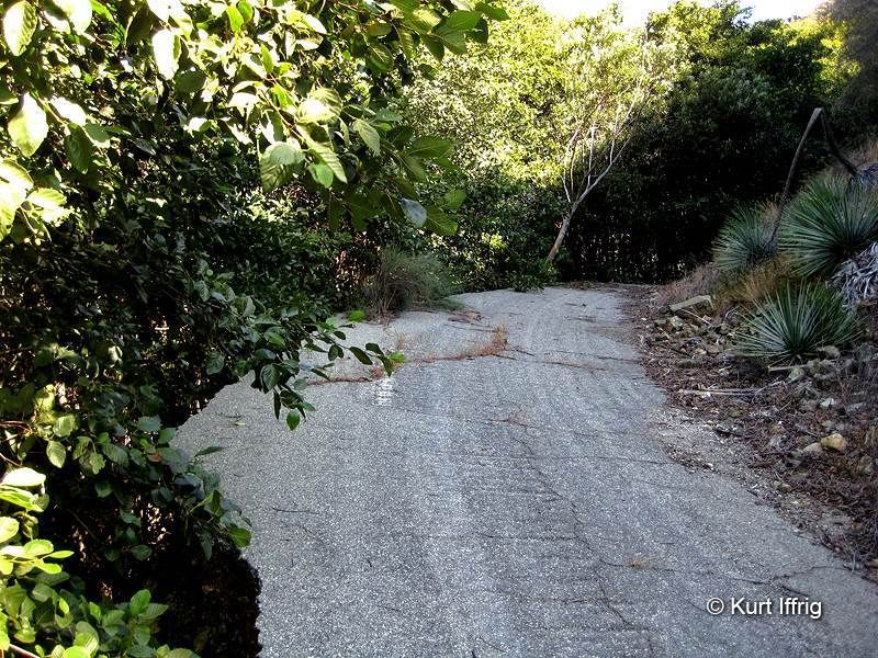
Here's a remnant of Old Baldy Road, which ran from the Lower San Antonio Fire Station up to Barrett Stoddard Road
It was washed out by two floods, one in 1938 and a second in 1966.
This was a particularly interesting find. It's an old water tunnel, still being used by the San Antonio Water Company.

After finding the tunnel I found a secret trail that runs on top of it. Along the way there are six locked maintenance shafts.
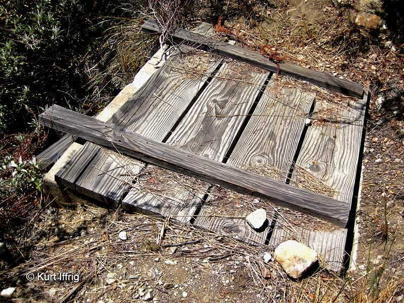
And at the end (nearly one mile away) is the back end of the tunnel, loosely covered with wood.
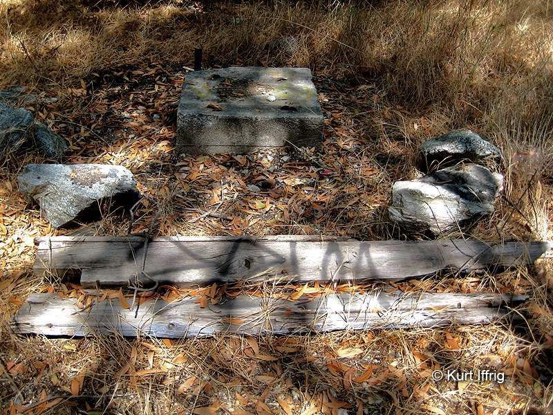
While looking for the base of Cascade Canyon I came across this site, which appears to be an old miners cabin or camp.
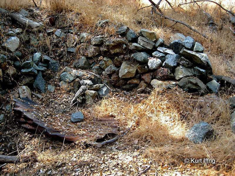
I can't confirm what this is, but it looks similar to old single stamp mill foundations I've seen in the past.
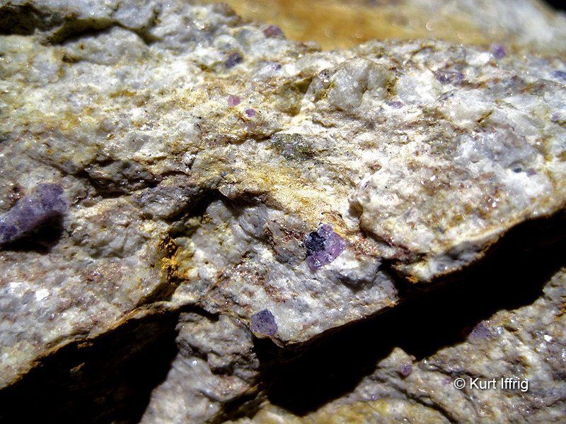
This rock is called corundum (aluminum oxide). The tiny purplish gems inside are raw rubies. Sapphires can also be found in these rocks.
There's a large deposit of these rocks on the side of Barrett Stoddard Road, close to Cascade Canyon's midpoint.
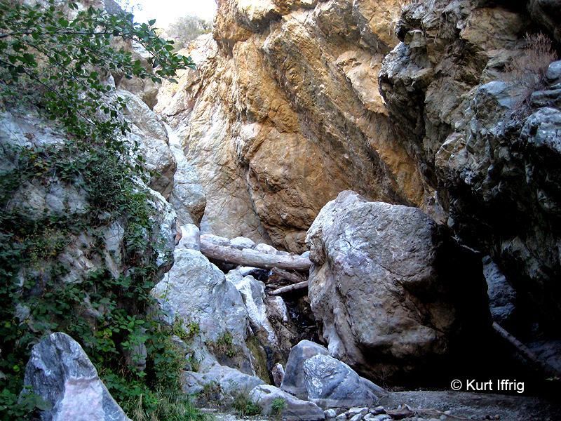
Moving further upstream the creek splits. The right fork is Stoddard Canyon, and some beautiful narrows.
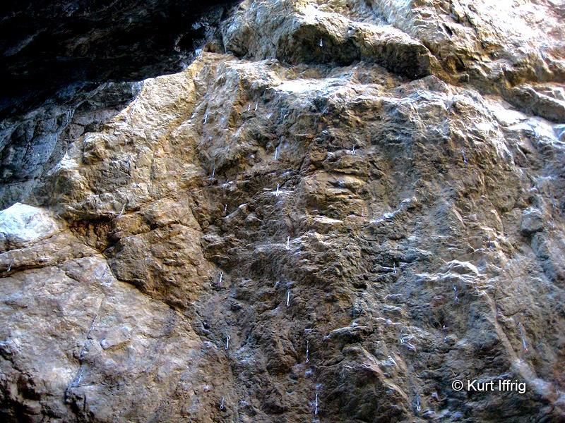
This is a popular spot with rock climbers. I found over 50 old anchors in one of the cliff walls.
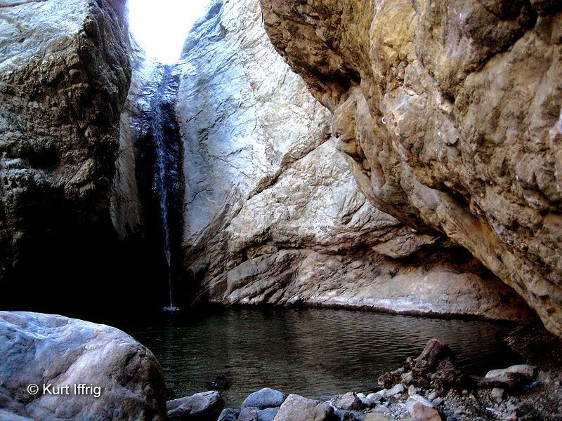
I took this shot of Stoddard Canyon Falls in the late summer. When the pool is deeper you can actually slide off the top.
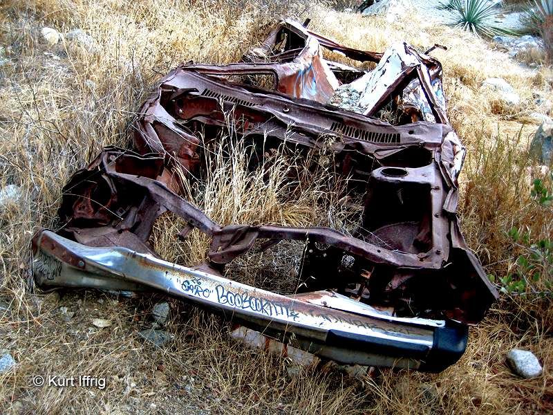
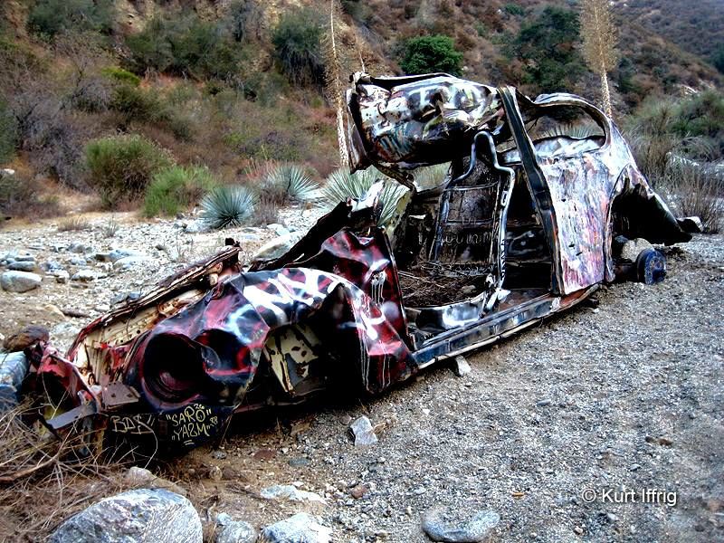
Car wrecks galore on the way up San Antonio Creek. Here's number one
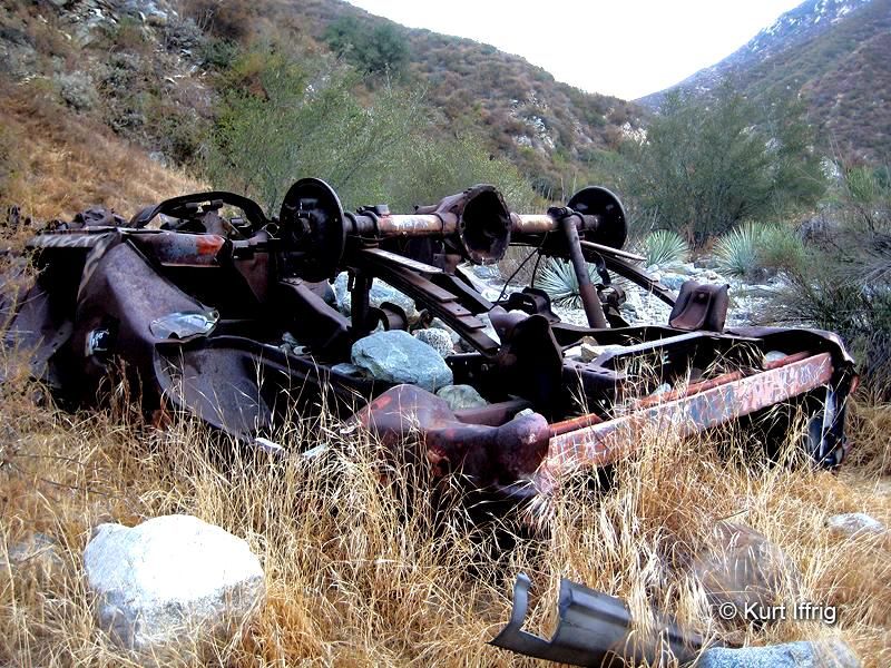
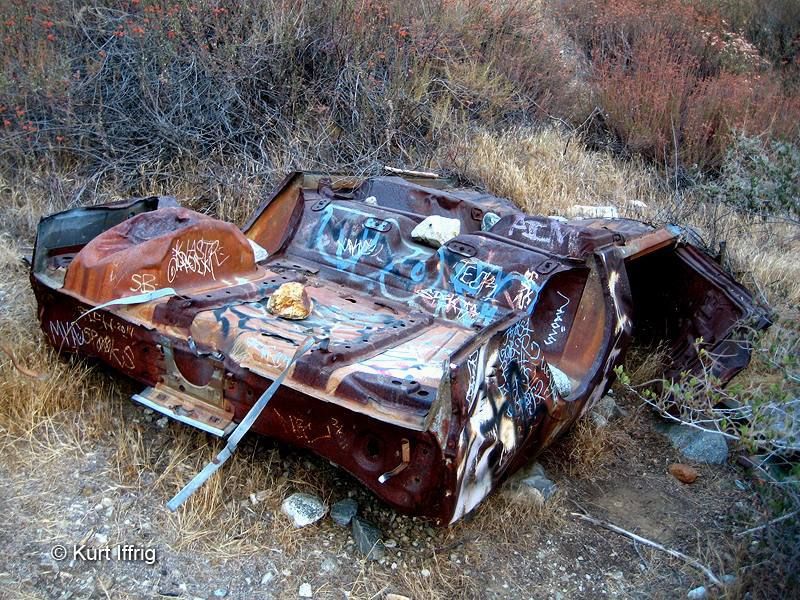
And number two
And number three (VW bug)
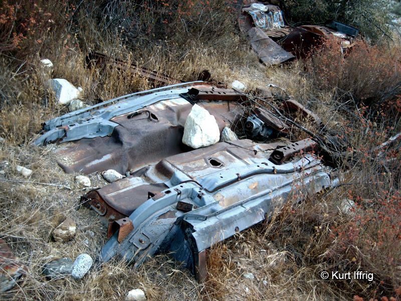
And number four (possible Corvette)
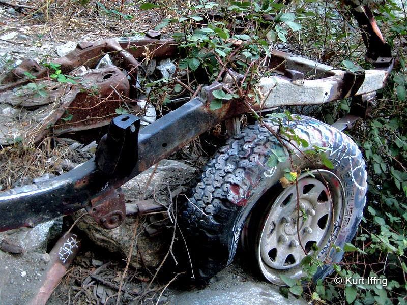
And number five
Number six is in Stoddard Canyon
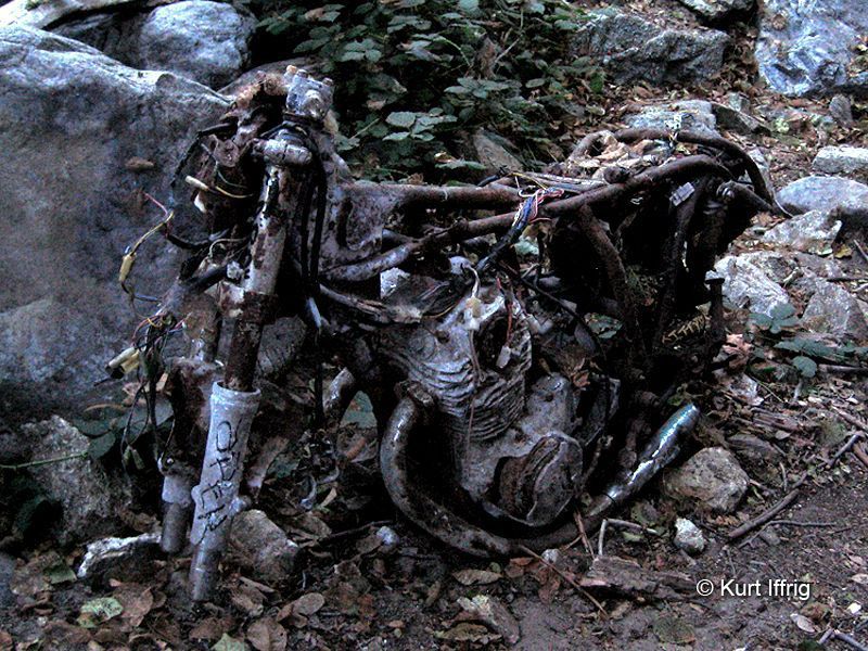
As are the remains of this old motorcycle.
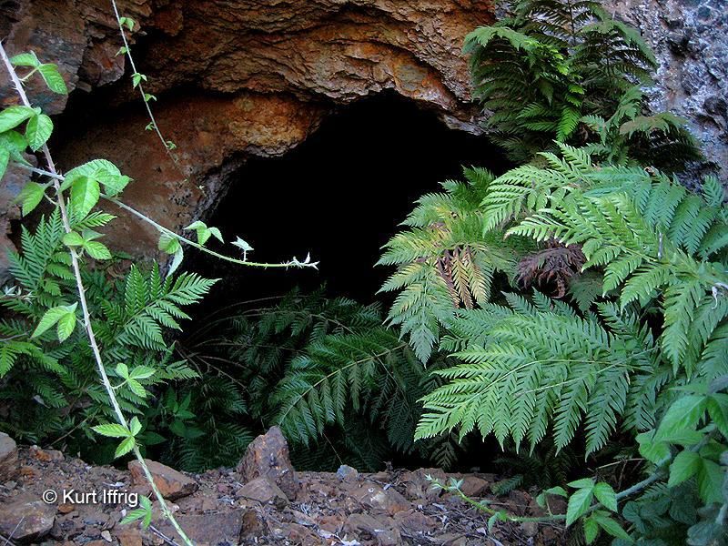
The mine on this page is called the Red White & Blue Mine. It's located on the west side of Spring Hill.
At one time it could be seen from between the two tunnels on Mt. Baldy Road, but that was after the Gran Prix fire of 2003.
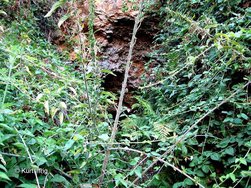
Today it's a lot tougher to find, but the clues are out there. I'll let you search for them, as I did.
Wear long pants, long sleeves and bullet proof armor if you have any. Good luck! I predict PAIN!!!
To see more on the Red White & Blue Mine click here

