I ran from the waterfalls up about 200 meters, and stopped running.
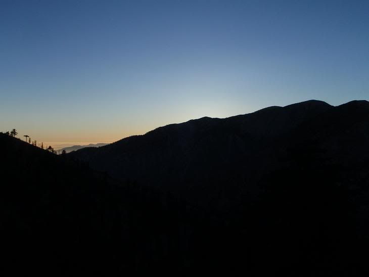
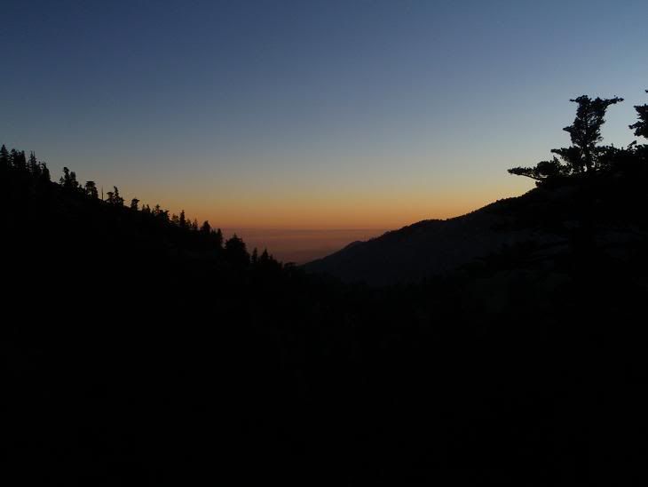
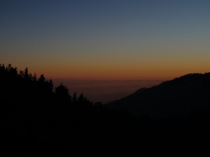
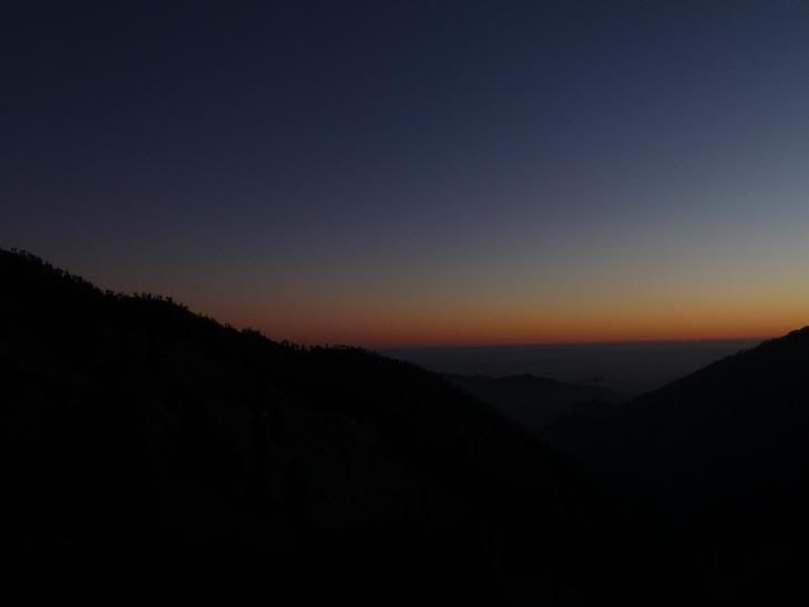
Did not see the moon, and I'd rather not be up high without a moon. Decided to go check out Telegraph for some winter climbs. Got to the top of Thunder Mountain, and took some shots. Decided to turn home and not go to Telegraph.
After heading back down the dirt road to Wanker Flat, I decided to run after that outhouse type structure with pipes. From there to the car took 15 minutes.
Photos:
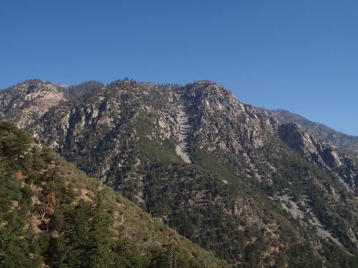
Sugarloaf, might try that big gully in winter.
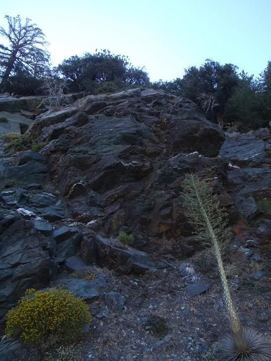
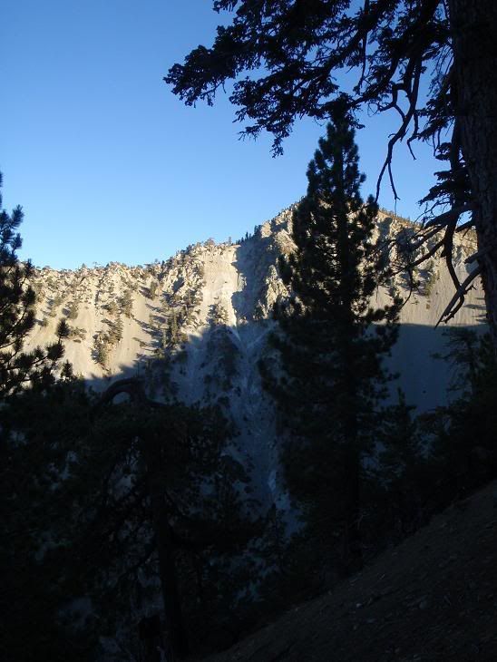
Neat crag on the dirt road to the notch.
Lightning Couloir, a fun short winter alpine climb that ices up. Throws missiles at you in the morning.
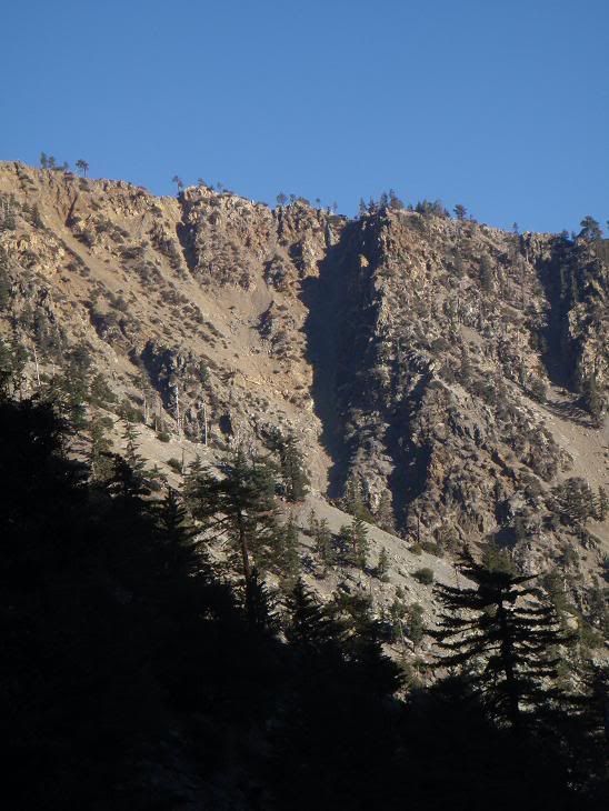
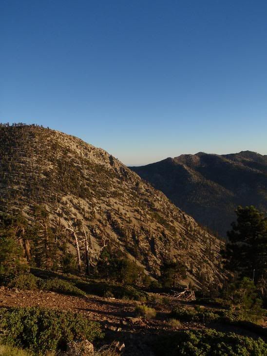
Big gully up Telegraph to the shoulder.
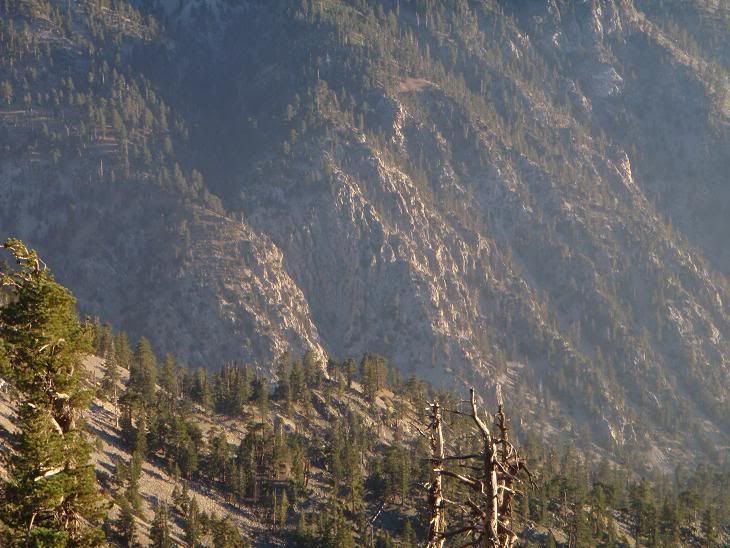
Sheep Canyon, where I've been doing lotsa climbing.
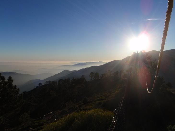
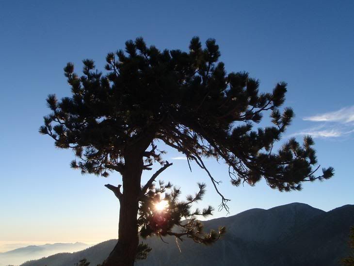
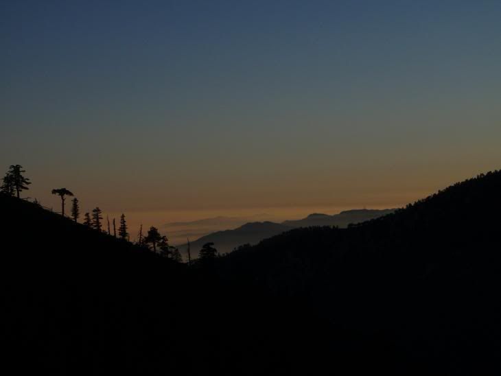
From the top of Thunder
Looking towards Telegraph Peak's awesome west face, gotta nab it on try number three.
Crags on Ontario
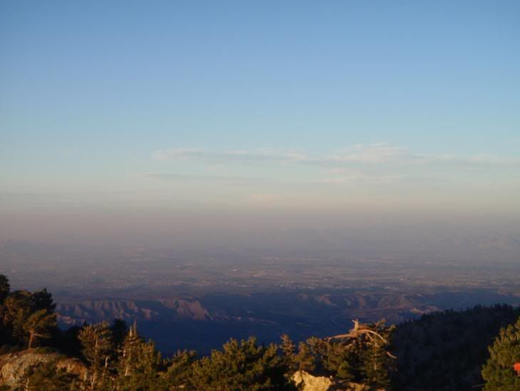
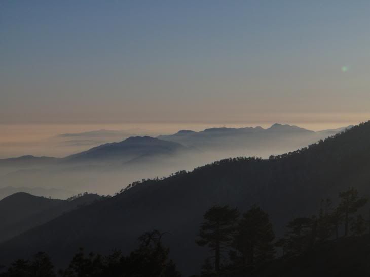
High Desert
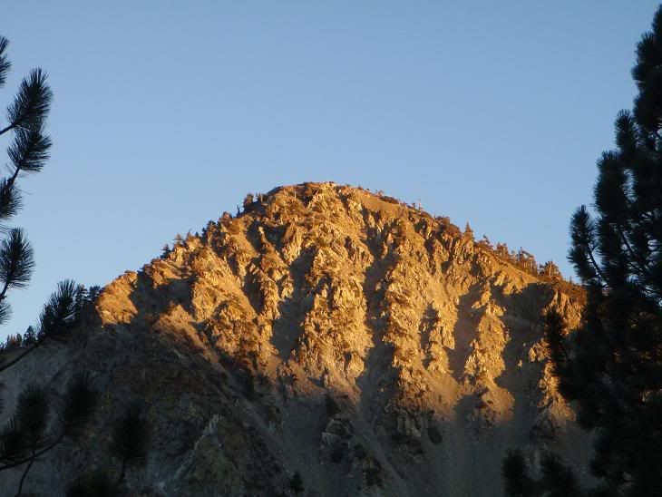
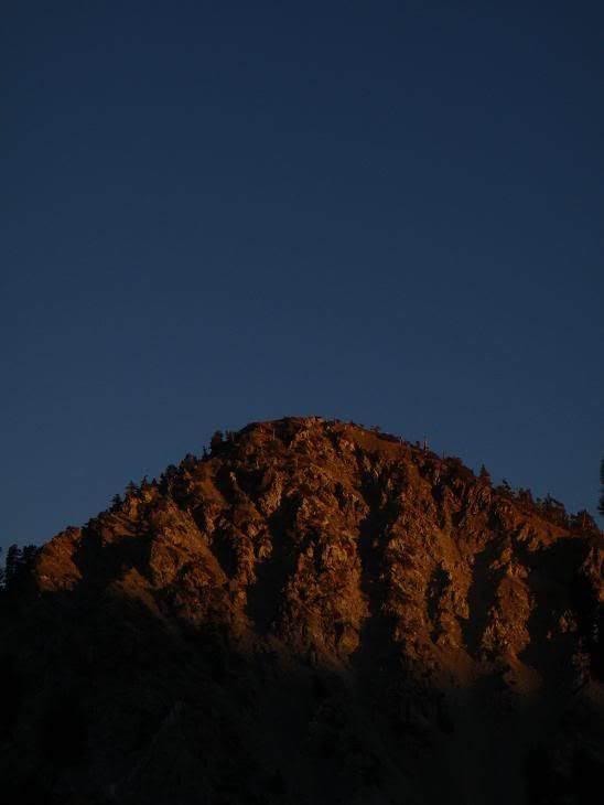
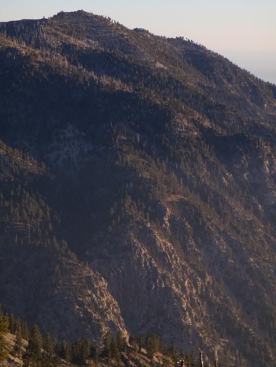
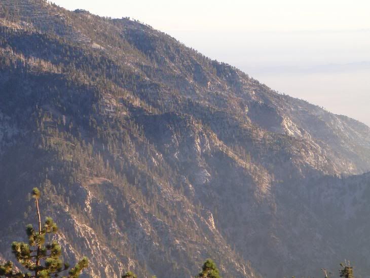
Telegraph
Stuff