


To the south, Alder Creek joins Big Tujunga which feeds the Los Angeles River. To the west, Tie Canyon joins Aliso Canyon which feeds the Santa Clara River. And to the north, Santiago Canyon joins Little Rock Creek which drains into a dry lake basin around Edwards Air Force Base in the Mojave Desert. I learned of this Triple Divide by scrutinizing the map at Peakbagger.
Around 11am, I parked at the Pony Park Day Use lot next to the Mill Creek Summit fire station. A few minutes later a couple PCT thru-hikers arrived. They had started from Chilao at 4:45am and were eager to catch a trail angel-ride down to Palmdale. They looked beat and smelled pretty rank.
The temperature had already reached into the 80s. One of the thru-hikers benefited from an umbrella attached to his pack. Seeing this reminded me to fish out my own umbrella from the large pile of stuff in the back of my SUV. It was a small hook-handled rain umbrella, and I had to hold it in my hands, but this minor inconvenience was worth keeping the sun off most of my body for most of the day.
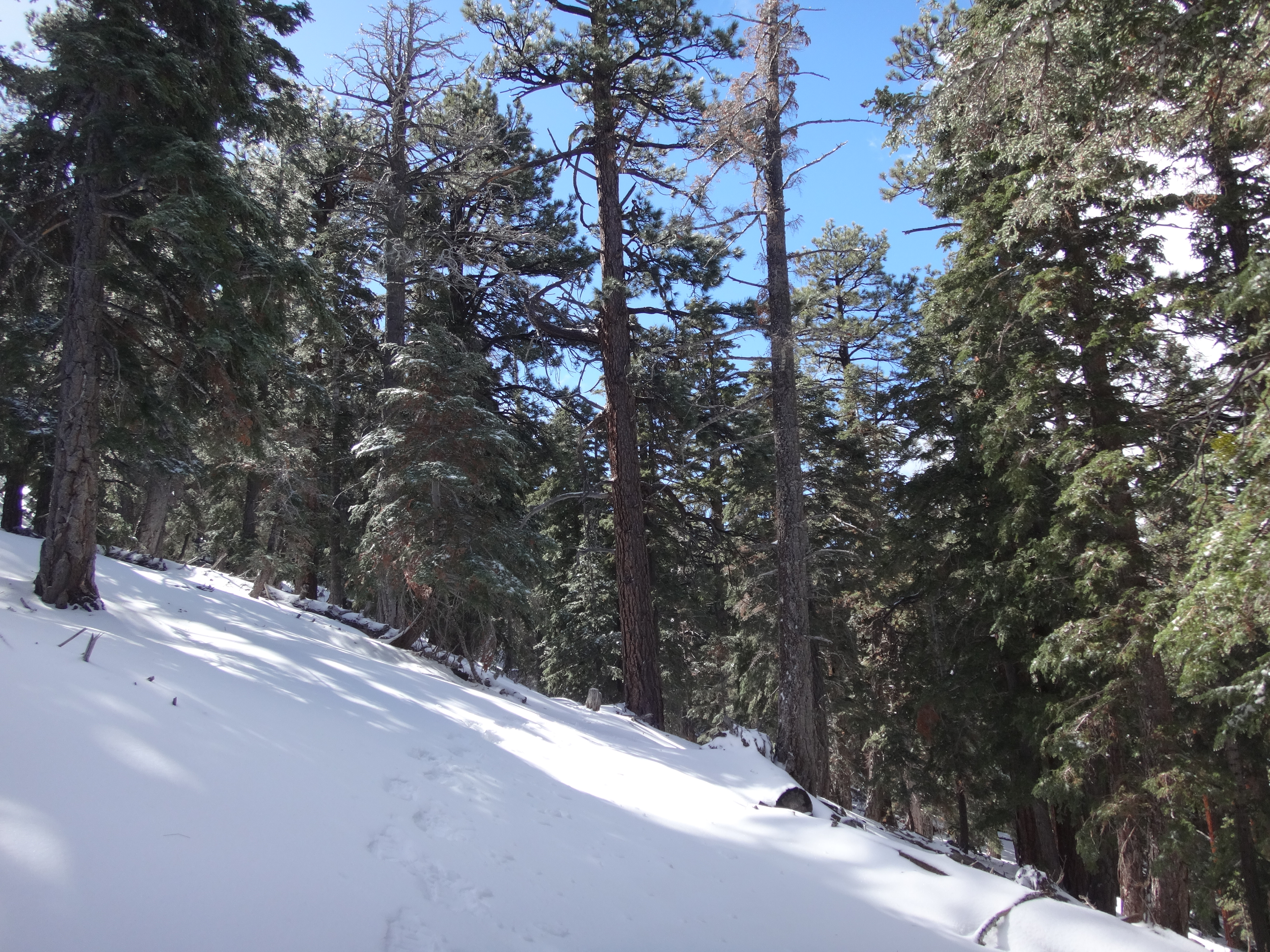
I ascended via the shadeless Pacifico Mountain fire road (3N17). Even with the umbrella, I felt the hot sunlight reflecting off the road and hitting my face. Within minutes sweat started beading around my head. After three miles, I reached the junction with Round Top Truck Road (3N90), and by now my shirt was soaking wet.

At the junction, I left the road and headed up the ridge for half a mile.

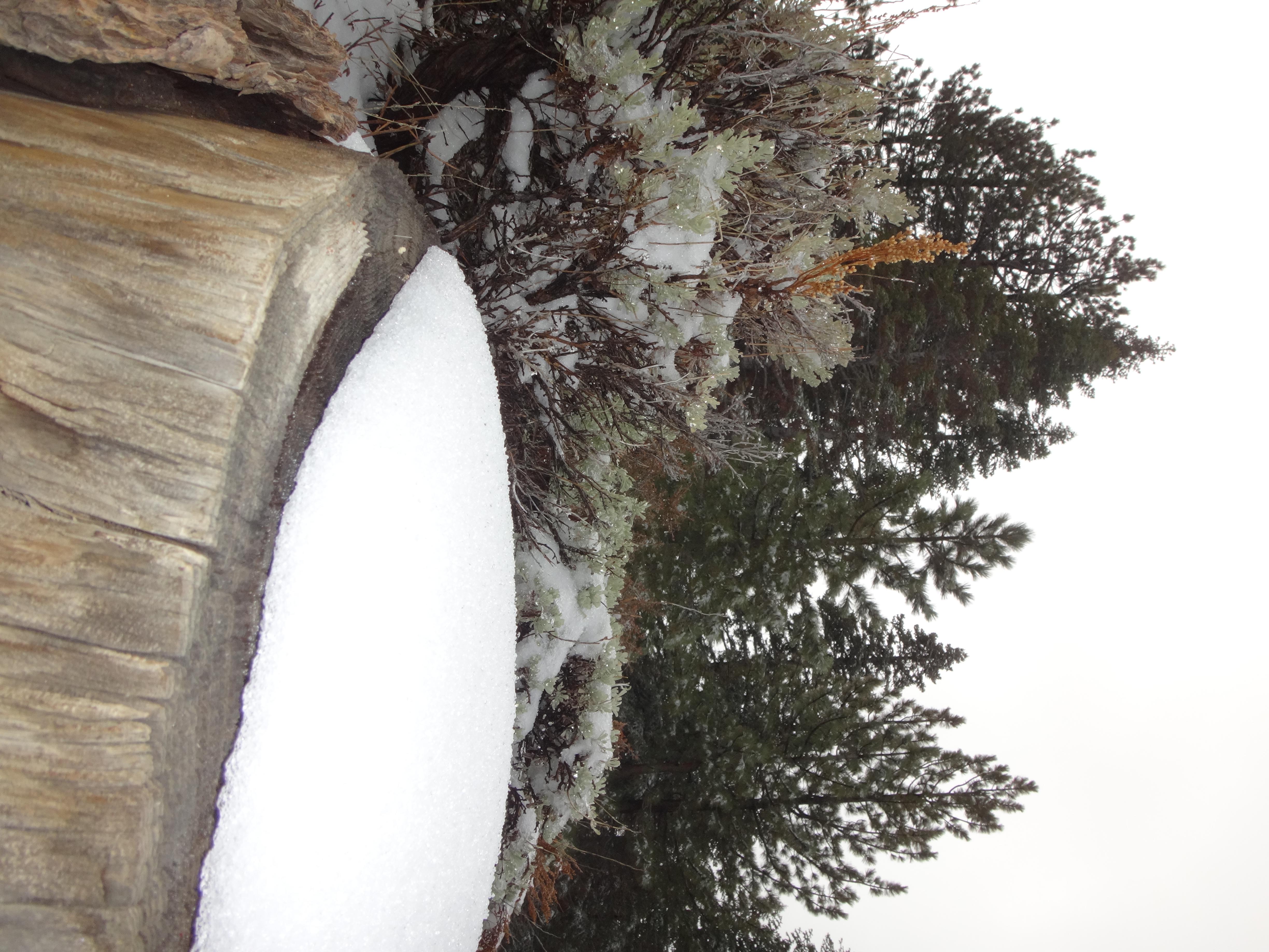
The poodle dog was in bloom.

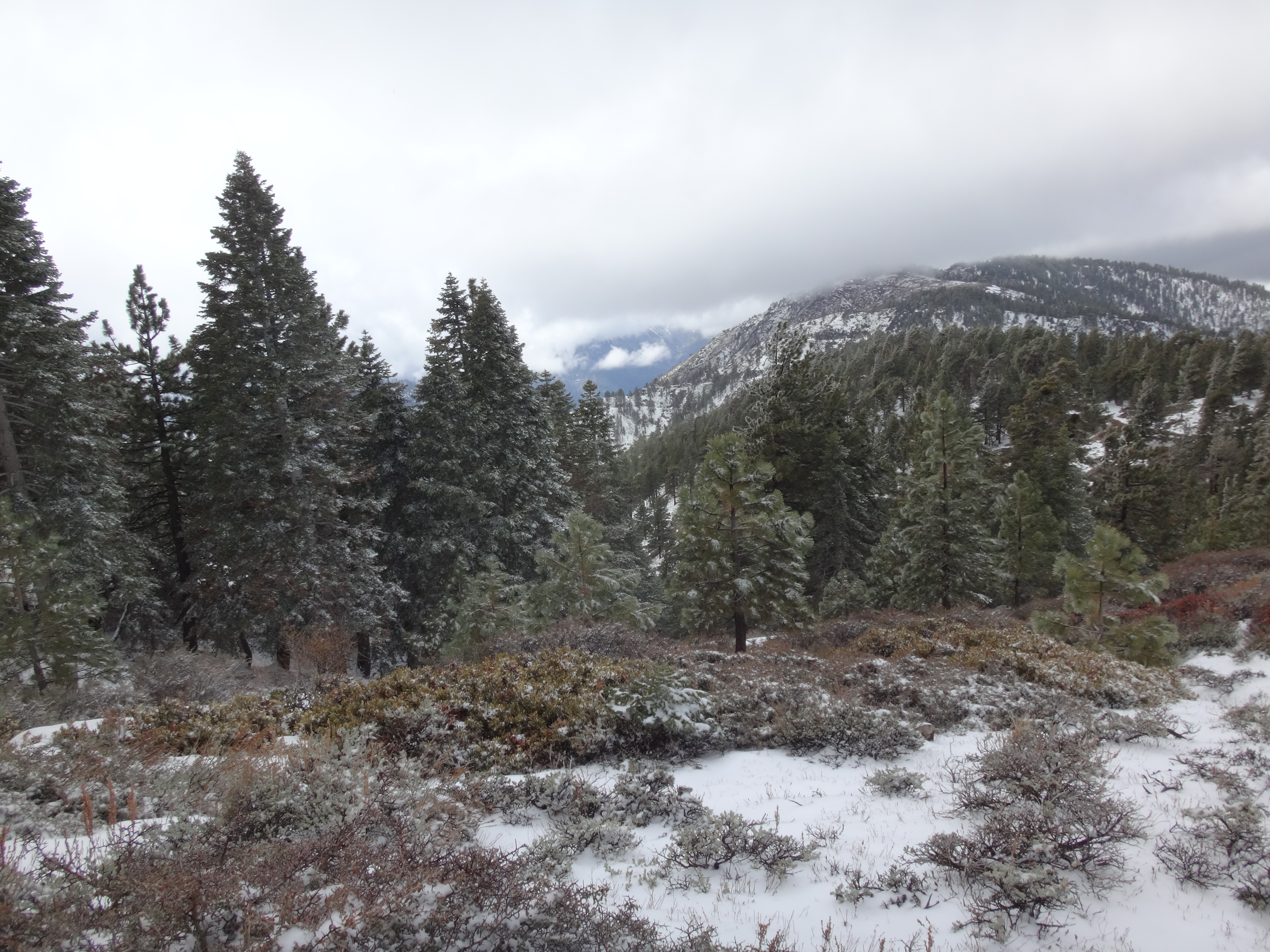
From the ridge one has a great view of the Santa Clara portion of the Divide.
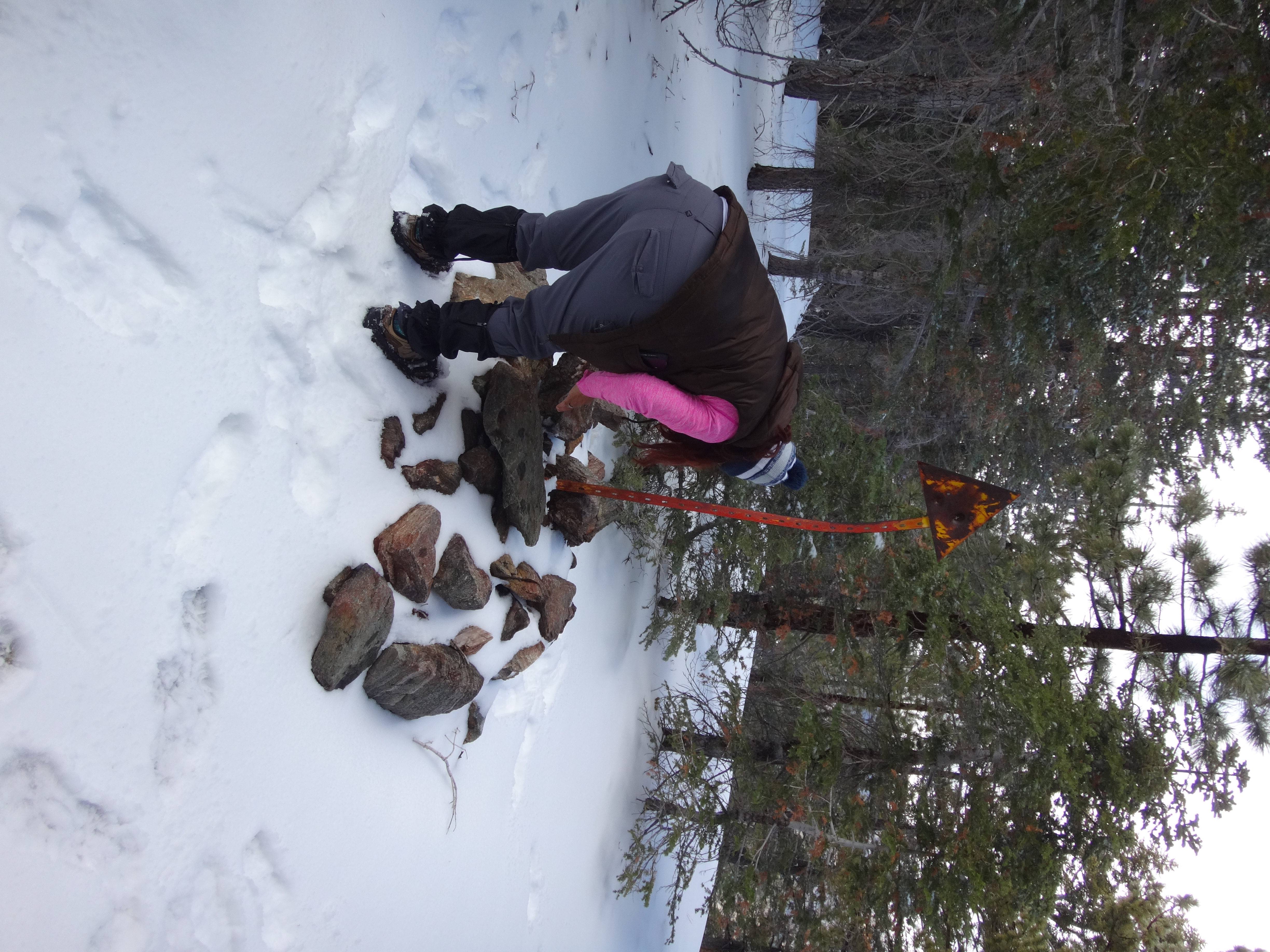
After climbing about 500' on the ridge, I reached Triple Divide. A broken metal post looked pathetic lying on the summit. I tried my best to set it upright.
I couldn't dig a very deep hole for the post, and not many rocks could be found nearby for support, so it will probably be blown down with the next big wind event.
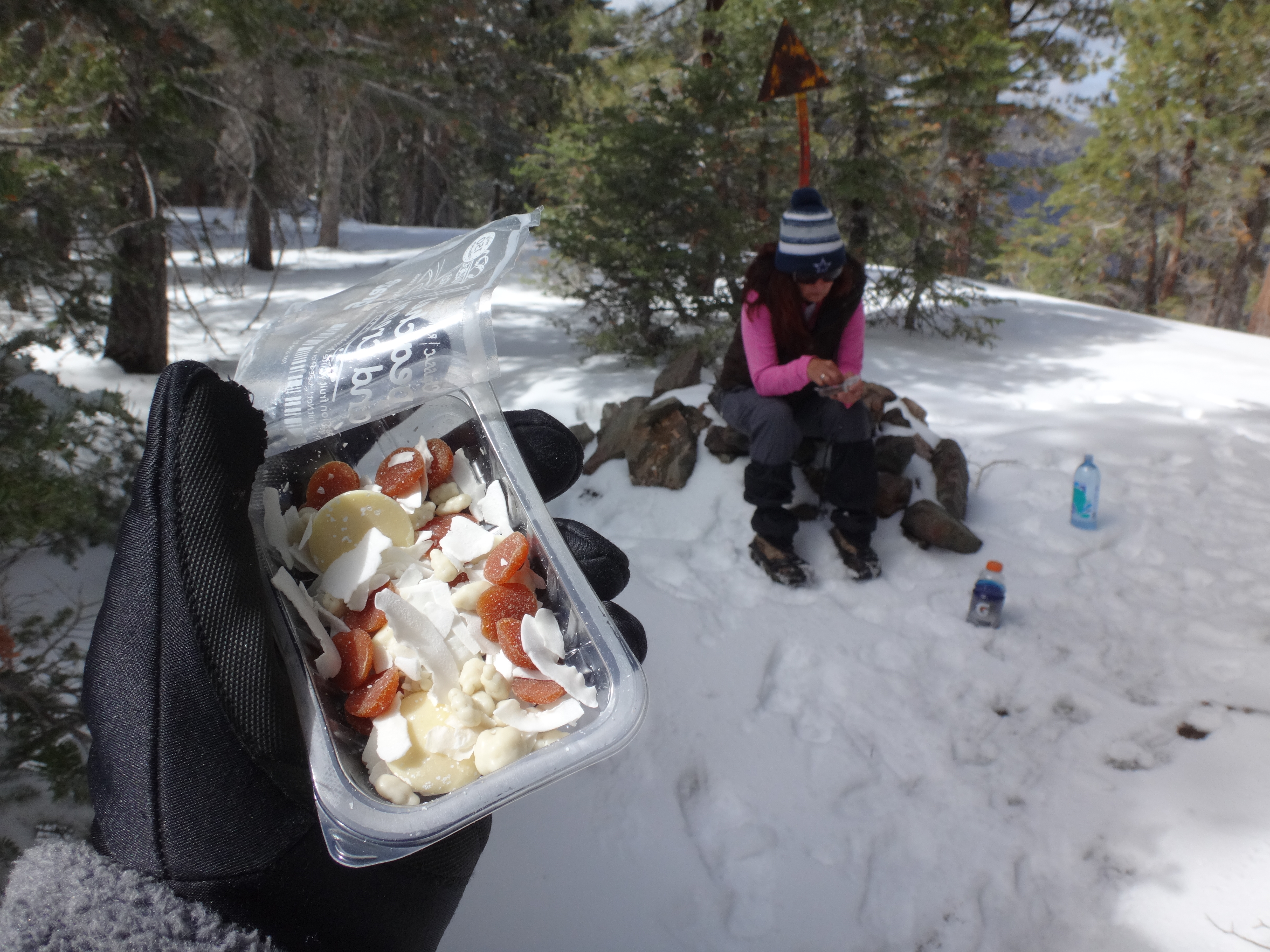
I ate some lunch and took fifteen minutes to check out some rocks on a higher bump a quarter-mile further up the ridge.
Some deer and I had a staredown.
Rather than backtracking on the fire road, I decided to go cross-country along the ridge north of Triple Divide and hook up with the Pacific Crest Trail.

Along this stretch the view into the Great Basin part of the Divide opened up.
The PCT then did a U-turn, crossing into the Santa Clara side of the Divide. And from this vantage I got a nice view of the ridge separating the Los Angeles and Santa Clara drainages. In the distance, Mill Creek Summit sits in the saddle of this ridge.
Apart from a section of overgrowth, including a bit of poodle dog, the PCT back to the car proved to be much more enjoyable than the fire road.
Miles: 8.1
Gain: 1800'
Temp: 85°F

