
Mt Gleason was one of my very first hikes, 25 July 2009, one month before the Station fire. At that time we were able to drive the road to a turnout just past Camp 16 and hike a few PCT miles to the summit area. We had a little picnic under some trees and lightly explored a little building by some water tanks.
On the way in, this time, we were talking and instead of transitioning onto the unpaved part of the road, we accidentally followed the paved road into Camp 16. Snapped a few pictures through the windshield.
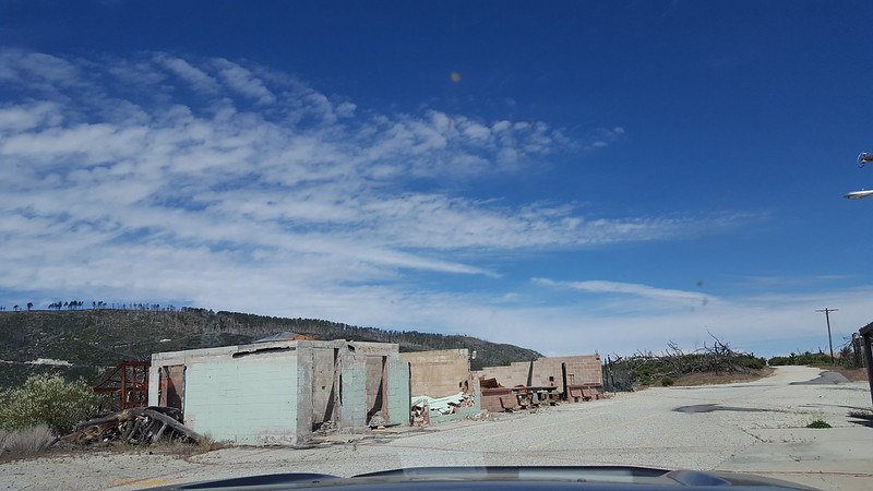
20170524_102729 by moore91024, on Flickr
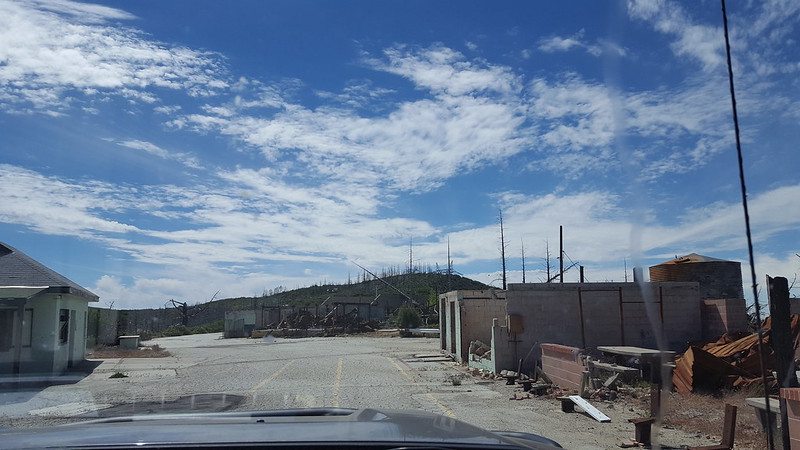
20170524_102854 by moore91024, on Flickr
According to my memory, the unpaved portion of the road is actually in better shape now than then. I was told it was used for staging equipment for the big transmission line project, so perhaps it got touched up. According to some info here the road might open again someday if the Sand fire closure ever ends (it was just renewed for another year).
Up on the summit, the weather was very comfortable. The depressing direction is east, where the fire burned the trees that we sat under in 2009 and the roof of the little building by the tanks.
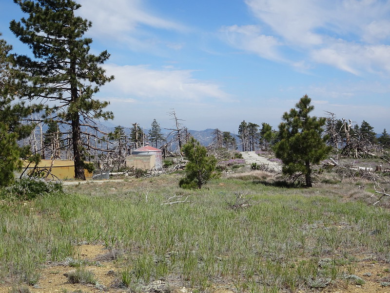
DSC00654 by moore91024, on Flickr
To the northwest, the trees did not burn, so that is nice.
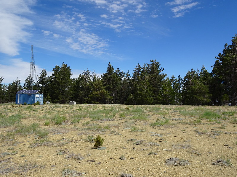
DSC00648 by moore91024, on Flickr
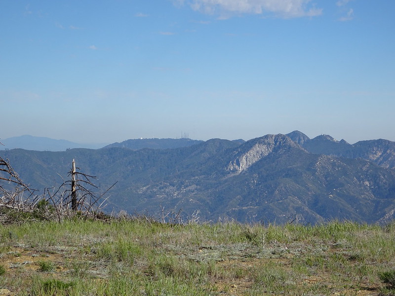
Mt Wilson and Disappointment look like this from back there.
DSC00656 by moore91024, on Flickr
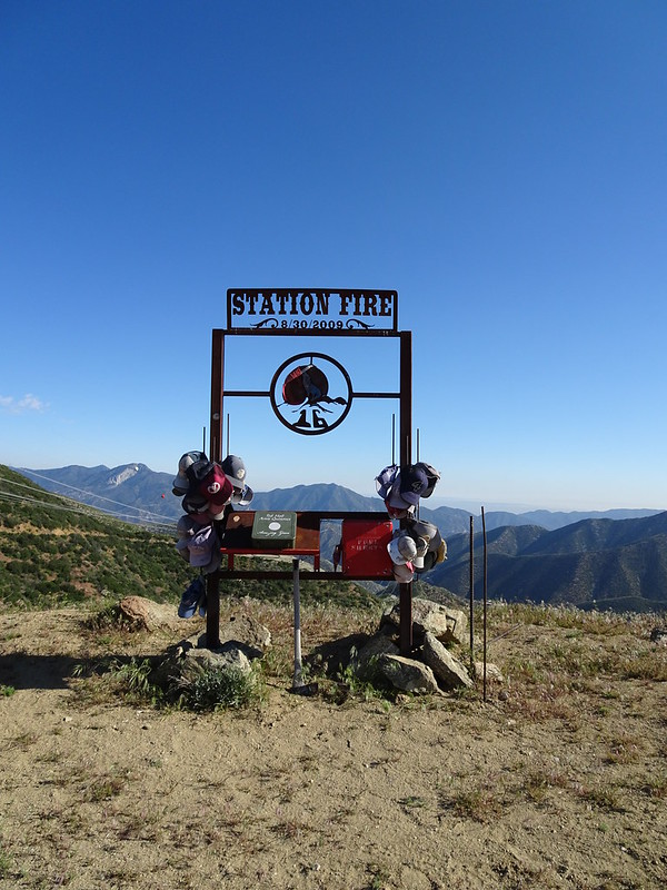
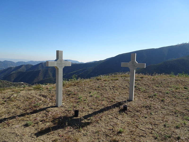
Hours later on the way out, we stopped by the Station fire memorials.
DSC00657 by moore91024, on Flickr
DSC00658 by moore91024, on Flickr
The green box contains 2 books for signing. I got the feeling they might be given to the families of the deceased firefighters. "Station fire sucks" didn't seem quite appropriate, so we simply added our signatures to each and left the rest unstated but implied.
