The primary goal was an unnamed 6000-foot highpoint at the top of Beartrap Canyon, henceforth referred to as Beartrap Peak. Secondary objectives included nearby benchmarks and also Fire Camp 16, which burned down in the Station Fire.
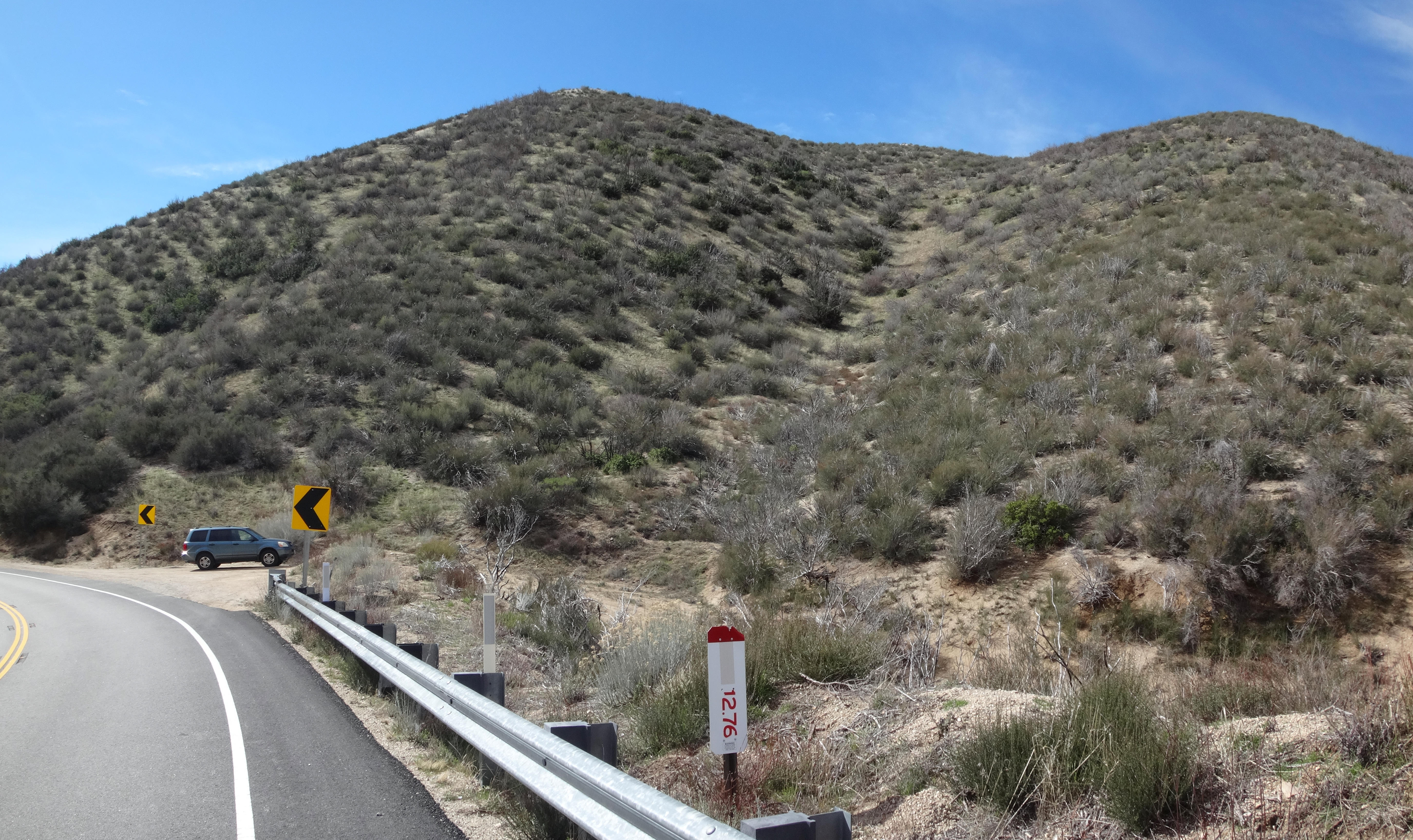
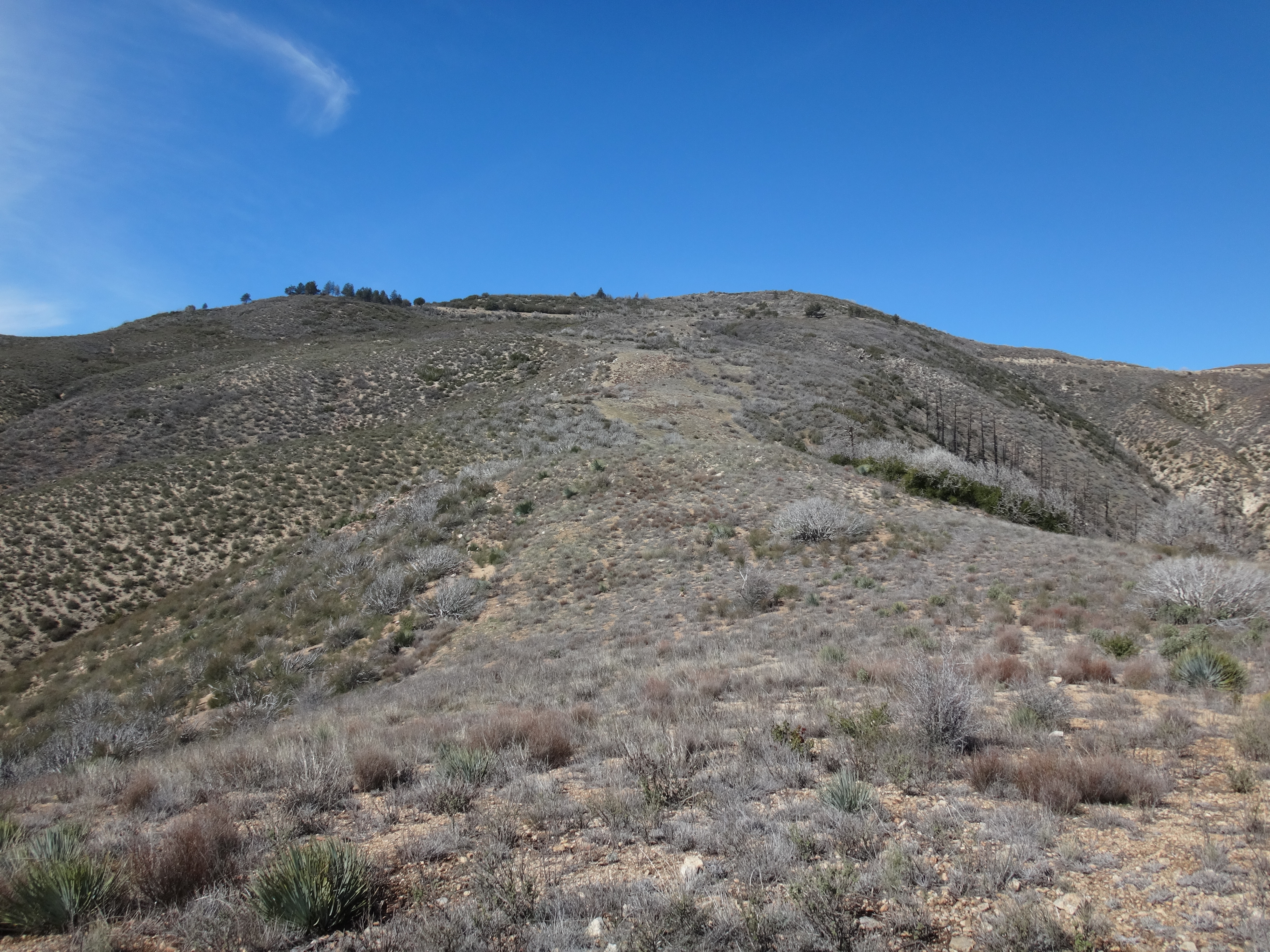
My body can only take so many miles these days. Therefore, to reduce the mileage, I ascended an old firebreak ridge from the Angeles Forest Highway MM 12.76, rather than endure the long Mt. Gleason Road from Mill Creek Summit.
While this option significantly reduced the number of necessary footsteps on pavement, it also radically increased the gain per mile. But I've found that firebreak steepness can be managed comfortably through careful foot placement--as well as the taking of many short rest periods.
There was a nice parking spot at the base of the ridge. I immediately scrambled up a shallow gully about 300' to the ridgetop.
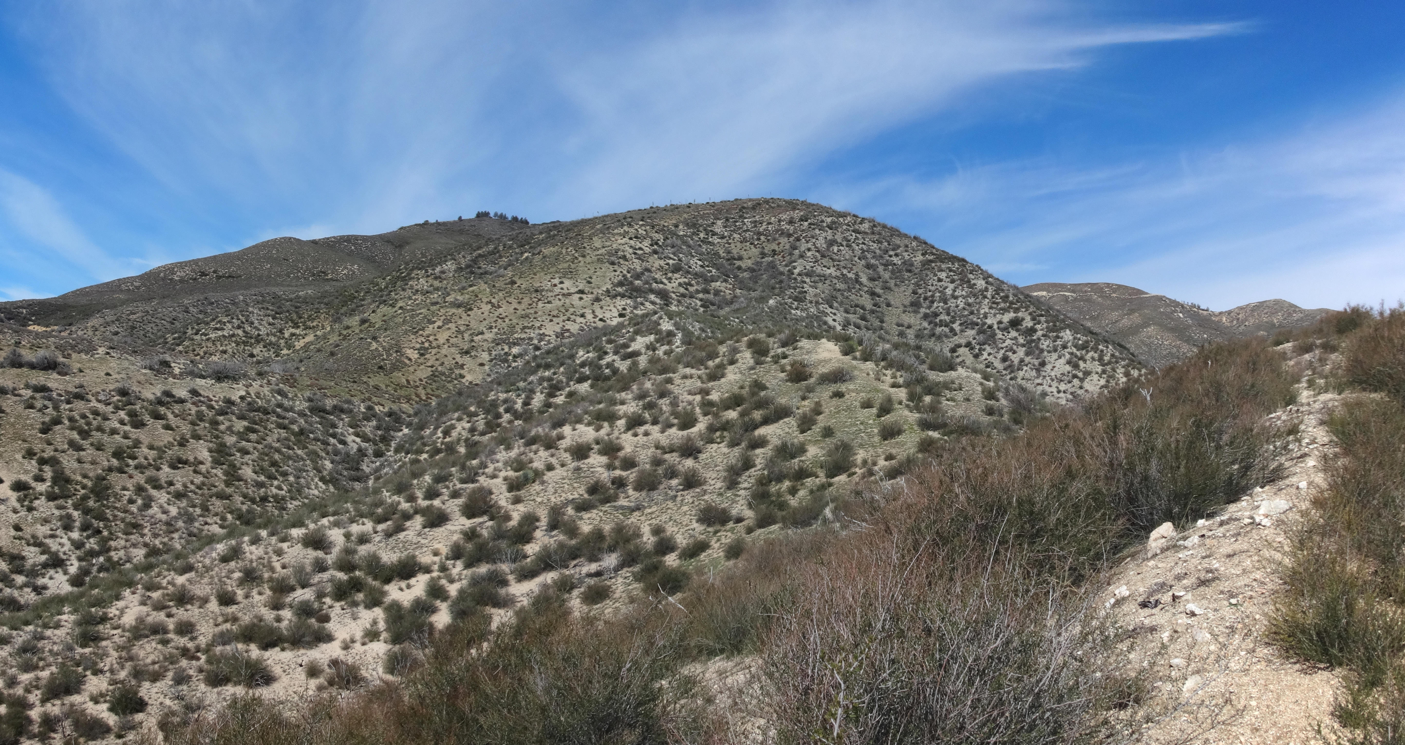
The first half-mile of this route gained 700 feet of elevation. That was definitely the steepest section of the ridge. Next came the mellowest stretch with about a 300' gain over the second half-mile.
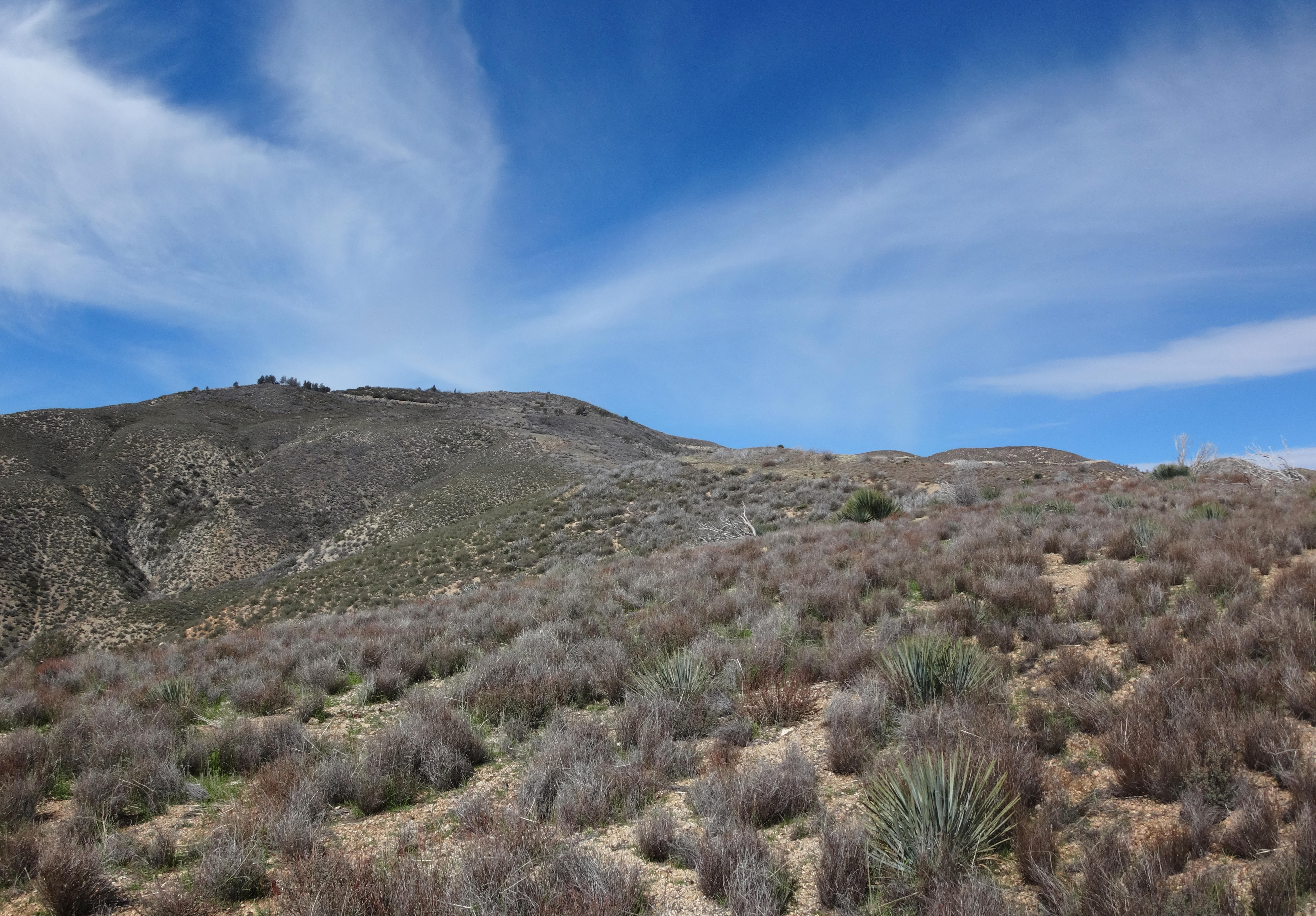
And the final 0.4 miles to the Gleason Road gained 500 feet. This wide bit was clearly the old firebreak, and near the top it sort of had a use trail. But until then I had been following a deer track for optimal footing.
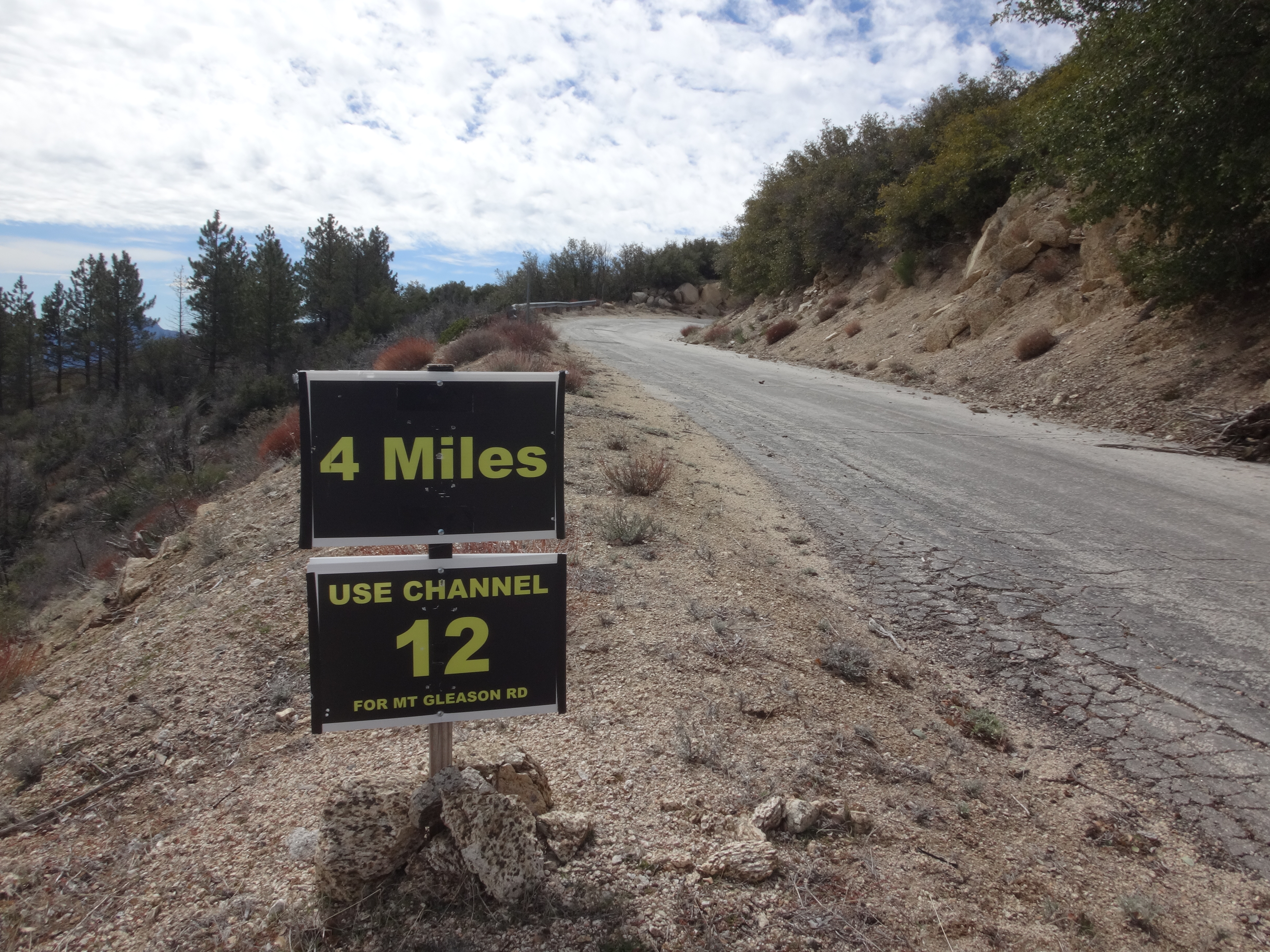
The ridge spat me out near a "4 miles" sign on the road. Which, I guess, meant that my shortcut had shaved off 2.5 miles one-way, and five miles roundtrip. Right on!
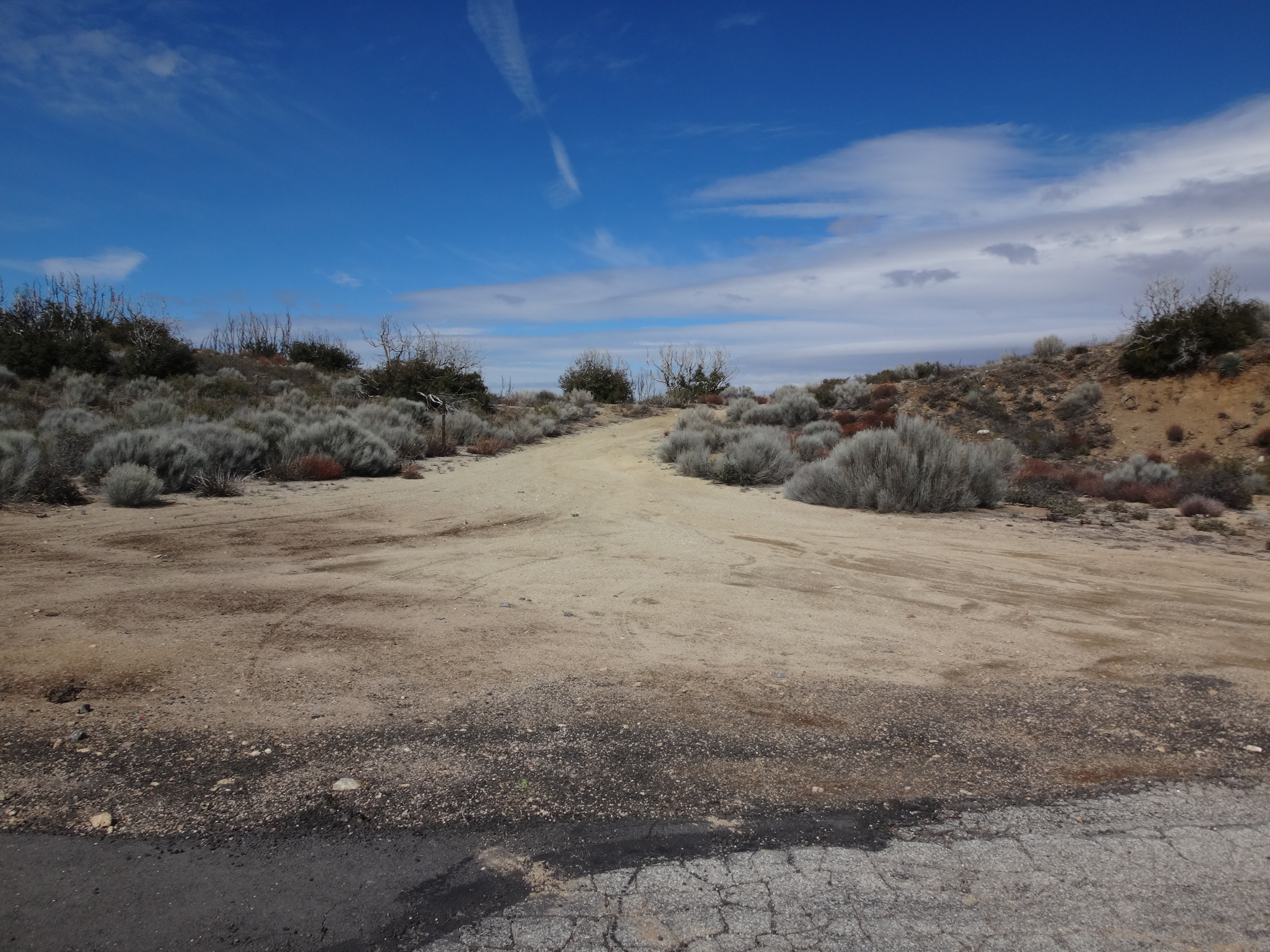
Feeling good, I decided to take the road rather than continue up-ridge, which looked a tad overgrown but doable. About 1.3 miles up the Gleason Road, an ungated, dirt service road branched off on the right.
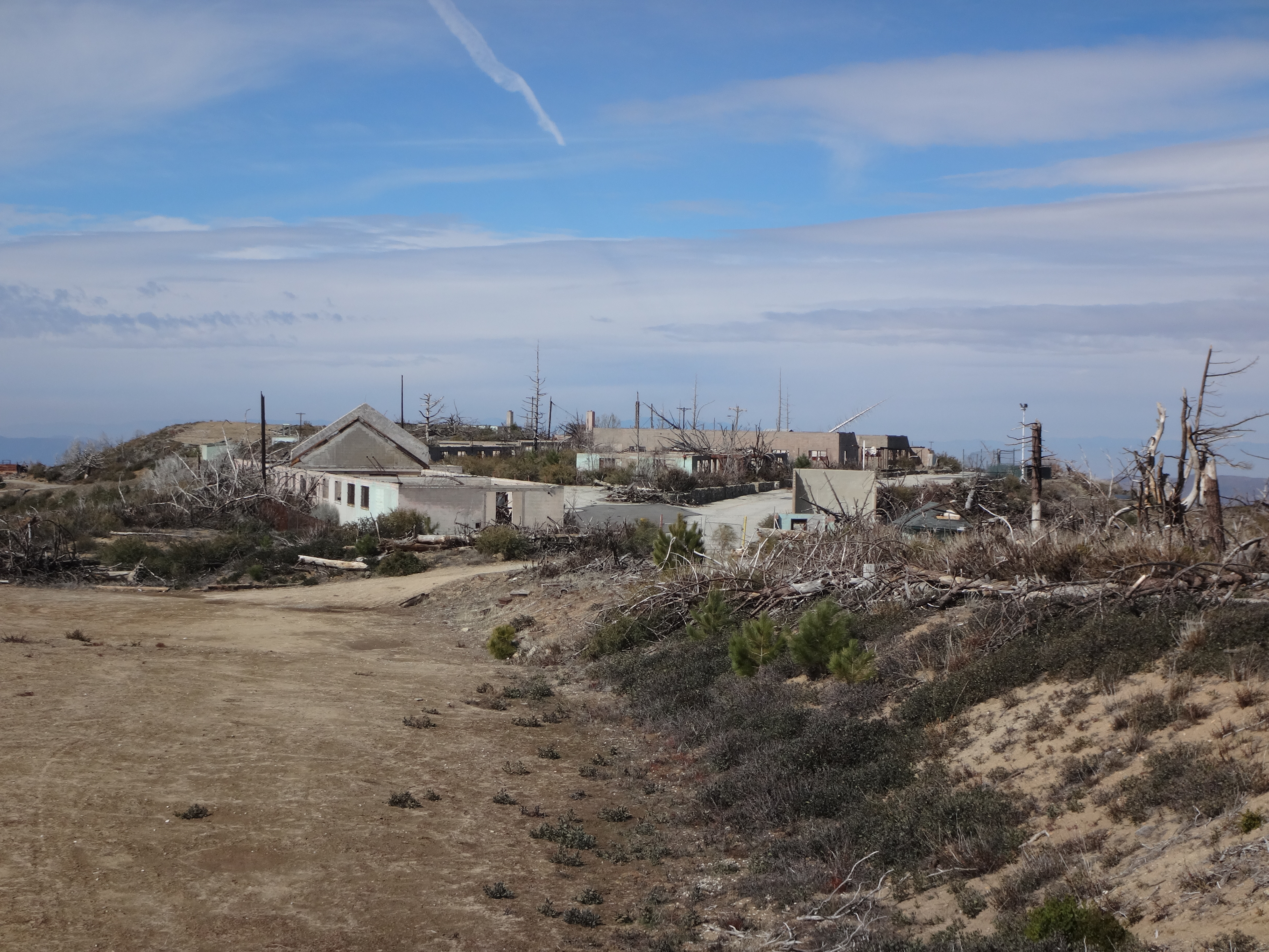
I knew that this was the easy path up to Beartrap Peak. The dirt road is used to service a small tower on the summit. But before checking that out, I wanted to first visit Fire Camp 16, another mile up the paved Gleason Road.

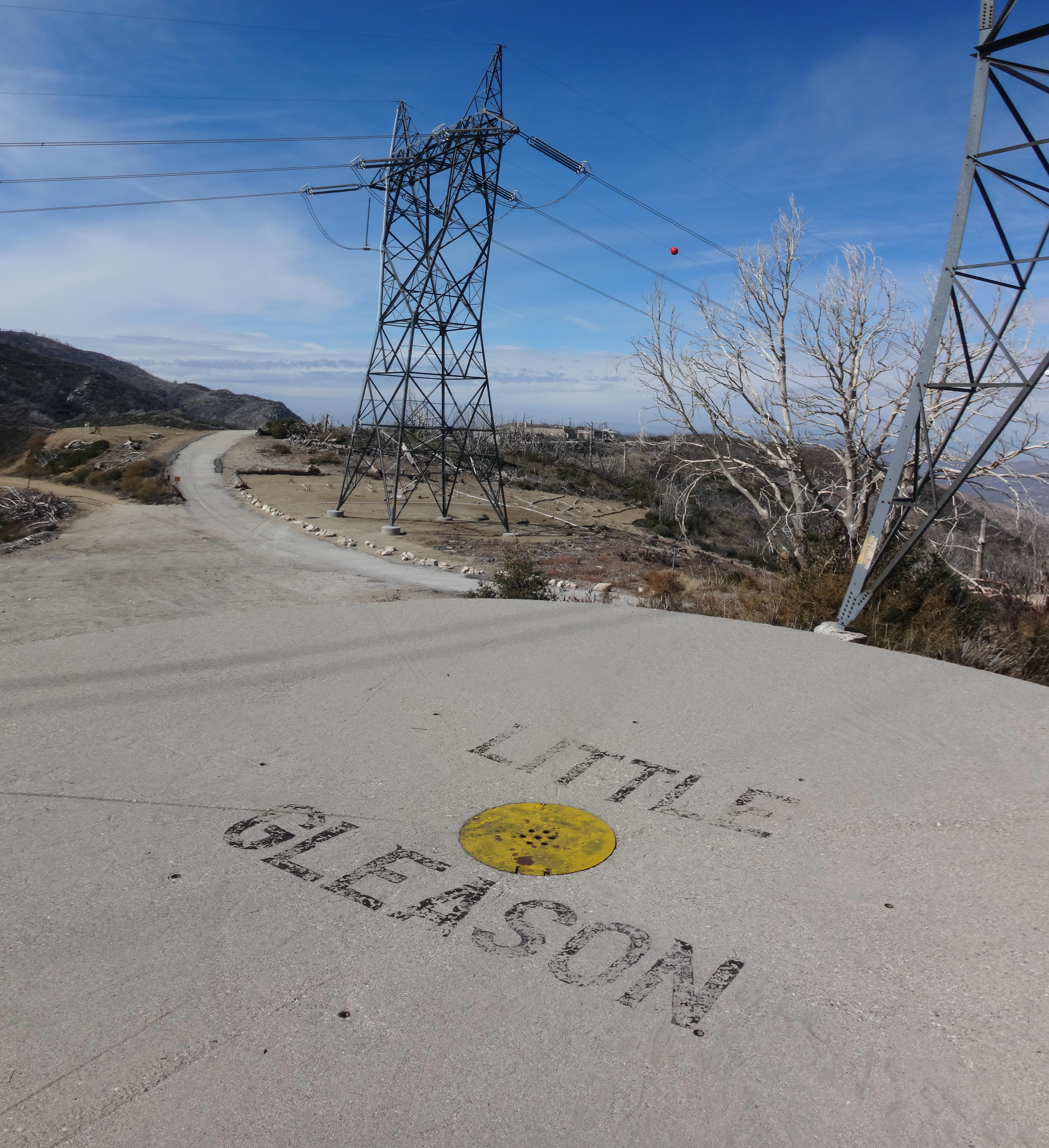
Across from the old camp, at the junction with the Fall Creek Road (3N27), I noticed the Little Gleason water tank.
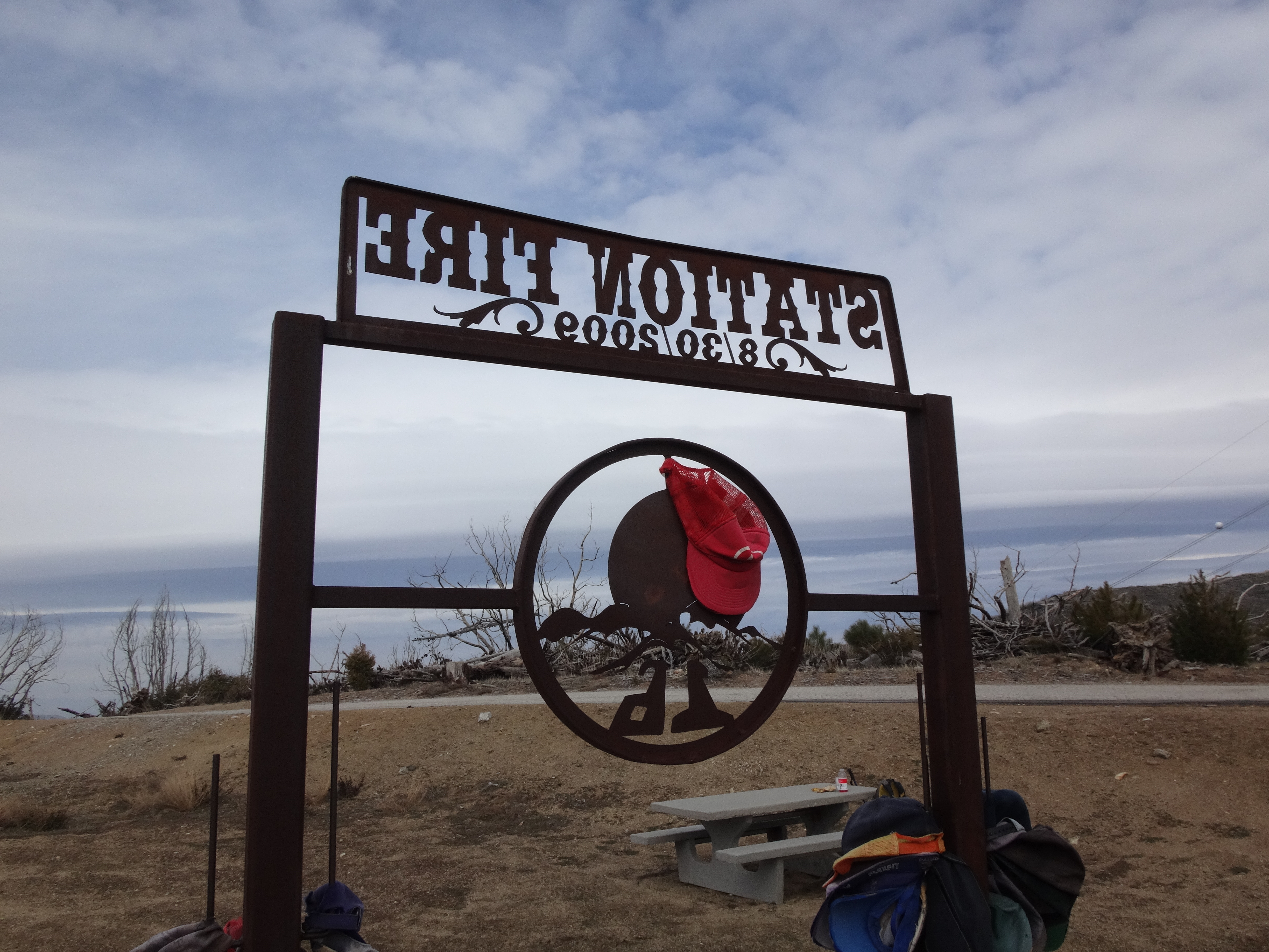
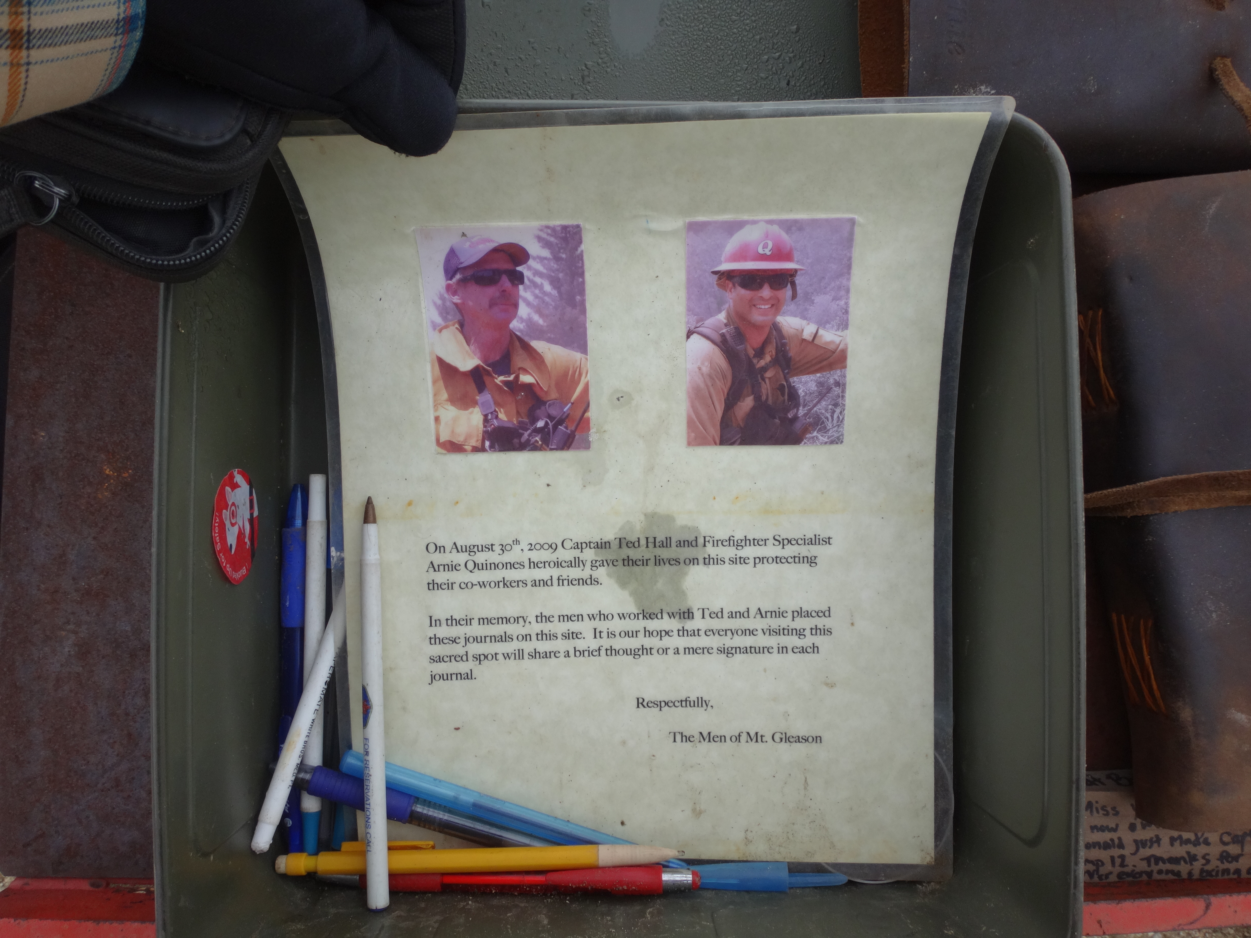
Also at the junction was a memorial for the two firefighters who died tragically while trying to defend Camp 16 from the Station Fire in 2009.
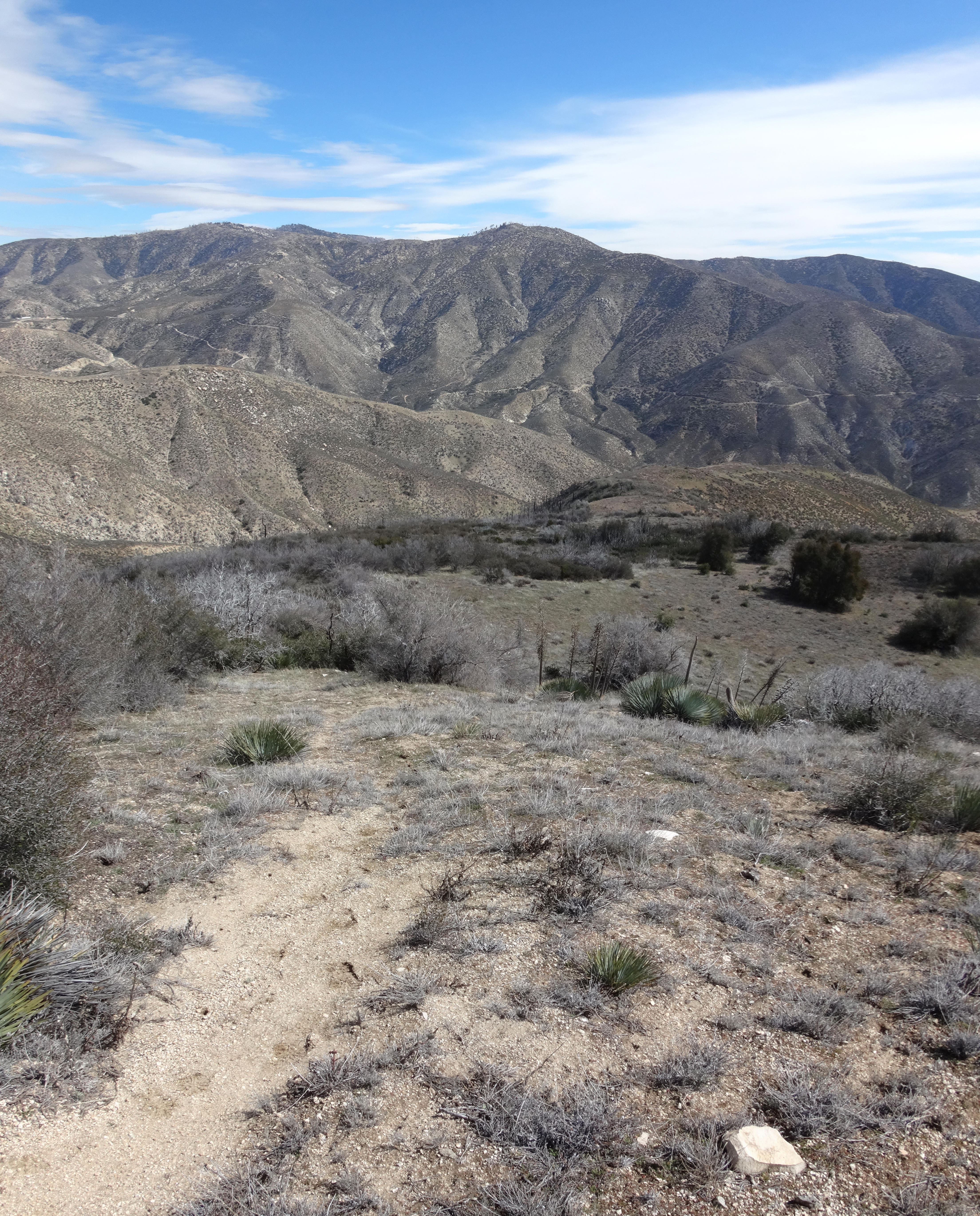
I ate lunch at the picnic table and enjoyed a view of nearby Mt. Gleason, which looked immense. Then I explored the ruins of the camp and former NIKE missile site.
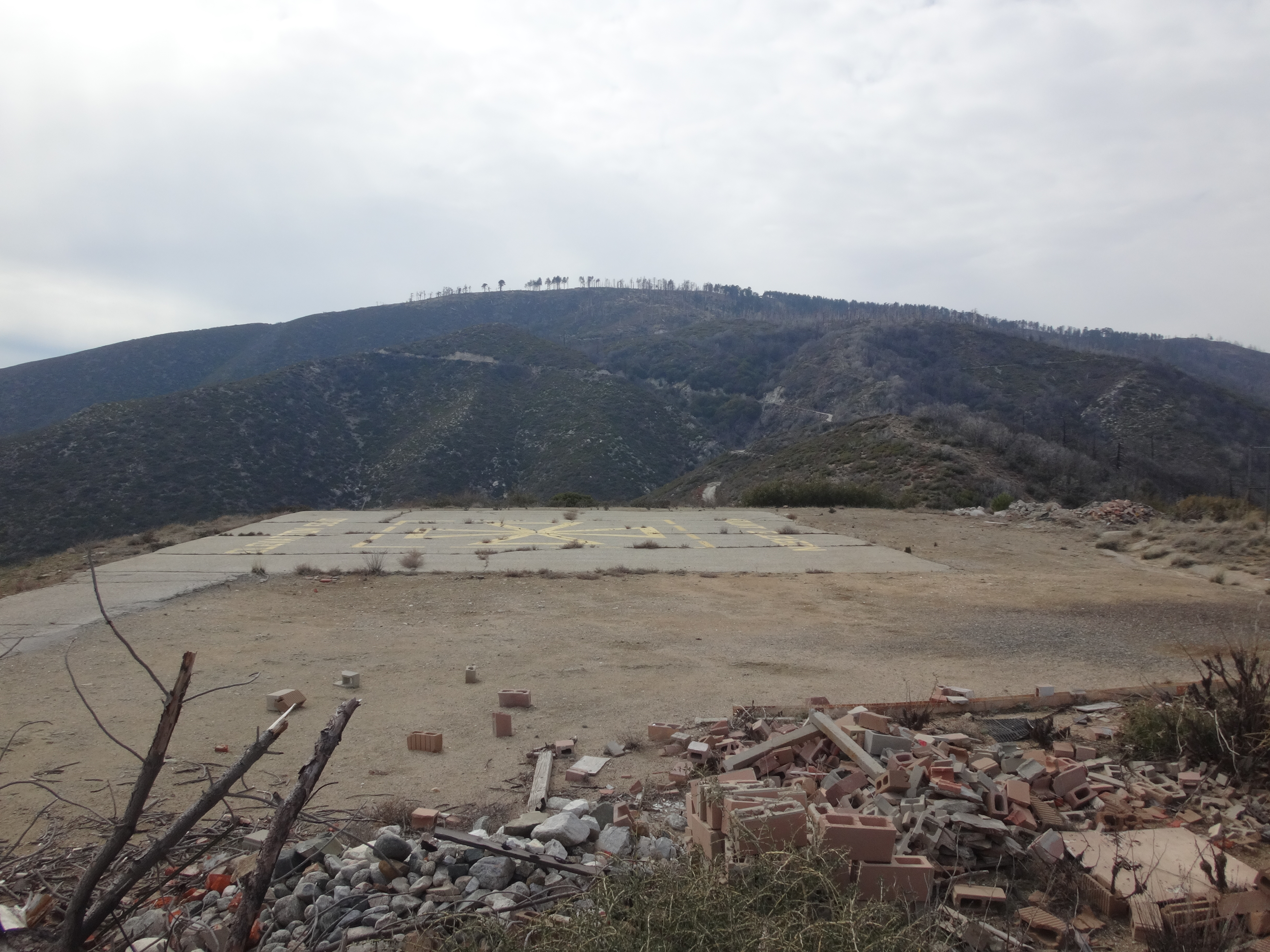
As I walked around the site, the wind picked up and dark clouds rolled in. It felt like the temperature had dropped about ten degrees to near freezing in the hour or so I spent at the fire camp. I put on gloves and a long-sleeve flannel shirt to stay warm.
I waved to a passing mountain biker, the only other soul in the area. He waved back.
After spending too much time searching for the Shack benchmark, I finally gave up. The map showed it situated right beside the road junction here, but I figured it must be gone now.
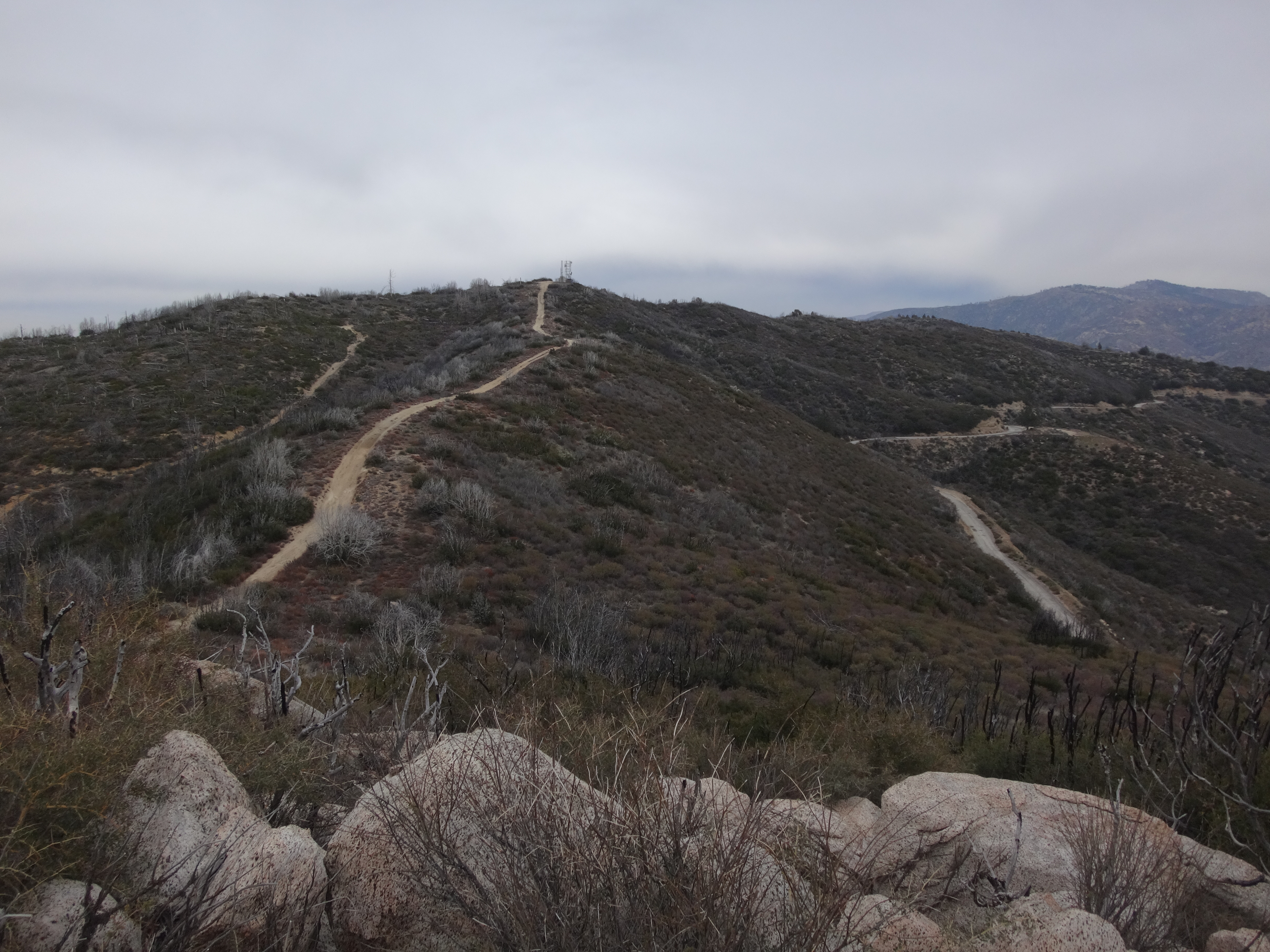
With chilled hands I scooted back up the Gleason Road, determined to bag Beartrap Peak before some kind of precipitation interrupted this adventure. I soon turned onto the previously mentioned service road and followed it up the ridge which paralleled the Gleason Road on the right.
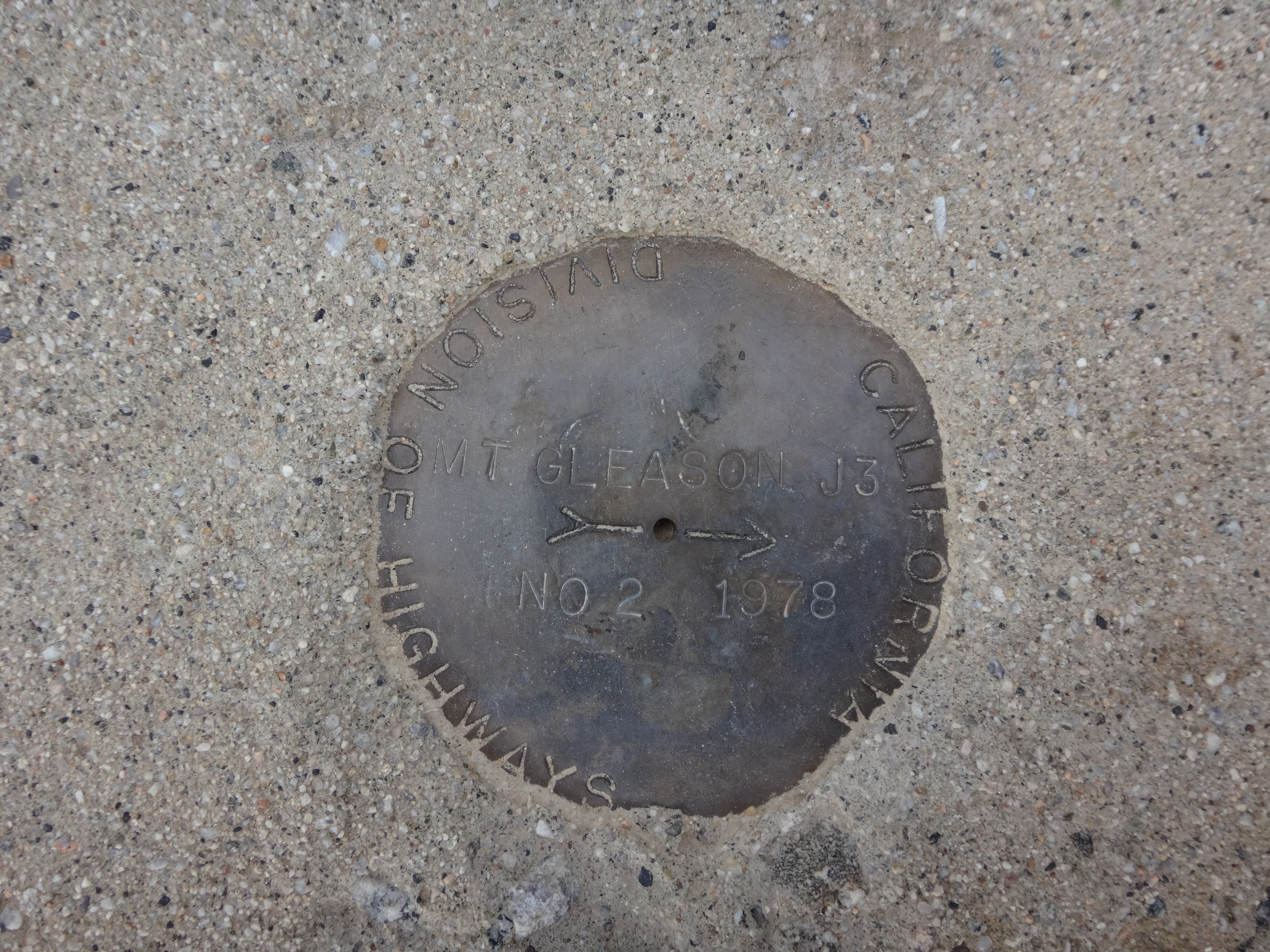
Another benchmark, this one labelled next to the service road, also went undiscovered. Now I was 0 for 2 on marks.
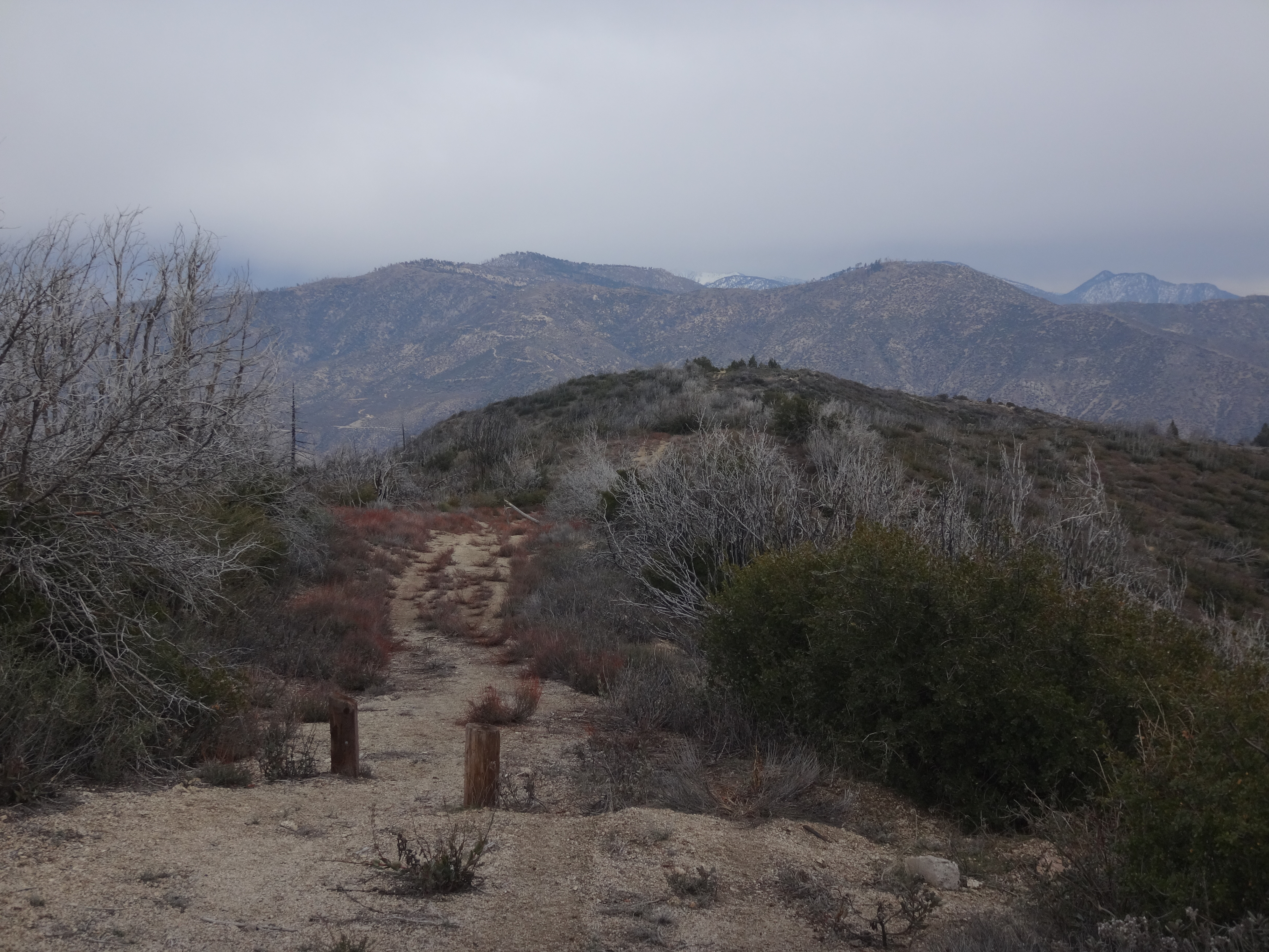
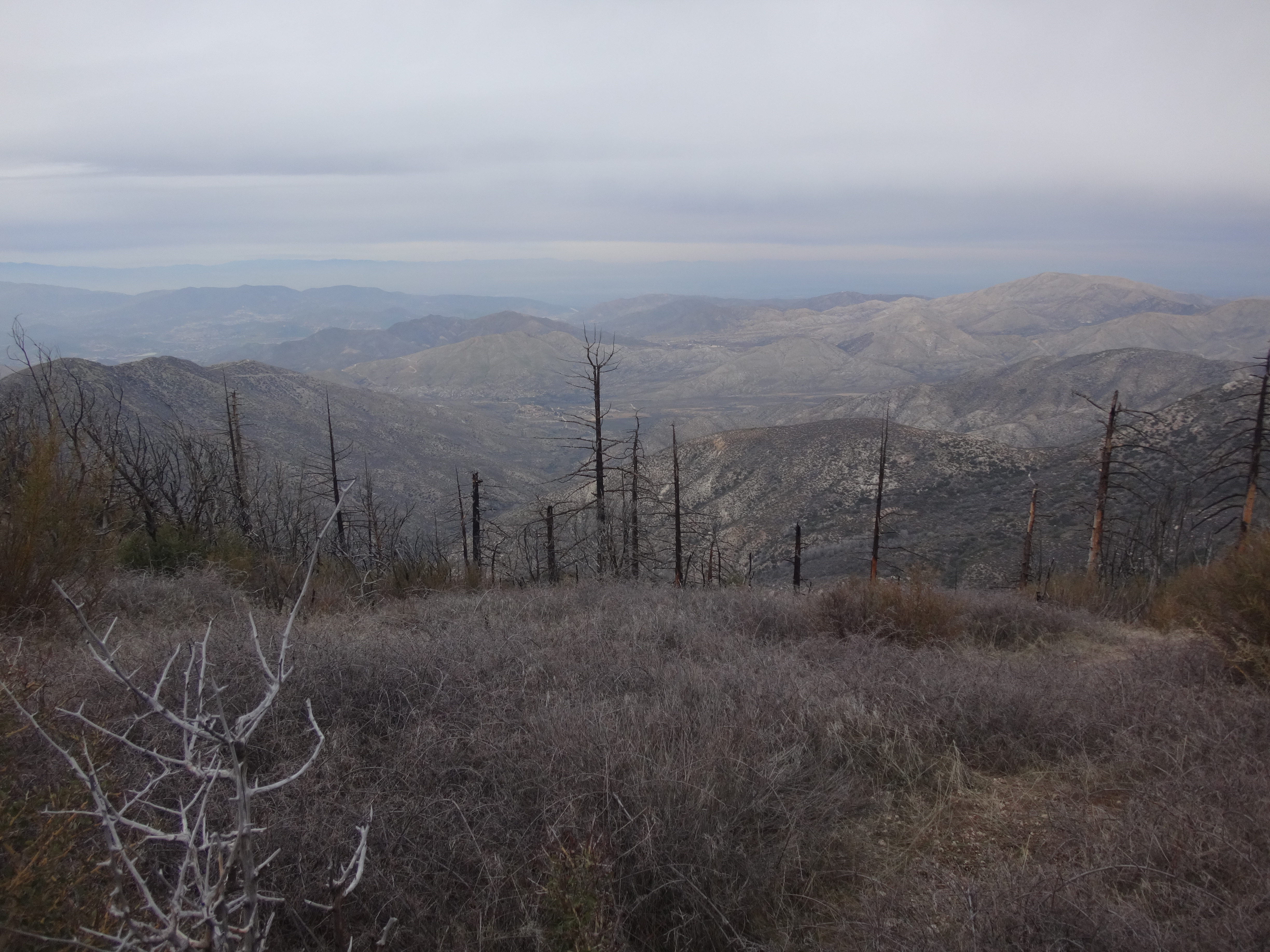
Thankfully, mountains rarely go missing, and so I had great confidence that I would find my primary objective. Beartrap Peak welcomes visitors at an elevation of 6000+ feet, and as a destination it has several points in its favor. The 360-degree view merits a look-see, with many distant peaks visible.
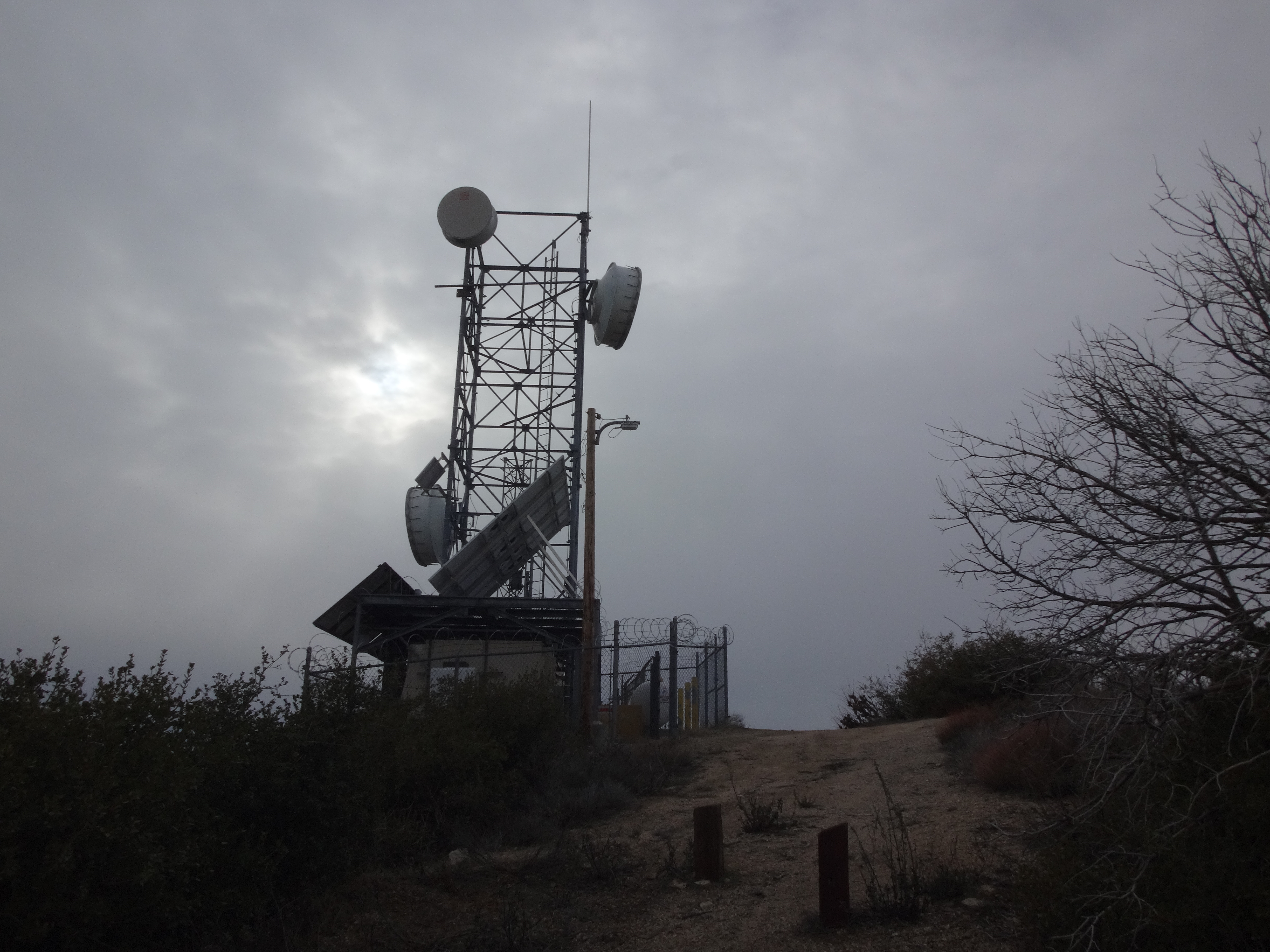
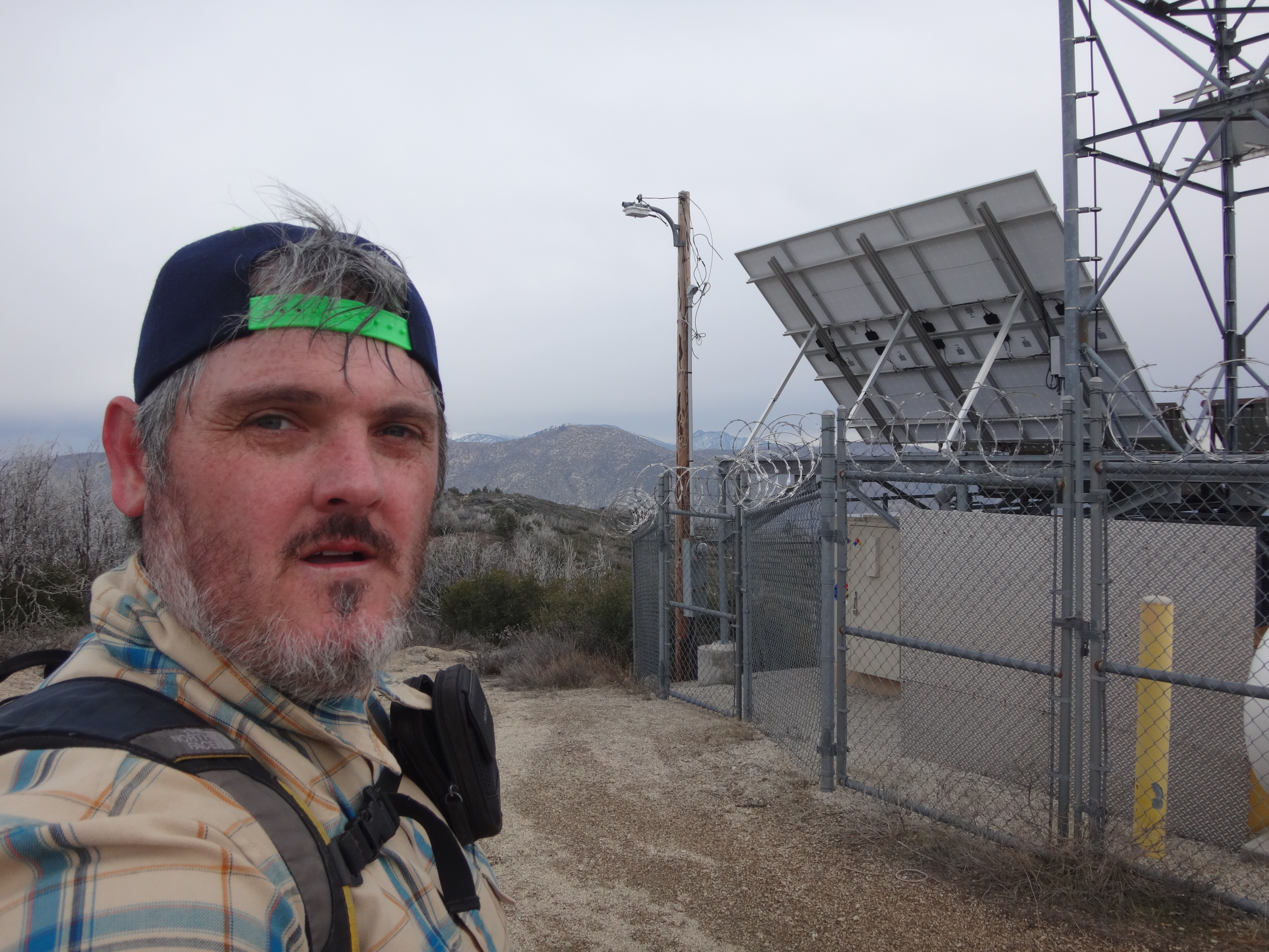
There is a small tower on top, for people who find that sort of thing thrilling.
To the north Beartrap Canyon plummets down into greater Aliso Canyon, home of some big ranches.
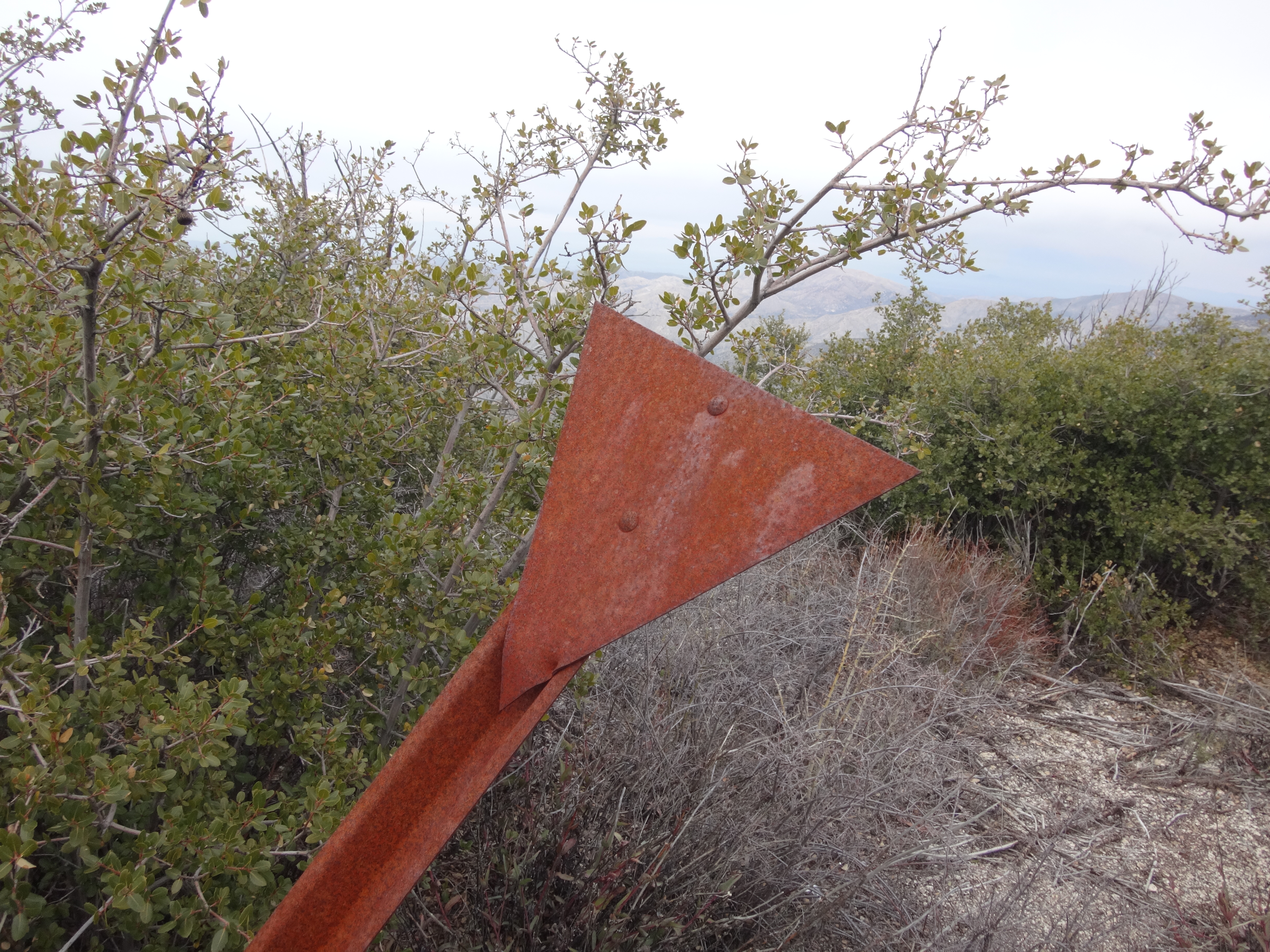
And real oddballs might want to visit just to see the triangular post.
After spending all of two minutes on the ice-cold summit, this particular oddball
hurried his ass to the next benchmark location, which he'll leave as a minor mystery, since here he actually found something and would like to see it remain undisturbed by noobs.