

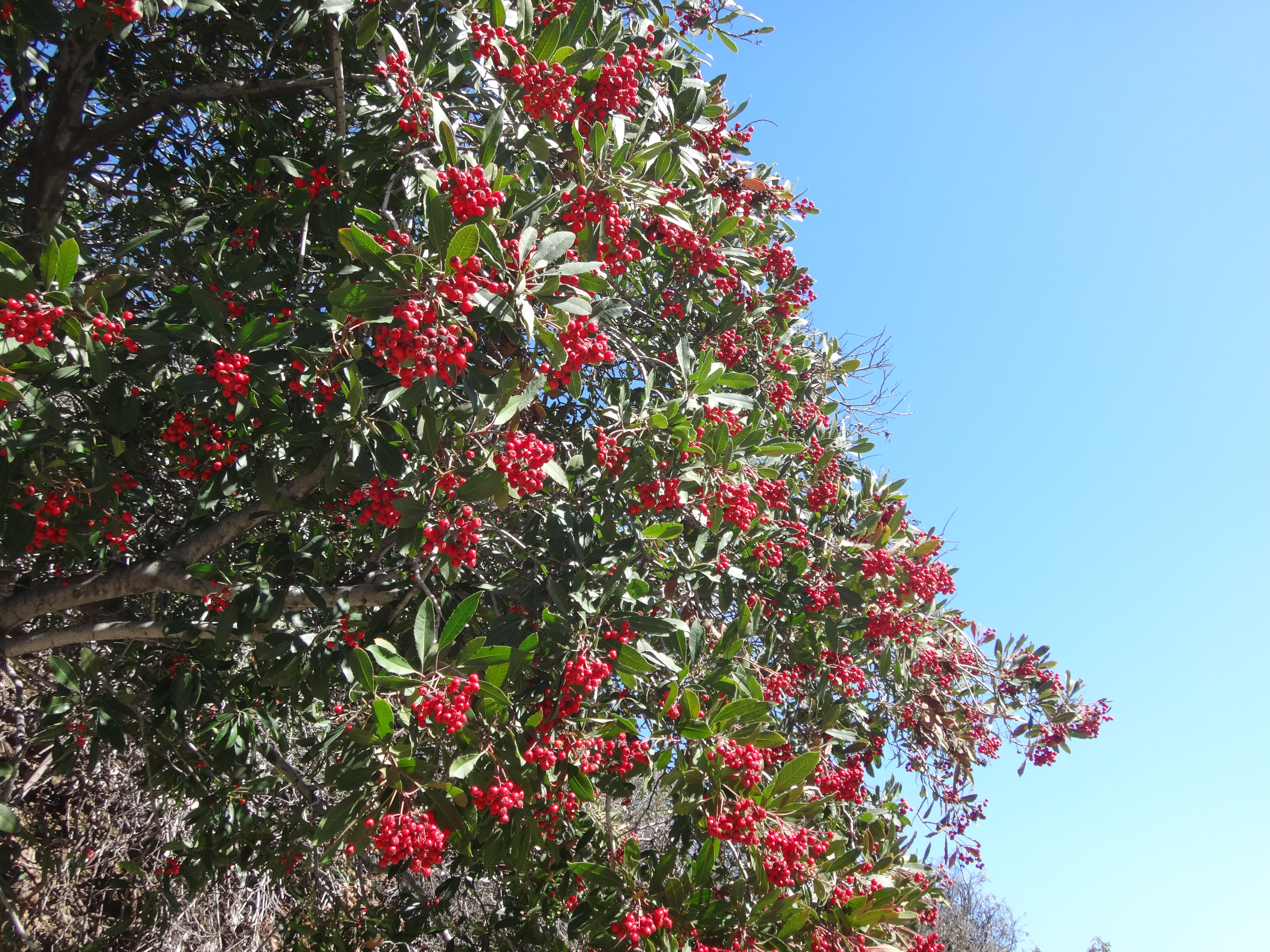
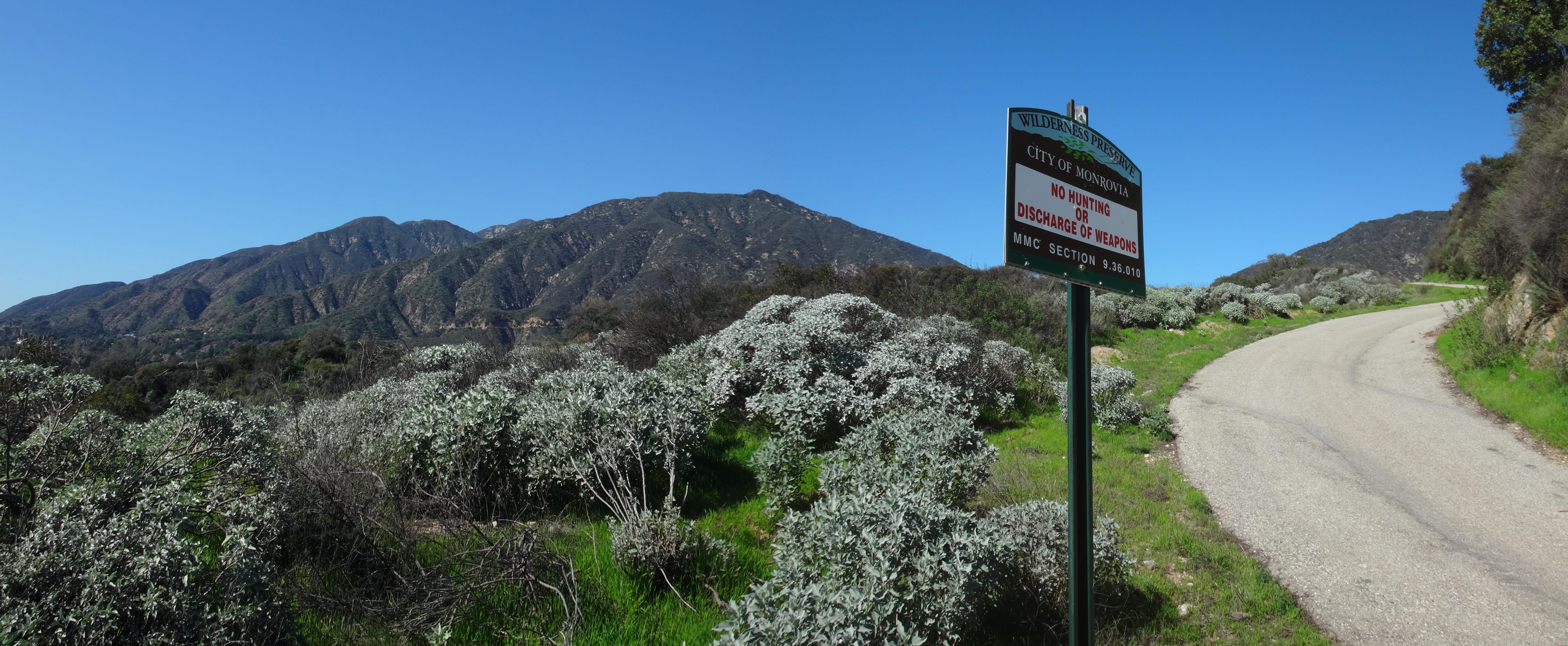
Beyond the gate a paved route climbed up to a large city water tank. Alongside the road some red berries were in season.
I had come here to search for the "Monrovia" benchmark, which I did before checking out the water tank. But that effort ended in failure. The BM site is now private property, and access is partly hindered by a fence. Perhaps I scrambled around the barrier. And perhaps I then encountered a mild-mannered property owner, who perhaps convinced me that the benchmark was probably bulldozed by firefighters a few years ago.
So, so much for that. Back to the Preserve.
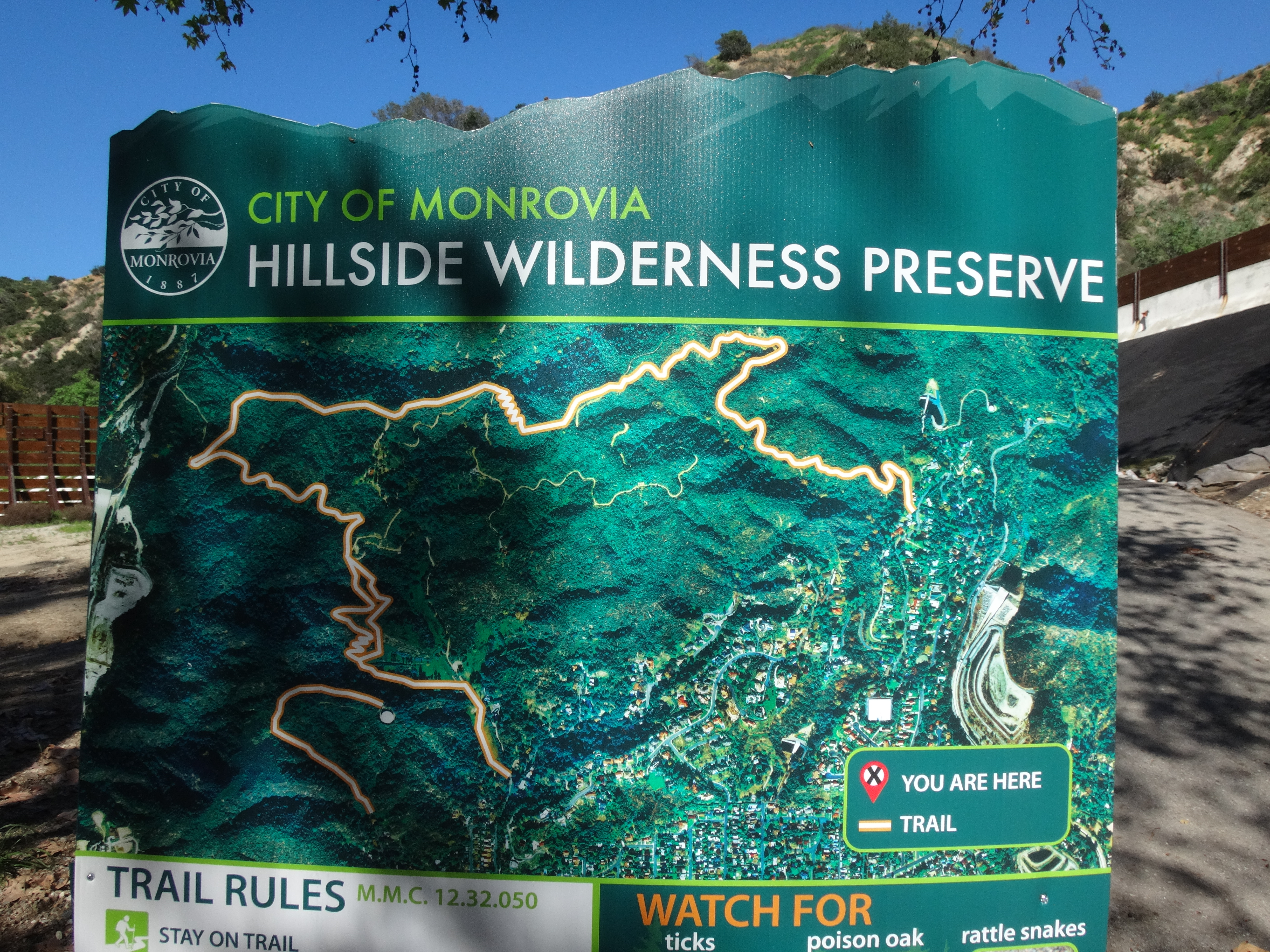
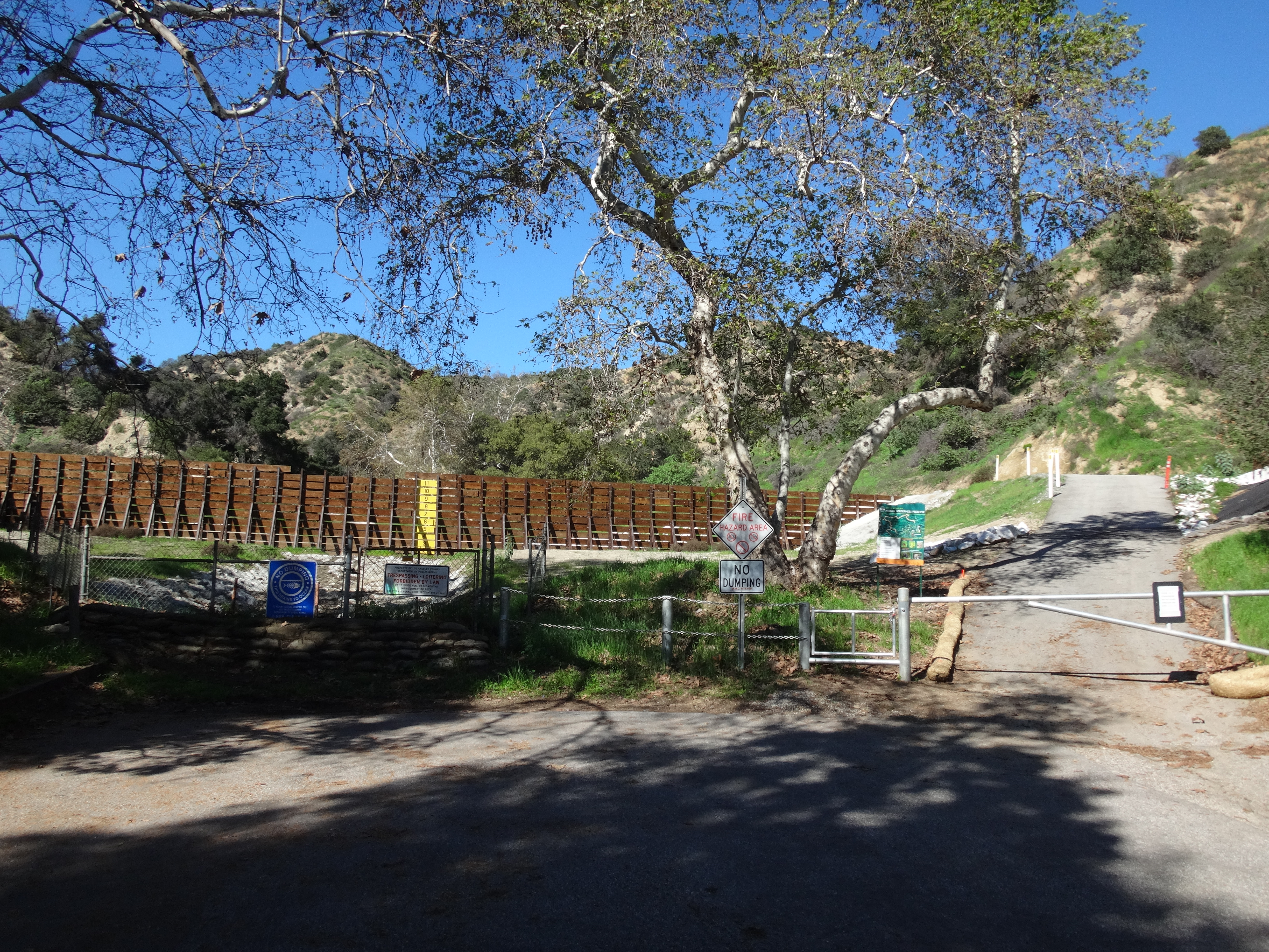
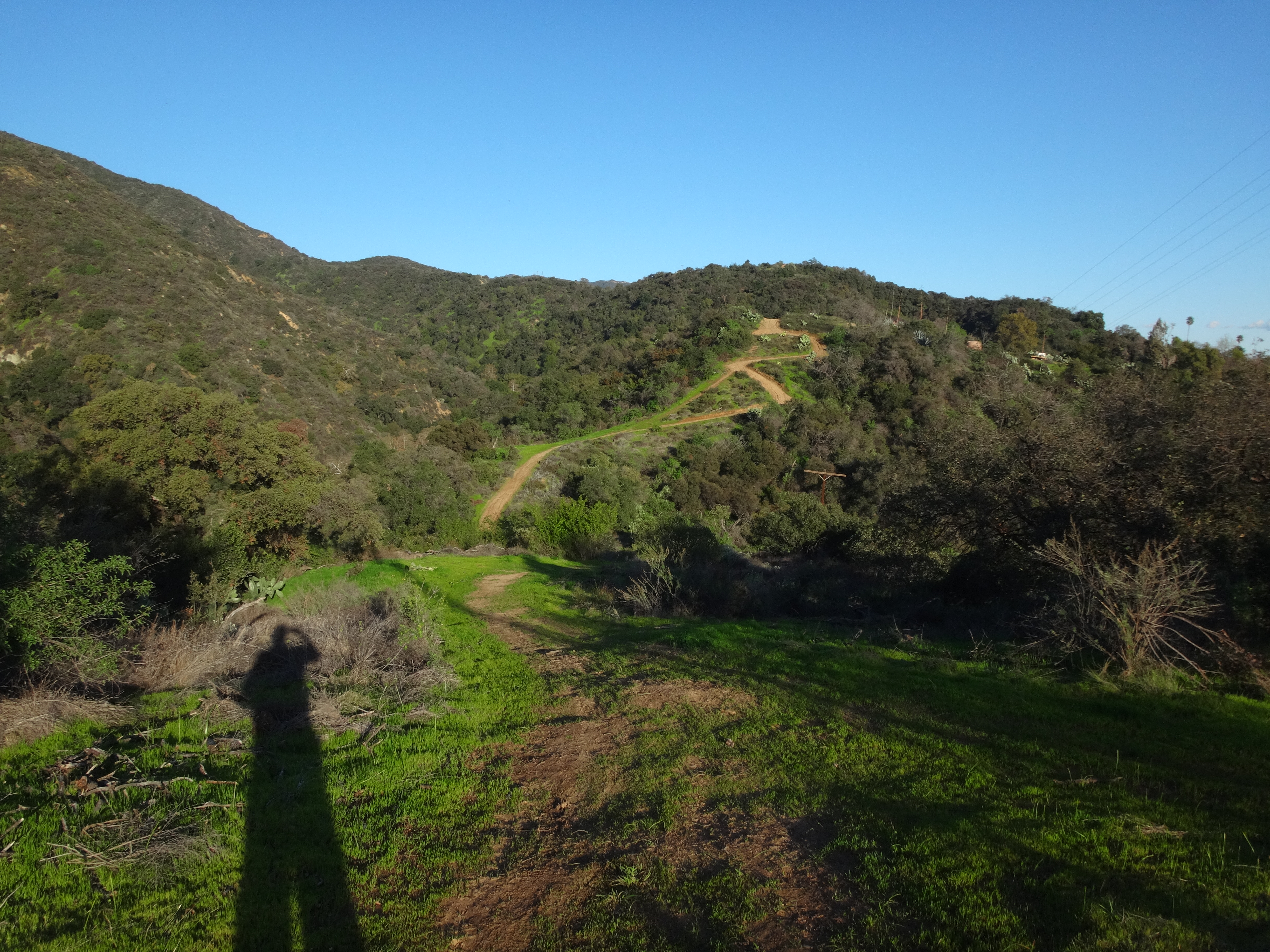
The wilderness park generally consists of two trails. There is the short road to the water tank from Highland Place. And then there is the much longer Lower Clamshell truck trail. These two paths don't intersect, but they can be connected via a short ridge route with a slightly brushy path. I noticed this ridge on the north side of the road about one-tenth of a mile before the water tank.
(At a saddle before the water tank.)
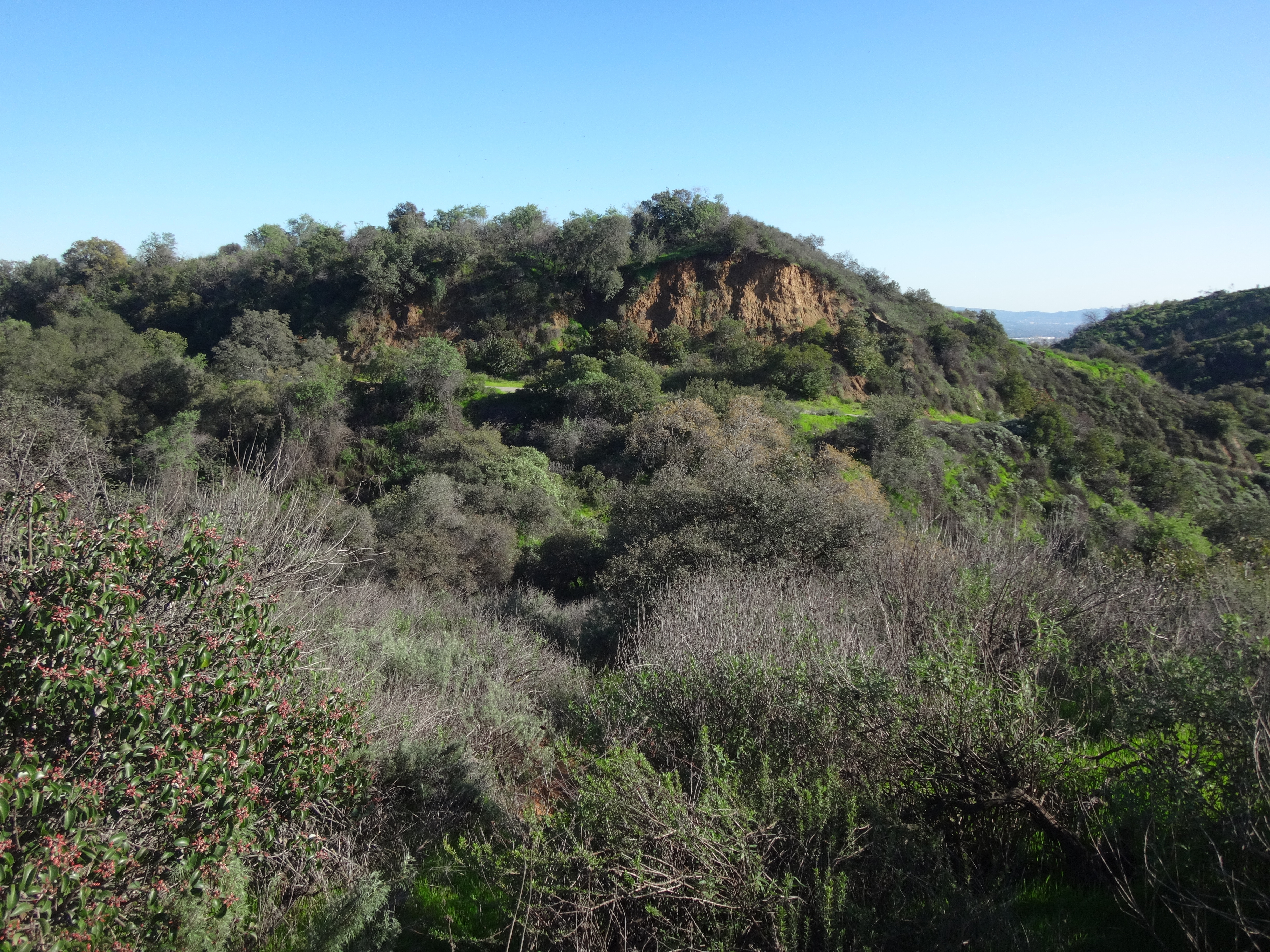
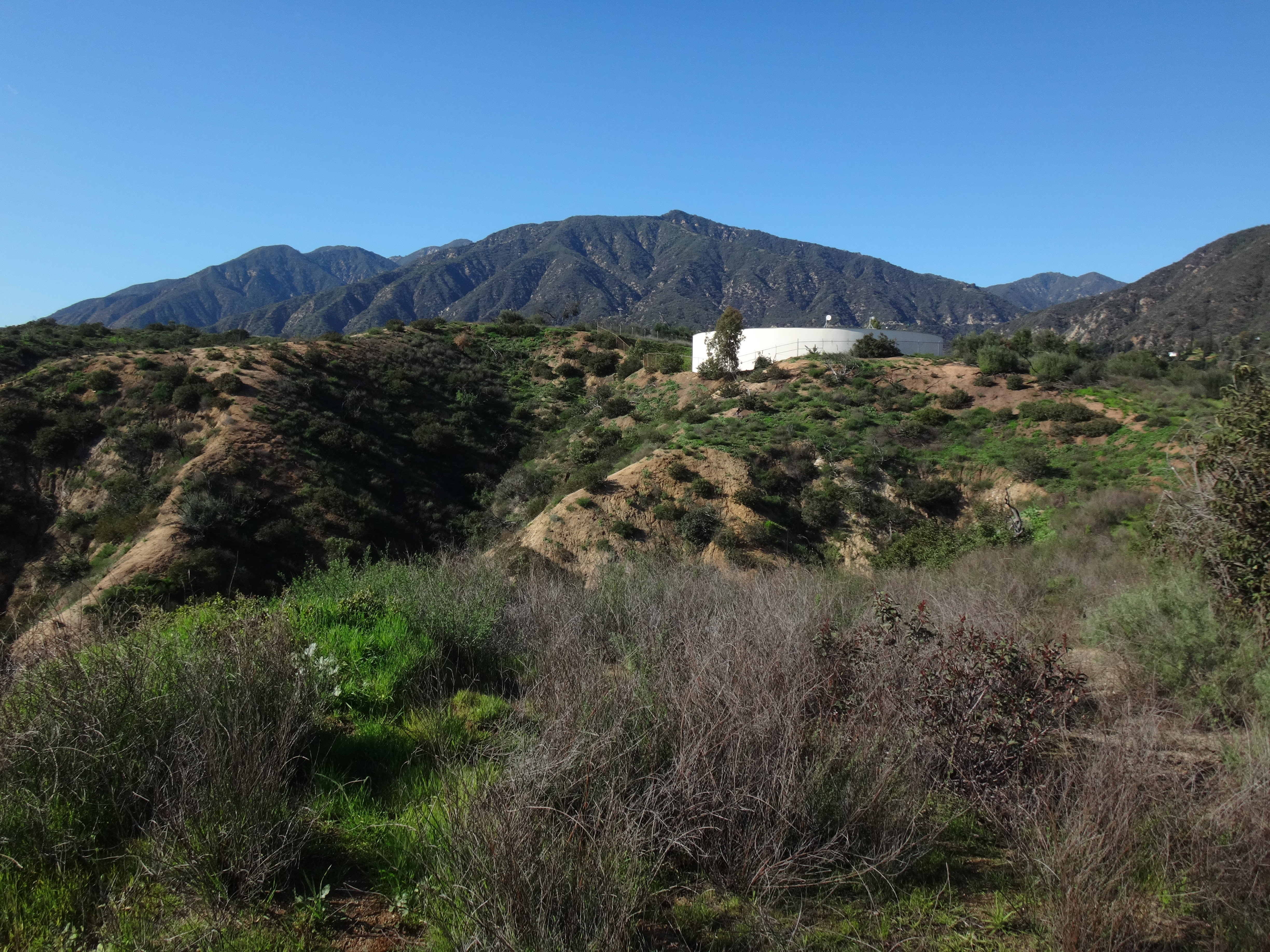
(Looking back toward the water tank road, having started on the ridge connector route.)
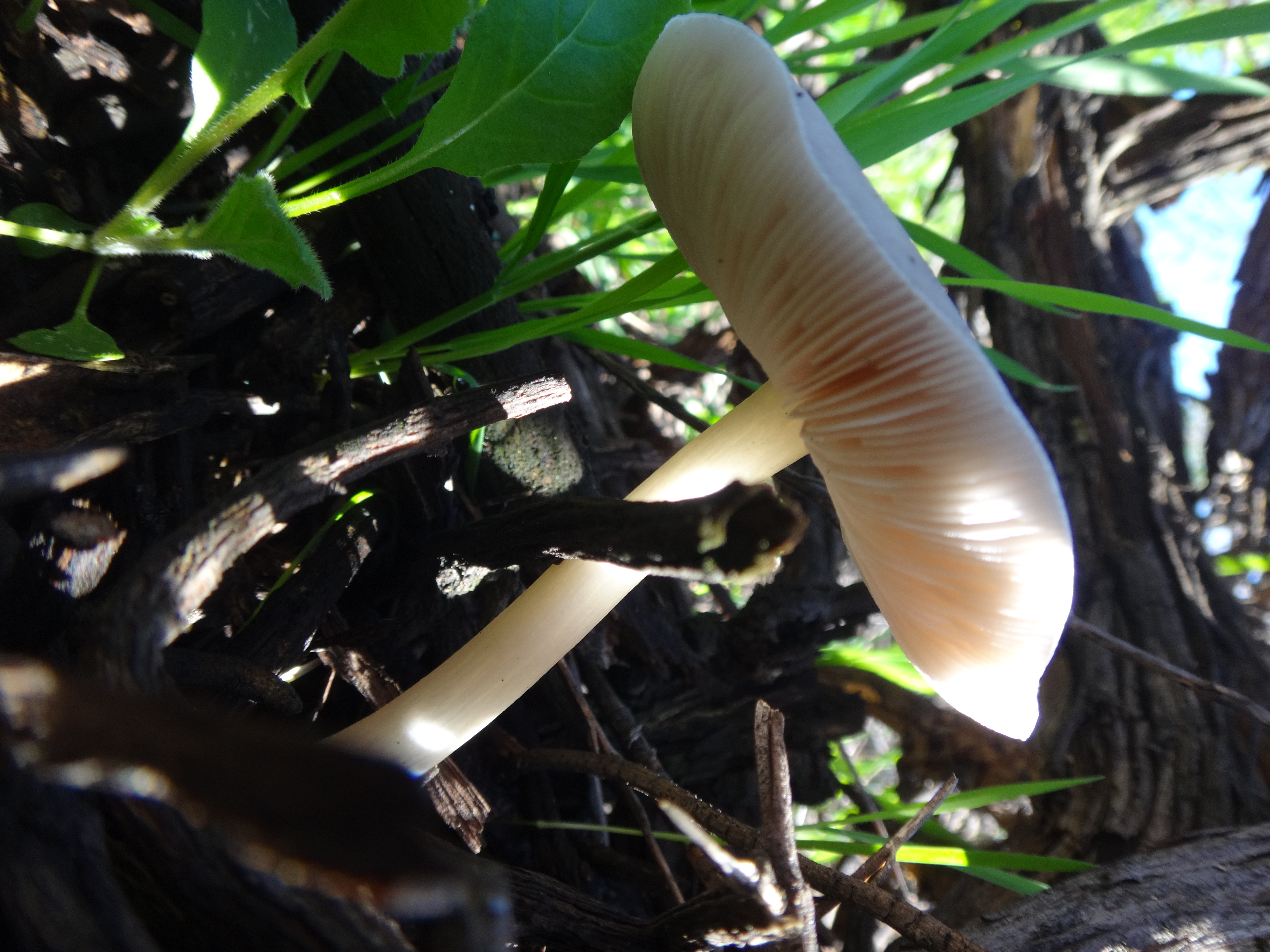
On the ridge I tried to take a picture of a neat red bug, but it didn't come out. So you'll have to settle for yet another shroom shot.
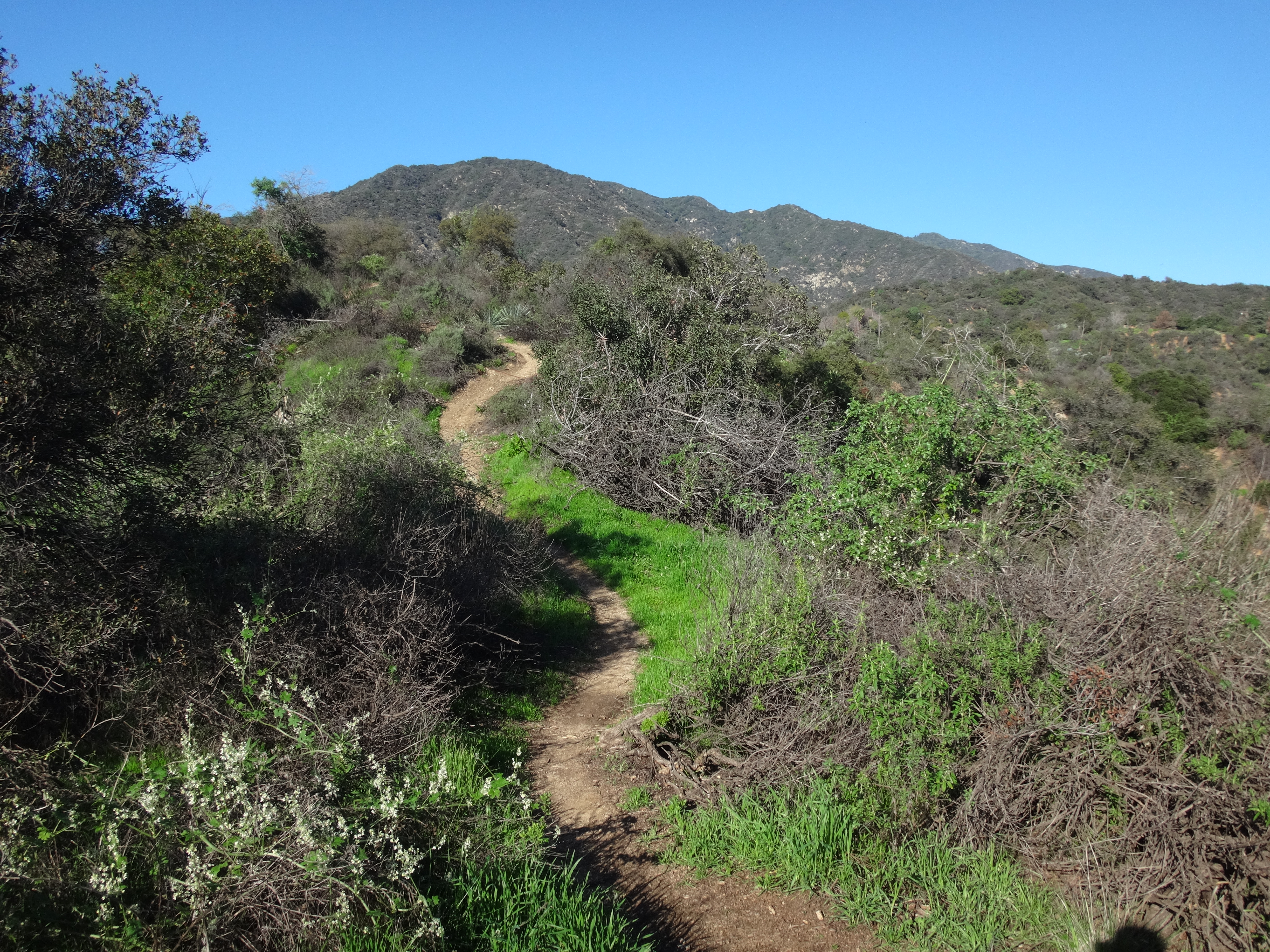
Soon the overgrown ridge path connected with an official trail, which serves as an alternate to the fire road.
This trail dropped me to the Clamshell road.
The right branch was for private residences. I took the left branch for half a mile to another junction, where I could either continue down to the Santa Anita stream and debris dam, or turn right to climb up a ridge. I decided to check out the water first.
(Santa Anita Creek)
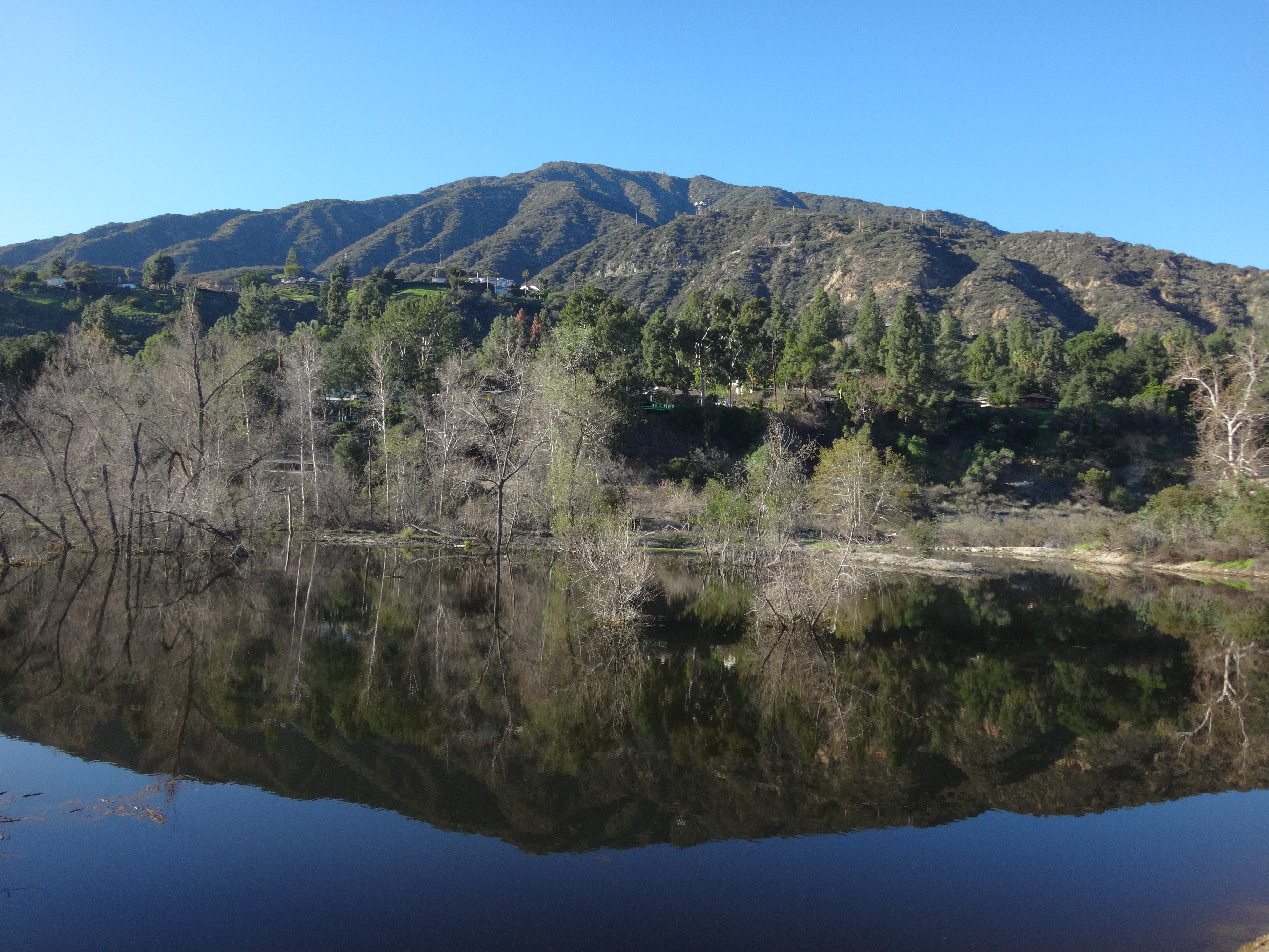
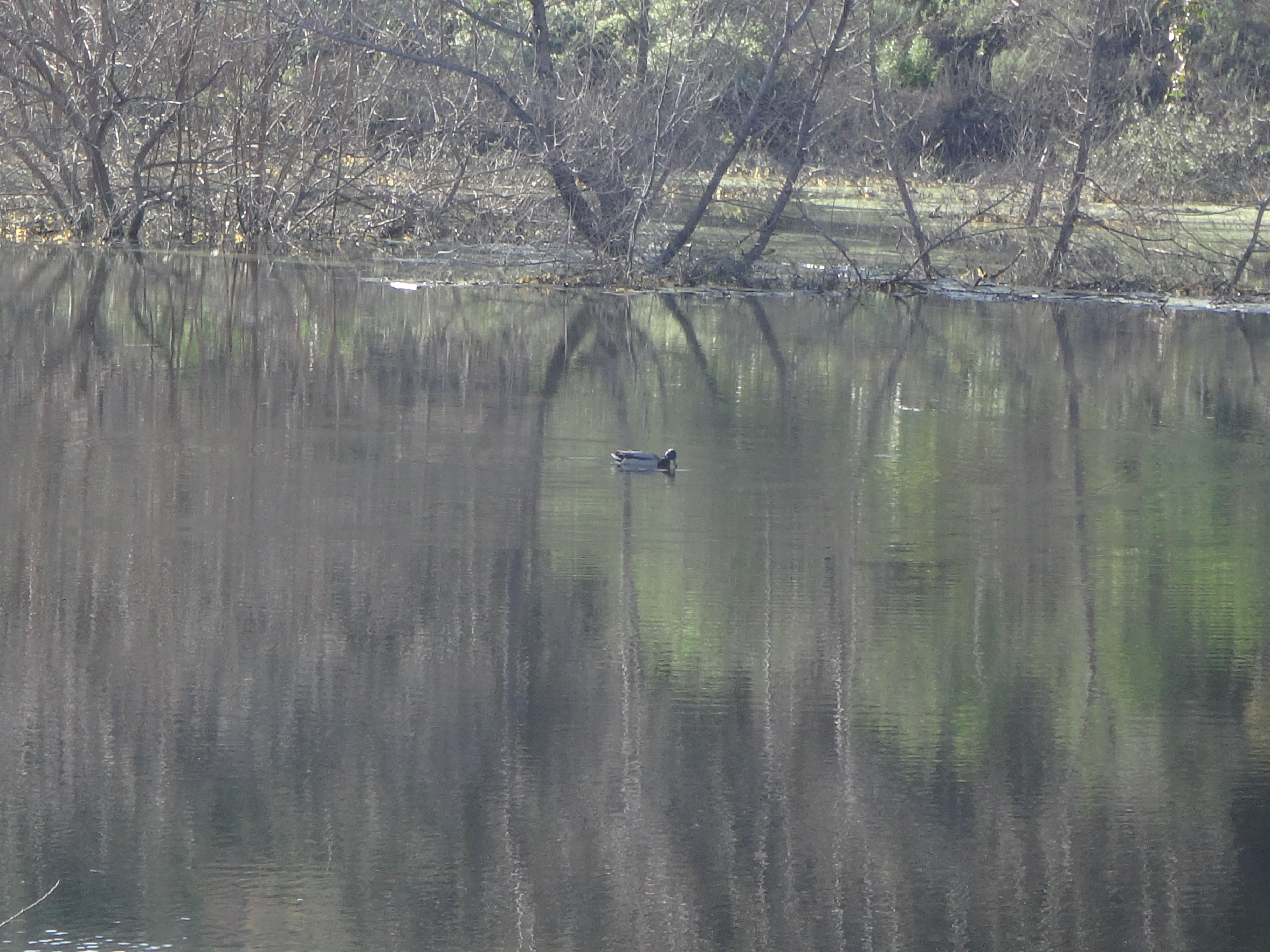
(Santa Anita Debris Basin)
The debris dam was topped up with fresh, blue water from the bustling stream. Leafless trees poked their heads up from the reflective surface of the pond. A few ducks floated here to there.
Returning to the junction, I now climbed up the ridge.
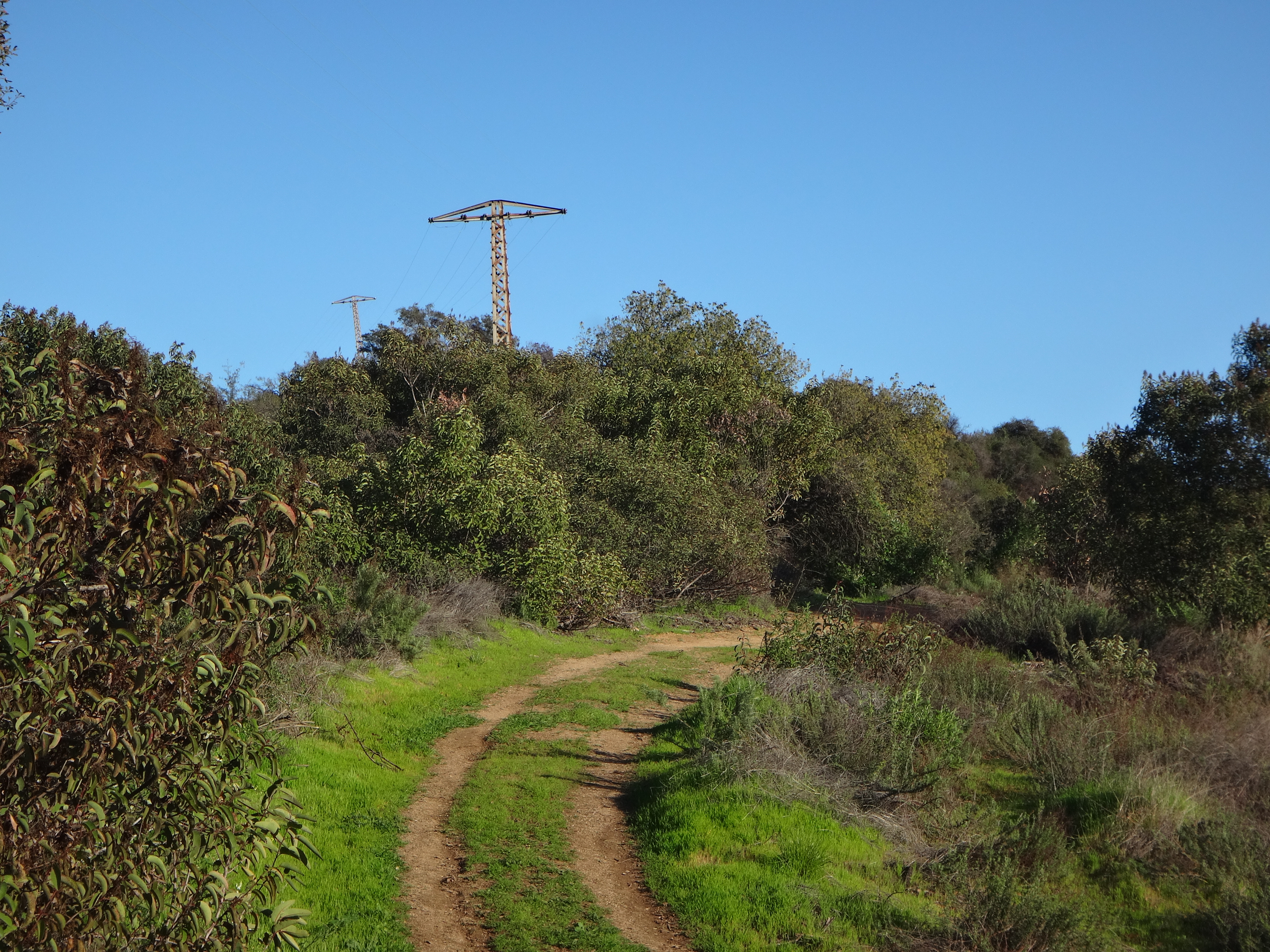
At the top electrical towers dotted the ridgeline road.
The route was well-signed, guiding hikers along a combination of road and trail. To avoid a restricted, private access portion of the truck trail, the route followed a section of singletrack switchbacks which top out at a lookout point (1560').
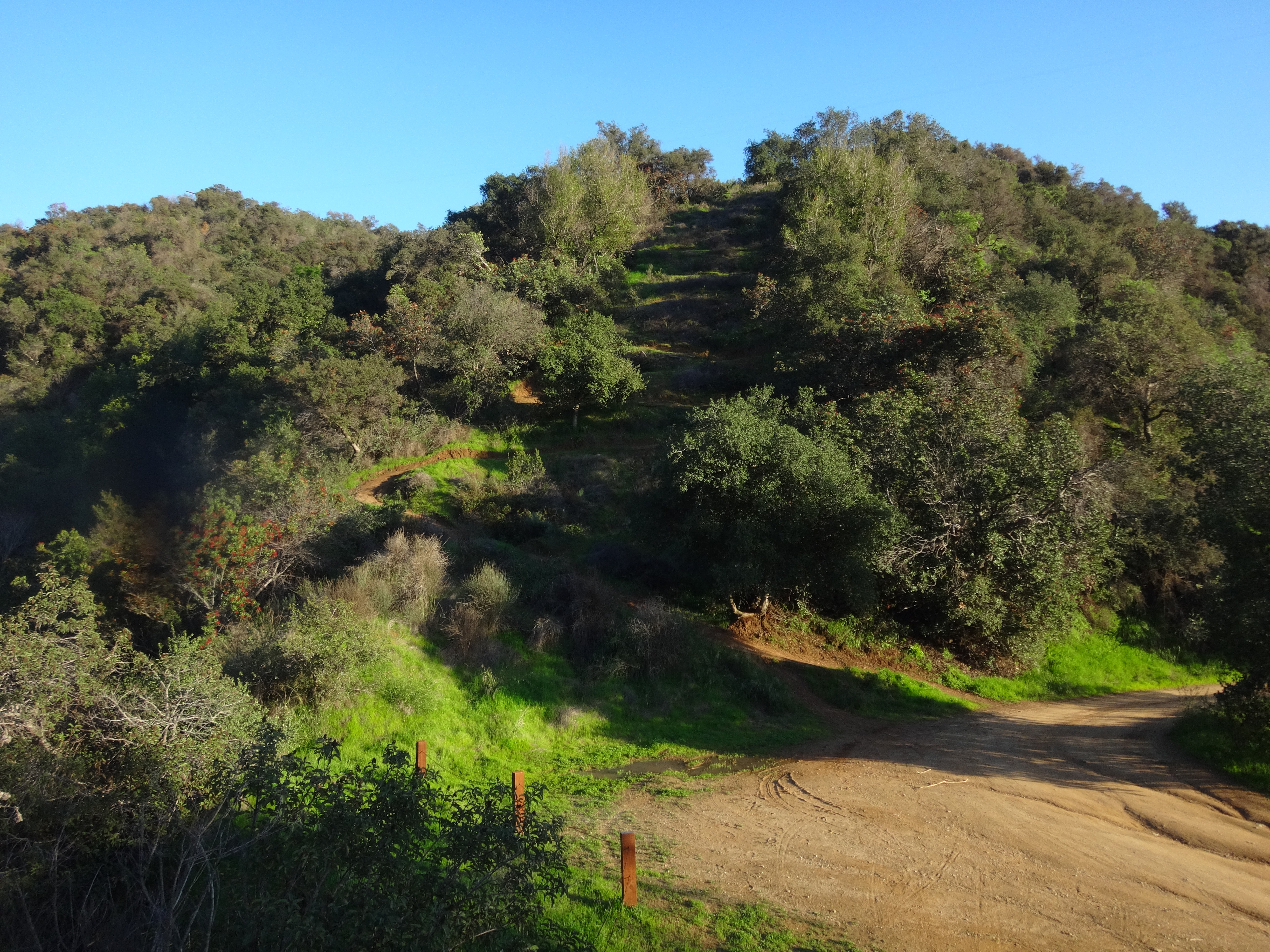
(Private access road on right. Switchback trail on left.)
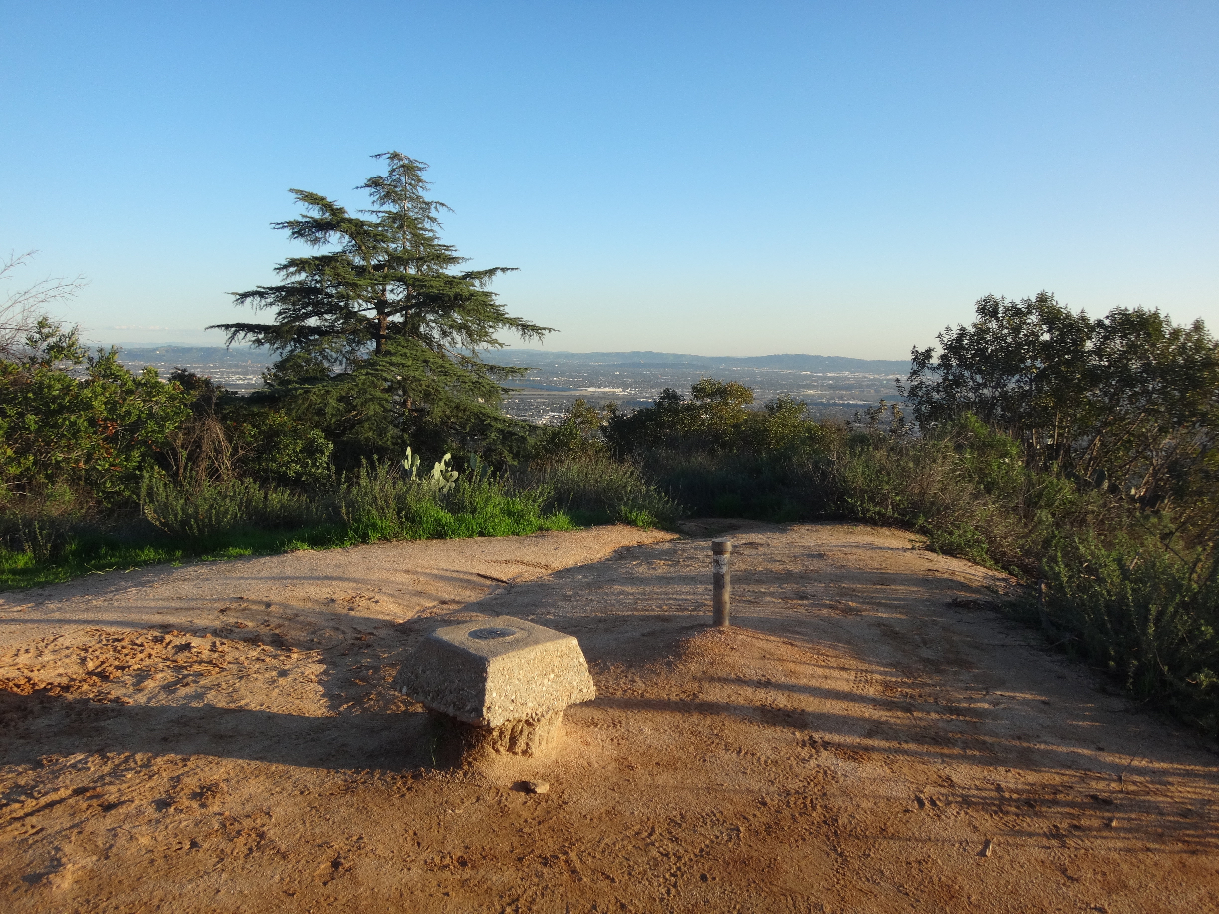
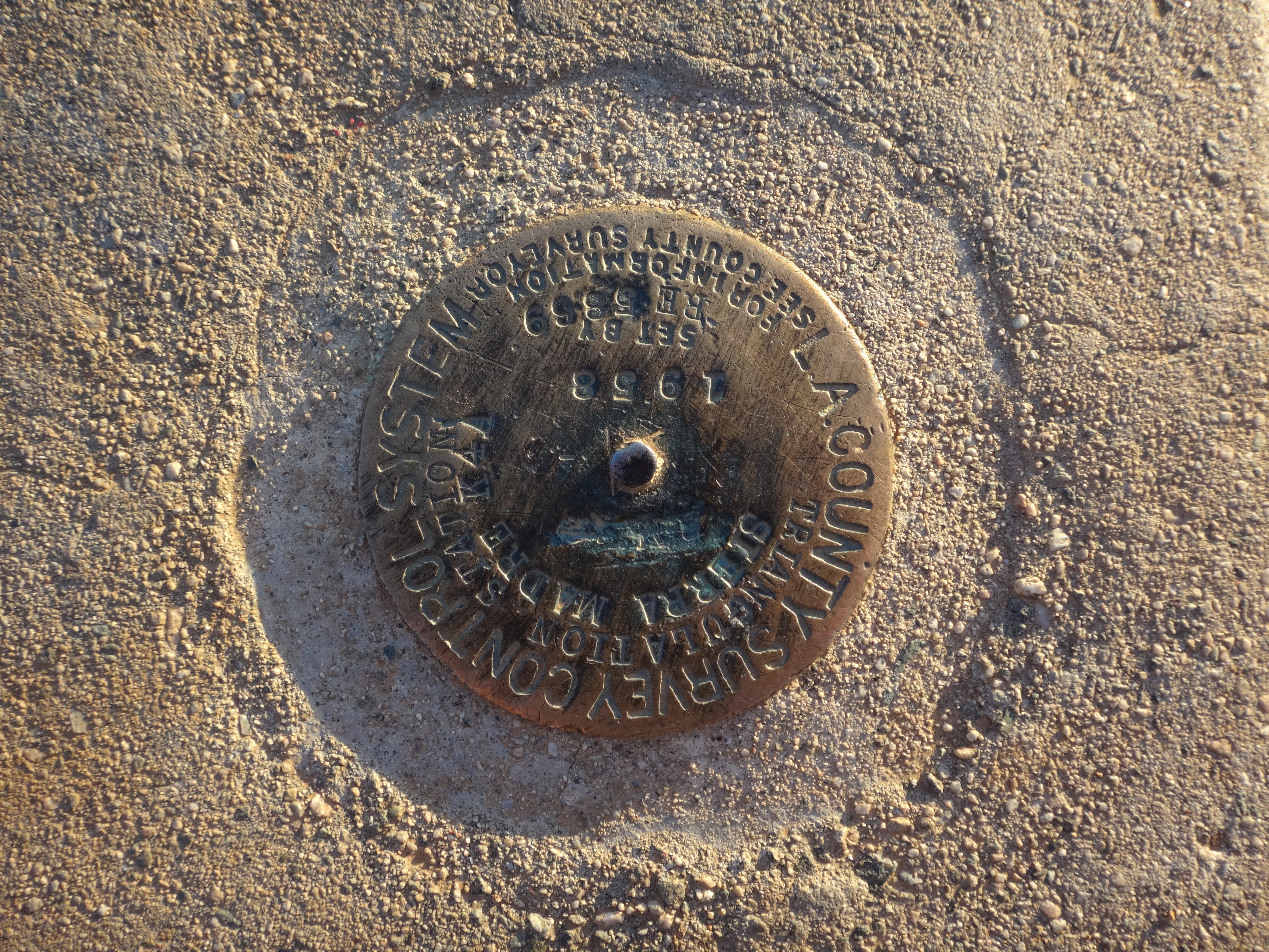
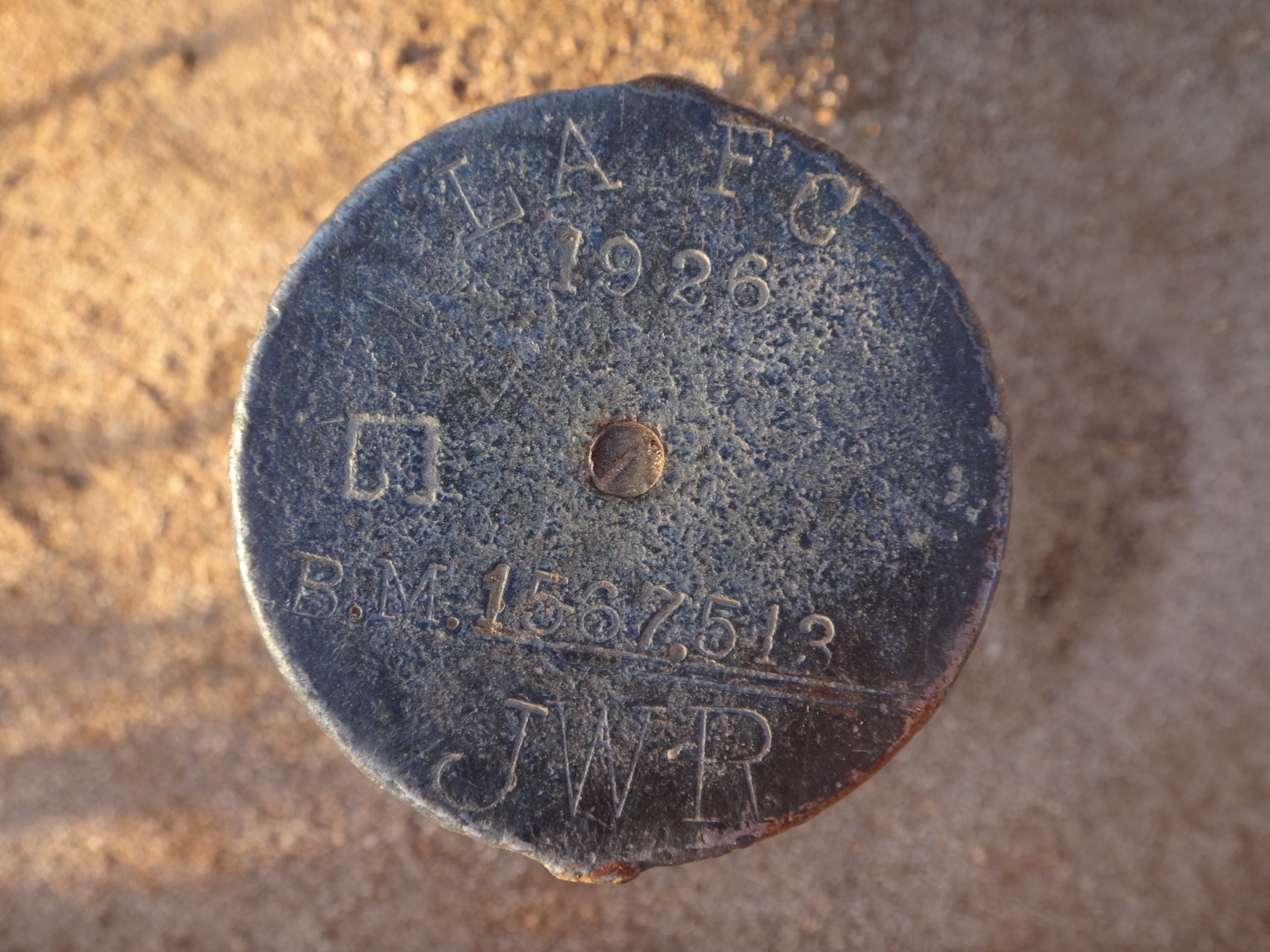
The summit had two benchmarks next to each other. "Sierra Madre K4A" triangulation station was set in 1958 by the county.
And the other one was from 1926, set by LAFC with a stamped elevation of 1567.513.
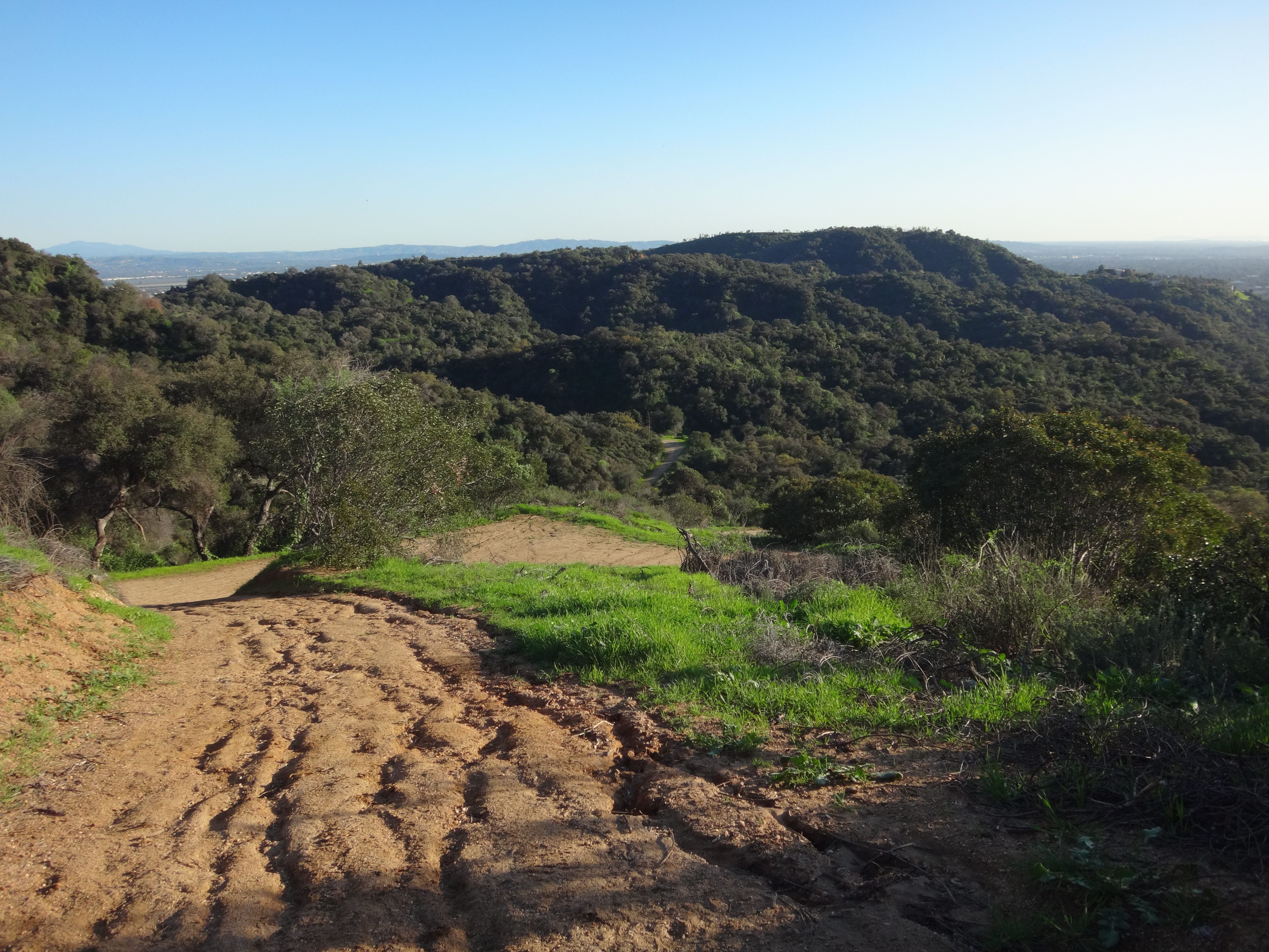
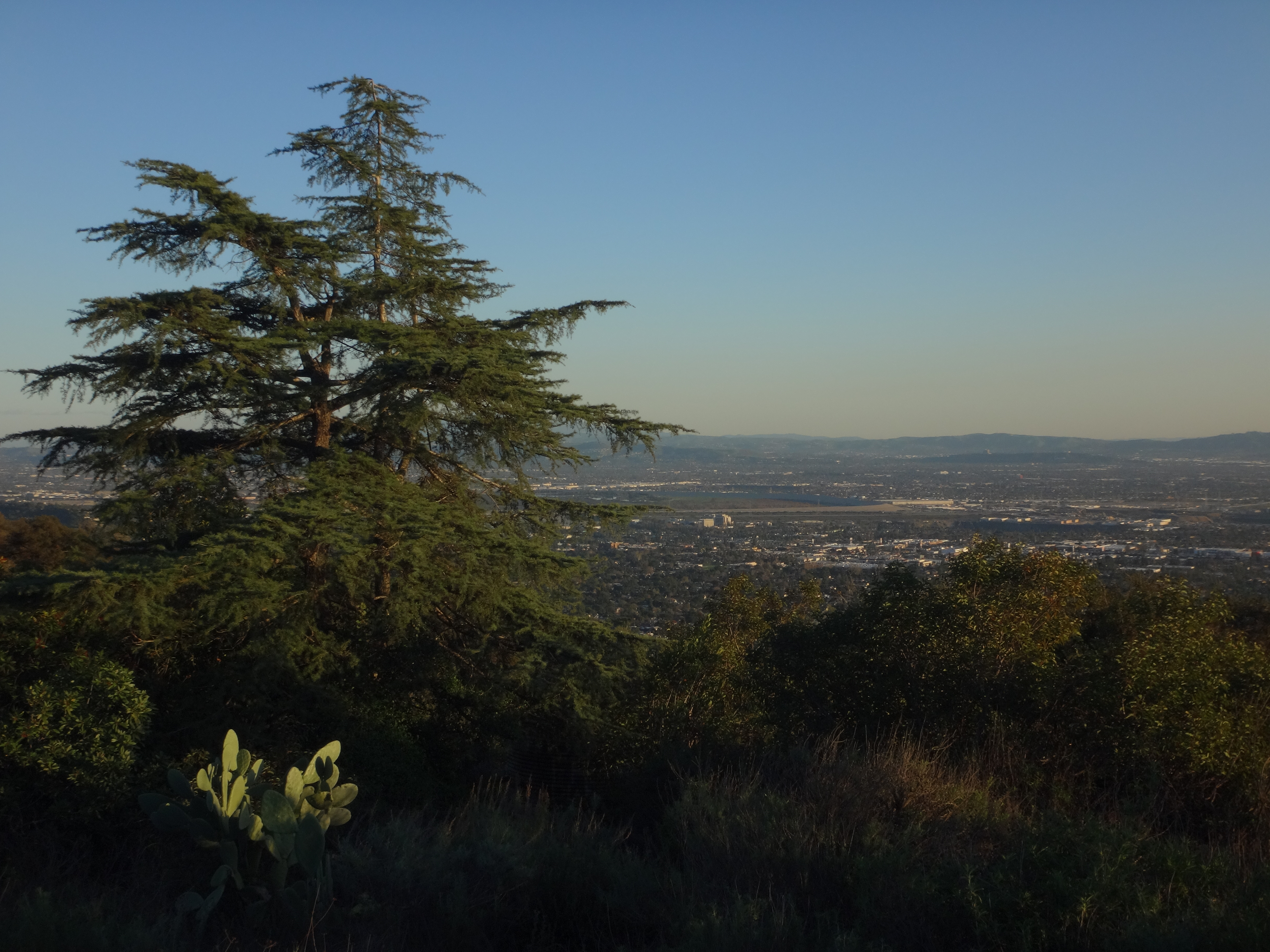
The city view from the lookout was nice. I identified a few landmarks, including Santa Fe Dam, before departing.
It was getting late. So I continued eastward en route to the exit at Ridgeside Drive.
Then, in the dark, I walked a couple miles of city streets back to my car on Highland Place, thus completing a loop of about six miles with 1500' of gain.

