Looking for N324RS in all the wrong places
Posted: Sat Jan 07, 2017 12:20 am
Last week somebody mentioned a helicopter crash at Baldy. I've been wanting to do more snow stuff, so this was as good an excuse as any to go up there. So I started the day by climbing up Register ridge. Once again this route did that thing that it does: show me bighorn sheep

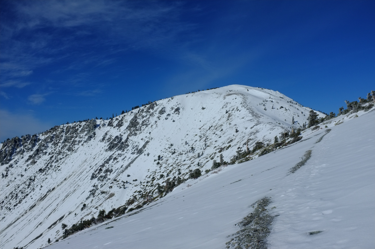
The bottom of the ridge was fairly dry, but got progressively more icy, and I pulled out the traction devices at about 8000'. Eventually I met the Devil's Backbone trail, with a clear view of the remaining route to the summit:
After a bit more walking and one very sketchy section on the Harwood traverse, I summited:
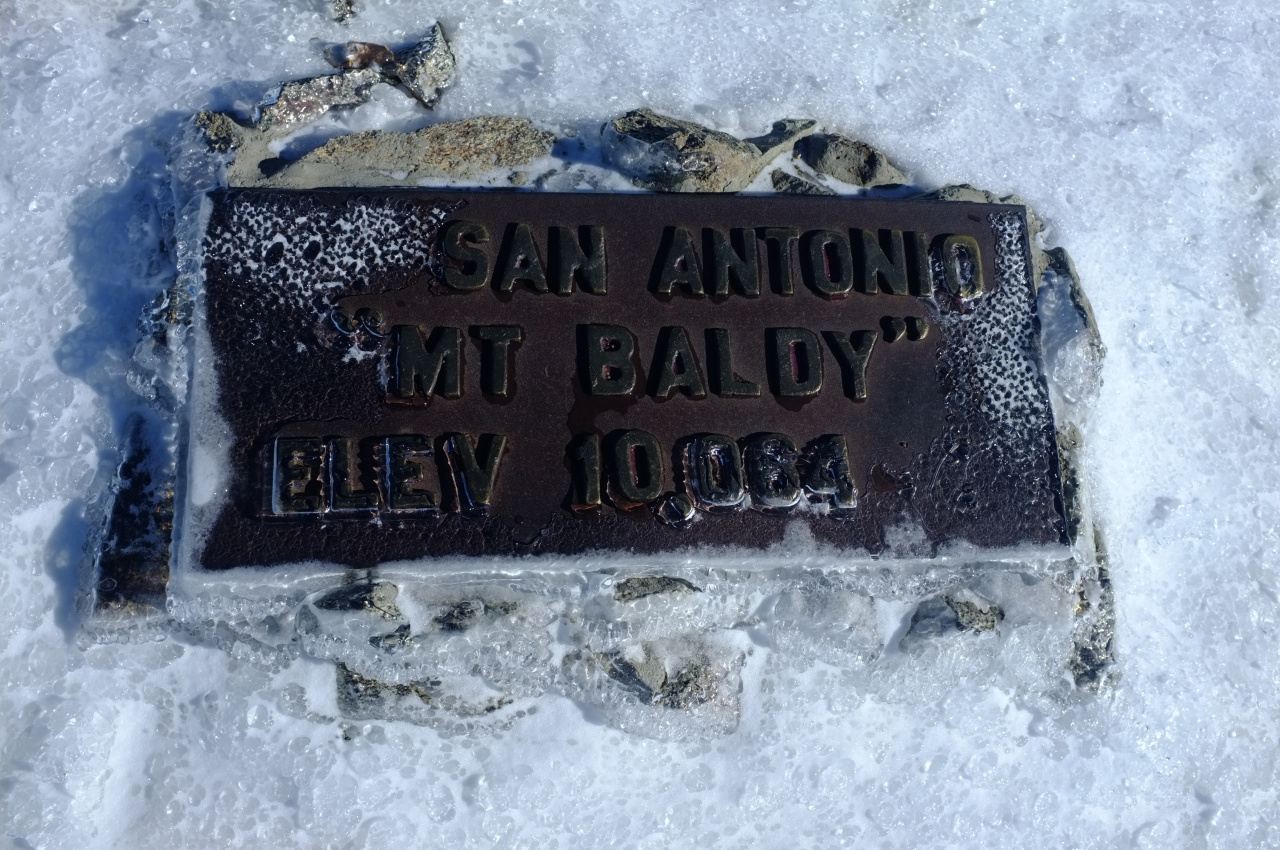
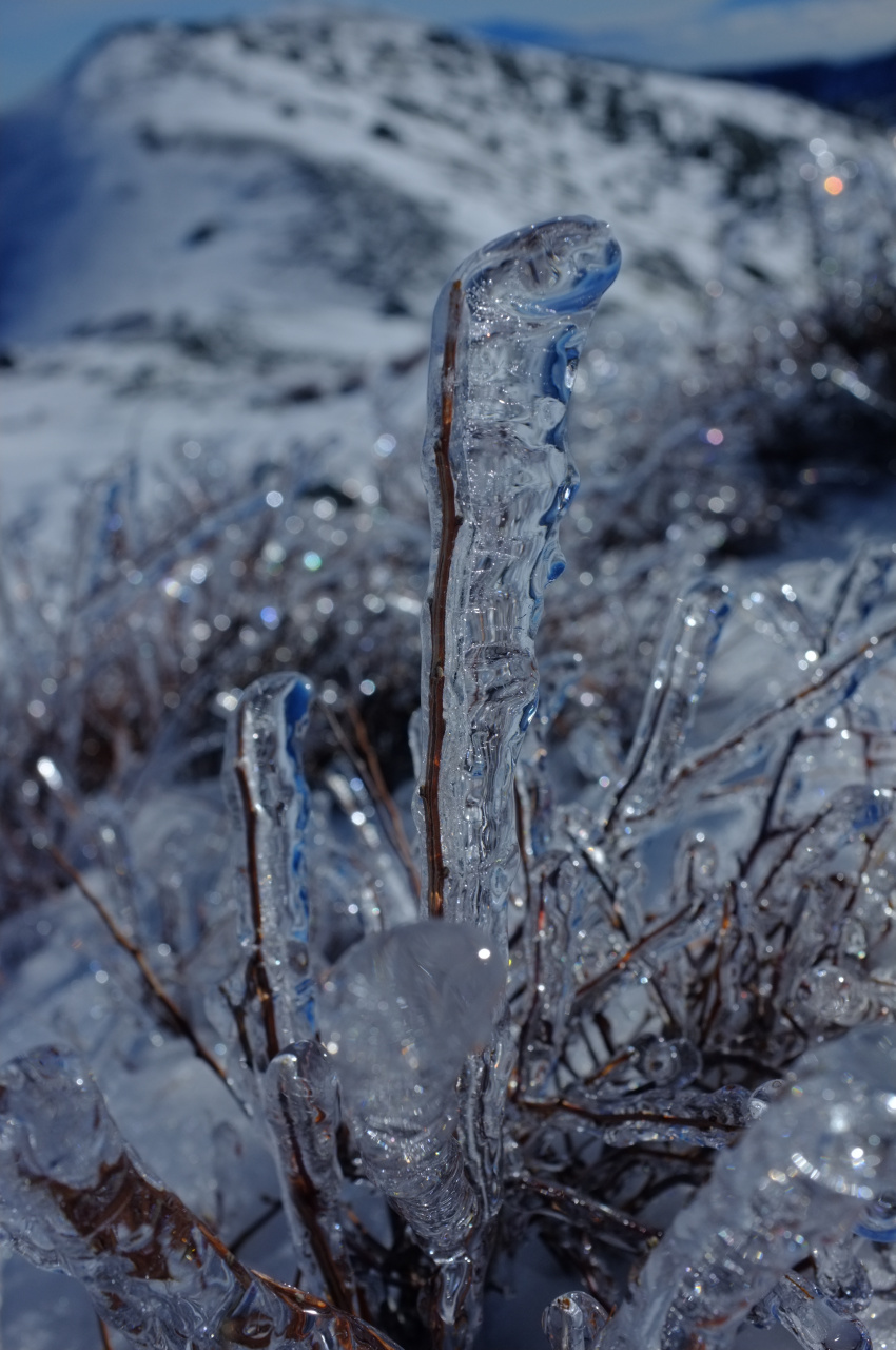
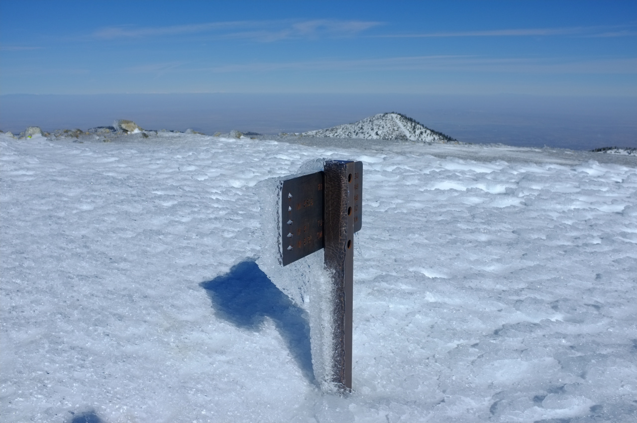
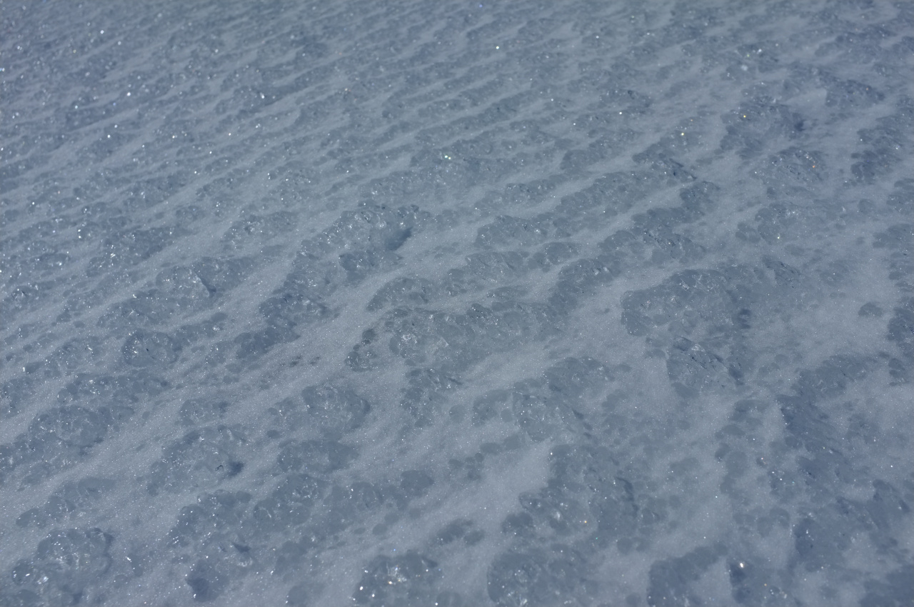
The snow condition is rather poor. It's pretty much all ice. And where it isn't, it's slush. Today was warm, and I guess the past few days must have been as well. As usual the summit ridge was windy, which resulted in some interesting ice formations:
So far no chopper. The news photos and footage showed the site as the middle of a flat, snowy (and non-descript) ridge. There isn't that much cover, so I walked over to West Baldy and a bit of San Antonio ridge to get a visual on all the snowy ridgelines. No chopper, but the views are grand!

Walking back to the main summit, I noticed a helicopter-sized indentation in the ice, with a smaller, helicopter-boom-sized one next to it:

This is the view towards West Baldy. Not much else around there, so that's the best candidate. Looking at the news footage again, one of the reports has a few frames of a somebody's cell-phone video. The view at about 1:14 looks pretty close to the view in the above photo, and that's good enough for me.
Having closed this case, I began the descent down the Ski hut trail. This had some icy trees (shown here next to San Gorgonio)

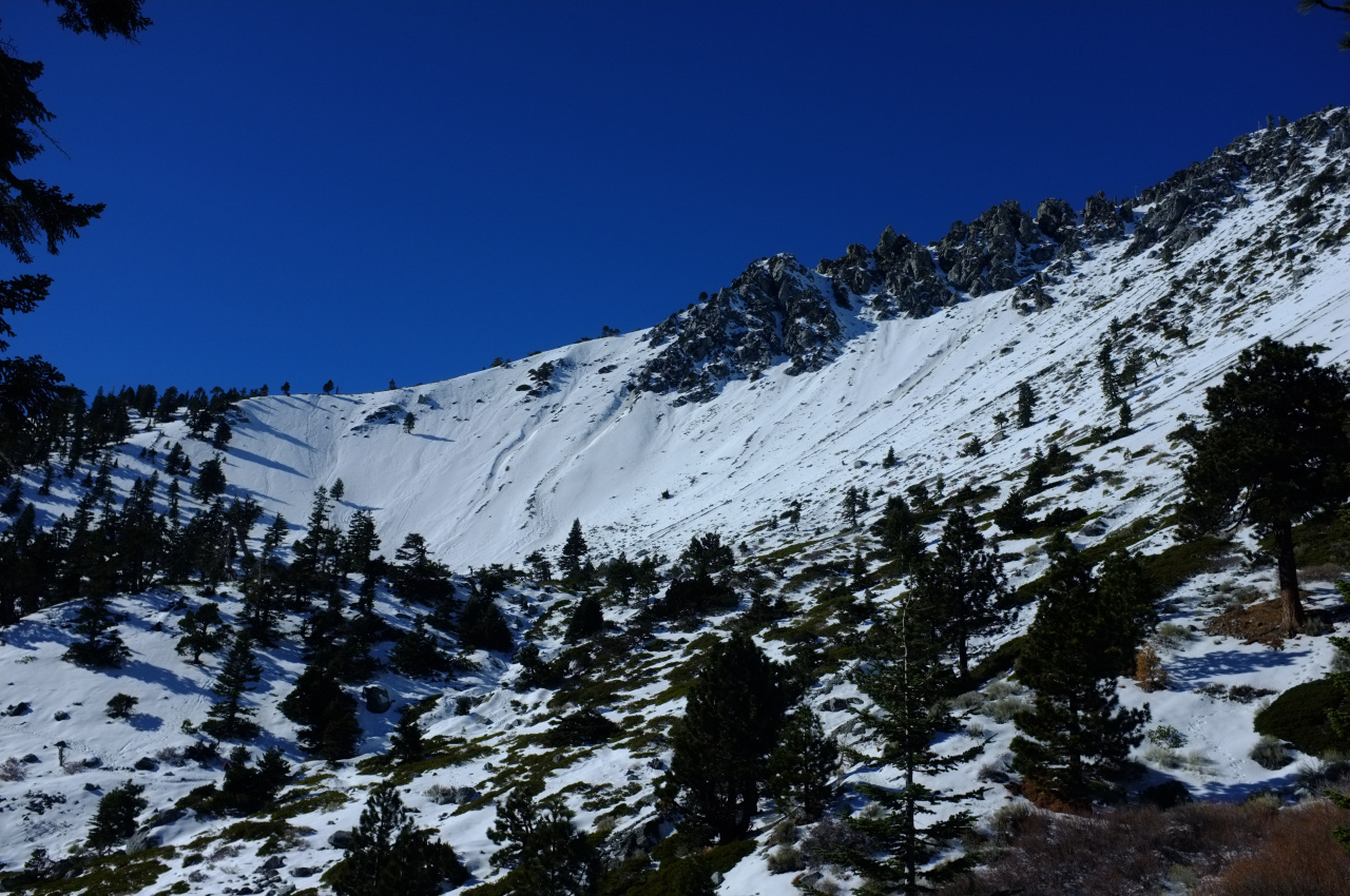
and a nice view of the bowl
Once back to my car, I decided to close another open case, and you can read about it here

The bottom of the ridge was fairly dry, but got progressively more icy, and I pulled out the traction devices at about 8000'. Eventually I met the Devil's Backbone trail, with a clear view of the remaining route to the summit:

After a bit more walking and one very sketchy section on the Harwood traverse, I summited:

The snow condition is rather poor. It's pretty much all ice. And where it isn't, it's slush. Today was warm, and I guess the past few days must have been as well. As usual the summit ridge was windy, which resulted in some interesting ice formations:


So far no chopper. The news photos and footage showed the site as the middle of a flat, snowy (and non-descript) ridge. There isn't that much cover, so I walked over to West Baldy and a bit of San Antonio ridge to get a visual on all the snowy ridgelines. No chopper, but the views are grand!

Walking back to the main summit, I noticed a helicopter-sized indentation in the ice, with a smaller, helicopter-boom-sized one next to it:

This is the view towards West Baldy. Not much else around there, so that's the best candidate. Looking at the news footage again, one of the reports has a few frames of a somebody's cell-phone video. The view at about 1:14 looks pretty close to the view in the above photo, and that's good enough for me.
Having closed this case, I began the descent down the Ski hut trail. This had some icy trees (shown here next to San Gorgonio)

and a nice view of the bowl

Once back to my car, I decided to close another open case, and you can read about it here