Frankish archaeology
Posted: Sat Dec 24, 2016 3:21 am
Last month there was another aviation disaster in the San Gabriels. This time it was on the East side of the range: a small Piper airplane impacted in the mountains above Upland. I've never been to that area, so last weekend I took a short trip to climb the local high point (Frankish Peak), and to hopefully find the wreckage on the way.
The most logical route to this climbs Frankish from the SW. The ridge begins just East of San Antonio Dam, and climbs up via the Pole benchmark. The impact site should be in one of the canyons on either side of this ridge.
Apparently this is a not-unknown route people take to the top of this peak; the beginning looks like this:

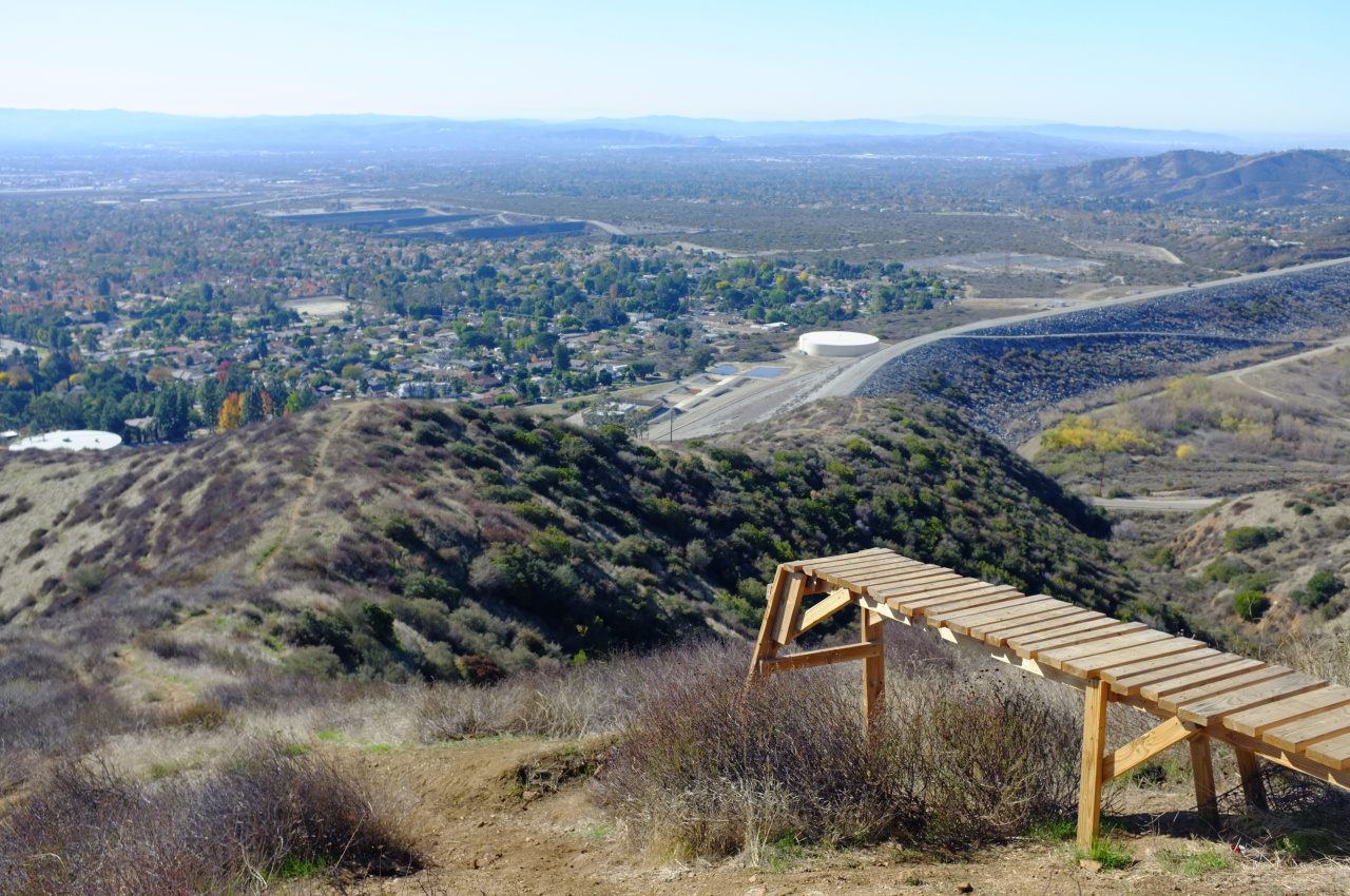
There's an odd structure along the firebreak:

The ridgeline is clear. The south-facing canyon walls are covered with thick brush. The north-facing ones, not so much. I made a few detours on the way up to look for the crash site without luck.
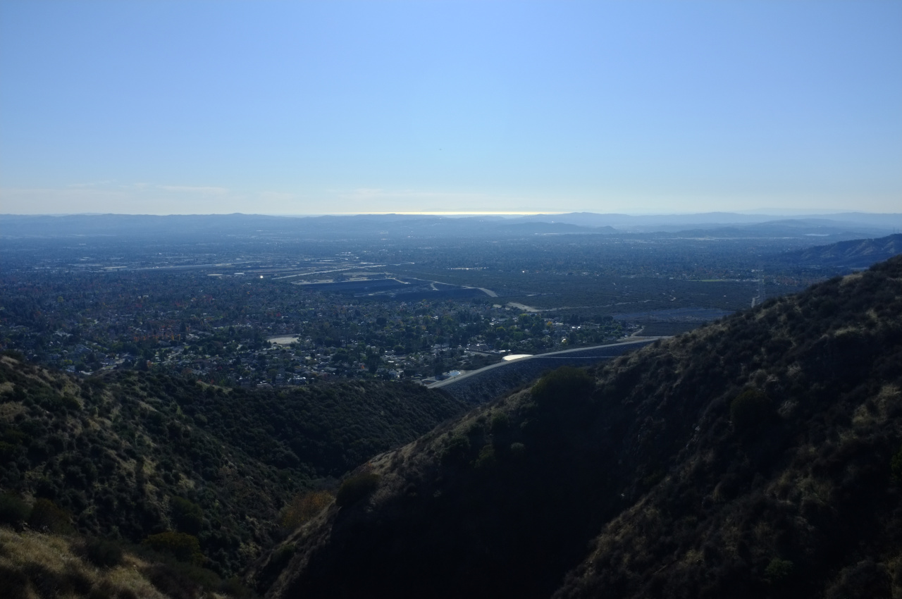
Pole is an uninteresting bump with no benchmark. Frankish is fairly uninteresting also, although the views are nice (click):

I found the register and signed in. This peak is clearly visitated regularly, but the register is very sparse. This peak isn't for hikin', it's for beer-drinkin':

I took a different minor ridge on the way down to peek into some other canyons. Then at a likely location I found wreckage. But instead of a recent plane wreck, it was an old truck wreck:

This was mildly disappointing, but at least I could console myself with views of the ocean and Catalina Island

So I don't know where this thing is. It's possible that it isn't in the canyons I thought it was in. Or maybe the site got cleaned up (it's closer to civilization than the other one) and was more difficult to see
The most logical route to this climbs Frankish from the SW. The ridge begins just East of San Antonio Dam, and climbs up via the Pole benchmark. The impact site should be in one of the canyons on either side of this ridge.
Apparently this is a not-unknown route people take to the top of this peak; the beginning looks like this:

There's an odd structure along the firebreak:

The ridgeline is clear. The south-facing canyon walls are covered with thick brush. The north-facing ones, not so much. I made a few detours on the way up to look for the crash site without luck.
Pole is an uninteresting bump with no benchmark. Frankish is fairly uninteresting also, although the views are nice (click):

I found the register and signed in. This peak is clearly visitated regularly, but the register is very sparse. This peak isn't for hikin', it's for beer-drinkin':

I took a different minor ridge on the way down to peek into some other canyons. Then at a likely location I found wreckage. But instead of a recent plane wreck, it was an old truck wreck:

This was mildly disappointing, but at least I could console myself with views of the ocean and Catalina Island

So I don't know where this thing is. It's possible that it isn't in the canyons I thought it was in. Or maybe the site got cleaned up (it's closer to civilization than the other one) and was more difficult to see