Etiwanda ridge
Posted: Fri Dec 09, 2016 1:01 pm
After getting some (very dated) beta last week, we set off to climb Etiwanda Ridge as a shortcut to San Sevaine road. The route starts at the top end of Etiwanda Ave:

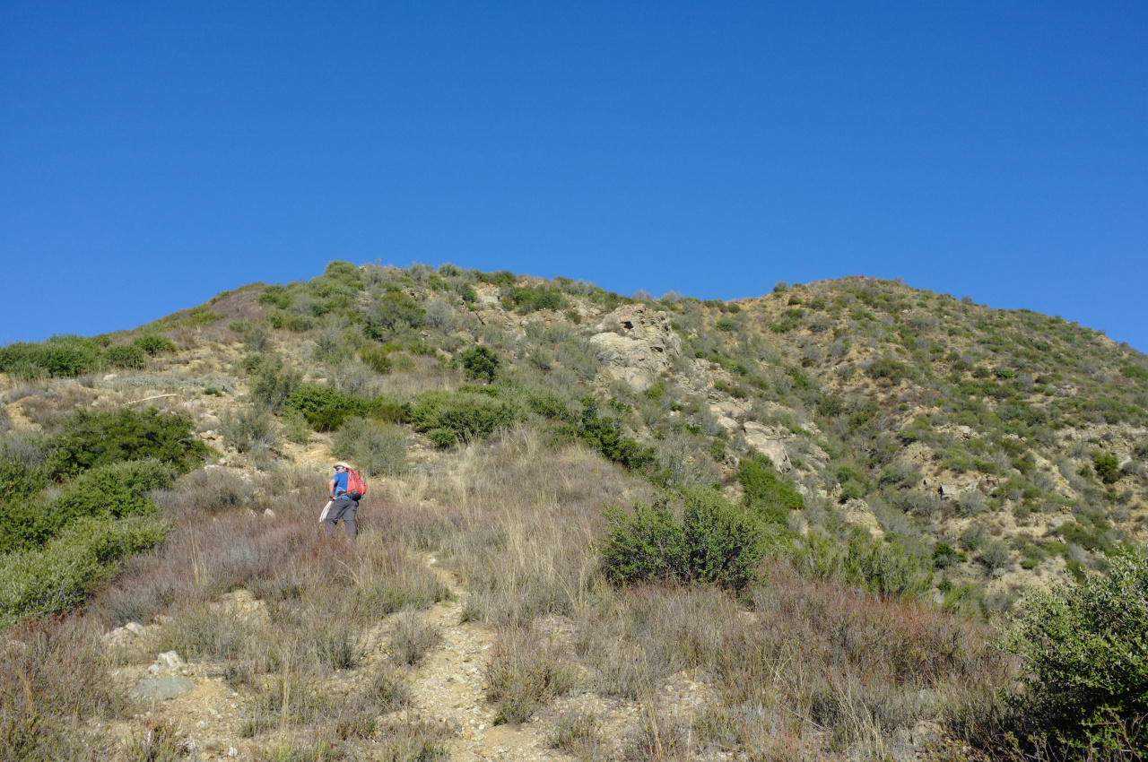
It continues North on a fire road, and picks up a firebreak west of East Etiwanda Canyon. Until point 4771 the route is a firebreak, which makes for quick travel:

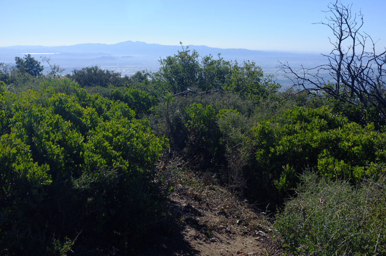
Above 4771 the firebreak ends, but somebody put in a herculean effort to clear the brush going forward.

This looked like a VERY recent effort, and walking through that tunnel through the brush I was pretty sure this would continue all the way up until the road. Unfortunately, whoever did this work got fed up at elevation 5300 or so. For the next 100-200 ft of gain there was still a visible route, but it was overgrown. I brought loppers, which helped enormously up until about 5500 ft, at which point any visible route disappears entirely.
We probably spent too much time looking around and backtracking, trying to find the route again, but it is simply not there. We then picked a line and tried to blast through:

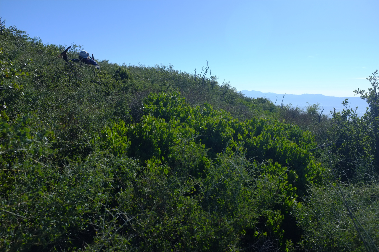
but the brush there is THICK, and we didn't have enough time to reach the road, which is at ~ 6000ft. And from the aerial imagery it looks like there's another firebreak that starts at 5800ft, so in absolute terms we were pretty close. But it's all a pretty formidable wall of whitethorn:

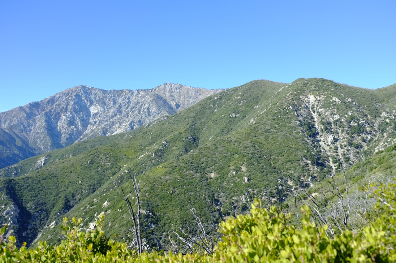
At least the views up to Cucamonga and Etiwanda peaks were nice. Cucamonga has a bit of snow on top!

So if somebody goes up this ridge, bring loppers, saws, a long-sleeved shirt, pants and LOTS of patience. I'm now going to go pull yet another thorn tip out of my arm.

It continues North on a fire road, and picks up a firebreak west of East Etiwanda Canyon. Until point 4771 the route is a firebreak, which makes for quick travel:

Above 4771 the firebreak ends, but somebody put in a herculean effort to clear the brush going forward.

This looked like a VERY recent effort, and walking through that tunnel through the brush I was pretty sure this would continue all the way up until the road. Unfortunately, whoever did this work got fed up at elevation 5300 or so. For the next 100-200 ft of gain there was still a visible route, but it was overgrown. I brought loppers, which helped enormously up until about 5500 ft, at which point any visible route disappears entirely.
We probably spent too much time looking around and backtracking, trying to find the route again, but it is simply not there. We then picked a line and tried to blast through:

but the brush there is THICK, and we didn't have enough time to reach the road, which is at ~ 6000ft. And from the aerial imagery it looks like there's another firebreak that starts at 5800ft, so in absolute terms we were pretty close. But it's all a pretty formidable wall of whitethorn:

At least the views up to Cucamonga and Etiwanda peaks were nice. Cucamonga has a bit of snow on top!

So if somebody goes up this ridge, bring loppers, saws, a long-sleeved shirt, pants and LOTS of patience. I'm now going to go pull yet another thorn tip out of my arm.