After getting some (very dated) beta last week, we set off to climb Etiwanda Ridge as a shortcut to San Sevaine road. The route starts at the top end of Etiwanda Ave:
It continues North on a fire road, and picks up a firebreak west of East Etiwanda Canyon. Until point 4771 the route is a firebreak, which makes for quick travel:
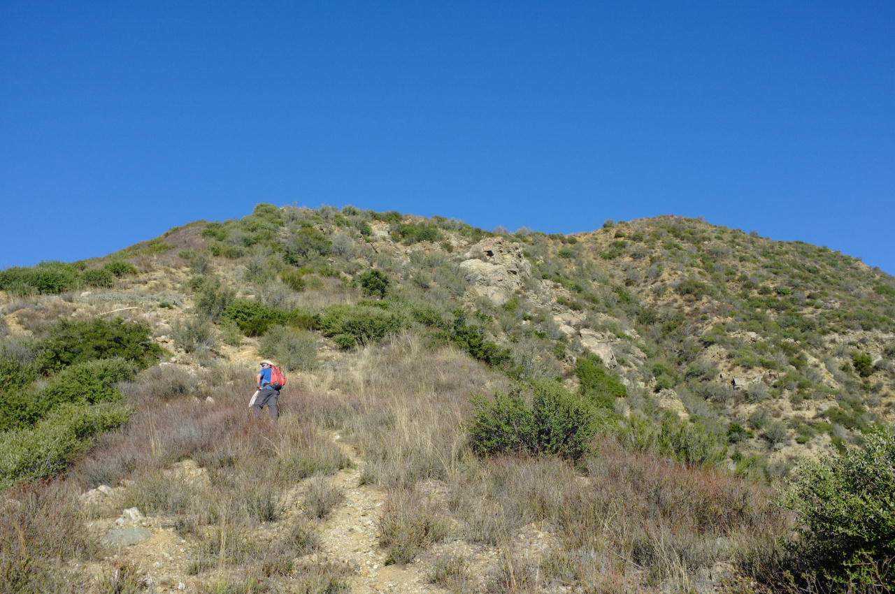
Above 4771 the firebreak ends, but somebody put in a herculean effort to clear the brush going forward.
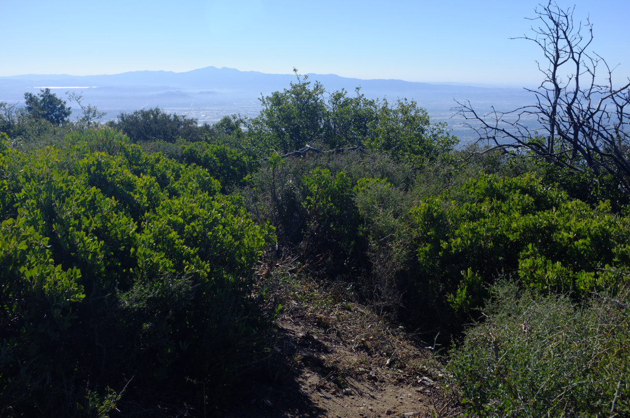
This looked like a VERY recent effort, and walking through that tunnel through the brush I was pretty sure this would continue all the way up until the road. Unfortunately, whoever did this work got fed up at elevation 5300 or so. For the next 100-200 ft of gain there was still a visible route, but it was overgrown. I brought loppers, which helped enormously up until about 5500 ft, at which point any visible route disappears entirely.
We probably spent too much time looking around and backtracking, trying to find the route again, but it is simply not there. We then picked a line and tried to blast through:
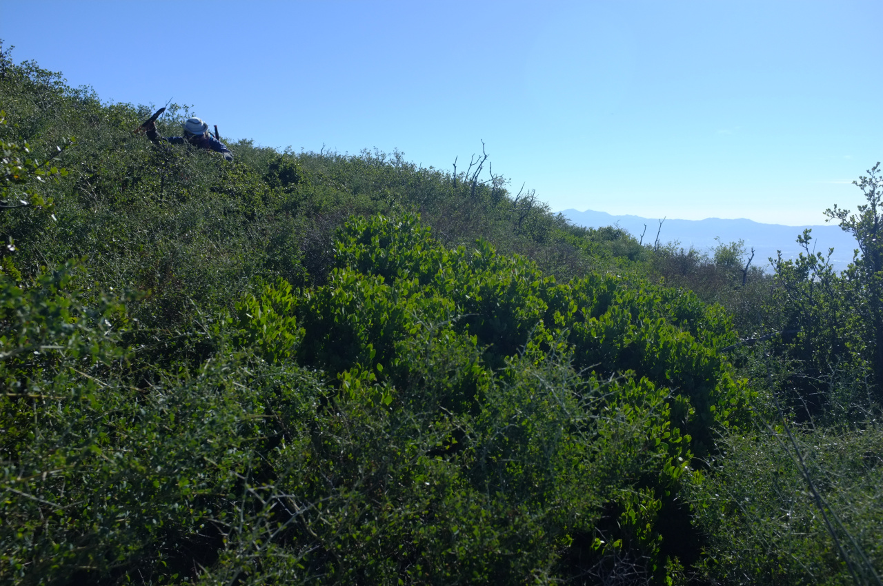
but the brush there is THICK, and we didn't have enough time to reach the road, which is at ~ 6000ft. And from the aerial imagery it looks like there's another firebreak that starts at 5800ft, so in absolute terms we were pretty close. But it's all a pretty formidable wall of whitethorn:
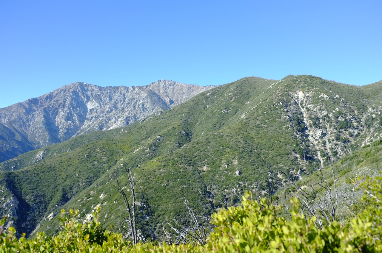
At least the views up to Cucamonga and Etiwanda peaks were nice. Cucamonga has a bit of snow on top!
So if somebody goes up this ridge, bring loppers, saws, a long-sleeved shirt, pants and LOTS of patience. I'm now going to go pull yet another thorn tip out of my arm.
Etiwanda ridge
- Uncle Rico
- Posts: 1439
- Joined: Thu Mar 20, 2008 7:48 pm
Kinda brings to mind this John Muir quote don't it?
"In the mountains of San Gabriel, overlooking the lowland vines and fruit groves, Mother Nature is most ruggedly, thornily savage. Not even in the Sierra have I ever made the acquaintance of mountains more rigidly inaccessible. The slopes are exceptionally steep and insecure to the foot of the explorer, however great his strength or skill may be, but thorny chaparral constitutes their chief defense. With the exception of little park and garden spots not visible in comprehensive views, the entire surface is covered with it, from the highest peaks to the plain. It swoops into every hollow and swells over every ridge, gracefully complying with the varied topography, in shaggy, ungovernable exuberance, fairly dwarfing the utmost efforts of human culture out of sight and mind."
I don't know if it would be legal or desirable, but there are gasoline powered brush cutters. You could whack a path through the thorny chaparral fairly quickly. Here in Florida, the rangers use them to keep trails open through the saw palmettos and other under brush. In this subtropical climate, the weeds grow like...well...weeds. There is no way to keep trails open other than brute force cutting.
- socalpeakbagger
- Posts: 2
- Joined: Fri Feb 17, 2017 11:35 pm
I just attempted it for the second time this past Saturday, and I couldn't find a way around that thick thorn bush section...someone did put in a lot of work clearing up to that point, I give them kudos. That last part they are working on though is super thick stuff...it's going to take a long time to clear that section, not to mention determination.
Thanks for the update. Did you get the impression that the work was ongoing? I realize you don't know where we gave up, specifically, but did any of the cuts look really fresh?socalpeakbagger wrote: ↑I just attempted it for the second time this past Saturday, and I couldn't find a way around that thick thorn bush section...someone did put in a lot of work clearing up to that point, I give them kudos. That last part they are working on though is super thick stuff...it's going to take a long time to clear that section, not to mention determination.
- socalpeakbagger
- Posts: 2
- Joined: Fri Feb 17, 2017 11:35 pm
Hard to tell...but I don't think it's been worked on this year. That bushy part seems impenetrable now! I recently bought a trail bike so I want to cycle up from Lytle Creek one of these days and track that trail from the other side.