

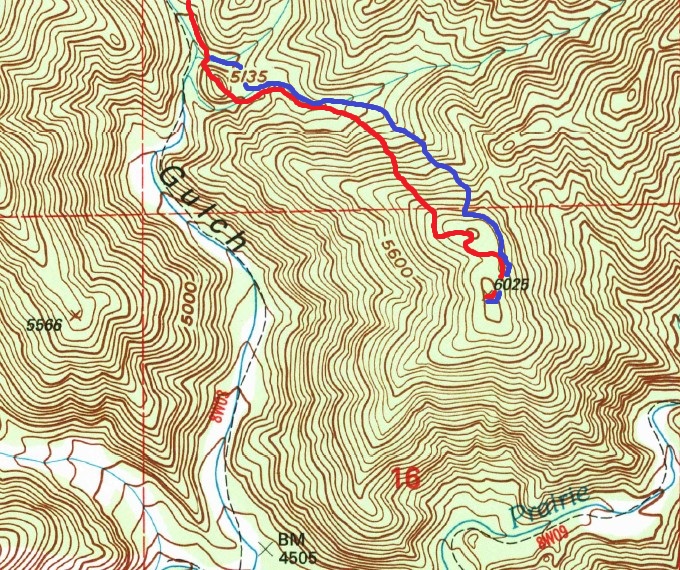
(Ascent in red; descent in blue.)
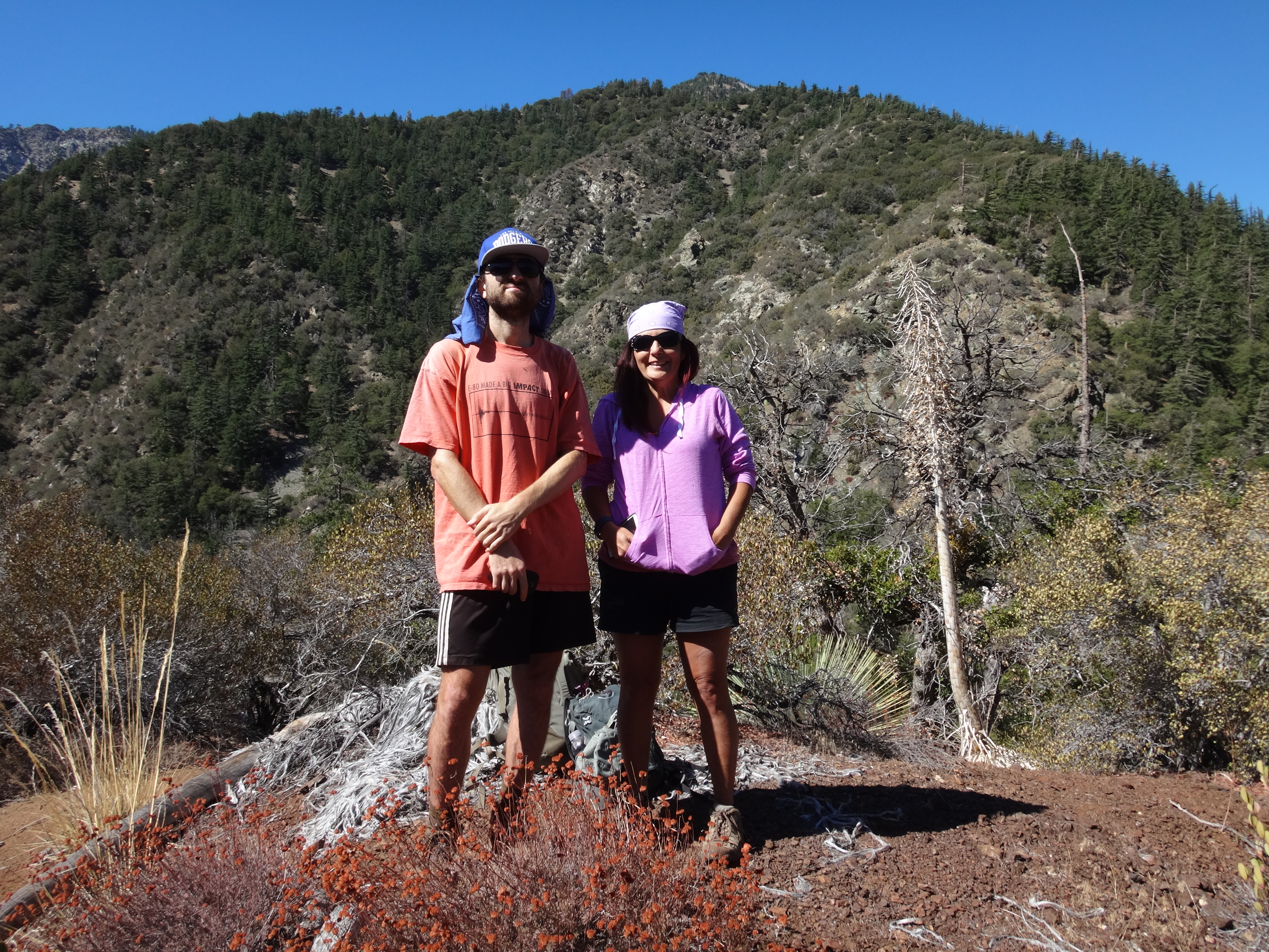
I made some hasty inquiries Saturday night. Dave ended up not being able to make it the following morning. But Dima and Cecelia were free. So on Sunday we three drove the long drive from La Canada to Vincent Gap and started the hike in chilly, but otherwise perfect weather.
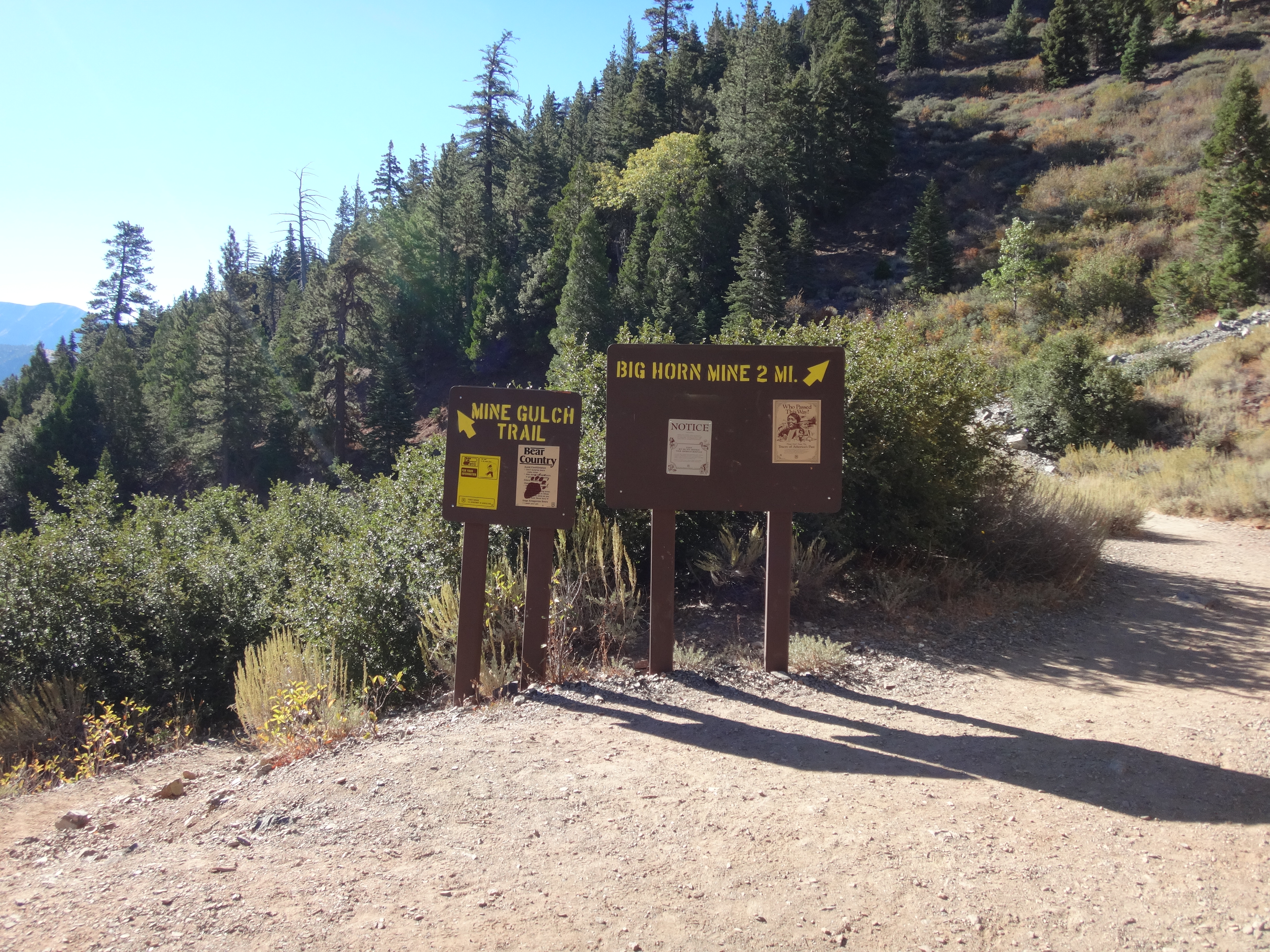
At the first split, we branched onto the Mine Gulch Trail.
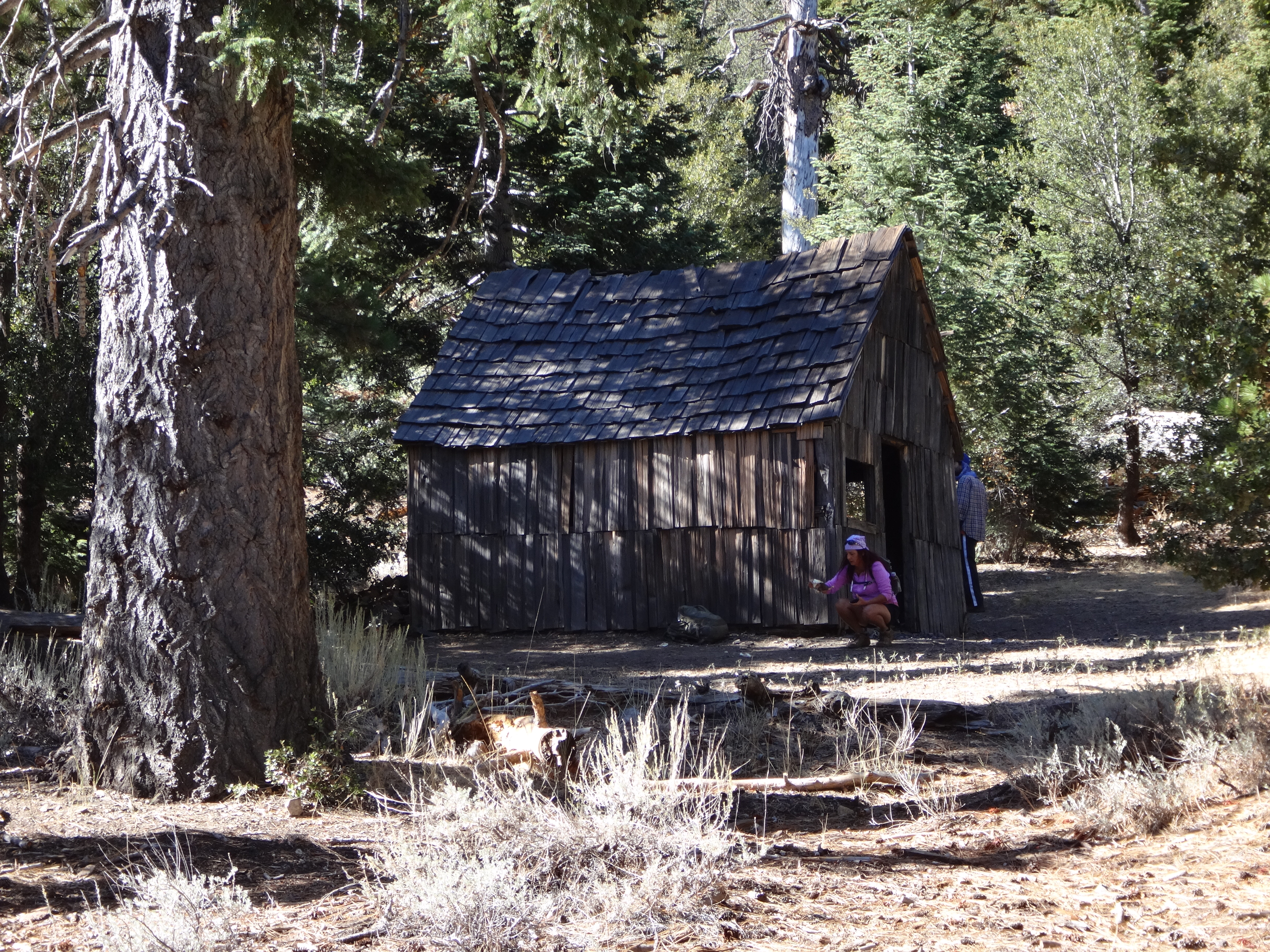
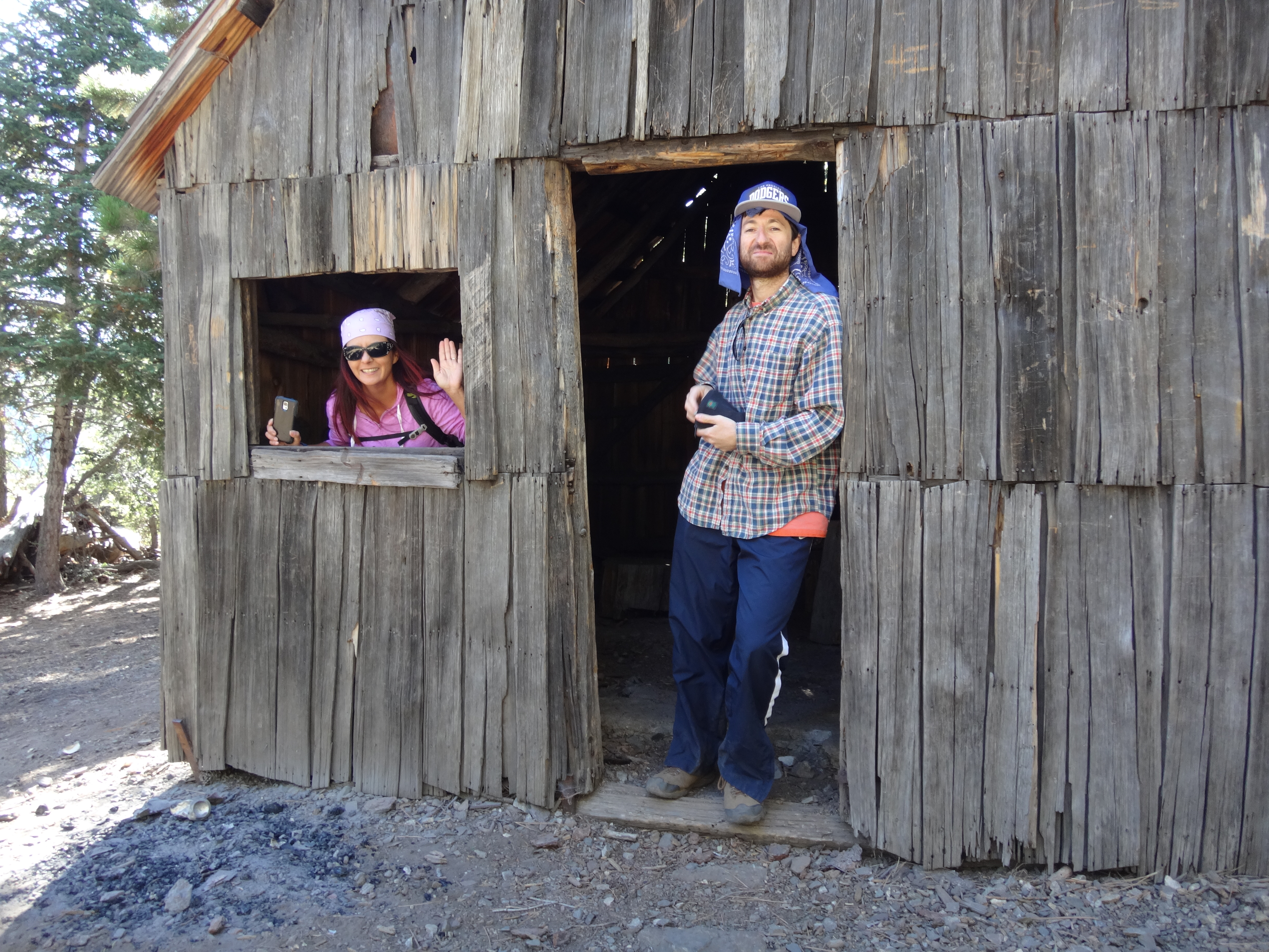
We took a slight detour to visit Vincent's Cabin.
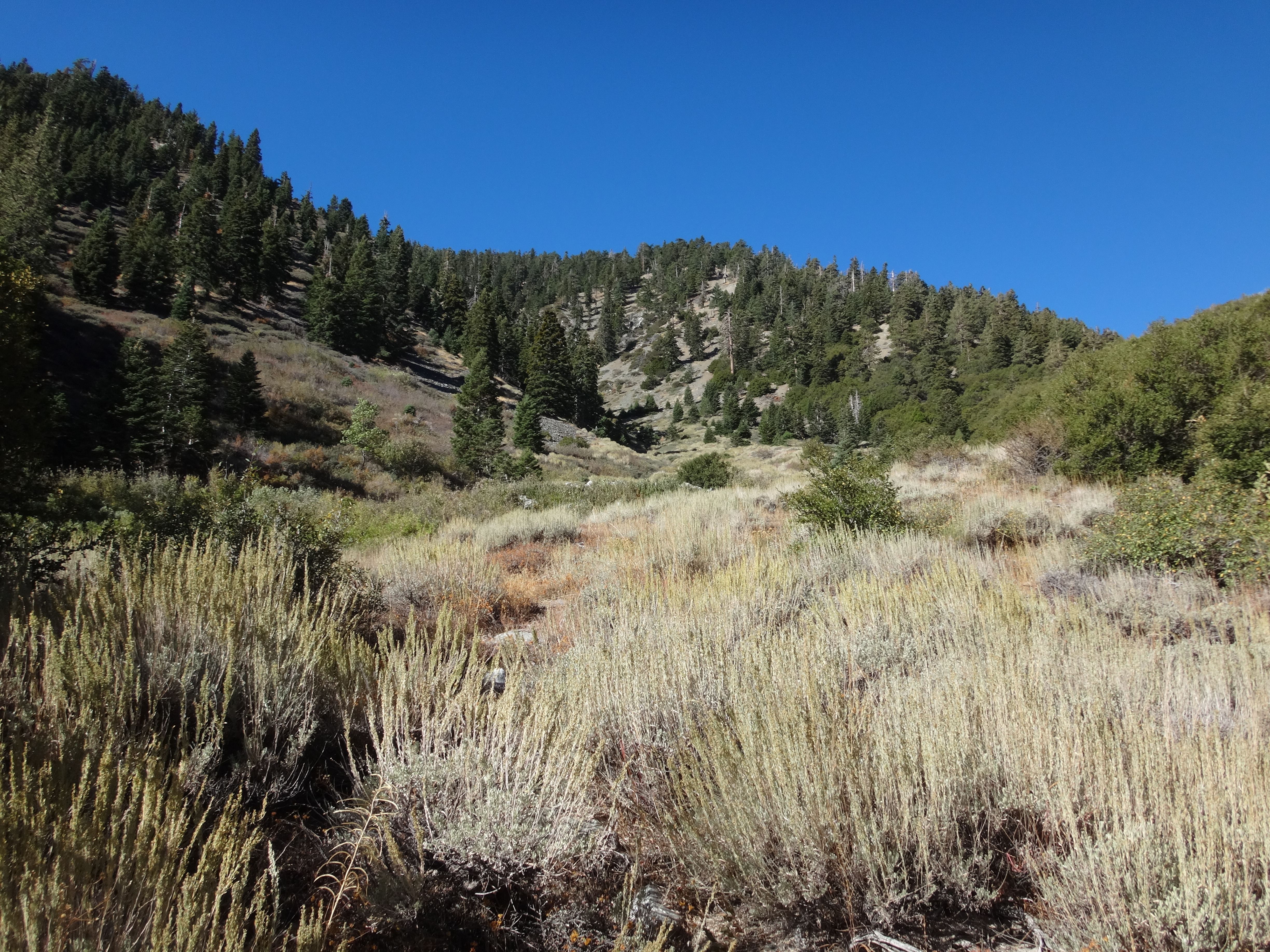
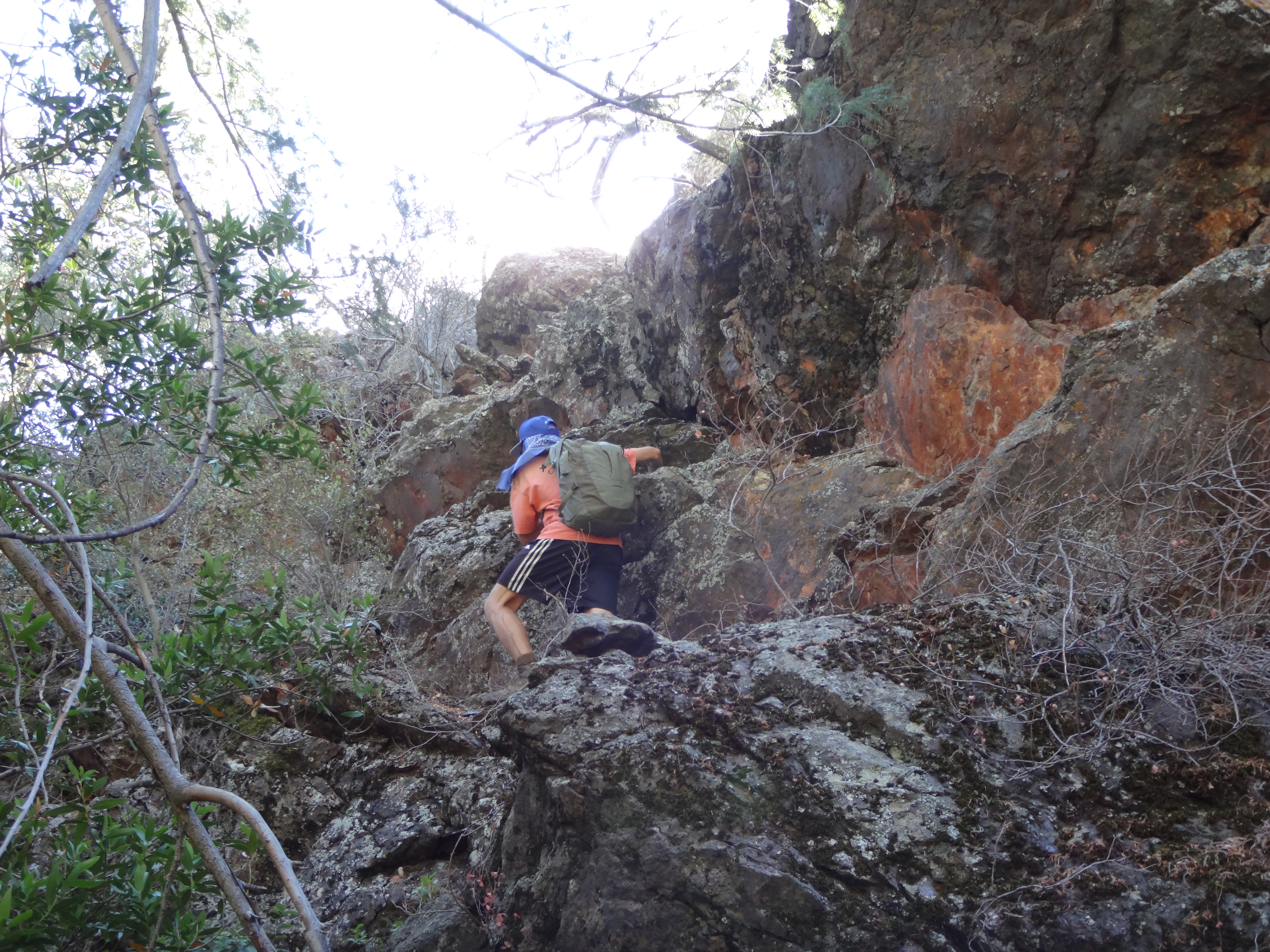
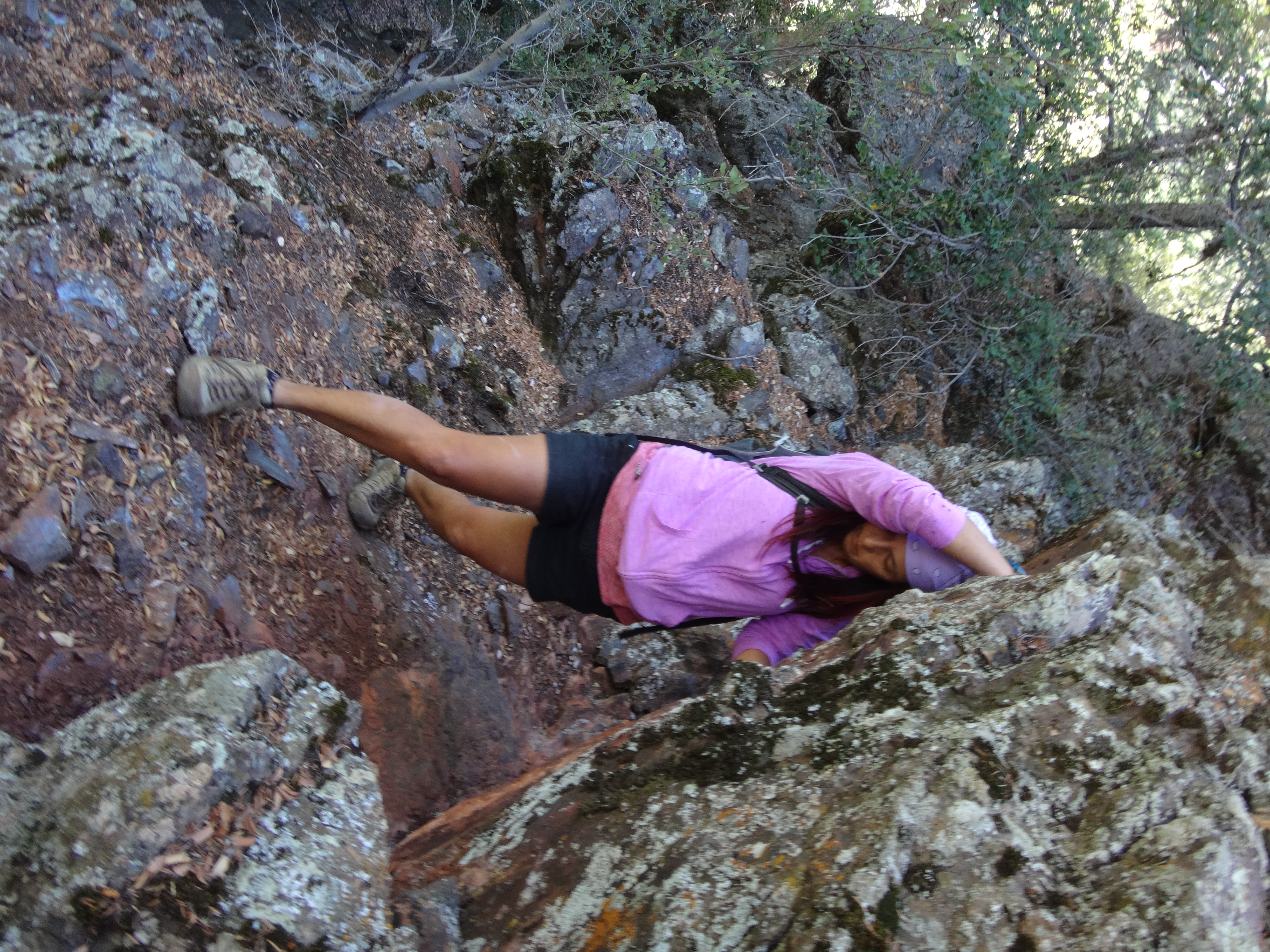
We then dropped down the shaded trail for about three miles to the base of Point 5135', to which we scrambled up through some exposed class 2/3ish rocks.
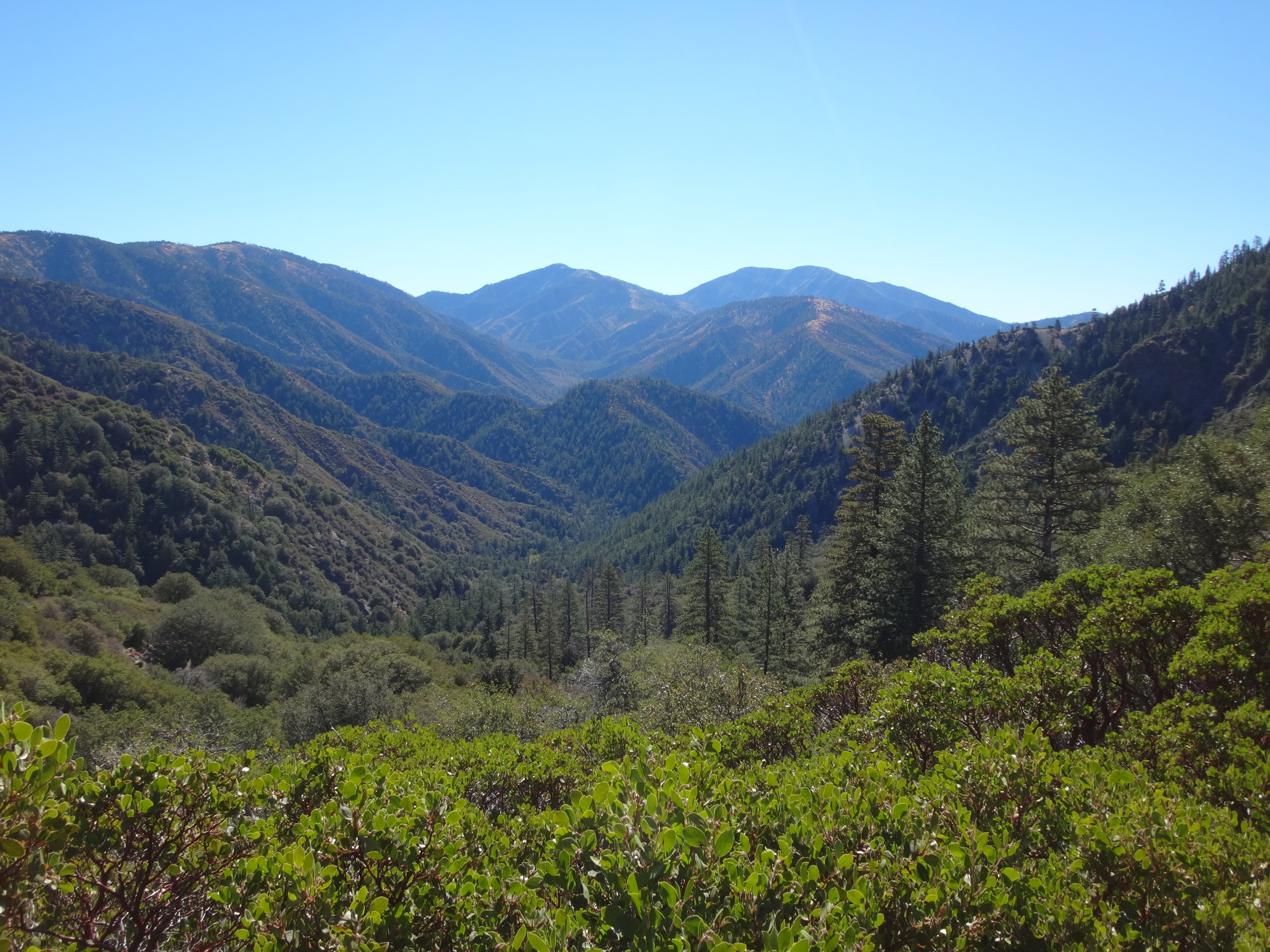
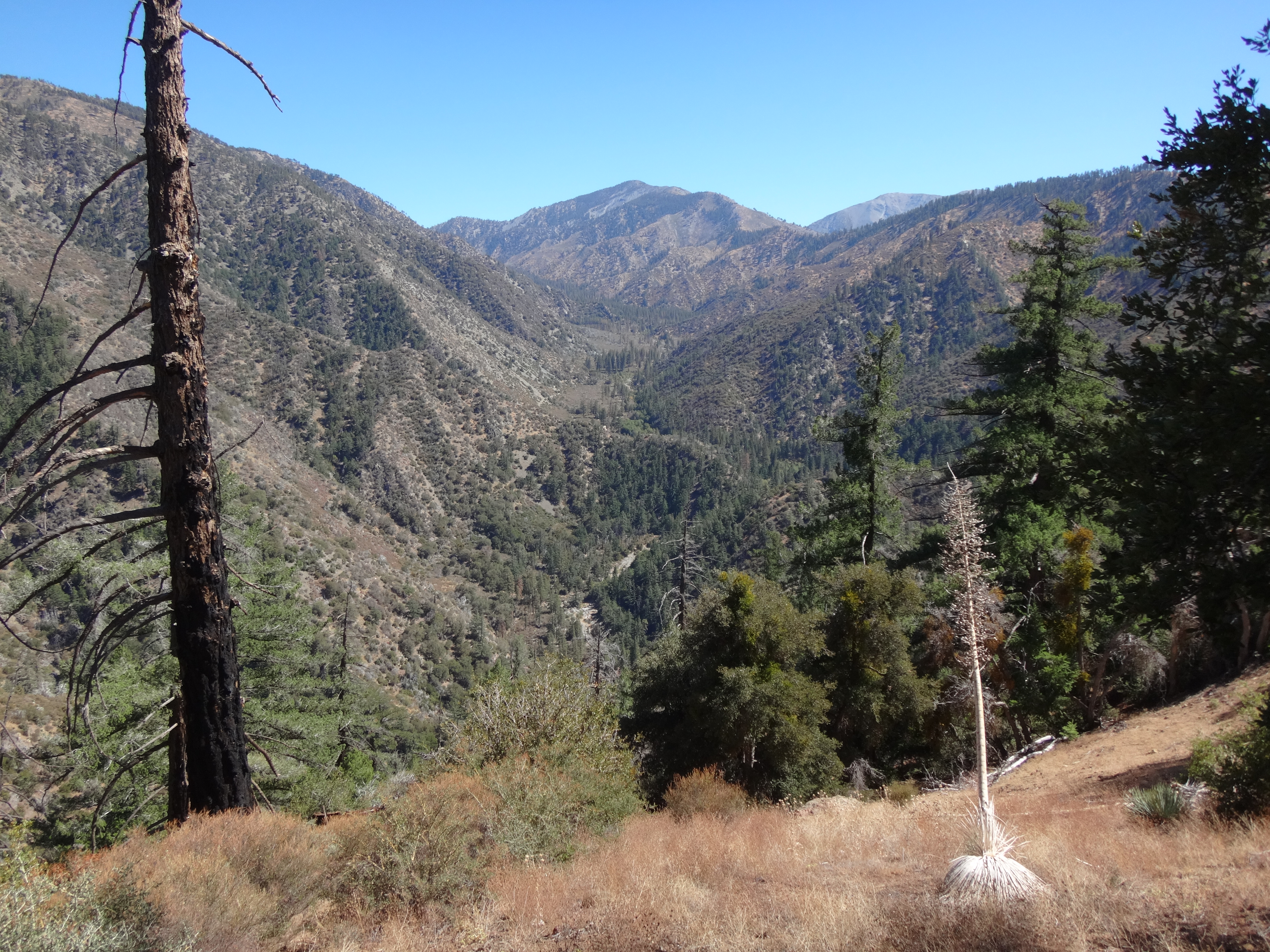
The small summit had some nice views of the surrounding tree-filled canyons.
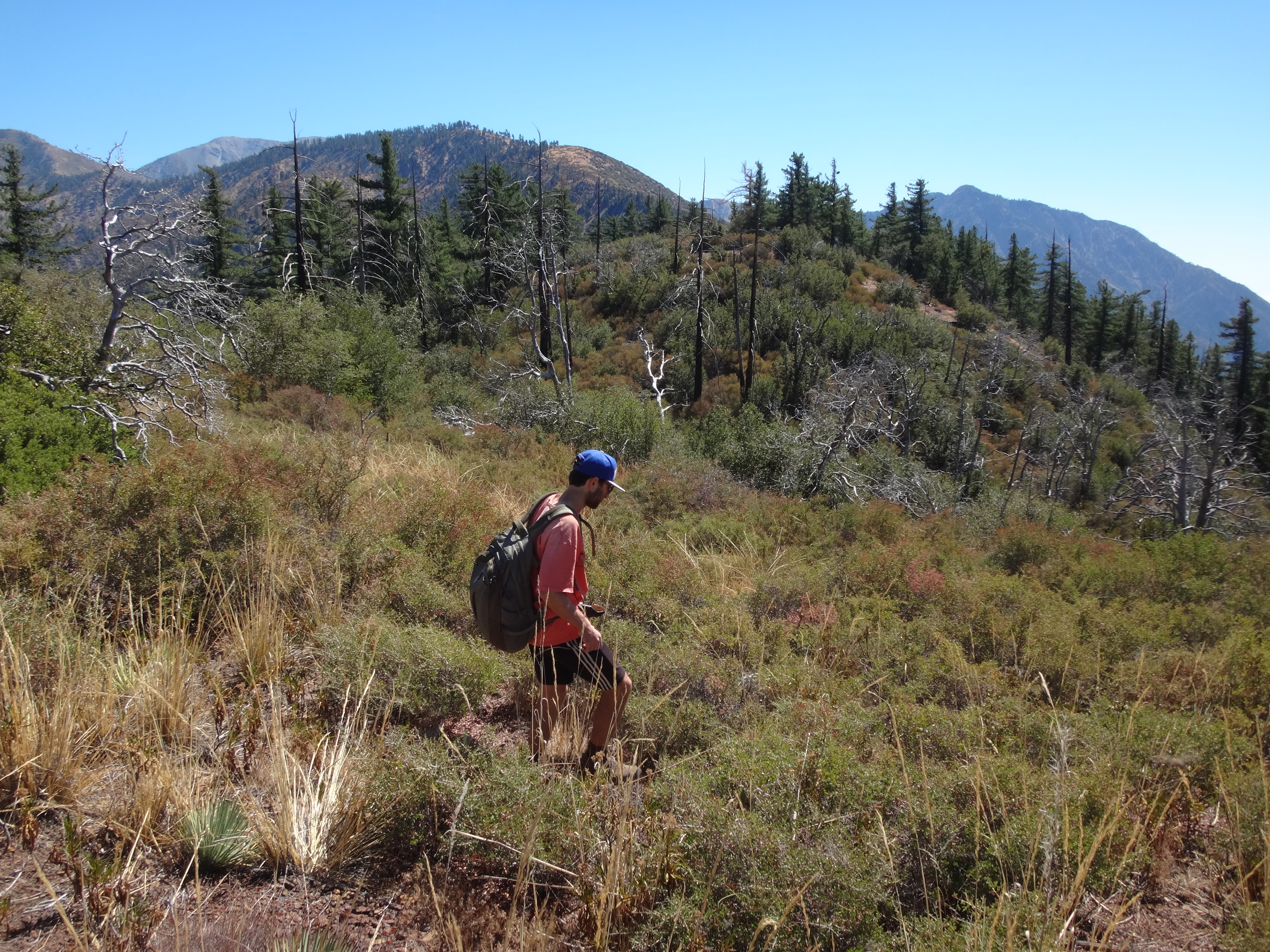
Completing the short traverse of 5135, we then plummeted down the SE slope and into our approach gully for Peak 6025'.
This gully lies generally north of 6025. It runs southwestward from 7448' on the Blue Ridge, emptying into Vincent Gulch along the southern base of Point 5135.
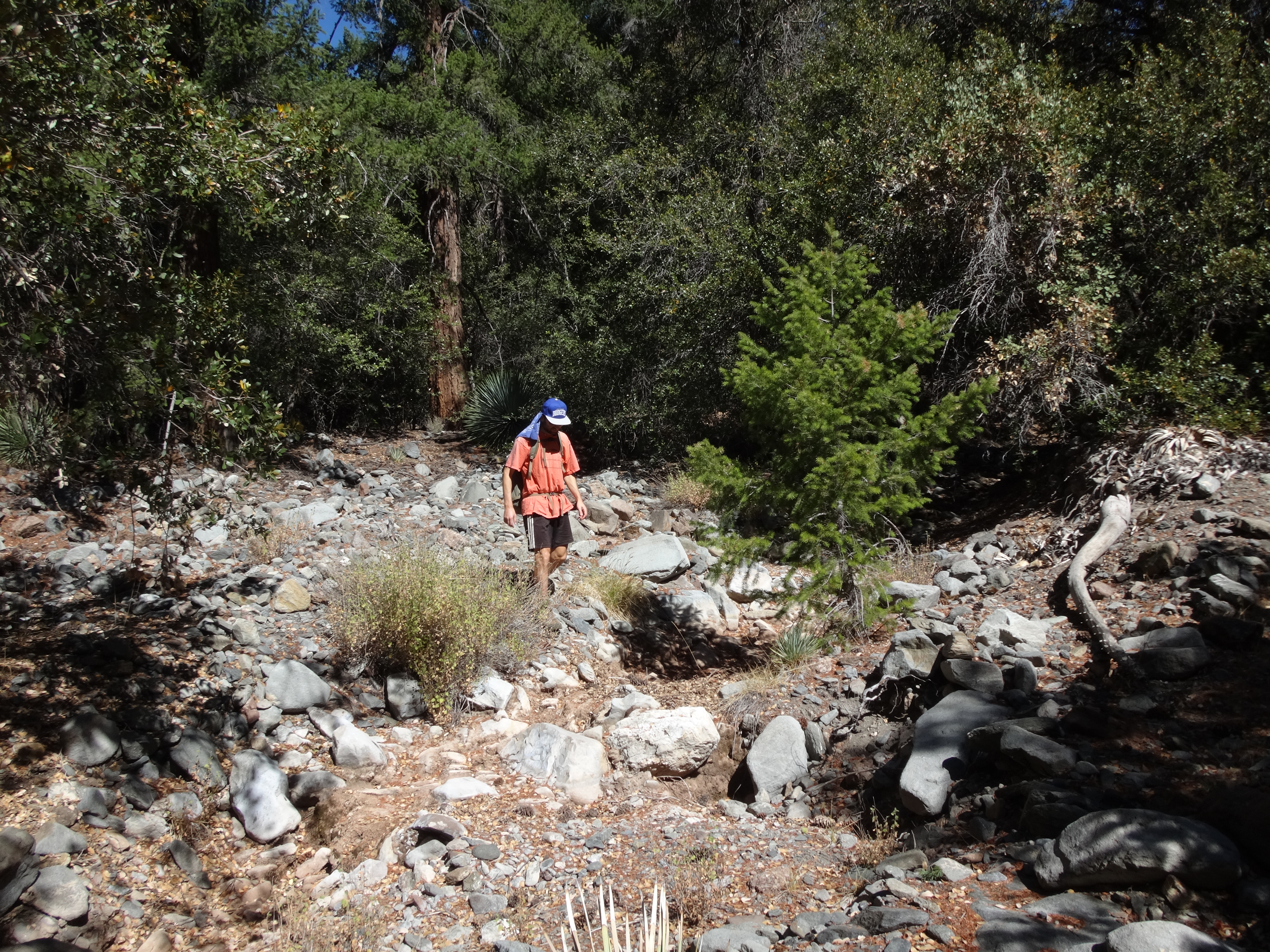
The gully was mostly easy to walk, though some poison oak patches got in the way. After a quarter-mile of cross-country in the gully, we started up the northwest slope of 6025.
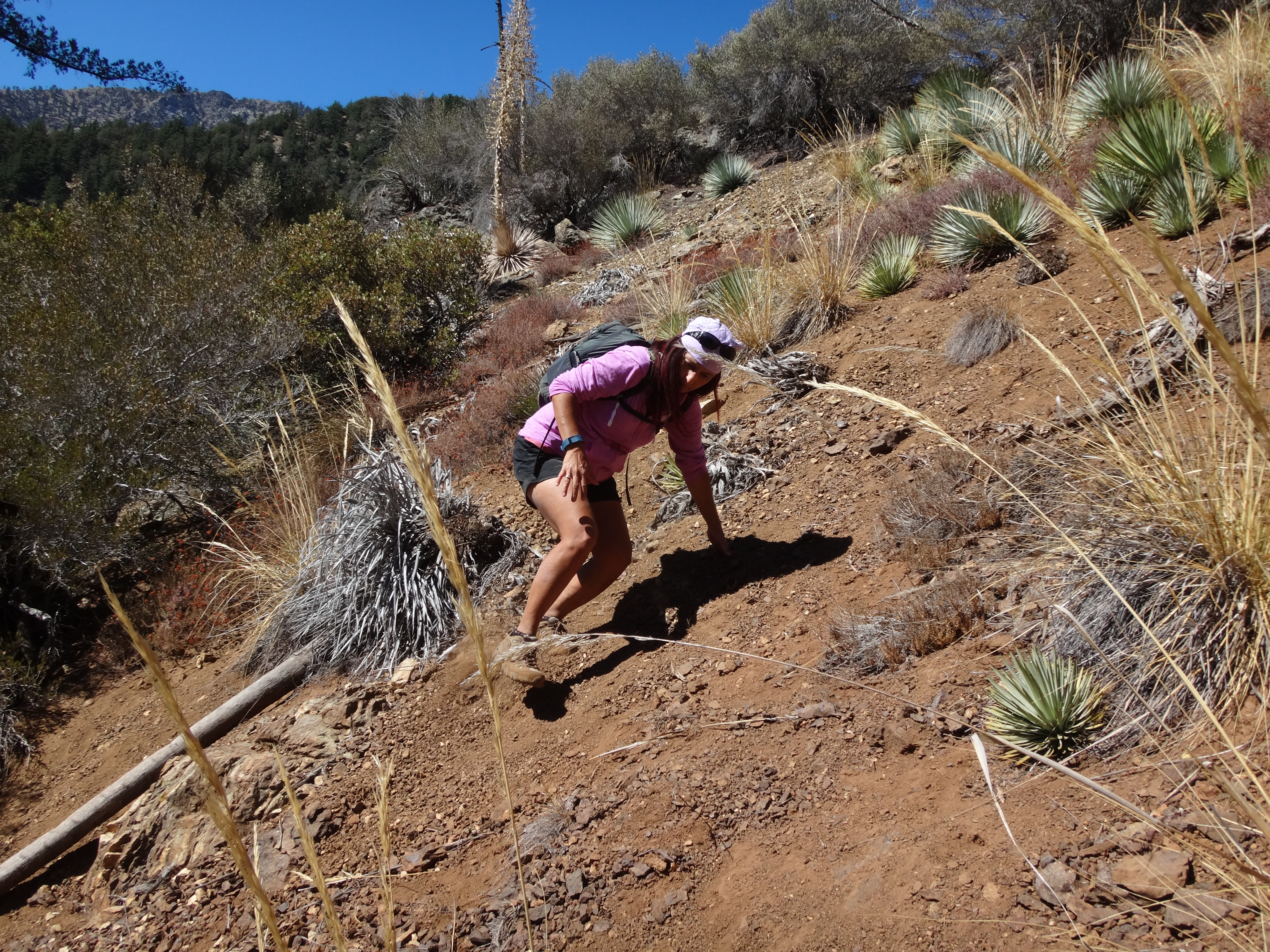
Depending on how much you zig-zag, this is an 850-foot climb in about 0.4 miles. Much of which involves very steep angles on slippery, compacted soil. Frequently, all four limbs were employed to maintain balance.
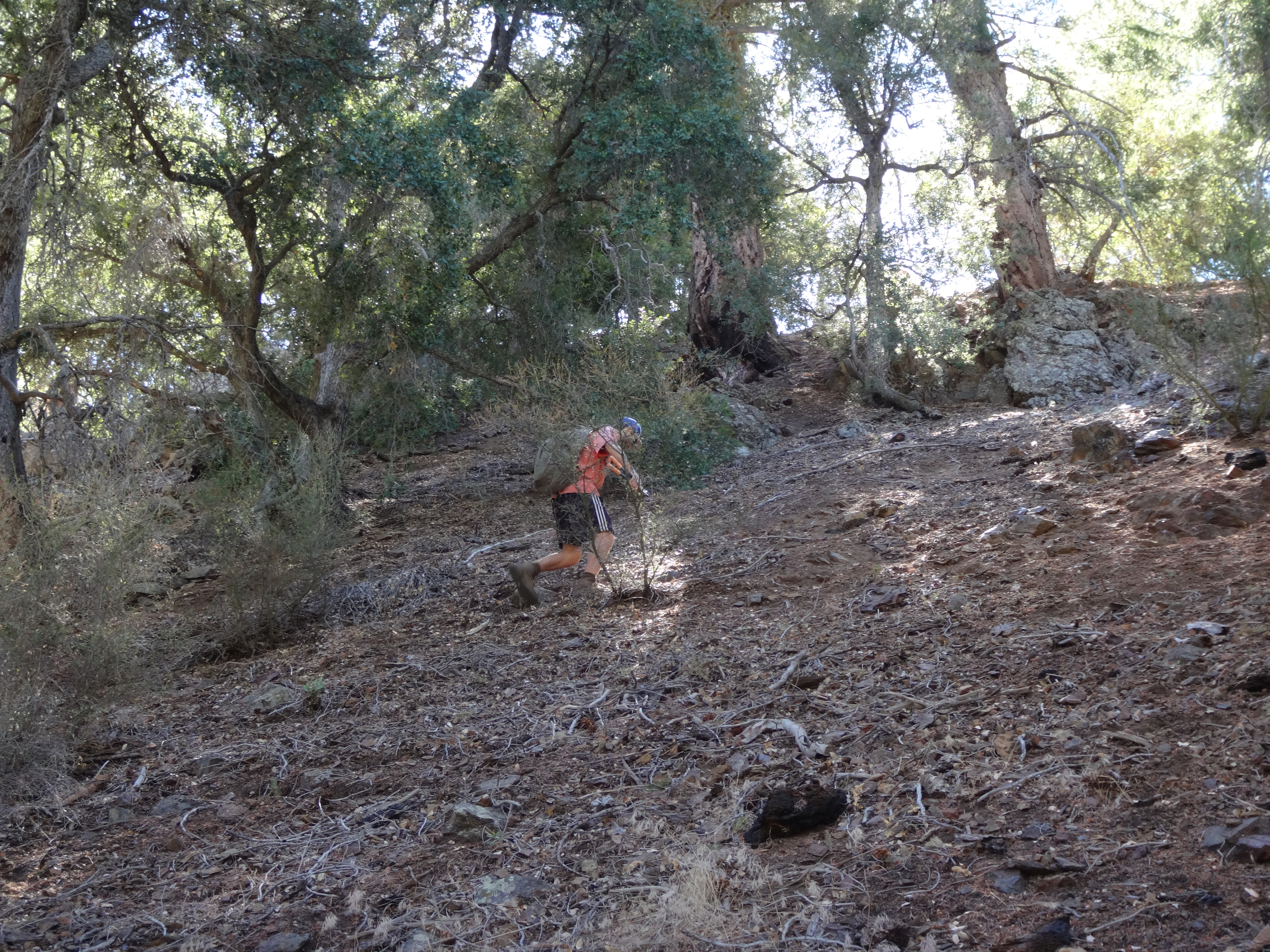
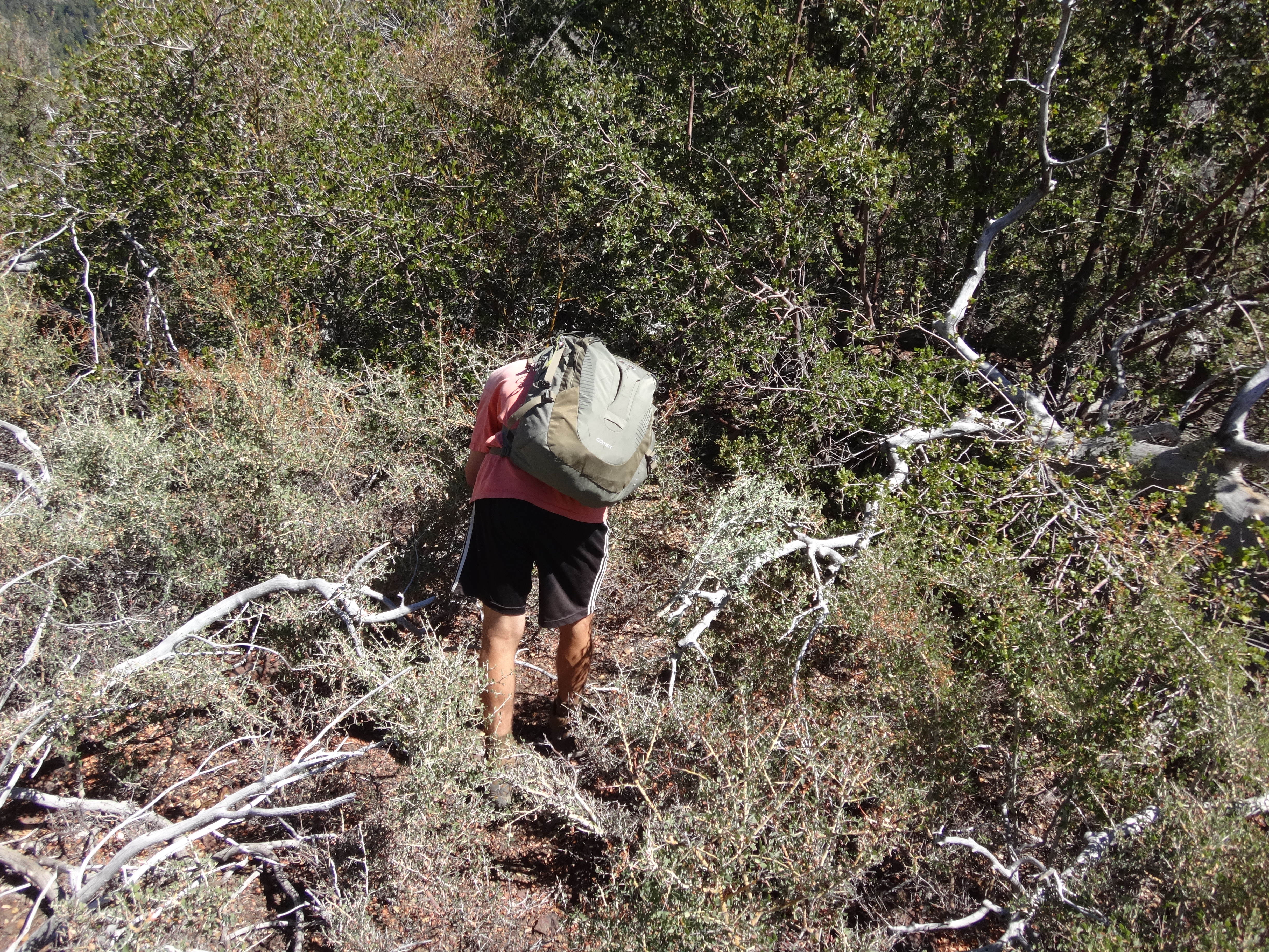
Eventually we reached the elongated summit area. However, there was a small, false bump before the measured one, and it was thoroughly covered in thorny plants.
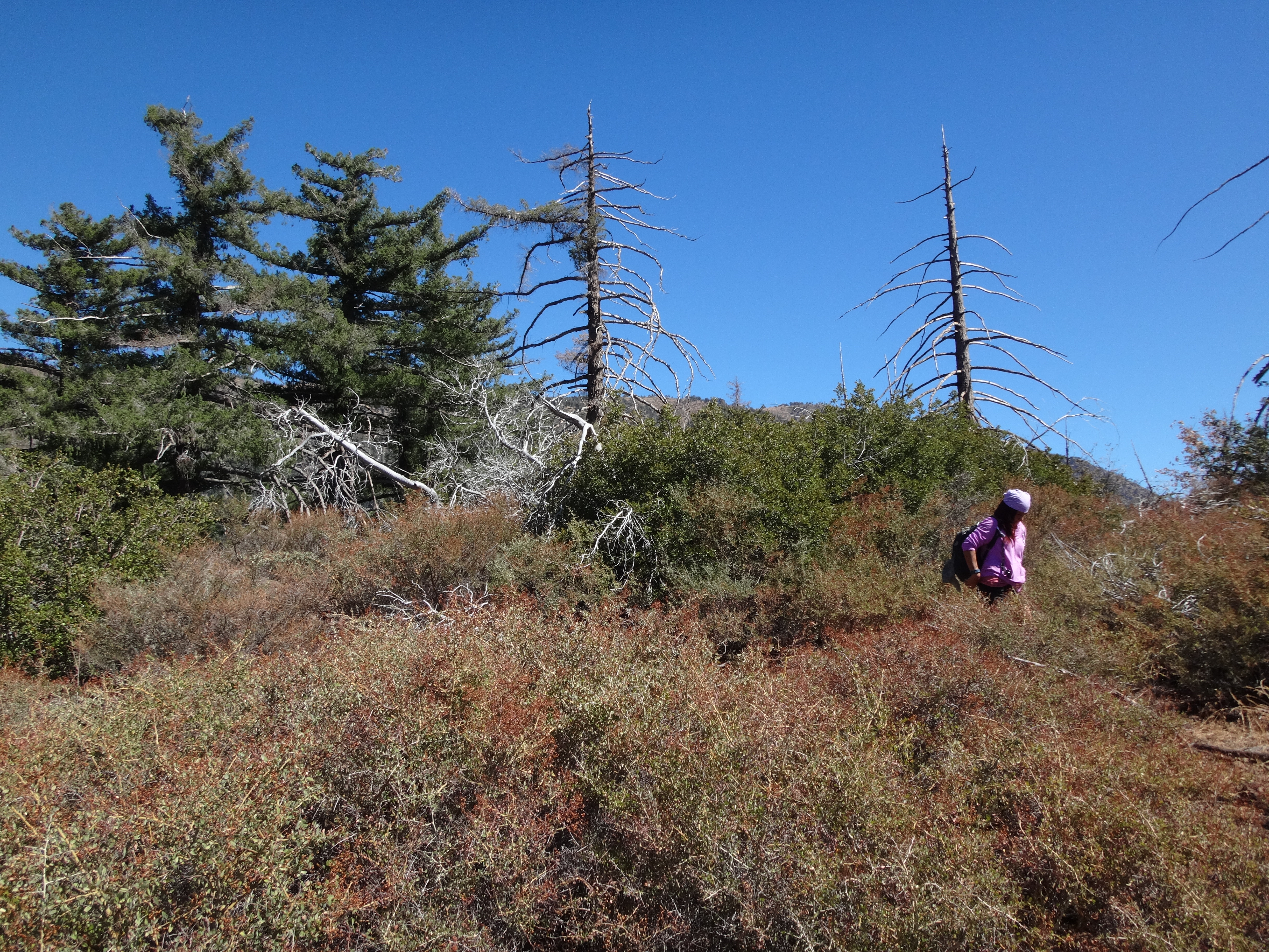
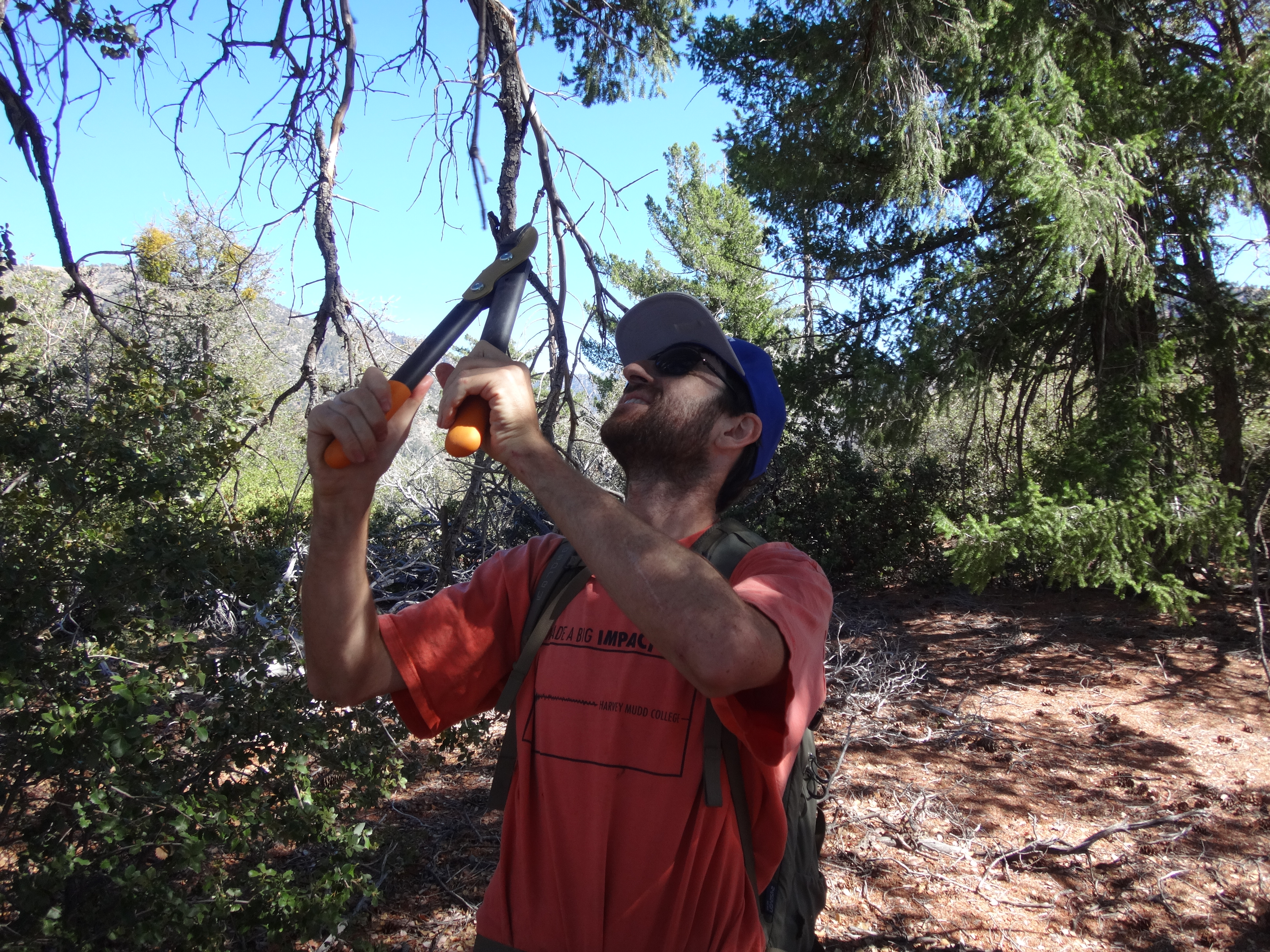
Dima blazed a rough passage through the mess with his handy loppers. We could see our ultimate destination just across the field of thorns.
After listening to Cecelia painfully curse the thorns for several minutes, I suggested that we aim for a row of pines on the east side of the peak, figuring that the evil bush would be less menacing underneath tall trees. Thankfully, this idea actually worked and we found a clear path on that side--in addition to a great view up Prairie Fork.
There was a nice flat spot on the summit with shade provided by a circle of trees. A long, 2x2-inch wooden post had been abandoned on the ground. It was probably ten feet tall. We speculated that it might have been used by surveyors to assist in measuring the peak ages ago.
While Dima looked around for things to lop,
I busied myself by gathering rocks for a summit cairn. We had packed in a register and placed it in the cairn.
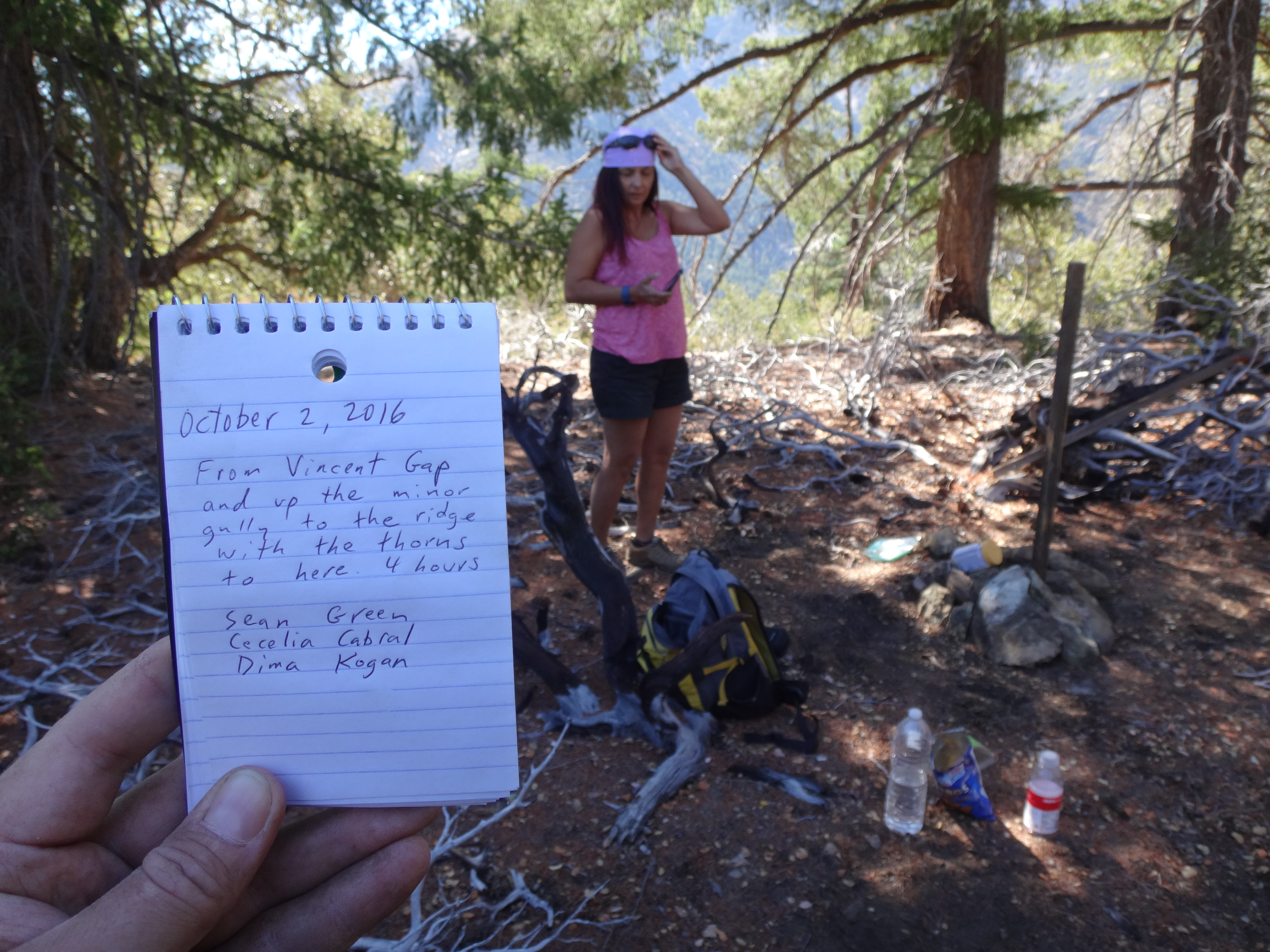
Several names for the peak were suggested. Ultimately we settled on Gulch Merge Peak, because it dominates the small area where Vincent Gulch, Mine Gulch, and Bear Gulch all merge into Prairie Fork.


