Let's try it...
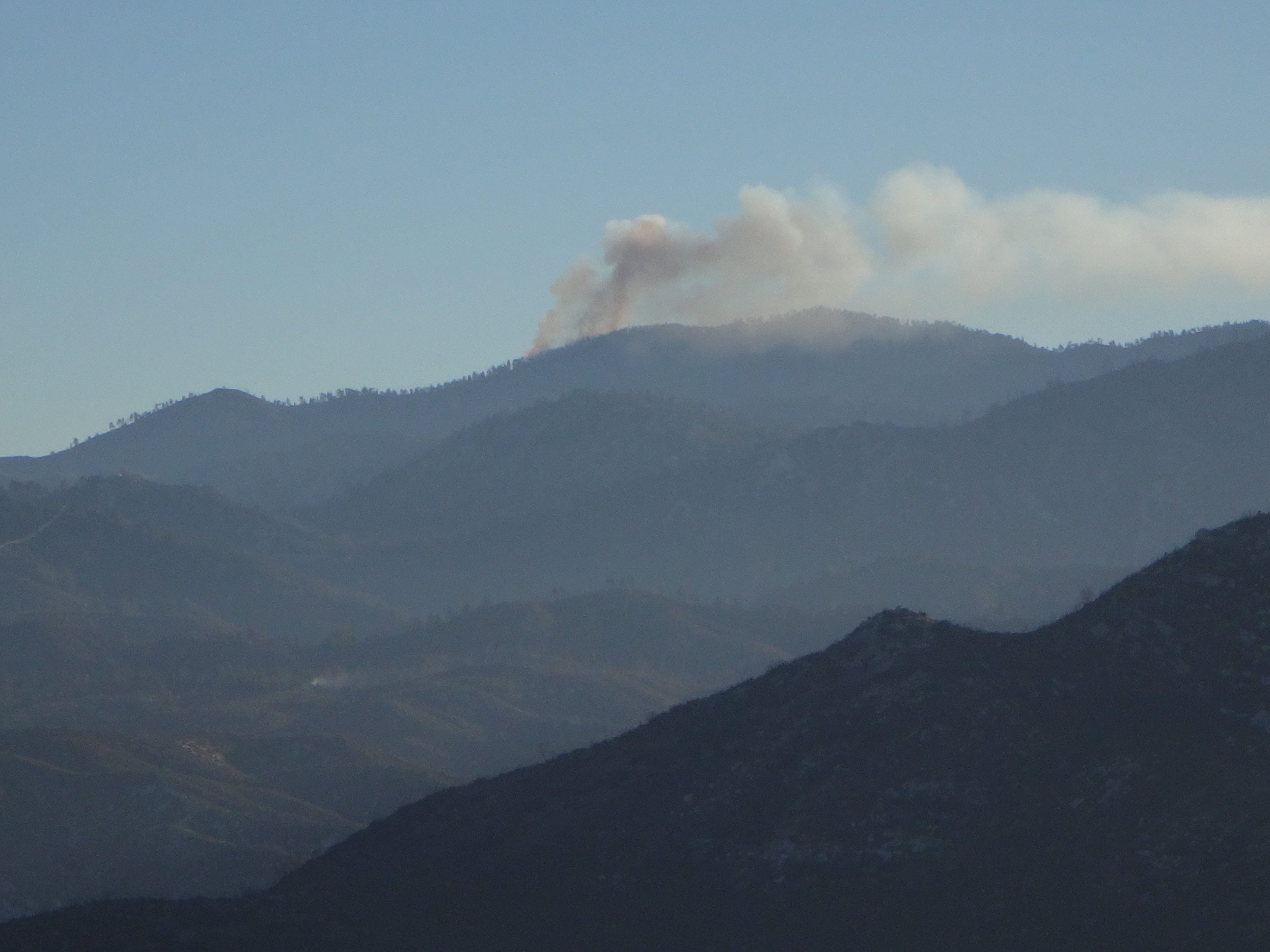
I woke up early on Labor Day Monday, not to recite mantras, but to drive up the Angeles Crest Highway. On my bucket list happened to be Barley Flats, along with a couple roadside benchmarks. Around sunrise I flopped out of my car into the chilly 50-degree mountain air. Having exited the marine layer around Los Angeles, the atmosphere above Upper Big Tujunga was simply gorgeous, despite a small wildfire brewing in the distance near Pleasant View Ridge.
The Barley Flats Road gate invited walkers and riders, but no motor vehicles.
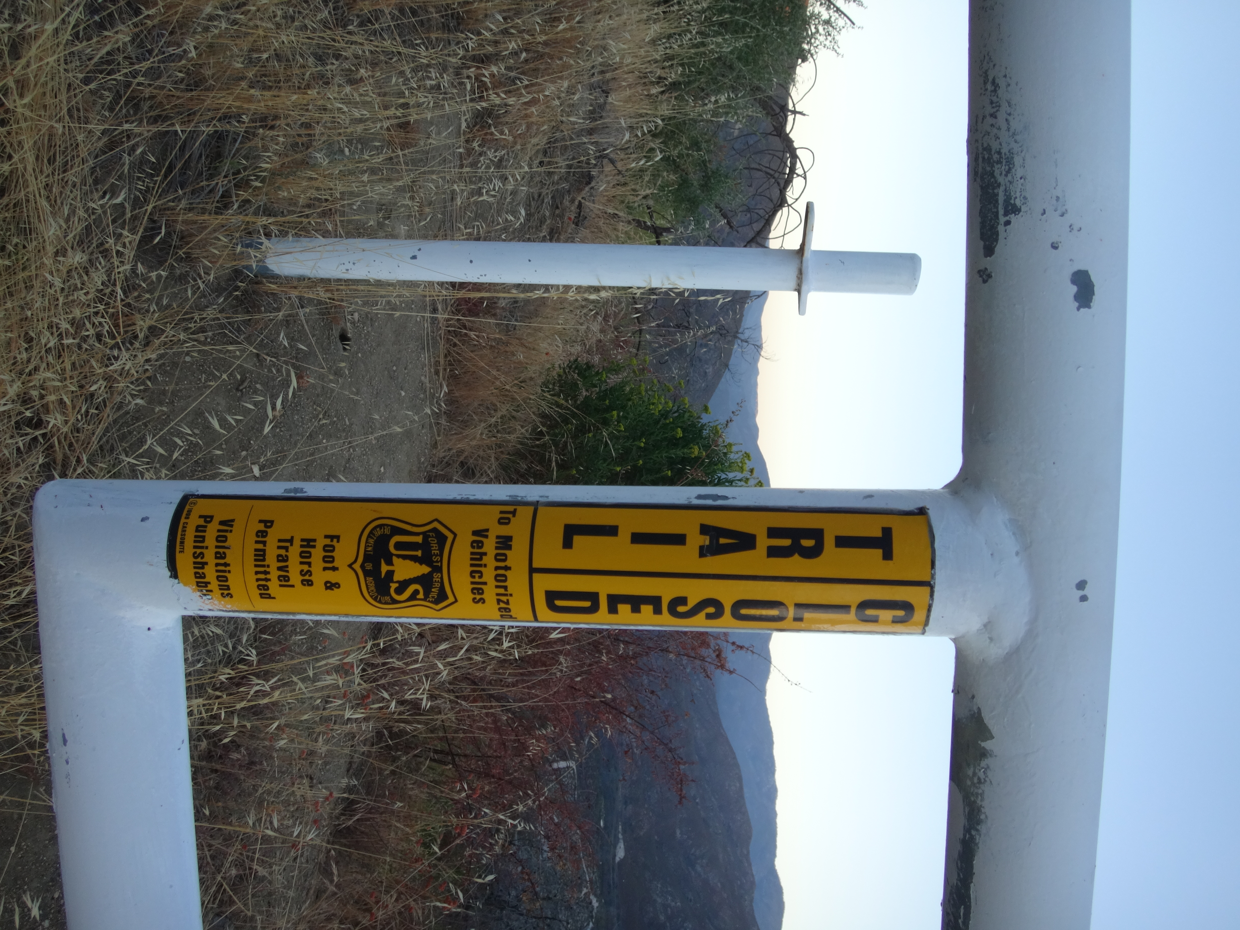
The road itself was wide and clear, with old, cracking pavement, whose edges were sometimes lined with poodle dog bushes, chainsawed tree trunks, power lines, guardrails, and various posts and signs. It was a perfect place to practice some walking meditation.
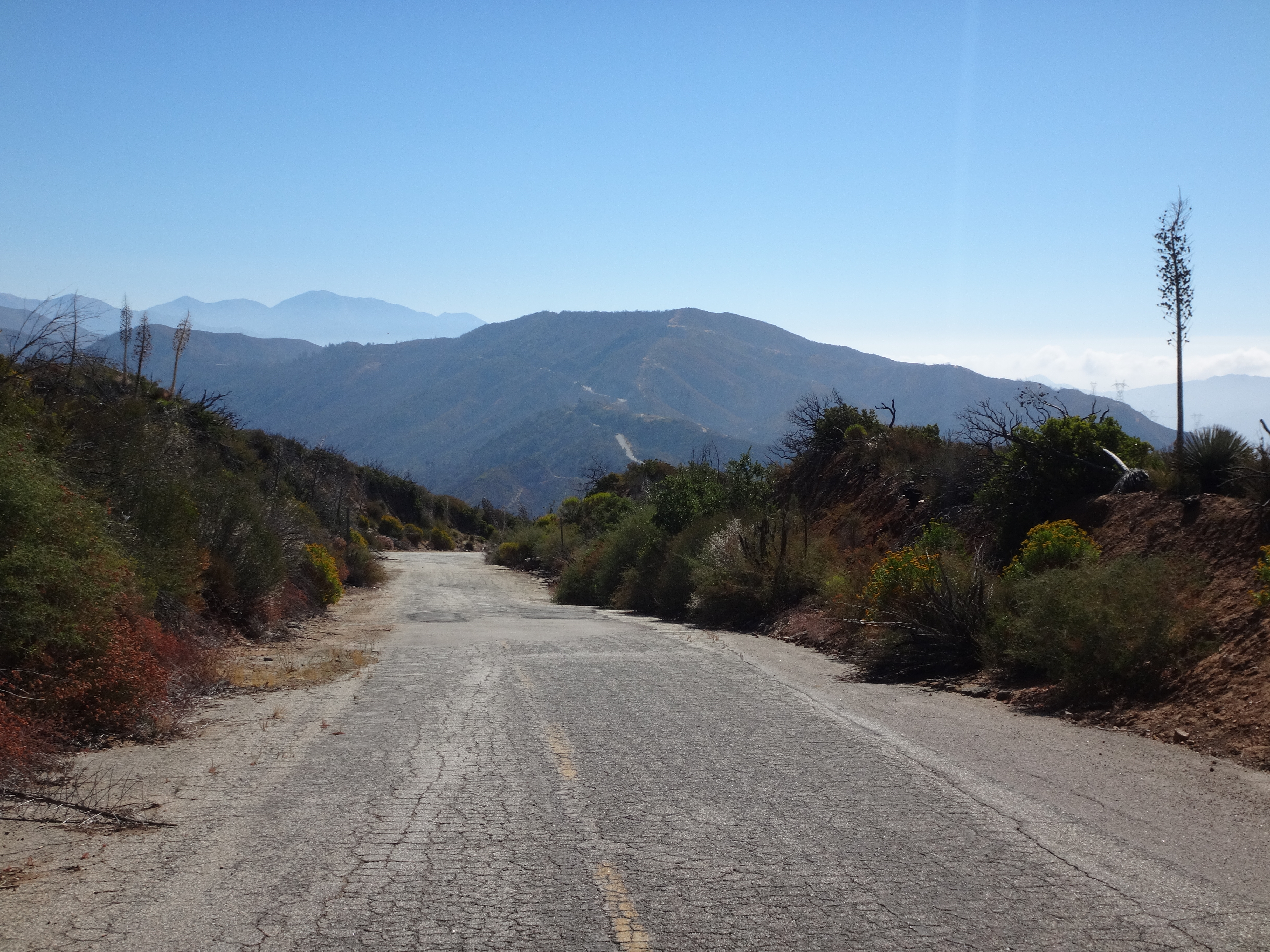
The faded, yellow center line could still be seen along some stretches of the road. It made me think about how people, even Donald Trump and Hillary Clinton, need a center line to follow. Stray too far to the right or left, and you're likely to accept a face full of poison flowers.
Maybe you'll get lucky and only stumble over stacks of charred wood. But be very careful that you don't blindly miss the guardrail and drop off the cliffside.
Ah, only 0.3 miles up the road, and it was already time to search for a benchmark.
That is the view of the spot where I left the road. The red circle indicates a power line pole, beside which a benchmark awaits seekers. In between the road and pole much brush requires pushing aside.
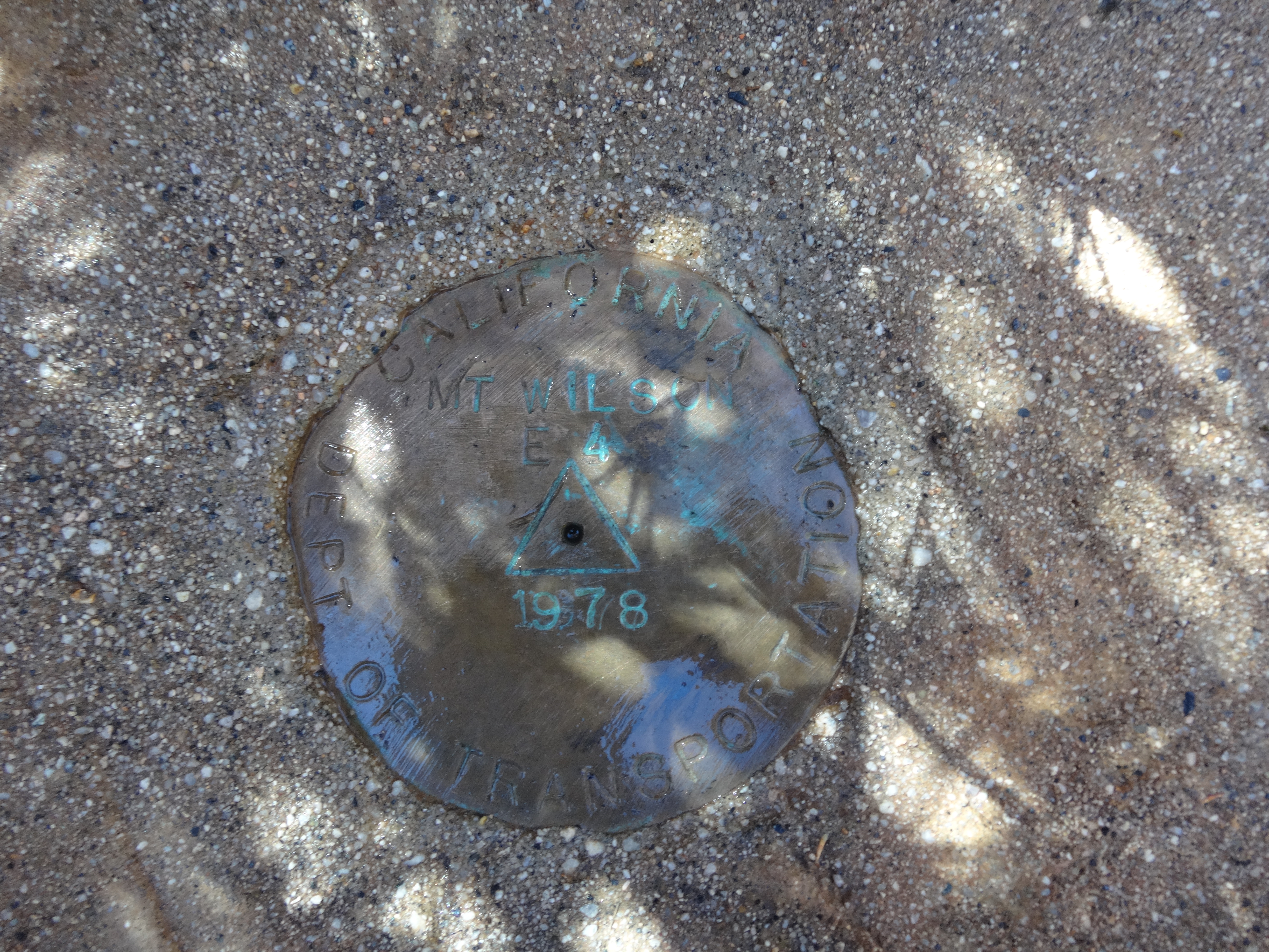
The DOT benchmark sat in a square, concrete monument. It was stamped "MT WILSON E 4" and dated 1978.
Considering the name of the mark, my Zen imagination figured that this spot was used to measure the height of Mt. Wilson, seen directly across the canyon. It was a fine enough view, but one that I'll leave to the reader's own Zen imagination.
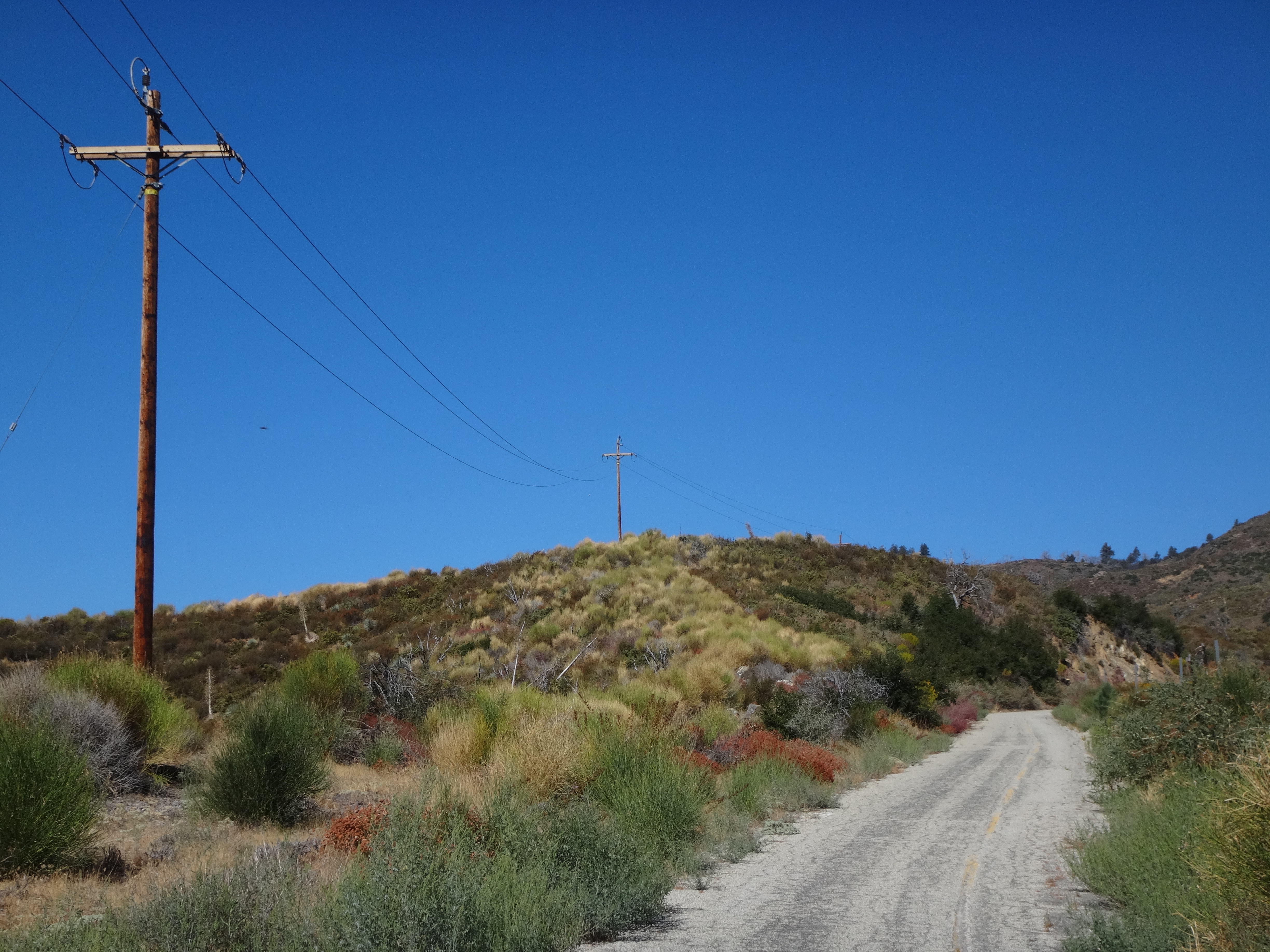
Back on the open road, I pushed another 1.8 miles, to the west side of Peak 5499', allegedly (according to the USGS Topo) home to the Thorn Benchmark.

It took some searching, but I detected a faint deer path through some initially thick brush. The trail then led me up the west slope, gaining 120 feet to the summit.
The top offered nice views all around, including the small grove of pines at nearby Barley Flats. A few small trees of its own provided spaces to sit, relax, and enjoy a snack. In plain view all I found were a small cairn and a toppled triangular sign.

I leaned the sign against one of the trees and began an earnest search for the benchmark. Having done this before on other obscure peaks, and having learned a few tricks, I thoroughly investigated under boulders and peered into bushes. But after fifteen minutes of frustration, I asked myself, "What would Buddha do?" I supposed that he'd sit on his lazy ass and dream up some nonsense, which could be relaxing, but certainly wouldn't be helpful. Then, just to be fair to other religious figureheads, I asked, "What would Jesus do?" Hmm, I guessed that he'd probably turn the other cheek, but what would that accomplish? Finally I prayed to Satan, who suggested that I eat some fruit.
Twenty minutes of this, and I was nearly ready to call it quits. Not only on benchmark hunting, but on life in general. Then there was something. Something among a pile of old branches, slightly off the edge of the summit. It was a small concrete pillar, resting peacefully, half-buried in the dirt.
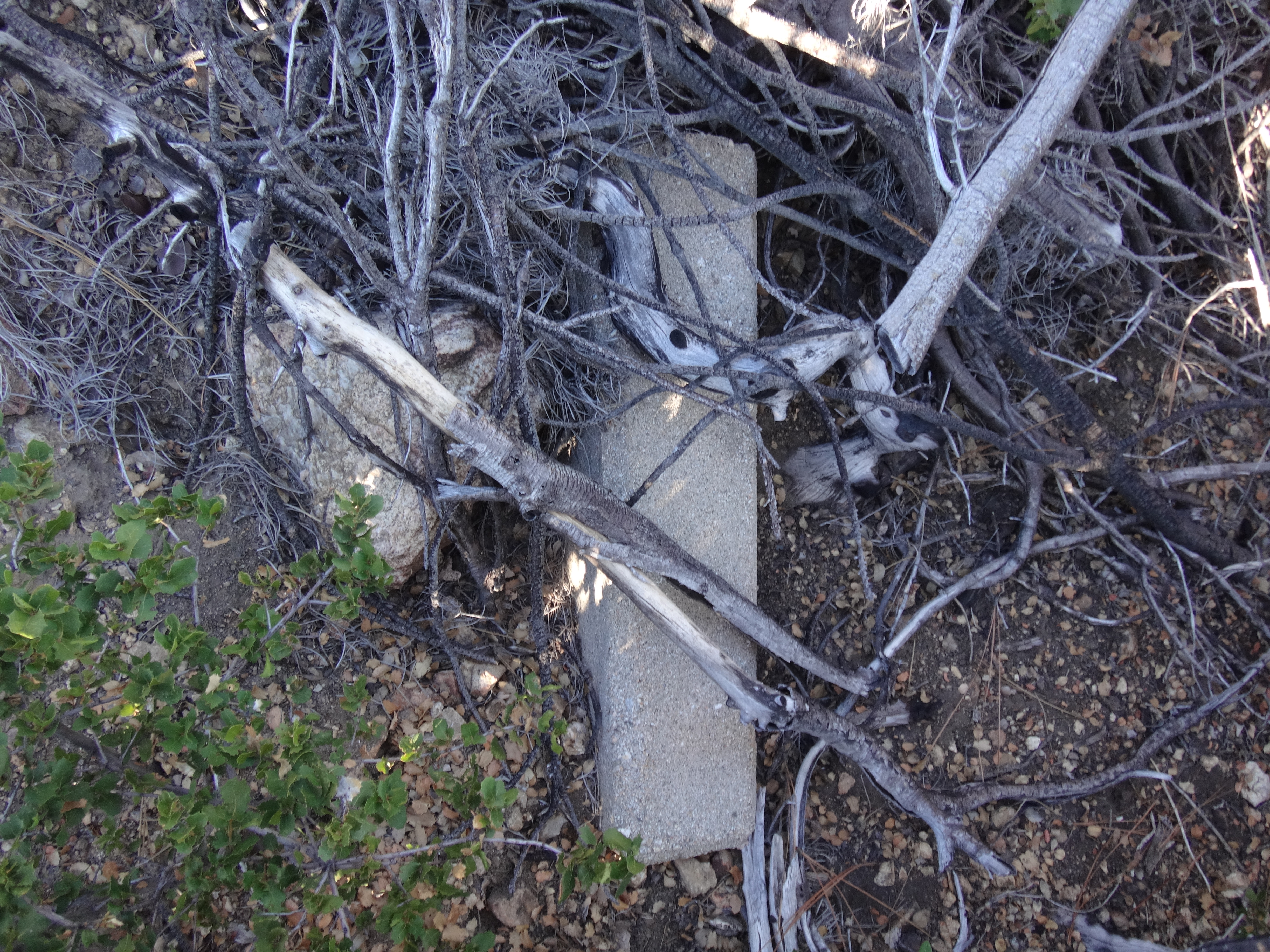
And what was that on one end of it?
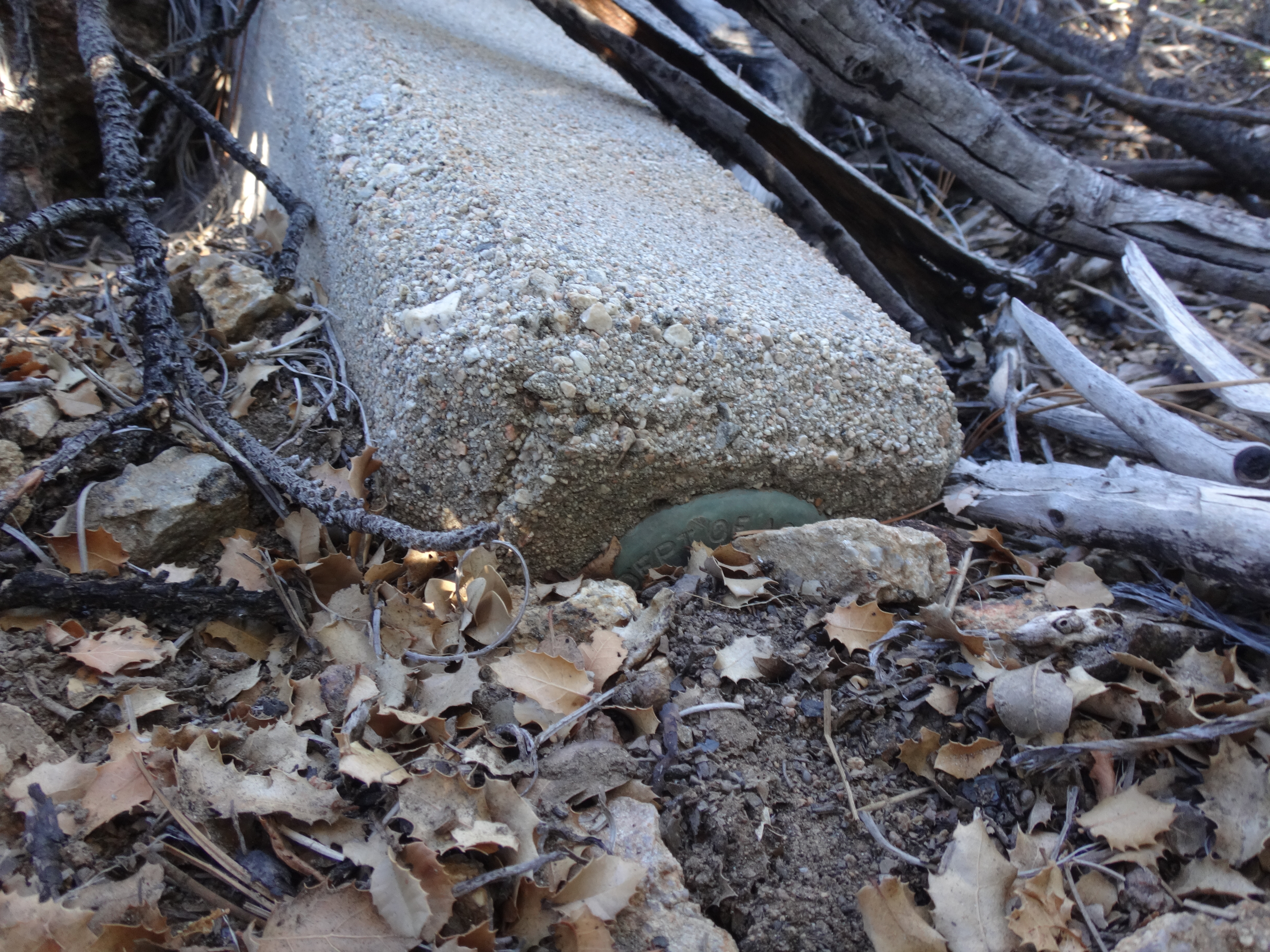
It appeared that one of my many spiritual appeals had actually worked. But which fantastic god had answered the inquiry? Perhaps I'll never know. And like G.I. Joe says, "Not knowing is half the battle."
The next ten minutes involved little rumination and more physical exertion, as I struggled to extract the heavy monument from nature's embrace, carefully push it end-over-end up the slope, and ultimately set it upright next to a tree on the summit.
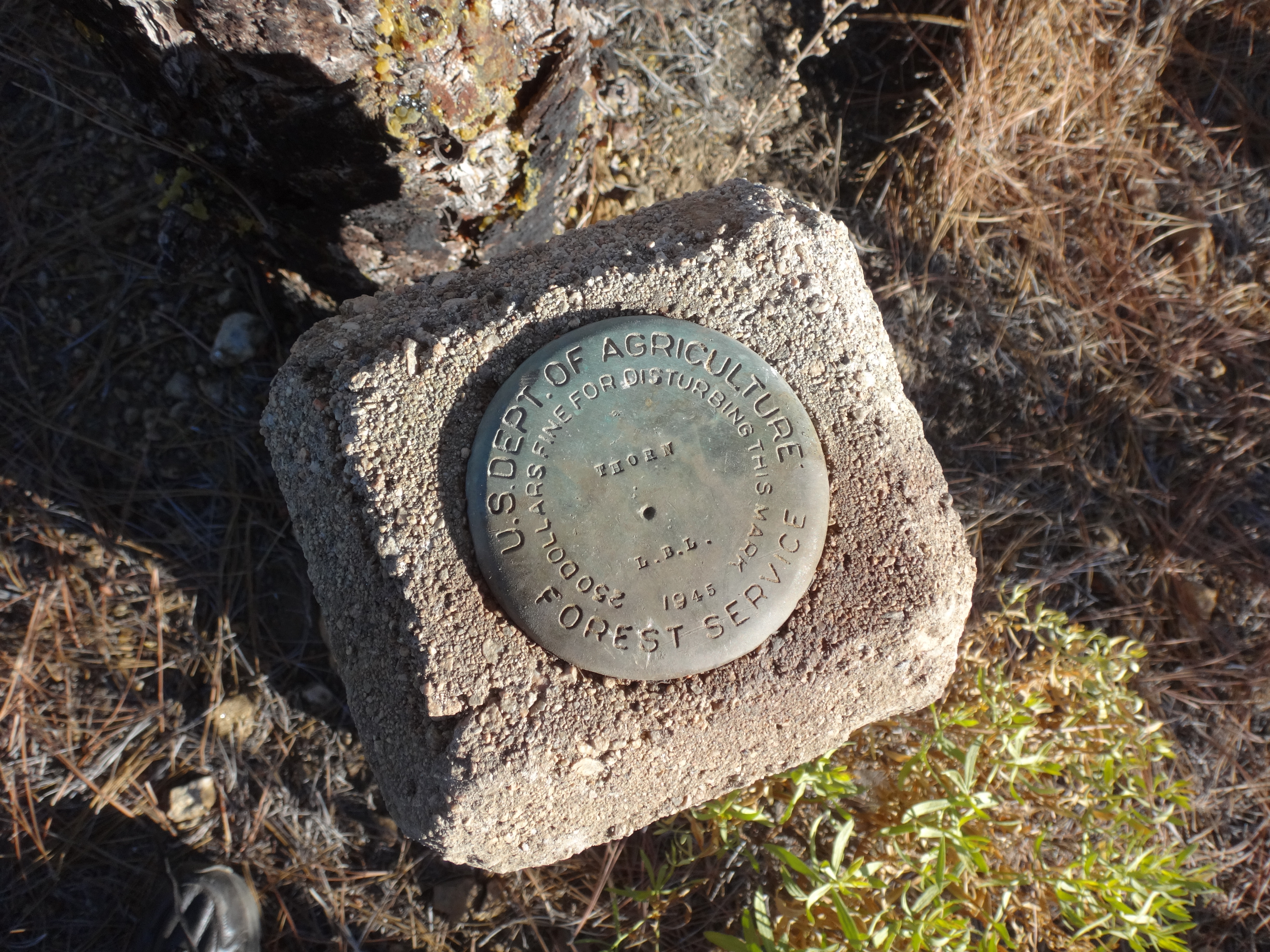

(Triangular sign leans against first tree, while the Thorn benchmark pillar stands aside the third.)
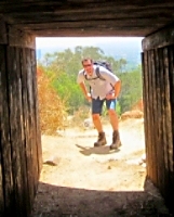
Feeling now like I achieved my purpose for the day, a visit to Barley Flats would serve as mere bonus points. At the entrance gate a curious deer stood watch.
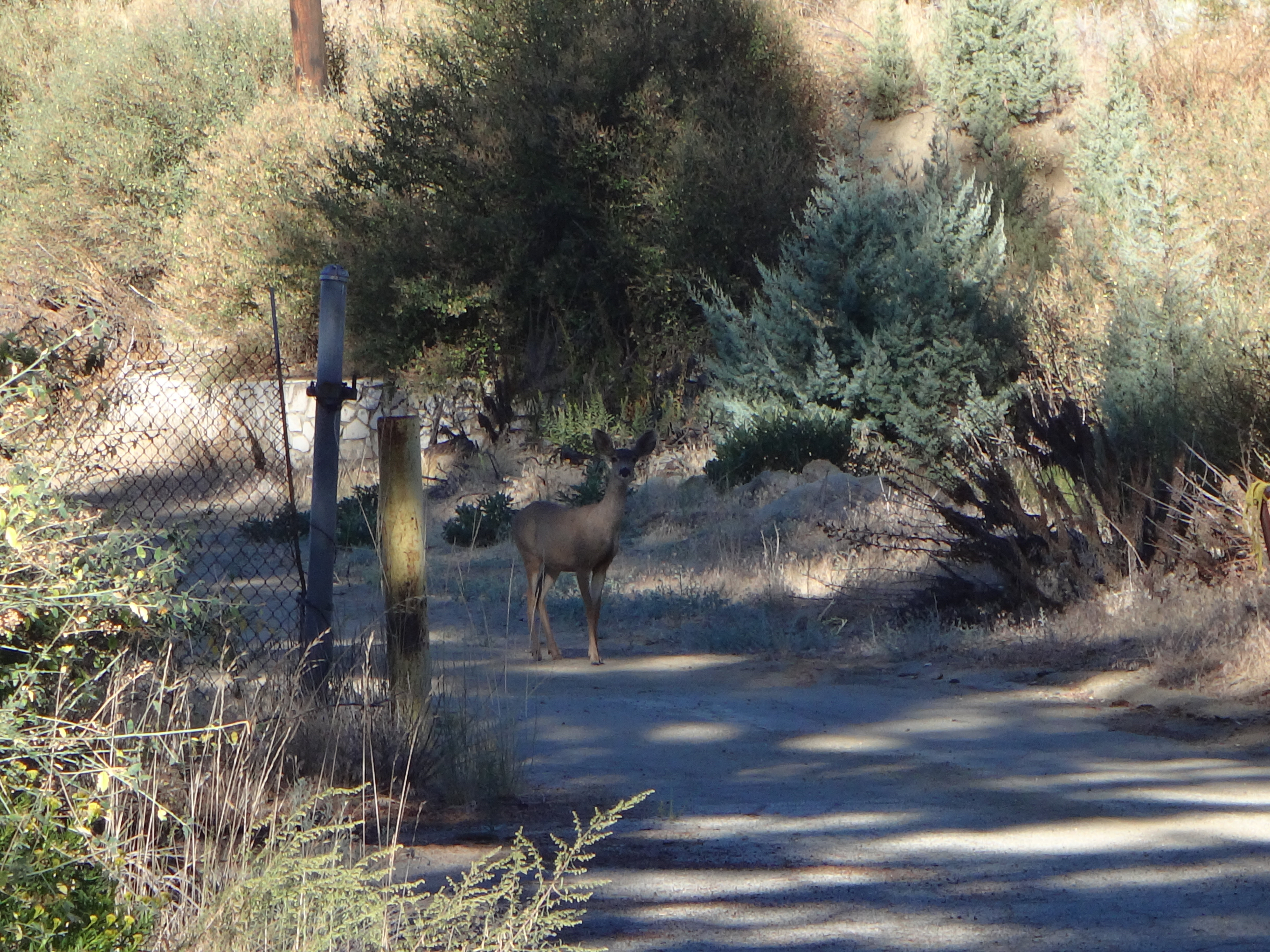
No doubt she had been deep into her own meditations before my arrival, most certainly daydreaming of a strong, handsome buck who'll come and protect her from nasty lions. Instead she got me.
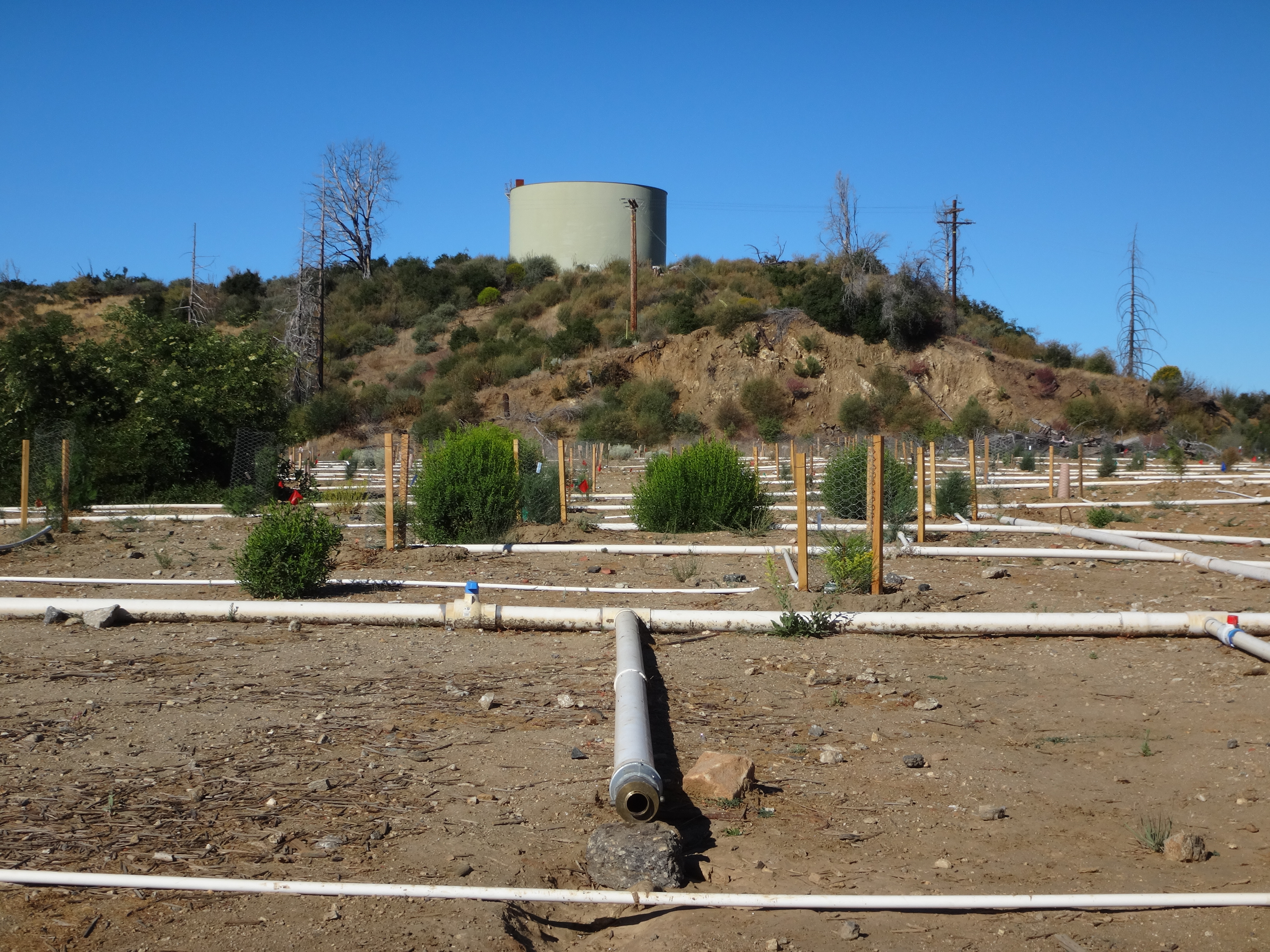
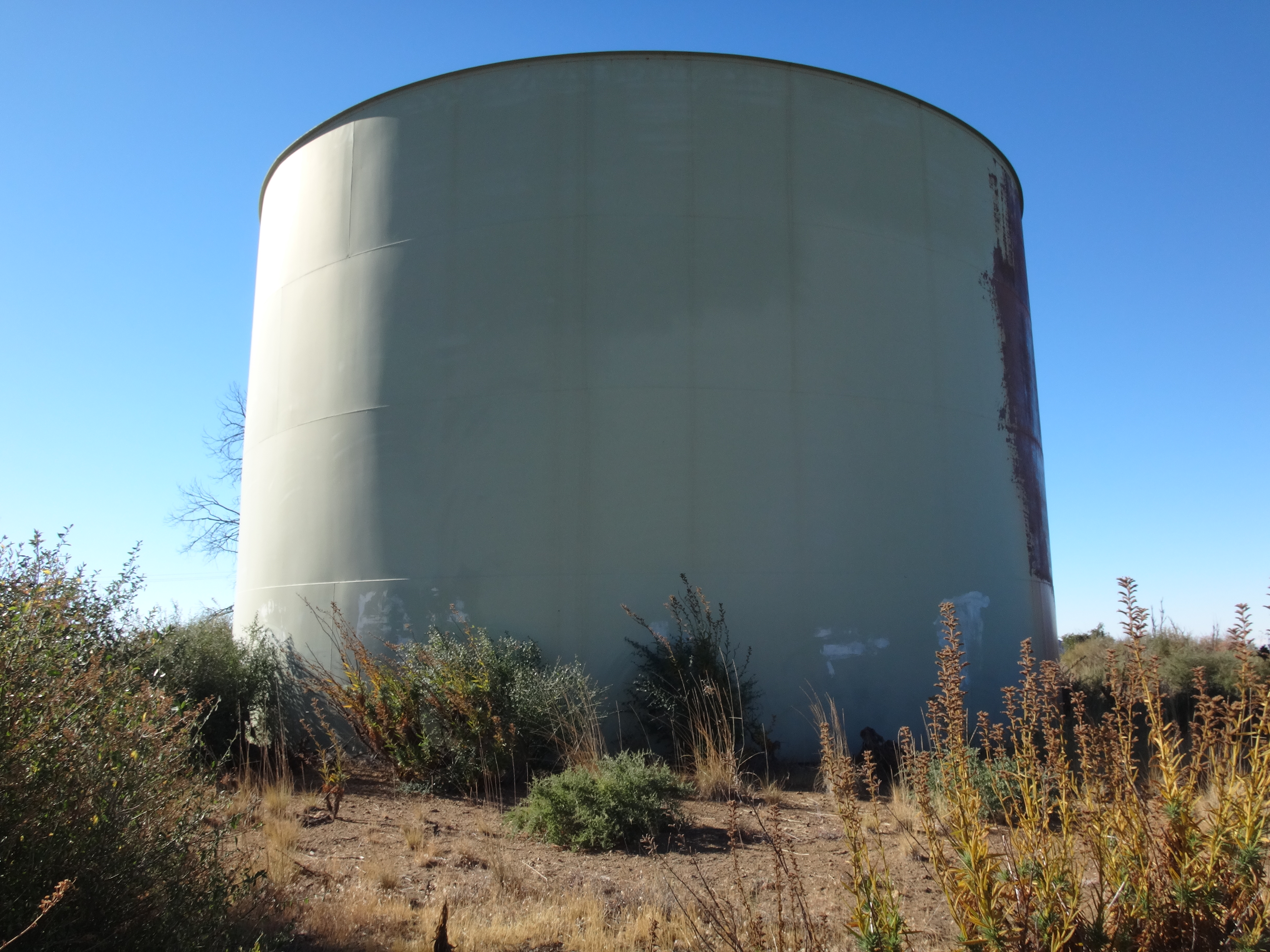
Now bothered--and disappointed--the deer strolled out of my way. She crossed an old, overgrown parking lot, which stupidly I failed to picturize. I did, however, take several photos of the Barley Flats water tanks and revegetation project.
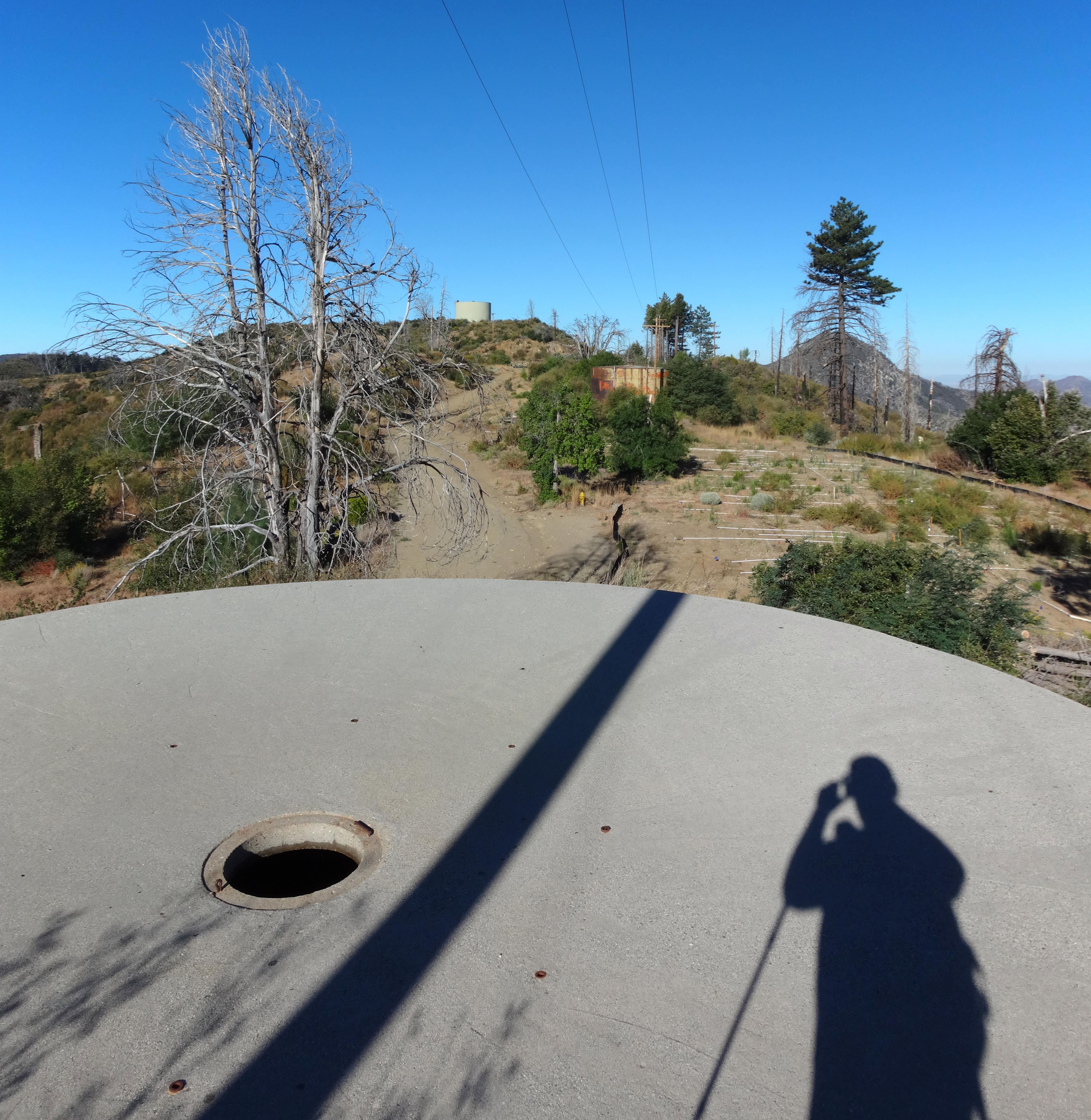
I made my way to the west end of the Flats and scrambled up a little rise to the gigantic tank.
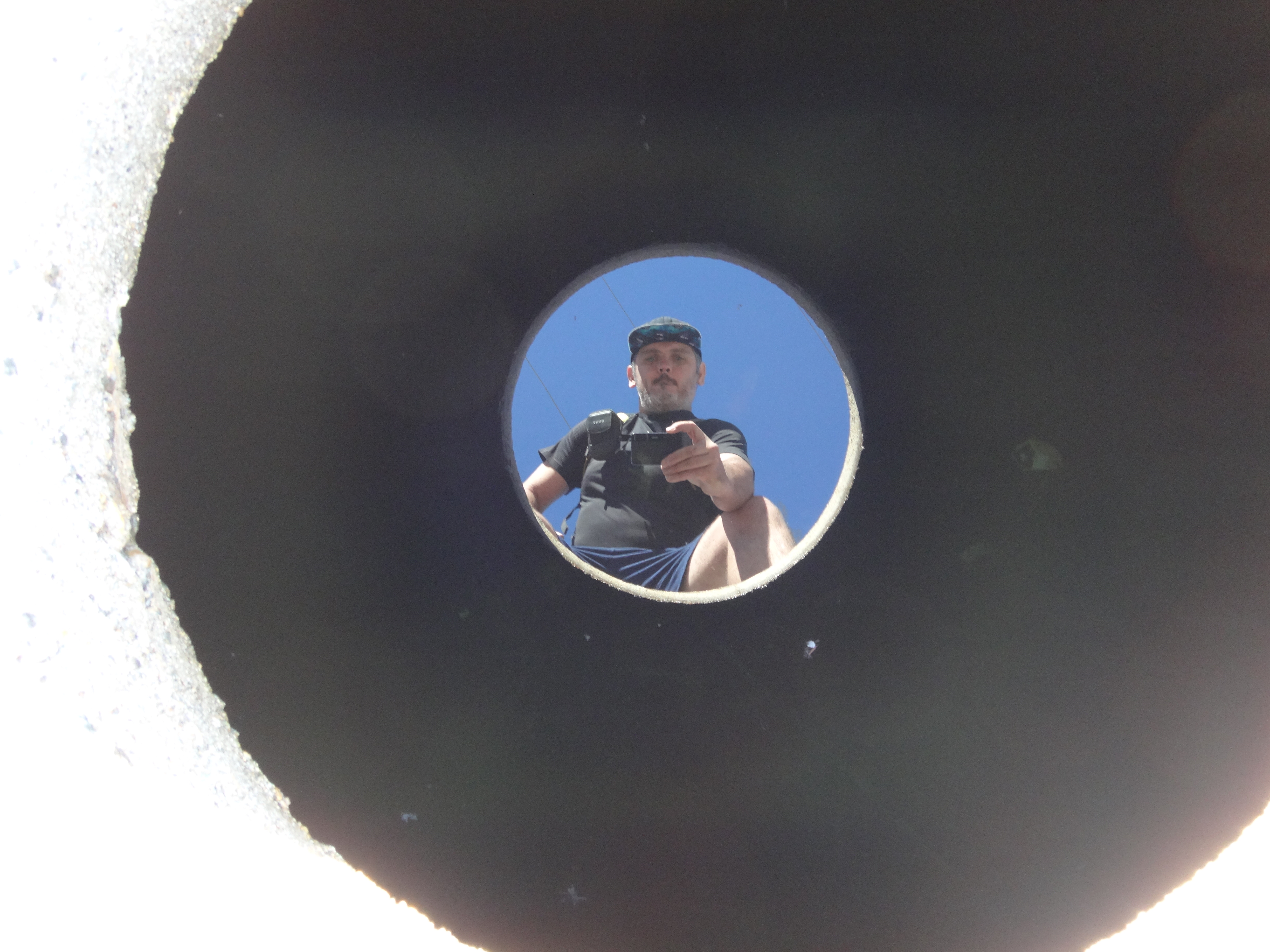
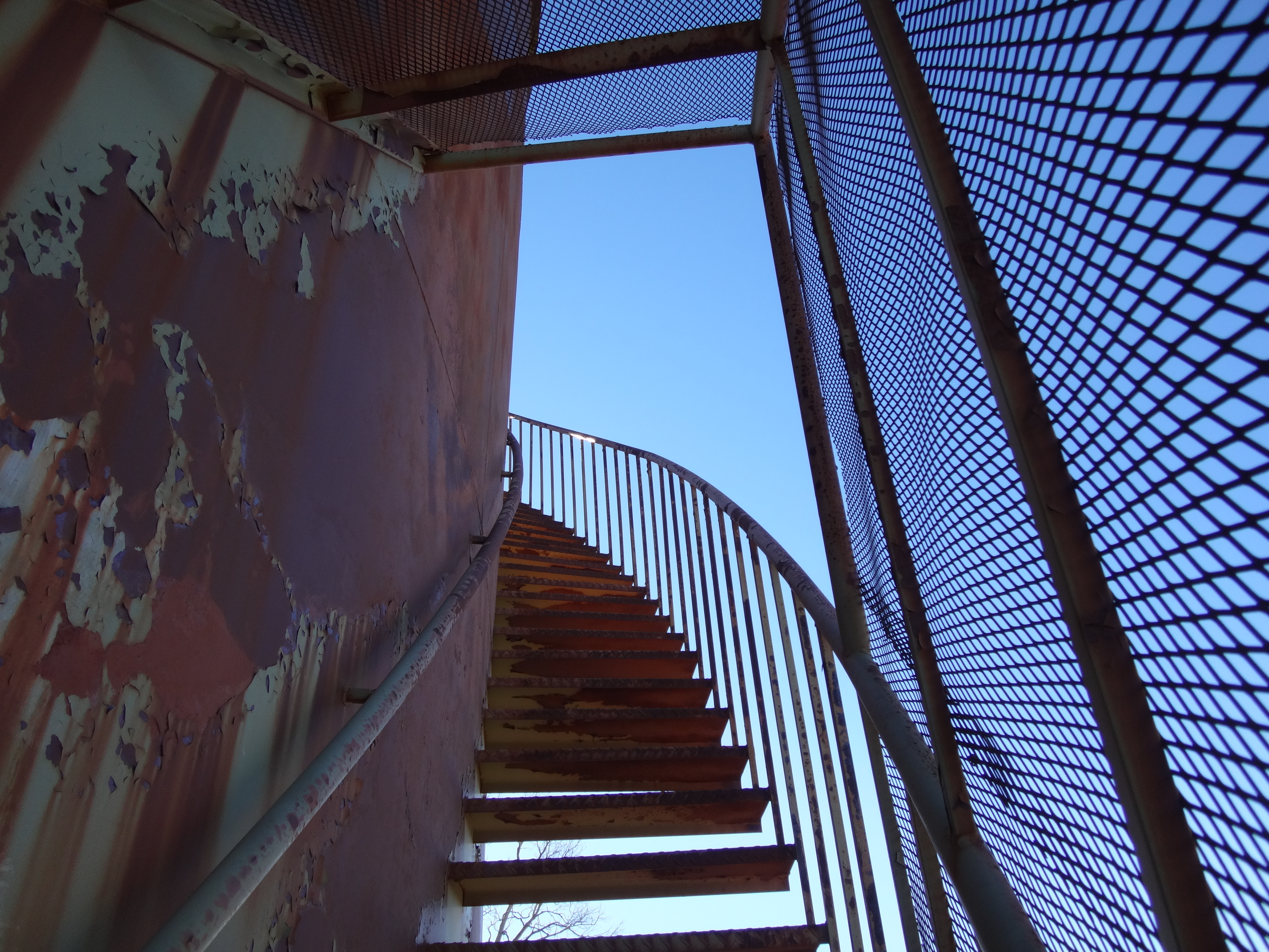
On one side an open stairway climbed up the tank's outer hull.
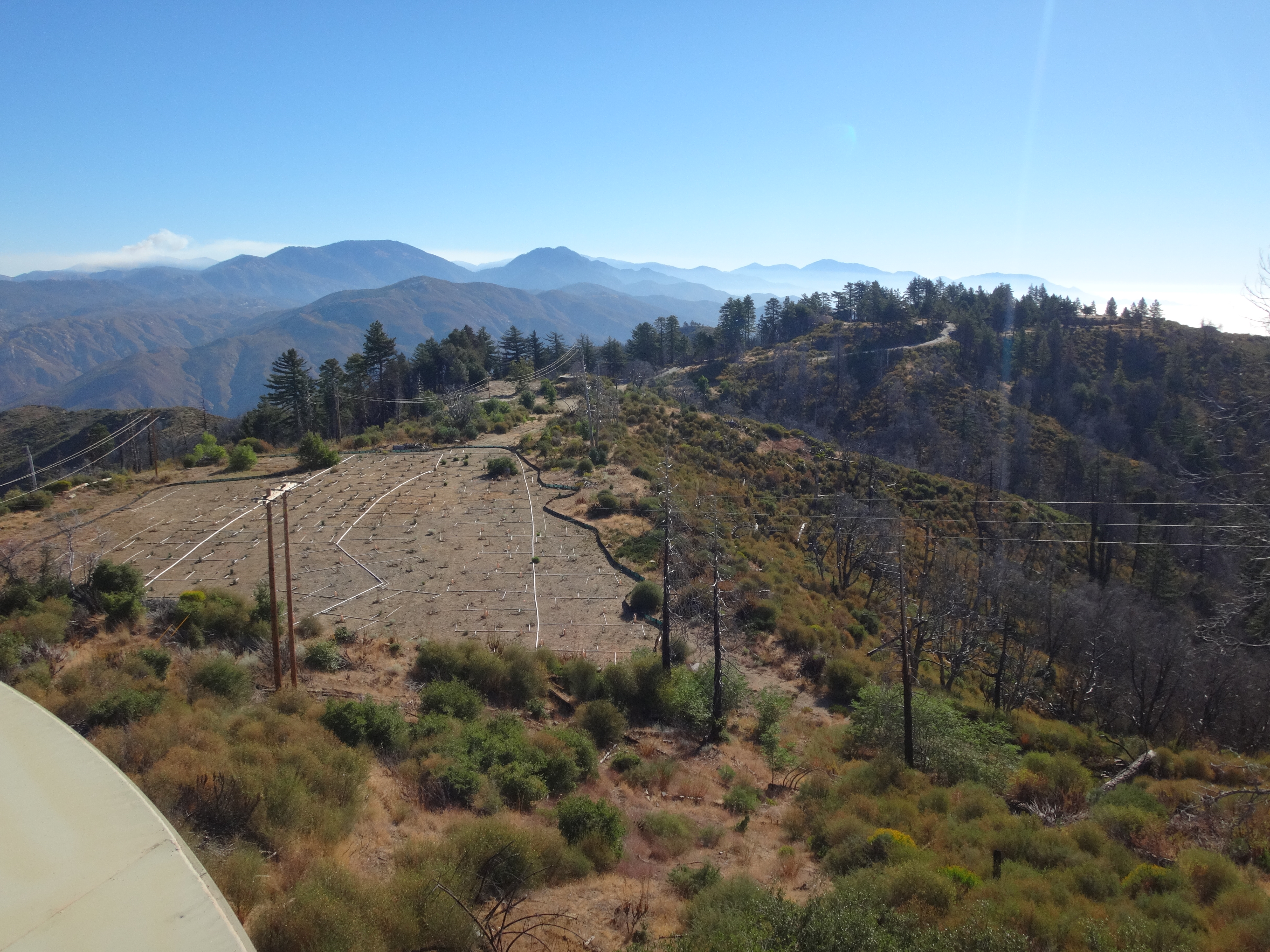
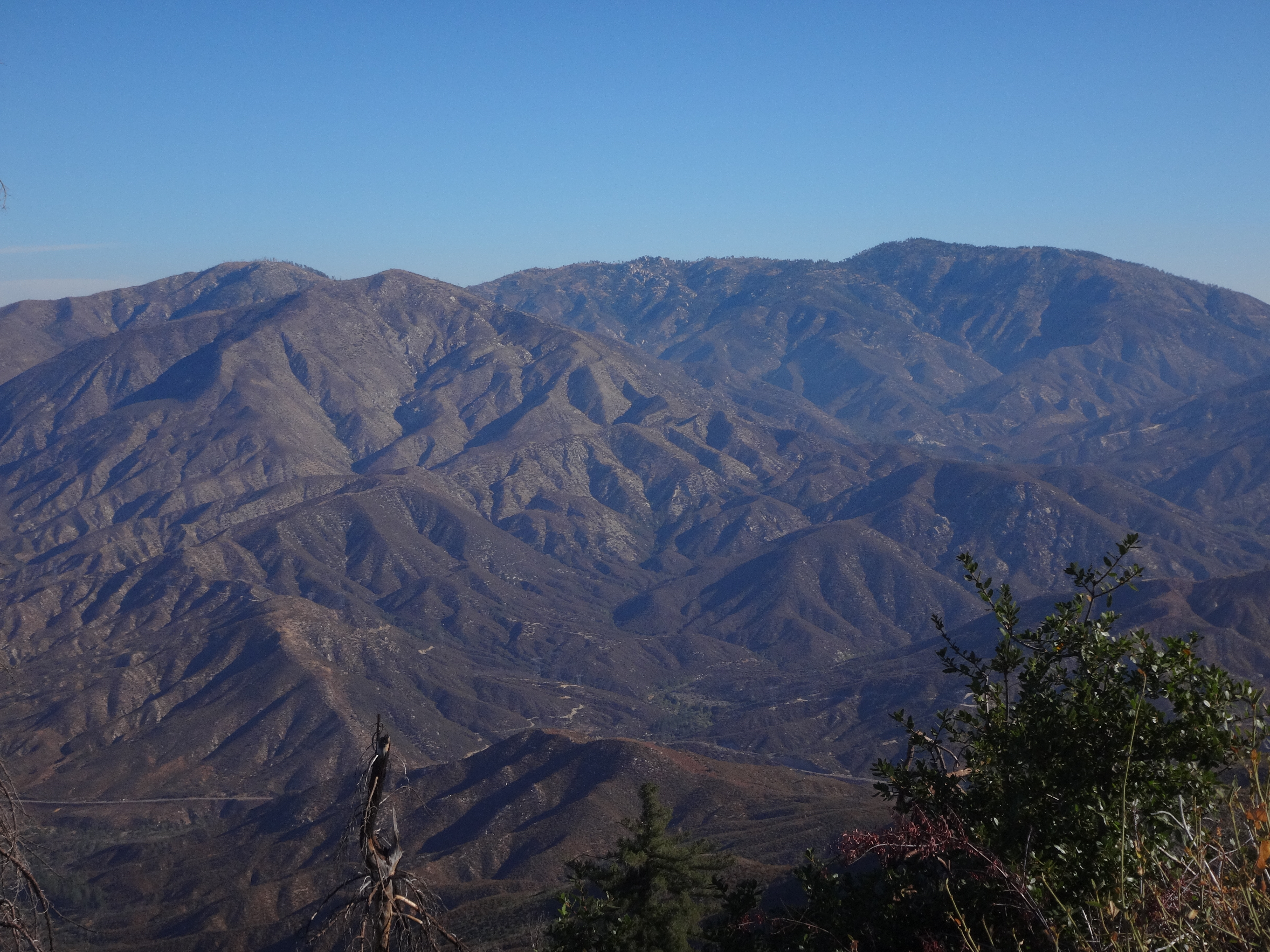
From the roof, I had a great overview of Barley Flats.
To the south was Mt. Wilson.
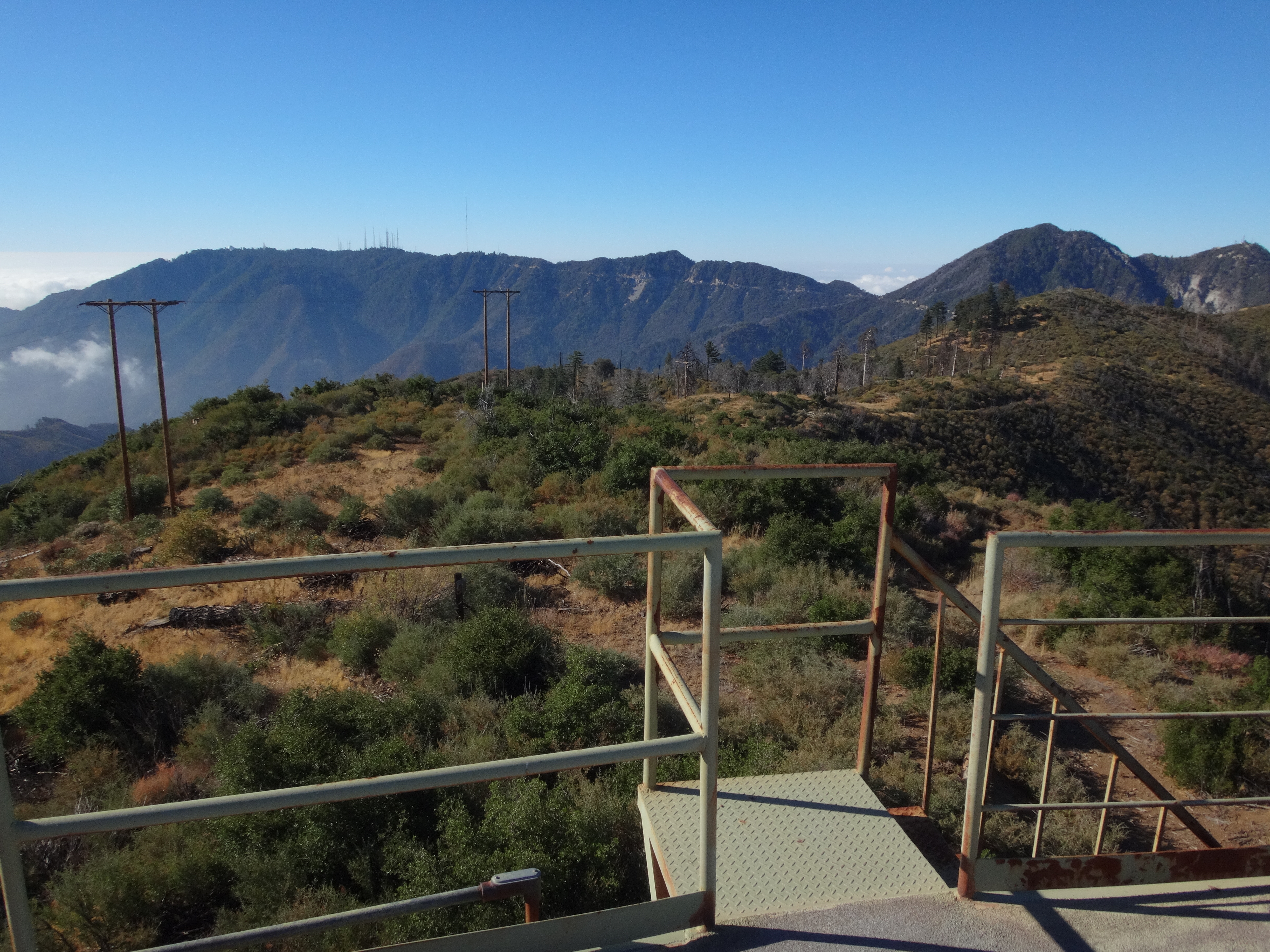
To the west, Strawberry. And the north, Pacifico Mountain.
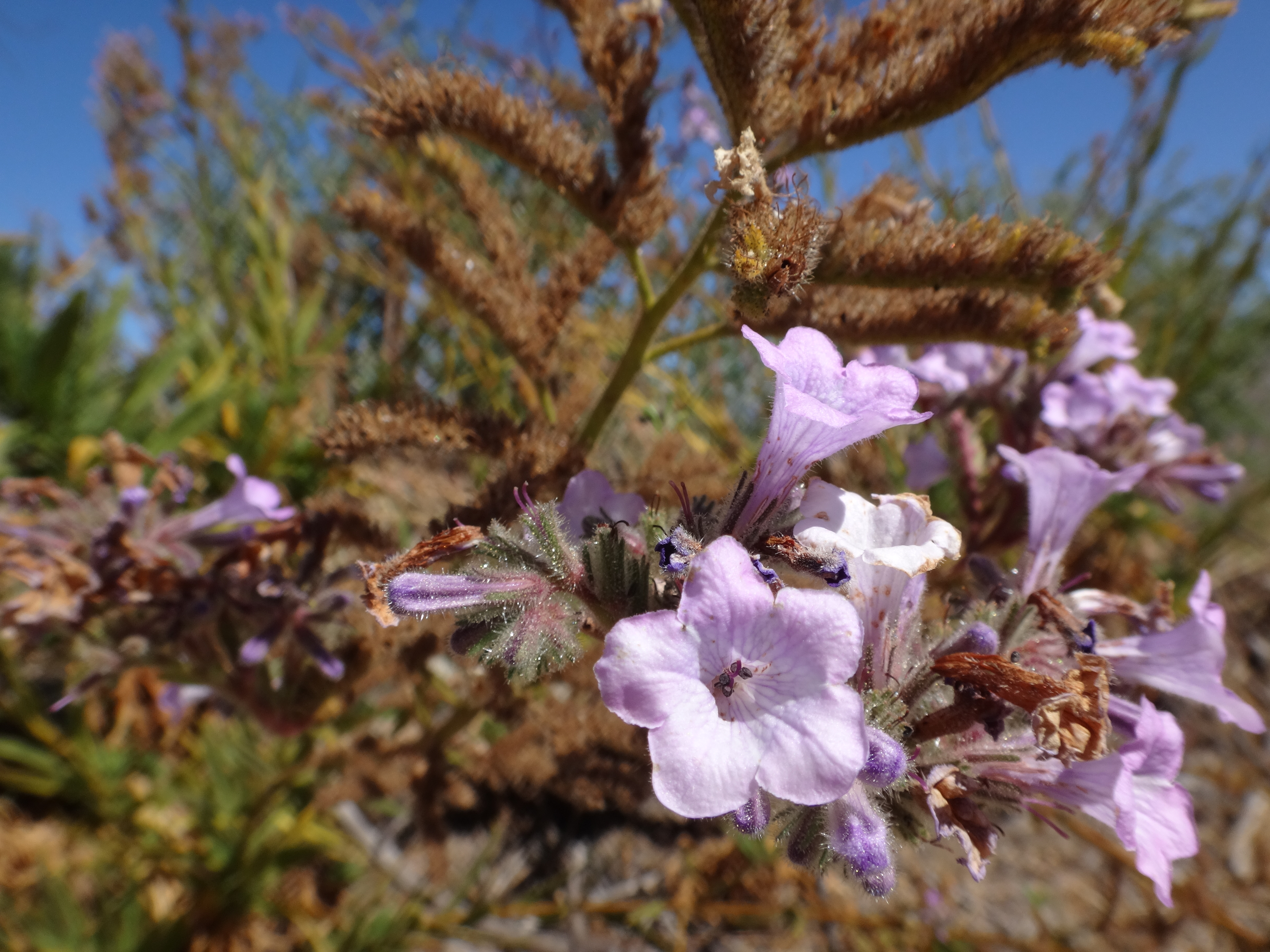
Done with the water tanks, the benchmarks, and the whole paved road ascent, I at last sat upon the bare ground like Buddha and considered Mother Nature's beautiful morning. The sun shined brightly. The blue sky encircled the mountain range. Little flowers adorned the ground. Bees buzzed and birds were flying. The temperature had warmed, so I removed my cap and listened intently to the sweat evaporating off my head.
Little did I realize that a countdown had begun. Someone was about to be rocketed into the stratosphere.