Cecelia and I rolled into the Village around noon on Sunday and took one of two empty parking spaces along the street. We had stuffed ourselves with a Denny's breakfast and were feeling a bit sluggish at the start of our hike. While strolling up Bear Canyon Road, Cecelia accordingly encountered a bear.
More precisely, a teddy bear.
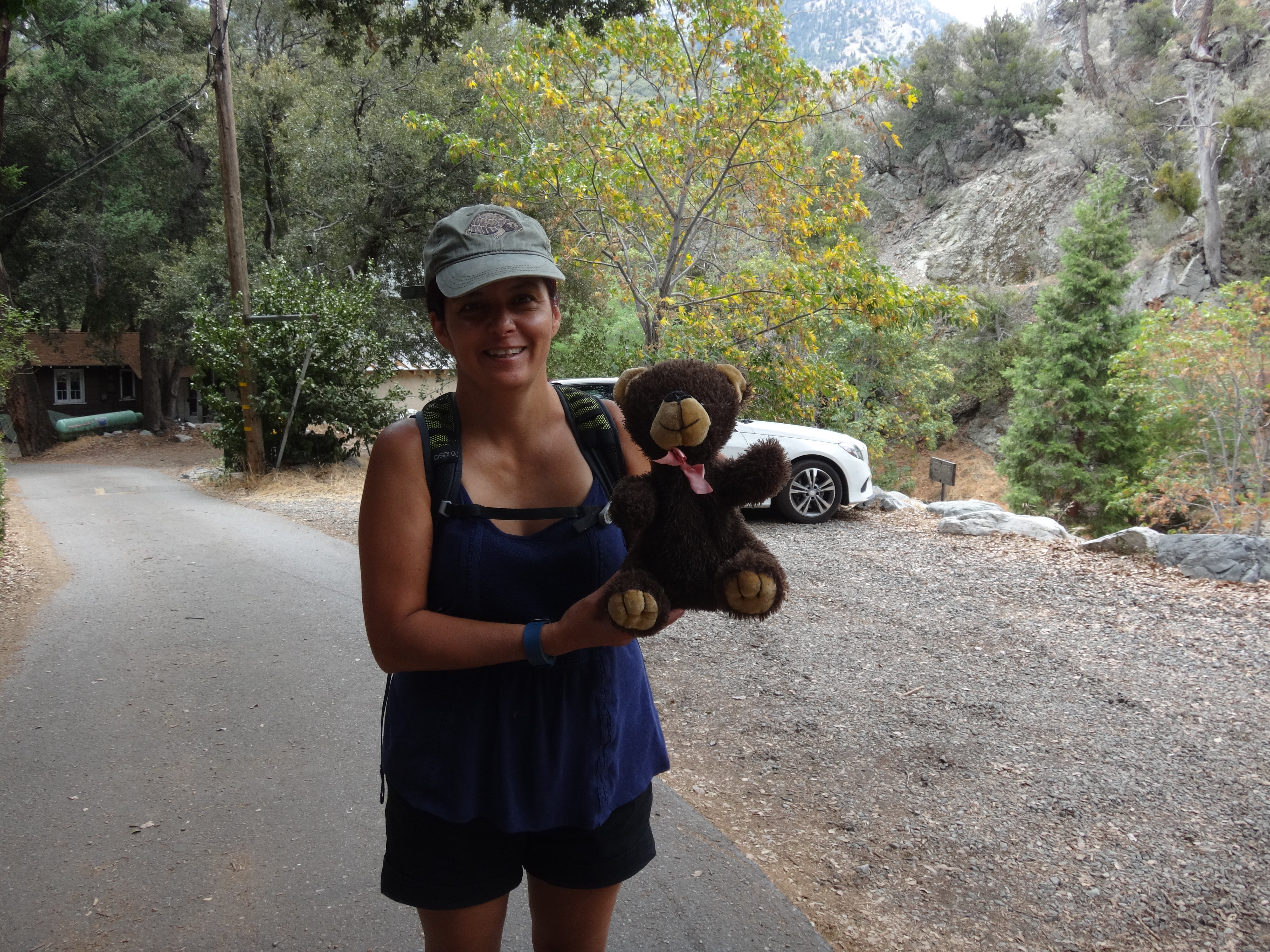
It had been abandoned along the street. She placed it on the nearest porch step, hoping it would find its way back to its owner.
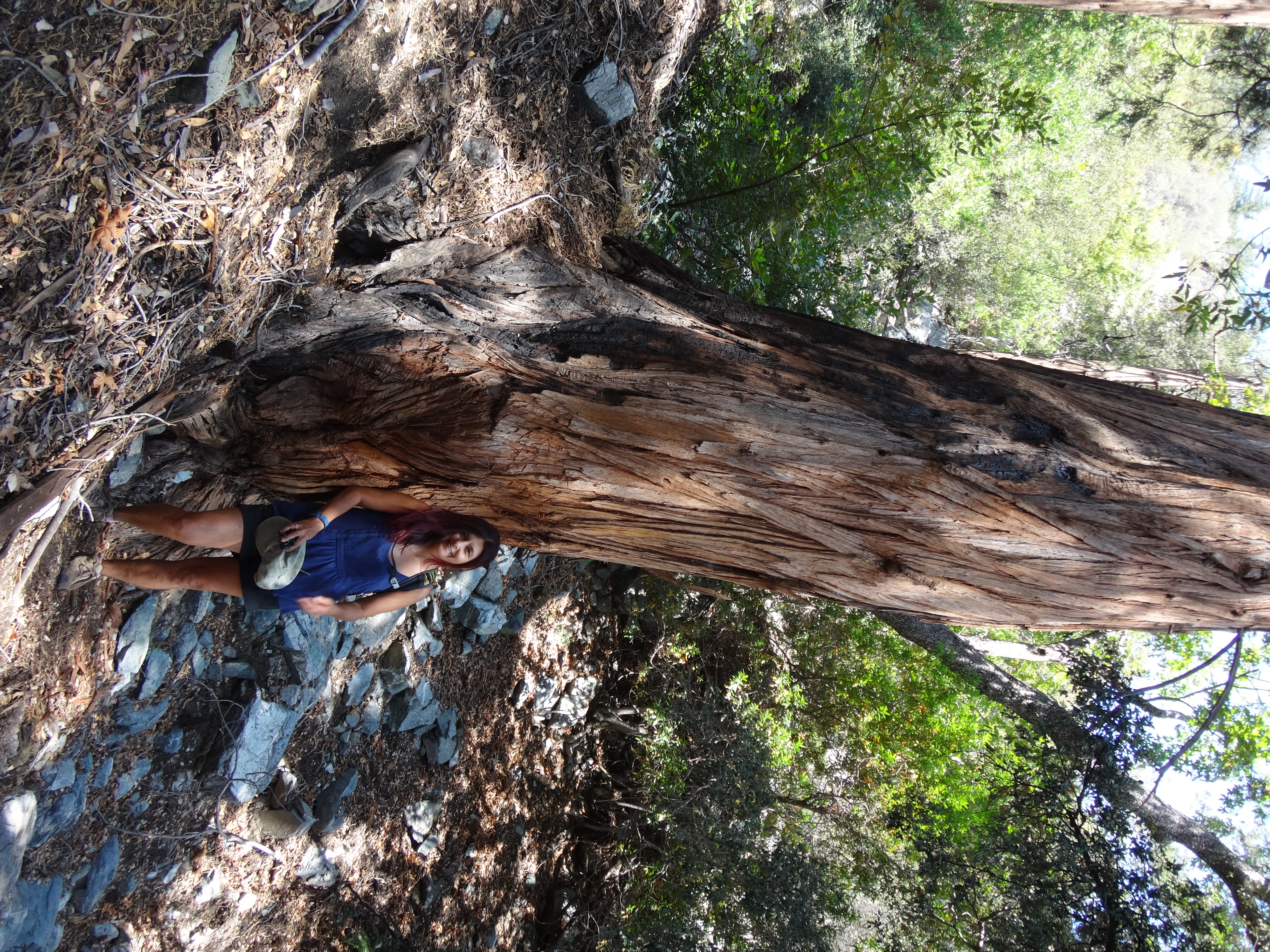
If you're into famous trees, Old Glory also lives along this road.
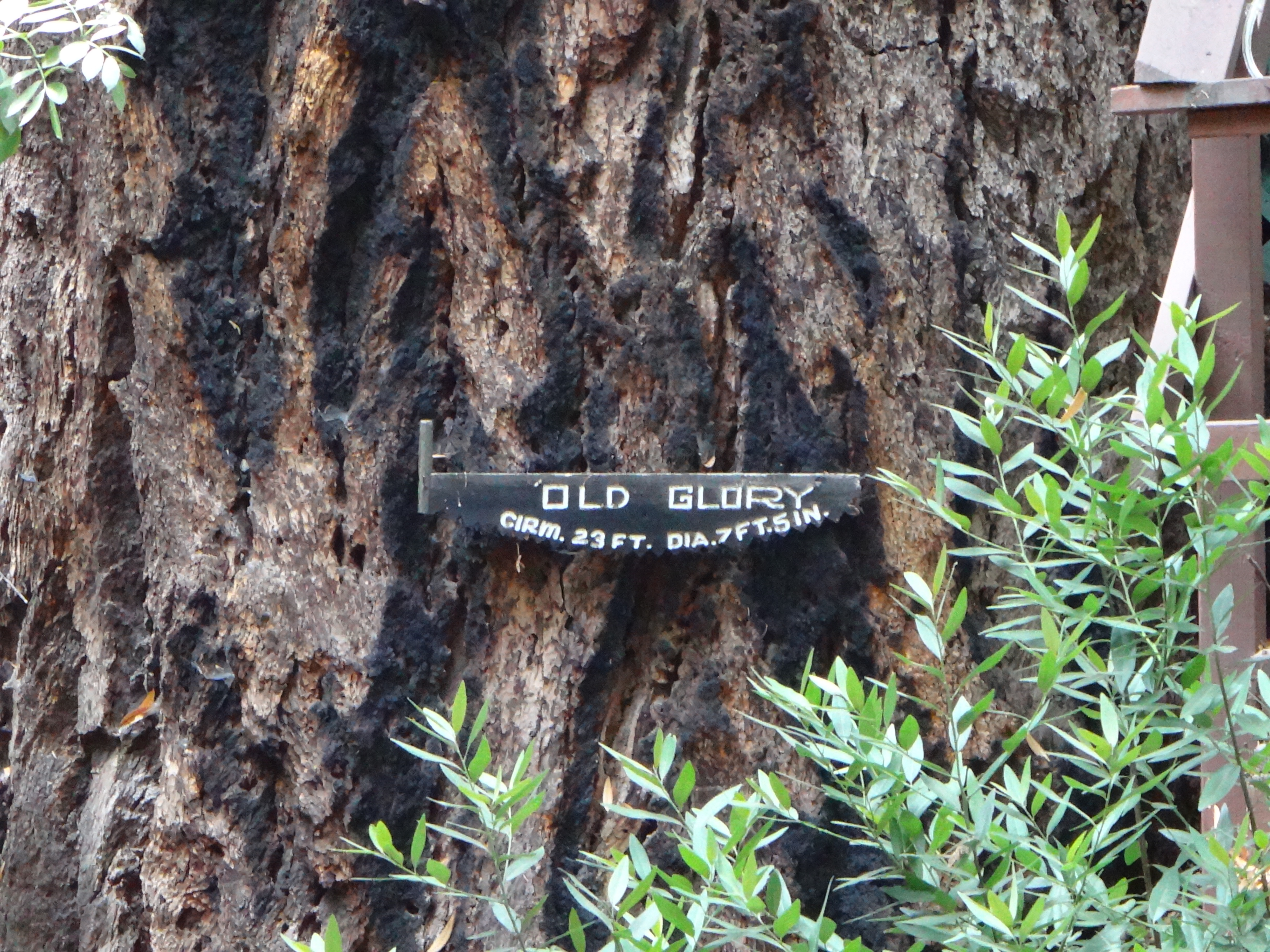
This is the oldest Bigcone Douglas Fir in existence, estimated to be 700 years old.
We continued up the road and trail to Bear Flat, before switching over to the orphaned 1920 mule trail, whose condition sort of sucks right now.
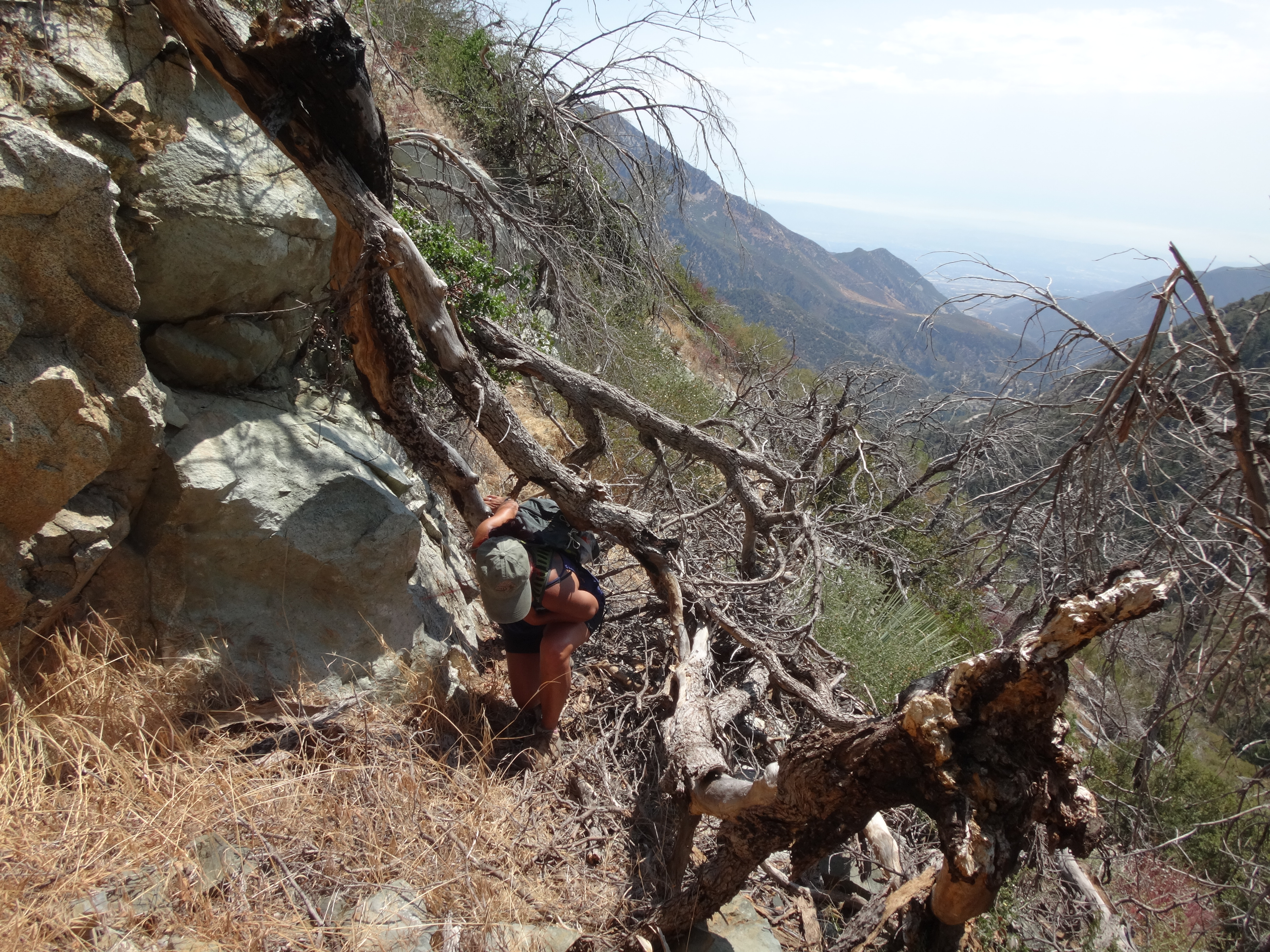
Downed trees, overgrowth, washouts, and rocks made progress somewhat tedious here. Places where the trail is completely gone required skill in navigating faint use trails.
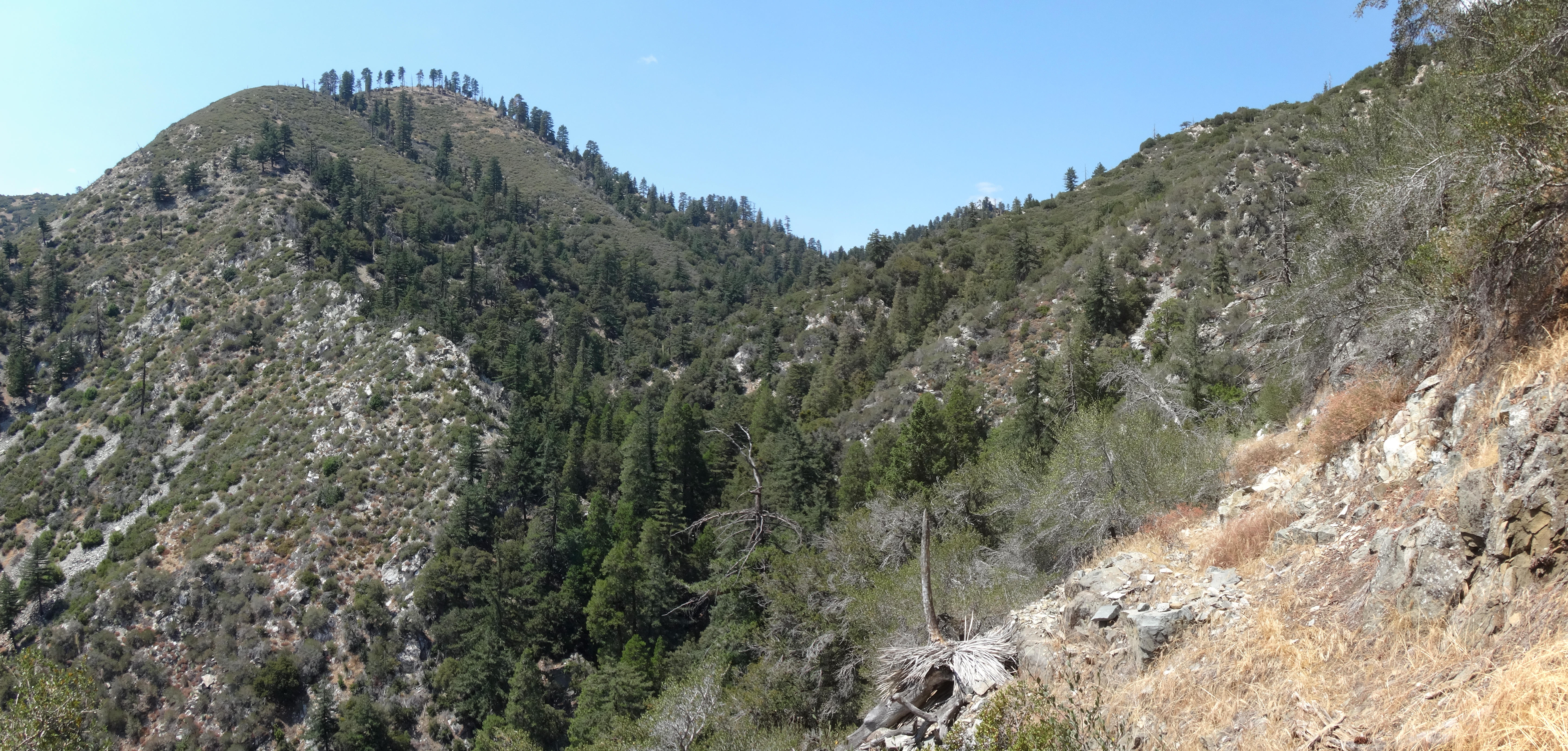
(View of Rearguard Mountain on the left side, while turning into the West Fork of Bear Canyon from the Flat.)
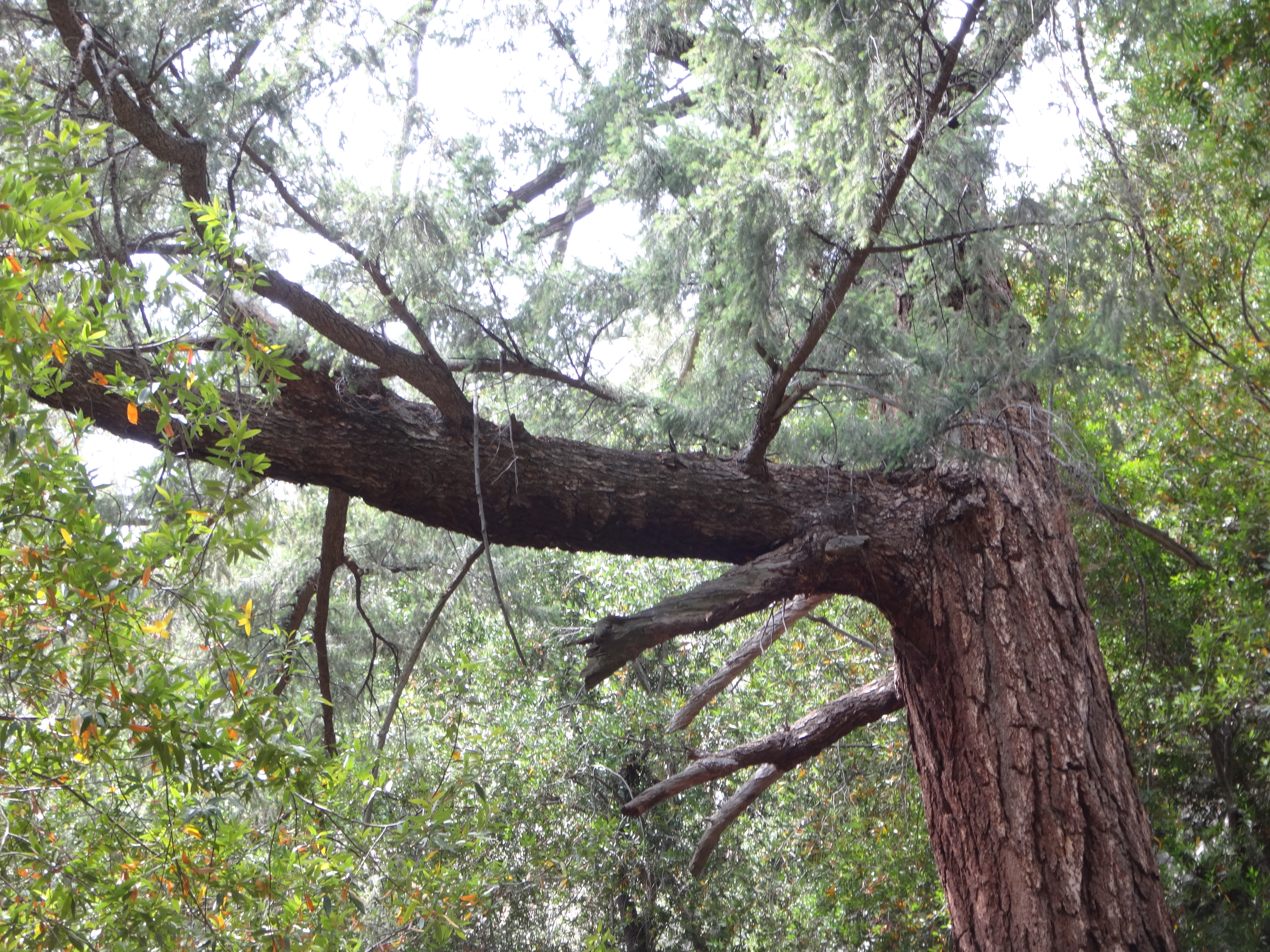
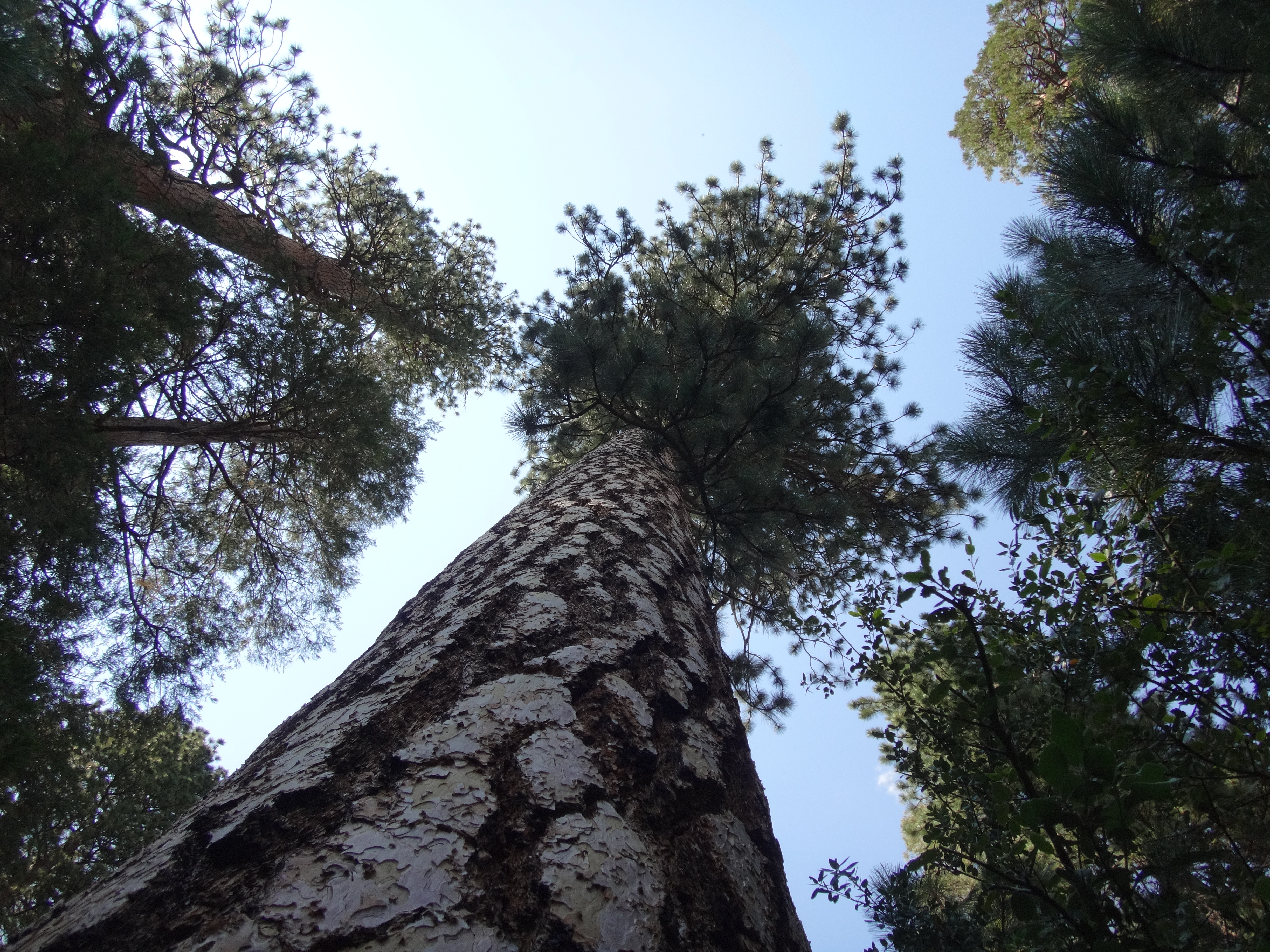
Eventually we finished the contouring aspect of the route and dropped into the West Fork of Bear Canyon, which houses some marvellously huge, old trees.
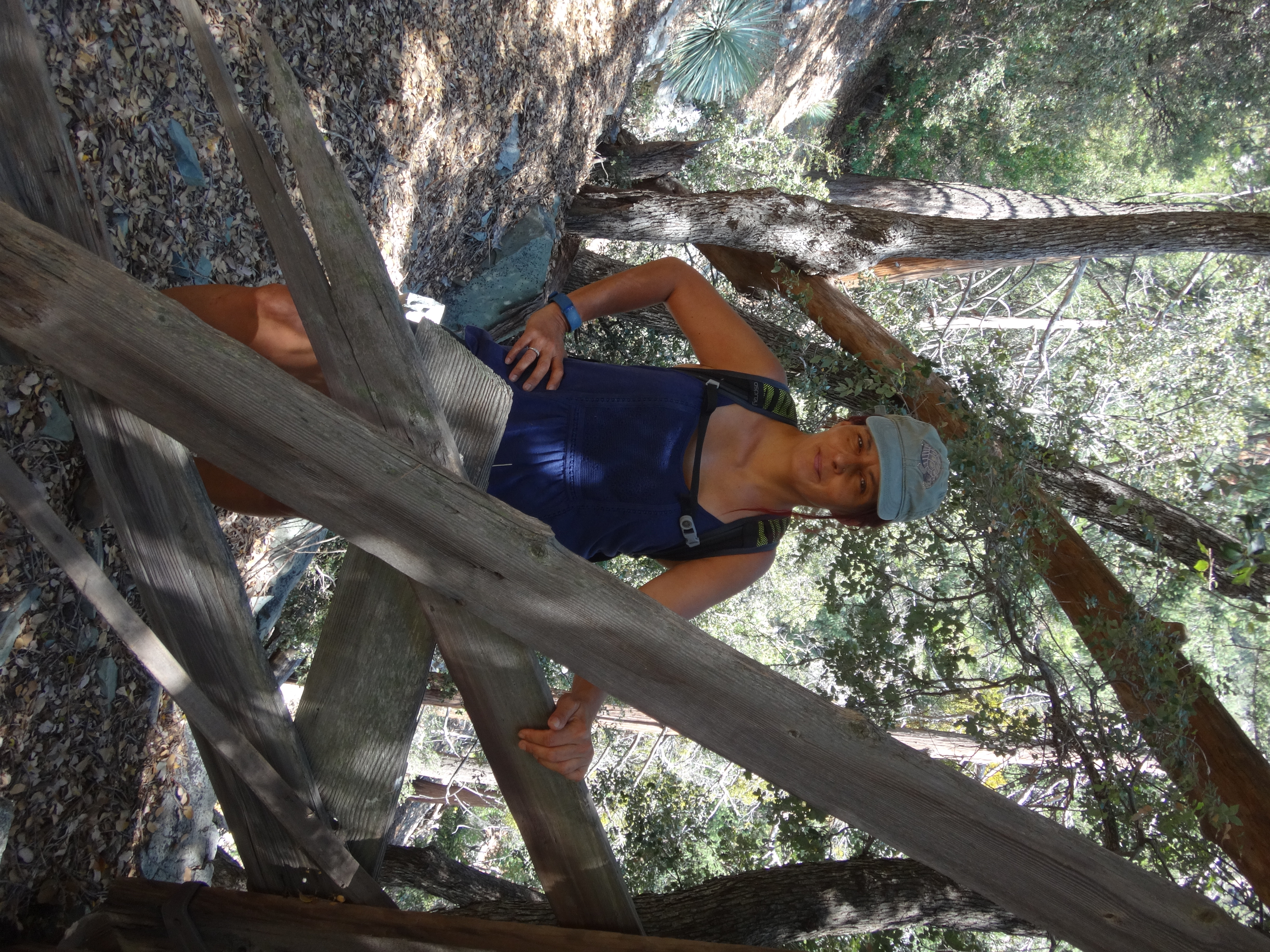
I showed Cecelia the remains of an old wooden gate, presumably used to control livestock back in the day.
After losing the trail in the canyon, we scrambled up the mostly dry streambed. We regained the path beyond a narrow section with a small waterfall and some little pools, where I splashed cold water over my head. There was a prominent boulder with a cairn on top, where we followed the use trail to the left, continuing up the main branch of the canyon. Then around elevation 6100', we left the main course and turned up a steep side-gully, taking a straight line to the first saddle north of Rearguard Mtn.

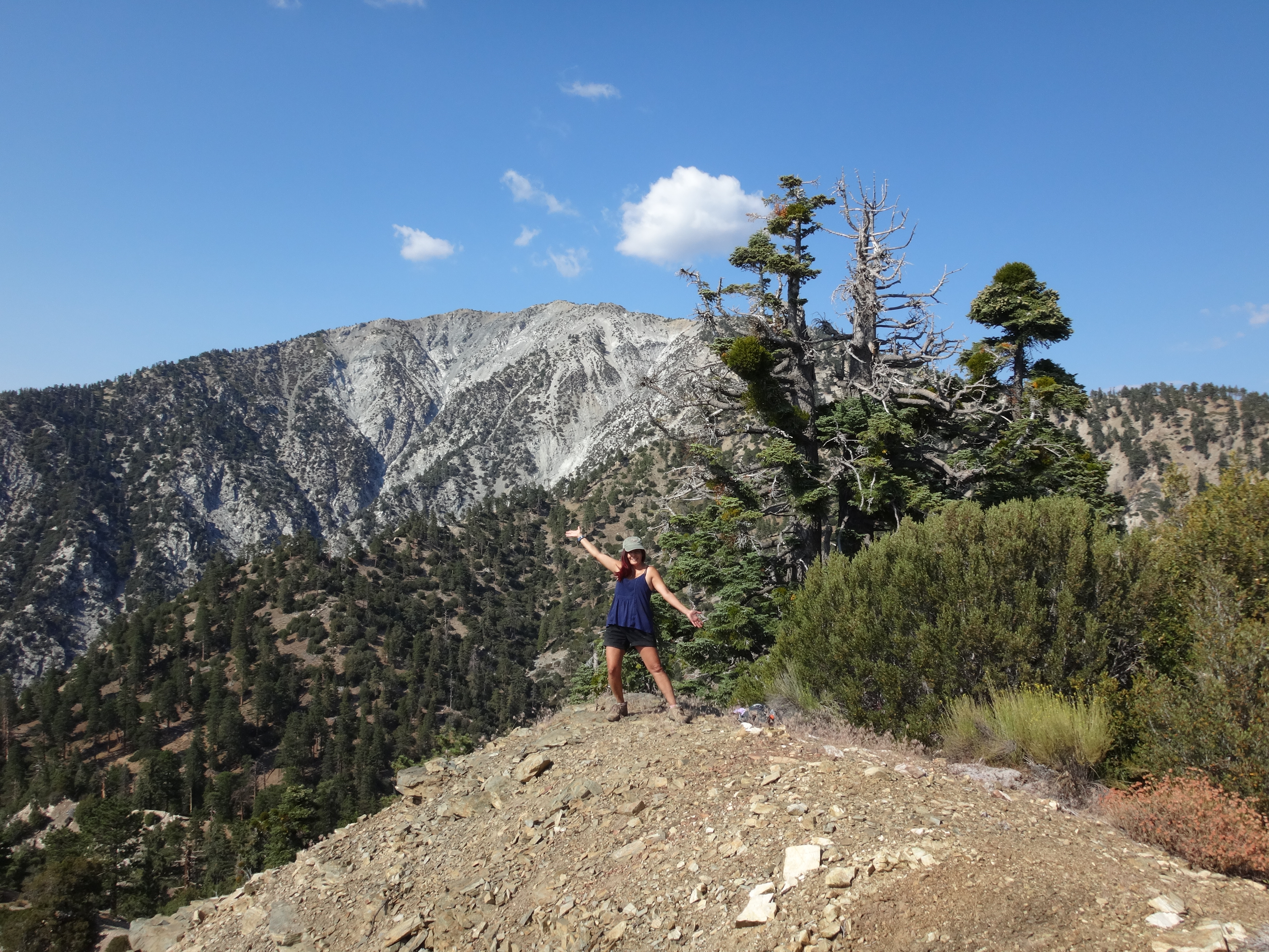
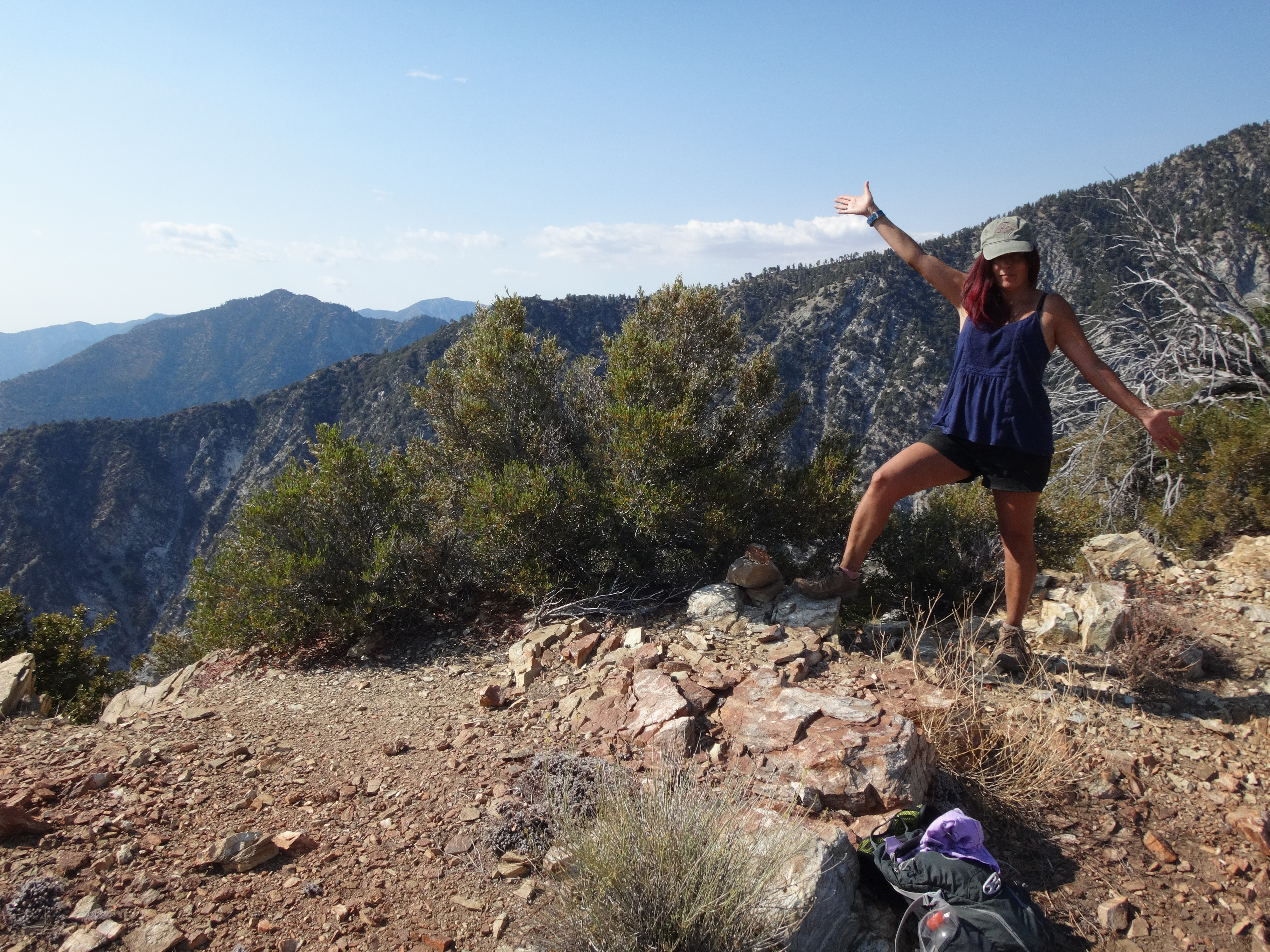
From the saddle, the Lookout Ridge Trail contours around the eastern flank of Rearguard, while a less obvious track splits off, climbing up the ridge to the peak. From the summit, we enjoyed open views in all directions.
(Looking north to the top of Big Horn Ridge.)
(Looking west to Iron Mtn.)
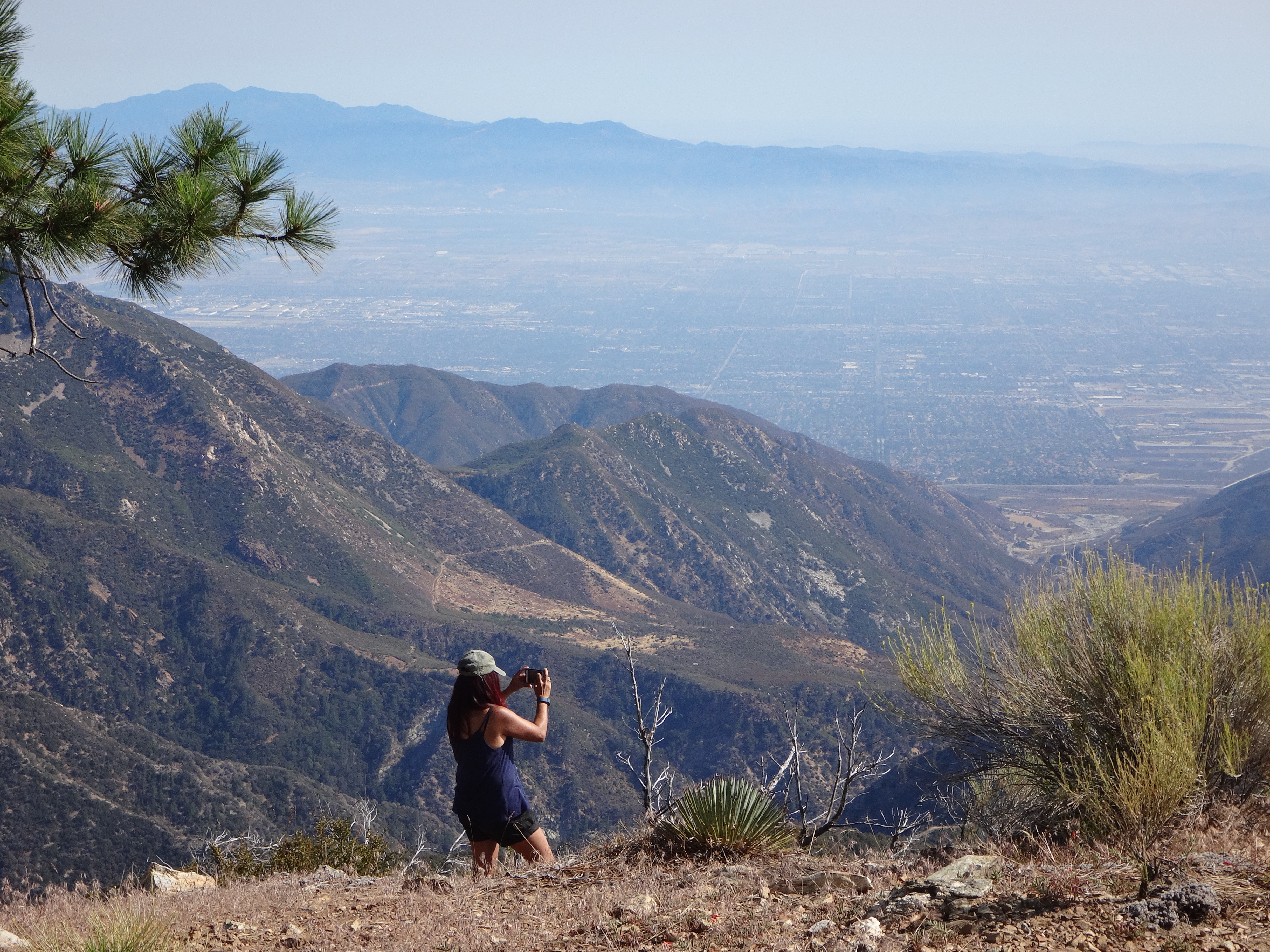
(Looking south down San Antonio Canyon.)
Cecelia and I agreed that in some respects Rearguard is a more enjoyable peak than Lookout. It has several large trees for shade, and the views are more complete. There was no register, however.
Our descent took us along the standard Lookout Trail to the old RV Park area. This place is now sealed up with new gates blocking the road access points. But it's possible to squeeze through small openings that I suppose are for animal passage.