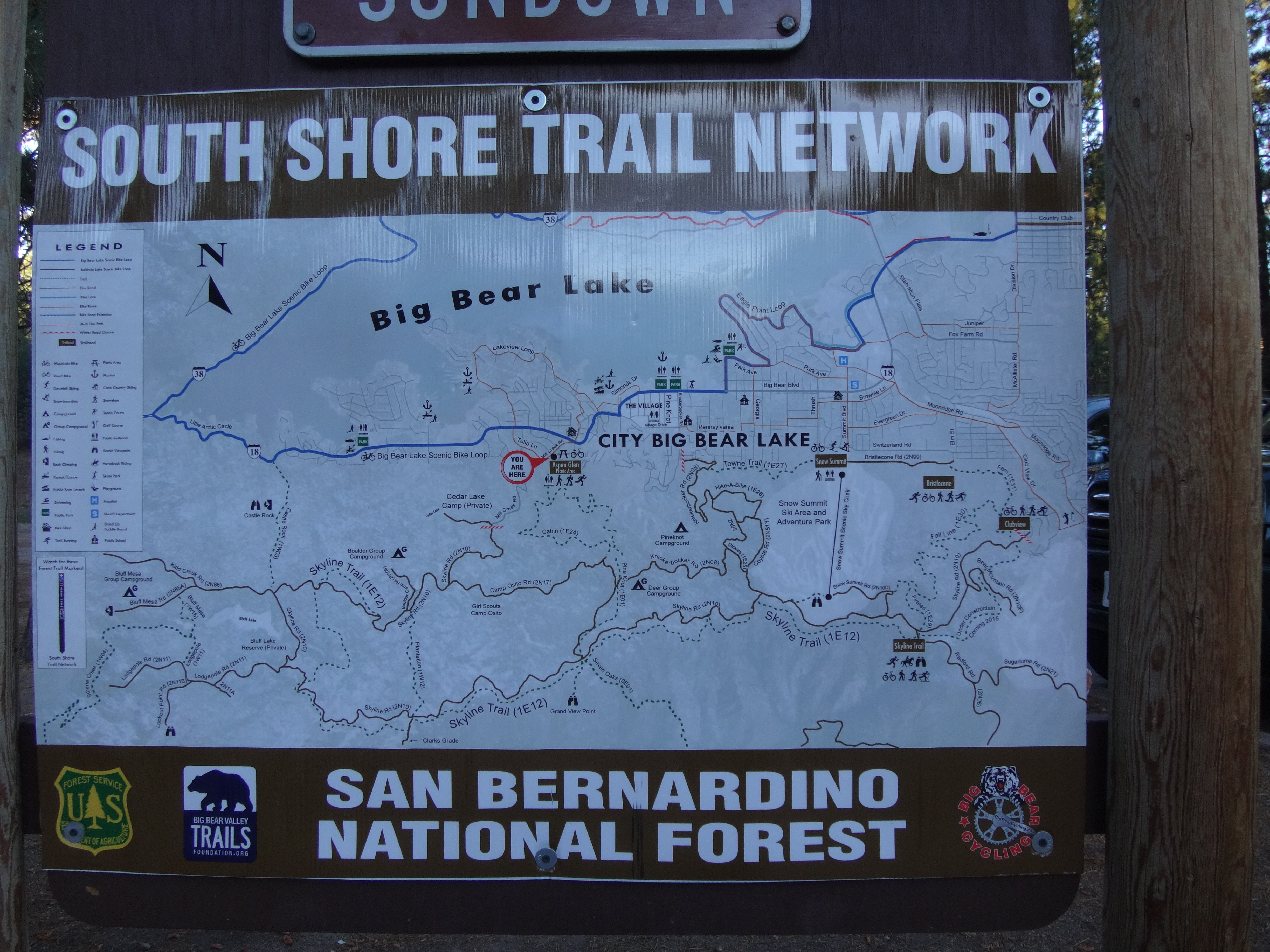
We left my house a little after 4am and pulled into the Aspen Glen picnic area around 6:30am. We got our stuff together and started up the Pine Knot Trail.
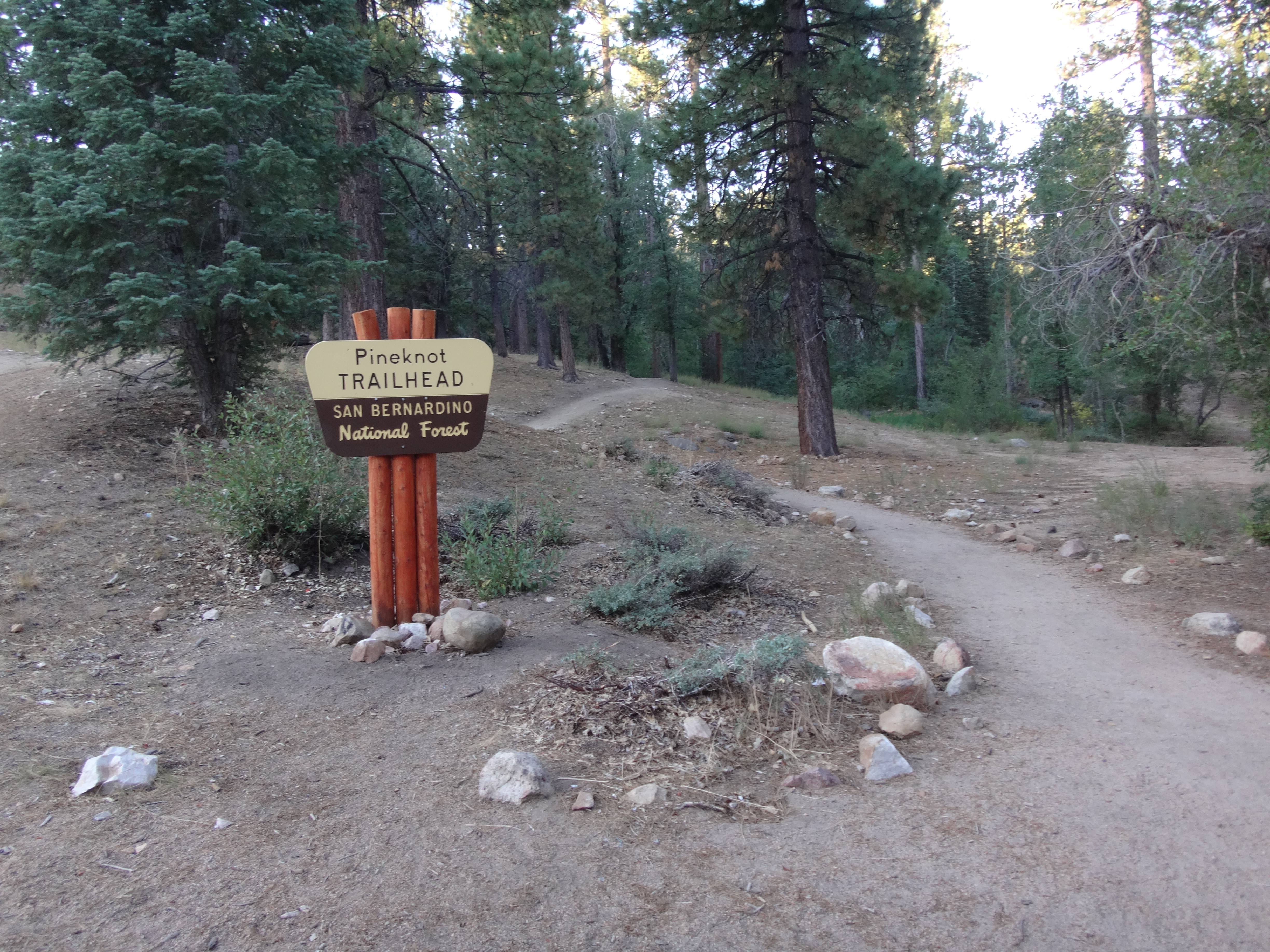
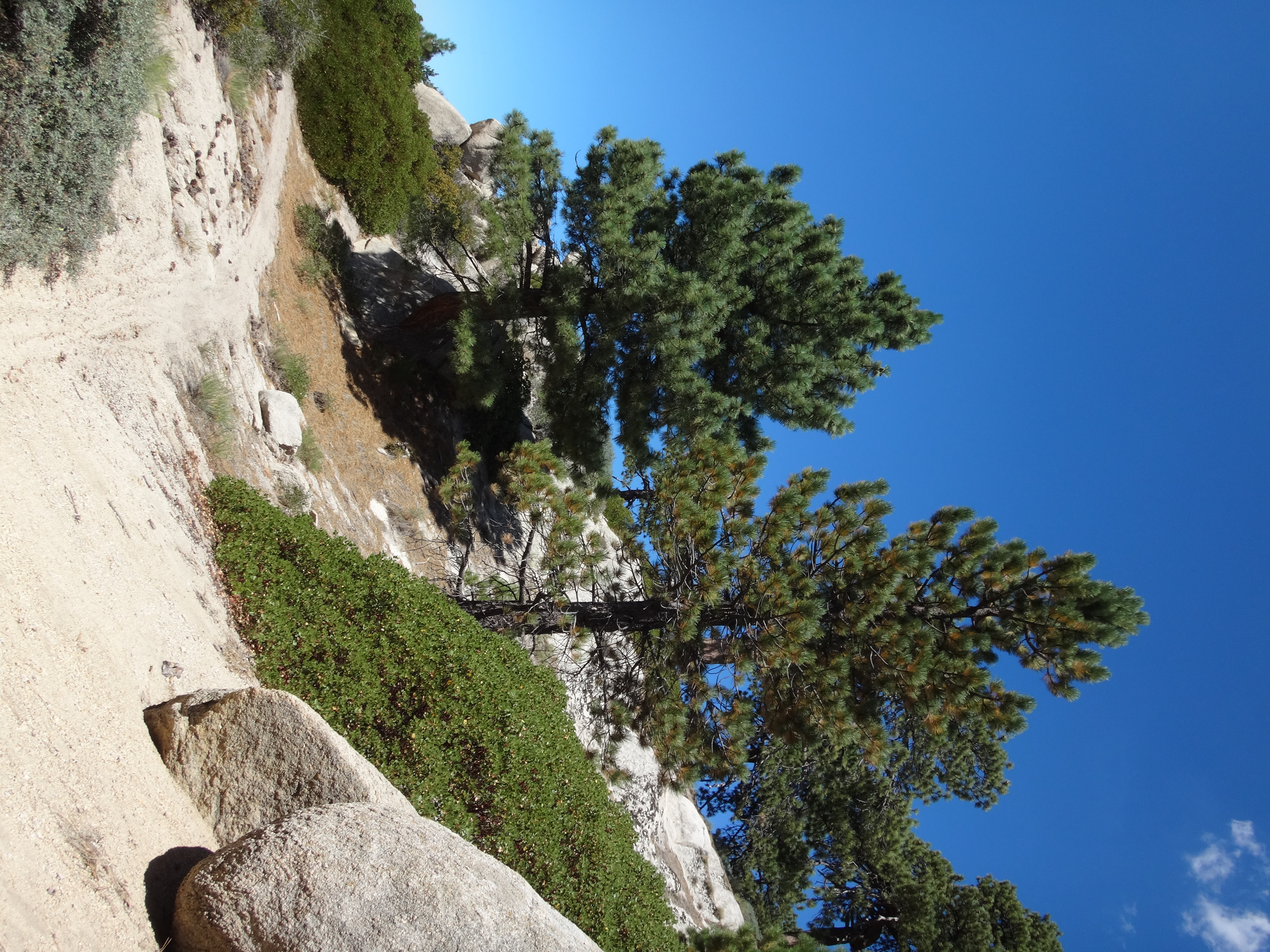
This trail is popular with mountain bikers and is very well maintained. It gently led us upward through a beautiful and tranquil pine forest for 3.25 miles, climbing 900' to Grandview Point.
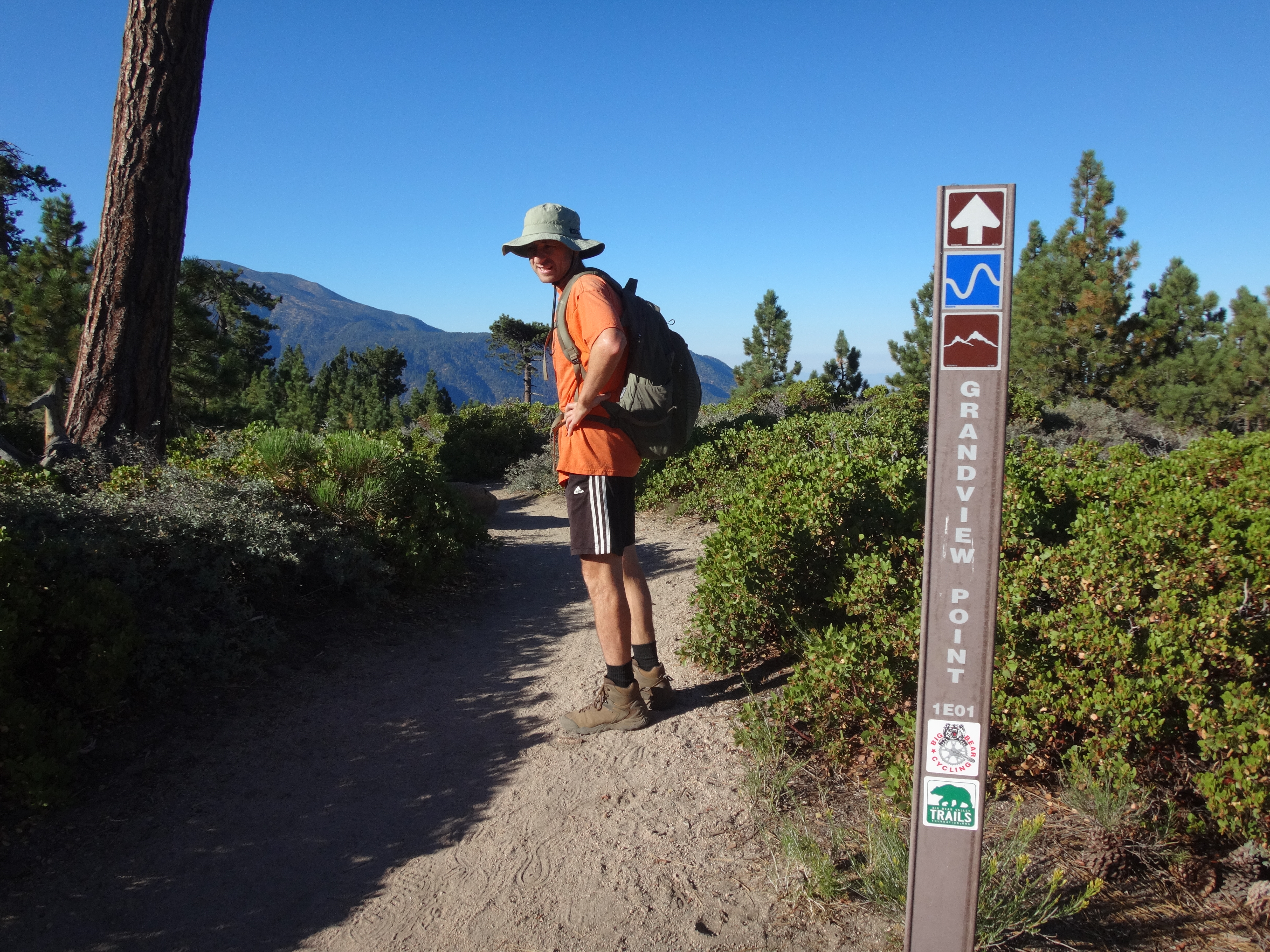
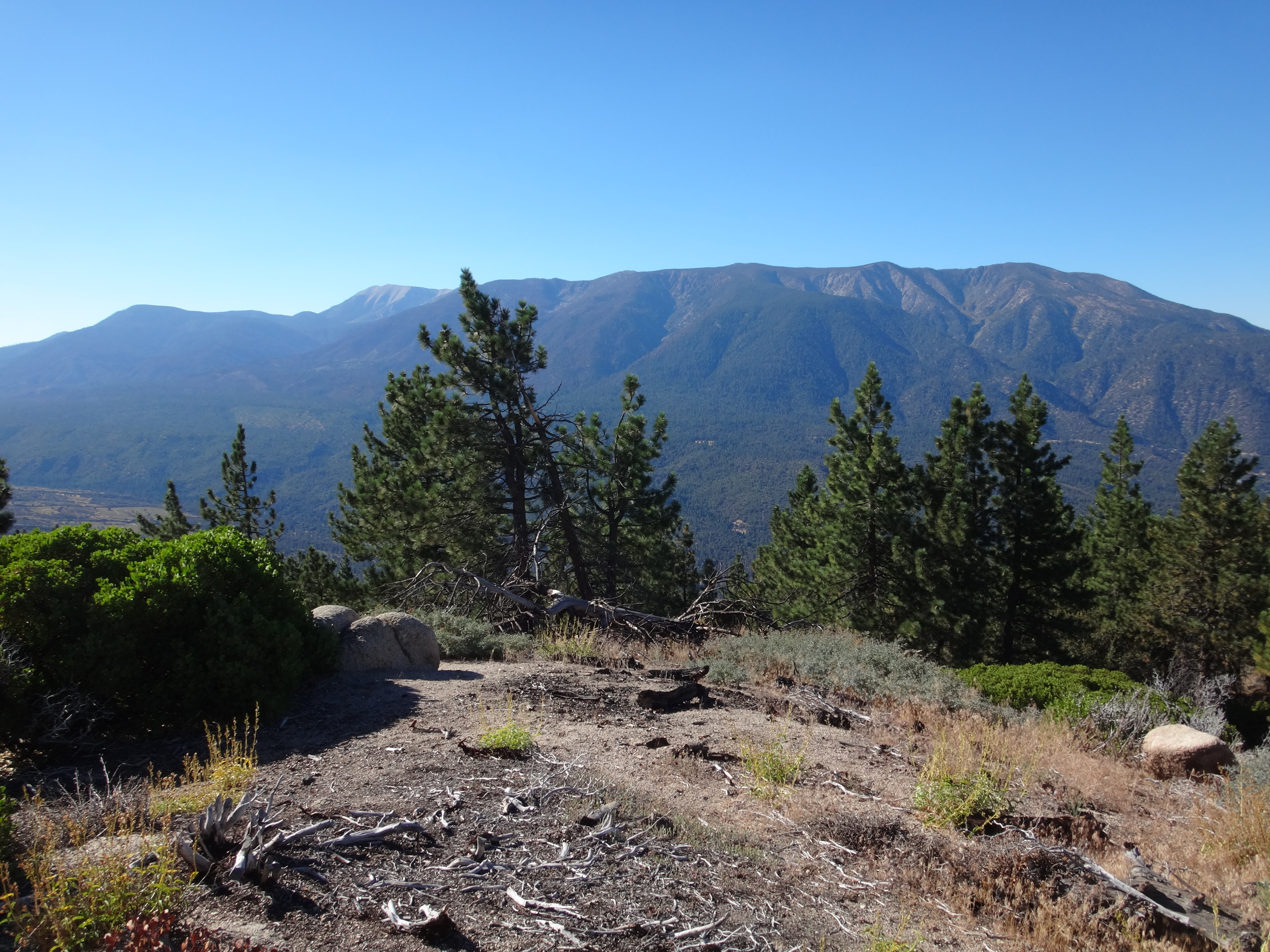
The view sent our gaze across the expansive Santa Ana River Valley, to the 10k peaks of the San Gorgonio Wilderness. We took a break in some shade and debated whether the view was truly grand. Then we headed off westward along the Skyline Trail to boulder-topped Peak 7949.
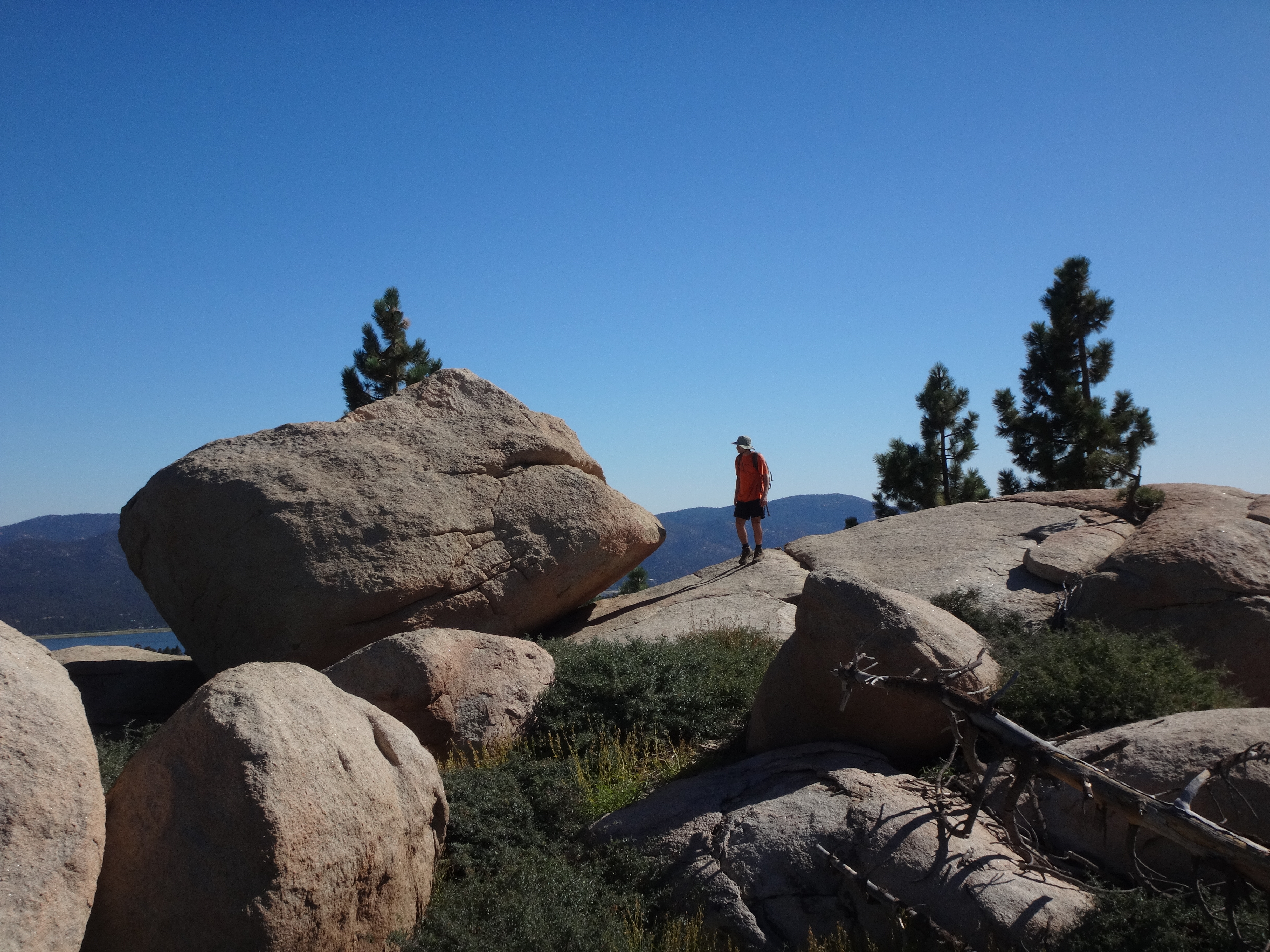
This apparently nameless bump has a nice view looking back on Big Bear Lake.
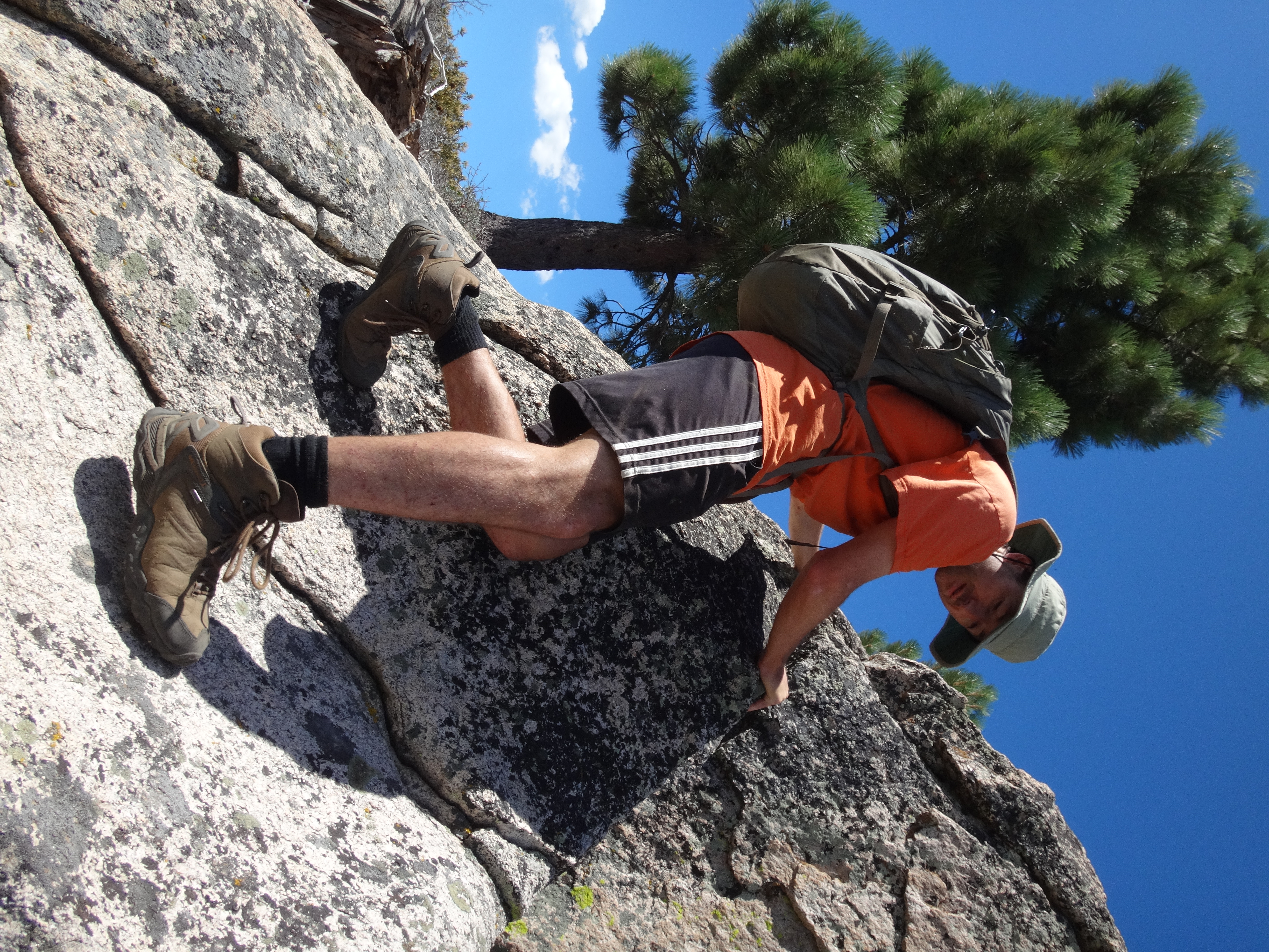
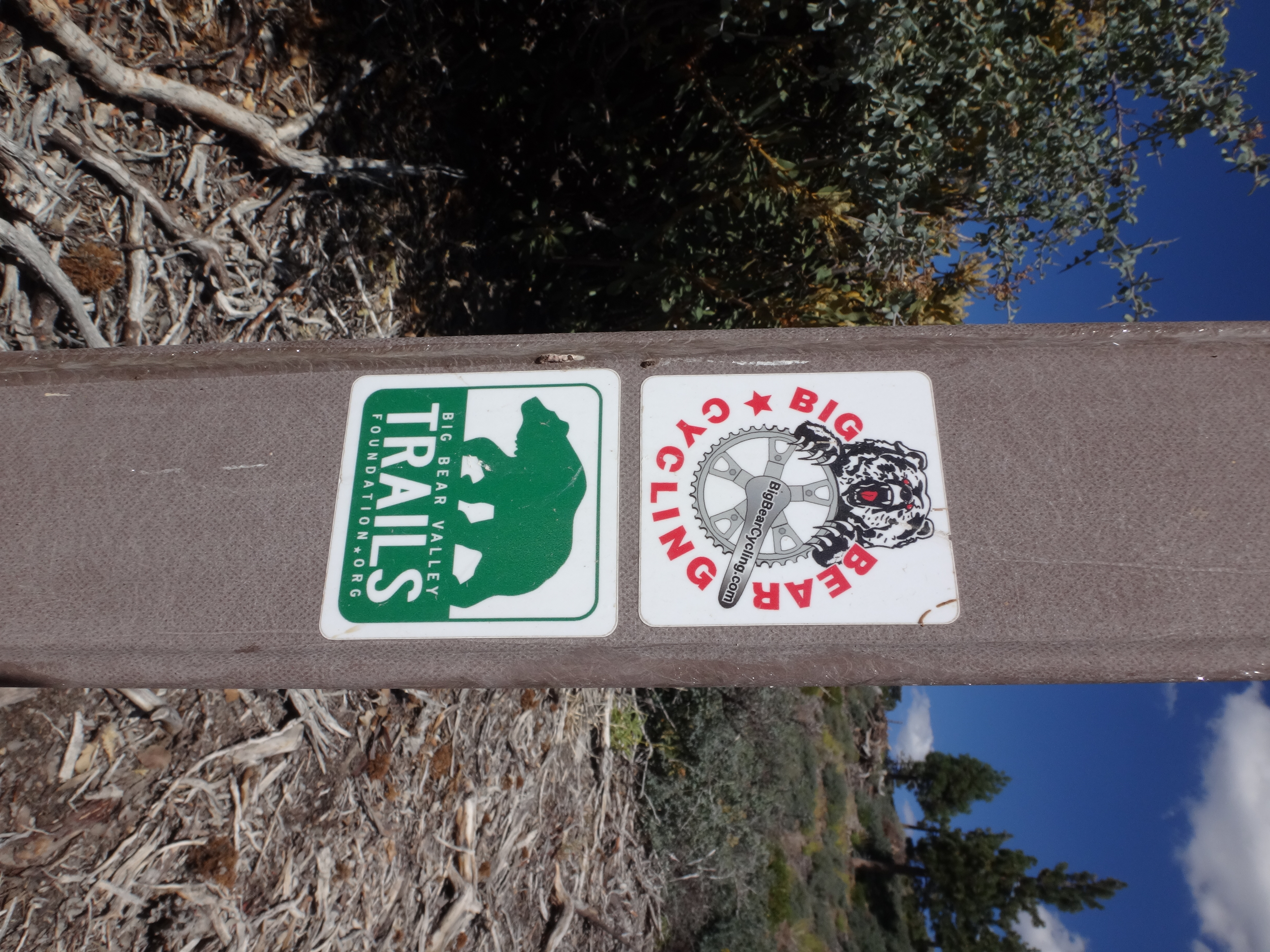
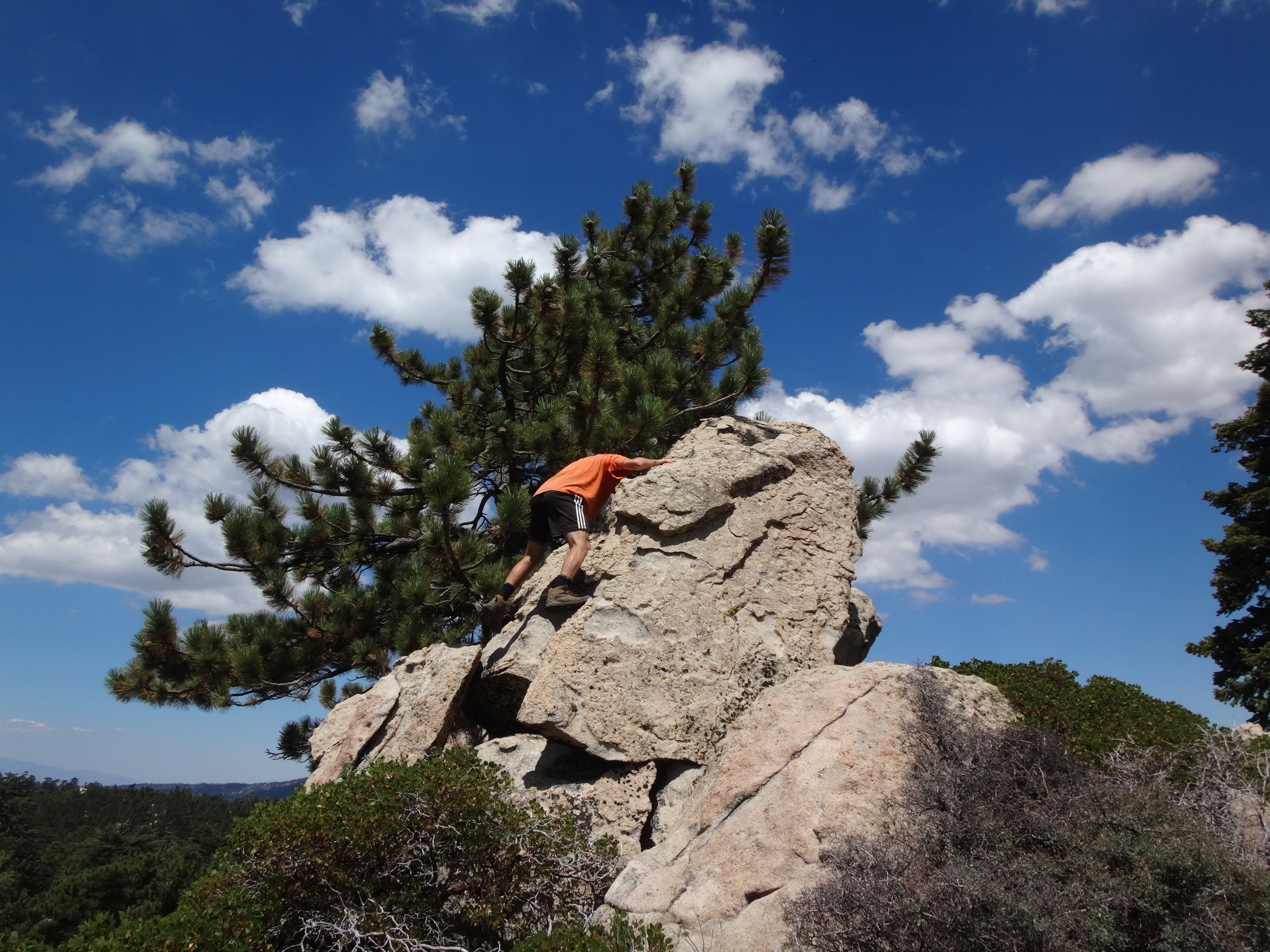
Our next stop was Clarks Summit. Judging by the pictures I took, the most interesting aspect of Clarks was Dima climbing this rock.
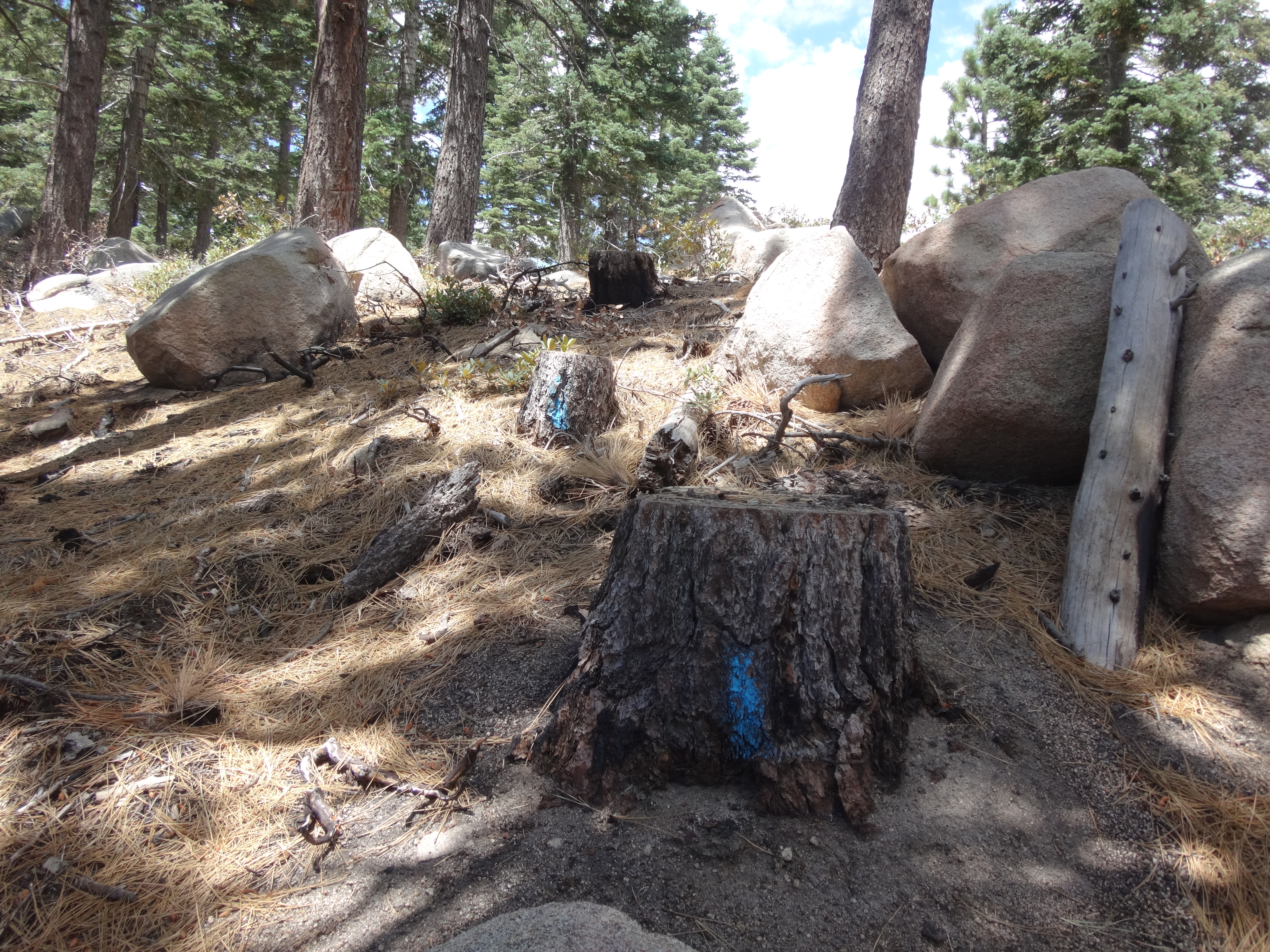
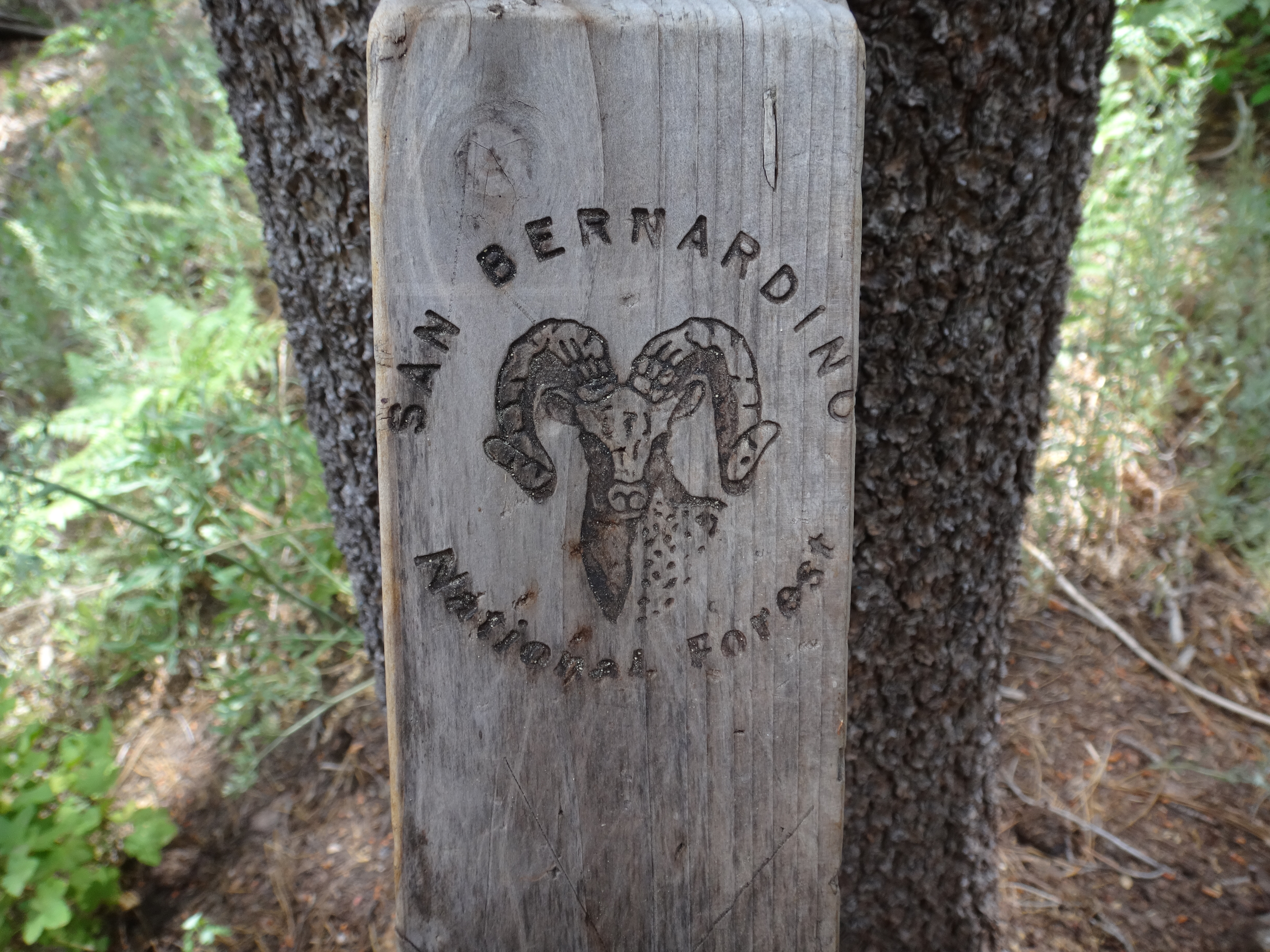
A close runner-up are these trail stickers.
During another break in the cool shade, we agreed to pursue Peak 8015' next, via the Bellyache Springs trail.
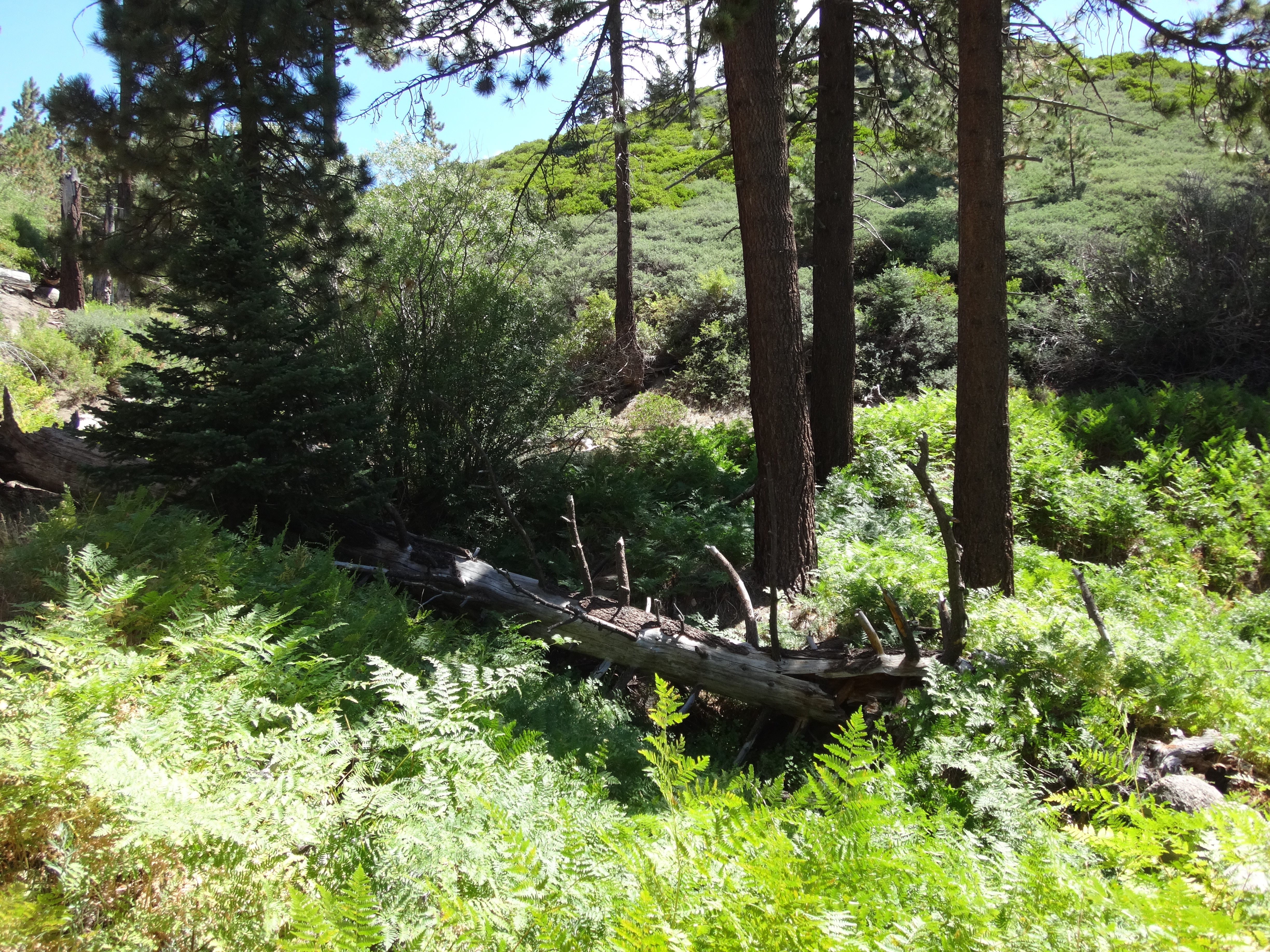
The springs were dry, but plenty of green ferns marked the location.
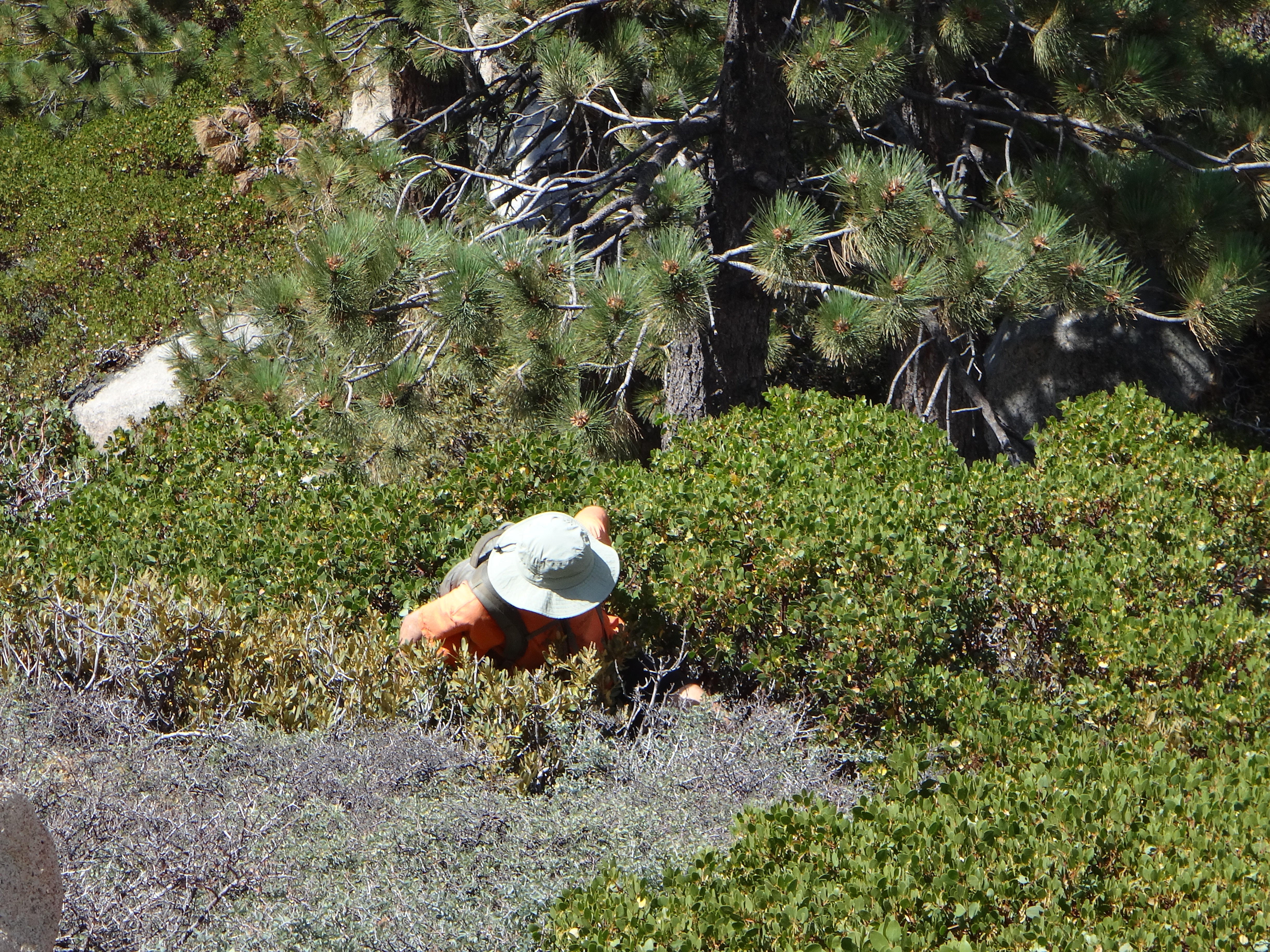
Here we said farewell to the trail (which continued on to who knows where) and scrambled a quarter-mile upslope to the peak. Naturally we selected a route with some thick bushes.
The summit contained a narrow class 3 block which provided some bonus fun.
Finally I was feeling some fatigue. It was 12pm. So we ate lunch before starting up again.
The next goal was Lookout Point (7920'), even further west about 1.3 miles from Peak 8015'. We dropped down from the summit and began swinging around the headwall of Deer Creek. Many trees and stumps had been marked with blue paint in this logging area.
We mostly followed rough logging roads to a junction with the Lookout Point Road. Then it was a short scramble to the Point.
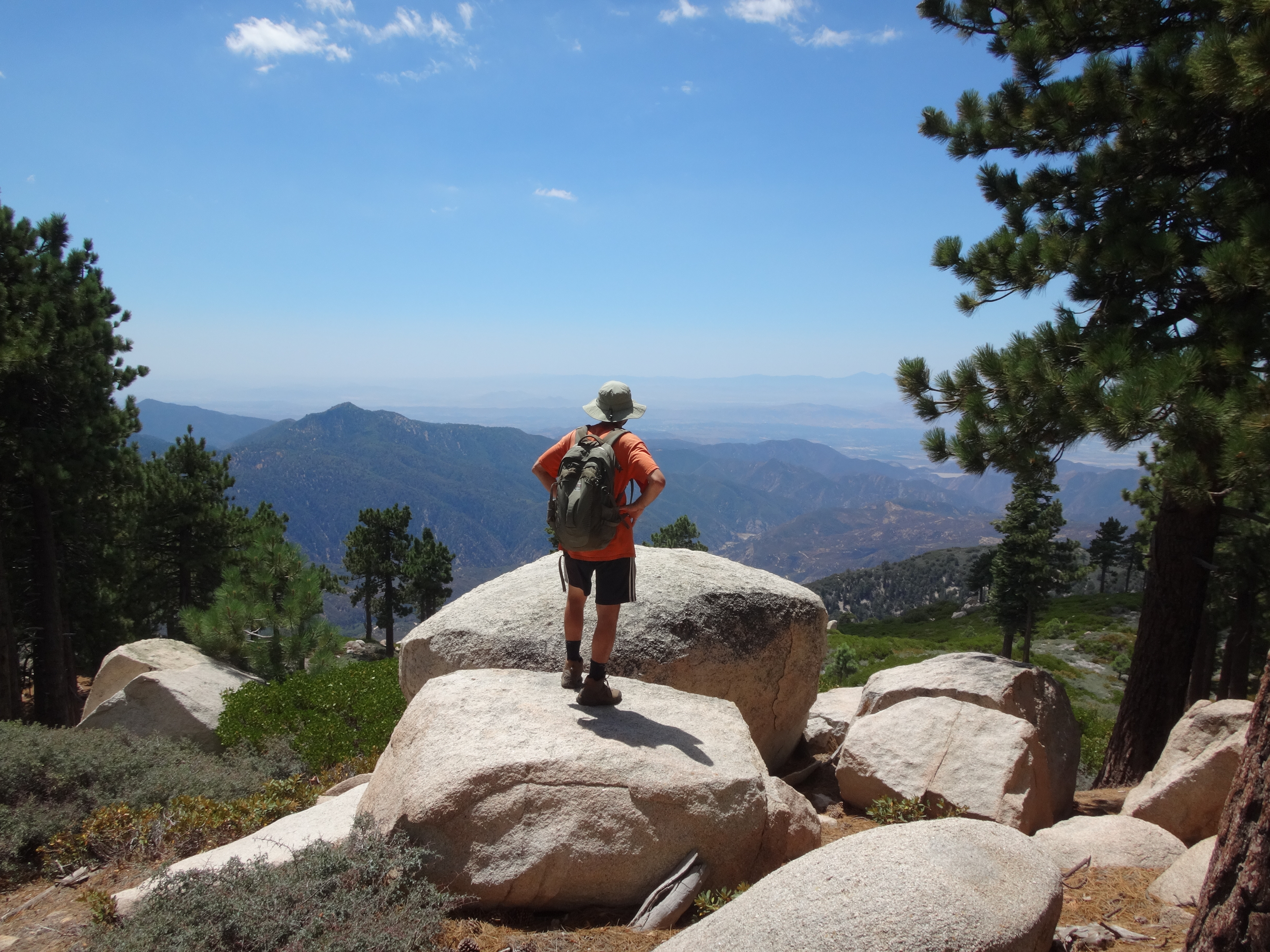
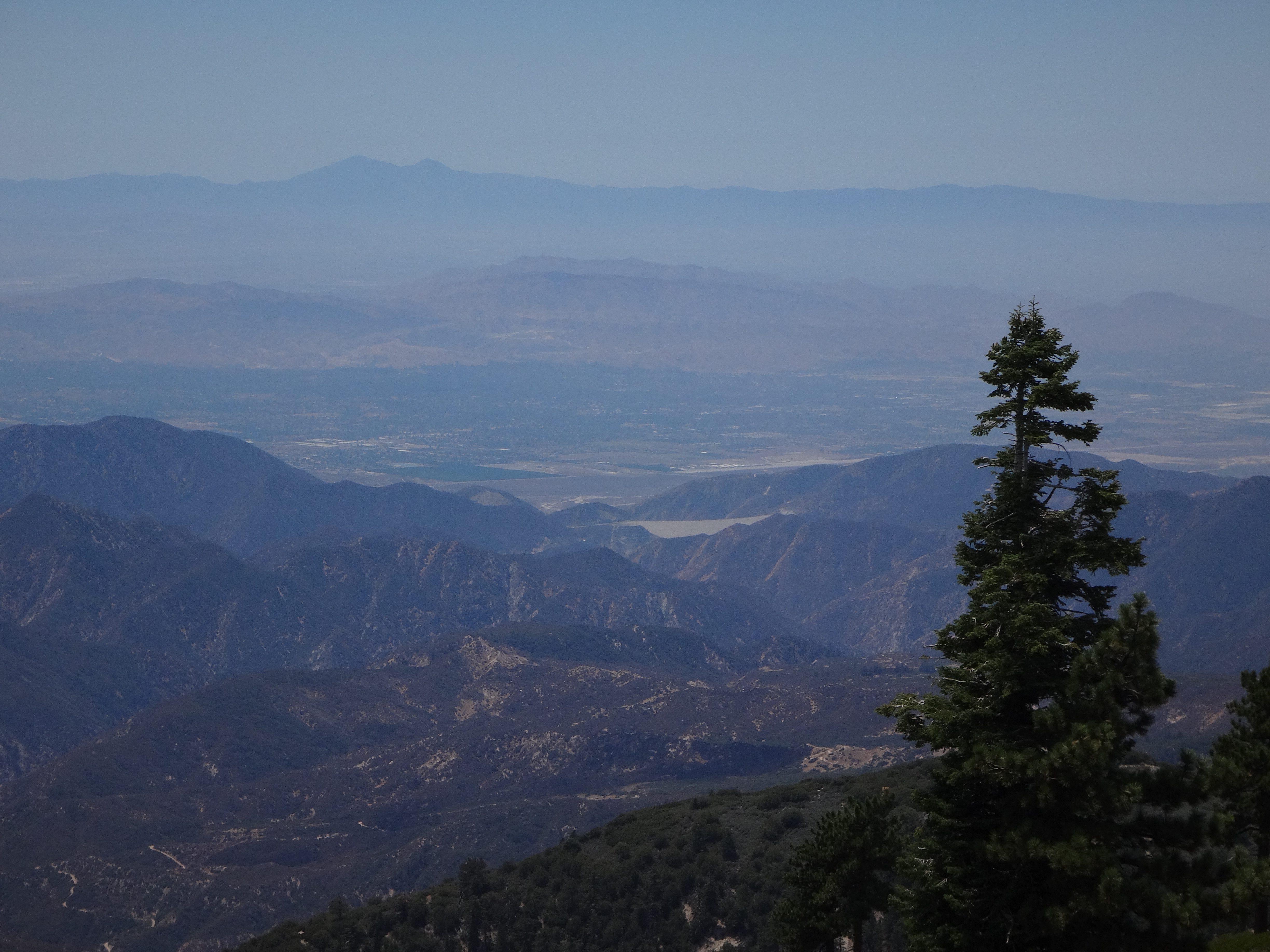
Now this was a pretty grand view, enabling us to look fifty miles southwestward to Saddleback.
Next we took the Lookout Point Road north to the Lodgepole Trail, which is named for a popular landmark, the 400-year old Champion Lodgepole Pine.
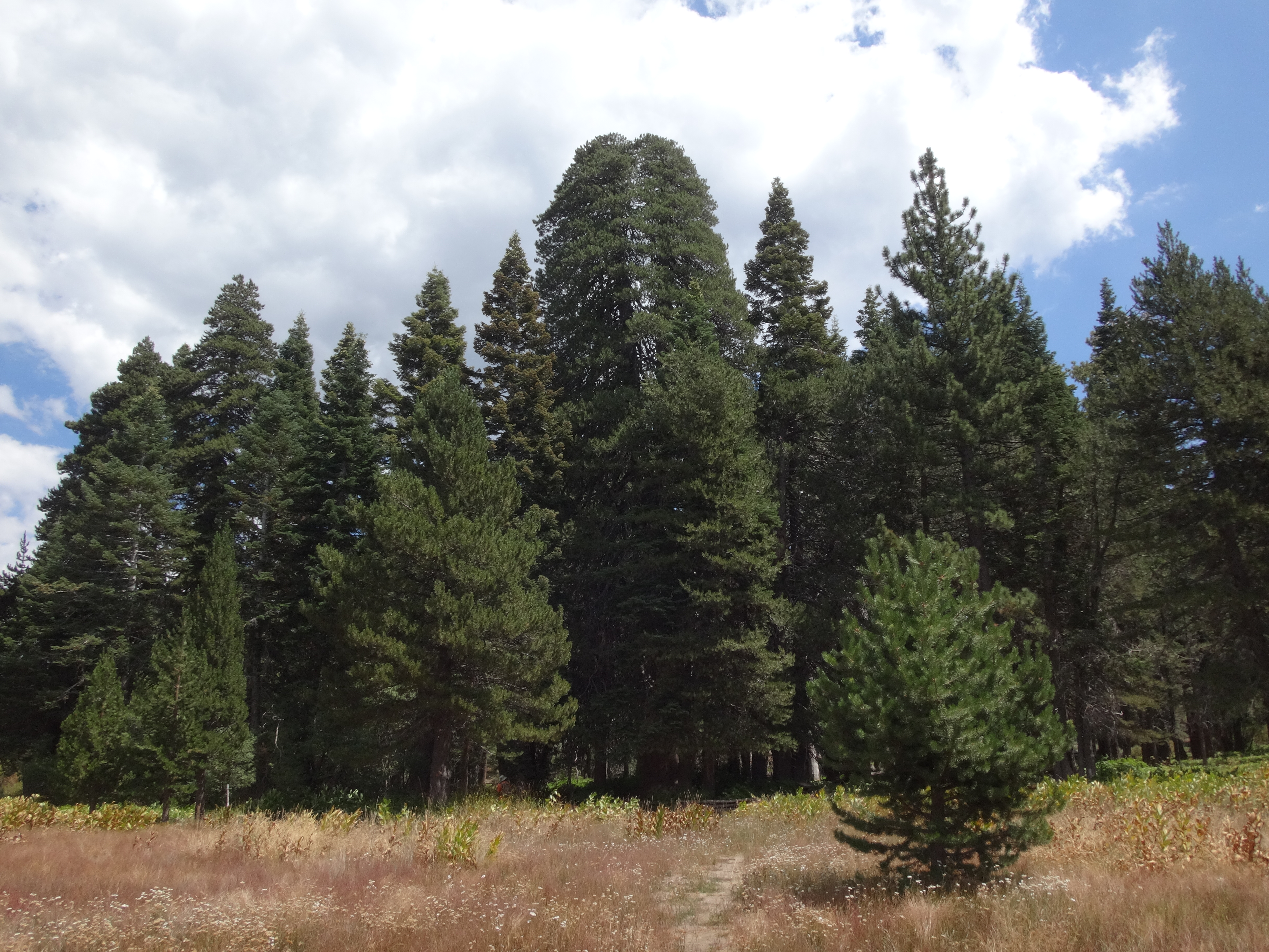
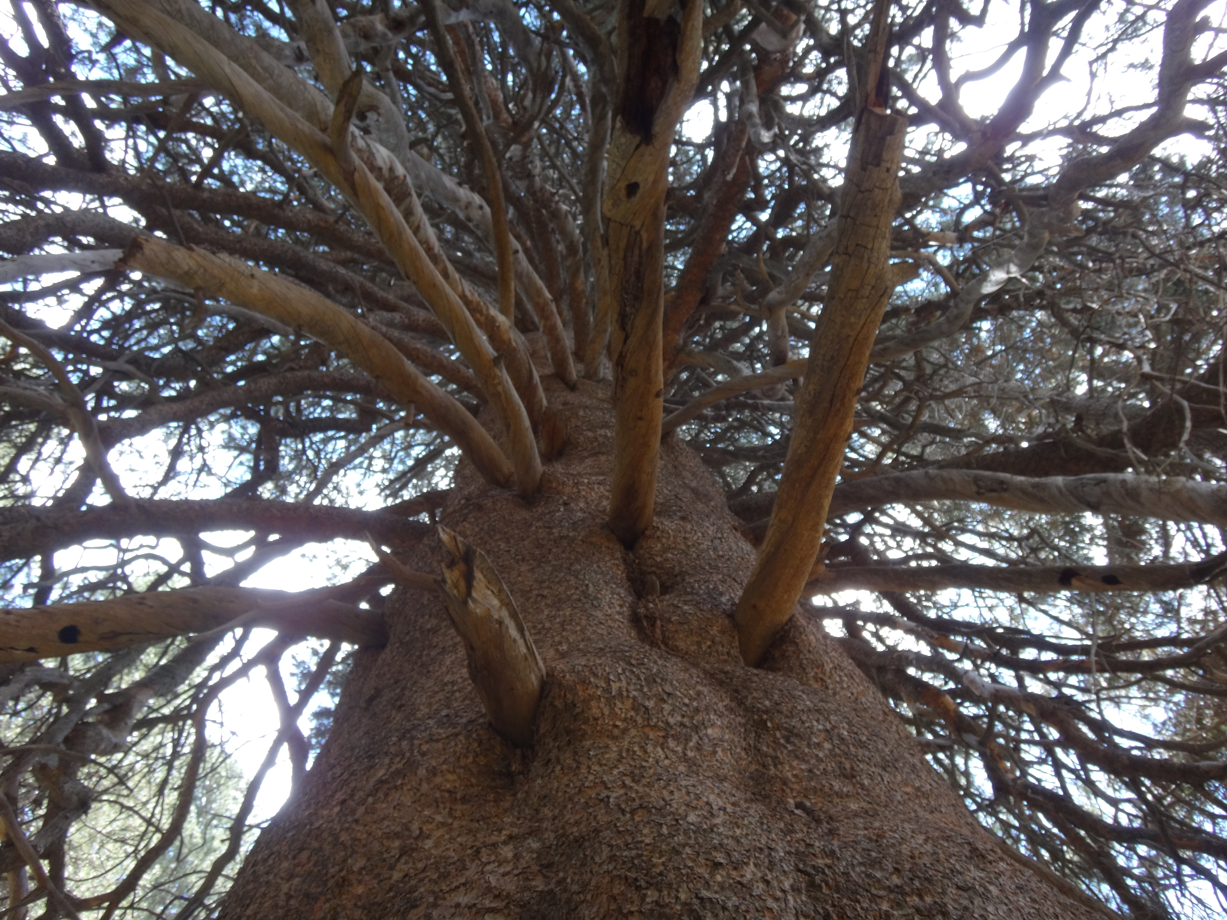
The tree sits at the heart of a central trail junction along Siberia Creek. A large trunk had been shaped into a chair.
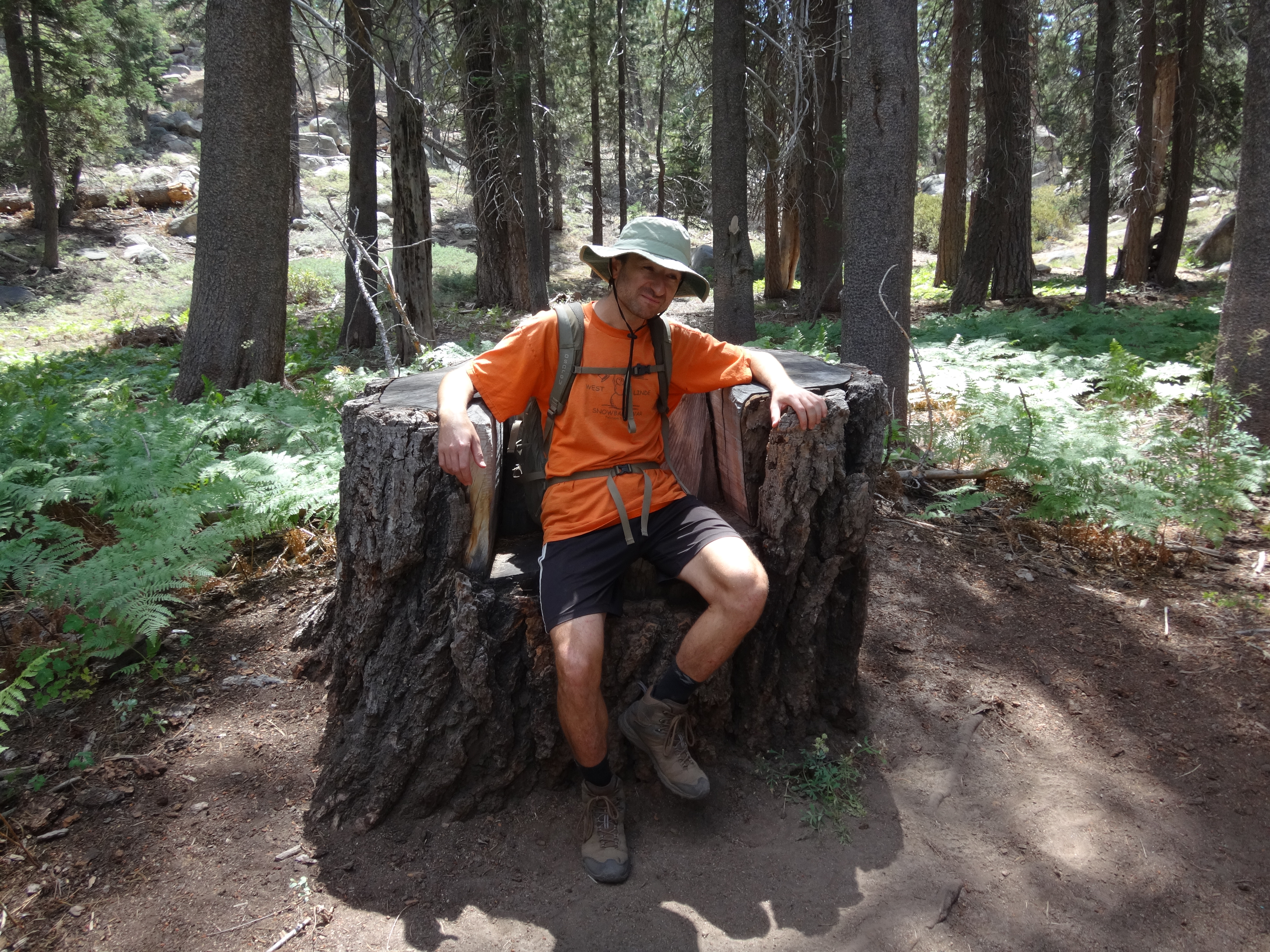
While Dima enjoyed his mighty throne, I snapped pictures of less significant objects.
We then switched over to the Siberia Creek Trail and followed it westward.
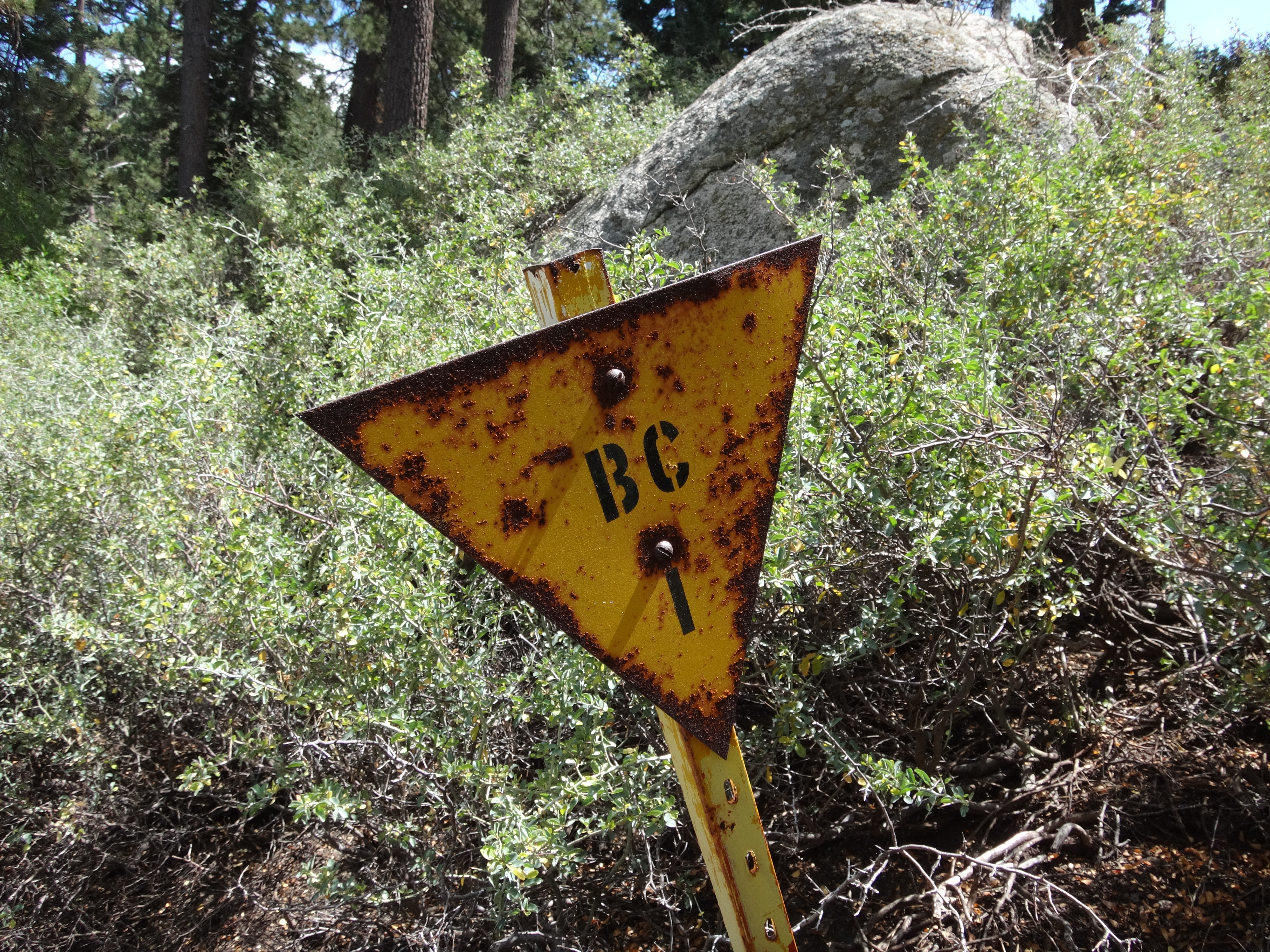
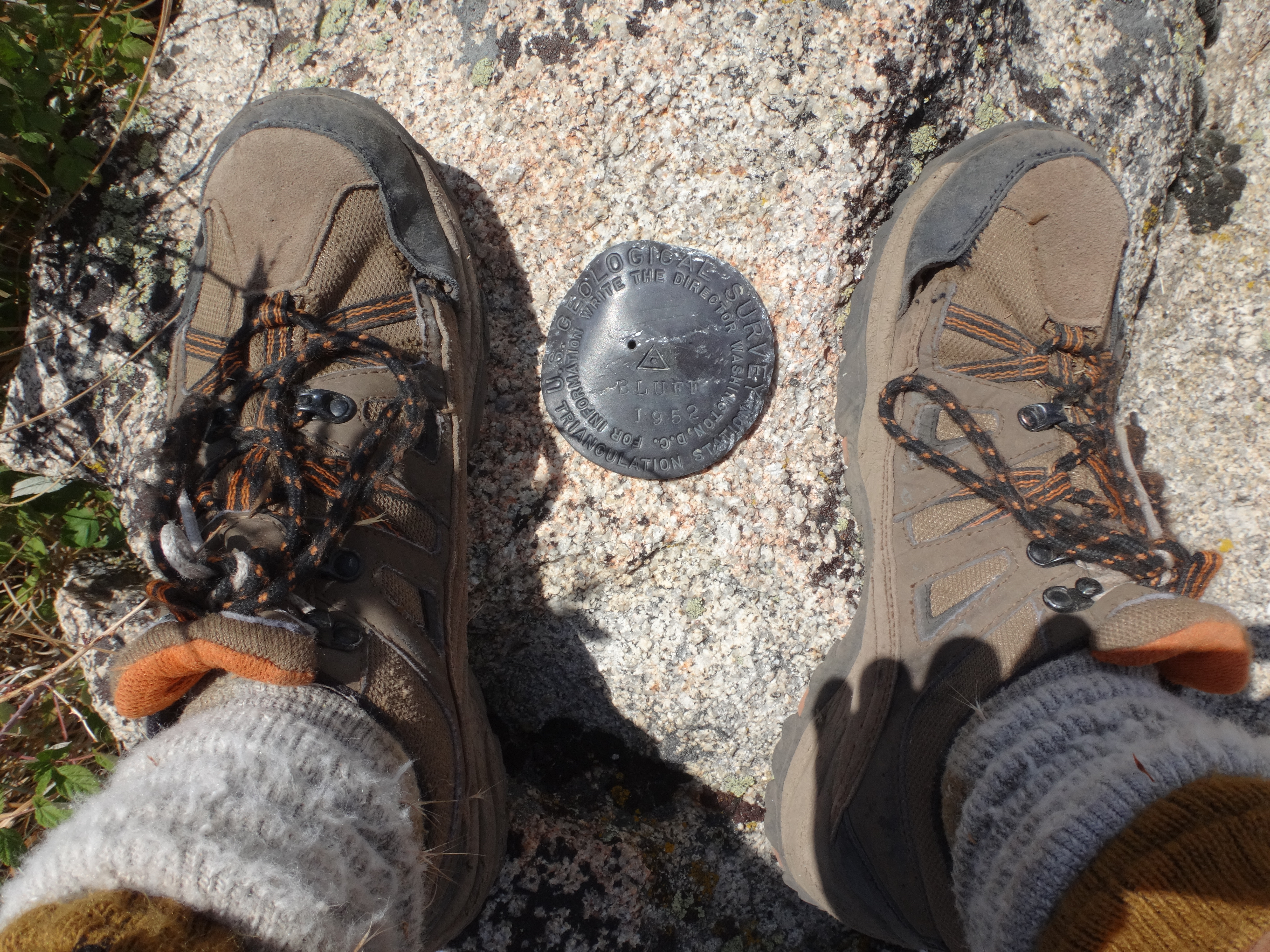
The muddy, trailside creekbed still held a few small pools. A spring at 7550' flowed weakly across the path. We were aiming for a ridge that would direct us to Bluff Benchmark (7694'). At 0.7 miles from the Champion Lodgepole, a yellow, triangular post marked the ridge.
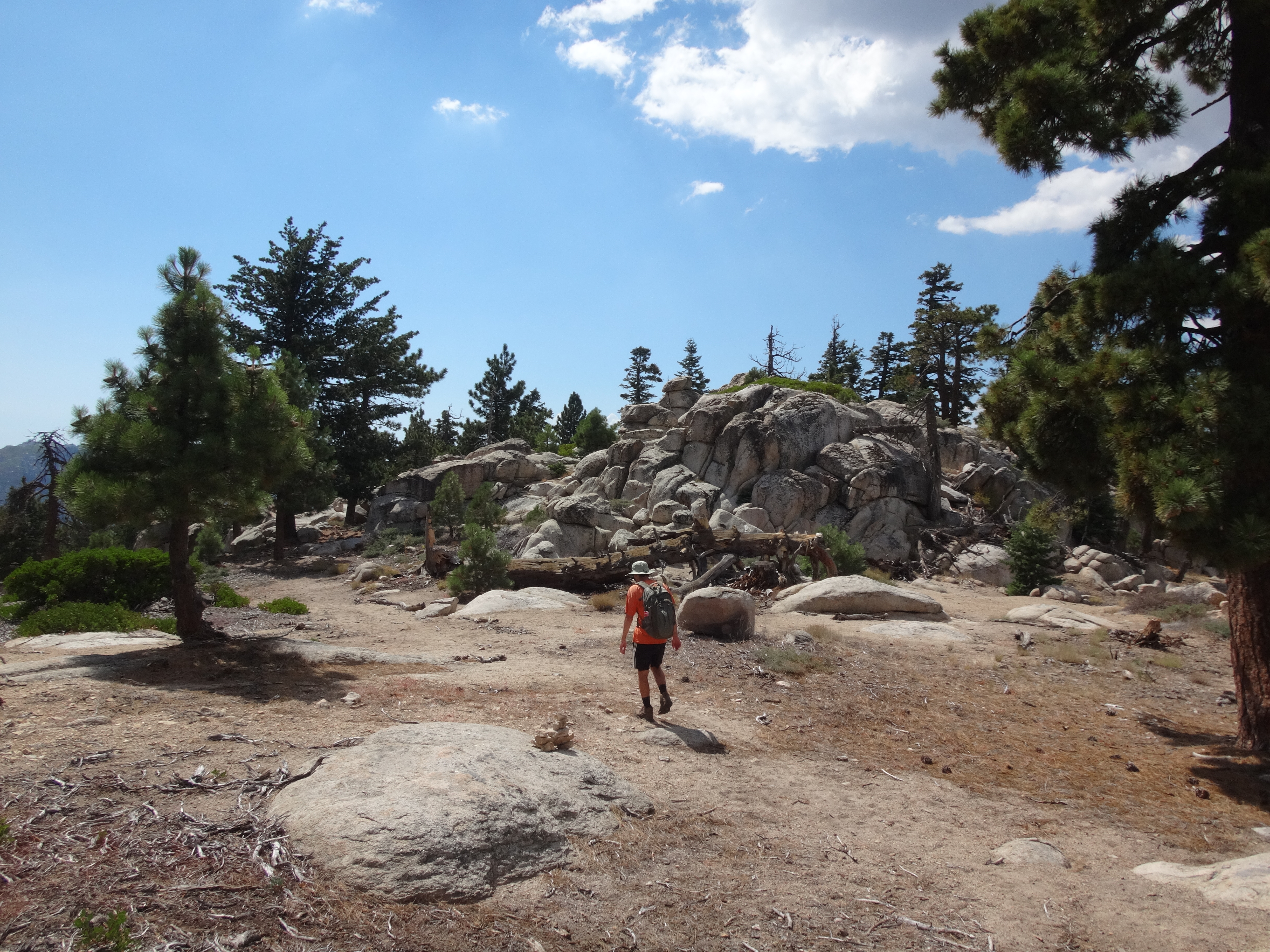
We then followed cairns upward through the rocks and trees.
It was a little difficult to distinguish false bumps from the one we wanted. But Dima had GPS tracking on his phone, and when we got close to the spot, we started looking around. With some luck, I noticed a reference mark on a boulder at eye-level. It pointed us to the correct outcropping.
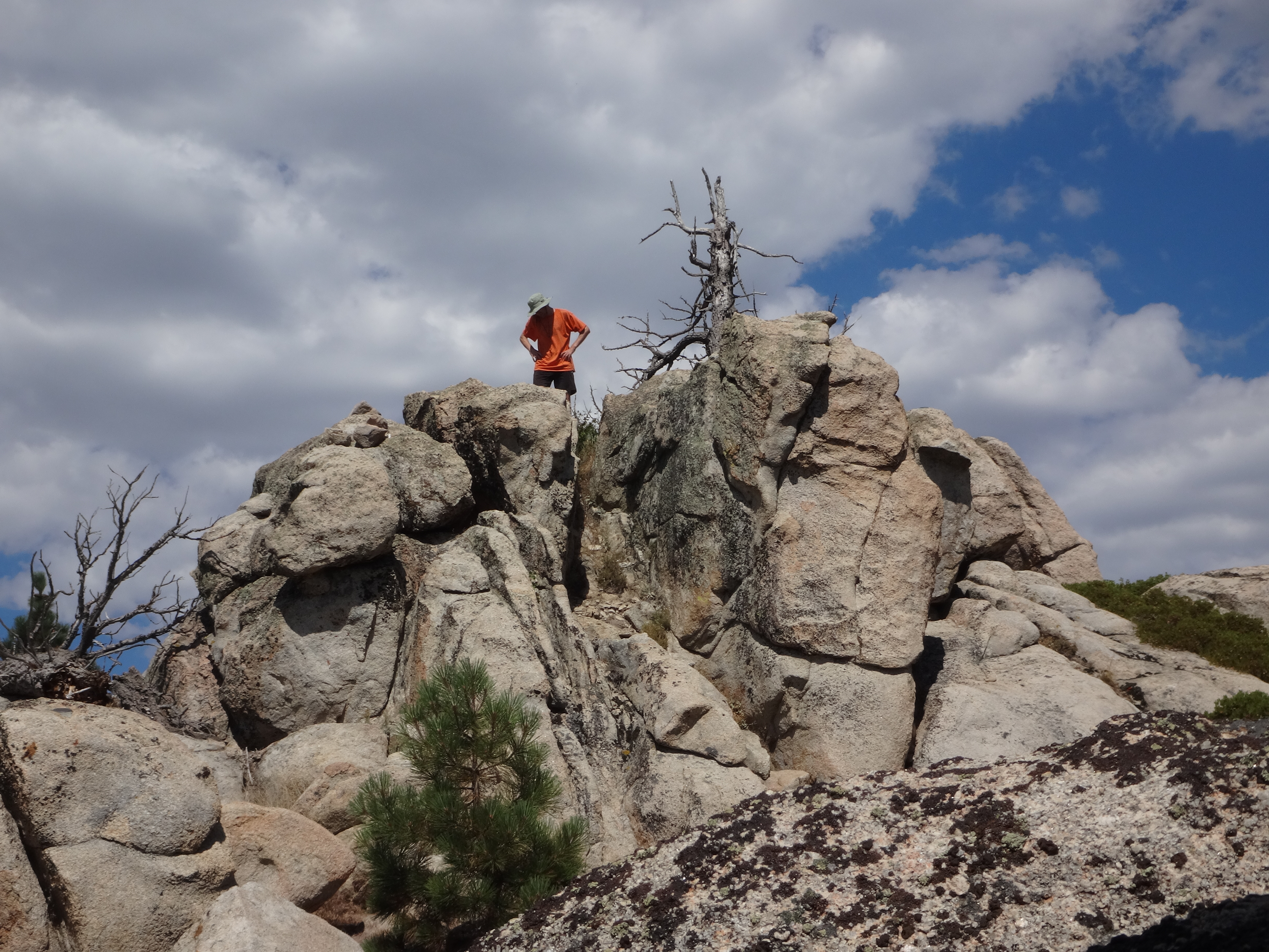
Interestingly, the cairns did not appear to be for the benchmark, as they continued on past the site.
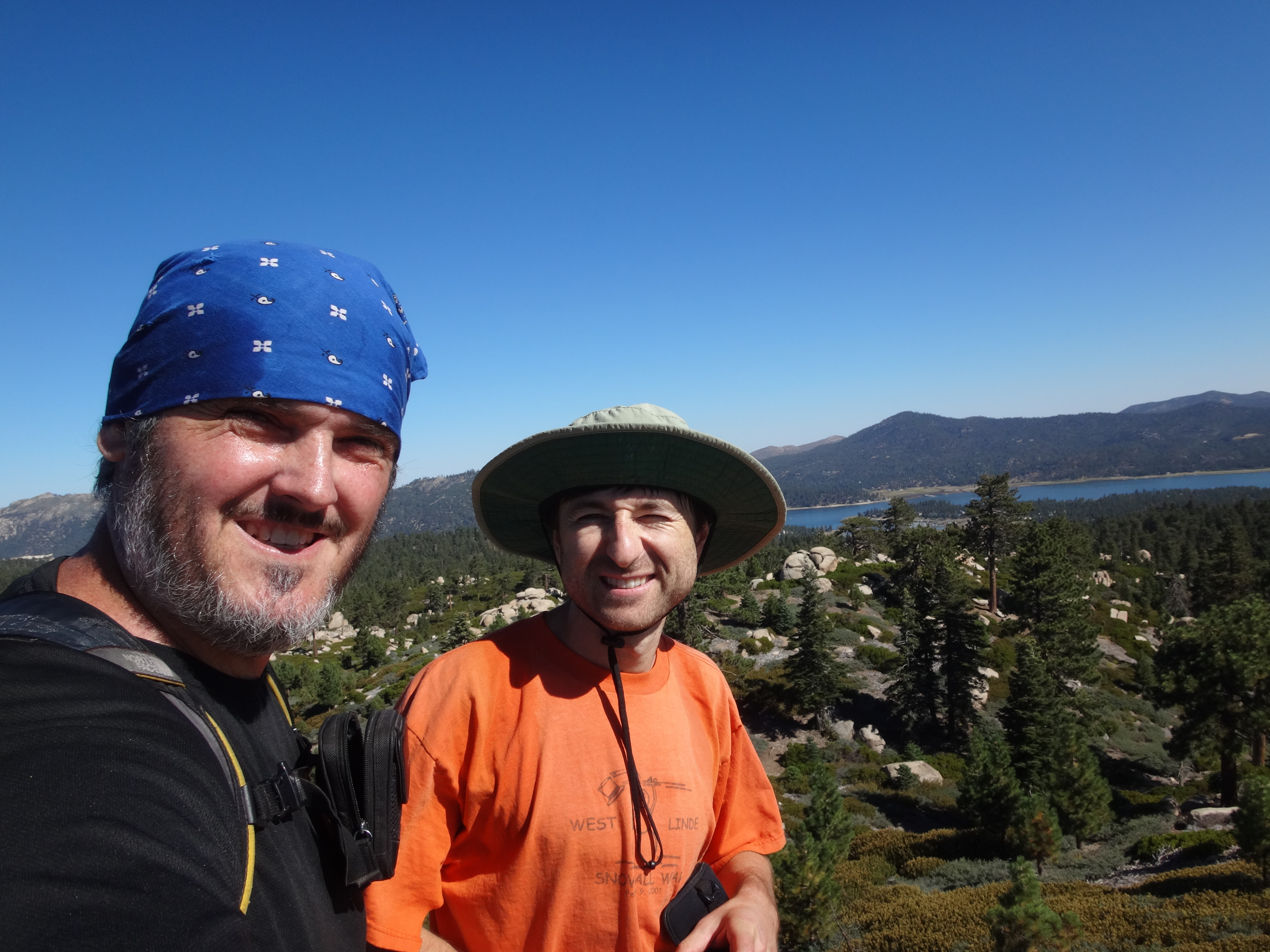
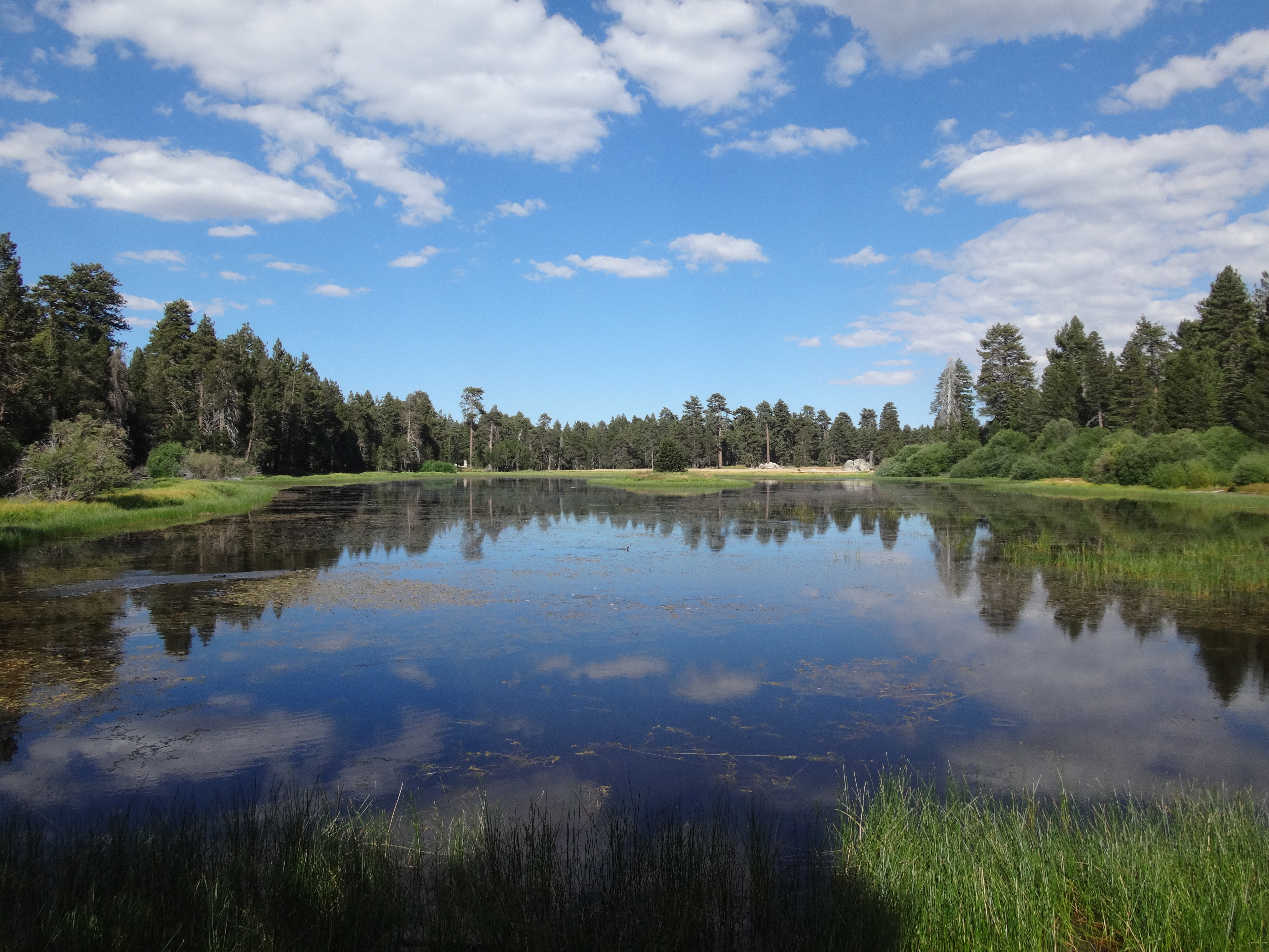
Done with the benchmark, we backtracked to the Champion Lodgepole and checked out nearby Bluff Lake.
Several people were wandering around the lake trails. A little girl showed Dima a frog she had caught. I filled up a bottle with the green, pond scum water. A couple asked if was going to drink it, and I explained that it was only a backup and that I would treat it first. Thankfully, though, during the five-mile fire road return to the car, we found much better water in Metcalf Creek, and I was not forced to consume the green slime.
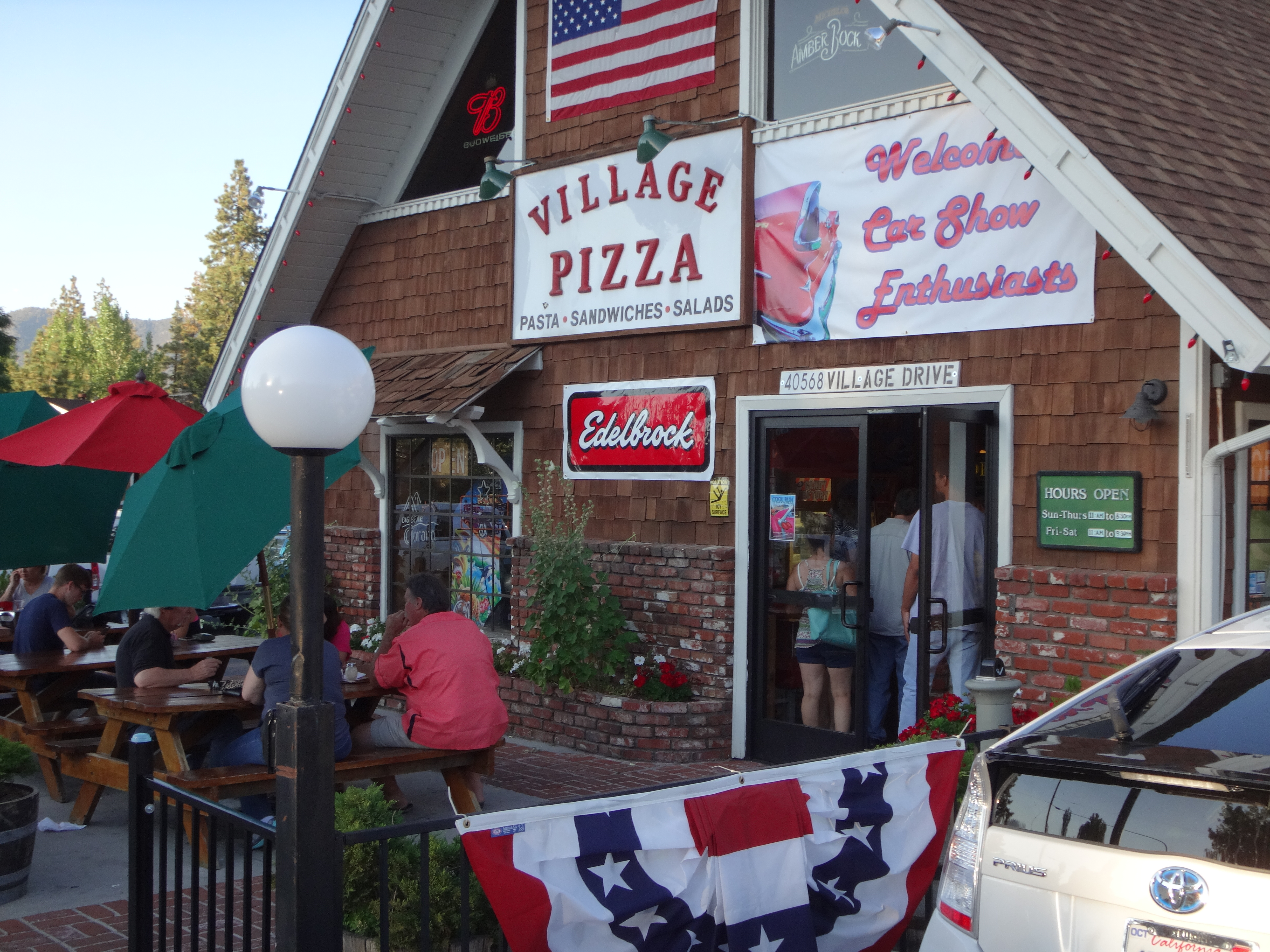
I was, however, compelled to consume large quantities of pizza and chicken wings once we cruised into the village after finishing our 17-mile adventure.