It took some planning to make this trip (the first of our 2016 Summer Series of hikes) happen at all, primarily due to juggling water availability, our hiking ability, and, most importantly, finding a way to leave our car at the far end. Somehow, it all came together, and we got dropped off by our son on a dirt road up in the hills above Fawnskin, north of Big Bear Lake.
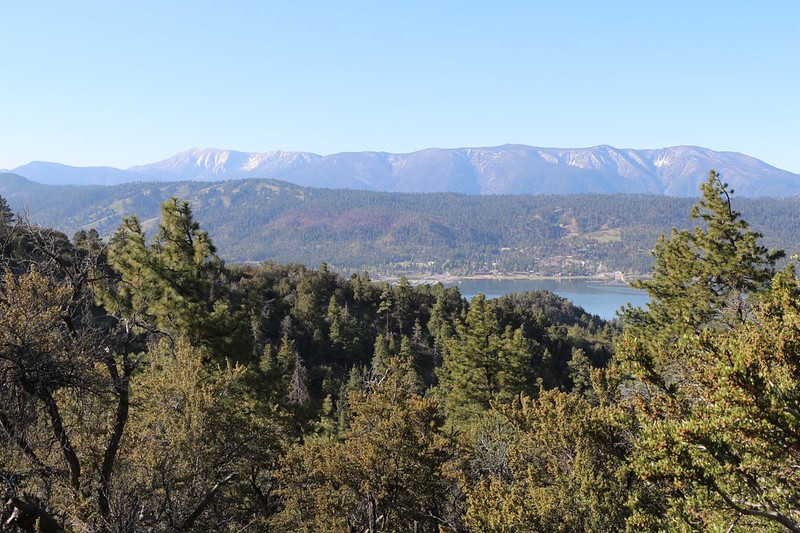
View south from the PCT toward San Gorgonio Mountain and the Nine Peaks
The trail began along the south side of the ridge, on the "Pacific" side of the crest, and we had fine views of the lake and the remaining snow on San Gorgonio. But soon thereafter it crossed the ridge to the "inland" side, which drains into the Mojave Desert, and the view changed completely. There were still plenty of big trees, but you could tell that the land was drier.
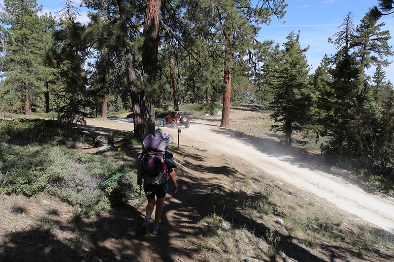
Choking on dust clouds from off-roaders where the PCT crosses Delamar Mountain Road
Now, this area is part of the San Bernardino National Forest (not the wilderness) and there were dirt roads here and there. We would hear (and see) vehicles every so often, but it wasn't bad. I liked it, in a way, because I knew that there were more people out here having fun on public land, and they weren't hurting much of anything. Except the sensibilities of elitist backpackers, of course, and I have been known to be guilty of being one of them. We elitists never mention that we wish we owned an awesome 4WD vehicle. But we would use it exclusively to get to even more remote backpacking areas, of course, and never for the pure joy of driving one.
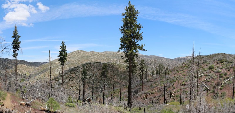
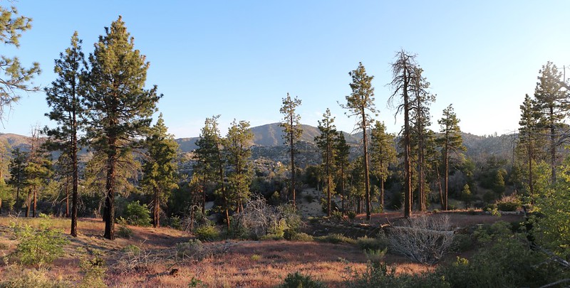
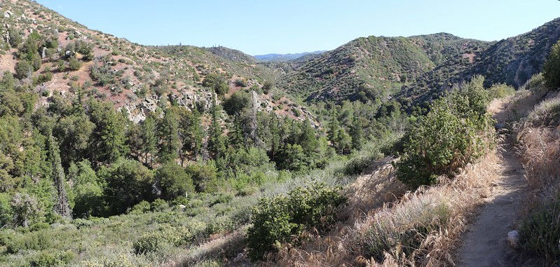
Panorama with sparse pines looking across Holcomb Creek
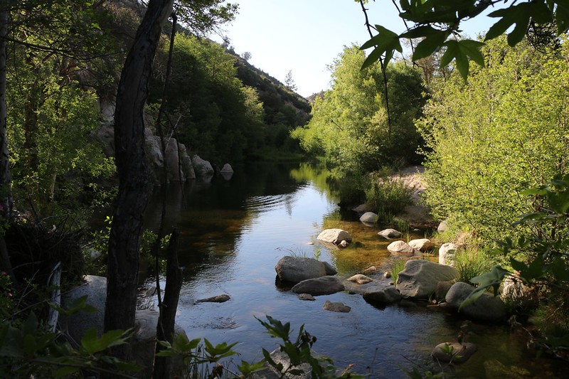
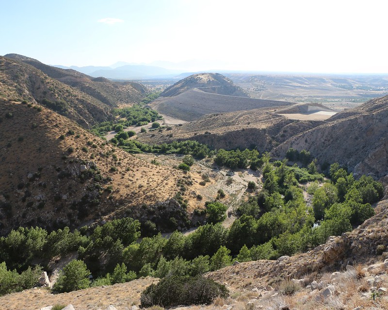
The trail follows along just above Holcomb Creek.
After a couple of miles there was water! Just like the PCT Water Report said. We filtered a couple of gallons to replenish our supply, and carried one of them with us uphill, as the trail left the creek temporarily. Our plan was to camp up high, with a view if possible, and the extra water would be for dinner and breakfast.
The view west from our 1st night's campsite.
It was hot, but there was a nice breeze up there. Still, we knew from the weather reports that it was predicted to get hotter each day, and meanwhile we were hiking downhill into the Mojave desert, which only meant that it would be even hotter! We ate dinner, then went to sleep just after sunset. We were pretty much exhausted after hiking ten miles. And it didn't help that we had woken up around midnight in order to leave San Diego at two in the morning. What a day!
Day 2:
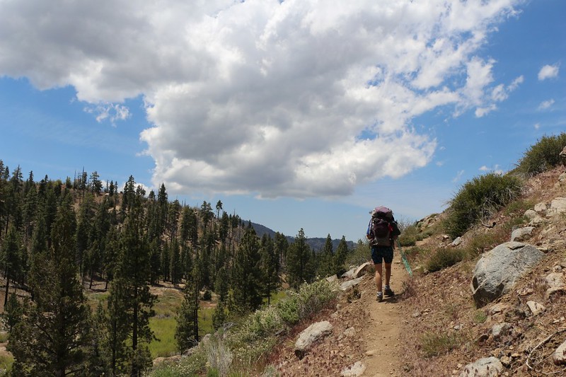
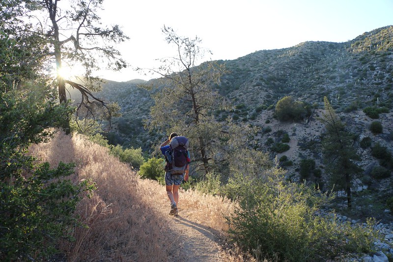
It was going to be a hot day so we woke up before dawn to get hiking early, while it was cool
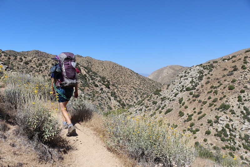
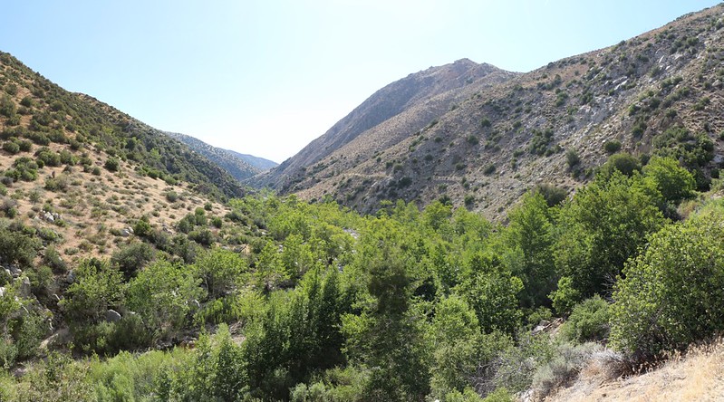
Our plan for the day was to hike about eleven miles, camping somewhere near the Devil's Hole on Deep Creek. The trail initially dropped back down and continued following Holcomb Creek, so we had plenty of water available, but then it left the creek and ventured across some high country, eventually dropping back down to Deep Creek. From that point on, the trail would follow Deep Creek all the way to the Mojave Desert. Water availability would no longer be an issue for us, which was comforting.
A row of pine trees in the morning light. We began hiking just after dawn.
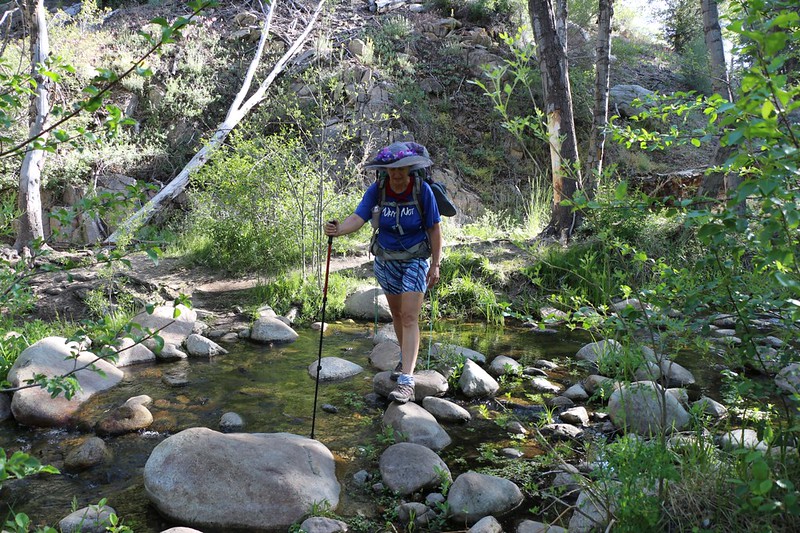
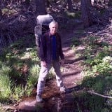
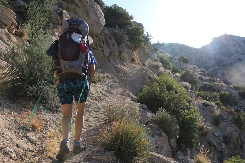
Vicki crossing Holcomb Creek. The trail crossed the creek several times.
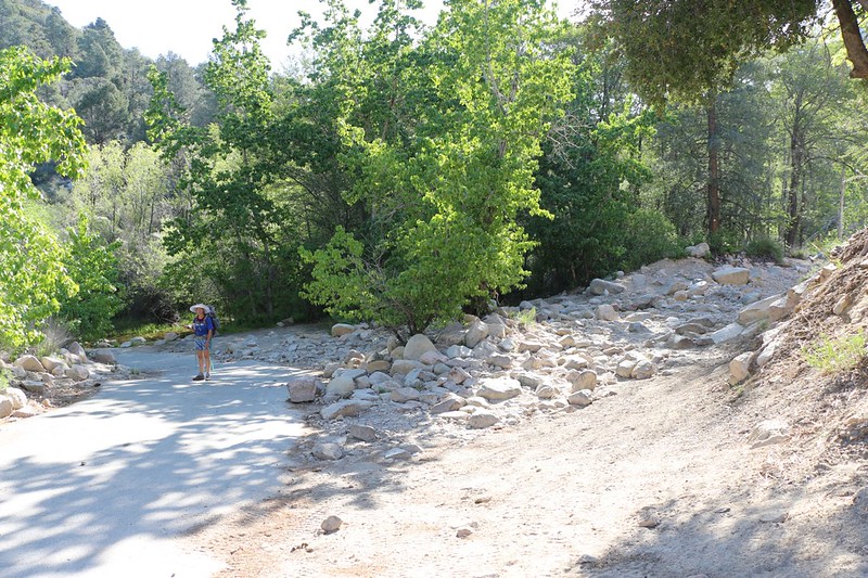
The insanely rocky (and 4WD only!) beginning of Road 3N93 where it begins at Road 3N16
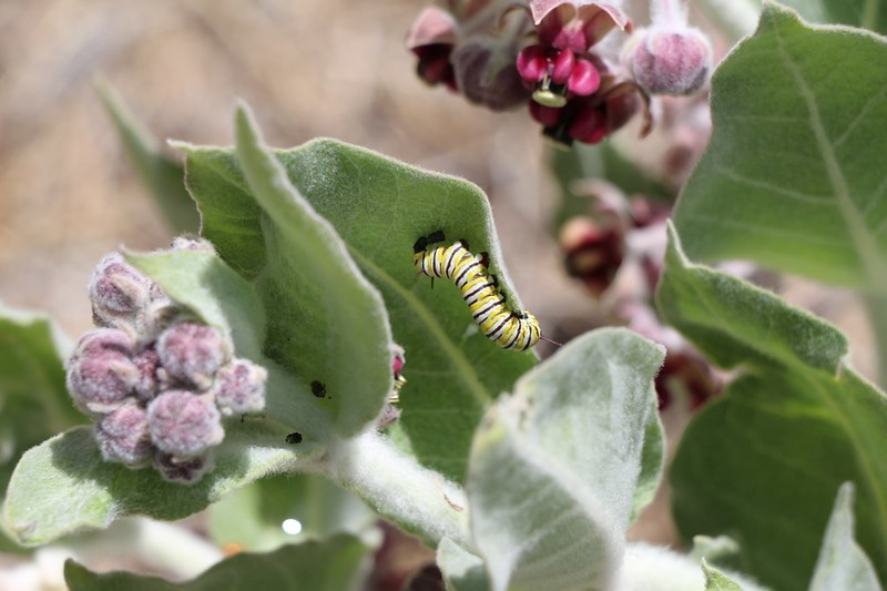
California Milkweed with Monarch Caterpillar at Bench Group Camp
We took a longer rest at this campsite, and filtered some additional water, as the trail was leaving Holcomb Creek. We were sad to leave the creek, but we knew that we would see it again, as it eventually joined with Deep Creek in a few miles. We weren't sure why we had to climb uphill in the hot sun across a waterless wasteland, and questioned the abilities of the trail designers. (But we found out why, later on.) It was roasting up there. We sweated and grumbled our way uphill, and eventually stopped hiking completely, taking a long nap and siesta in the shade of some pine trees. Unfortunately, we still had five more miles to hike that day, so we ate some lunch and continued on. But at least it was downhill from that point on!
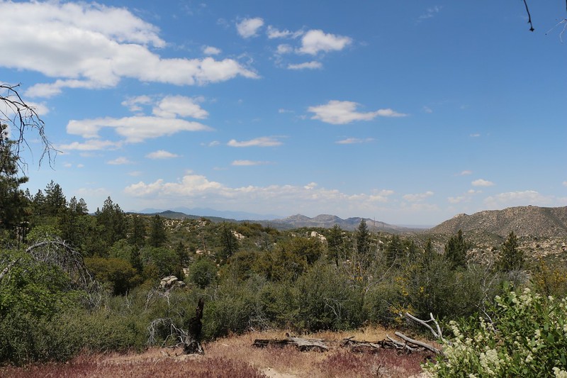
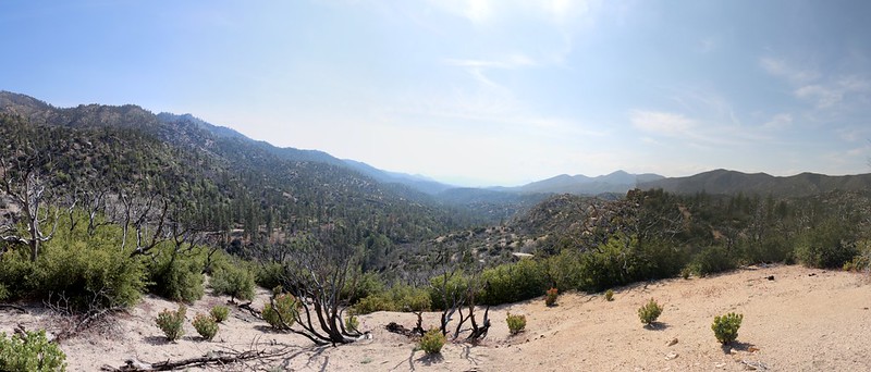
View west with the San Gabriel Mountains in the far distance, not far from our siesta spot
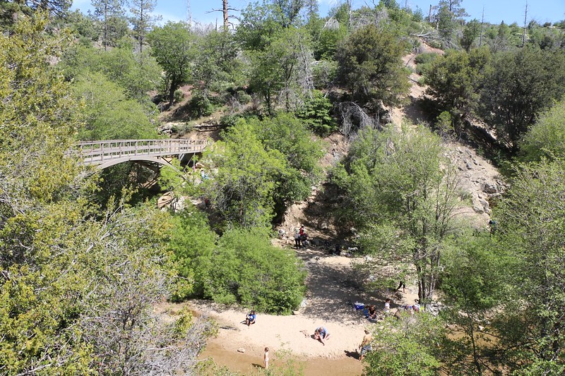
The arched metal bridge with people having fun down below in Deep Creek at the Splinter's Cabin Day Use Area
Zoomed-in view of a man jumping off a cliff into a deep pool in Deep Creek
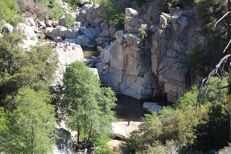
Looking back south along Deep Creek toward its confluence with Holcomb Creek. Tough spot for a trail down there!
Eventually, the trail dropped down from its lofty position high on the side of the deep valley that Deep Creek has carved for itself, and we arrived at the Devil's Hole, which I had planned to camp near. Unfortunately, the metal signs plainly stated that there was "No Camping. Day Use Only." and there we were, tired and sad, with no place to call home.
I filtered water alongside a quiet pool at the Devils Hole Day Use Area
We eventually came up with a plan: Vicki liked the idea of hiking in the cool weather of evening, so I searched the map for another place to camp, further down the trail. We would eat dinner right here, thus saving some water-weight; we would only carry enough for breakfast. The map didn't look good, but I figured that the worst-case scenario would be to find a spot on a ridge three or four miles further. Maybe we'd be lucky and find a tiny spot sooner, but I didn't have much hope, as the trail stayed directly in the center of the slope on the steep side of Deep Creek. Flat land is in short supply. Hiking all the way down to the creekbed (or up to the ridge) without a trail would be brutal with full backpacks.
Eating dinner helped a lot. We gained new energy and began hiking, our gaze sweeping from side to side, looking for a camp spot. We didn't need much, but we didn't want to spend the night on a slope, all bunched up in the bottom of the tent, so it had to be a REAL spot.
Hiking into the sunset, hoping to find a campsite before dark
In the end, we hiked for several miles, and finally found a small spot not far from my "worst-case" location. And we didn't find it until after I had attempted to bushwhack up to the top of a small ridge. Sad but true.
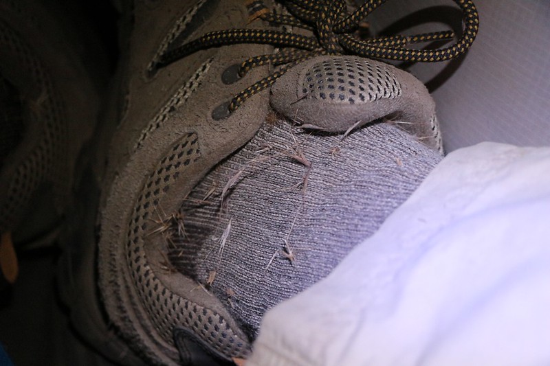
Finding the campsite took its toll as I ended up with lots of Foxtail Grass Seeds poking me through my socks
Just the same, we got to bed, and we'd managed to hike almost fifteen miles that day! That's an impressive day for us. Plus, we'd have less to hike tomorrow, when it was supposed to be positively roasting.
Day 3:
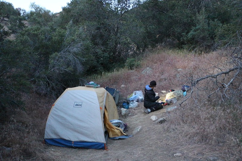
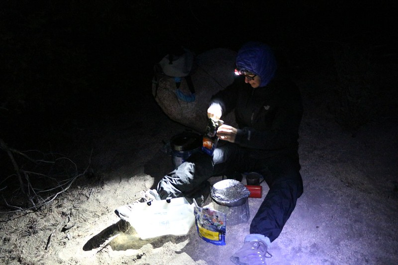
The camera makes it look like day, but Vicki's headlamp is still on, as we get ready before dawn
The PCT keeps going up and down, and here we are going up in the morning sunshine, and it's hot
A few miles later, we rounded the corner and arrived at what could only be called the highlight of the hike: Deep Creek Hot Springs.
Were there Nudists and Hippies there? Oh, yes. Did I take any photos of them? Oh, no.
But all humor aside, it was a very mellow scene at the Hot Springs. We showed up at 9AM, so people were just waking up. It was Monday of Memorial Day Weekend, and nobody really wanted to do anything yet. Especially not pack up everything and climb up that hot trail to the cars. So things were quite relaxed.
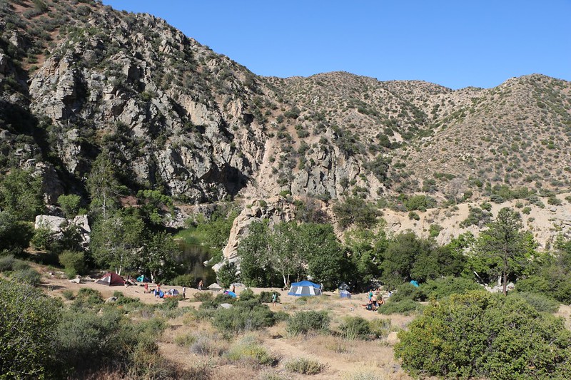
Memorial Day weekend campers at Deep Creek Hot Springs. The sign said: "Day Use Only. No Camping"
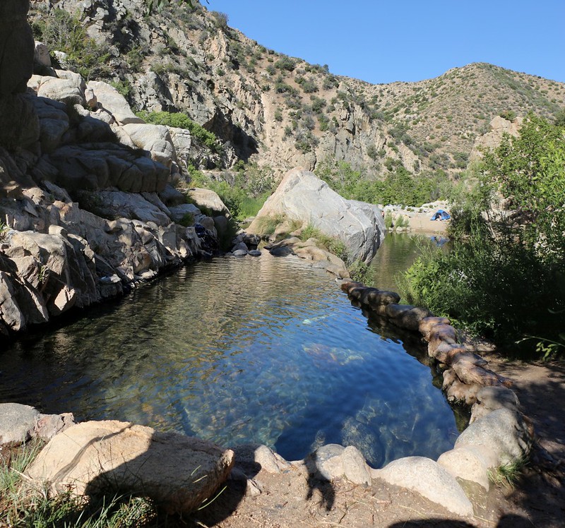
One of several Hot Pools at Deep Creek Hot Springs
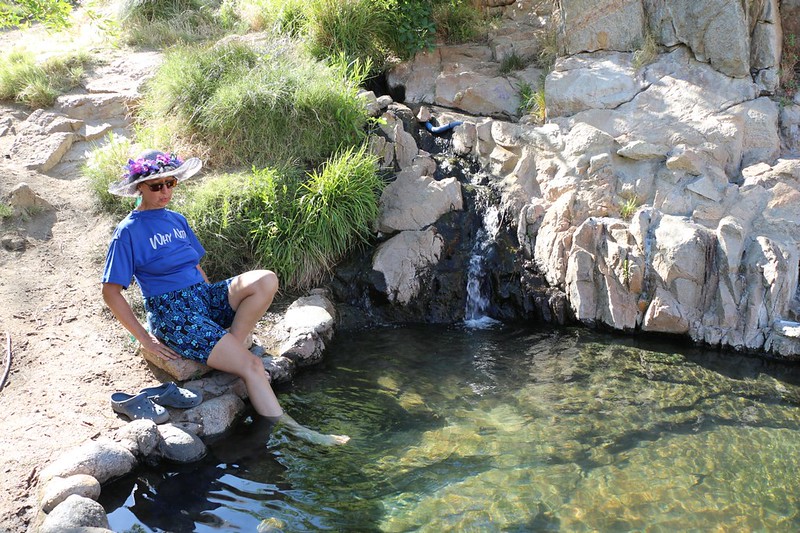
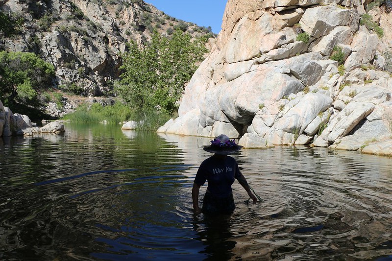
Vicki tests the temperature at Deep Creek Hot Springs - it was HOT
The hot springs were quite hot! And the water wasn't stinking of sulfur, which was what I was expecting. Very nice. In the past folks had built stone walls to contain the hot water, leaving the native granite slabs on the bottom, and there were several of these pools, at the perfect depth for bathing. Each pool had it's own temperature, interestingly, and one of the locals showed us the "warm" pool. This was more our style. Still, it was too hot outside already, so we mostly just hung out by the creek.
Vicki wading in the cool creek at Deep Creek Hot Springs
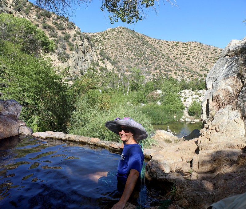
Vicki finds the warm pool - it was MUCH more comfortable than the hot ones
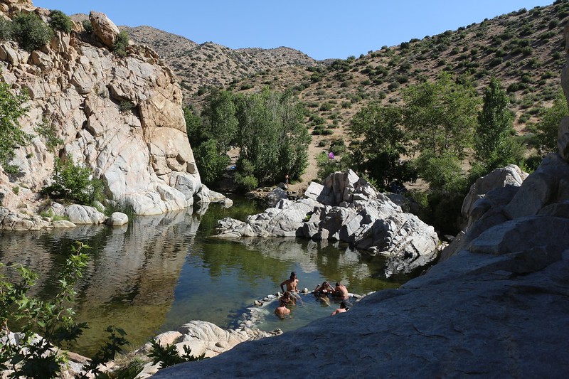
People relaxing in the morning sun at Deep Creek Hot Springs
But we only stayed there for an hour or so. We needed to make some distance before it got too hot. Our plan was to make it to the footbridge where the trail crossed the creek, and then take a VERY long siesta. If we could find a nice spot with plenty of shade, we'd stay there until late afternoon, when the temperature finally began to cool.
We reach a high point and it's already very hot at 10am - just a couple more miles and we'll rest
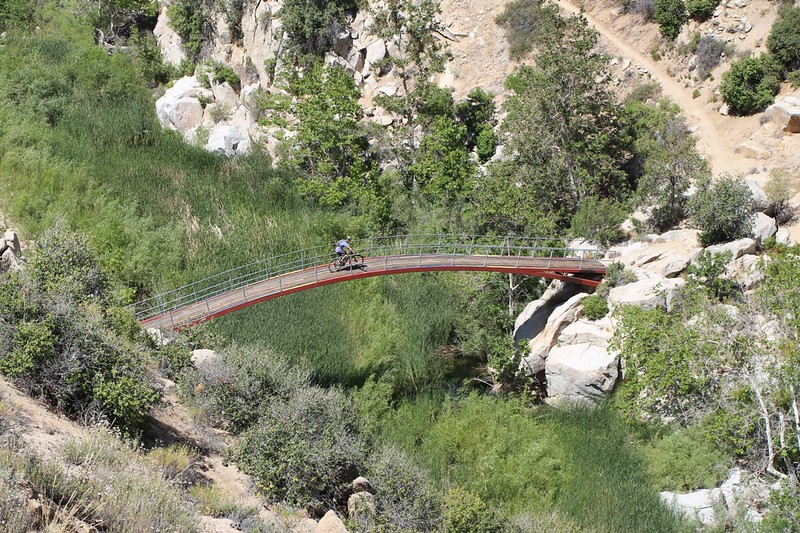
The beautiful arched bridge across Deep Creek at Pacific Crest Trail mile 310. No bicycles allowed on the PCT!
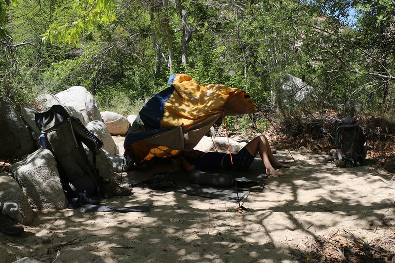
We found a sandy spot in the shade down in the trees by the creek
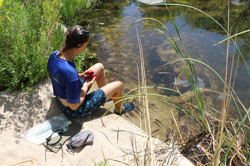
Bluegill Fish in Deep Creek are checking out Vicki's Feet
We spent a total of SIX HOURS sleeping on the sand and reading books, hiding from the sun down there. It was excellent, as the sand was extremely soft. It was also fun to hear some gigantic bullfrogs croaking to each other. Their voices were very deep. At five PM it was still hot, and the sun was still strong, but we knew we had to leave or we'd never get back to San Diego. So we filtered some water and packed up our gear.
The long flat trail high on the canyon wall above Deep Creek follows an old water flume
Deep Creek below us as it flows toward the Mojave Spillway and Dam
The trail switchbacked down to the spillway, then continued down on the left side of the dam. Our car was only a mile or so further, and it sure felt good to get there. We'd parked it in the shade, but I still turned on the engine and air conditioner immediately upon arrival, setting the fan at full blast. Ahhhh! We sat in the car and changed into some clean clothes, and different shoes. Double Ahhhh!
Just before we finally put the car in gear to drive home, we spoke with a lone PCT Thru-Hiker who happened by. We offered him a ride to the McDonald's fifteen miles further, near I-15, but he declined. He was a purist, and we respected his decision, though we didn't agree, as the next section looked hot and featureless and boring. But we're only "Section Hikers" so our goals are not identical. The true thru-hiker can't start skipping sections, because it's a slippery slope once you start, and besides: You might miss seeing something! So we bid him good-bye and headed on home. But not without stopping for burgers on the way...
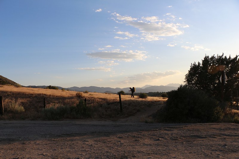
A lone PCT Thru-Hiker continues onward into the sunset
See my website for an EVEN LONGER (long-winded?) Trip Report.
For a map of the hike see my CalTopo Page.
Happy Hiking!