

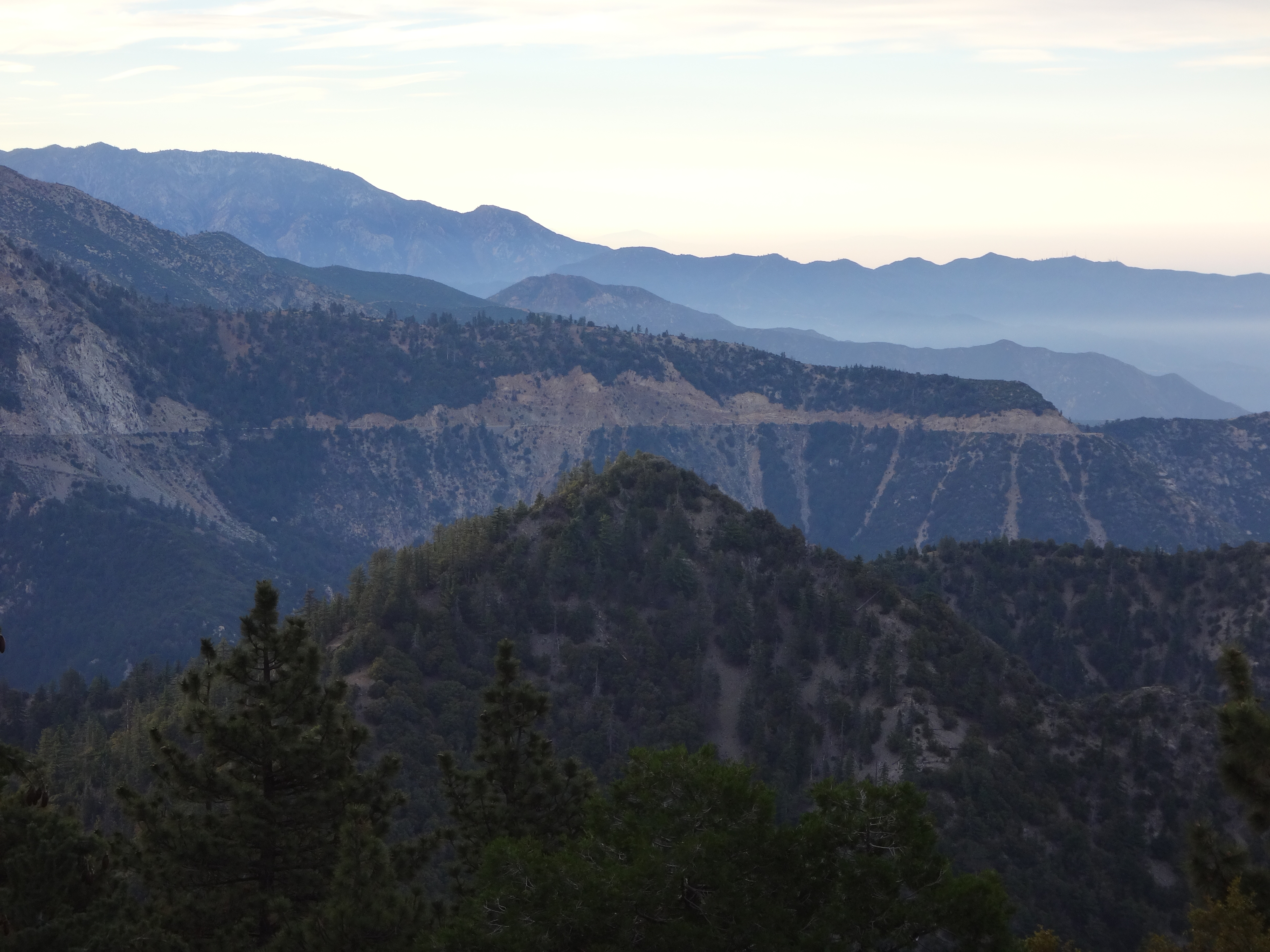
The summit watches over the Bear Creek watershed south of Kratka Ridge.
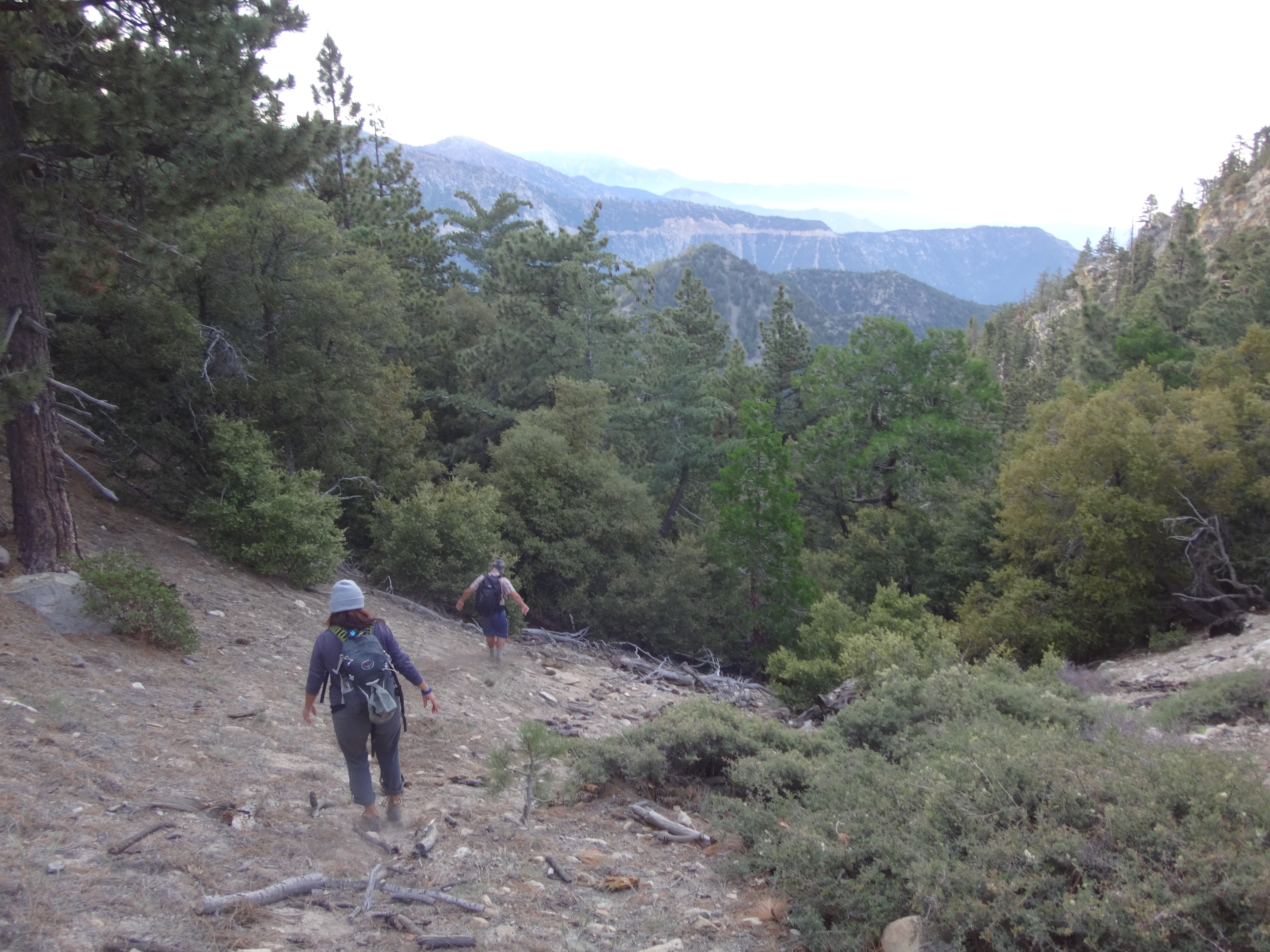
Last Friday we parked at a turnout across the highway from the exit for Buckhorn campground. This is also one of a couple starting points for the Kratka Ridge hike. From this turnout an old roadbed heads southeast toward a low saddle situated above the west fork of Bear Creek. The rutted roadbed contours a little below the saddle and continues to Buckhorn Spring. We left it before it turned westward, and we marched straight up to the saddle.
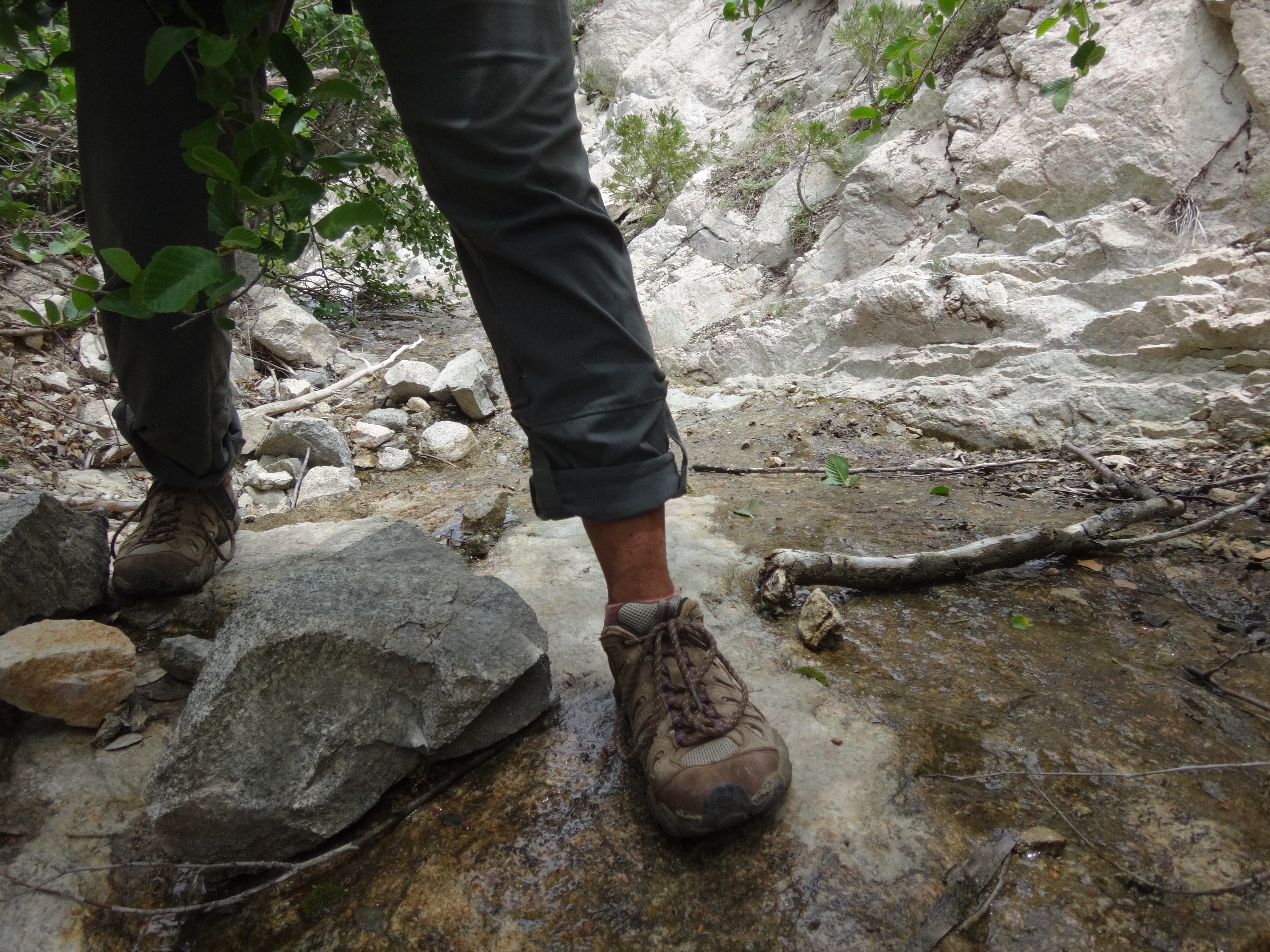
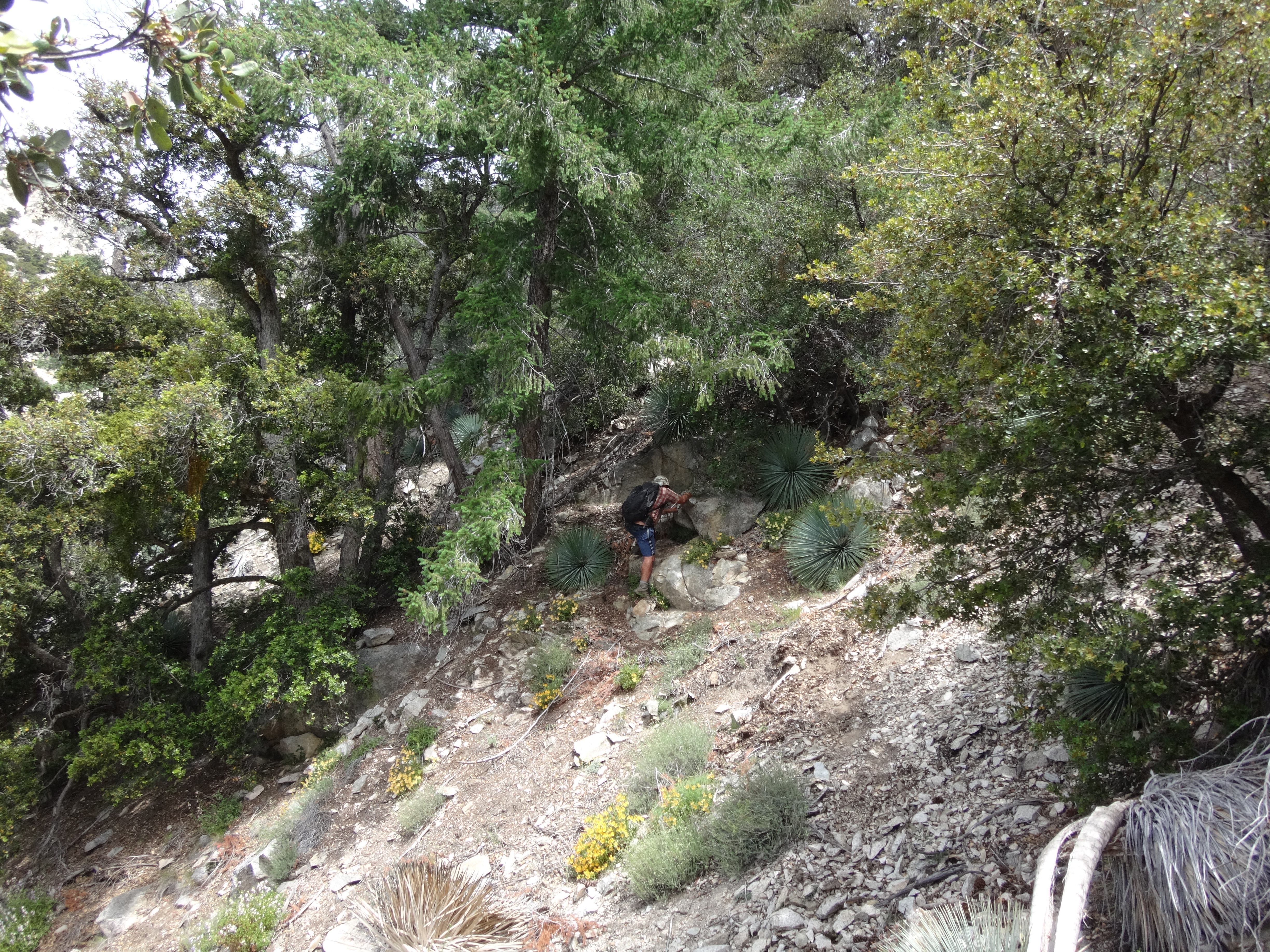
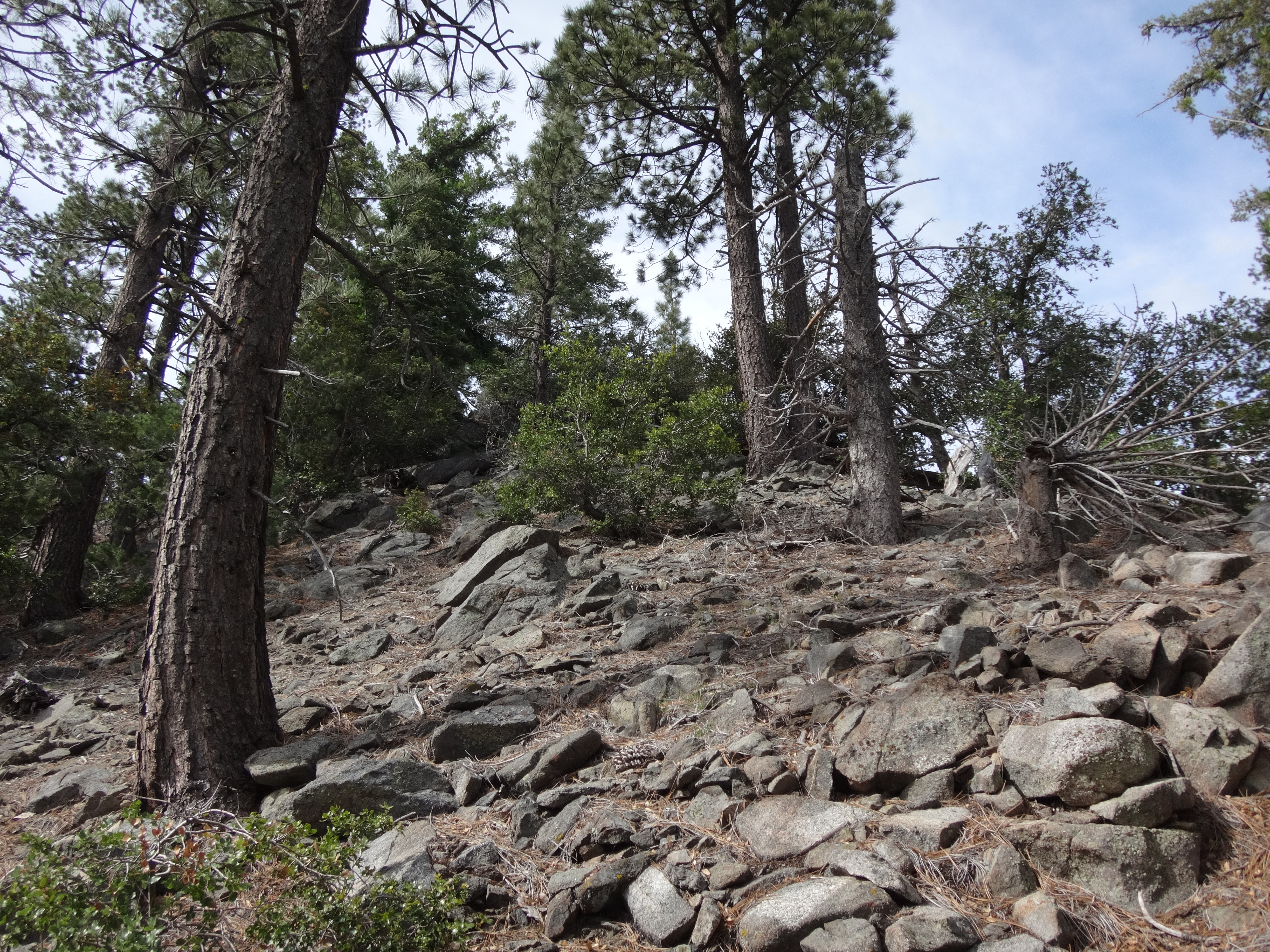
A faint use trail leads down the other side of the saddle, dropping swiftly through some initial trees and then into Bear Creek's west fork via a narrow, rocky canyon.
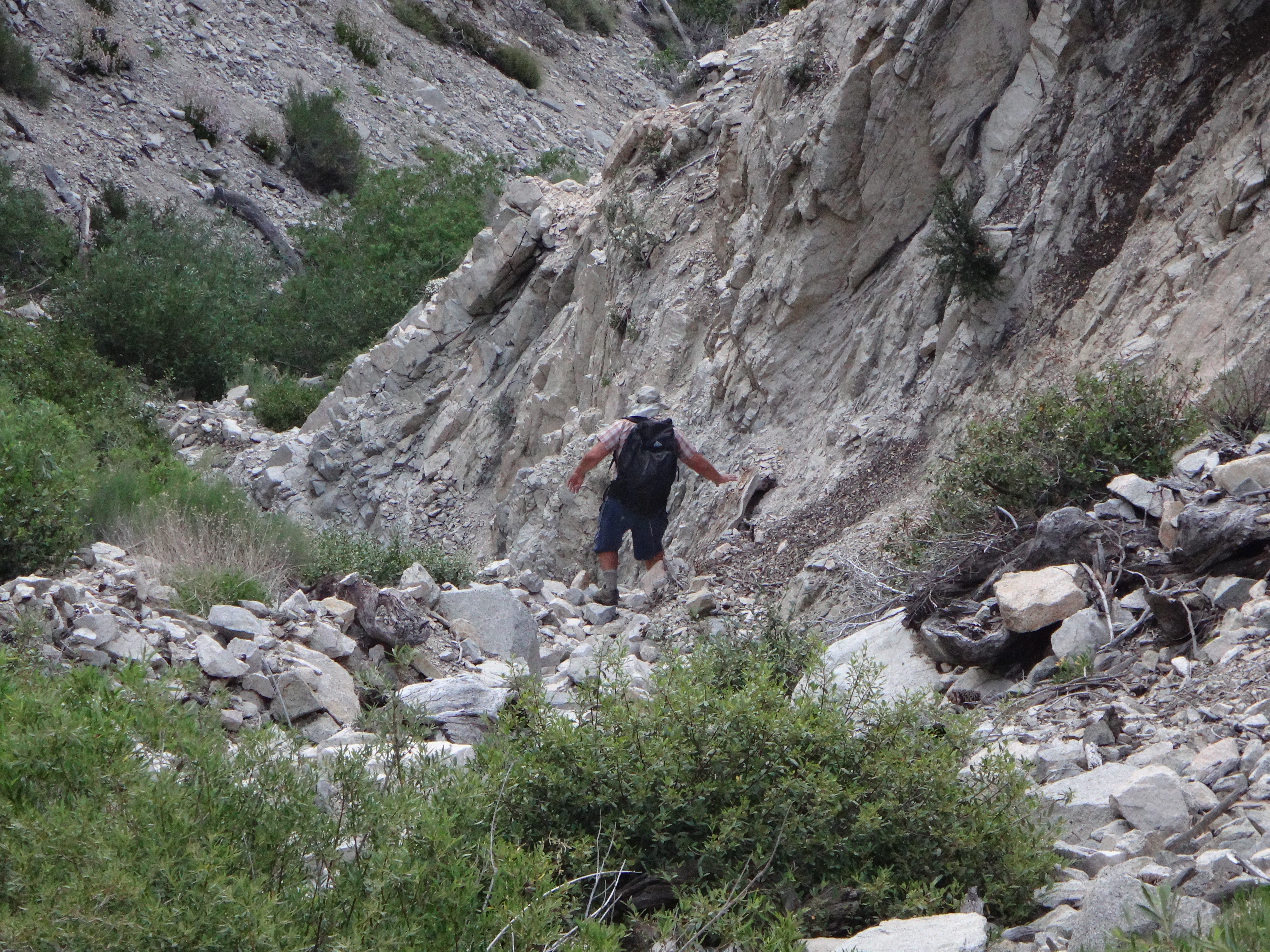
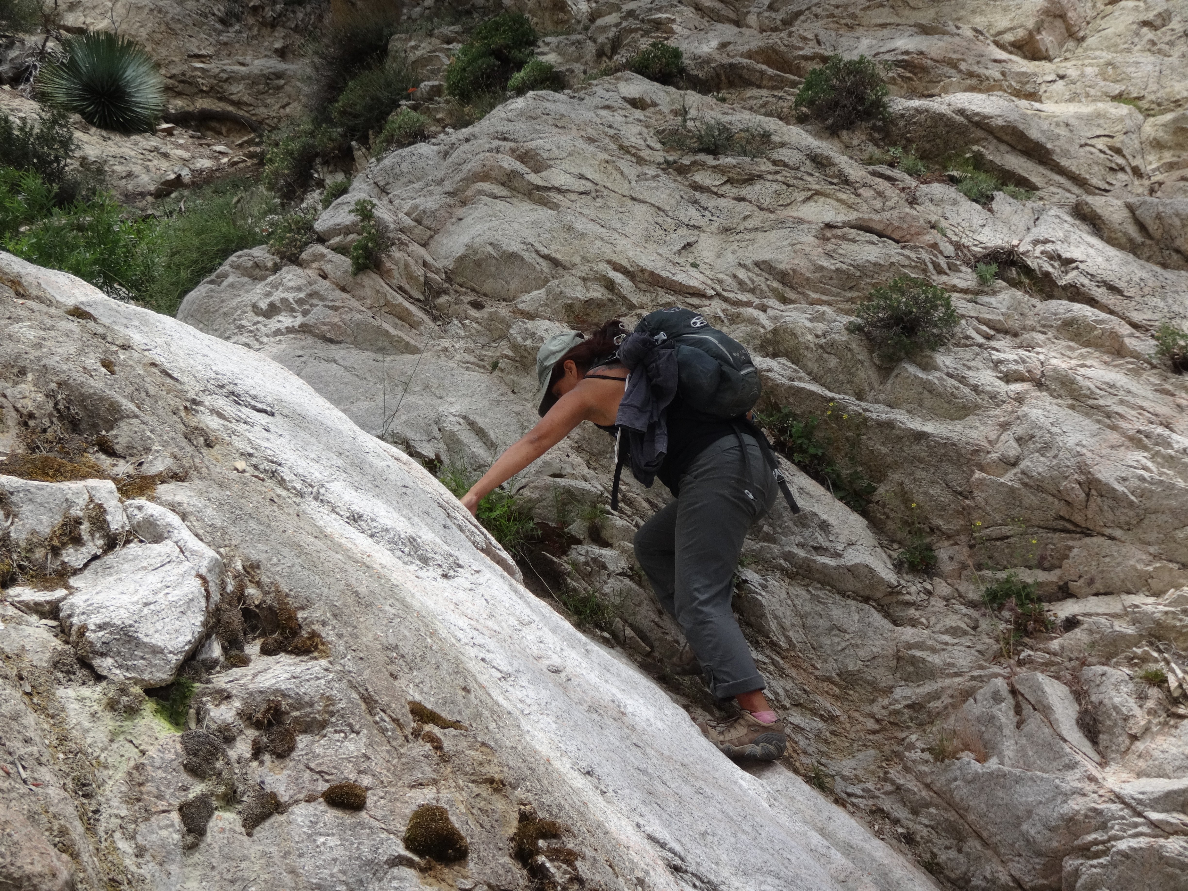
Most of the scrambling was tough class 2 to easy 3. Much of the descent took us over piles of small to medium rocks. A few places had water trickling over cascades where we had to carefully watch our footing in order to prevent a slip.
A 10-foot dryfall could be bypassed or climbed fairly easily.
We also made short work of a 20-footer.
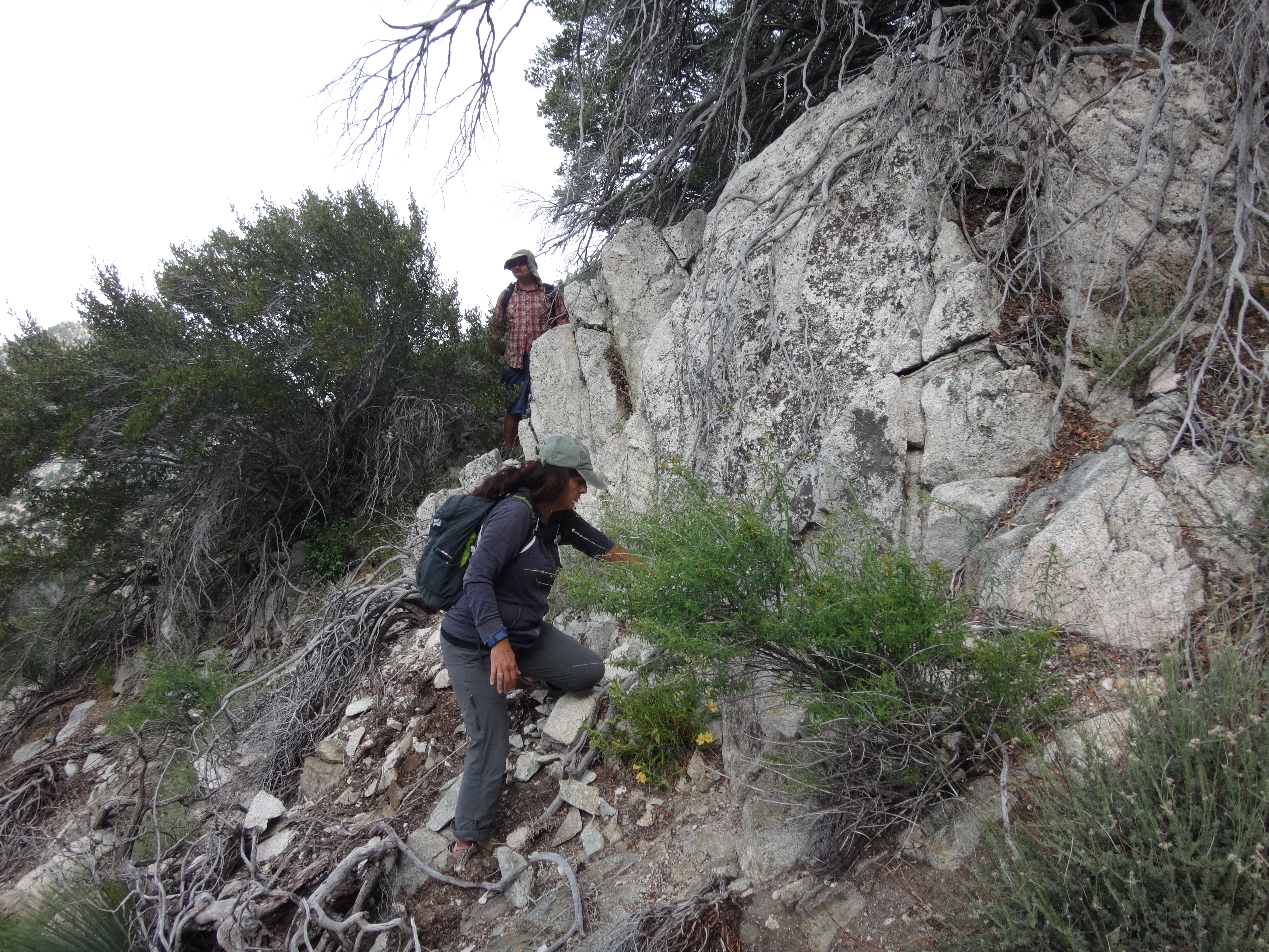
Then, after dropping about a thousand feet from the saddle, around 5800' elevation, we encountered a 30-foot waterfall which could not be dealt with directly, as the watercourse was too slick and narrow even to peer over the top safely. But to the left side there was a somewhat hairy, class 3 bypass.
Dave set up a rope but still did not feel comfortable. So we looked for an easier bypass by climbing up and around the east ridge and dropping carefully into the adjacent gully.
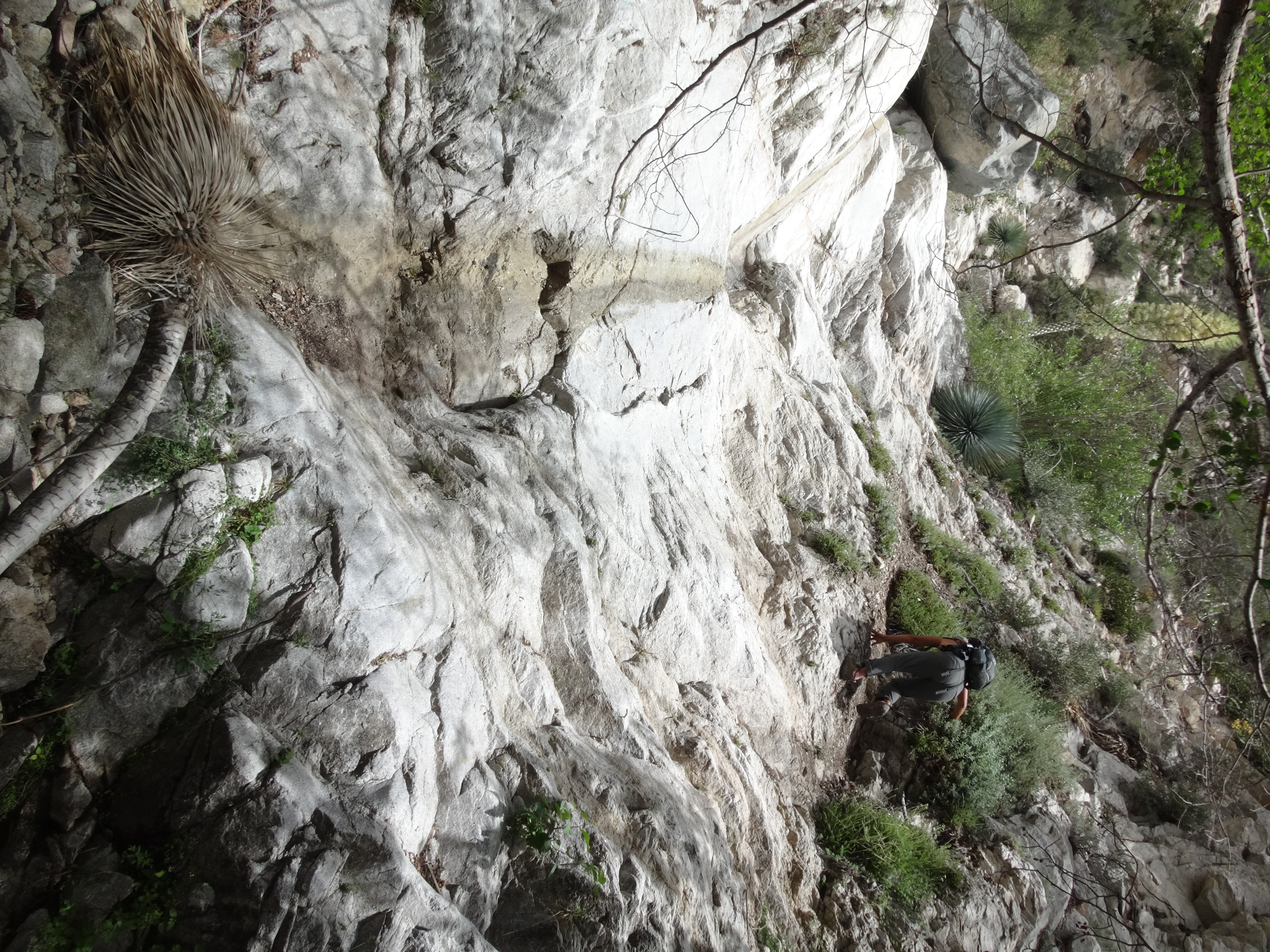
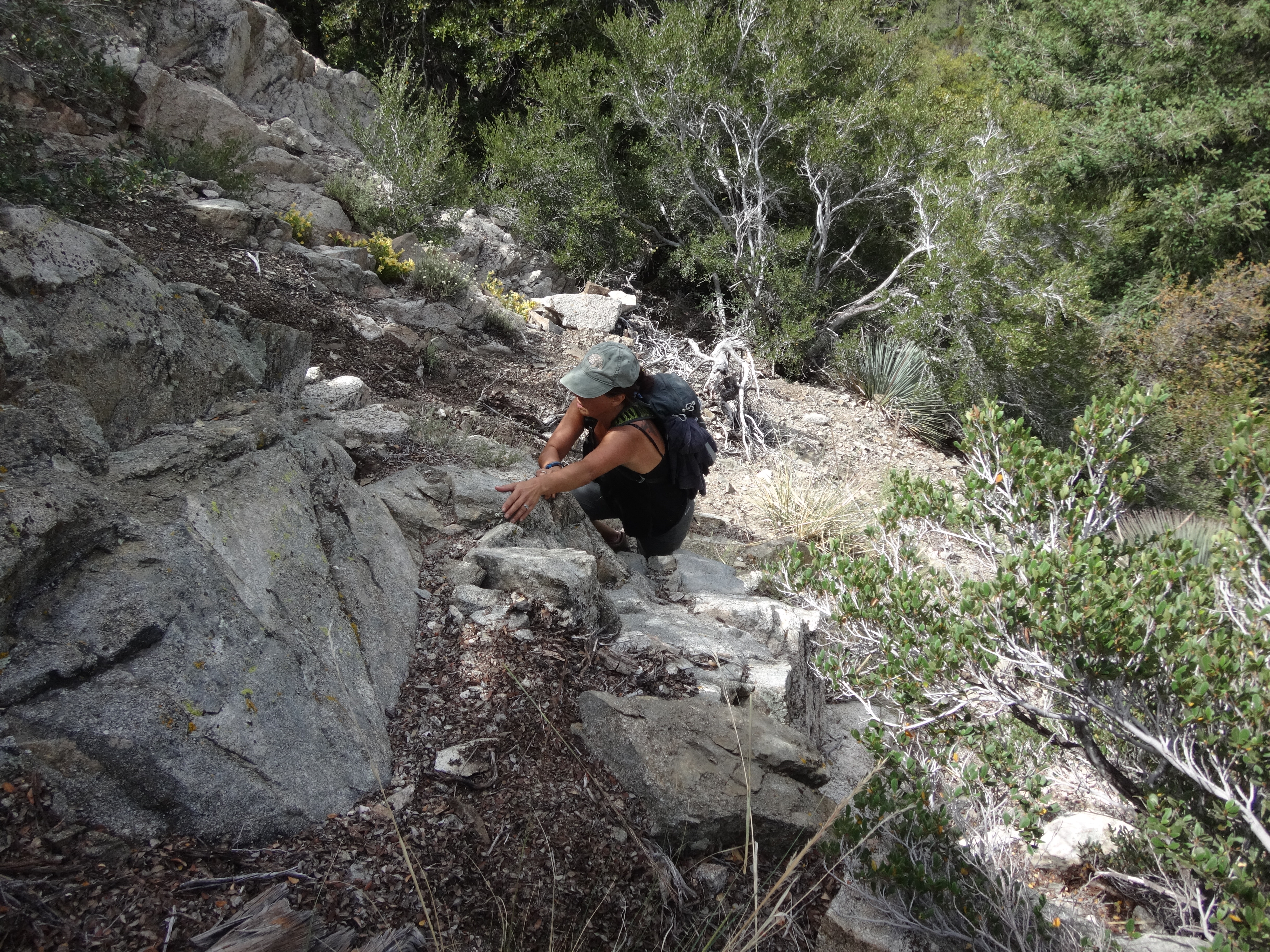
Unfortunately the next gully was also blocked by a fairly substantial dryfall. At this point getting back into the main canyon seemed like an increasingly undesirable option for a couple different reasons. First, we were getting further away from the main canyon and closer to our target ridge/saddle by contouring. And second, the main canyon approach would have sent us about four or five hundred feet below the target ridge before we could then turn up a side gully. So we decided to continue contouring over to the target saddle just north of Peak 6320+.
The side-hilling and route-finding through rocks and brush offered some challenges. Basically we tried to maintain our elevation as best as we could, while having to scramble up and down a bit to avoid the most difficult sections.
Eventually we all made it to the saddle in one piece and took a break to drink some water and remove rocks from our shoes.

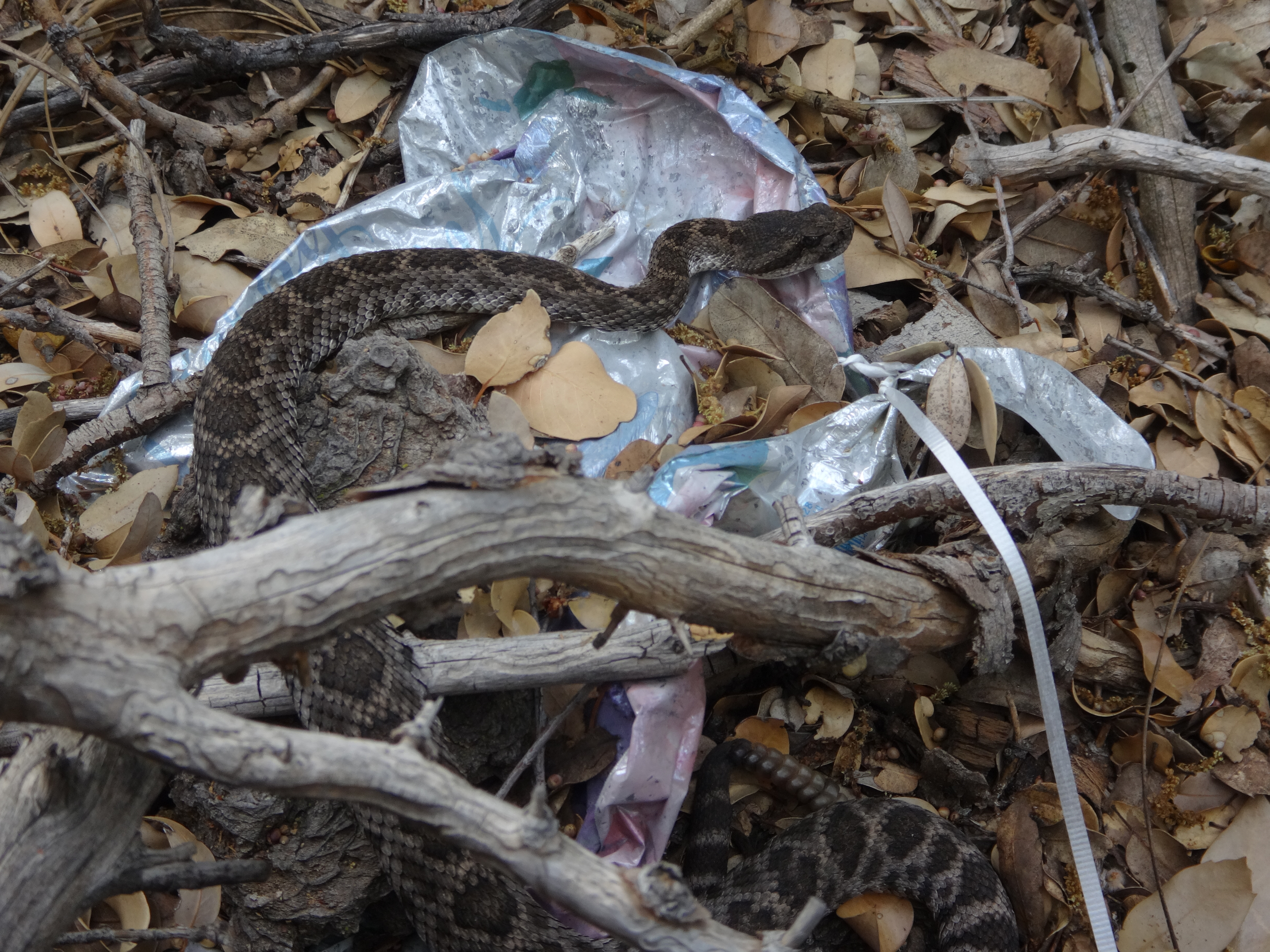
From the saddle it was simply a matter of climbing up the steep ridge for about six hundred feet of gain to the summit. The most dangerous thing in this stretch proved to be the rattlesnake Dave found. But even it wasn't too problematic, as it appeared to be in a state of deep meditation, uninterested in its earthly surroundings.
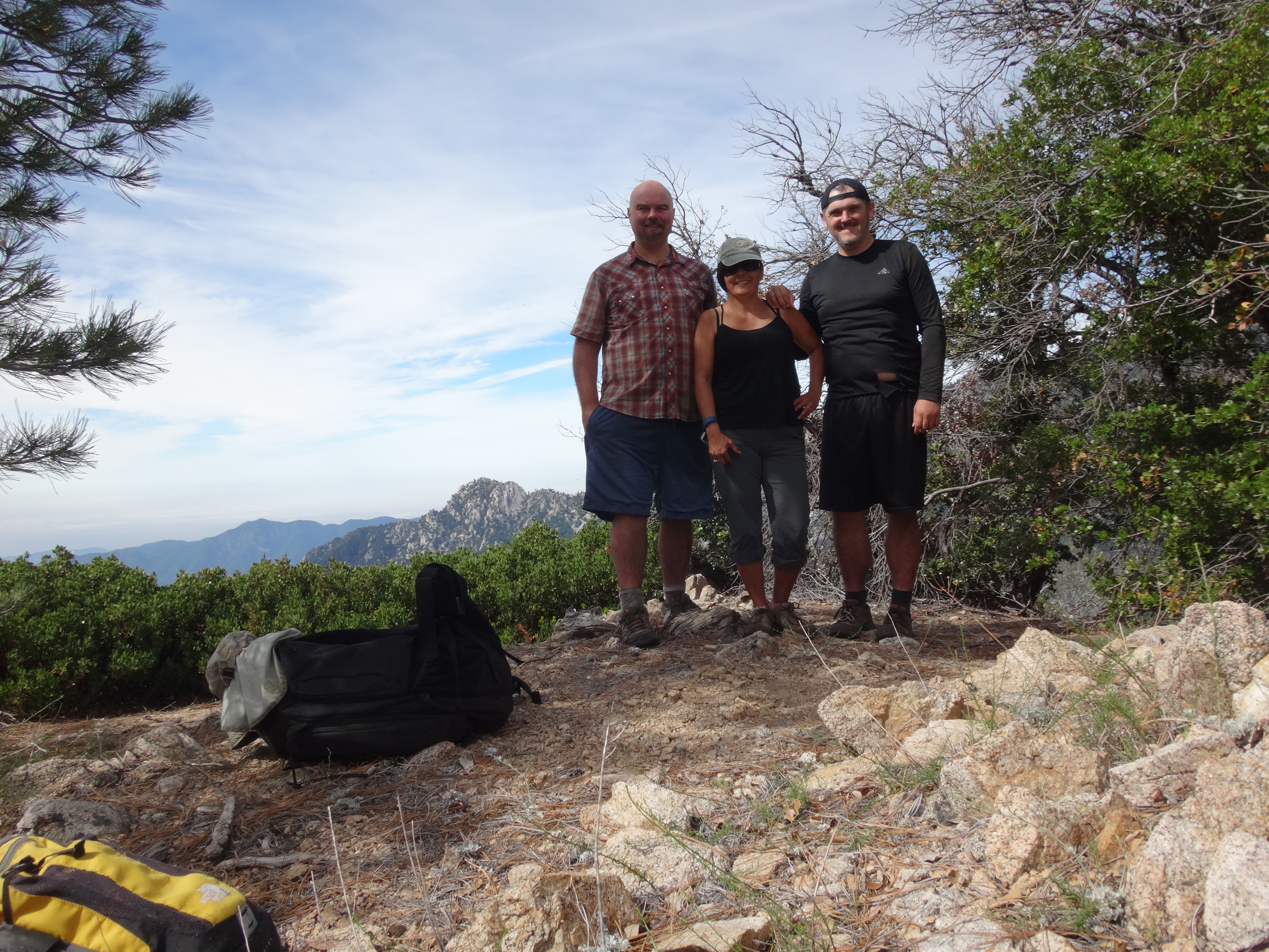
At the summit Dave left a little register. We agreed that Bear Creek Peak sounded like a suitable name. But admittedly we didn't spend a whole bunch of time on it. We instead concentrated on the amazing views of the broad watershed and Triplet Rocks.
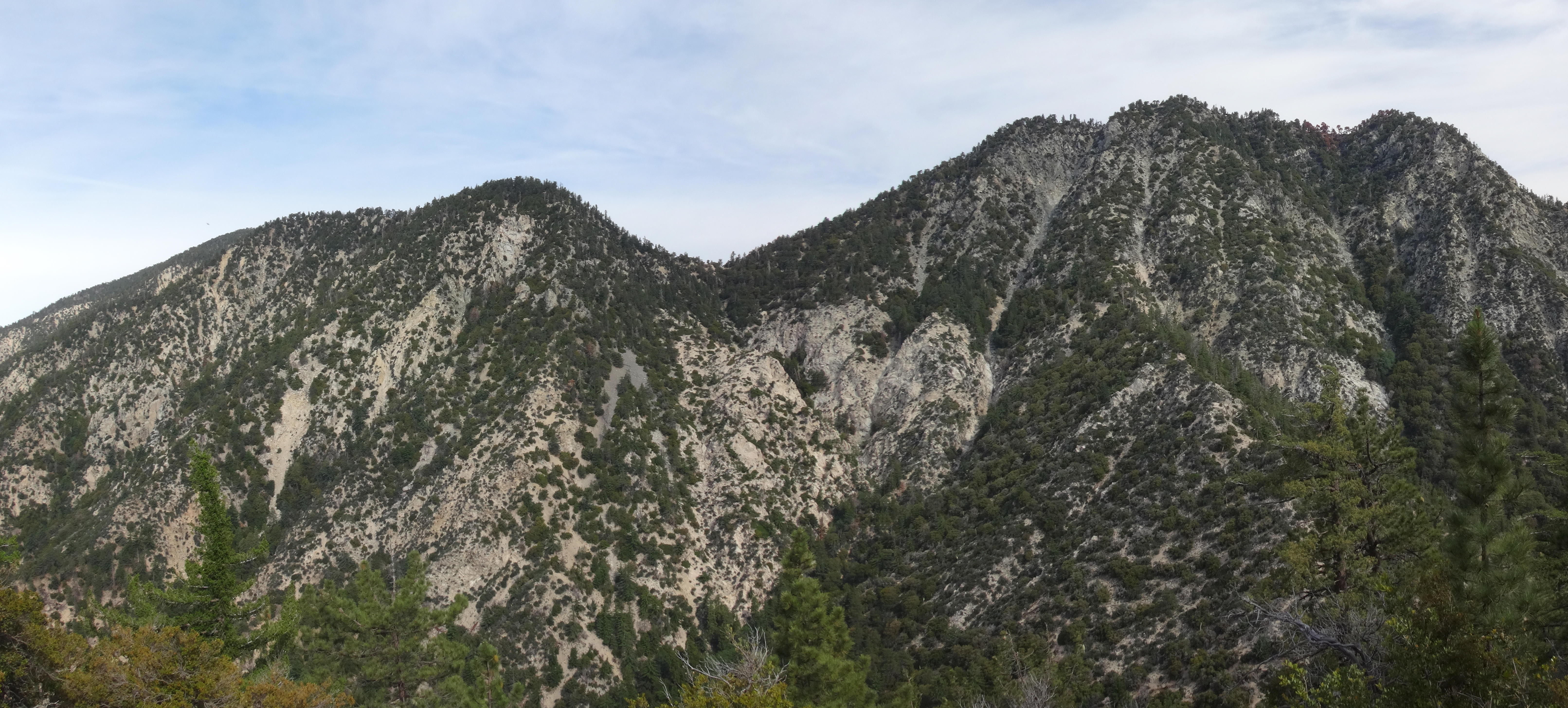
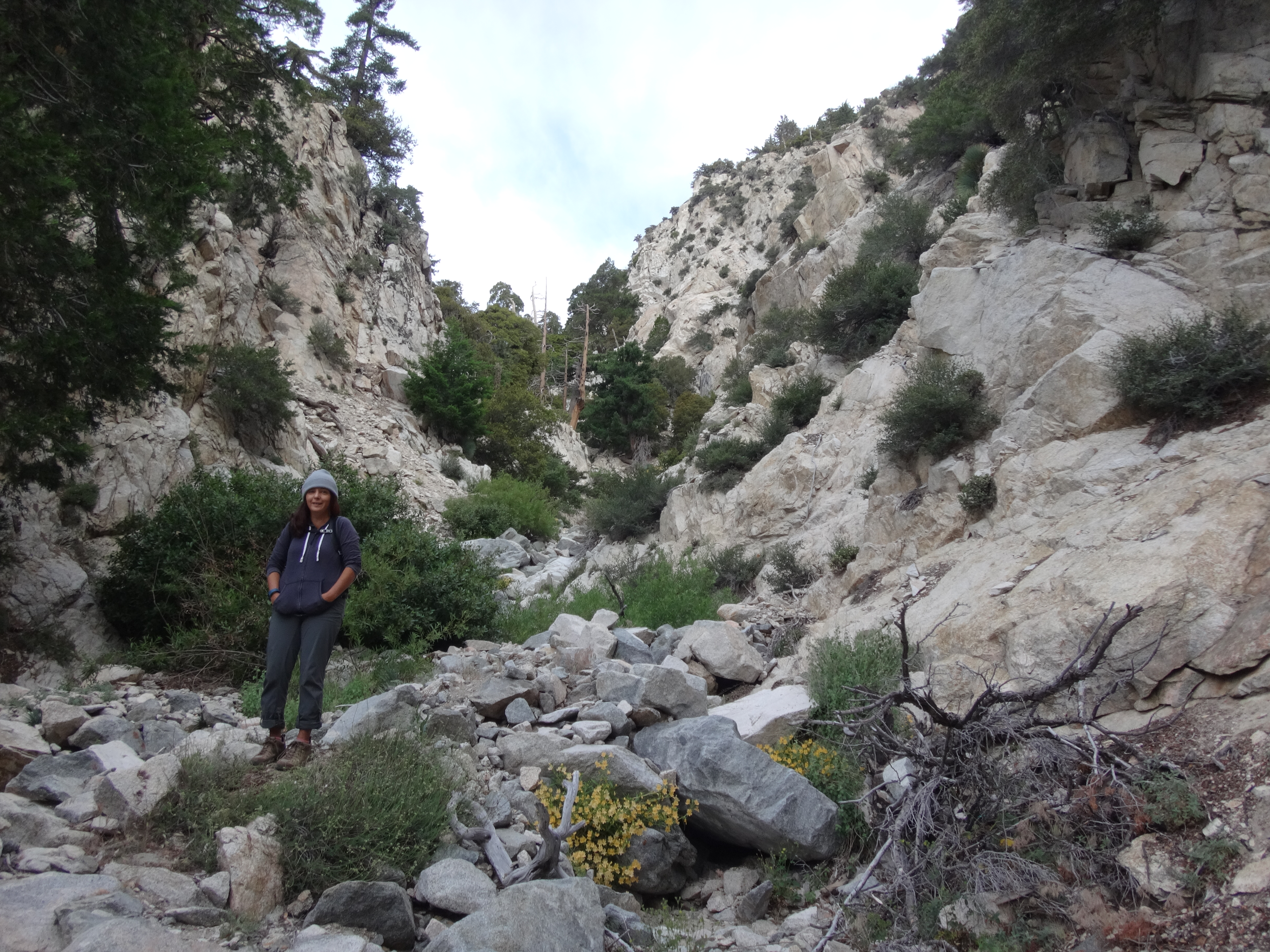
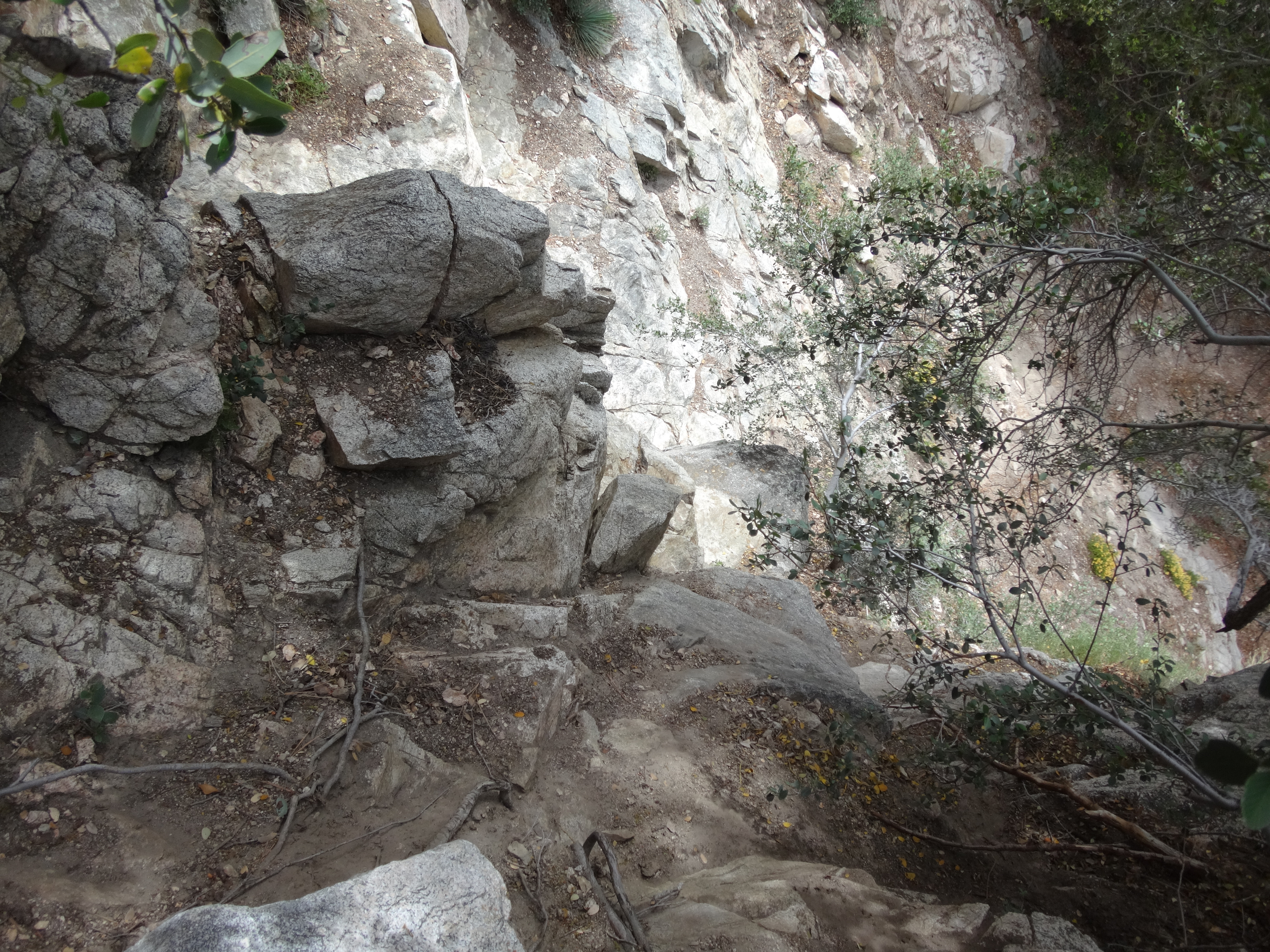
(Looking back at the saddle where we dropped into the canyon)
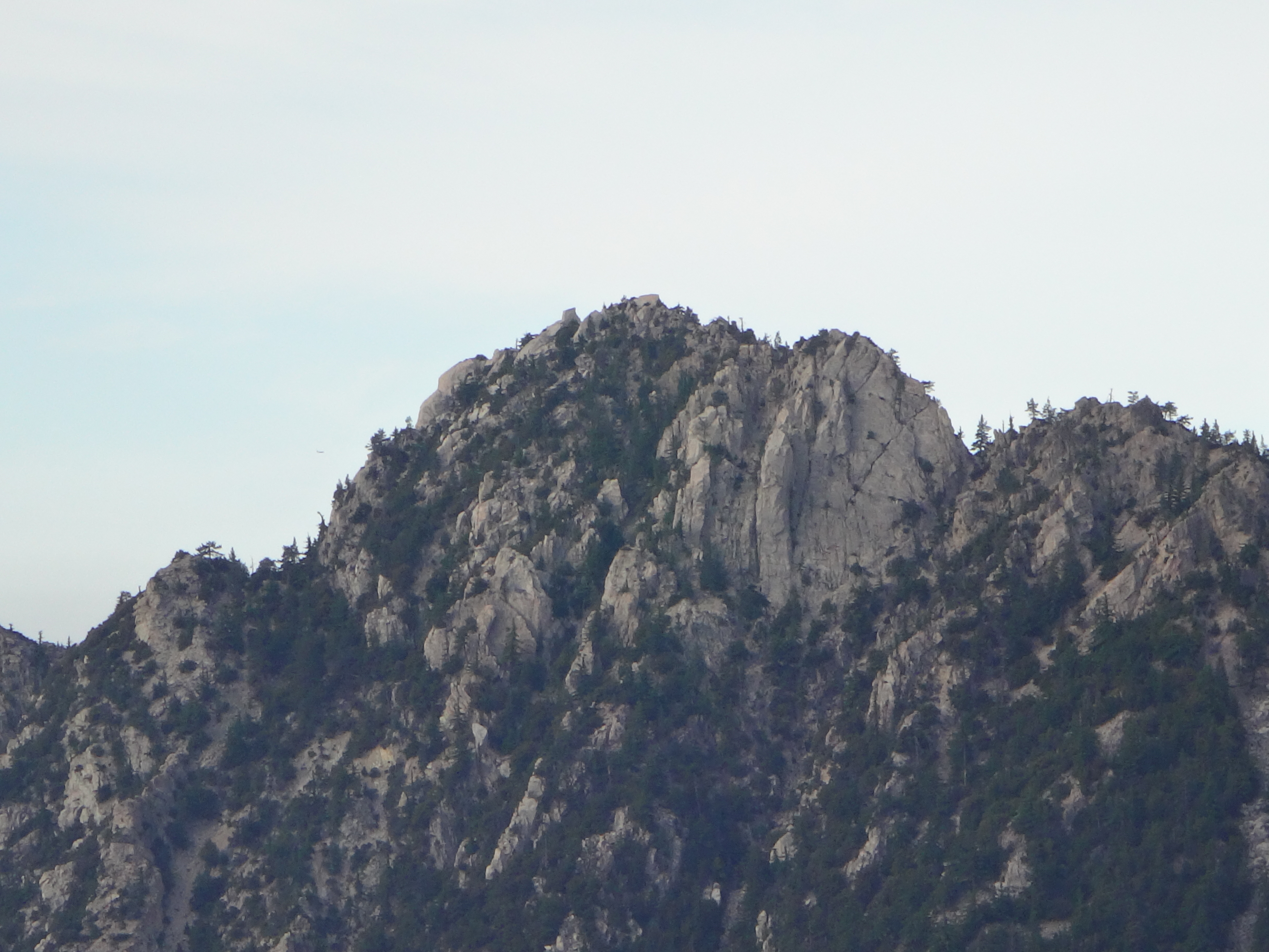
(The north face of Triplet Rocks.)


