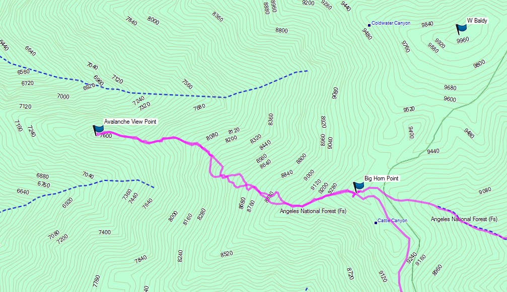
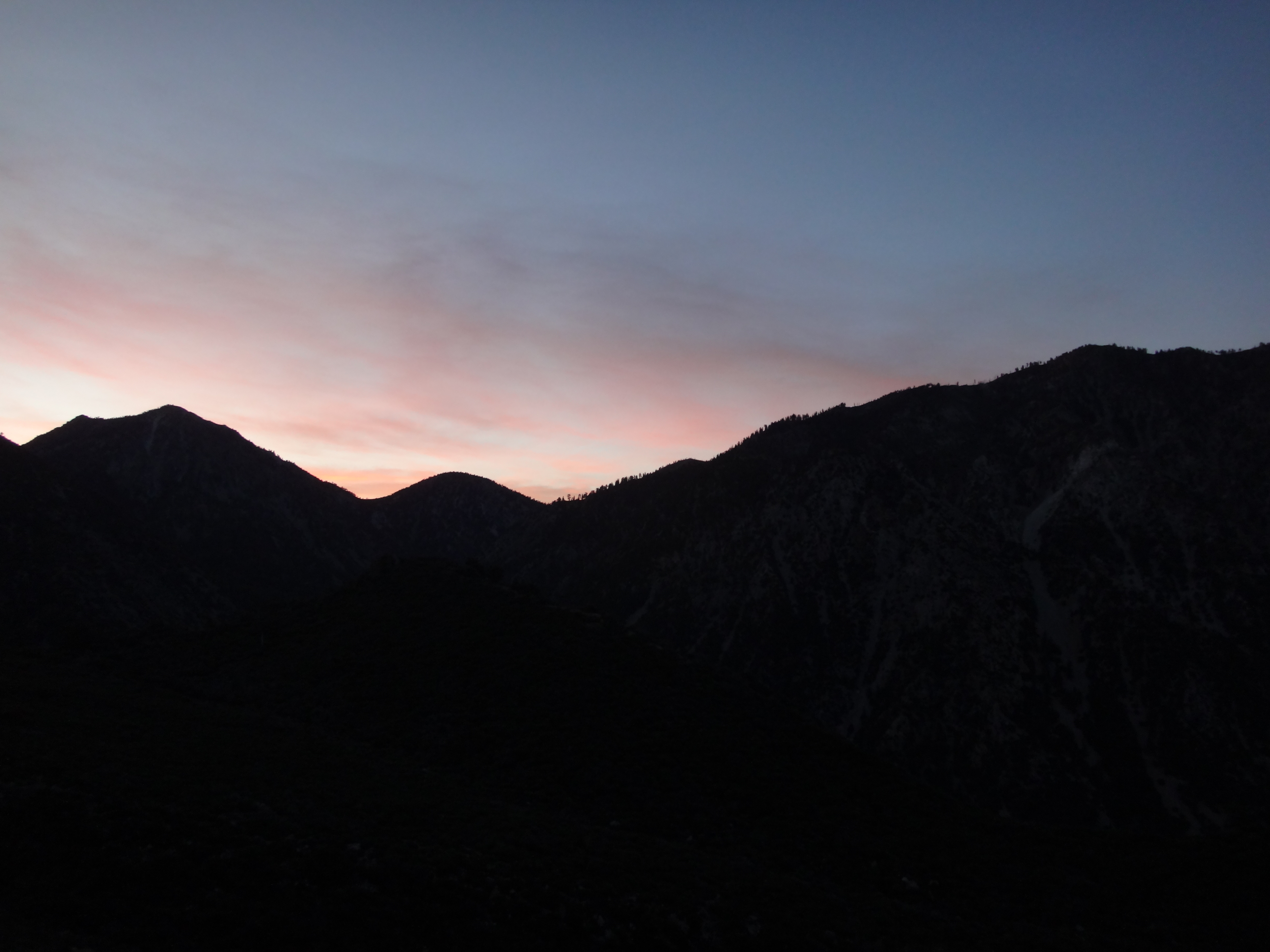
Henry and I started up the Baldy Trail from the Village around 4am yesterday in shorts and t-shirts. It was a pleasant morning with only a slightly chilling breeze. We of course had the trail all to ourselves. By headlamp we meandered up the dark trail, passing Bear Flat, then working our way up the steep switchbacks and ridge until the sun finally showed its light over the Three Tee's Ridge.
We climbed at a steady but very casual pace, making it to the Cattle Canyon viewpoint around 7:30am.
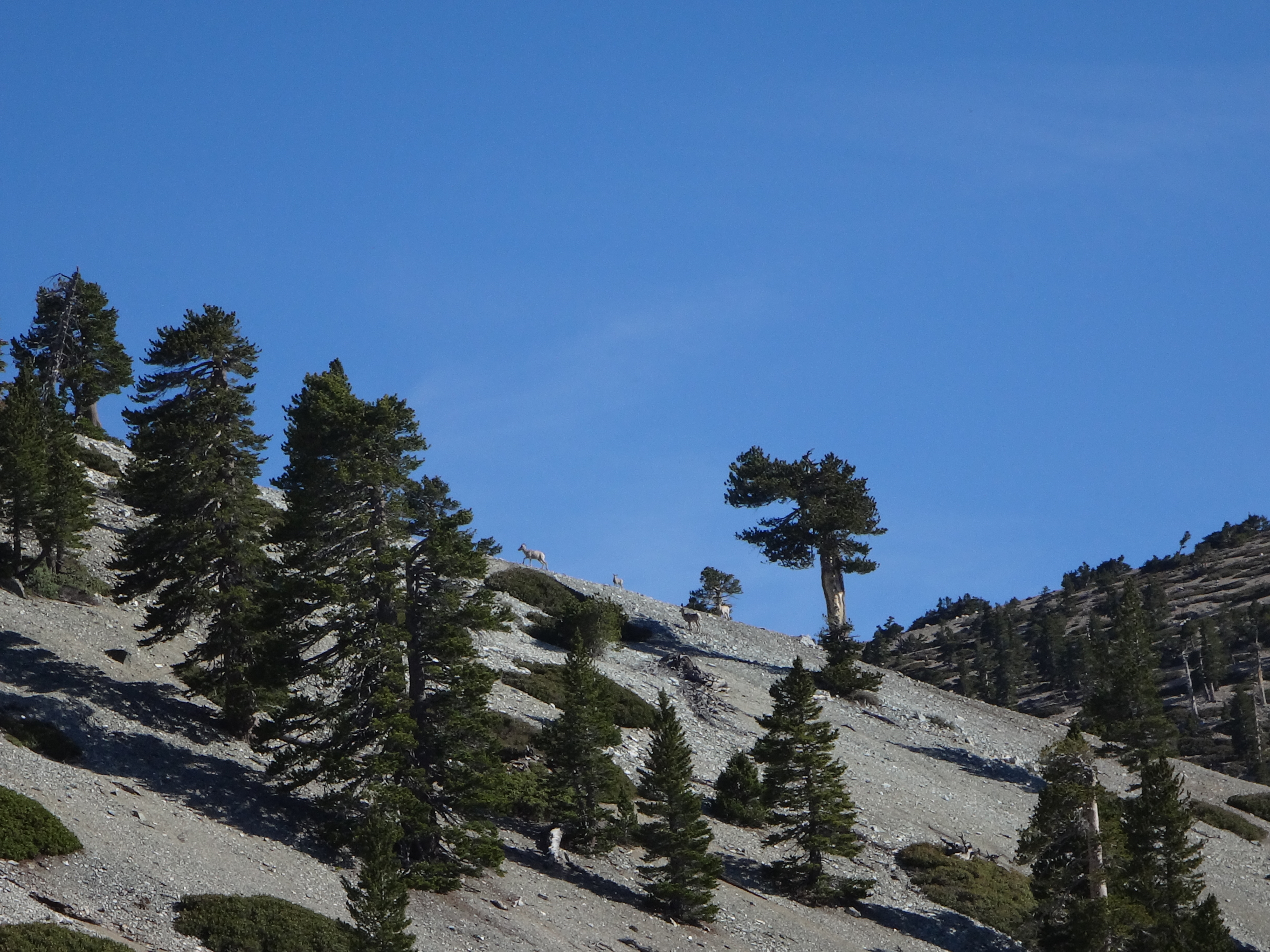
Shortly thereafter we spotted a group of sheep in the distance, grazing along the ridge. Unfortunately, they disappeared upon our approach.
Around 8:30am we had stashed water at Big Horn Point and were heading down Big Horn Ridge for a few hundred feet.
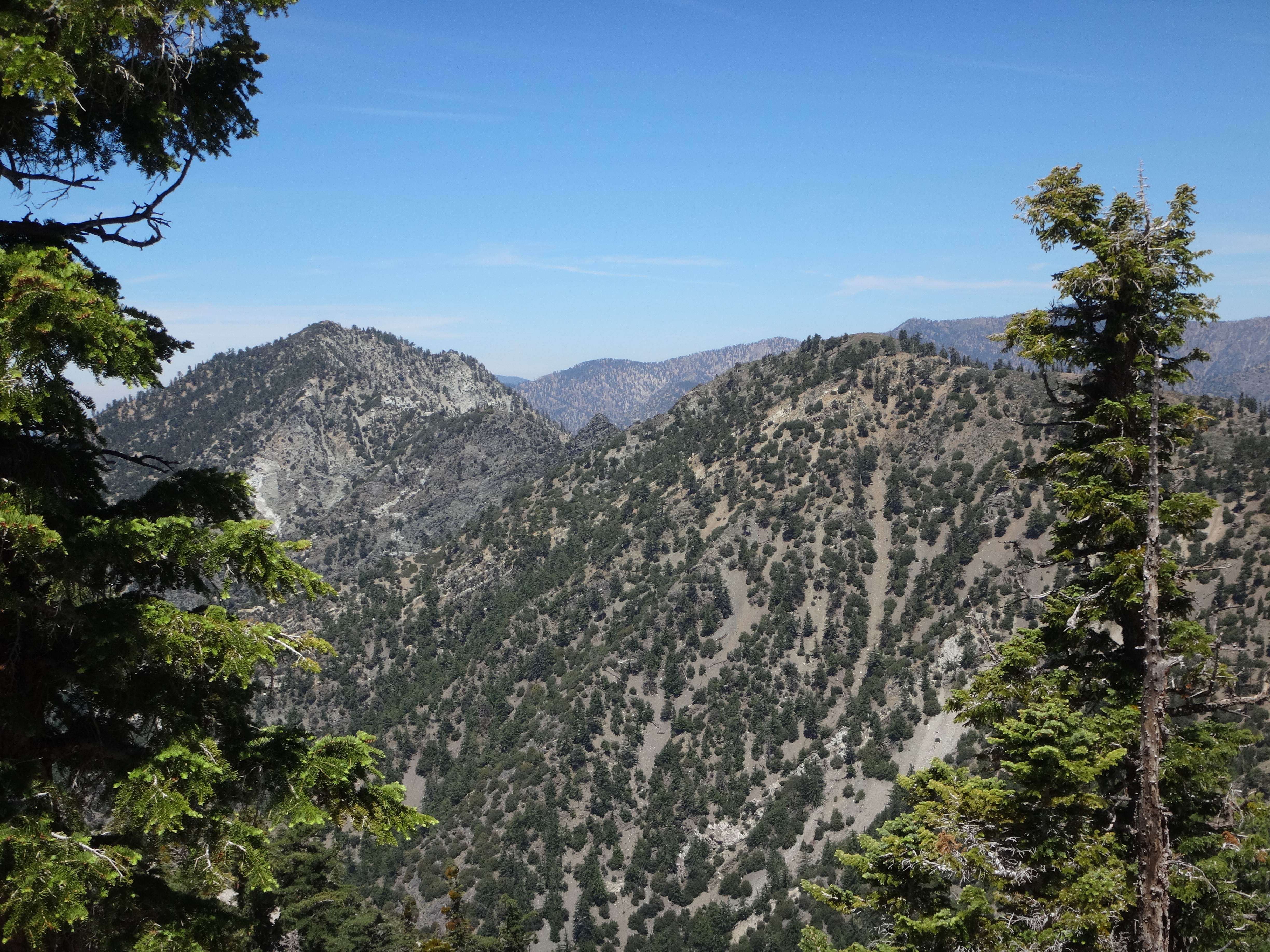
At about 9080' elevation on Big Horn Ridge, we turned slight right, now descending sharply toward the slowly forming spur ridge that eventually leads to Peak 7625.
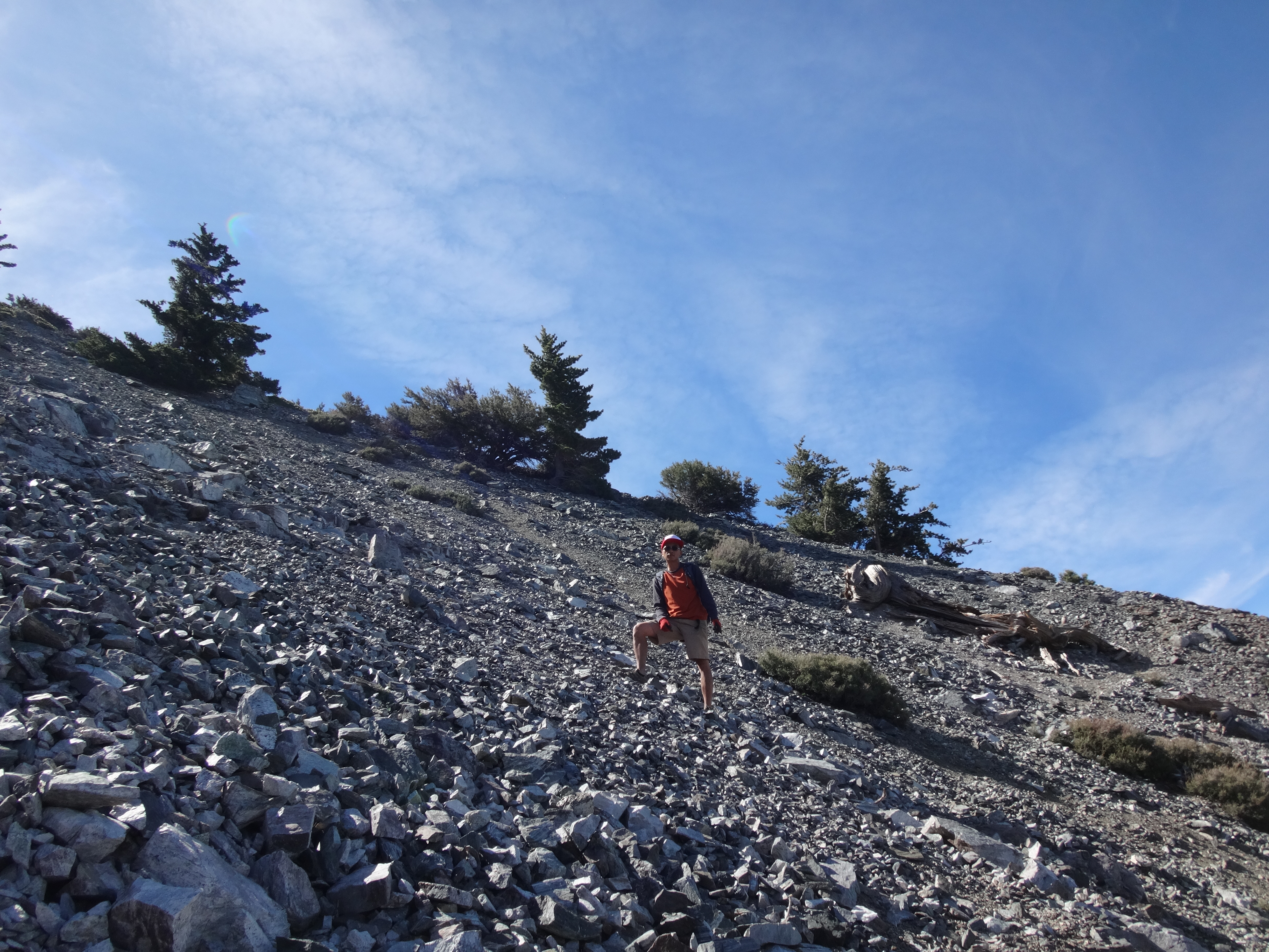
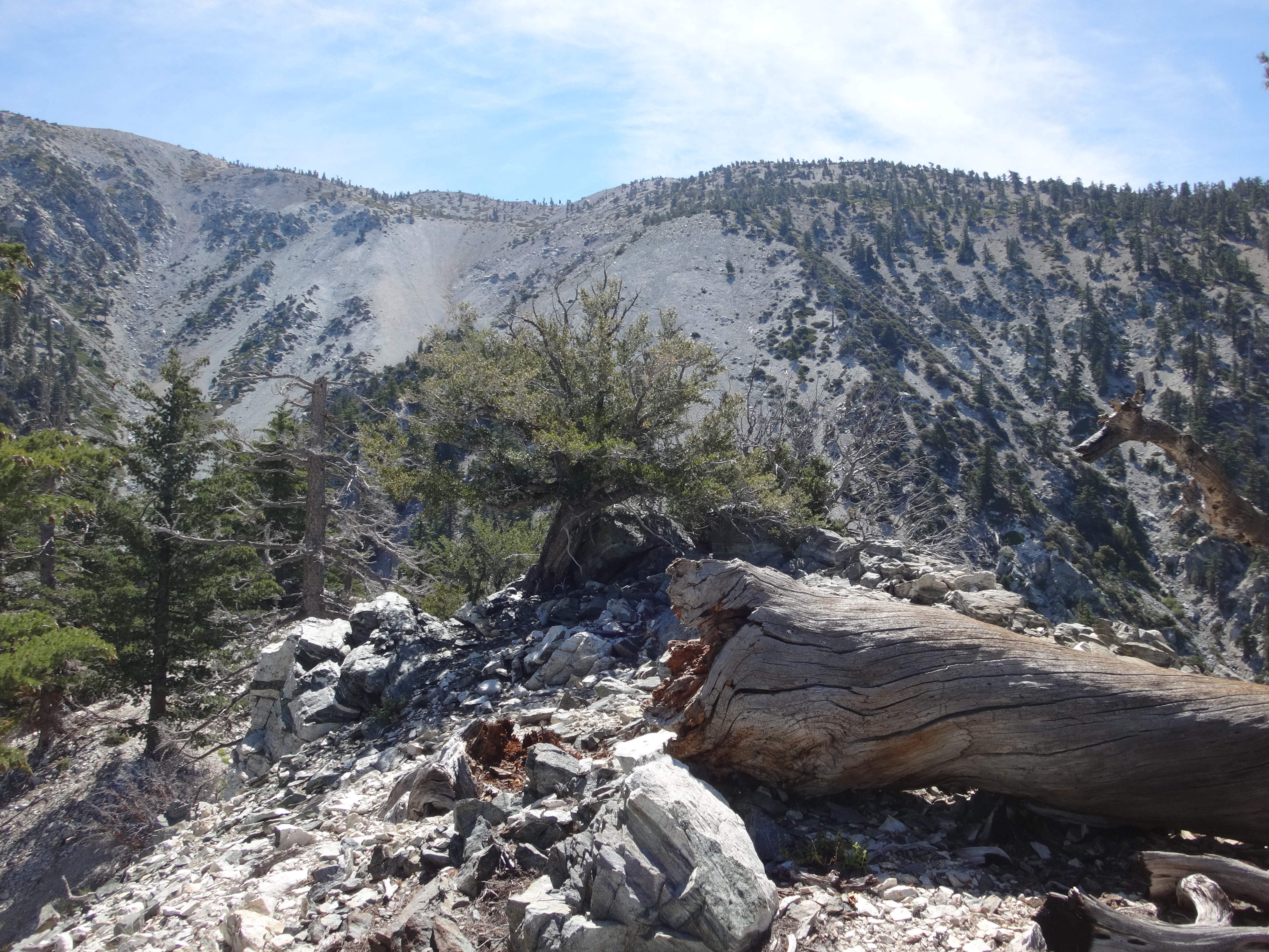
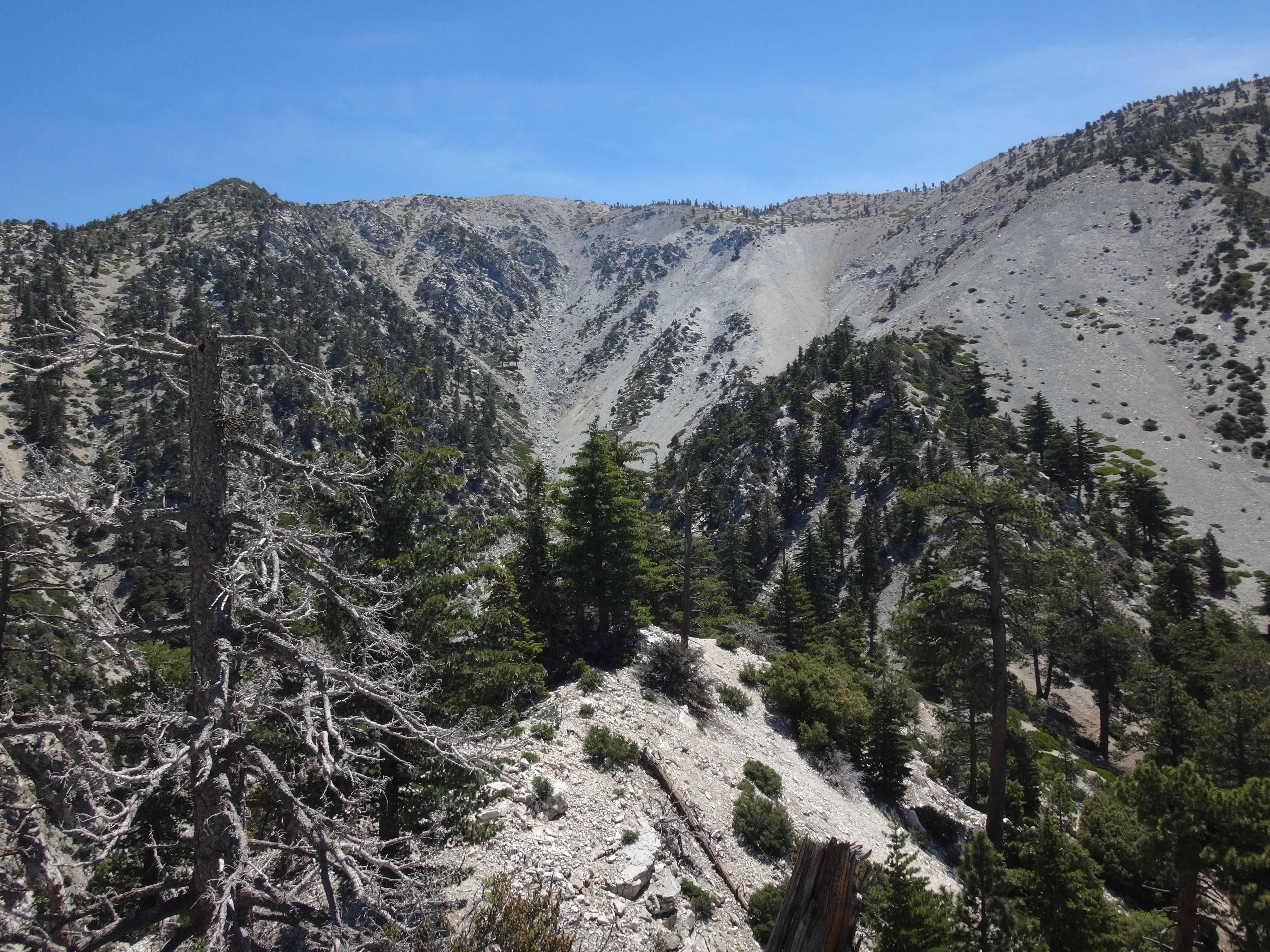
From Big Horn Point to Peak 7625 it's only a mile walking distance, but the elevation change is about 1850' with grades between 35 and 40%. The most difficult part is negotiating the middle section, which is a wide 500-foot high scree slope. We tried to make use of an animal track through this avalanche zone. It started down the left side, then cut across the scree to the right side. Still this area requires a lot of care in footwork and balance.
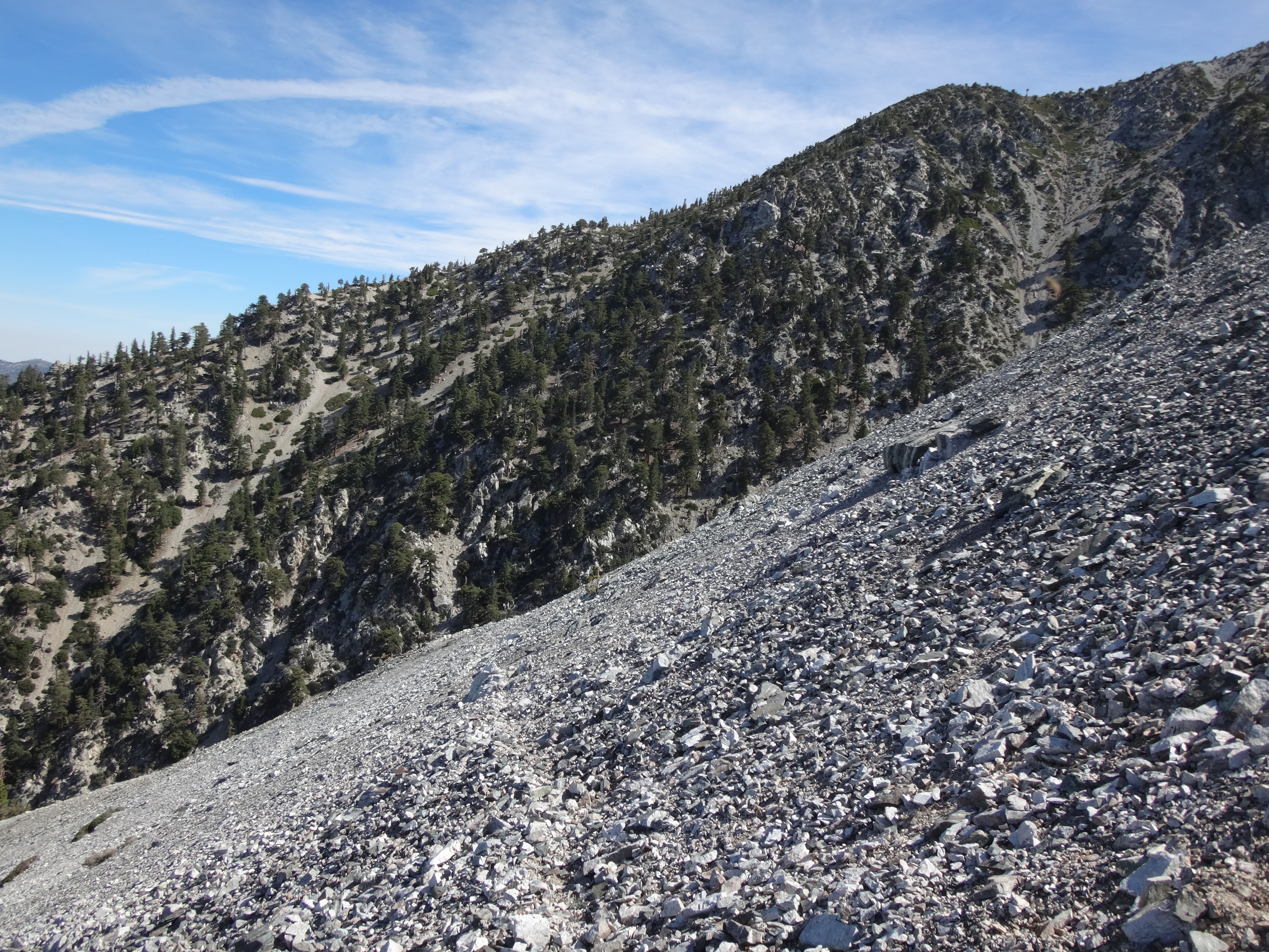
After the scree slope, the ridge banks to the left and becomes a neat scramble through some class 2 rocks and trees.
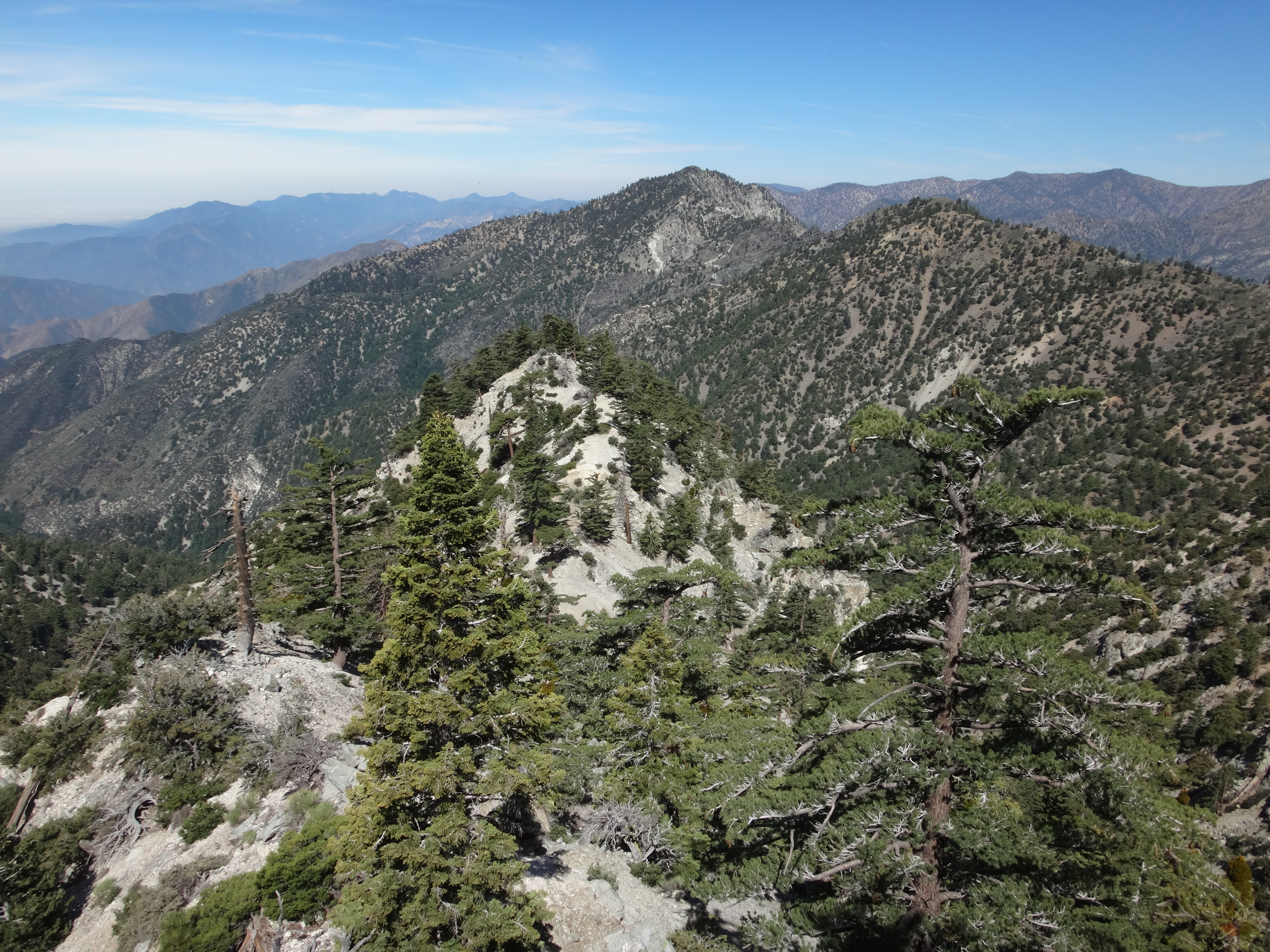
First there was a saddle at 7520'. Then a false bump before we stepped onto the actual point around 10am.
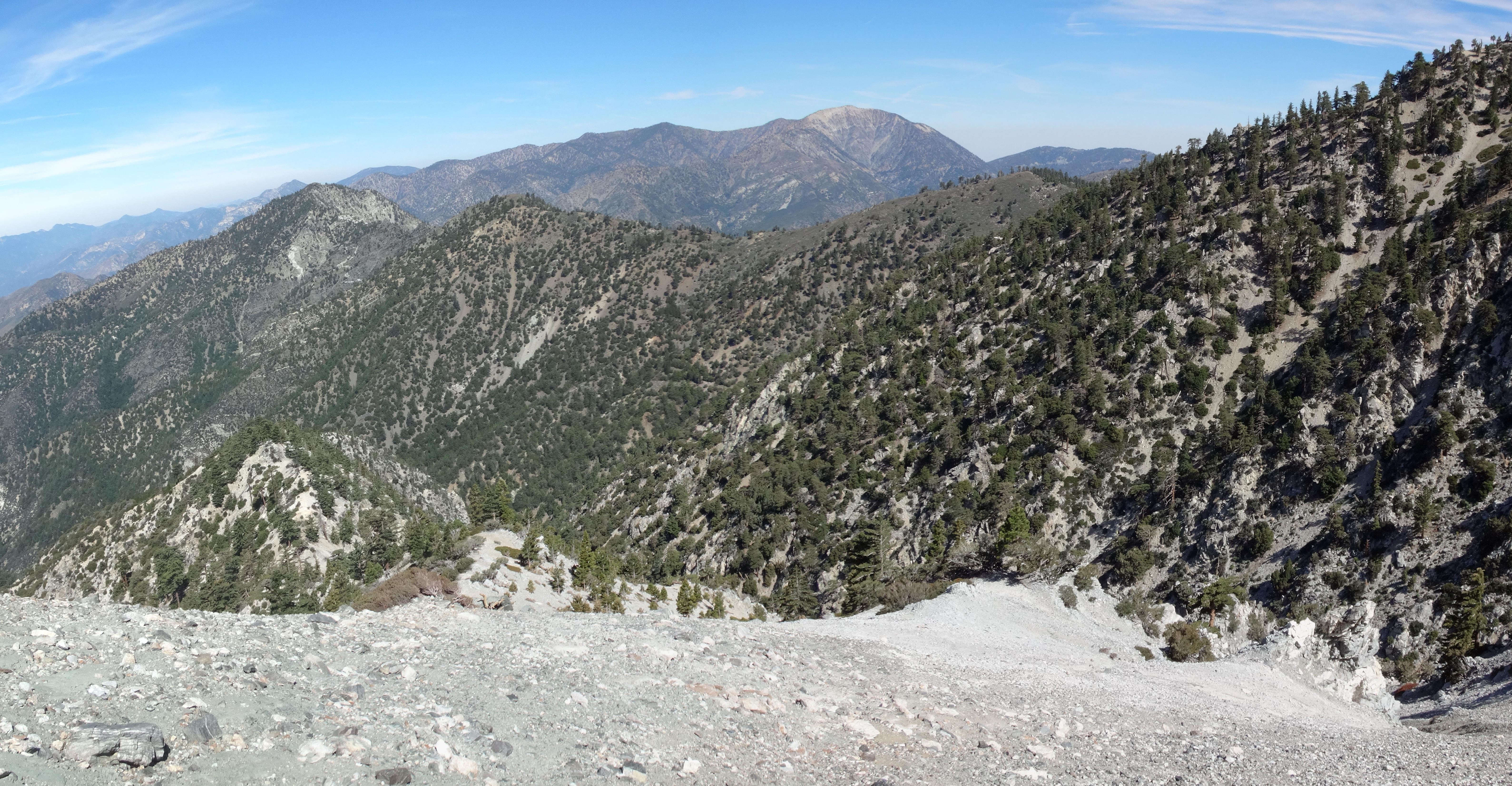
Since this peaklet has a very fine view of the avalanche zone above Coldwater Canyon, I propose naming it Avalanche View.
And if anyone visits this place during winter, I hope they sign the register and post some pictures of the snow up on those slopes.
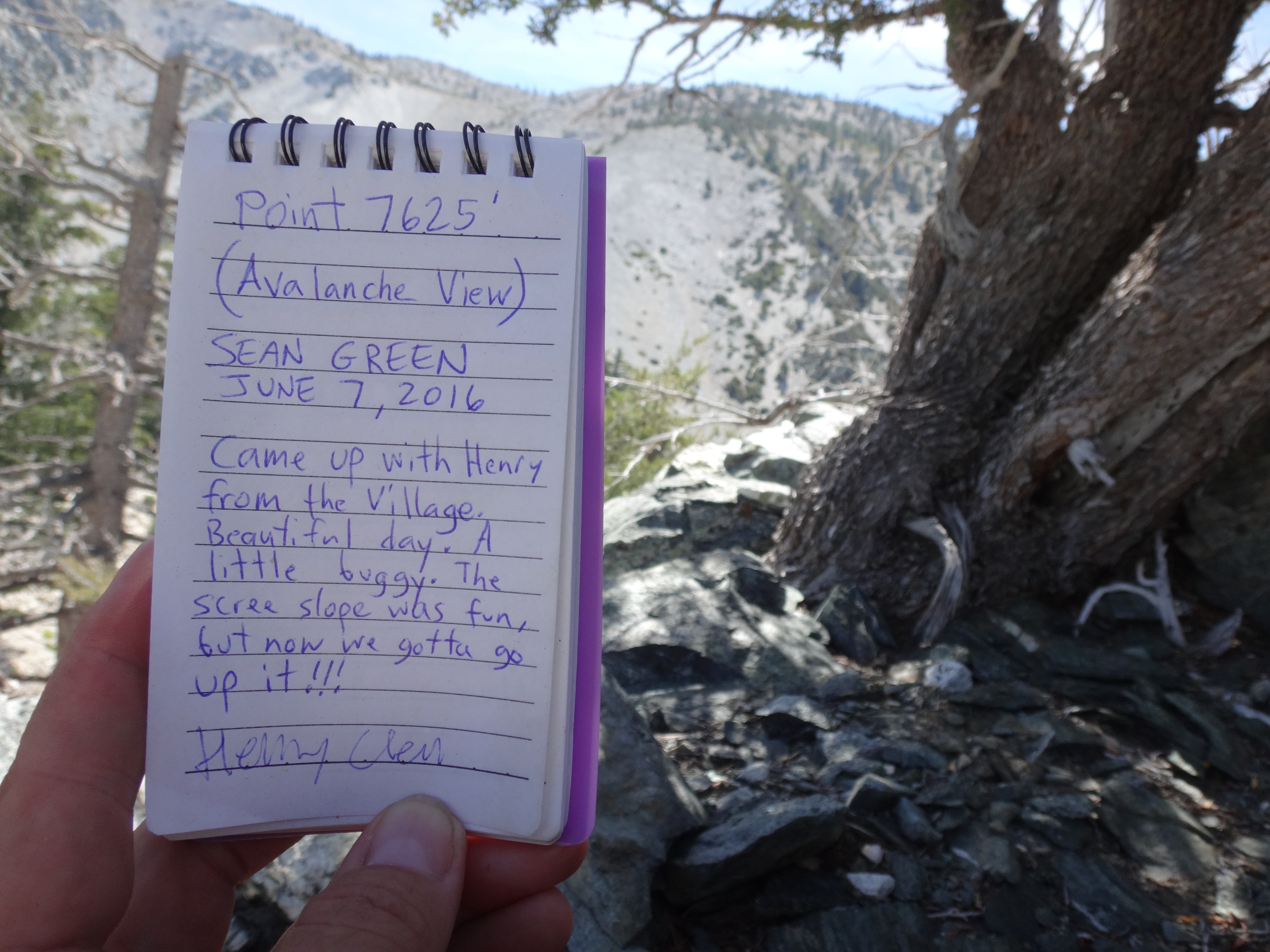
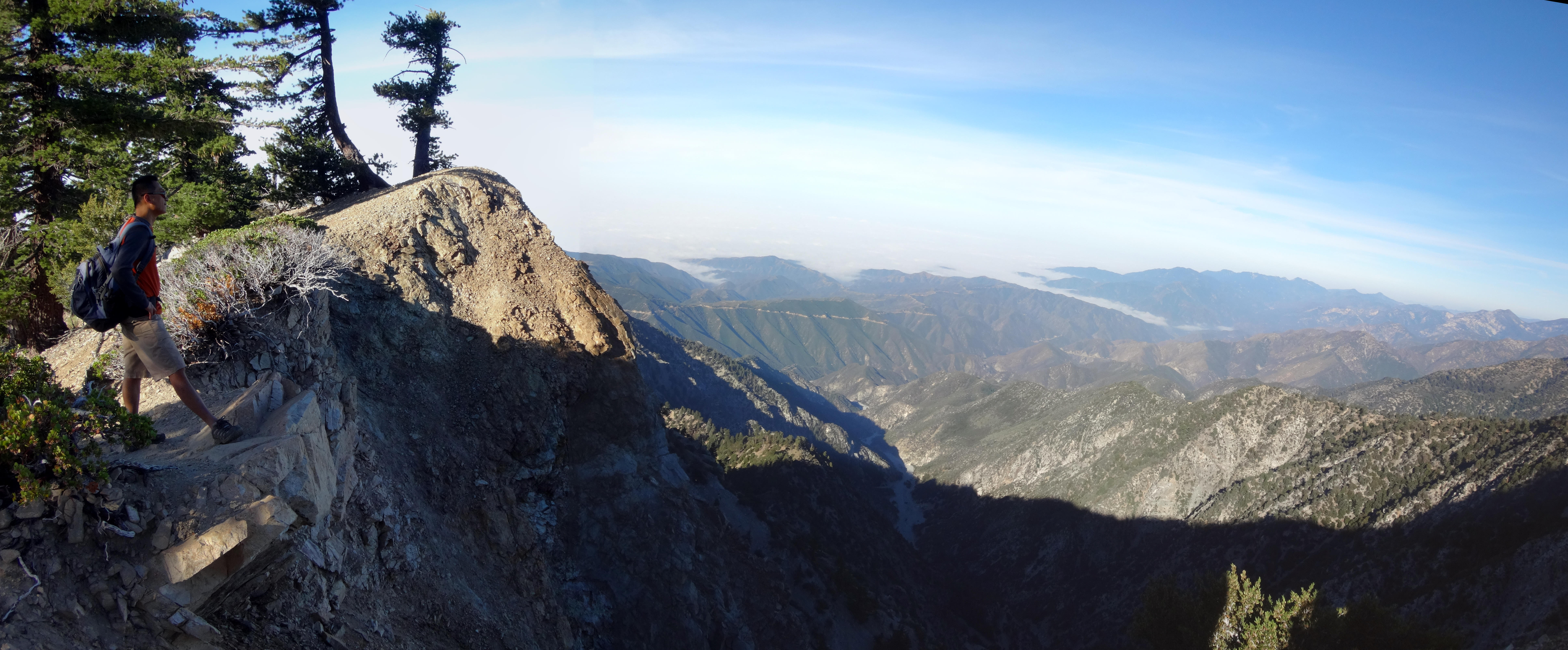
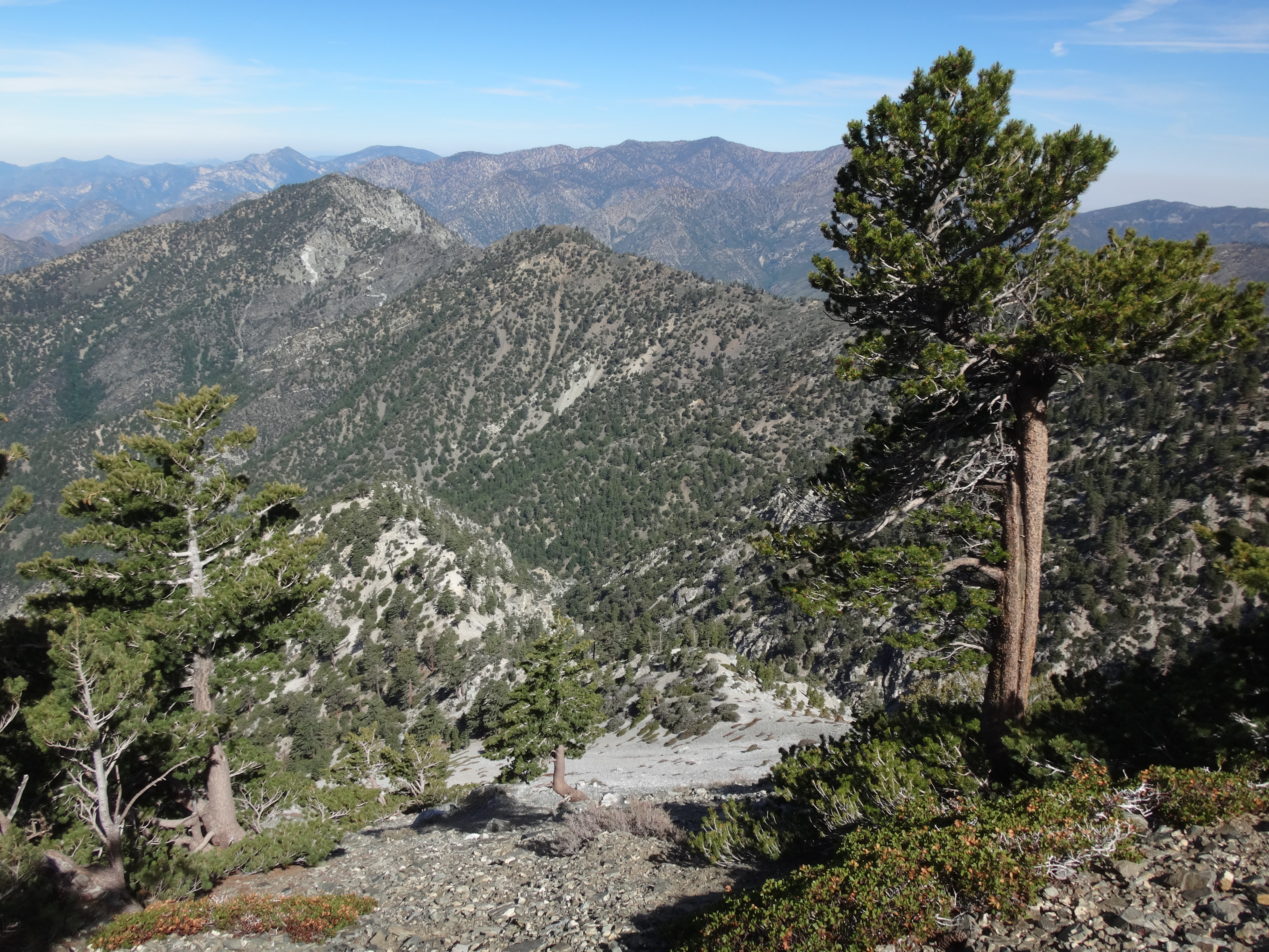
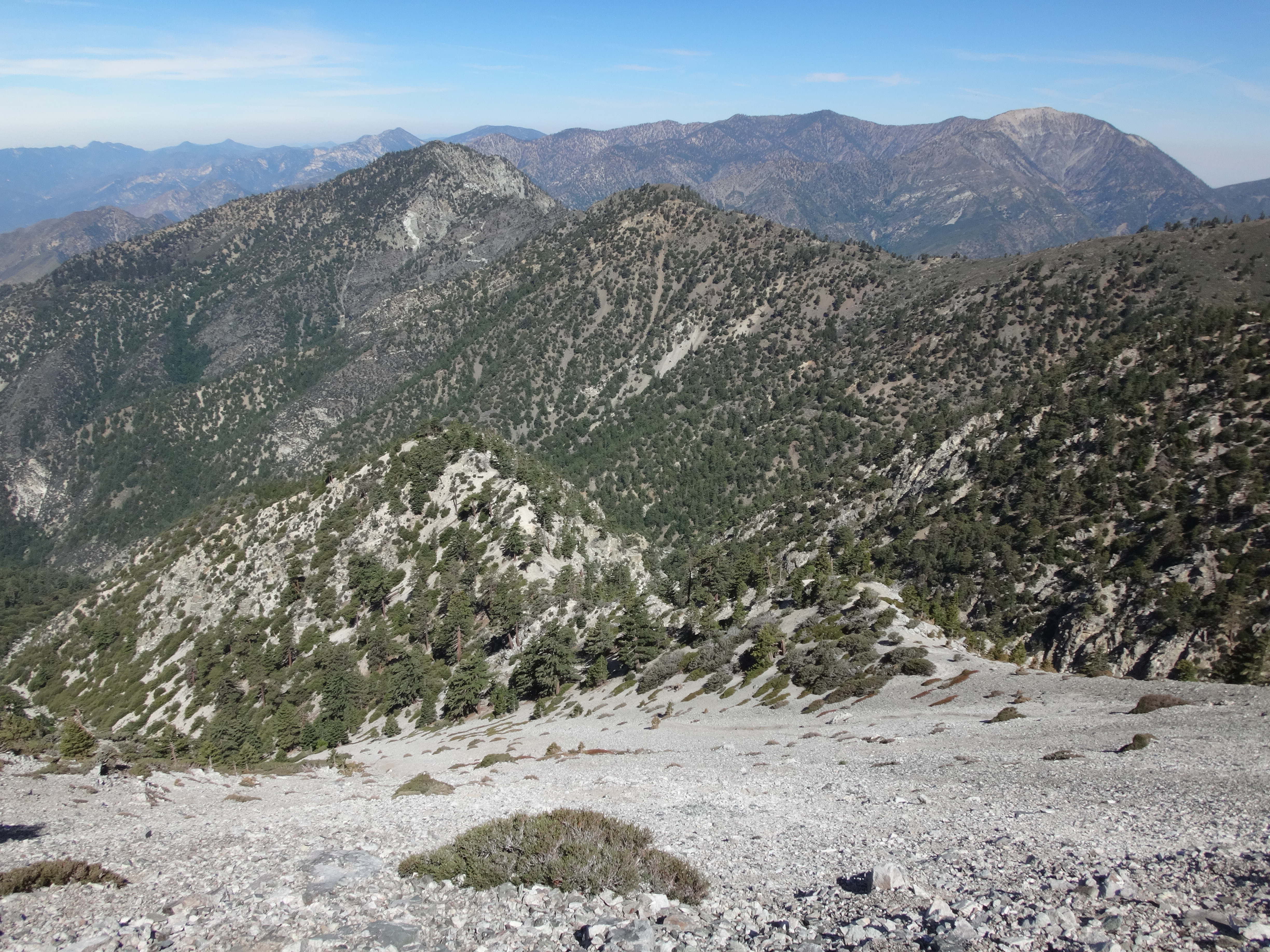
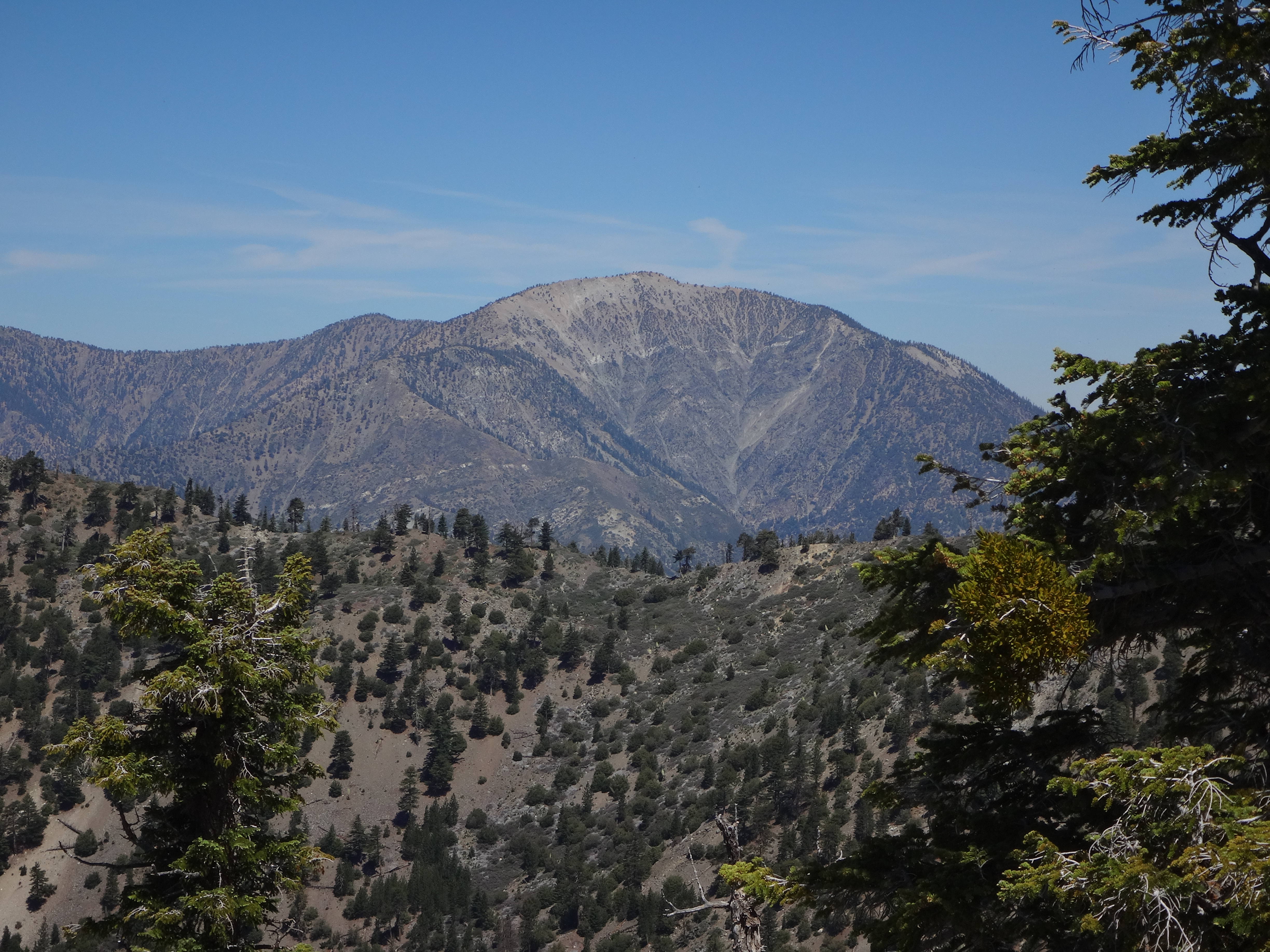
Not only is this peak a great spot for viewing the avalanche zone, but you also have amazing looks at Baden-Powell and Iron.
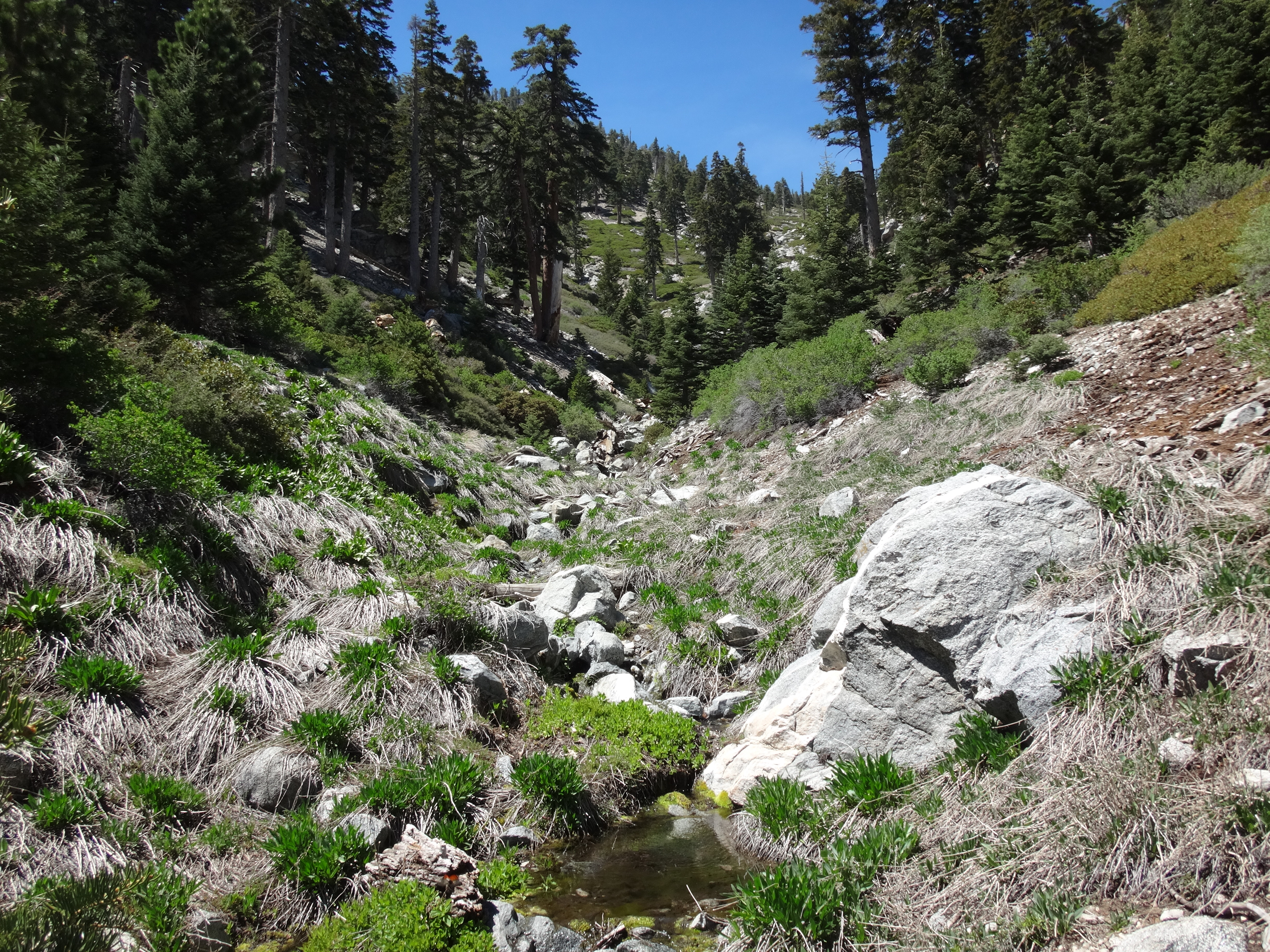
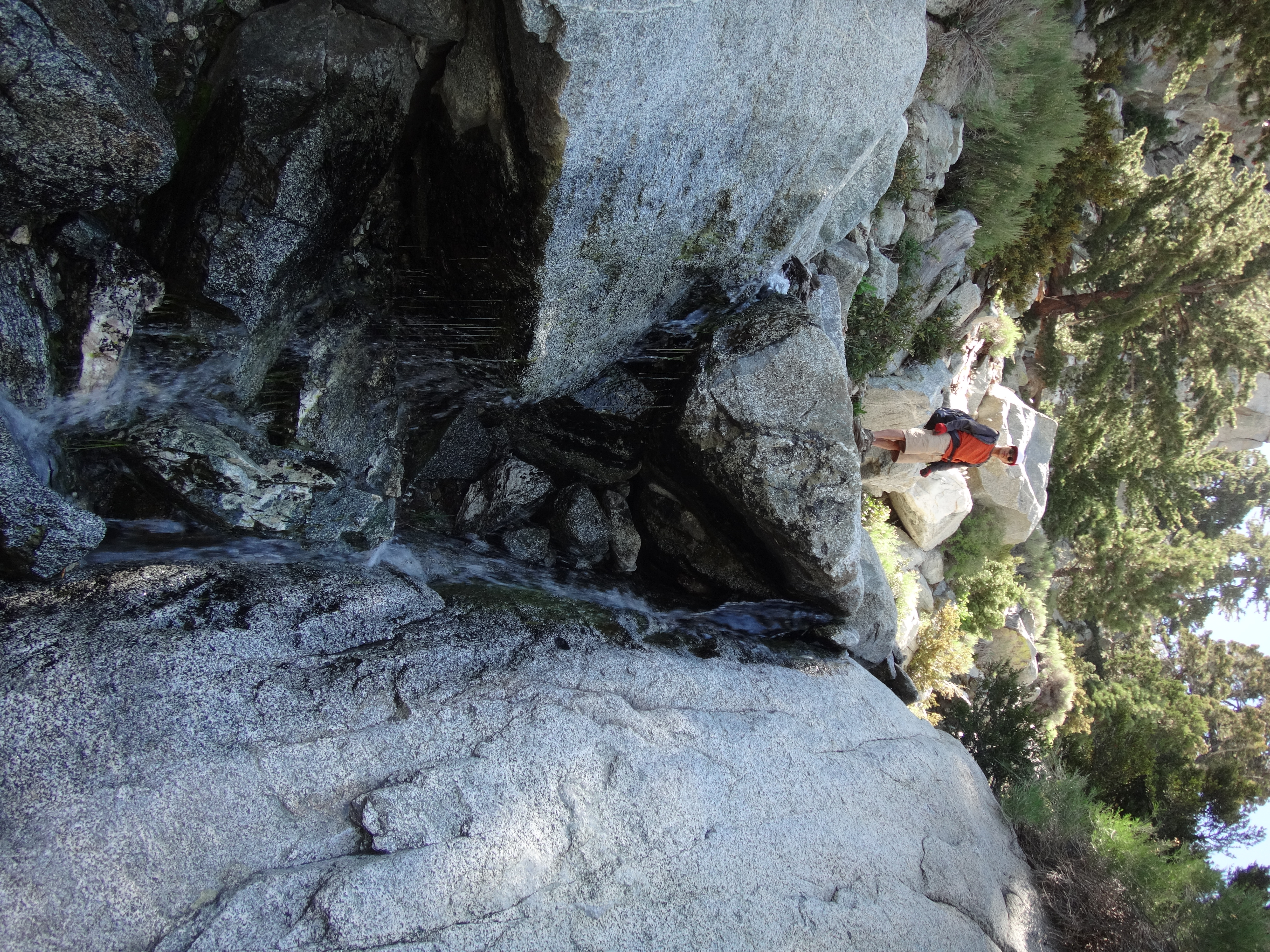
Also of note, there was flowing water (heard and seen) maybe 300' below the 7520' saddle in the gully to the north side of the ridge. You know, just in case you plan to camp out there. And it looked like an animal trail led down to the water from the saddle. The drop didn't look horrible, compared to what we had already done, though I imagine it would be tricky.
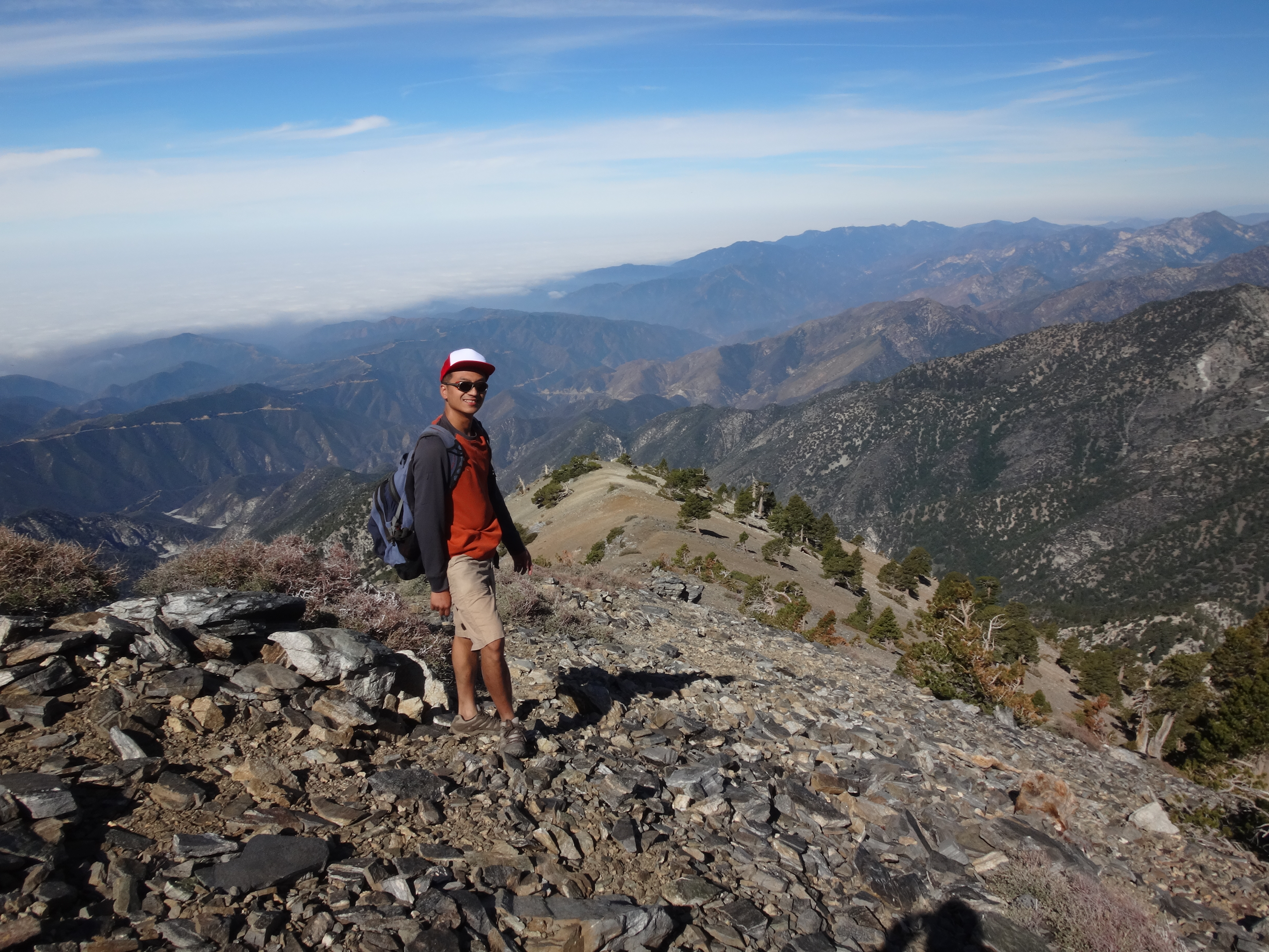
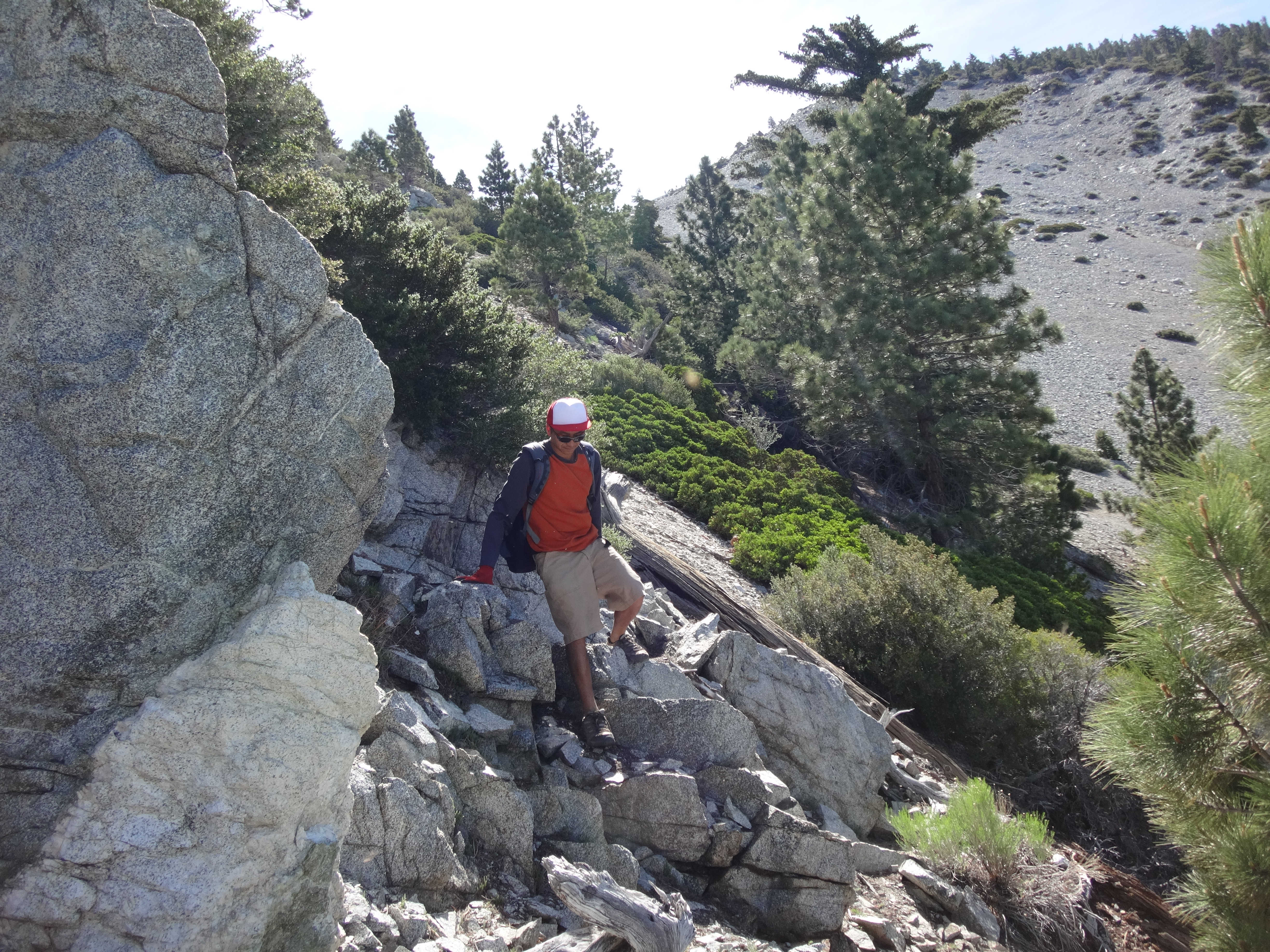
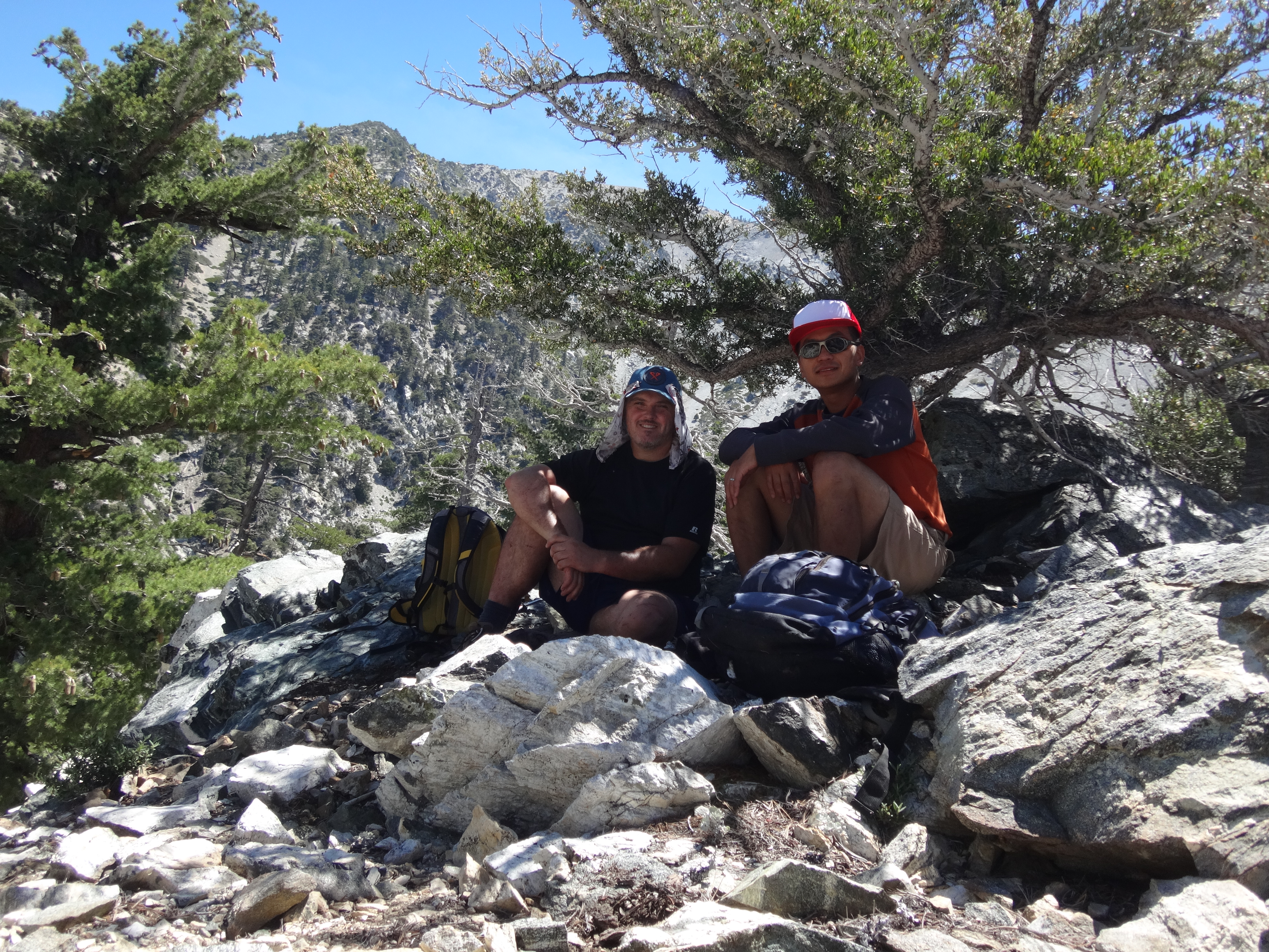
Having enjoyed the views and some lunch, Henry and I took the obligatory summit shot.
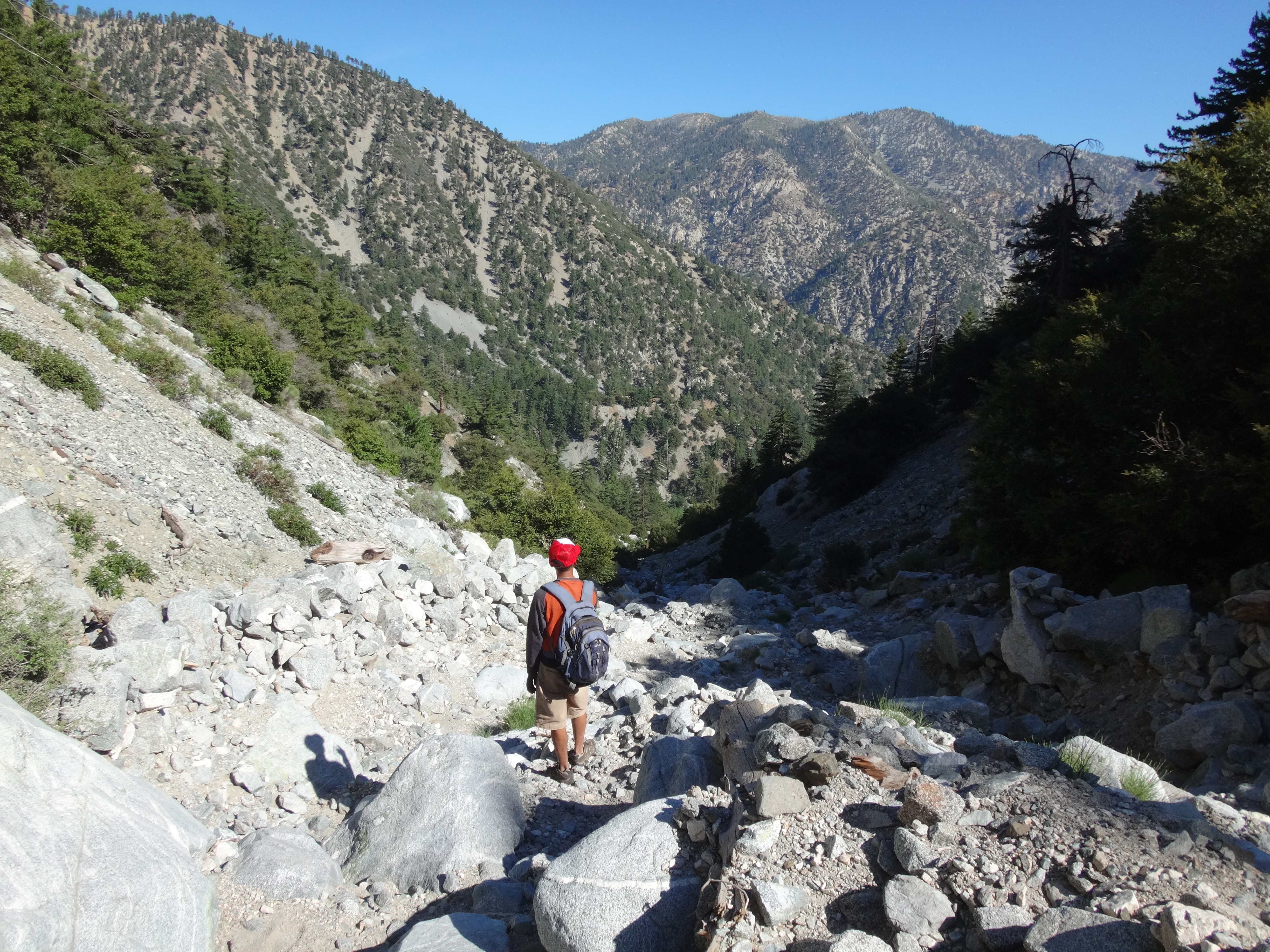
Then shortly after 11am we began the midday battle with the scree slope.


This took a couple hours, as we were quite tired, the bugs were getting to Henry, and I wanted to rest several times in whatever shade was found. The steep footing, however, was mostly okay going up, but some areas did slide on us, which was a little frustrating.
Back at Big Horn Point we retrieved stashed water bottles and debated our next move. Henry had never done Good Canyon, so I persuaded him to take it down, instead of climbing more to Baldy and then descending the Backbone.
So the next four hours were spent negotiating the class 2/3 scramble in beautiful Good Canyon.
In total we spent about fourteen hours wandering around the wilderness. Our gain was in the neighborhood of 7500'. Miles: a little over nine.