At 4:30am we owned the Icehouse Canyon parking lot, where Henry dropped his car and rode with me down to Barrett-Stoddard. By 5:30 we had already strolled up the fire road to Cascade Canyon and were now waiting for sunrise to begin the scrambling portion of the day.
Henry and I sat down on the road. He had some breakfast, a Vietnamese sandwich and hot tea. And I peeled a banana. A little after six, we stepped into the canyon.
In a previous report I described the trip through Cascade to Turtle's Beak in some detail. So here I'll highlight only a few things and move on.
First, there is a substantial dryfall around elevation 5600', which can be bypassed via a class 3 ledge along the left.
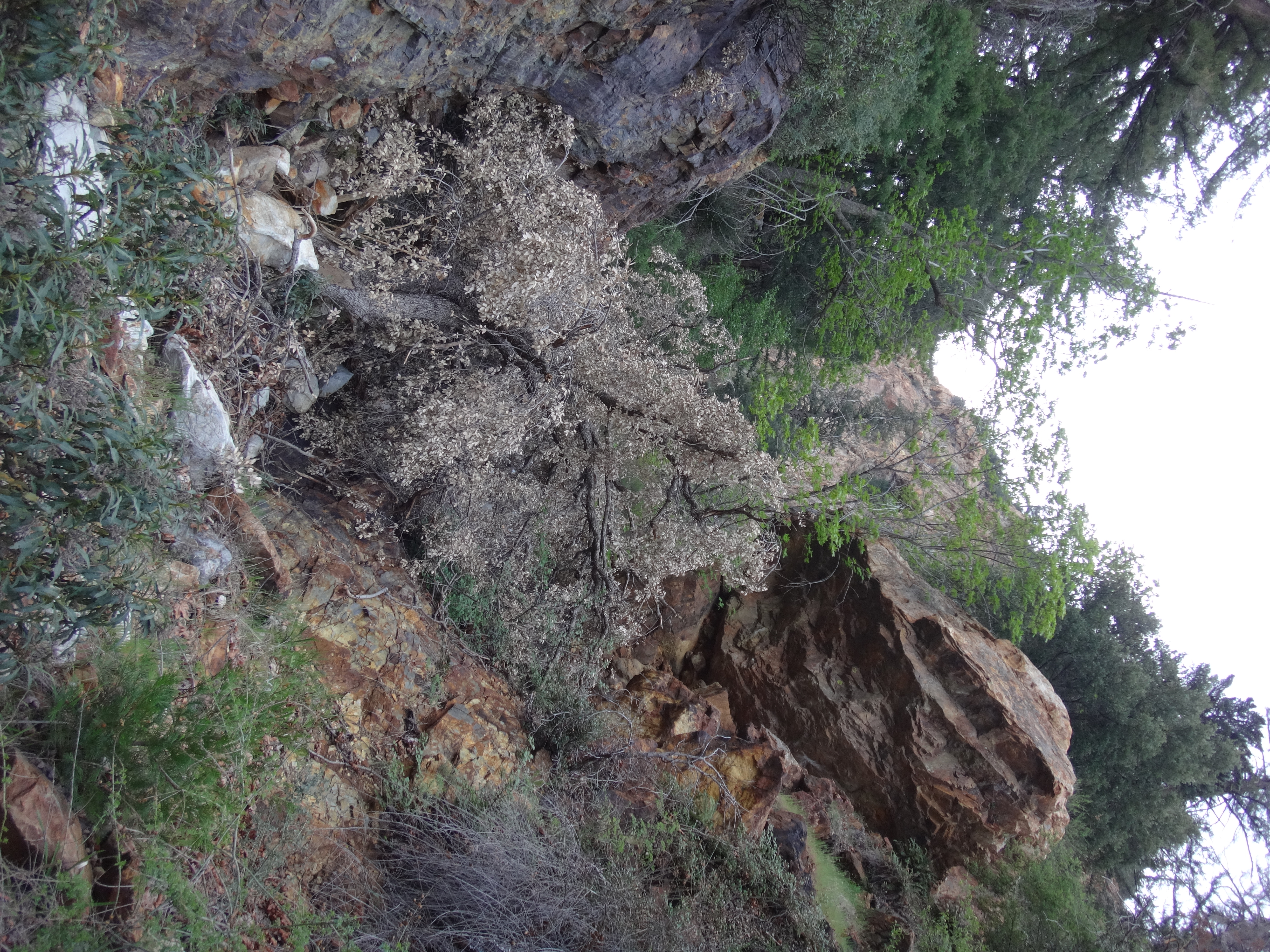
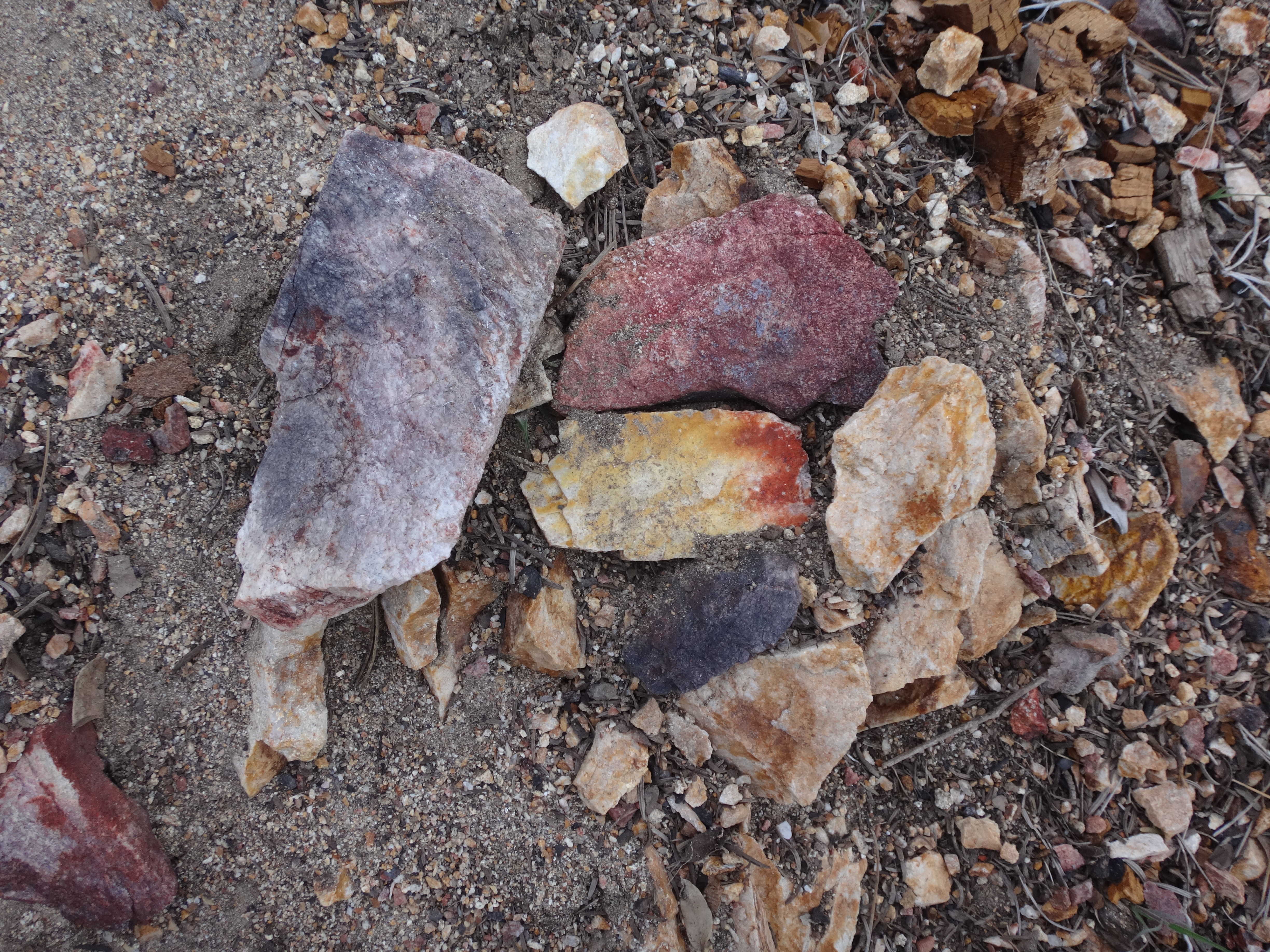
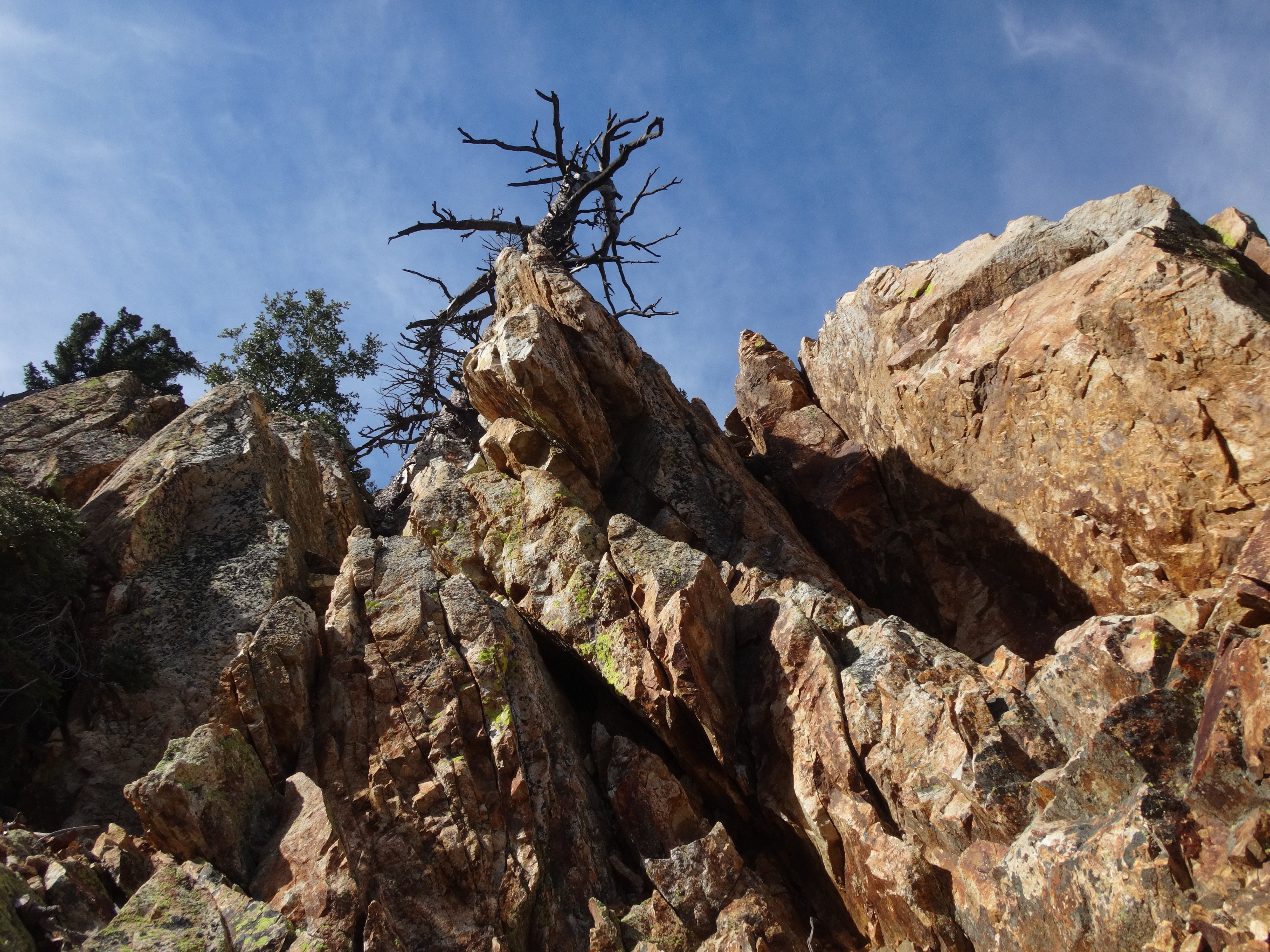
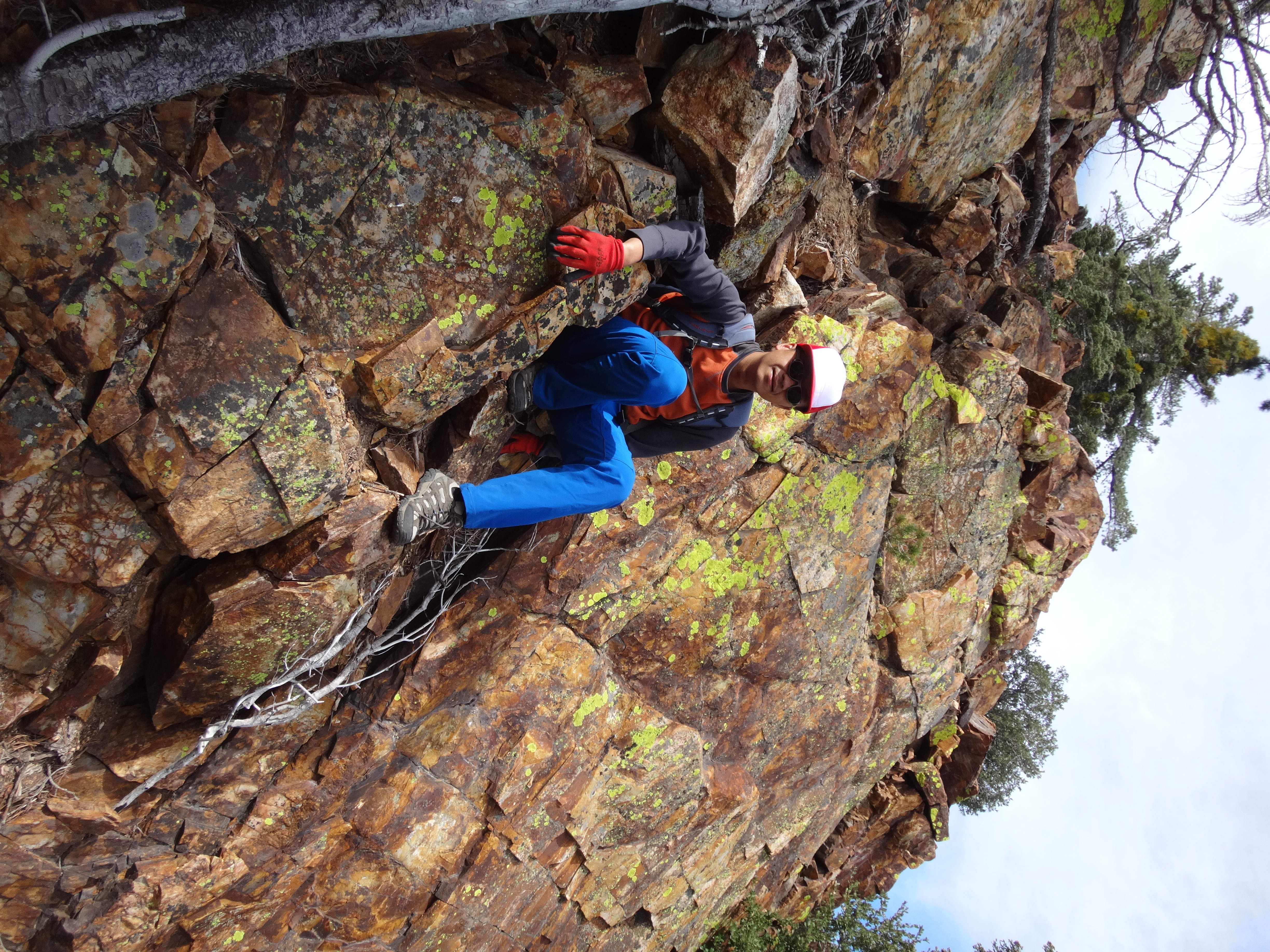
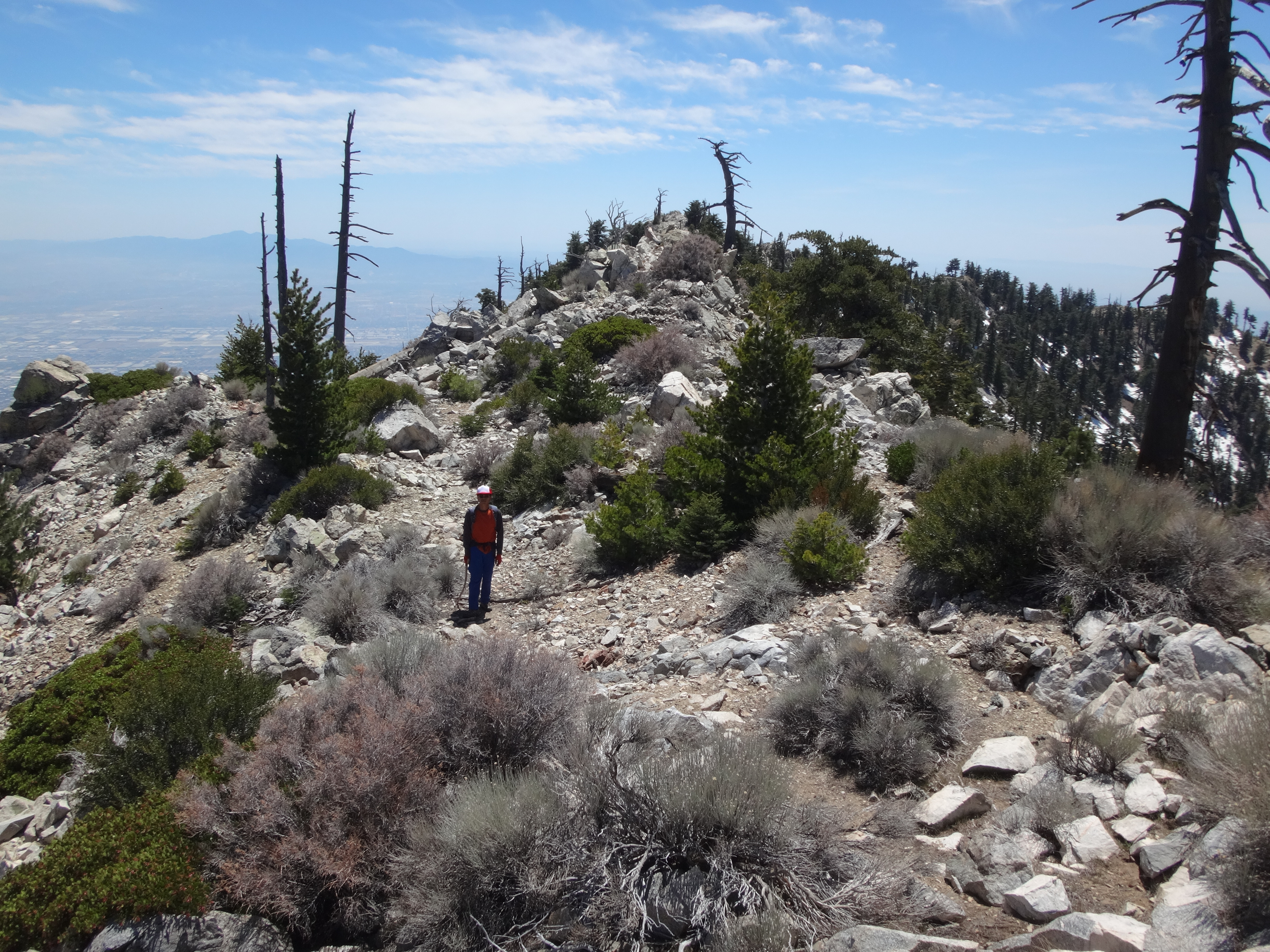
Immediately after this dryfall, we exited the canyon floor and began up the slope on the right. There were some usable animal tracks, but the going was steep with loose scree. Soon the amazing, colorful rock formations emerged out of the mountainside.
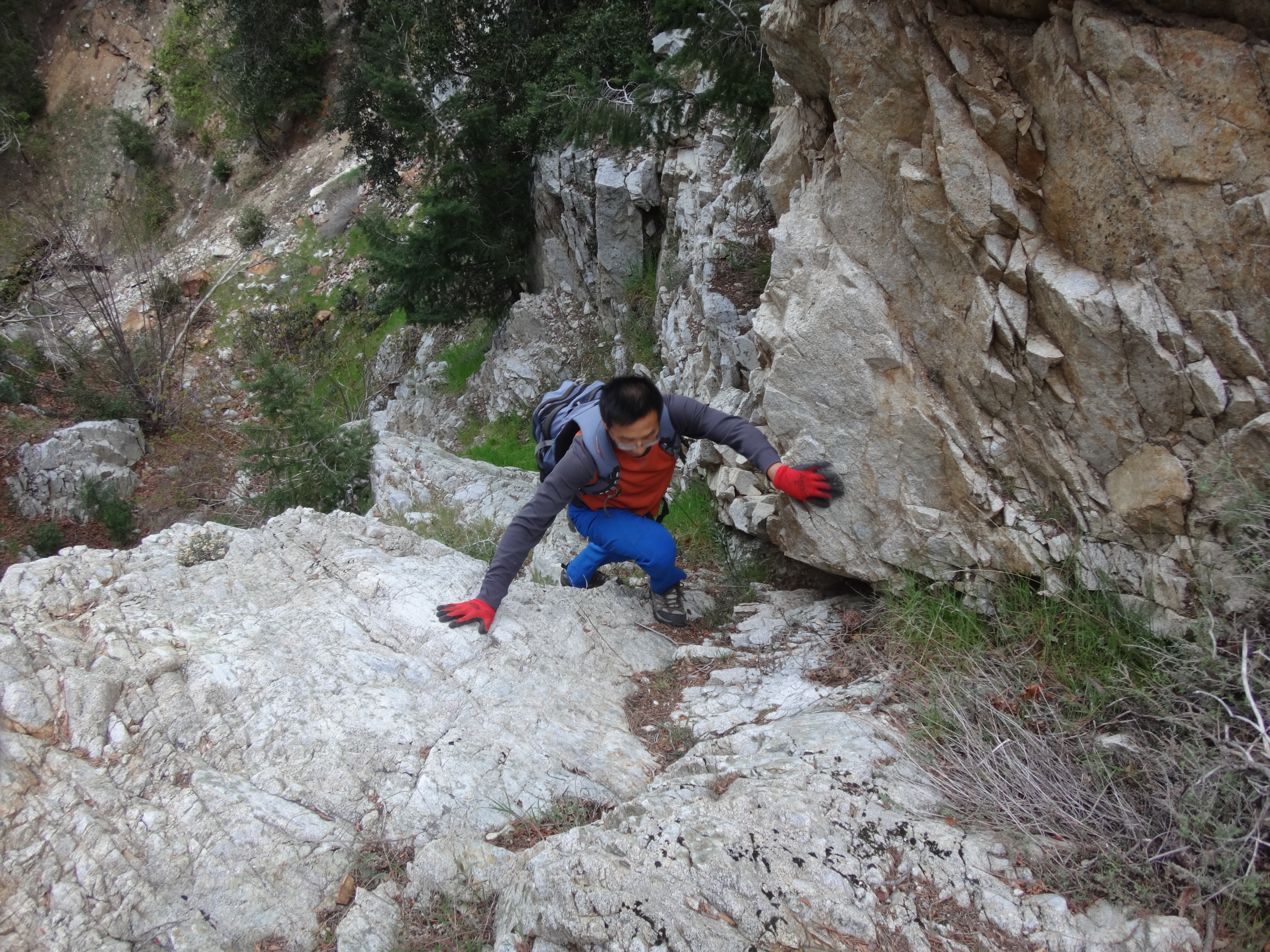
Henry mostly preferred a gully between the formations, while I stuck mostly to a prominent, rocky rib on the left, which I'm calling Polychrome Ridge.
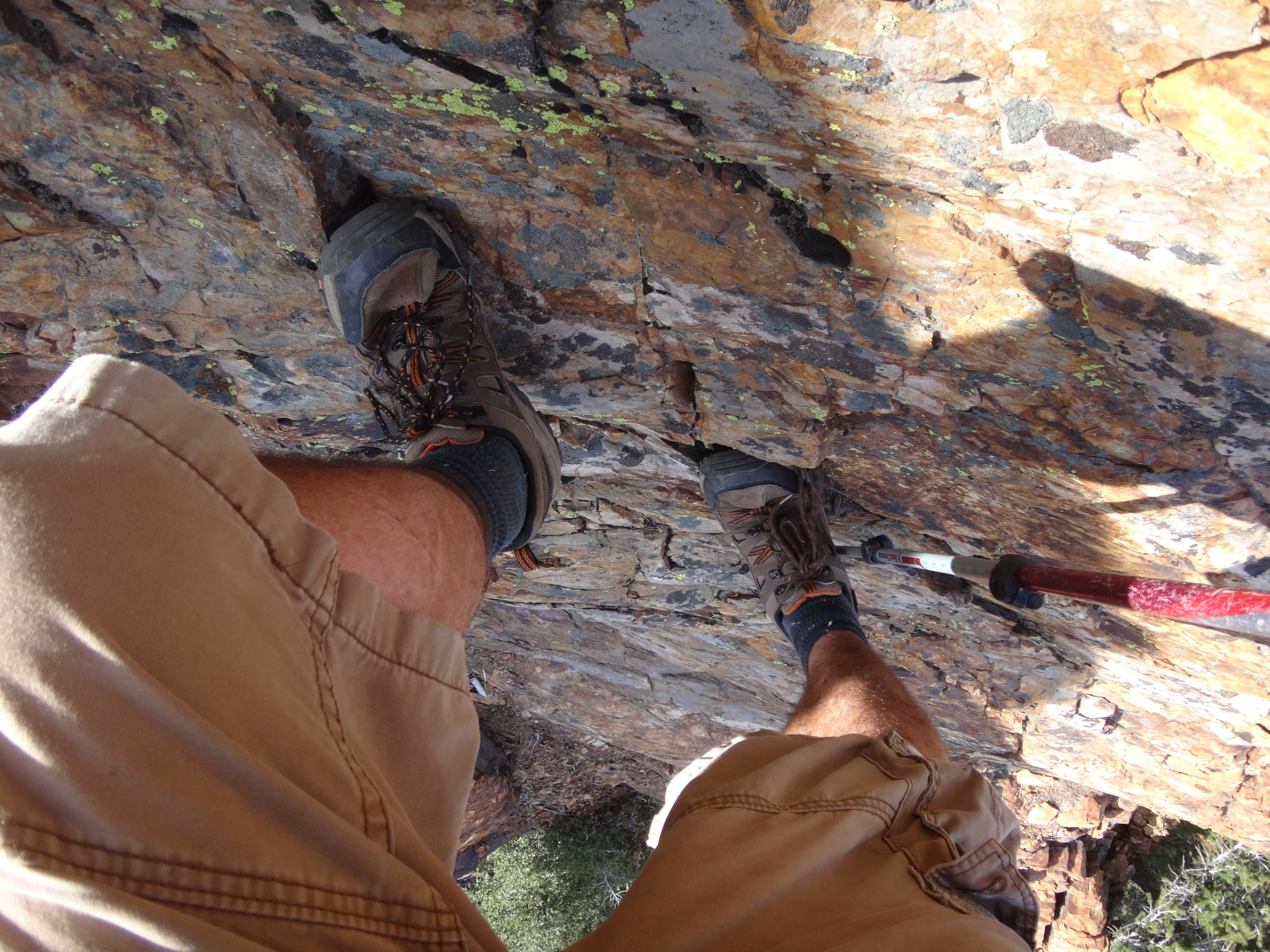
My particular course ended up being class 4, but easier and harder ways are available.
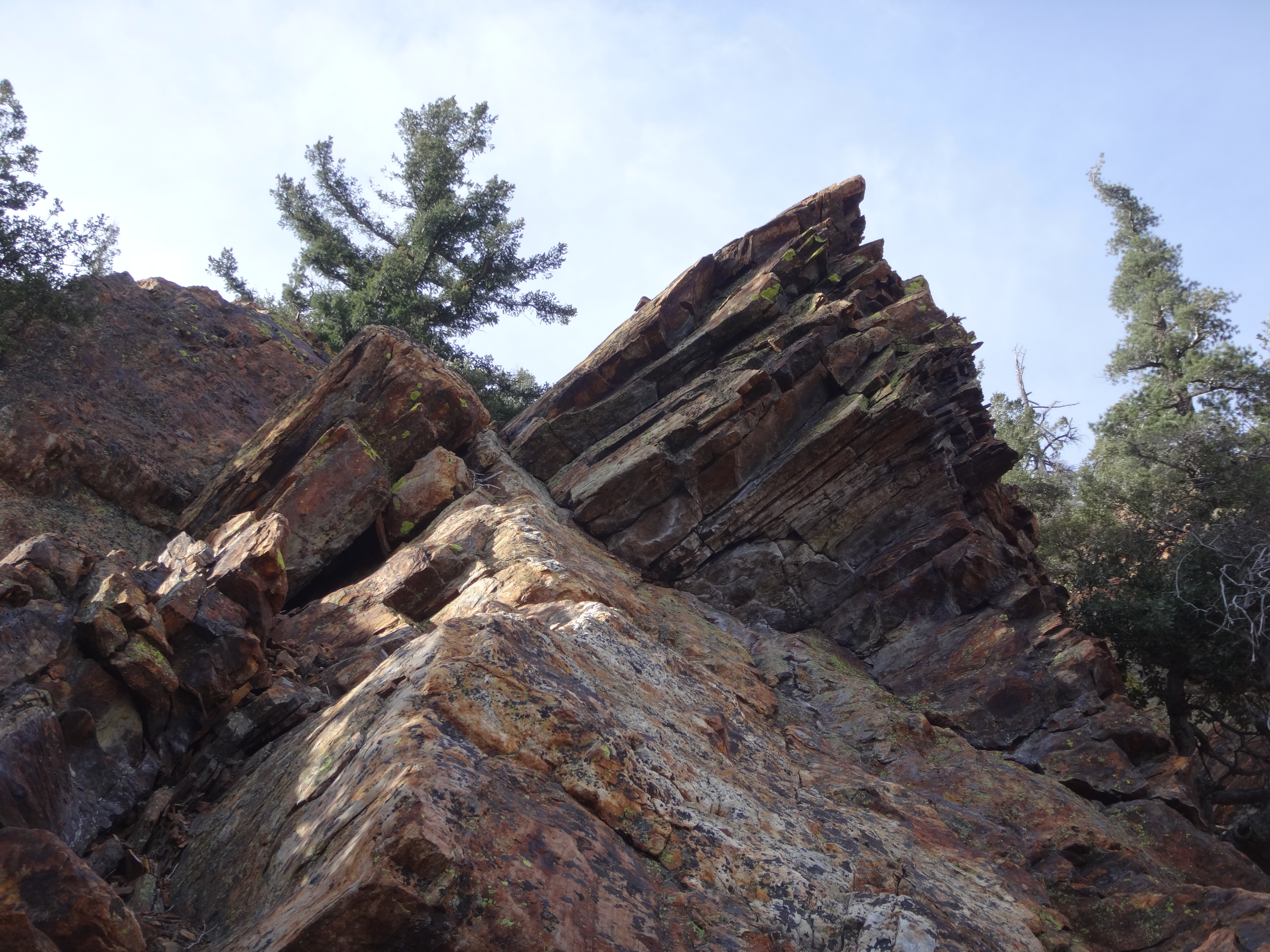
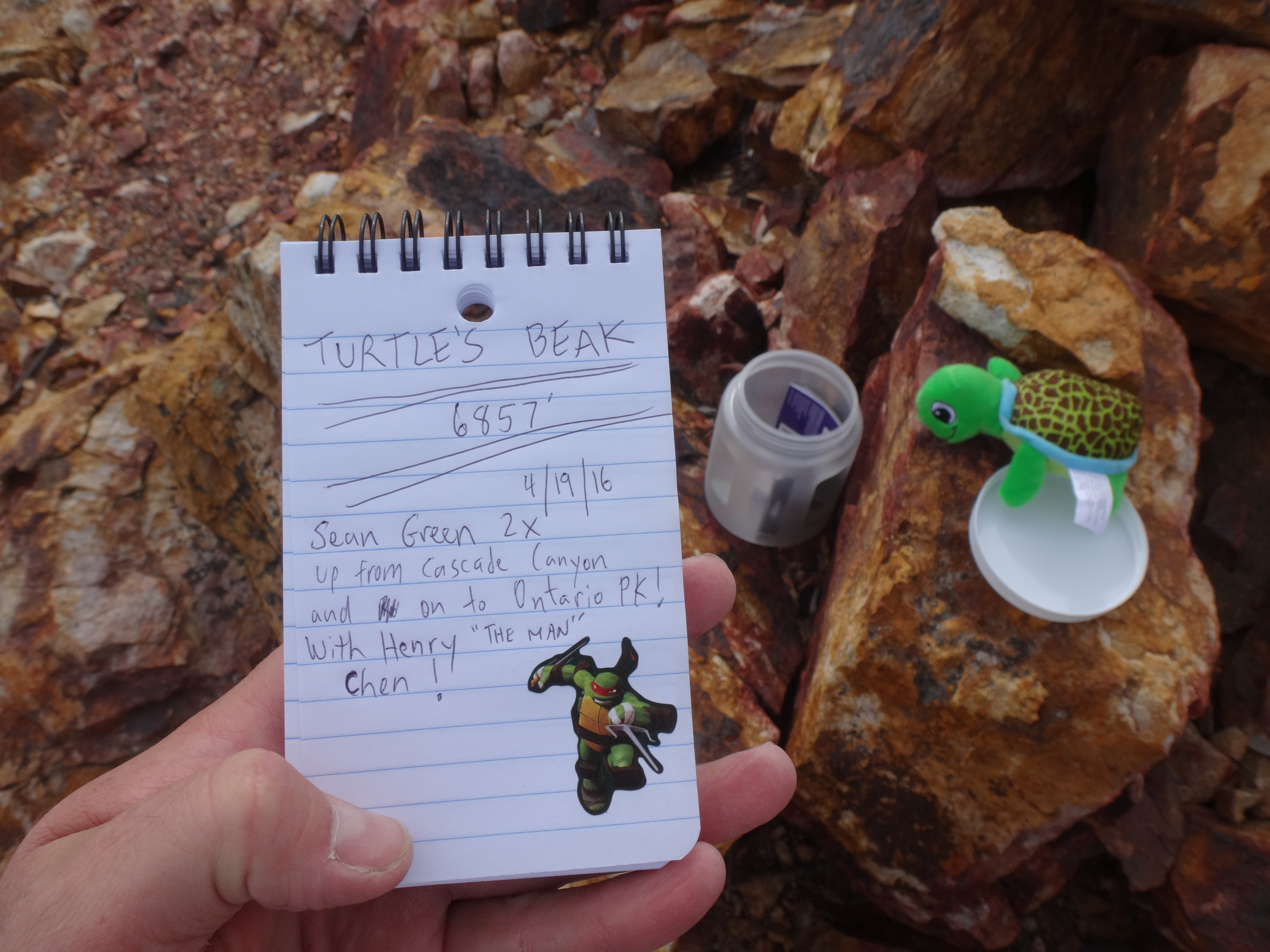
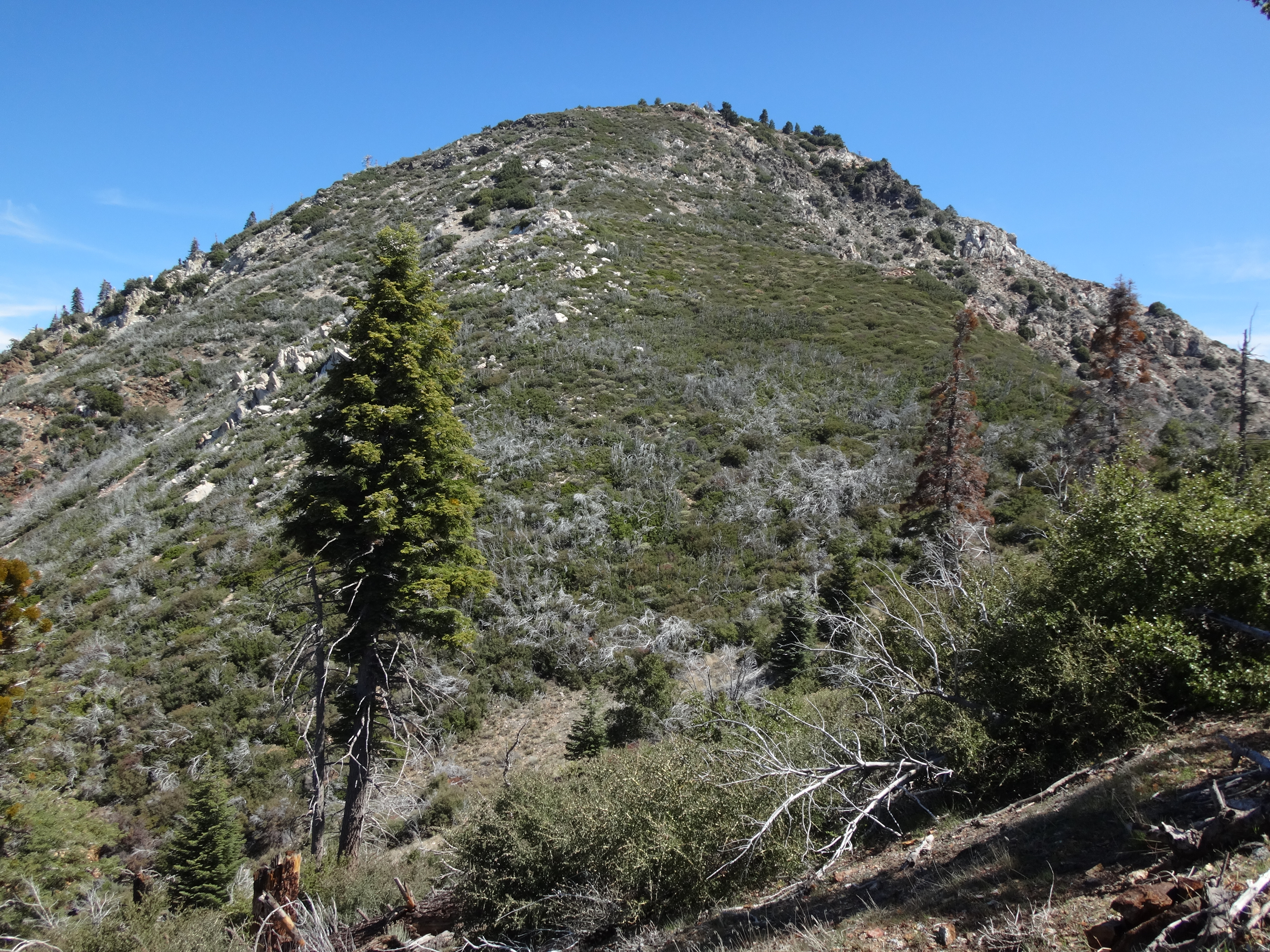
Polychrome hits the parent ridge about five hundred feet west of Turtle's Beak summit (6857'), where I placed a register and plush toy.
After a snack and a bit of rest, it was almost 10am and time to take on the ridge to Ontario Peak.
We scrambled down the northeast side of the Beak.
Beyond the first saddle we instantly realized that the local buckthorn very much detested our presence.
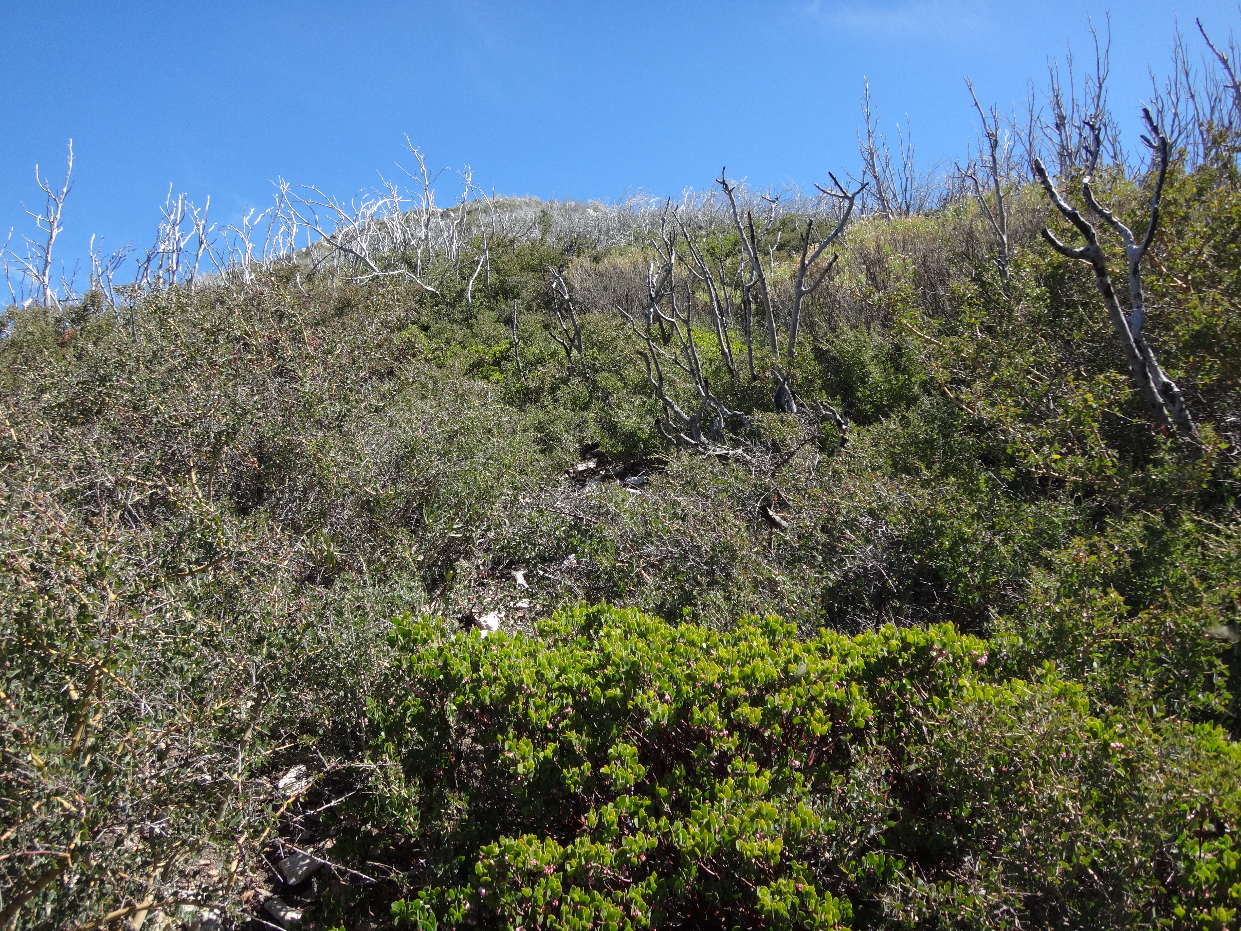
I managed to stumble into the vicious heart of this hell and emerge with a thorn buried in my forearm.
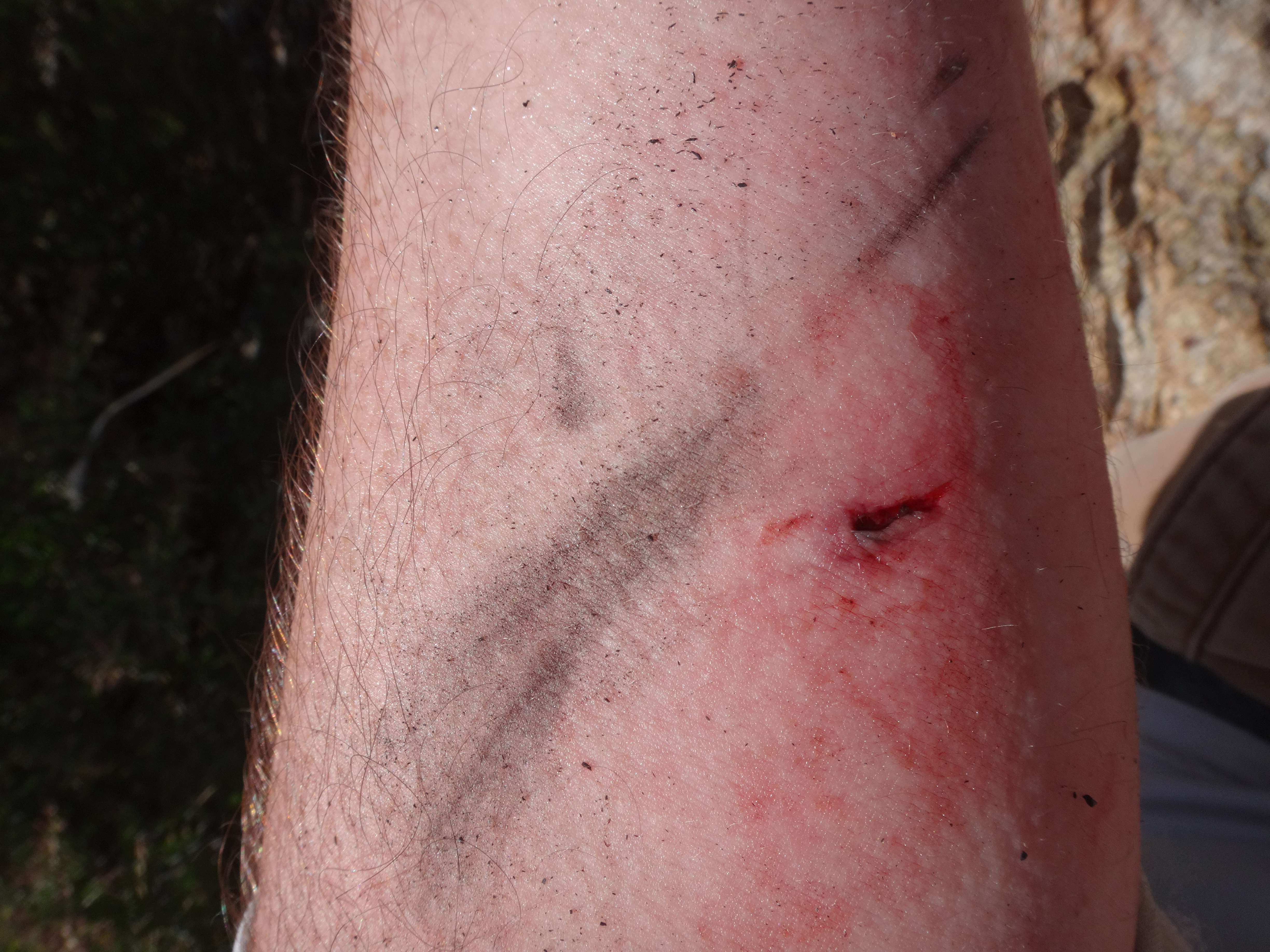
Like a delusional psychotic, I spent the next several minutes digging fingernails into and peeling back my skin, trying desperately to remove the embedded plant-weapon. Neither Henry nor I had a pair of tweezers.
Finally the thorn-tip came out and the pain subsided. I cursed my lack of preparation for such an event and washed out the wound as best as I could.
Usually I carry several first aid items, including tweezers. But I had recently emptied out my pack to wash it and then stupidly forgot to put everything back inside.
I, however, have no real explanation for continuing to bushwhack in cargo shorts. Perhaps a deep, dark part of me enjoys torturing my shins and involuntarily cursing in pain every time the thorns get the better of me.
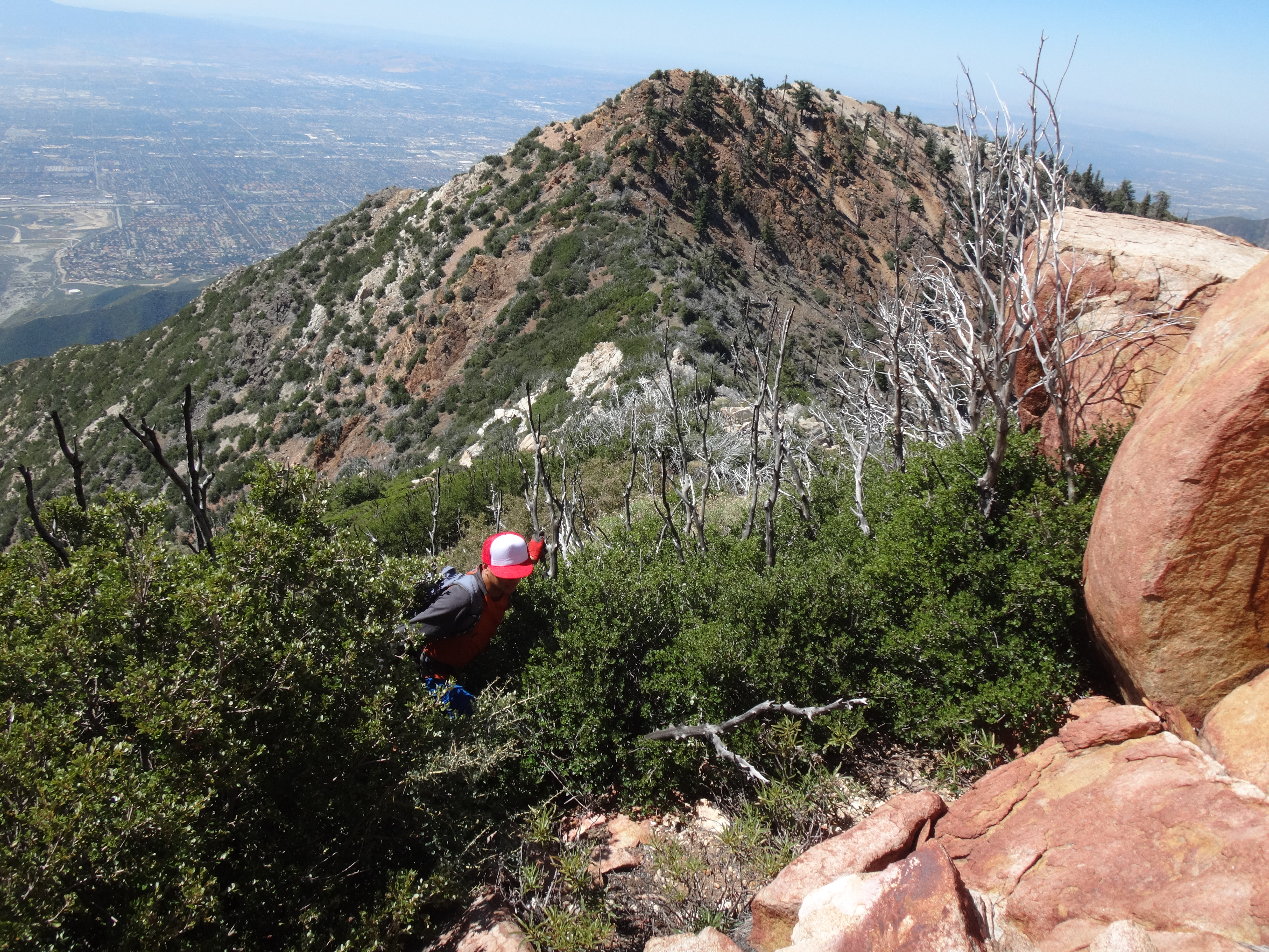
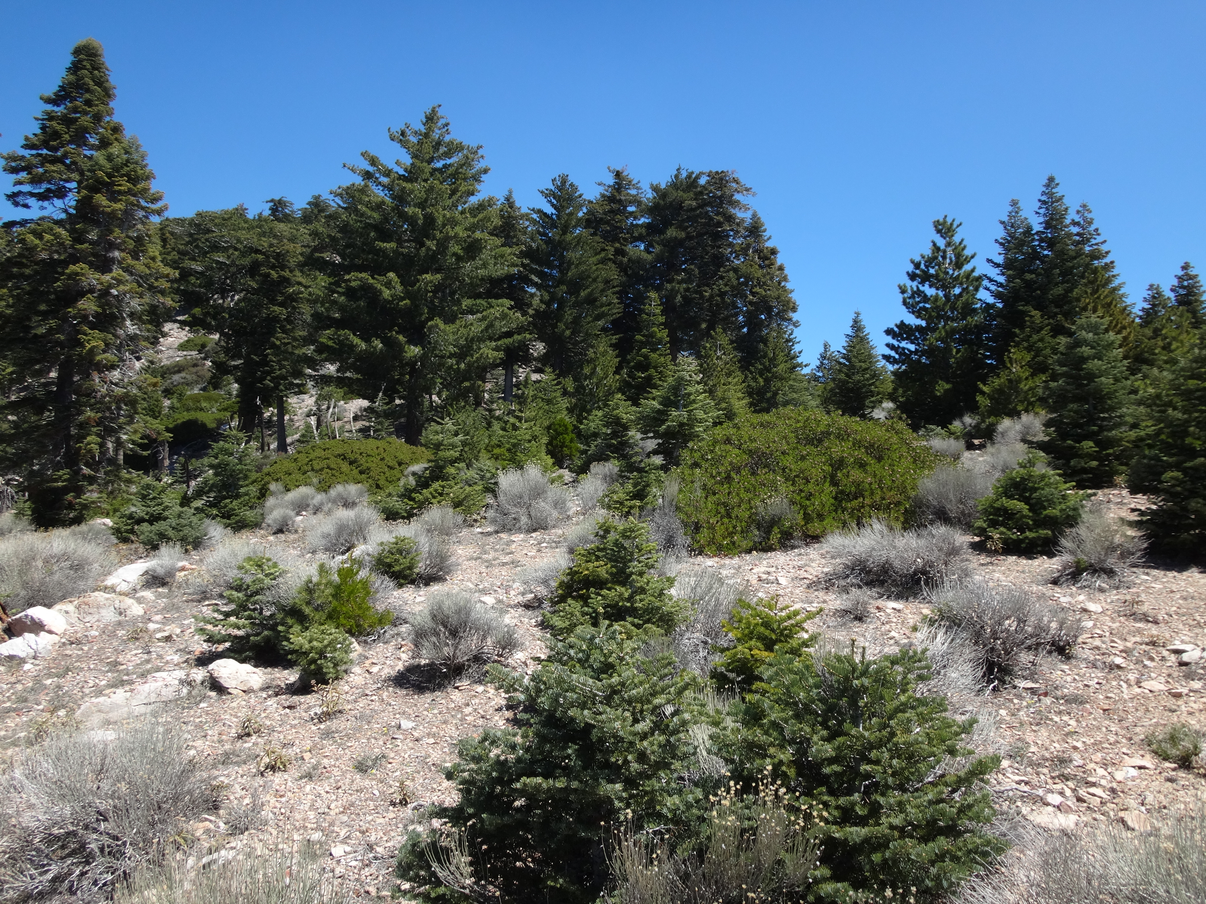
Anyway, we survived the first wave of thorns. Then a second one, all while ploughing up the steep ridge. After two hours of following crappy and inconsistent animal trails through heavy and evil brush, we finally reached the comfort of a nicely forested slope.
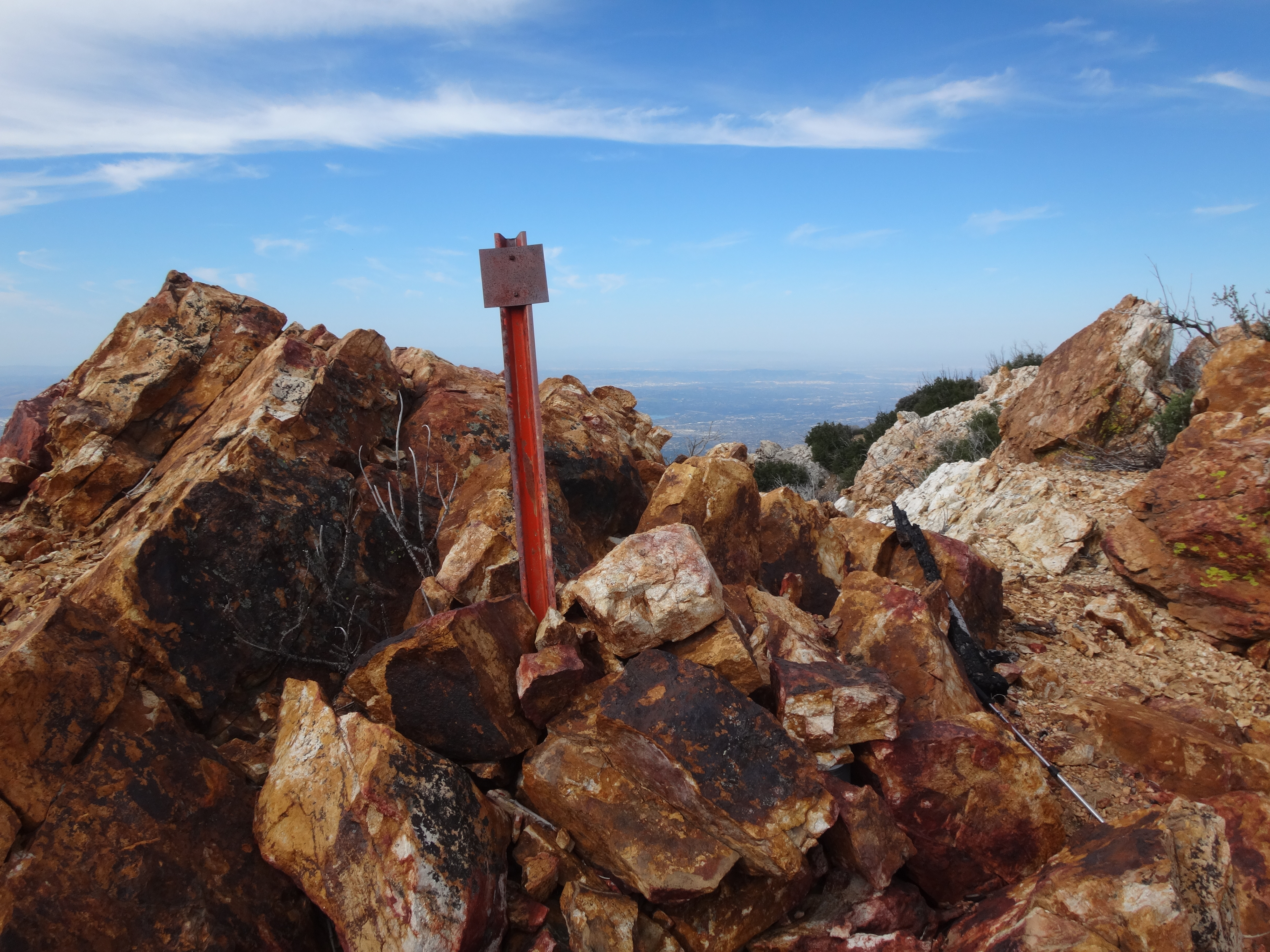
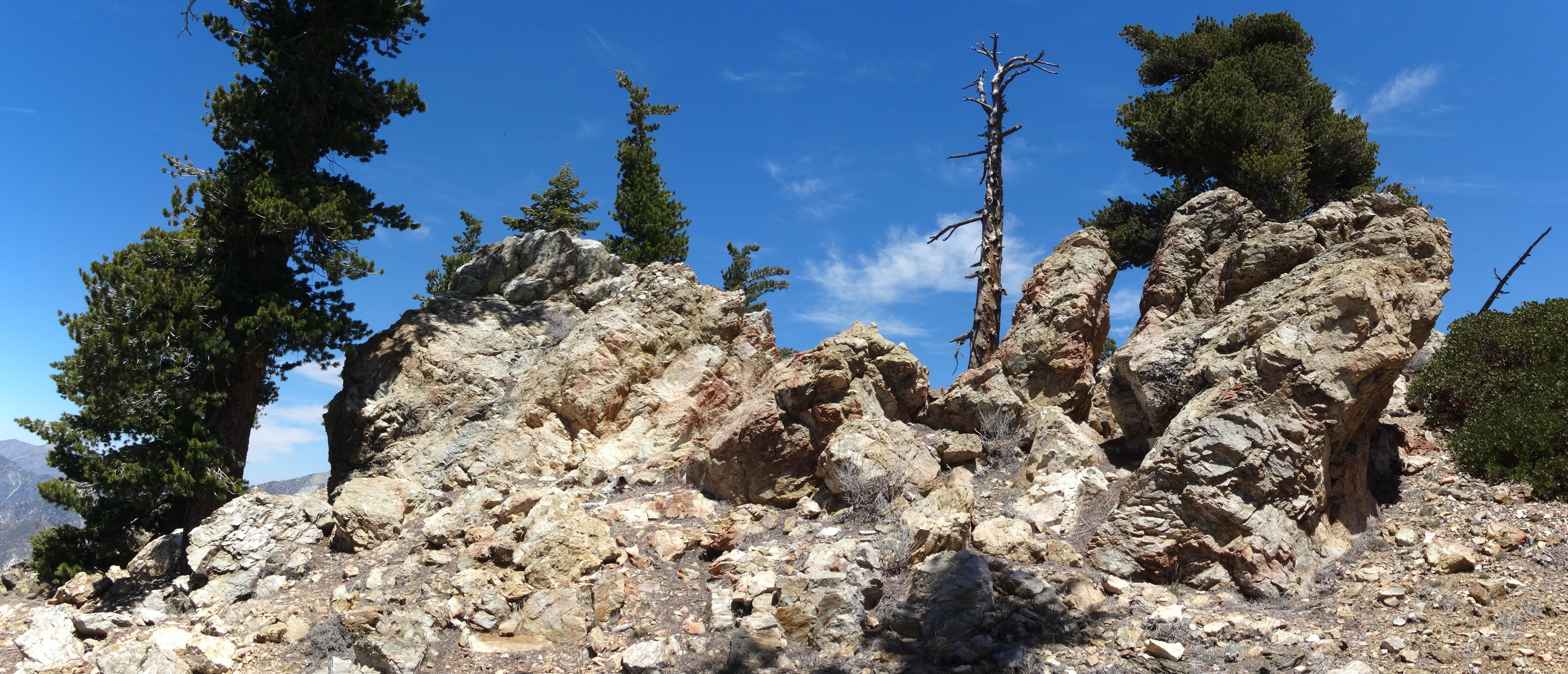
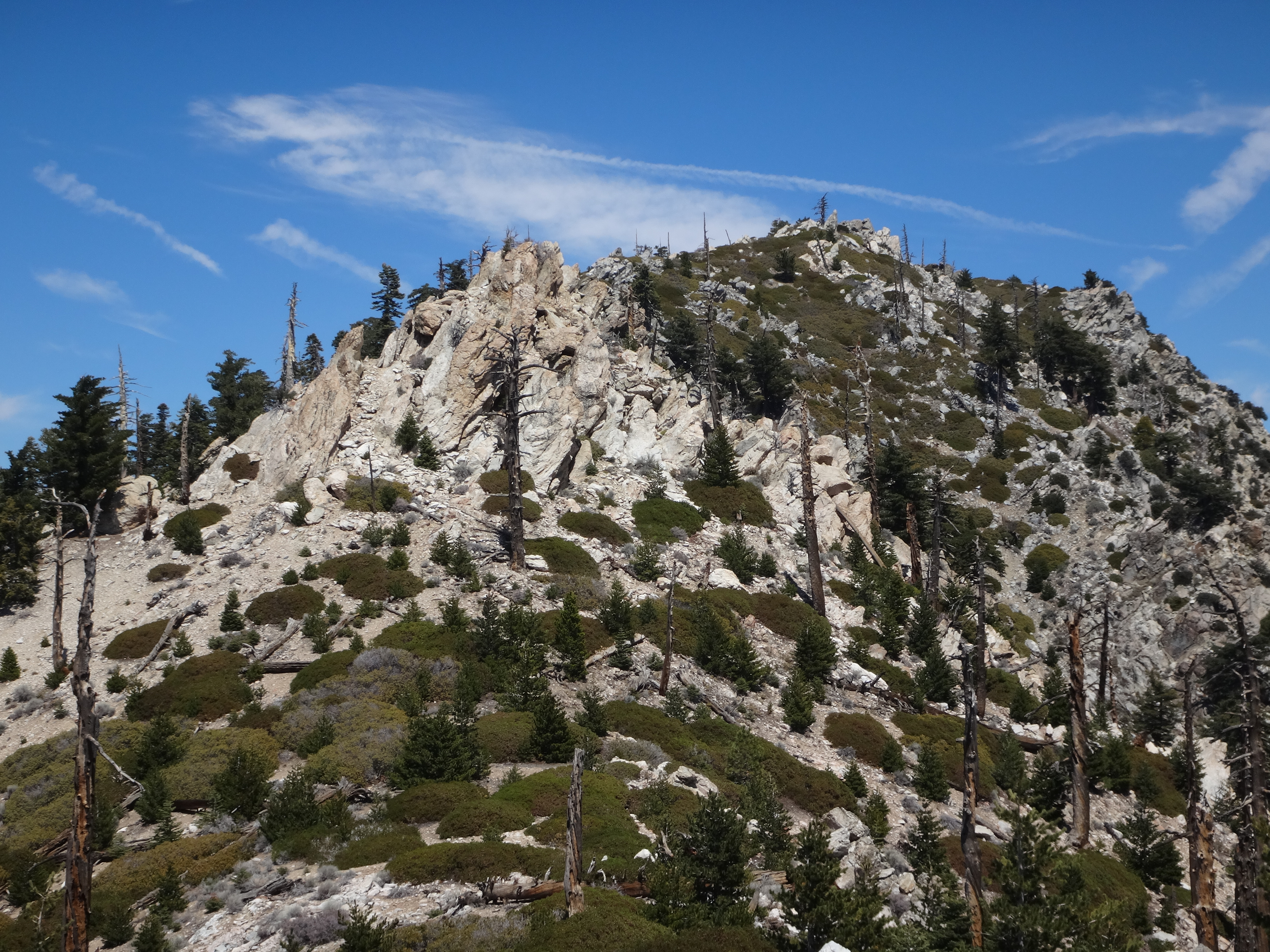
The ridge also developed attractive rock formations.
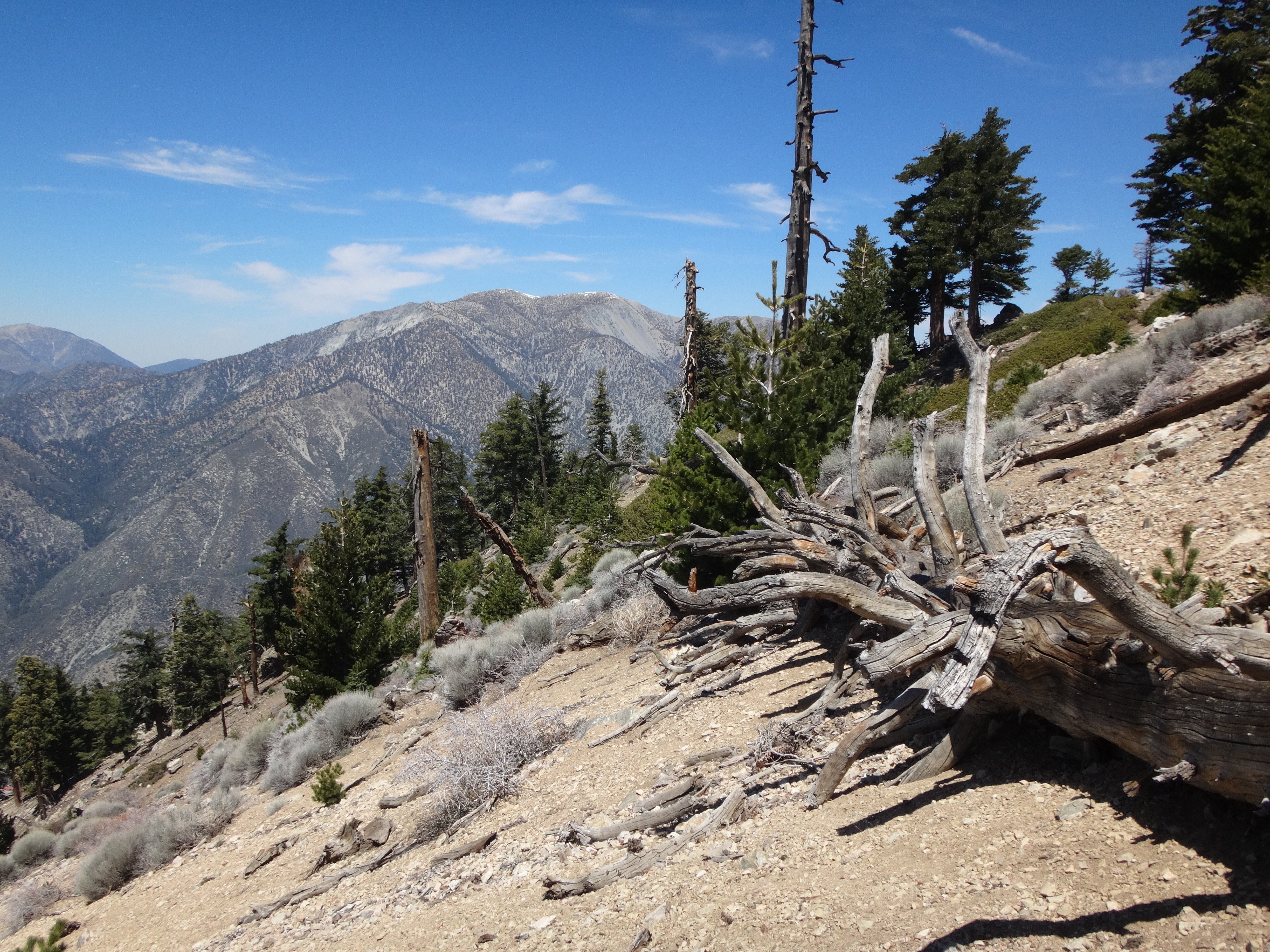
And views of Baldy.
Getting over and around the rocks provided some needed fun after the painful thorn experience. And most of the remaining ridge climbed at a pleasant, easier grade, with plenty of trees for breaks in the shade.
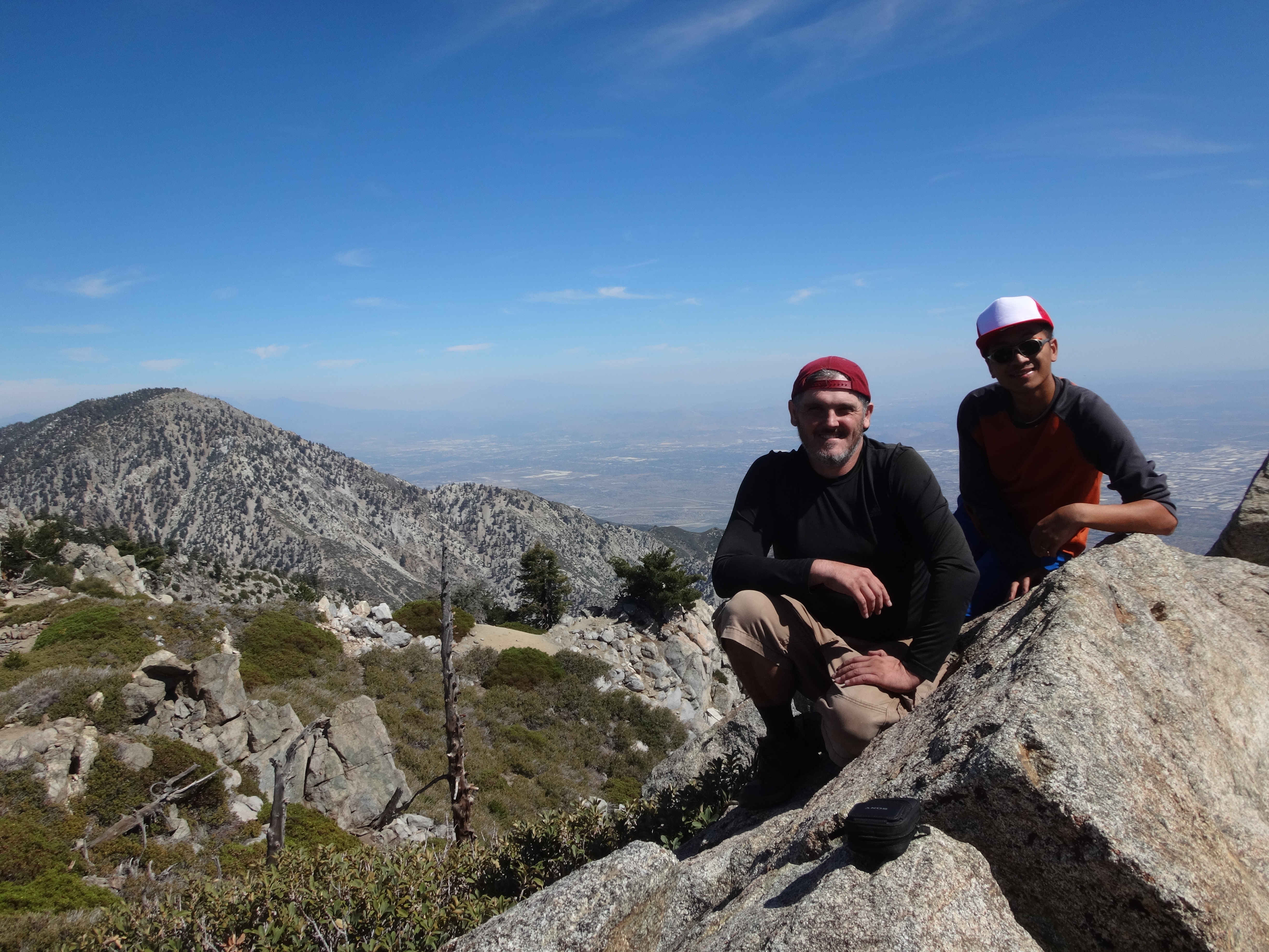
About three-quarters of a mile from the peak, Ontario's summit came into clear view.
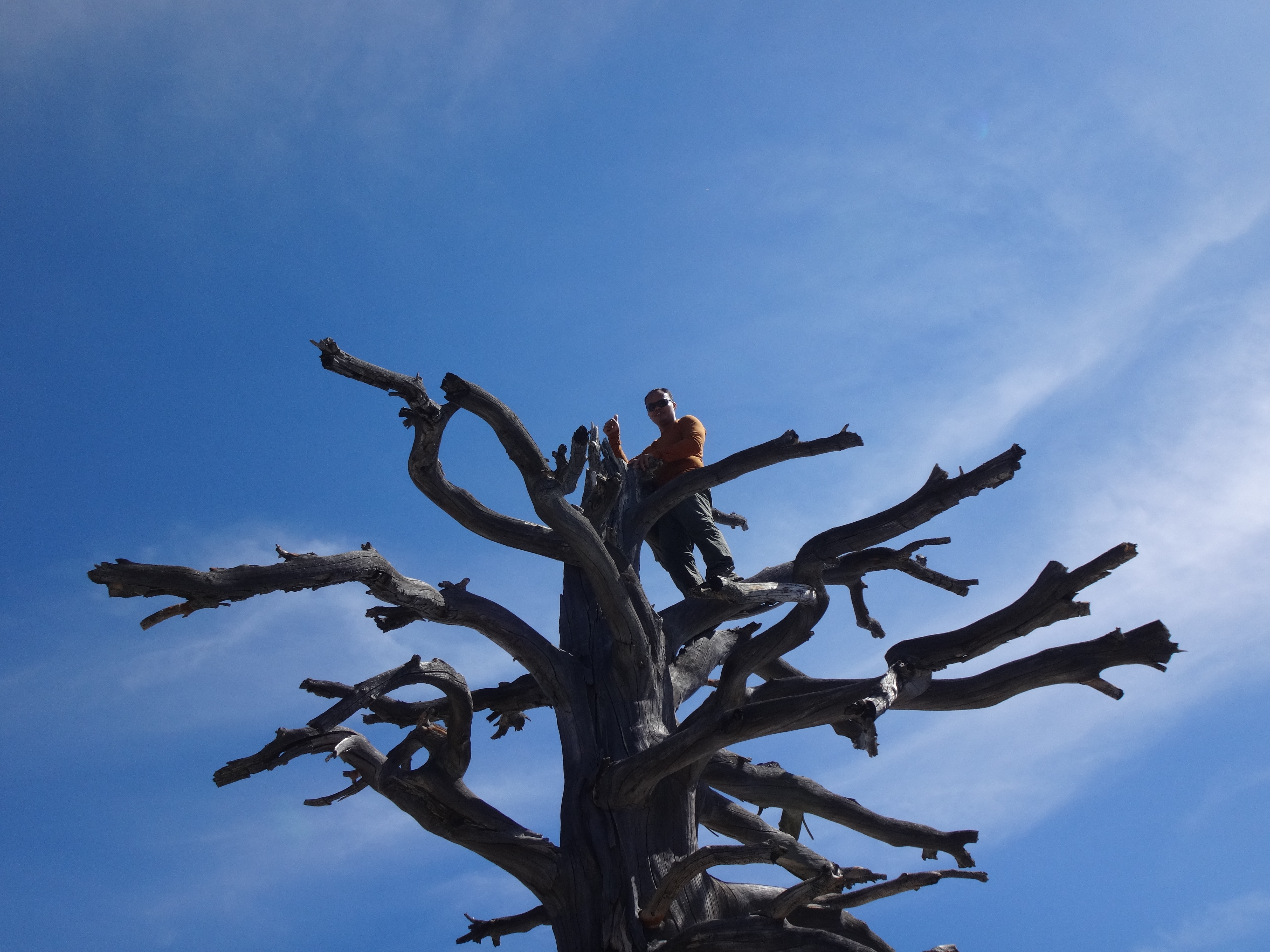
And by 2:30pm we were eating lunch at the top, while another hiker entertained us by monkeying around on the dead tree up there.