Yesterday I drove to Islip Saddle intending to hike up toward Baden-Powell, but then I remembered that there is something called the South Fork Trail, so instead I hiked down to South Fork Camp, then across to Devil's Chair. It was about 50 degrees with some light wind when I started at 11am. By the time I reached the Chair, two thousand feet lower, it felt like 75 or 80. The South Fork Trail is rough, with lots of little rocks covering long stretches of Trail. In several places landslides have narrowed the path, especially along some areas of exposed, rocky ledges. Nothing terrible, as long as you aren't afraid of heights. These sections are also the most scenic, where the rocky canyon walls narrow and the stream rushes a hundred feet below the trail. Eventually I reached the stream crossing and the campground. Lots of people filled the sites for Easter weekend. I then headed west on the High Desert Trail, which went up and down a couple times, and crossed the stream in Holcomb Canyon, en route to Devil's Chair, where I informed three other hikers about the Bighorn Sheep that was lounging on the rocks directly below. After some lunch and sight-seeing, I started back and made it to the car by 7pm.
Some scenes:
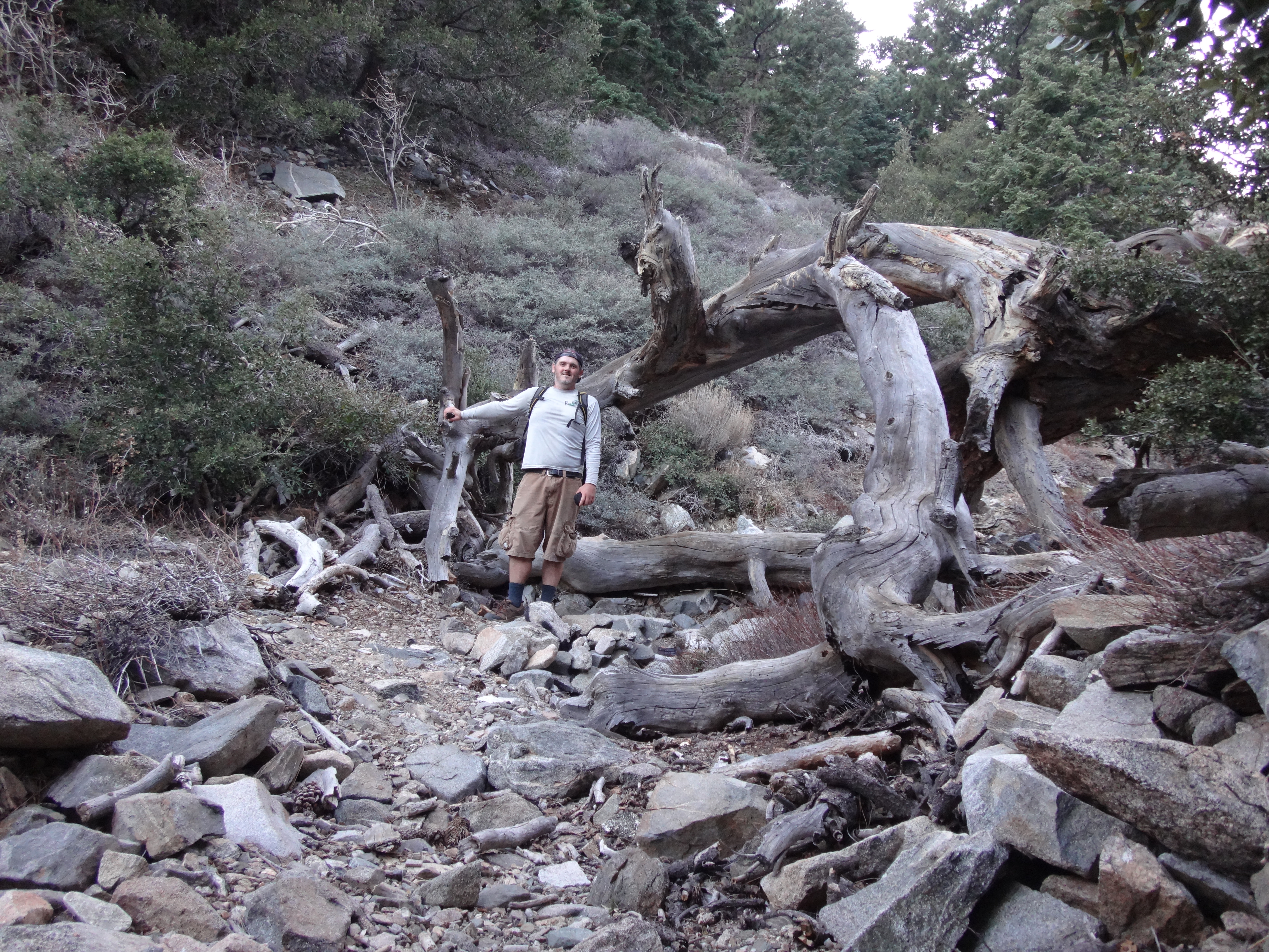
Deadfall on the South Fork Trail
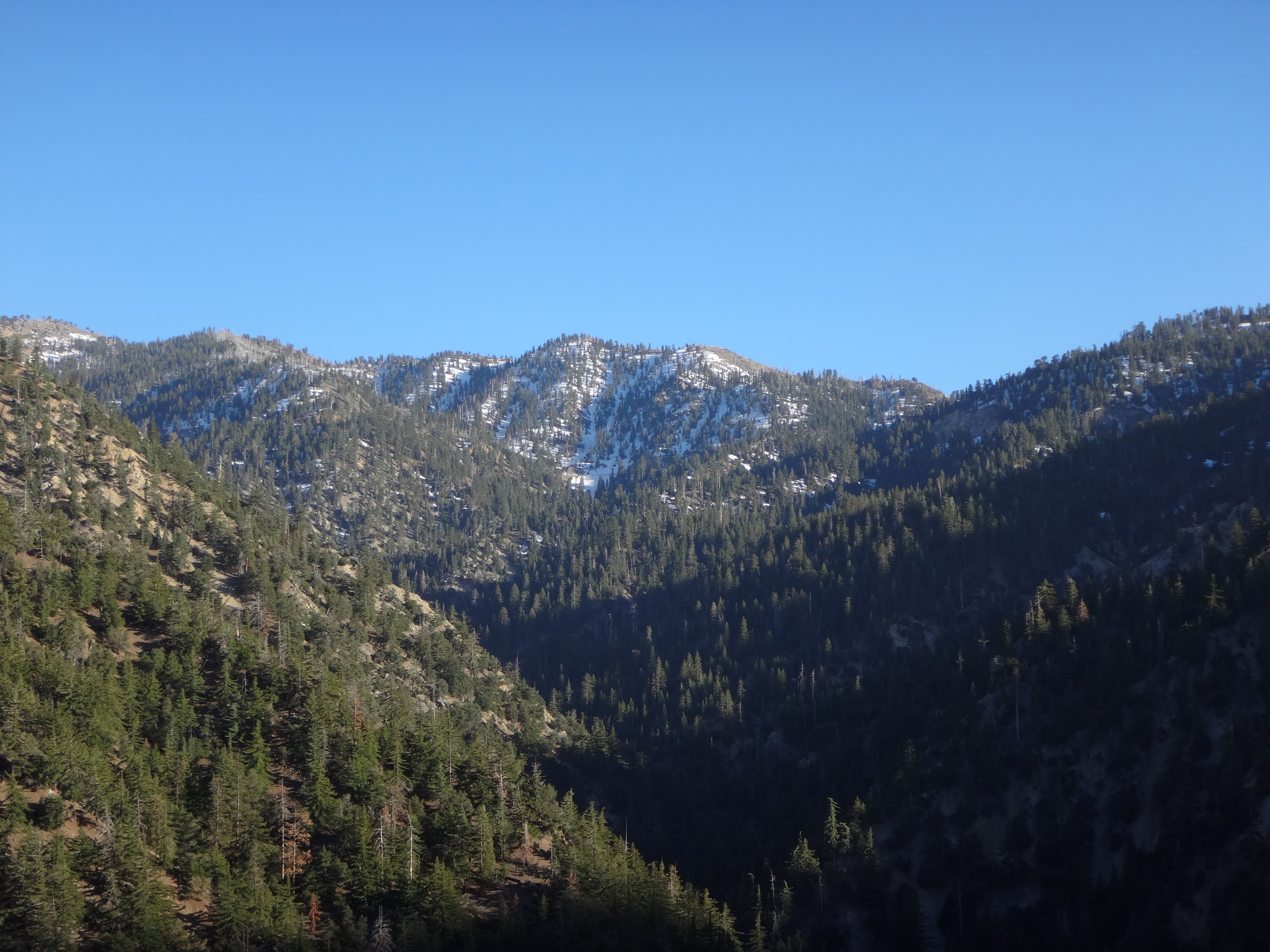
Looking back at the Crest.
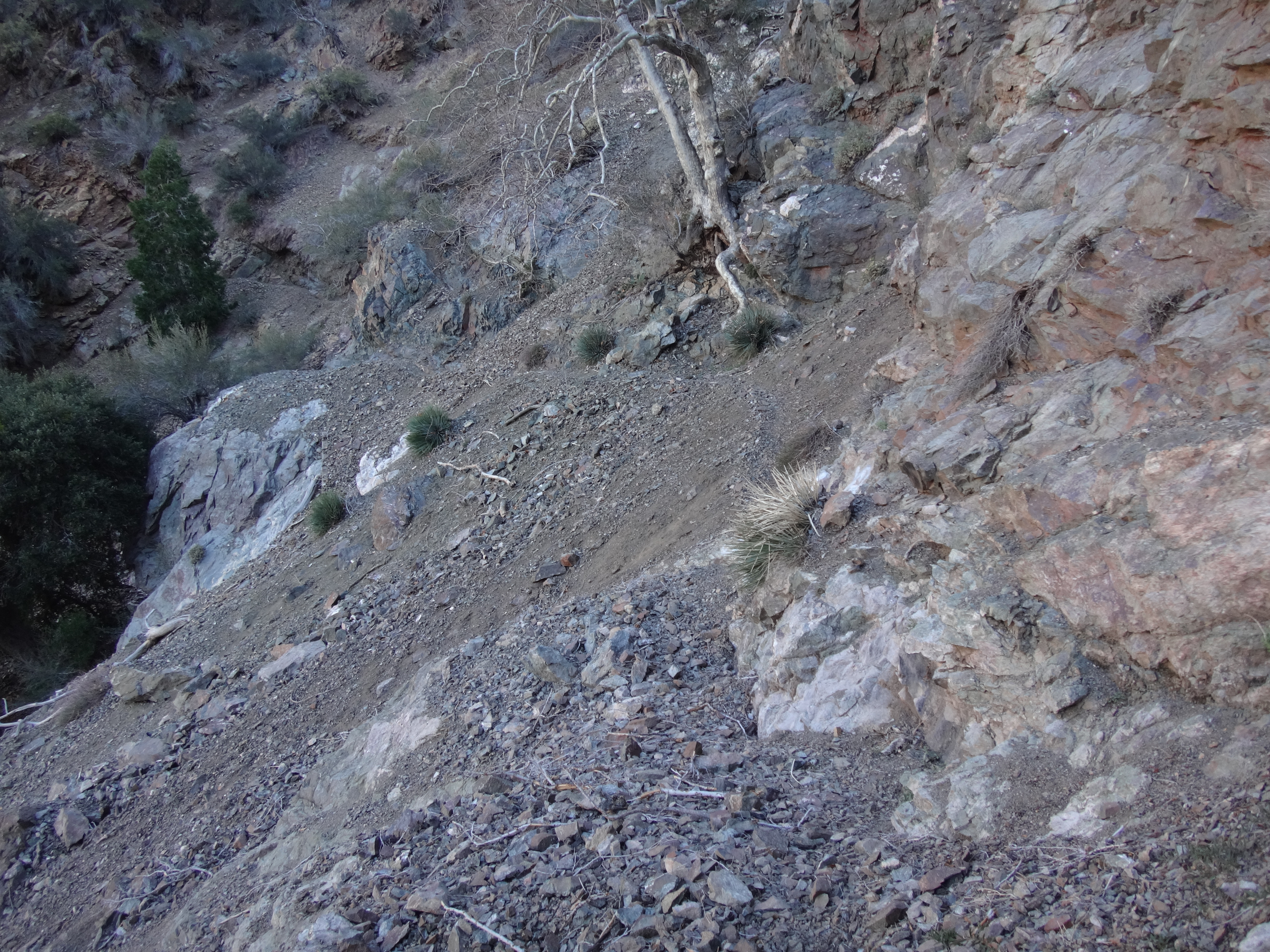
Landslides covering the trail. Narrow use paths have been stomped into the debris.
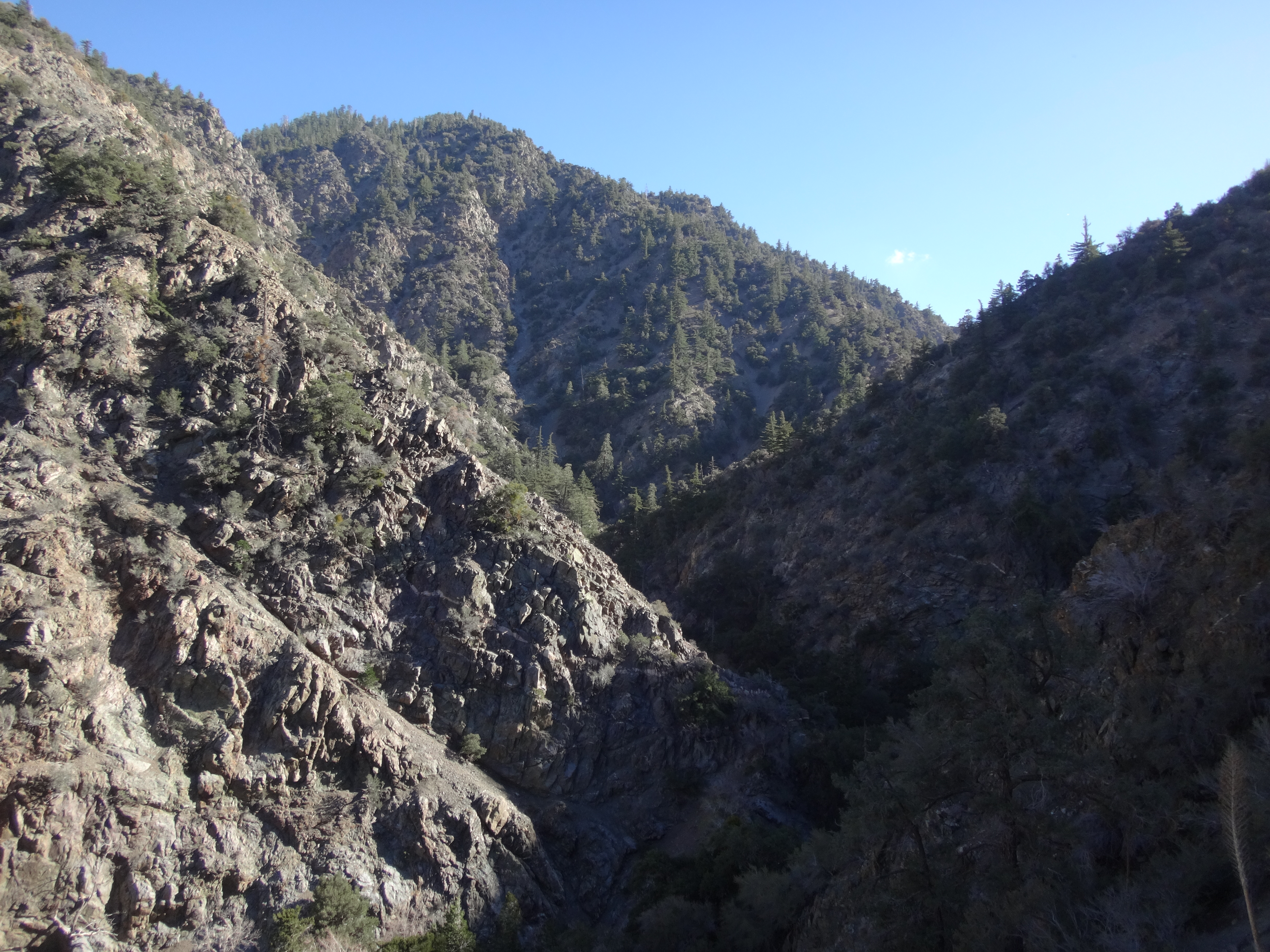
The beautiful narrow part of the South Fork of Big Rock Creek.
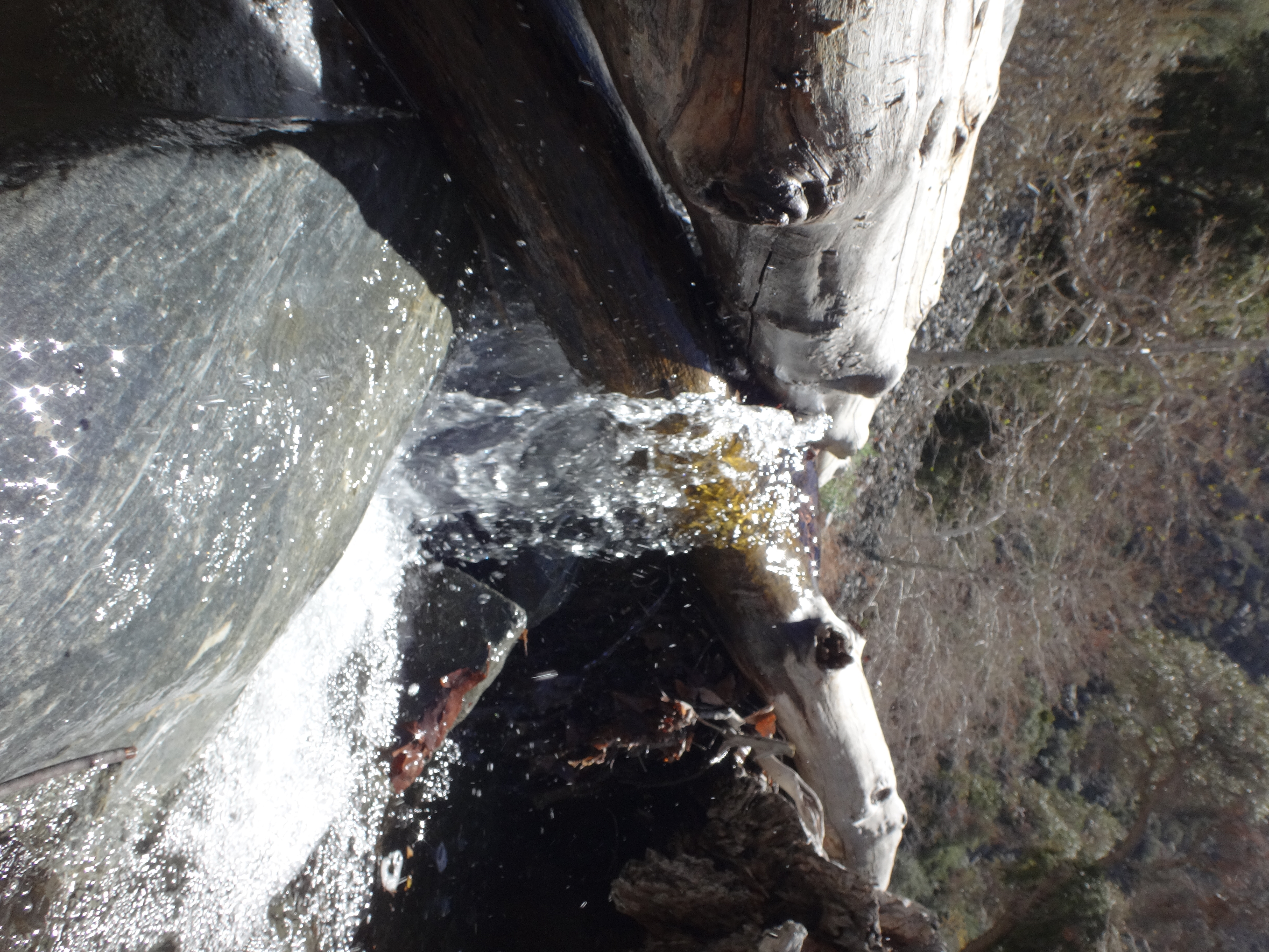
Stream crossing in the South Fork.
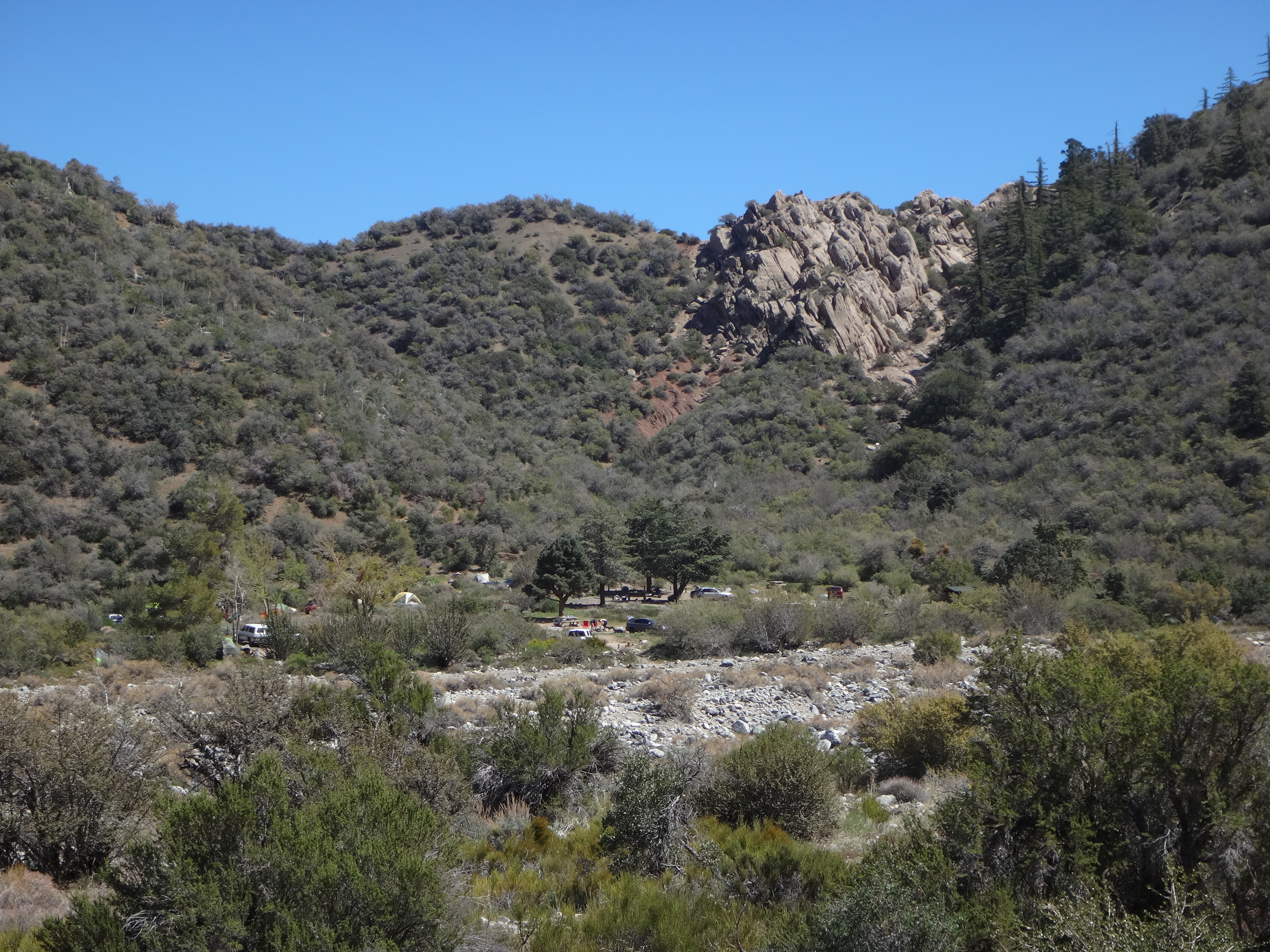
On the High Desert Trail, looking back at South Fork Camp.
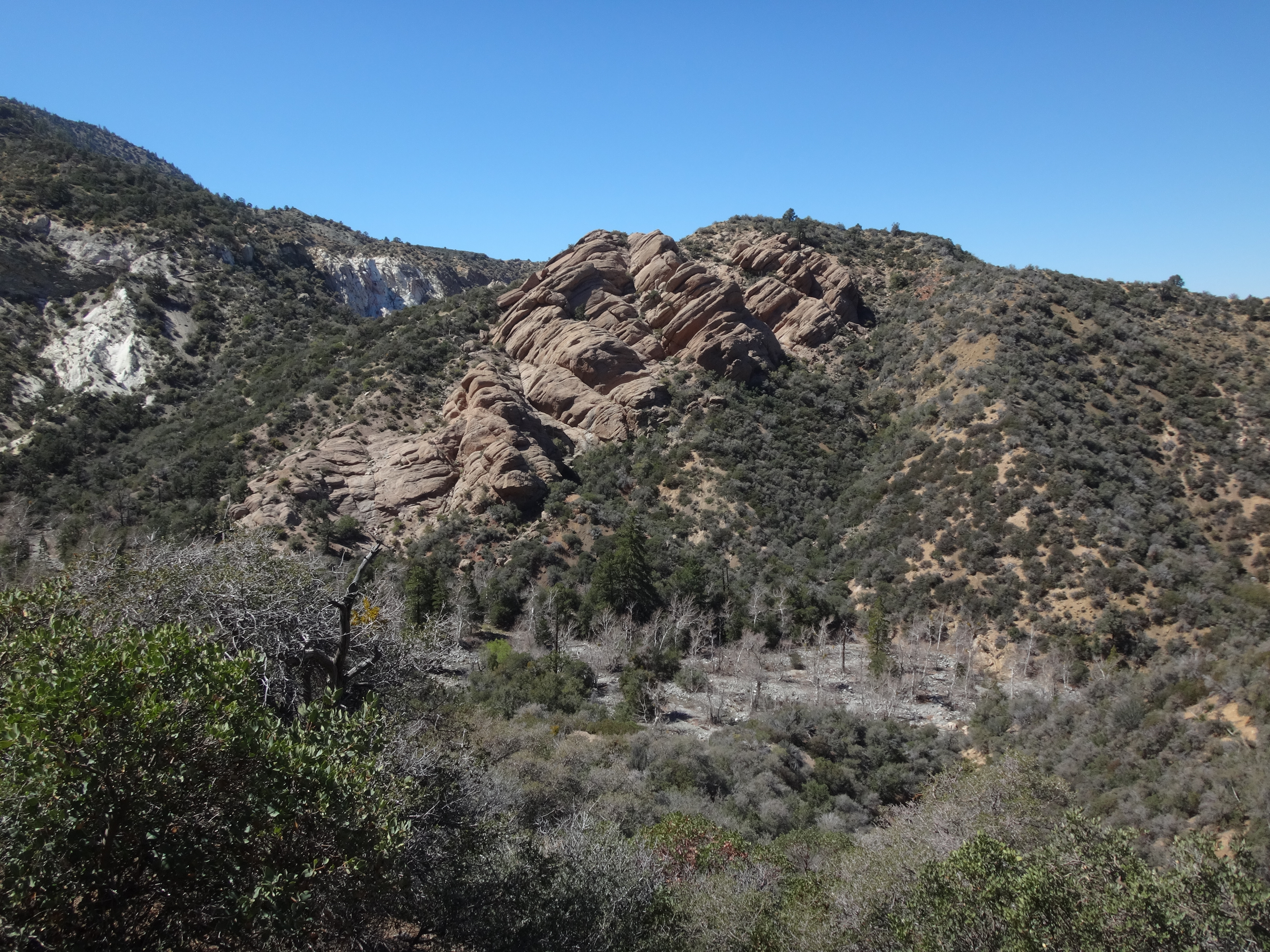
Dropping into Holcomb Canyon.
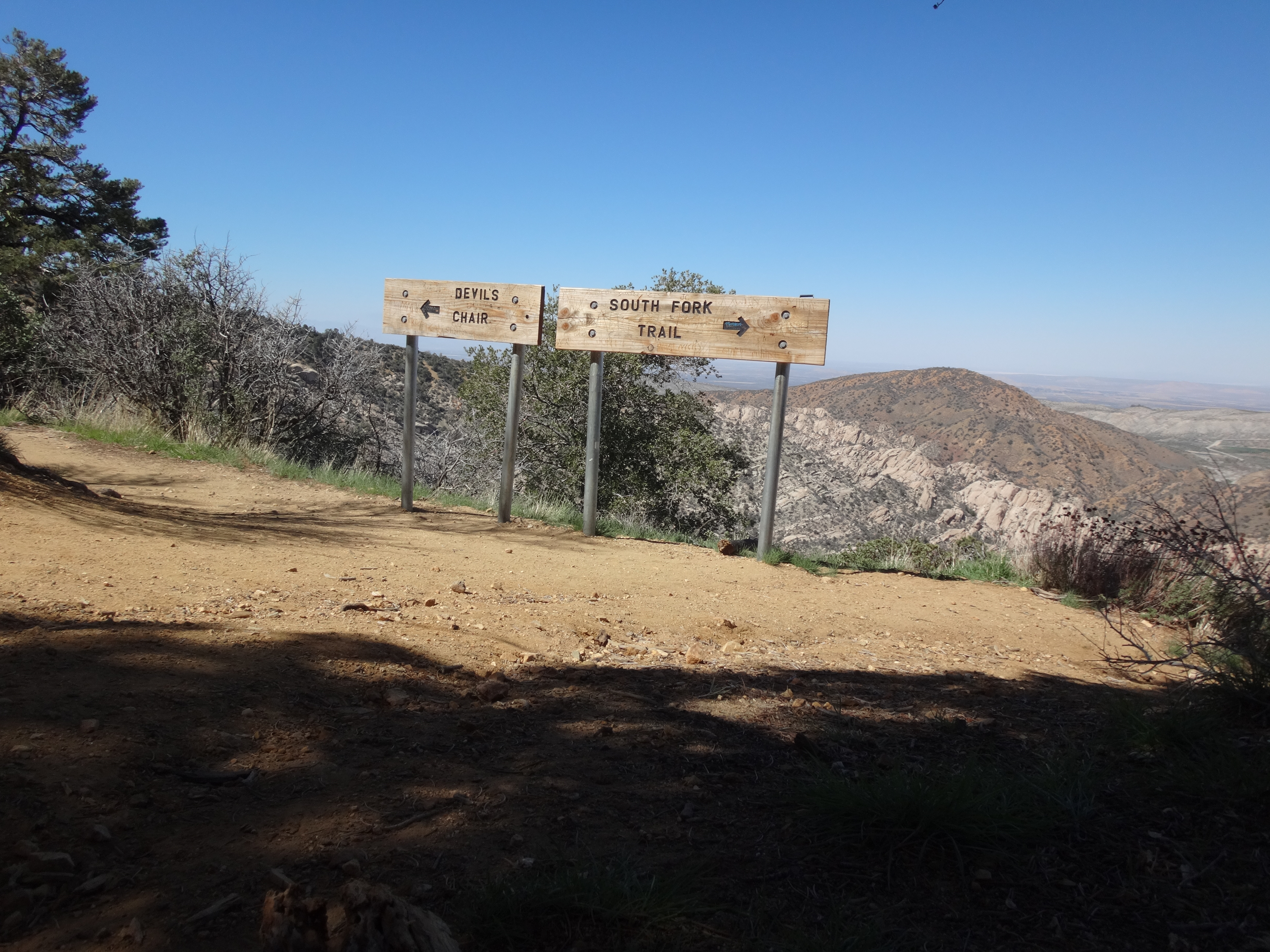
Signs at the Devil's Chair turnoff.
Panorama of the Devil's Chair view.
A Bighorn lounging in the sun below Devil's Chair.
View of Devil's Punchbowl from the Chair.


