

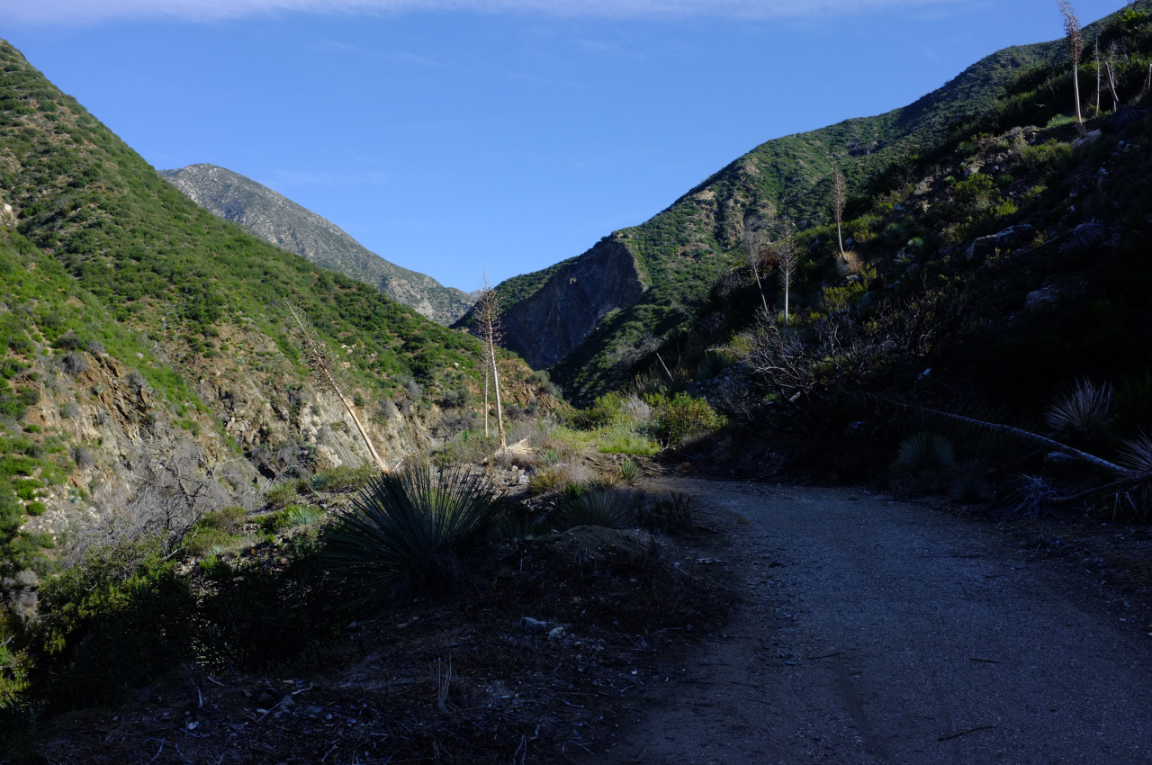
Here one can scramble down to the creek, one can continue on the old roadbed (a very brushy path now), or one can notice another road cut above, and scramble up to that. This cut is visible in the previous photo rounding a corner before a cliffy section of rock on the right.
Of course the upper road was my choice. Exactly as one would expect, this is brushy, washed out in places, and ends abruptly at the cliff.
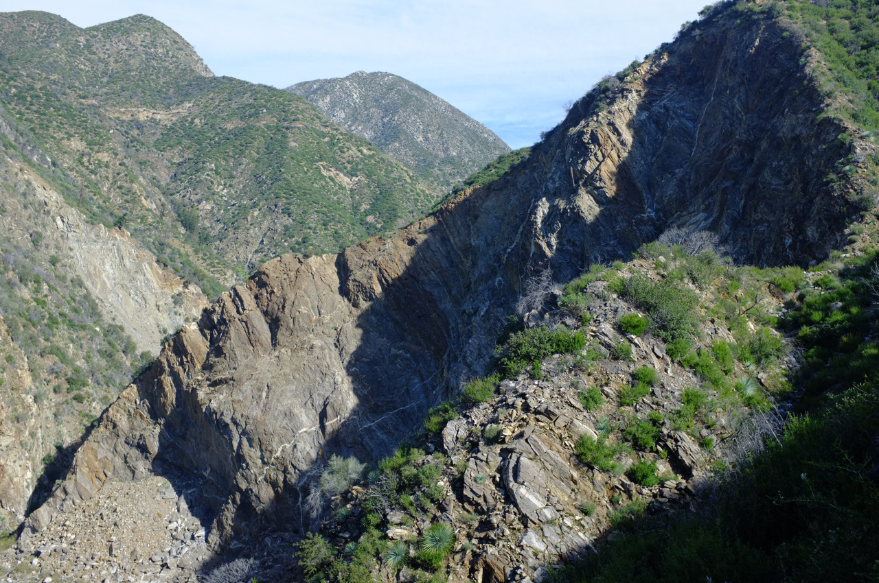
The terrain is very steep in that area, so I had to backtrack almost all the way to the maintained road. I was able to drop down into the creek eventually:
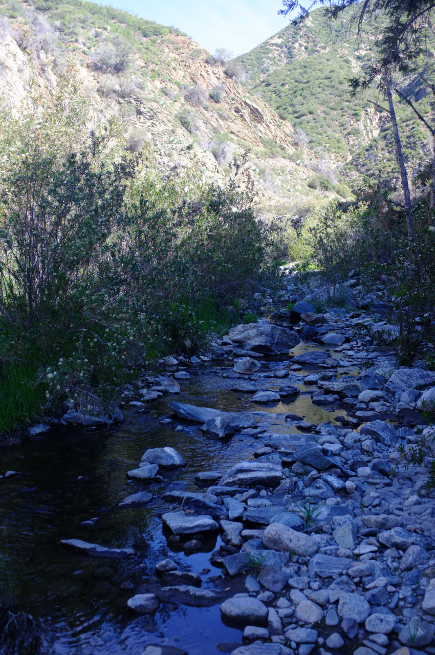
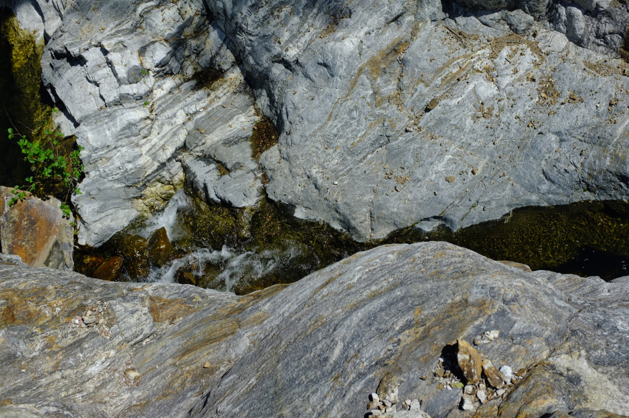
This was a pleasant boulder hop for a bit in an open canyon. After maybe 3/4 of a mile the canyon closes up, and the narrows begin:
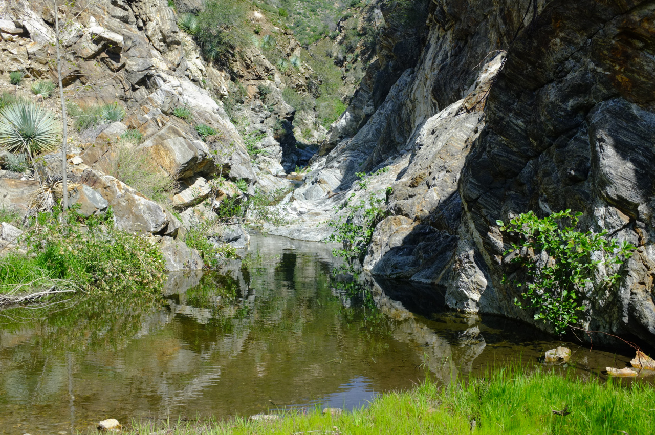
This is pretty, but impassable! The pool gets very deep very quickly. On the right, the walls are initially sheer. One can scramble up the left wall for a bit, but then you end up on a cliff above the deep water:
So the options are:
1. Wade/swim around the bend on the right until it flattens out. It looked like getting in knee/waist high at least would be required.
2. Use a rope (that I didn't have) to rappel down the left side.
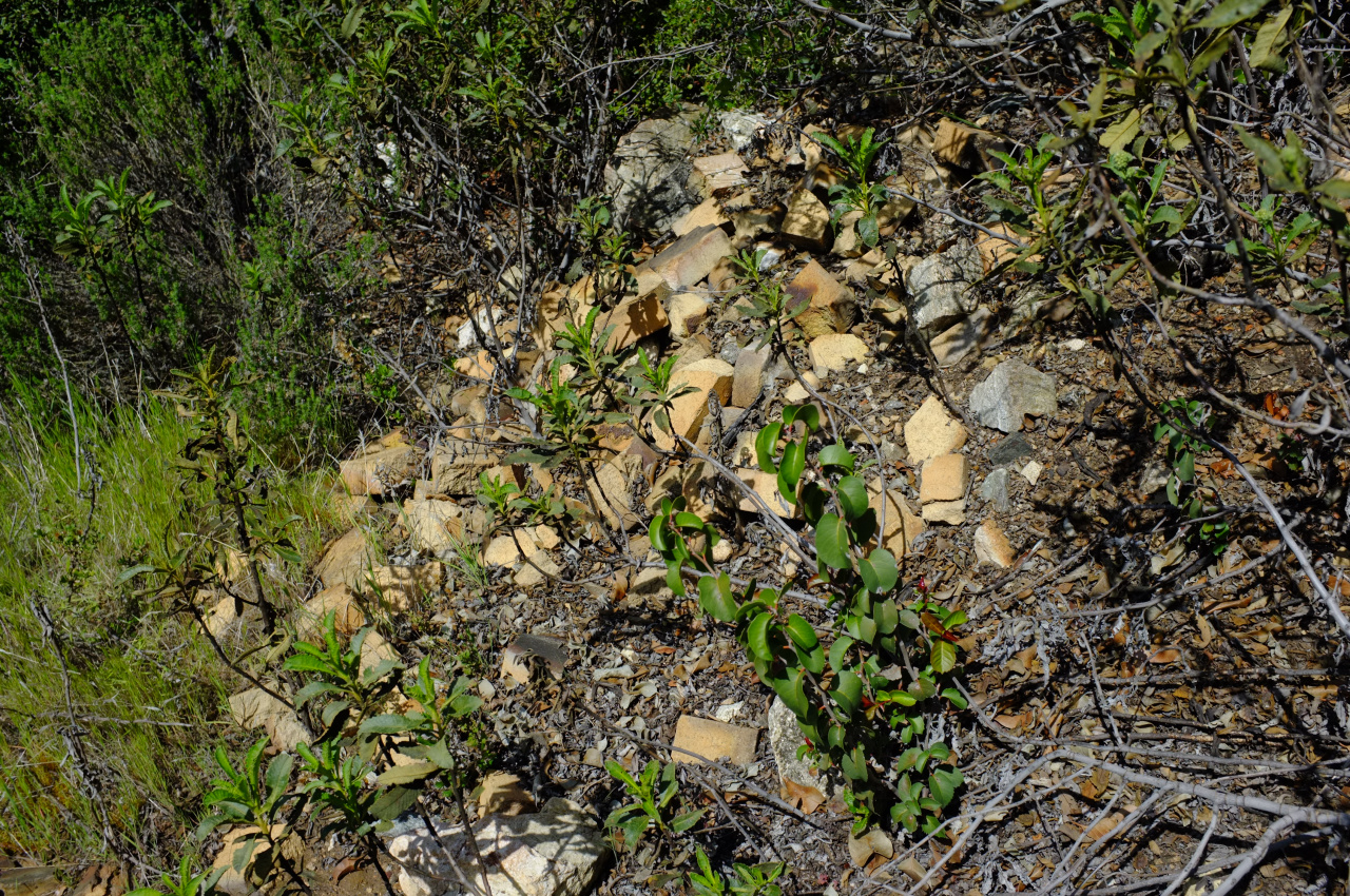
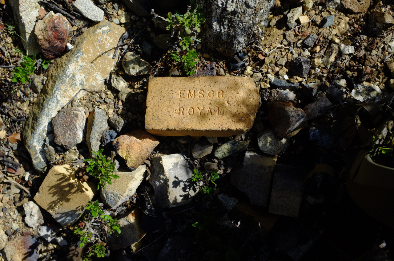
I was feeling lethargic even before this, so I just turned back. On the return, I found some bricks in the brush:
And ruins of some sort:
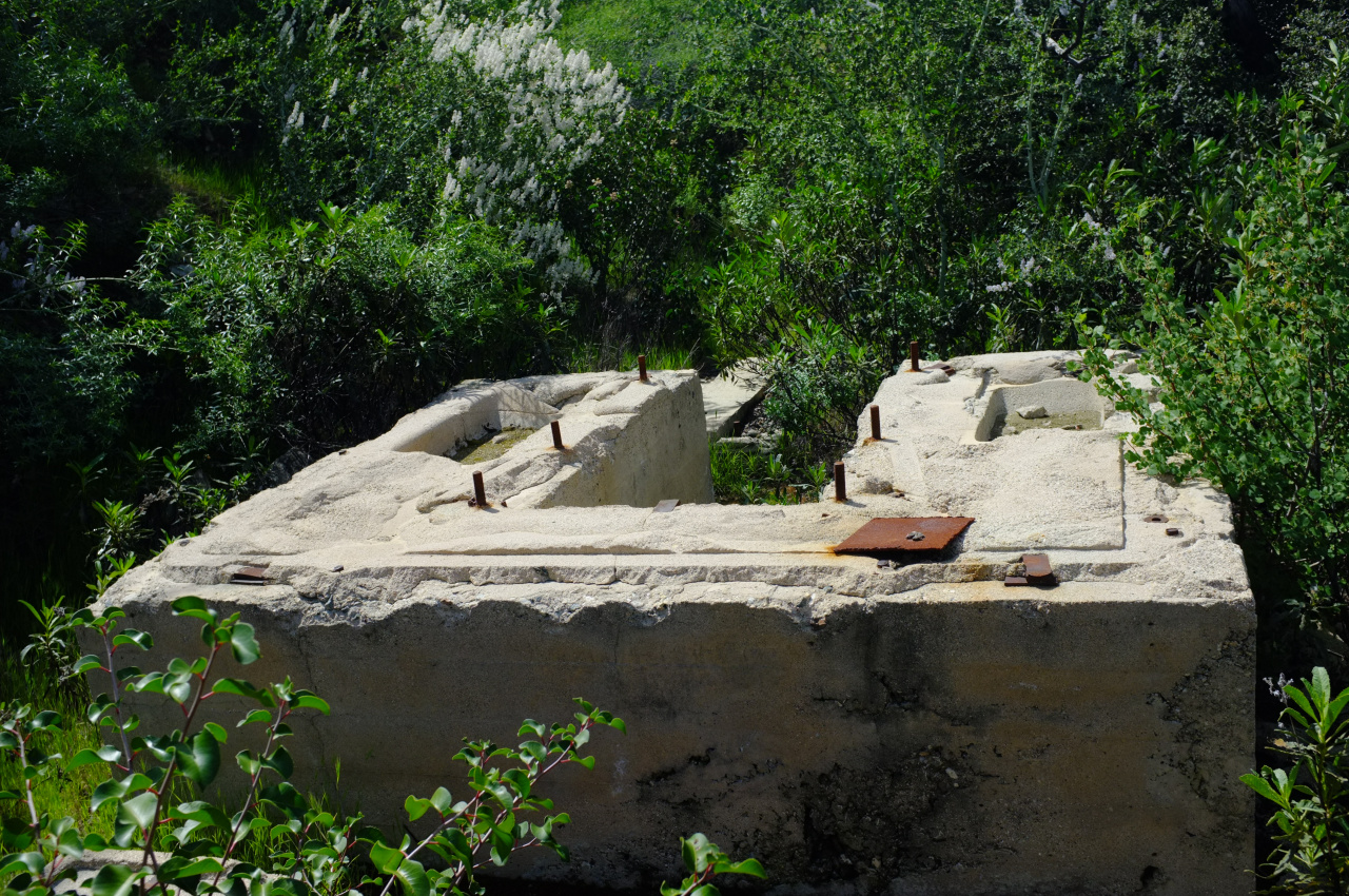
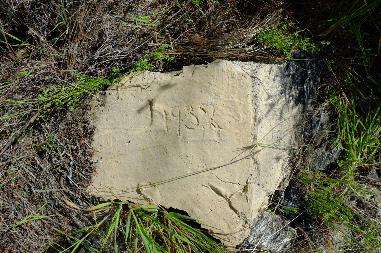
Whatever it is, it has been there for a while.
When I got home, I looked at Brennen's and Schad's write-ups again. They actually both mention this obstacle, and both are happy that a strategically-placed log made the crossing possible. I'm going to come back when water levels are lower; or maybe I'll bring my own log.

