

I started on Williams Canyon Road, then took a private road to Silverado Truck Trail (USFS labels it Silverado Road). There are No Tresspassing signs, but I ran into the property owner on the way up. He stopped in his truck for a brief visit and had no problems with hikers. The road started out wide, got increasingly overgrown as I went, and eventually reduced to a single track. About a mile from the start, I found a sign indicating the start of Cleveland National Forest land. The trail climbed steadily cutting north and south between peaks on the ridge. The single track narrowed to the point that contact with the brush was unavoidable. It was still easy to follow and the soft plants didn't slow me down. But, I soon noticed some ticks on my pants. I brushed them off and went on, only to pick up several more. I became vigilant and when the day was over, I had a new personal best in collecting ticks: 21.
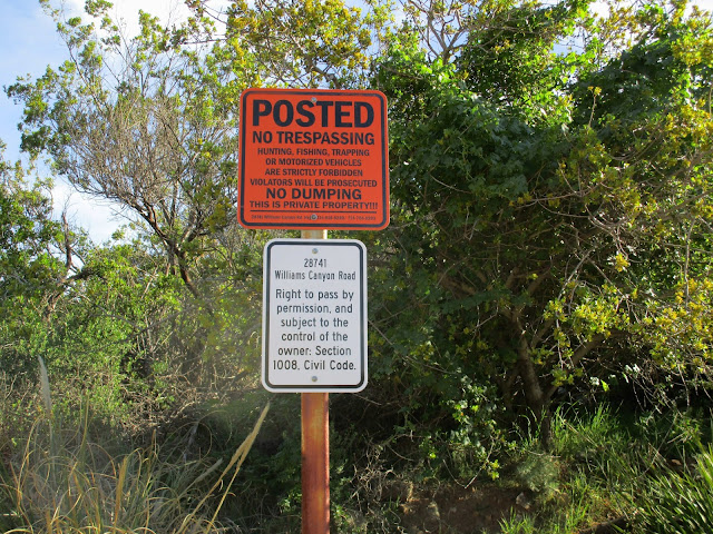
Warning sign, not a problem for hikers at this time
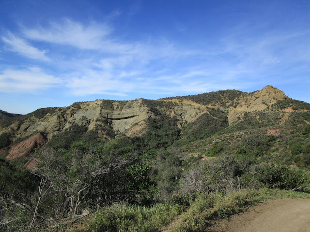
Interesting geology near the start
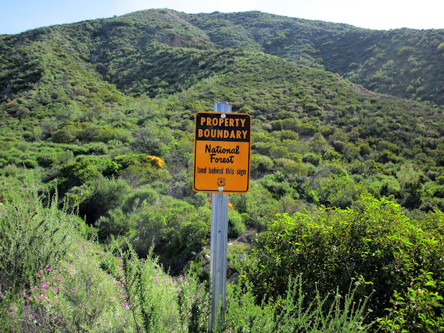
Cleveland National Forest boundary, about a mile from the start
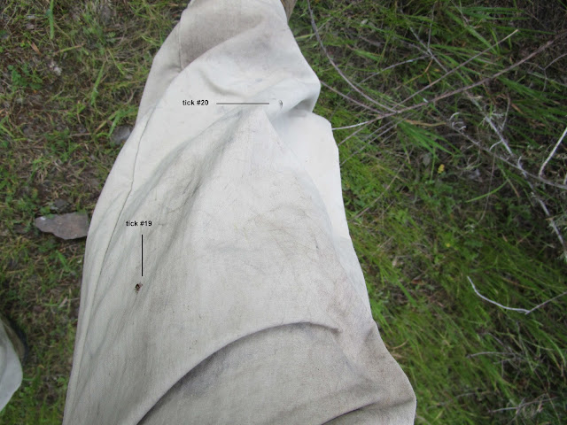
Tick #19 and #20. I found #21 in my left boot before the drive home.

Looking up Silverado Canyon
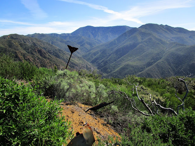
Looking up Harding Canyon past a random marker
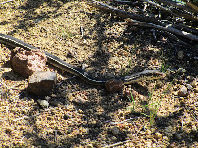
Western patch nosed basking on the trail
When I reached the base of Hard-Silver, I looked at the ridge line but didn't see any hint of a use trail. I continued on the trail to the north and wasted time and energy thrashing around in the brush to find the way up. Then I went back to the ridge and found a mostly hidden use trail. It had several obstacles, including some trees that needed to be crawled under and some that needed to be climbed over. There was a false summit, then some more light bushwhacking to get to the unadorned pile of rocks at the top. Views from the high point between the canyons were pretty sweet. It looks like there is a passable trail that comes up Halfway Canyon from Silverado Canyon. It would be a much shorter (and steeper) trip than starting at Williams Canyon Road.
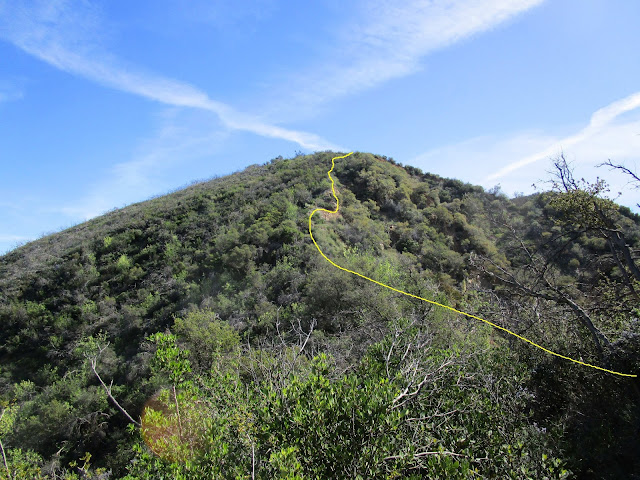
Veiled use trail up to the false summit
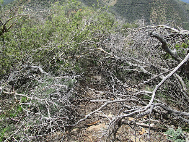
One of several obstacles on the use trail
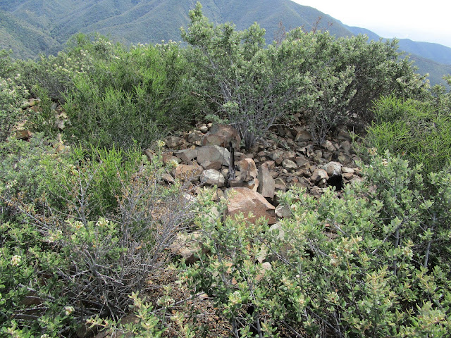
Summit
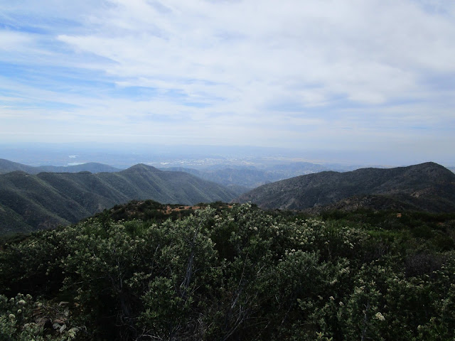
Looking south down Harding Canyon
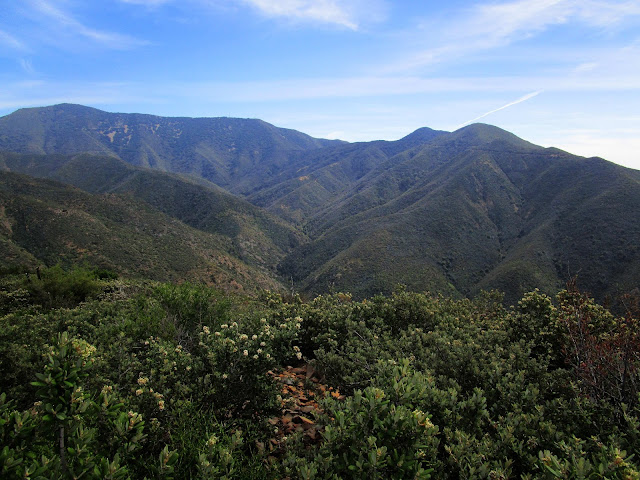
Looking north to Pleasants Peak (left), Bedford Peak (right)

