East Fork Big Santa Anita Creek

TRs for the San Gabriel Mountains.
Post Reply
User avatar
dima
Posts: 1349
Joined: Wed Feb 12, 2014 1:35 am

Post by dima »

The East Fork of Big Santa Anita creek comes up in this forum every once in a while. The main points appear to be:

1. Adams Falls are nice. Can be reached by walking in the riverbed
2. A long time ago there was a trail that went around the falls, but it's long gone
3. Pot may or may not be grown above the falls

This was on my do-at-some-point list, that is until I saw somebody call out this route on Openstreetmap: http://www.openstreetmap.org/way/366565409

While it seemed most likely that this person simply added the historical (and no-longer-there) trail, I had to go see for myself.

The lower canyon of the east fork is nice, and there's a pleasant amount of water in the river:

Image

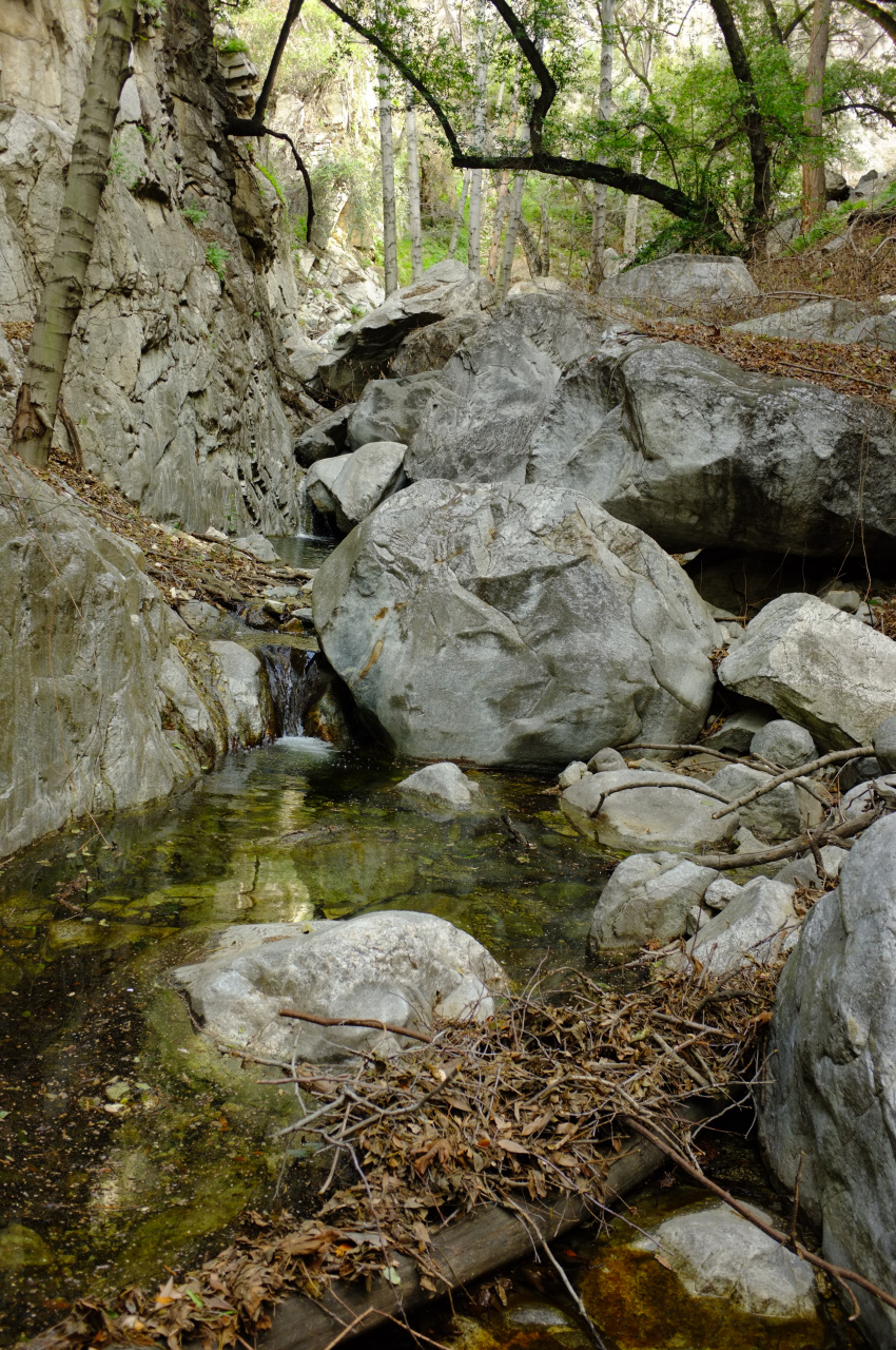
Faily quickly, a small waterfall with a pool appears:

Image

This can be easily bypassed on the right. After much more boulder-hopping, Adams Falls come into view:

Image

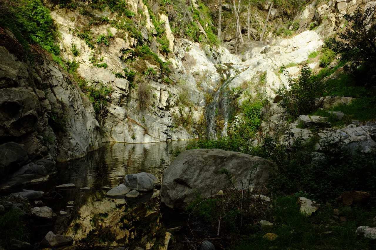
These are nice! And big! The main drop appears right after a bend in the river, so getting a clear photo is tricky. This waterfall is immediately upstream of a confluence, and the other branch has a (less nice and unpictured) waterfall in it also.

Even though this is a much larger waterfall than the first, I found an easy bypass here as well. As you back away from the drop, look at the wall on the right. At the drop, it's solid rock. As you back up, there's more and more dirt at the base. Back up far enough, and the rock goes away, and you can climb the soft all-dirt wall on the right. It's steep, but faily easy. There's even a vague footpath.

Above the waterfall, I was rewarded with this:

Image

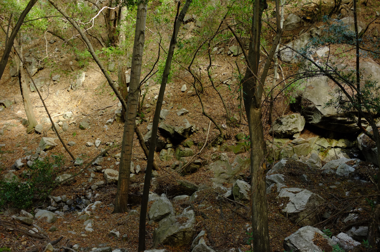
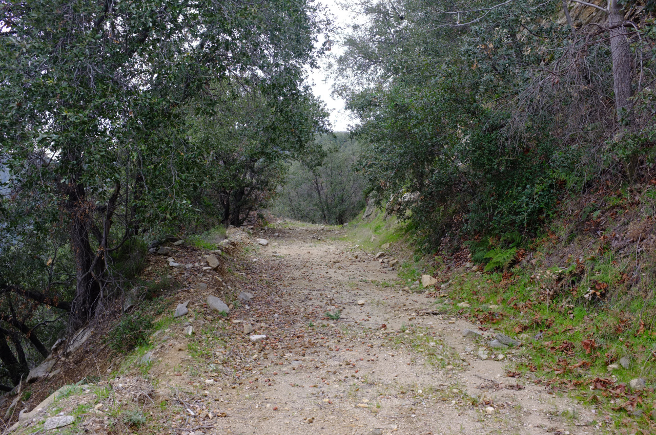
The canyon opens up here, and travel is relatively easy:

Image

To be clear, there was no trail anywhere at all the entire time, so that OSM route is clearly historical. Another historical option appears on USFS and some USGS maps:

http://caltopo.com/map.html#ll=34.20801 ... 9&z=16&b=f

I saw the gully coming in from the right, and decided to take it. The first half looks like this:

Image

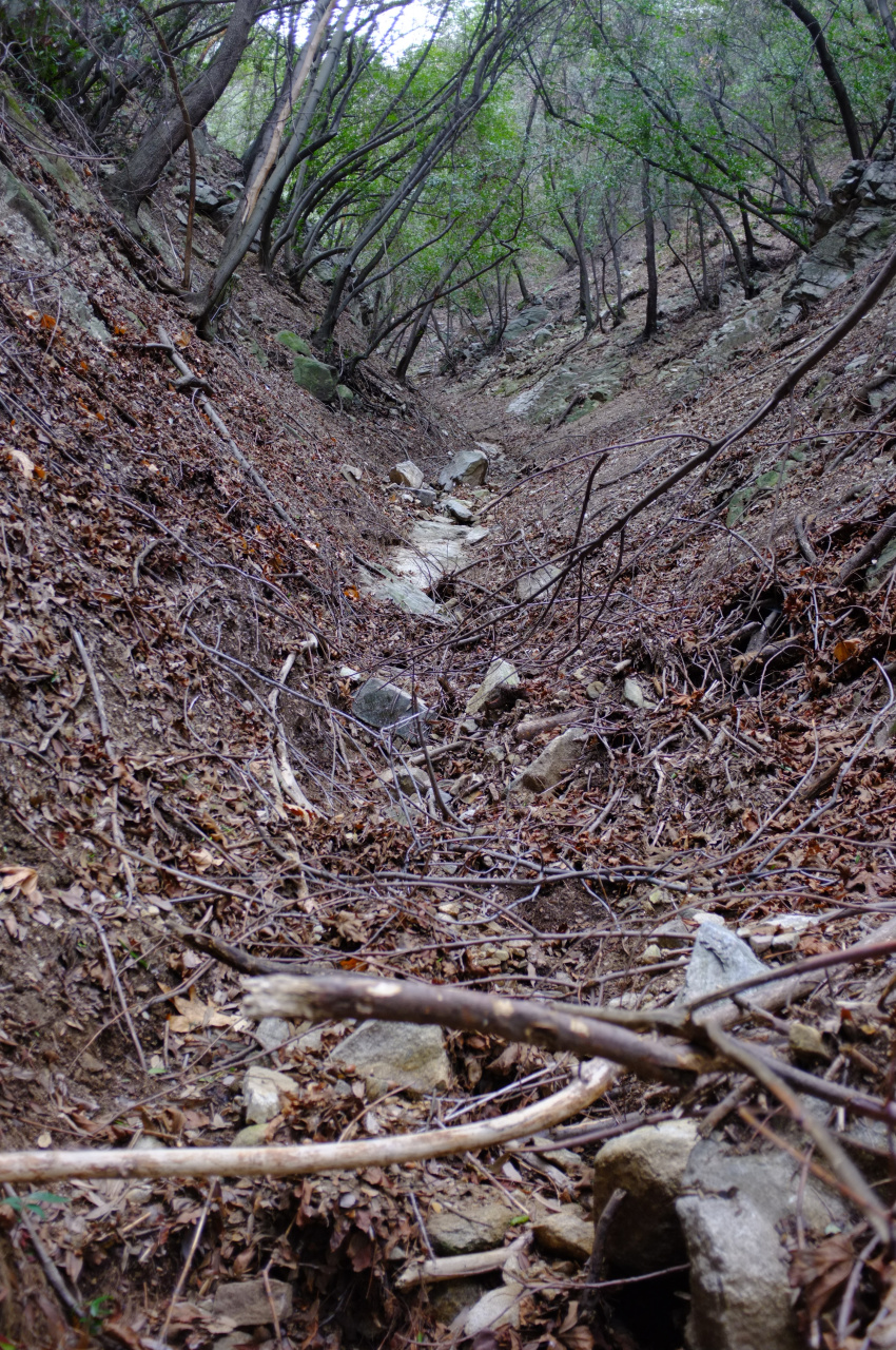
There's no water, and the growth is manageable. As expected, this grew much steeper as I climbed up, and the gully became less defined. I also came up on some old black tubing, but I don't think that particular operation has been active for a while. After much climbing, I popped up on Upper Clamshell road:

Image

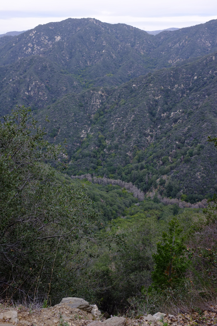
And here the canyon bottom was visible, far below:

Image


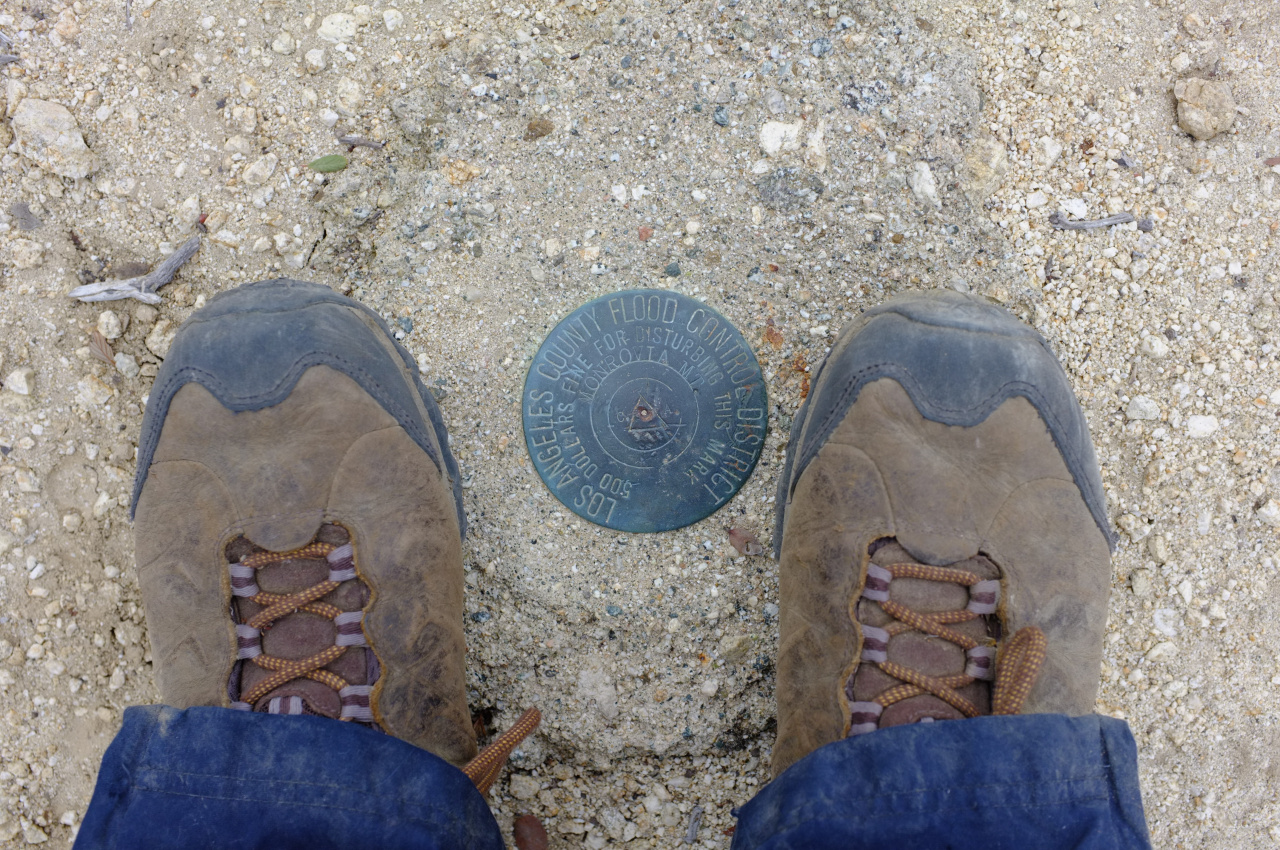
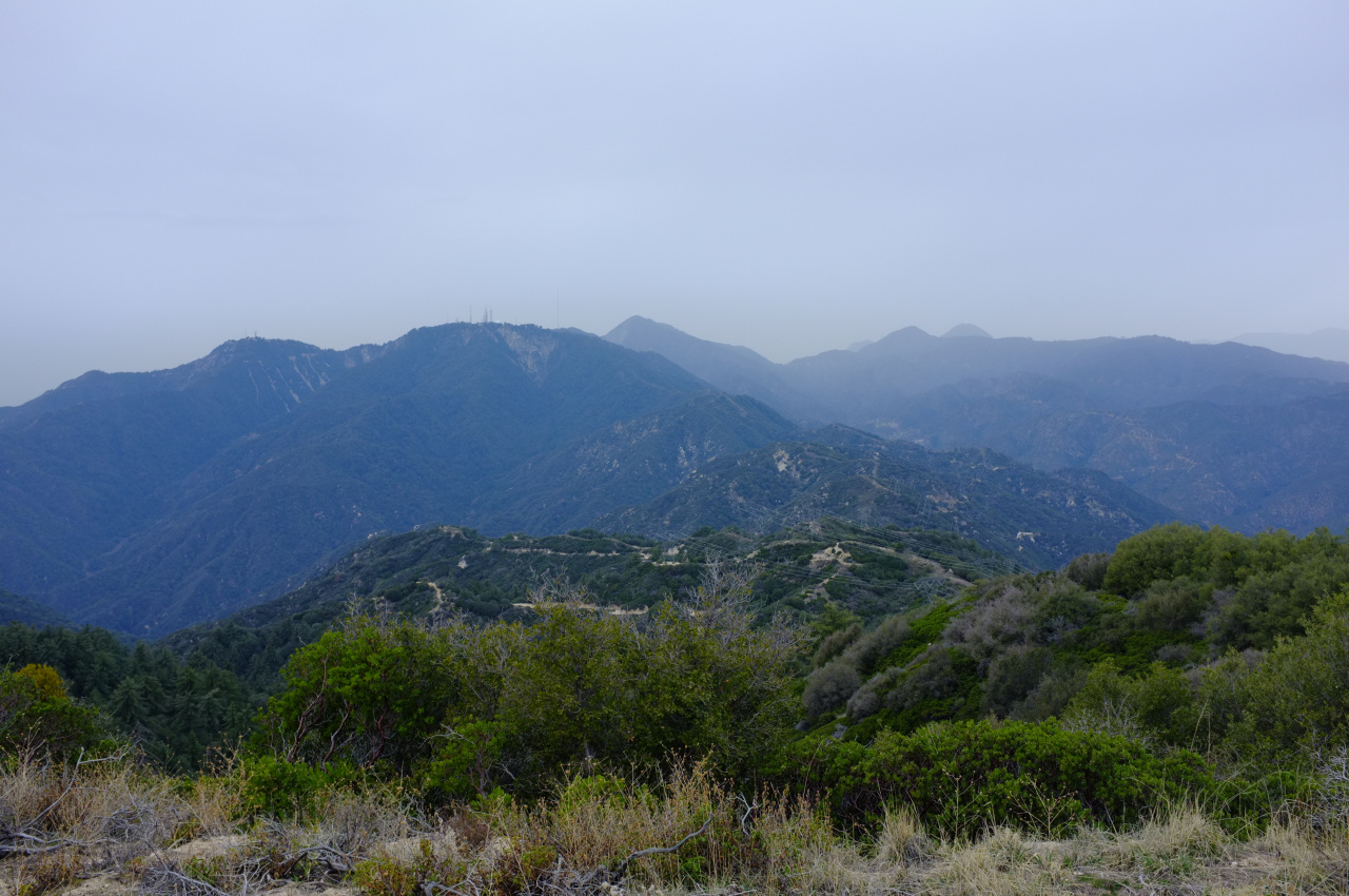
The only other agenda of the day was to check out Spring Camp, for a potential future camping trip. The firebreak up to Monrovia Peak was on the way, and I just couldn't say no. Soon I was on top of Rankin Peak (note Monrovia in the background):

Image

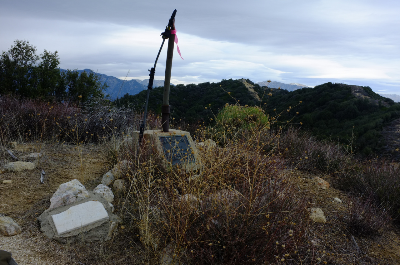
And then, after some up/down, Monrovia Peak itself:

Image

Looks like it's going to rain...:

Image

I dropped down the firebreak on the North side of Monrovia:

Image

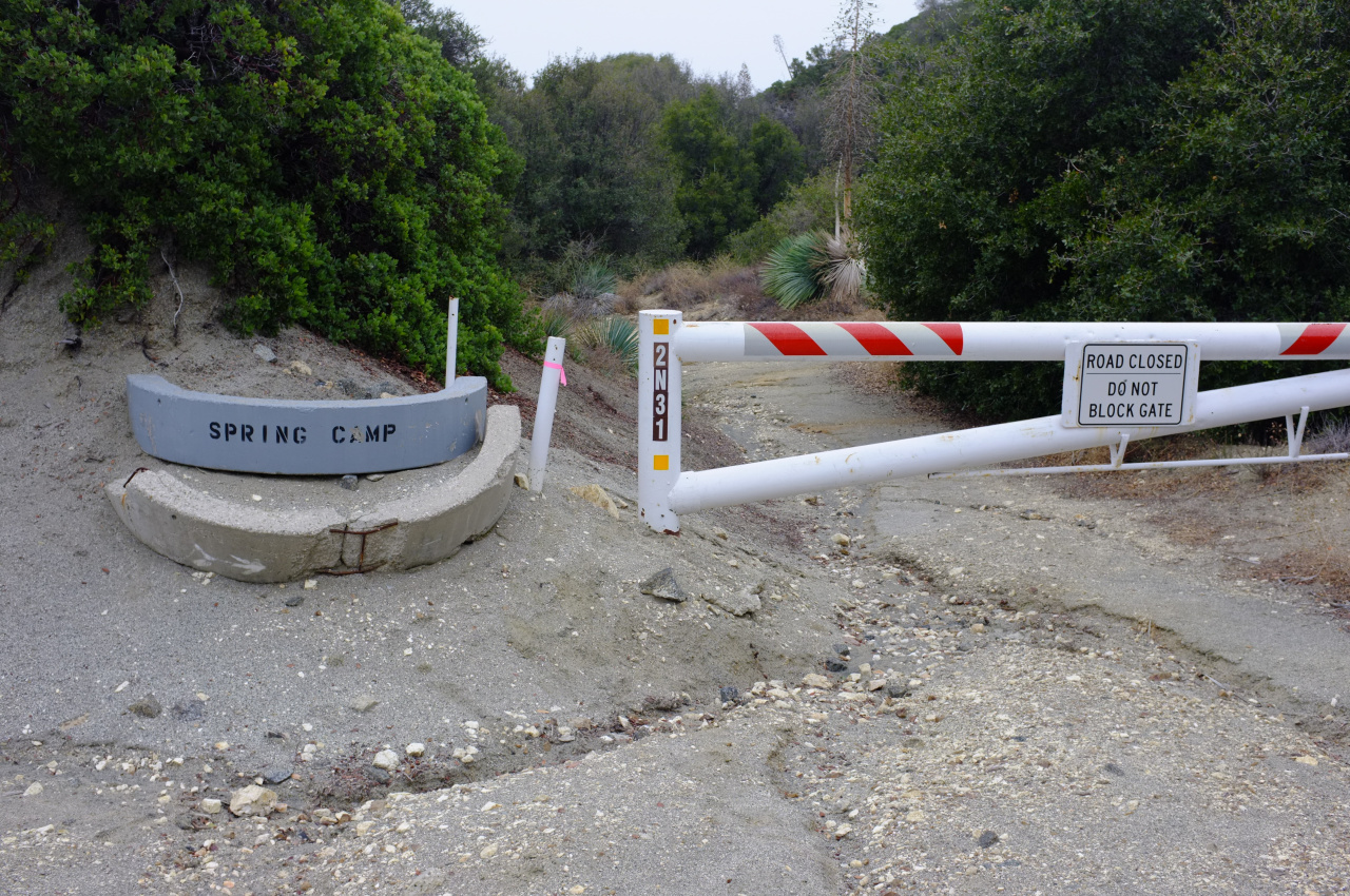
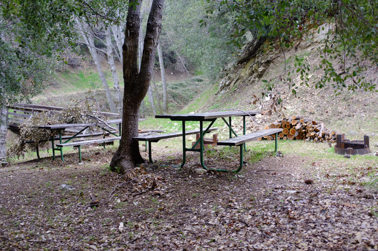
And soon I was on the powerline maintenance road. Then it DID start to rain. This was a major improvement from the last time I was on Monrovia Peak; then it started to snow when I was on top, and a thick fog rolled in to top it off. I got to Spring Camp:

Image

Image

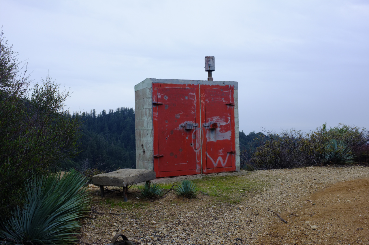
The only other item of note was this odd concrete shed just off the road:

Image

Past that, it was a long and wet slog back to Newcomb Pass and Chantry Flat.

Wildlife census:

2 deer
7 (!) California Newts (I think)
2 ravens eating something that used to be a bird
1 beautiful ex-skunk
0 pot growers
Very little poison oak or poodle dog bush
Too many flying gnats and non-flying ants
User avatar
SGBob
Posts: 101
Joined: Wed Jan 07, 2015 12:47 pm

Post by SGBob »

Thanks for the excellent trip report. The last time I tried that hike it was about 110°F and I didn't last long before giving up.

I don't know if it happens every winter, but one winter back in the 1990's I was camping at Spring Camp and it appeared to be a wintering spot for ladybugs. There were millions of them covering every surface two and three thick.
User avatar
tekewin
Posts: 1195
Joined: Thu Apr 11, 2013 5:07 pm

Post by tekewin »

Beautiful pics, Dima. Nice to know it is not too clogged in there.
User avatar
Mike P
Posts: 1005
Joined: Tue Oct 02, 2007 10:48 pm

Post by Mike P »

Glad the newts are up and about. Mating season is coming up now.
User avatar
mattmaxon
Posts: 1137
Joined: Mon Mar 24, 2008 12:48 pm

Post by mattmaxon »

Mountain Beaver?

Image
User avatar
dima
Posts: 1349
Joined: Wed Feb 12, 2014 1:35 am

Post by dima »

mattmaxon wrote: Mountain Beaver?
Joking aside, any ideas about that? What could cause it?
User avatar
mattmaxon
Posts: 1137
Joined: Mon Mar 24, 2008 12:48 pm

Post by mattmaxon »

Without a real close look I can only guess, never seen anything like it before
User avatar
mattmaxon
Posts: 1137
Joined: Mon Mar 24, 2008 12:48 pm

Post by mattmaxon »

Woodpeckers Damm things can be a serious nuisance do lots of damage to buildings
User avatar
dima
Posts: 1349
Joined: Wed Feb 12, 2014 1:35 am

Post by dima »

mattmaxon wrote: Without a real close look I can only guess, never seen anything like it before
Full-size photo lives here:

https://gal.secretsauce.net/travels/SanG ... CF9963.jpg

I'm guessing it's not caused by an animal, but not certain of the exact mechanism.
User avatar
walker
Posts: 248
Joined: Mon Apr 08, 2013 11:14 pm

Post by walker »

Great trip report! Congratulations on completing that loop and thanks for sharing the info.
To be clear, there was no trail anywhere at all the entire time, so that OSM route is clearly historical.
If you're curious about the old trail, some segments of it do exist high on the canyon wall before you reach Adams Falls. It's a section where they blasted through the rock above a series of cliffs. For about a quarter of a mile it's totally usable and gets you around a bend in the canyon. However, then you hit a steep washout and it might just get you stranded so I wouldn't count on it as a route to navigate the canyon. But if you like to do a little time-traveling by finding remains of some of the old byways, it's a pretty cool spot to visit.

I think Brennan described a loop starting near Hermit Falls and following a ridge to Clamshell Road then descending the East Fork. I recently explored some of the Brennan ridge, but the use trail that exists in places is getting swallowed up by some pretty thick brush that gets thicker as you go.
User avatar
Sean
Cucamonga
Posts: 3782
Joined: Wed Jul 27, 2011 12:32 pm

Post by Sean »

Thanks for the report. The East Fork looks like more fun than the West.
User avatar
CrazyHermit
Posts: 343
Joined: Mon Sep 07, 2015 1:03 pm

Post by CrazyHermit »

dima wrote:
mattmaxon wrote: Mountain Beaver?
Joking aside, any ideas about that? What could cause it?
I used to see this all the time in Monrovia Canyon.
The bears sharpen their claws on telephone poles and eventually they fall over.
Post Reply