I can finally confirm that Windy Gap is indeed quite windy.
I've now done two hikes in the back country (Waterman/Twin Peaks & this one), and they are easily my favorites in terms of scenery. The freshness of the pine needles and remoteness of the area just add to the pleasantness of hiking. I need to plan more hikes around hiking.
3 hrs in, 1 hr lunch, 3 hrs back.
Baden-Powell via PCT 07/19/2008
-
FIGHT ON
did you stay on the trail the whole way or did you go the last bit before BP along the ridge? I've been on both and like the ridge better.(was recommended by some guy?, can't remember his name though, think it was something like Hiker James? no, Hikin Jim thats it! 
-
Hikin_Jim

- Posts: 4688
- Joined: Thu Sep 27, 2007 9:04 pm
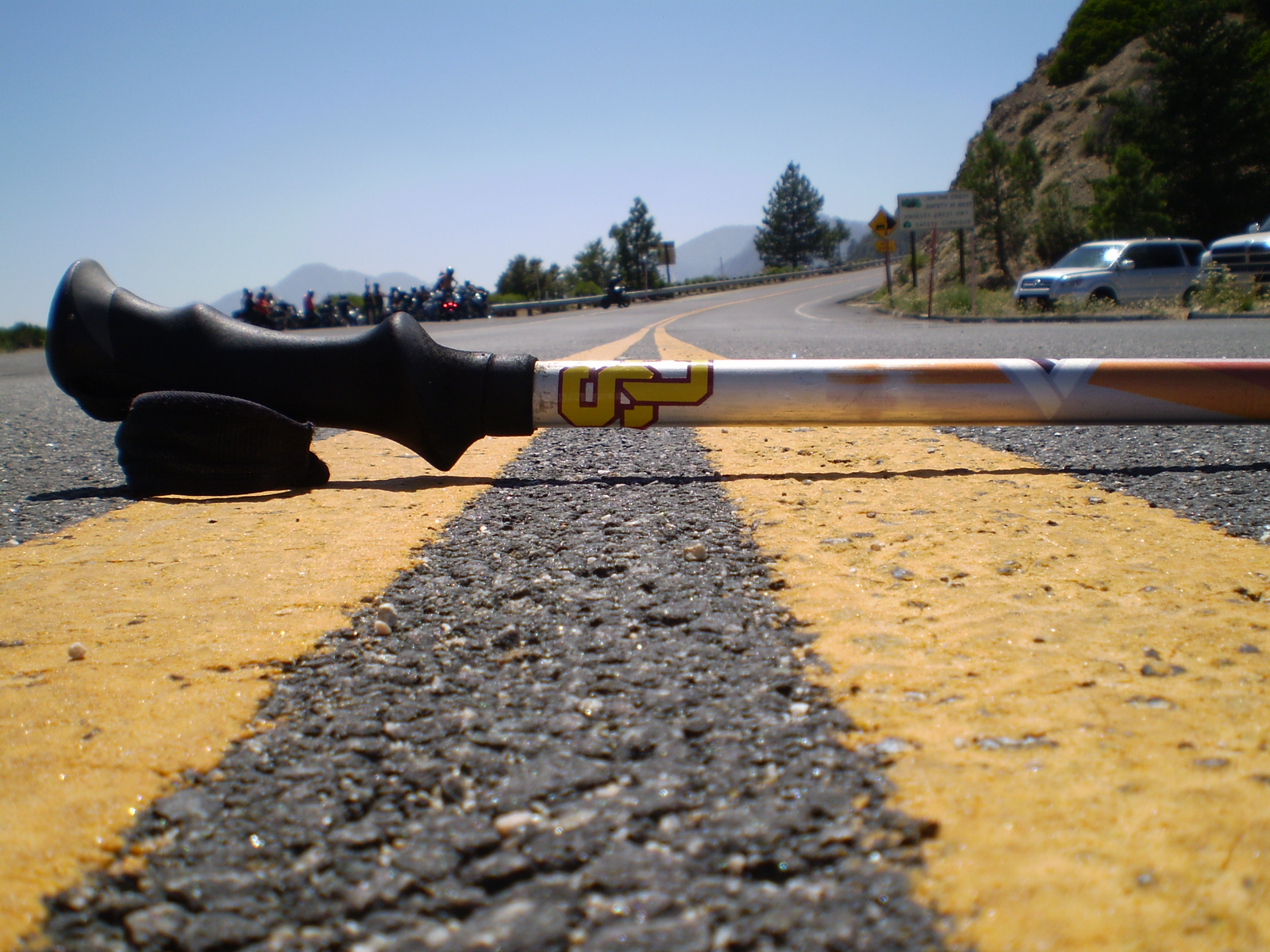
Nice pix in a great area! (although I don't remember that pole dancer on my last time out there...)  Looks like the some of the same faces as in your trip to Cucamonga. That's a nice hiking group you've got if they're willing to go out so regularly and can keep that kind of a pace over varied terrain at altitude.
There's definitely some good stuff out there in the Middle High Country.
The ramble down the ridge to Middle and South Hawkins is worthwhile and can me made into a nice loop centering on Windy Gap.
Winston Peak and Cooper Canyon have a lot of good nooks and crannies. I've been wanting to check out Winston Ridge.
Pleasant View Ridge has a lot of creat country, both on the Mt. Williamson side of Burkhart Saddle as well as west to Thrall et al.
-
JMunaretto
- Posts: 370
- Joined: Thu Feb 07, 2008 11:03 am
I stayed on trail with the 2 or 3 switchbacks past that old tree. I totally forgot about the ridge. That's okay, I made up for it when ascending Throop Peak. I decided to head up when directly south of the peak which gave an extremely steep slope that we quite enjoyed.FIGHT ON wrote:did you stay on the trail the whole way or did you go the last bit before BP along the ridge? I've been on both and like the ridge better.(was recommended by some guy?, can't remember his name though, think it was something like Hiker James? no, Hikin Jim thats it!
Yeah there's always a nice mixture of some of the regulars and some new people. It works out well, as long as the newbies are able to handle the hike. I'm usually getting about 10-20 people on a hike, which is certainly enough to handle. I mean next week I scheduled Bear Canyon to Baldy and I have 14 people signed up already! Of course some are more frequent than others, my french friend goes very frequently, she is an absolute machine. She weighs ~ 105 lbs, 5'6" ! insane. I think she can handle anything I throw at her!Hikin_Jim wrote:Nice pix in a great area! (although I don't remember that pole dancer on my last time out there...)
There's definitely some good stuff out there in the Middle High Country.
The ramble down the ridge to Middle and South Hawkins is worthwhile and can me made into a nice loop centering on Windy Gap.
Winston Peak and Cooper Canyon have a lot of good nooks and crannies. I've been wanting to check out Winston Ridge.
Pleasant View Ridge has a lot of creat country, both on the Mt. Williamson side of Burkhart Saddle as well as west to Thrall et al.
I definitely want to do that Pleasant View Ridge soon, probably in August. There is a hike in Robinson's book that gives ~ 3500 ft gain over good mileage which is in the range of hikes I like to do. I would also like to see the Devil's Chair if possible, but it would seem to make the hike really long to head down the south fork.
-
Hikin_Jim
- Posts: 4688
- Joined: Thu Sep 27, 2007 9:04 pm
lol Well, she'll definitely keep you on your toes -- no slackin'.JMunaretto wrote: Yeah there's always a nice mixture of some of the regulars and some new people. It works out well, as long as the newbies are able to handle the hike. I'm usually getting about 10-20 people on a hike, which is certainly enough to handle. I mean next week I scheduled Bear Canyon to Baldy and I have 14 people signed up already! Of course some are more frequent than others, my french friend goes very frequently, she is an absolute machine. She weighs ~ 105 lbs, 5'6" ! insane. I think she can handle anything I throw at her!
The hike that Robinson suggests from the west Mt. Williamson trailhead up over Williamson, up and over the bump between Williamson and Pallett, and then over Pallet, down to Burkhart saddle, then down to the Rattlesnake Trail and then up the Rattlesnake Trail to Eagle's Roost with a short hop along the highway back to your car is a great one; it's a personal fav of mine. It should be noted that the Rattlesnake Trail is officially closed right now to protect the Yellow Legged Tree Frog (I think I've got the frog species right), although you could simply cut up the trail to Buckhorn and walk the highway from there back to your car to avoid the closure area.JMunaretto wrote:I definitely want to do that Pleasant View Ridge soon, probably in August. There is a hike in Robinson's book that gives ~ 3500 ft gain over good mileage which is in the range of hikes I like to do. I would also like to see the Devil's Chair if possible, but it would seem to make the hike really long to head down the south fork.
Re the Devil's Chair:
http://mapper.acme.com/?ll=34.38665,-11 ... tains%20CA
The Devil's Chair ("D") can be done as a short hike from the S Fork Campground ("B") or from Devil's Punchbowl County Park ("C"). You could also do it as a longer hike from Islip Saddle ("A"), but that's the long way 'round to an area that is pretty easily accessed from either "B" or "C". Now of course if you wanted a "real" hike, one that might give even your French friend a bit of a challenge, you could go from Islip Saddle "A" to South Fork Campground "B" to the Devil's Chair "D" to the Burkhart Trail "F" (note that you would have to turn off the Devil's Chair Trail at point "E") to the spot where the old Burkhart Trail comes in ("G") up to the ridge ("H") to Burkhart Saddle ("I") to Pallett Mtn ("K") to the summit to the east of Pallett ("L") up and over Williamson to the junction with the PCT ("J") back to Islip Saddle ("A"). That would be one heck of a hike, give you a chance to see the Devil's Chair, let you see some rarely visited north country of the San Gabriels, and let you do Robinson's high country ramble. Heck of a lot of miles though. Heck of a lot, 20+? Not sure. I'm pretty sure it'd be doable as an extreme dayhike for someone who is really fit.
Islip might not be the best place to start. Perhaps S Fork CG or Devil's Punchbowl County Park are better. Dunno. An interesting puzzle perhaps to try to figure out how this hike might be done as a day hike.
-
JMunaretto
- Posts: 370
- Joined: Thu Feb 07, 2008 11:03 am
Haha I got up to "L" in your ACME madness! Thanks for the tips. Yeah 20 miles is a little above my preferred distance, but a possibility.
One of the fun things for me is trying to mix & match different trails to get the combination that is "just right."
One of the fun things for me is trying to mix & match different trails to get the combination that is "just right."
-
FIGHT ON
haha I've been on PVR and didn't even know it! On my hike from Cloud Burst Summit to Islip Saddle. I intended to bypass the Williamson Peak with the idea of just staying on the Silver Moccasin Trail but it looked so close that I had to go see what it looked like on the other side. The views of the desert etc. DON'T TELL MY WIFE! But then on the way up to it some hikers were coming down and told me to not believe the high point on the right is the summit. That the summit is to the left and he pointed to to the west peaks. So I kept going until the trail started to go way down after the 8248 point. I never figured out which one was the real summit. The word Mt. Williamson is over the one on the east but the other high points which are way to the west are higher??JMunaretto wrote:Haha I got up to "L" in your ACME madness!
-
Hikin_Jim
- Posts: 4688
- Joined: Thu Sep 27, 2007 9:04 pm
The next point in the loop is "J" which is out of order, but that's the next one, and then you're back at "A," the starting point.JMunaretto wrote:Haha I got up to "L" in your ACME madness!
I measure it at about 20, but it might be 18. I think it's doable, but a long day with a lot of gain and loss. An interesting day but definitely very long.JMunaretto wrote:Thanks for the tips. Yeah 20 miles is a little above my preferred distance, but a possibility.
Absolutely. I totally relate to that. I've done the Islip to South Fork trail as a day hike. It's an interesting hike albeit an "upside down" hike (lose elevation first and then gain elevation last). Doing the Devil's Chair from South Fork wouldn't be too bad of an idea. Driving all the way to S. Fork CG for a little short hike like the Devil's Chair is hardly worth it.JMunaretto wrote:One of the fun things for me is trying to mix & match different trails to get the combination that is "just right."
Hikin' Jim's guide to the hight points of Pleasant View Ridge: http://mapper.acme.com/?ll=34.37978,-11 ... tains%20CAFIGHT ON wrote: ... on the way up to it some hikers were coming down and told me to not believe the high point on the right is the summit. That the summit is to the left and he pointed to to the west peaks. So I kept going until the trail started to go way down after the 8248 point. I never figured out which one was the real summit. The word Mt. Williamson is over the one on the east but the other high points which are way to the west are higher??
A=Mt. Williamson (named summit)
B=Pt. 8248, the actual high point of Pleasant View Ridge (no name)
C=Prominent peak west of Pt. 8248 (no name)
D=Pallet Mtn, indistinict peak lower than "C" (but has name)
E=Thrall Pk (named summit)
F=Pt. 7983, the highest point west of Burkhart Saddle, higher than Thrall Peak (no name)
When it comes to Pleasant View Ridge, you're better off not trying to figure out why some no big deal peaks get a name when other, higher more prominent peaks don't.
-
HikeUp

- Posts: 4070
- Joined: Thu Sep 27, 2007 9:21 pm
Well, since we are no where near Baden-Powell anymoreHikin_Jim wrote:Hikin' Jim's guide to the hight points of Pleasant View Ridge: http://mapper.acme.com/?ll=34.37978,-11 ... tains%20CA
A=Mt. Williamson (named summit)
B=Pt. 8248, the actual high point of Pleasant View Ridge (no name)
C=Prominent peak west of Pt. 8248 (no name)
D=Pallet Mtn, indistinict peak lower than "C" (but has name)
E=Thrall Pk (named summit)
F=Pt. 7983, the highest point west of Burkhart Saddle, higher than Thrall Peak (no name)
And was wondering if anyone has hiked up or down the "northwest ridge of Bobcat Knob (6709')" (Marker H on map) and can offer any opinion on what the hiking/climbing conditions are. I'm interested in starting at Buckhorn Campground, hiking up to Burkhart Saddle, going up to Pallet, hiking out to Goodykoontz, and descending back to the Burkhart trail via 'Route 3" for an interesting loop.HIKING ROUTE 3
* From the parking area (6460'), hike north down the Burkhart Trail (10W02) about 2 miles to a junction with the PCT just past Cooper Canyon Falls.
* Turn right (east) on the PCT, crossing Little Rock Creek (5600') in about 0.3 mile, and then proceed 100' farther to a trail junction with the Rattlesnake Trail (signed).
* Turn left to stay on the Burkhart Trail and head north for 1 1/2 miles until the trail meets the northwest ridge of Bobcat Knob (6709'). At this spot the trail begins an obvious descent into the bottom of the large canyon on your left (west).
* Leave the trail here and ascend steeply to the Knob, then follow the main ridgeline east to the summit.
-
Taco

- Snownado survivor
- Posts: 6191
- Joined: Thu Sep 27, 2007 4:35 pm
I like that last photo. Cool stuff, Joseph.
-
Hikin_Jim
- Posts: 4688
- Joined: Thu Sep 27, 2007 9:04 pm
Sounds like a good route. You probably saw my TR from last weekend. I didn't hike the particular ridge in question, but there are some photos of said ridge. The area is generally pretty navigable, and if the HPS guide says it's doable, it is. This is the official guide, not someone's TR from a single trip like that TR you tried to follow to get up to the west ridge of Josephine.HikeUp wrote:I've read the HPS Route #3 ...And was wondering if anyone has hiked up or down the "northwest ridge of Bobcat Knob (6709')" (Marker H on map) and can offer any opinion on what the hiking/climbing conditions are. I'm interested in starting at Buckhorn Campground, hiking up to Burkhart Saddle, going up to Pallet, hiking out to Goodykoontz, and descending back to the Burkhart trail via 'Route 3" for an interesting loop.HIKING ROUTE 3
* From the parking area (6460'), hike north down the Burkhart Trail (10W02) about 2 miles to a junction with the PCT just past Cooper Canyon Falls.
* Turn right (east) on the PCT, crossing Little Rock Creek (5600') in about 0.3 mile, and then proceed 100' farther to a trail junction with the Rattlesnake Trail (signed).
* Turn left to stay on the Burkhart Trail and head north for 1 1/2 miles until the trail meets the northwest ridge of Bobcat Knob (6709'). At this spot the trail begins an obvious descent into the bottom of the large canyon on your left (west).
* Leave the trail here and ascend steeply to the Knob, then follow the main ridgeline east to the summit.
Looks like a good route. I'm disappointed I didn't think of it myself.
-
FIGHT ON
Oh well, It was really nice walking over to the west. I may not have gone over there if that guy didn't tell me to. I was looking for some peak marker but never found one. It goes way down pretty steep after that point C. I wanna go down there.Hikin_Jim wrote:Hikin' Jim's guide to the hight points of Pleasant View Ridge: http://mapper.acme.com/?ll=34.37978,-11 ... tains%20CA
A=Mt. Williamson (named summit)
B=Pt. 8248, the actual high point of Pleasant View Ridge (no name)
C=Prominent peak west of Pt. 8248 (no name)
D=Pallet Mtn, indistinict peak lower than "C" (but has name)
E=Thrall Pk (named summit)
F=Pt. 7983, the highest point west of Burkhart Saddle, higher than Thrall Peak (no name)
When it comes to Pleasant View Ridge, you're better off not trying to figure out why some no big deal peaks get a name when other, higher more prominent peaks don't.
-
Hikin_Jim
- Posts: 4688
- Joined: Thu Sep 27, 2007 9:04 pm
Yep, that's the idea. It's good country. Enjoy!FIGHT ON wrote: Oh well, It was really nice walking over to the west. I may not have gone over there if that guy didn't tell me to. I was looking for some peak marker but never found one. It goes way down pretty steep after that point C. I wanna go down there.