There is a large turnout at the top of this canyon.
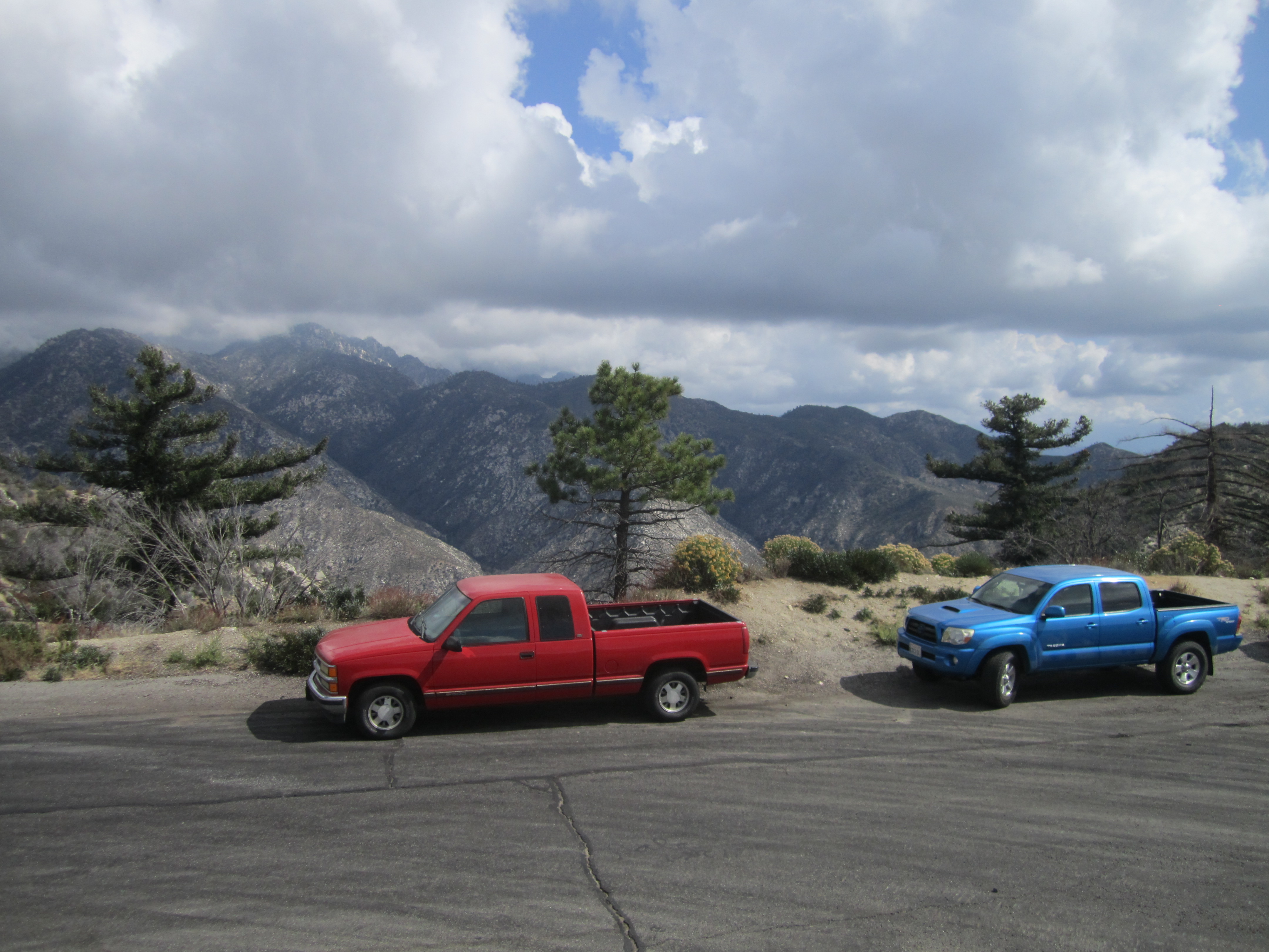
The trucks indicated hunters nearby, so I made sure to put on my most colorful clothing, which included a red bandana.
I dropped into the canyon around noon.
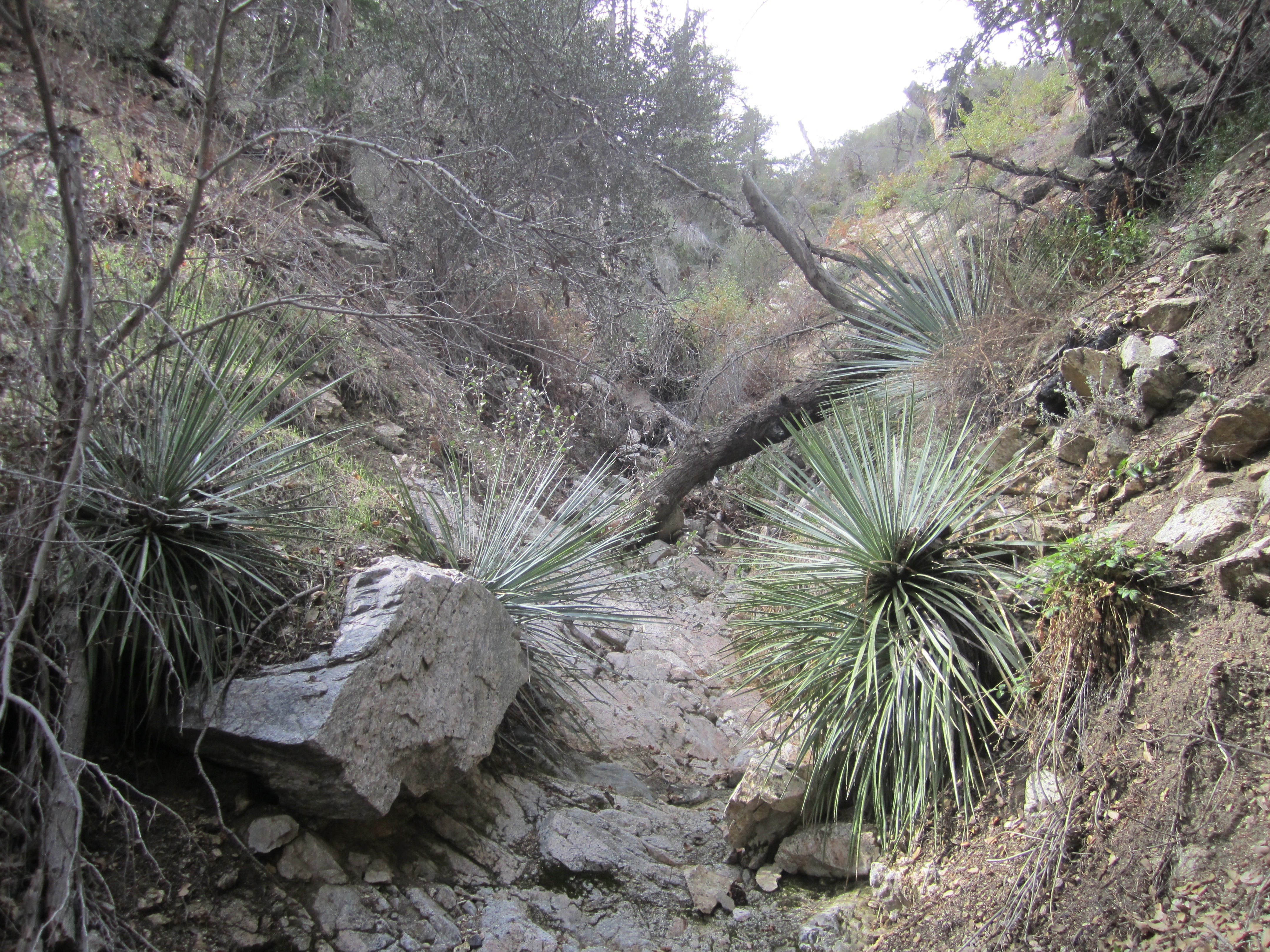
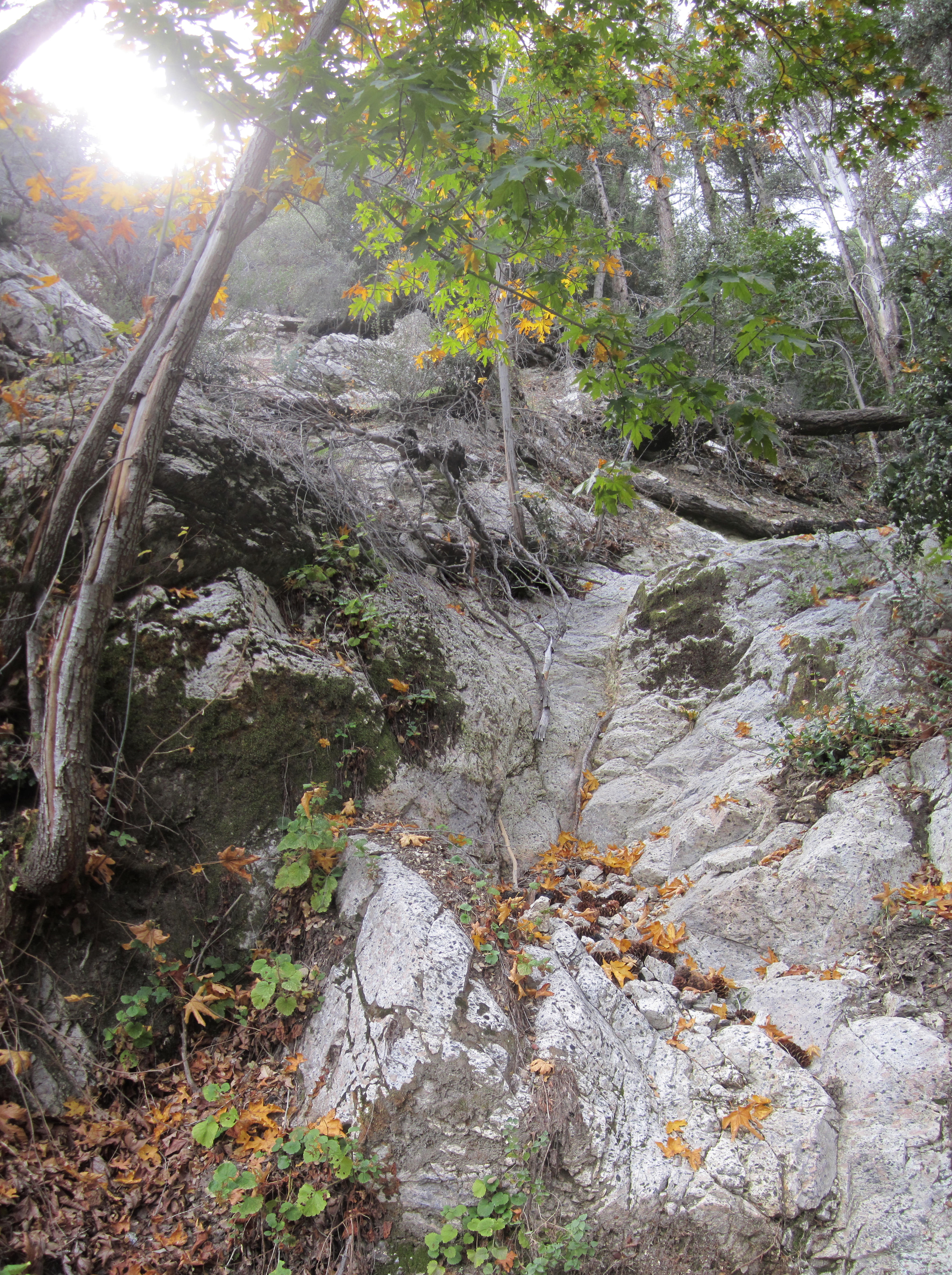
Initially there is a decent animal/use drop-in path. Then it's simply cross-country along the canyon bottom when it levels out.
I heard some rocks falling and bushes rustling nearby, and I shouted, "Human being, don't shoot me!" But there was no reply. Probably a squirrel gathering acorns.
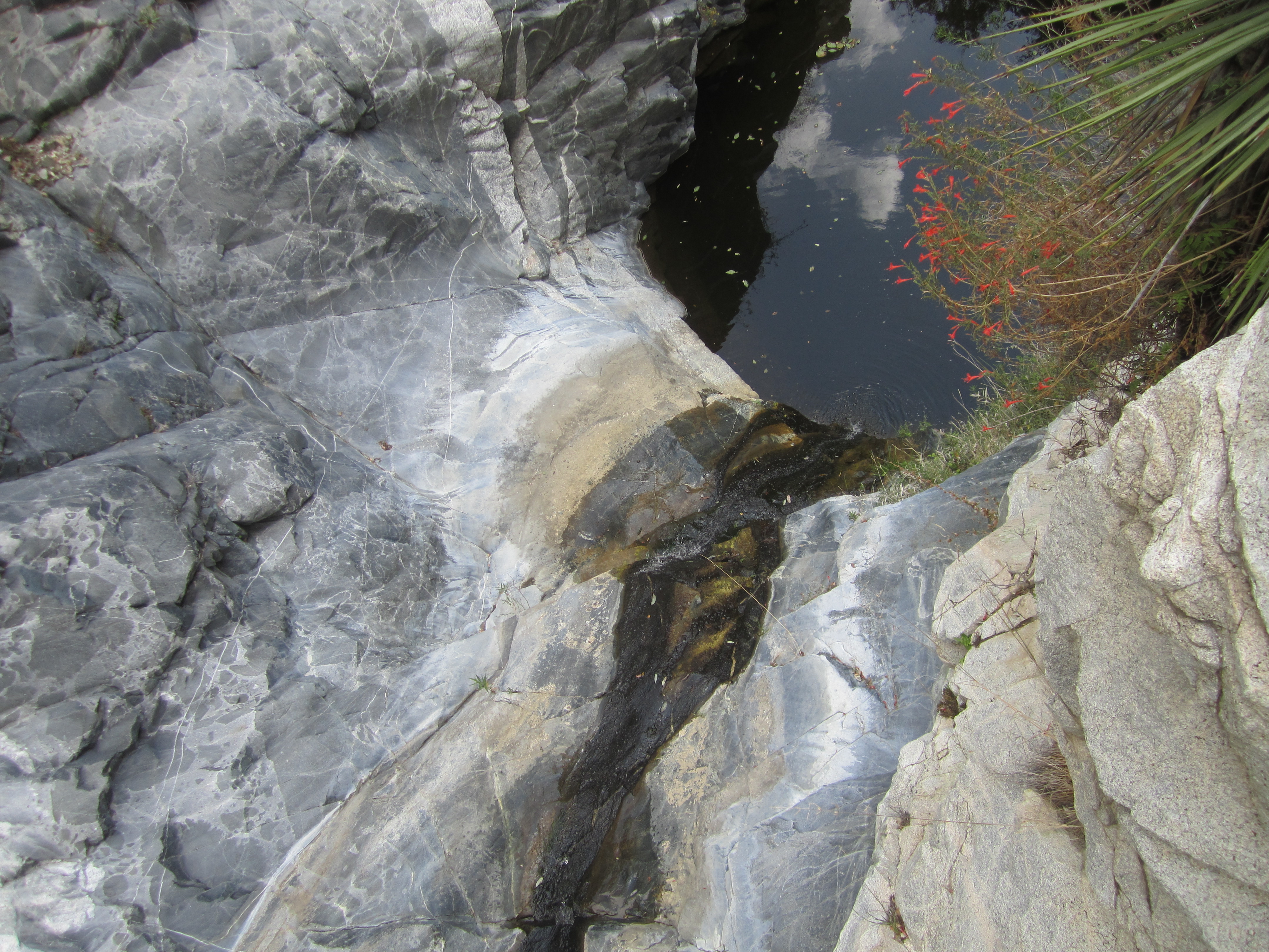
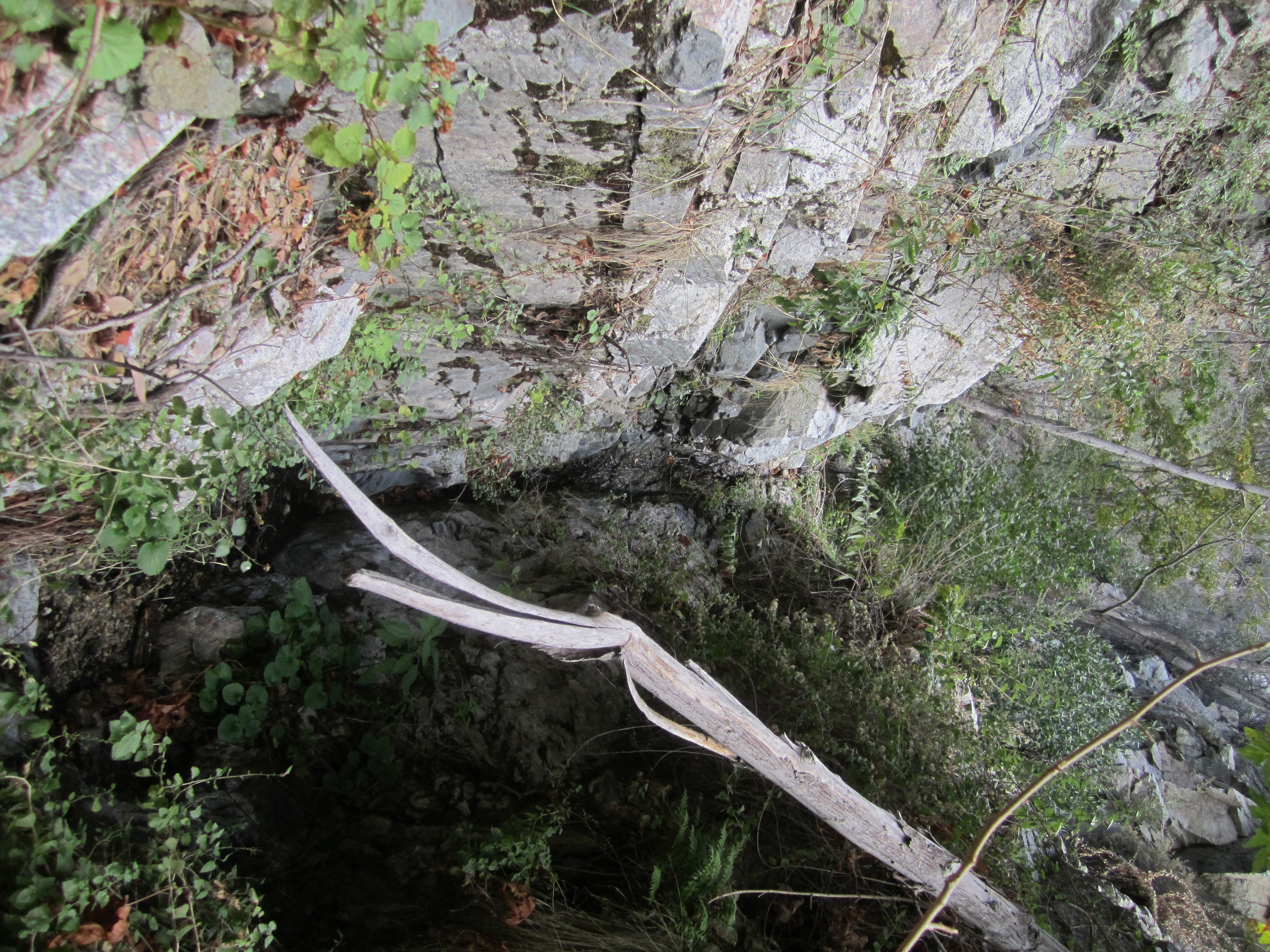
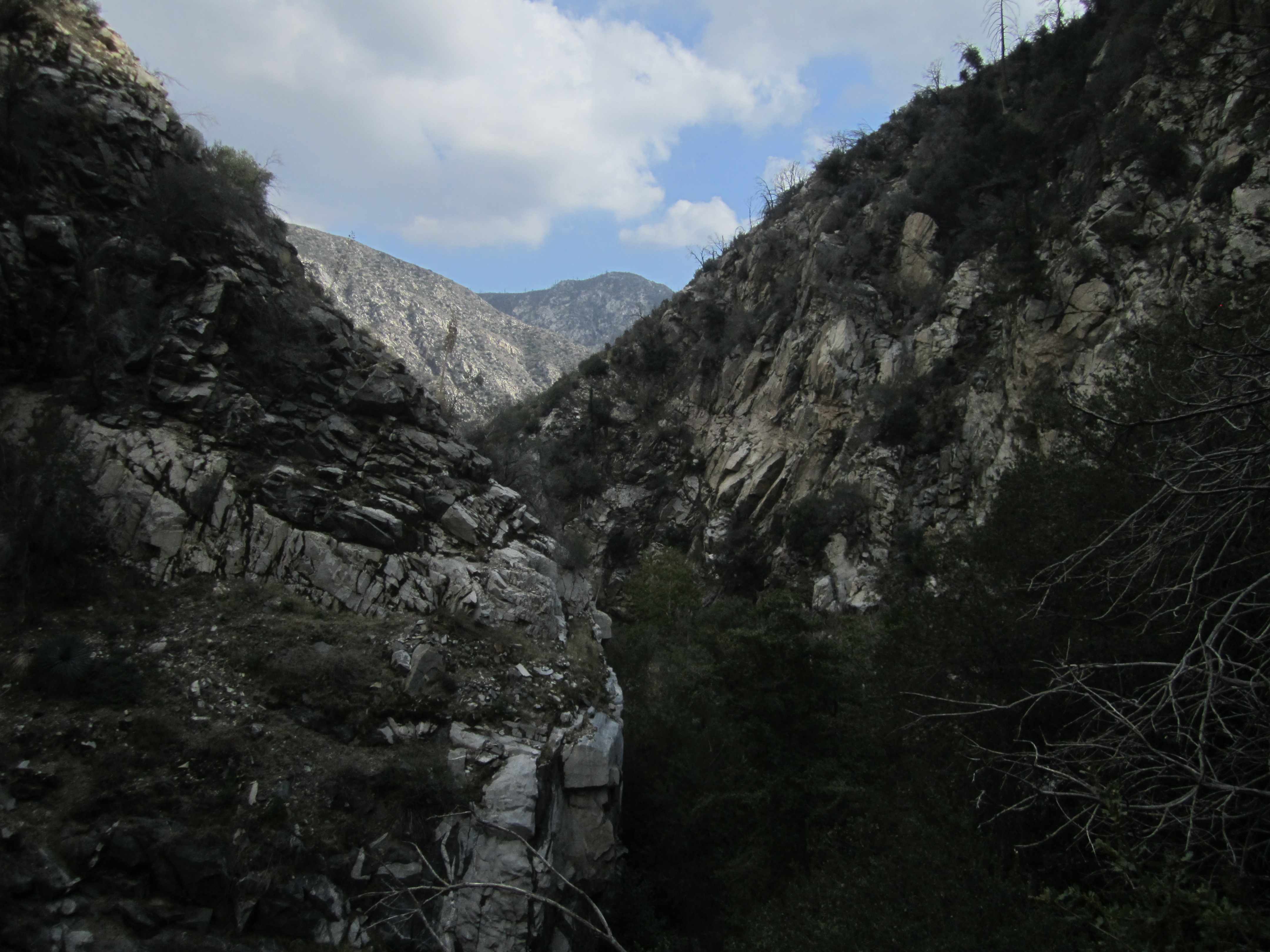
Skull Canyon is a wonderland of cascades and falls. In the upper sections they were mostly dry.
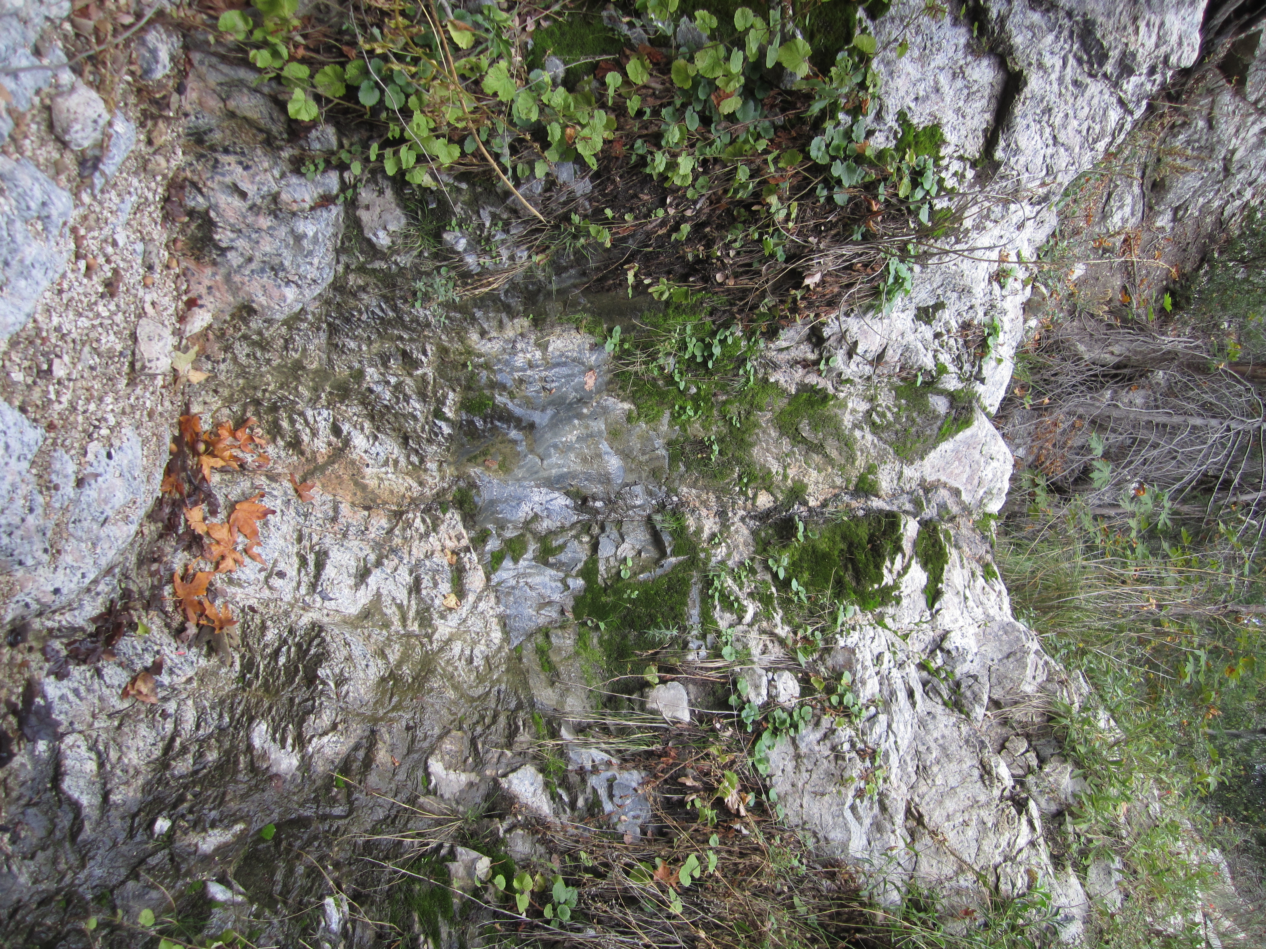
But further down some had trickling ribbons of water.
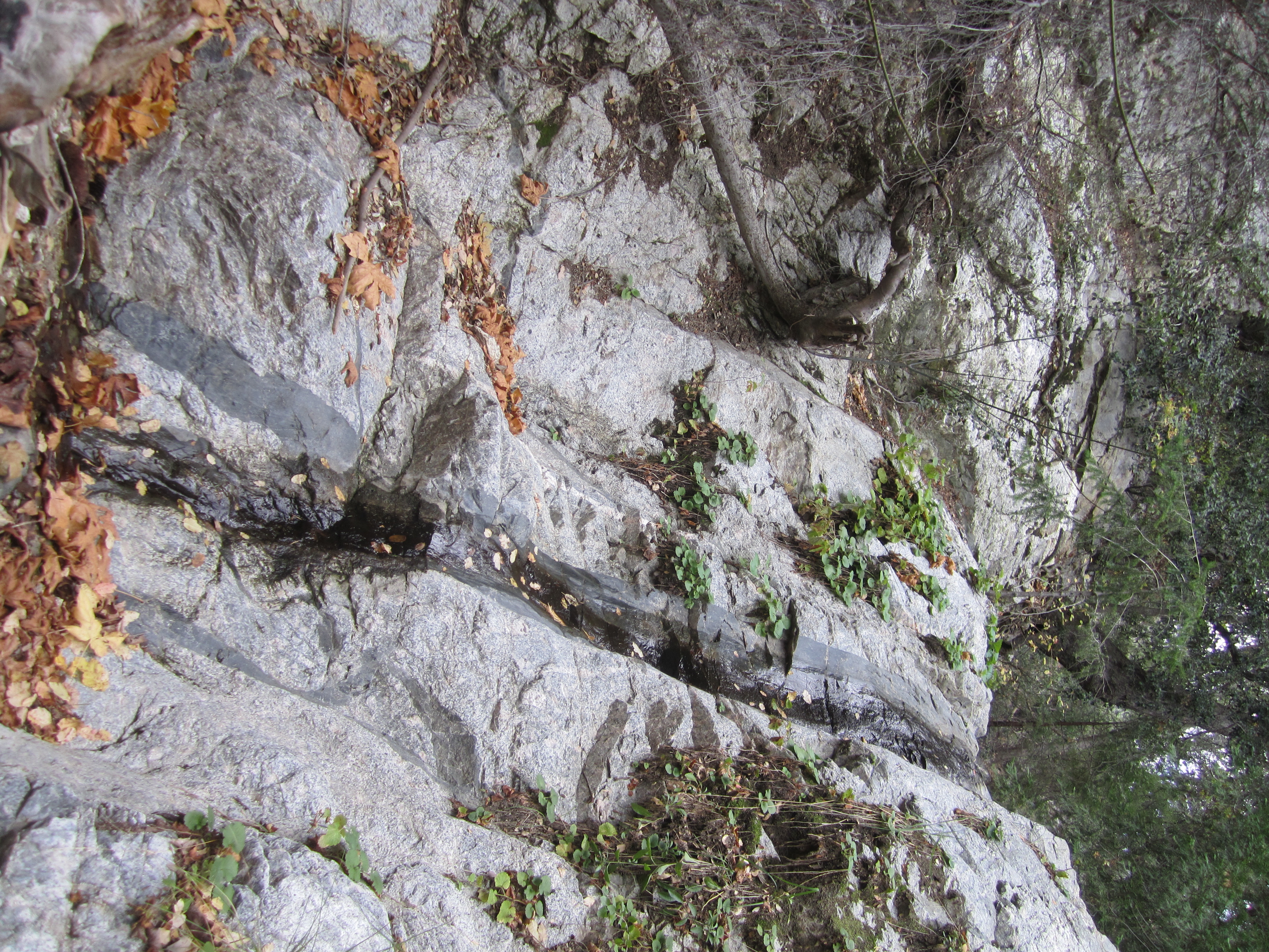
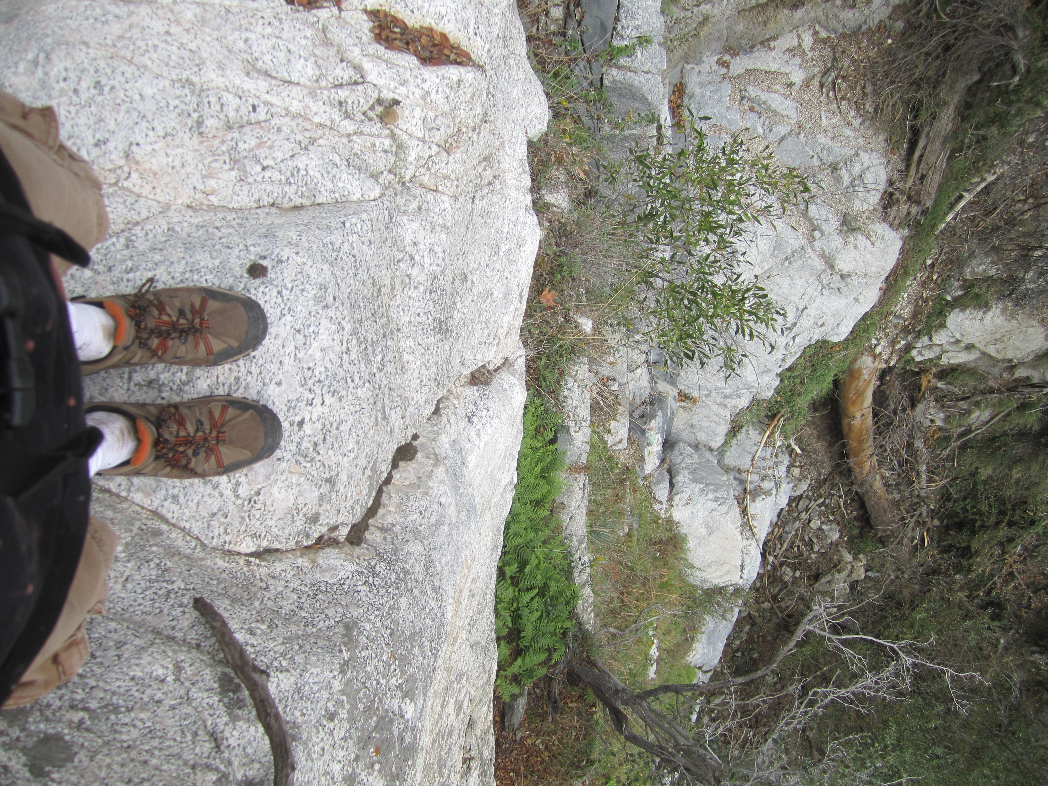
Some falls were minor and could be easily down-climbed.
While two or three of them were larger and more complex, requiring class 3 climbing skills.
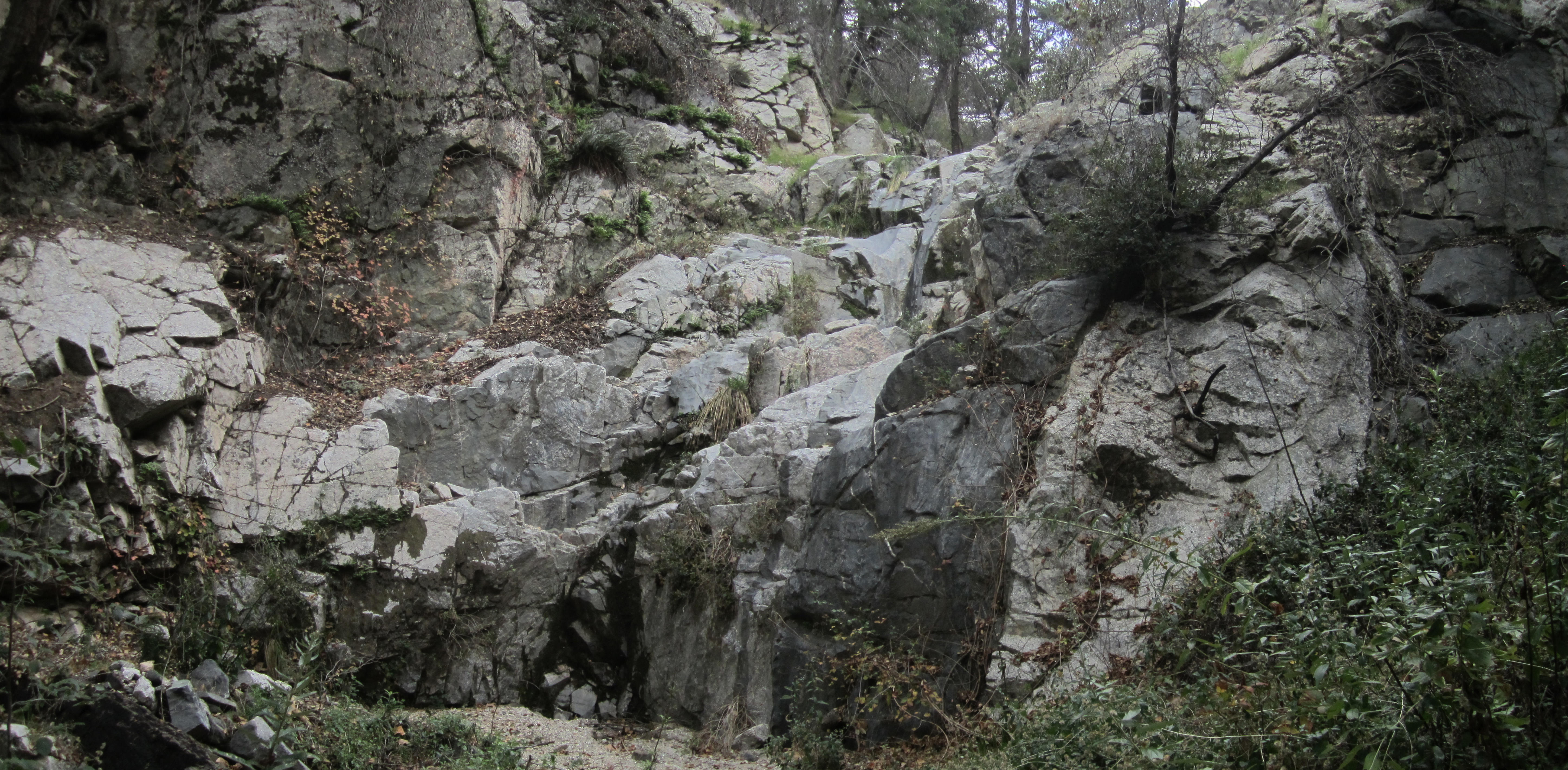
One particular waterfall is the highest of them all, located at approximate elevation 3640', a little above the point where the major tributary comes in from the north. This fall cannot be climbed safely and is bypassed along the south slope. Weathered canyoneering flags mark the route. Some had fallen to the ground, and I replaced them in the trees.

It's possible to view the fall from the top. It's about fifty feet high.
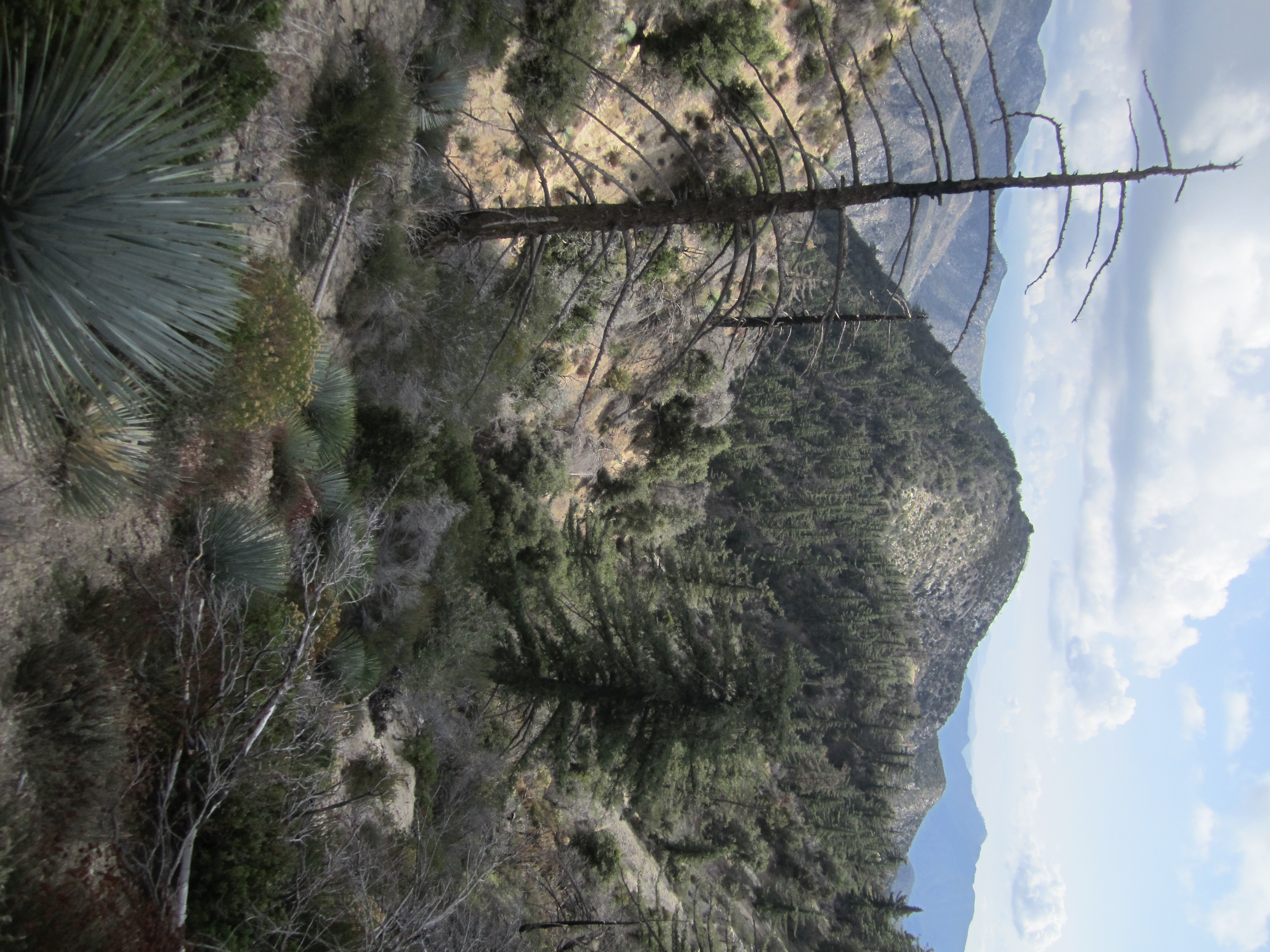
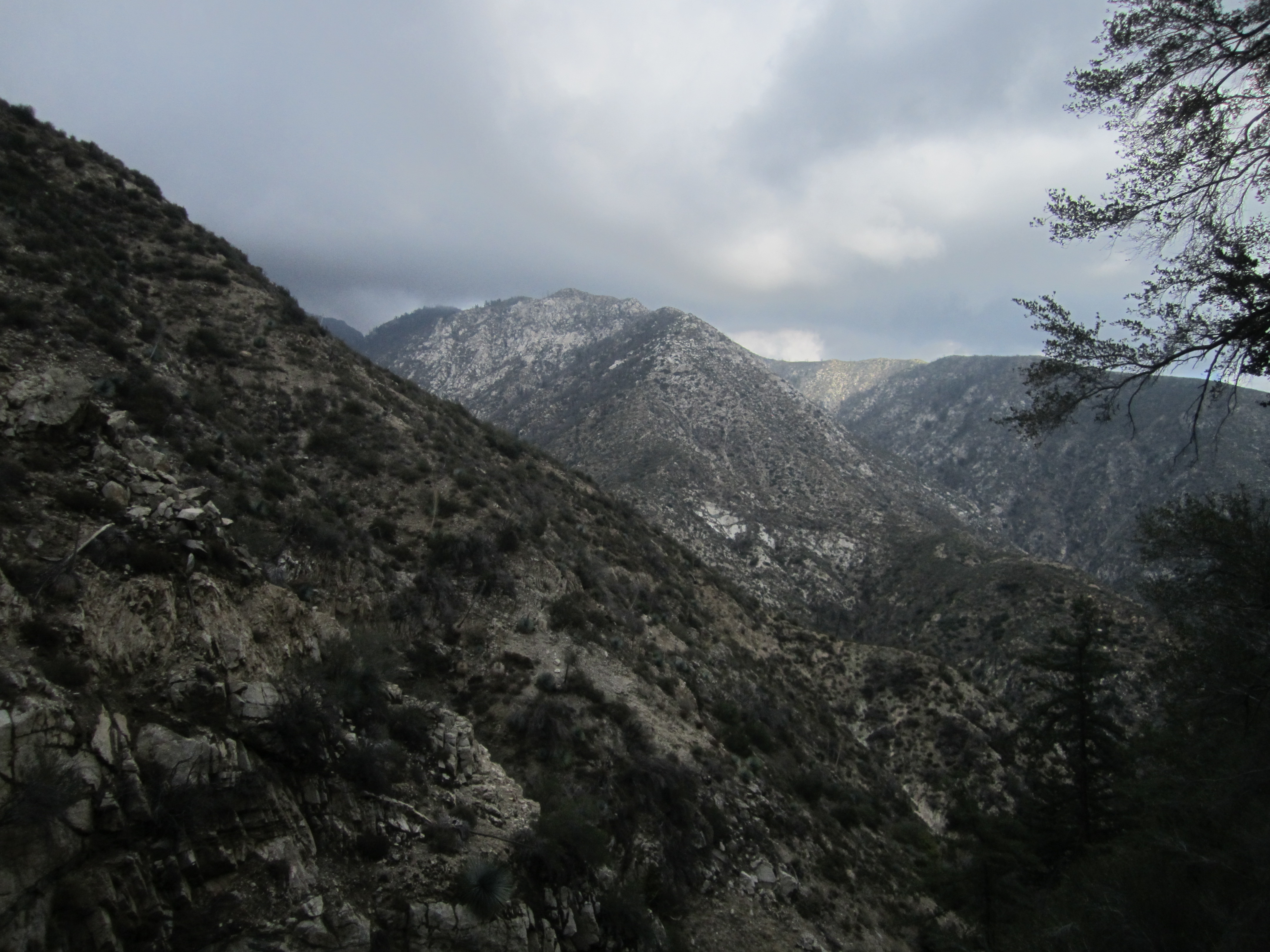
The bypass route offers one of the first distant views of the ridge network east of Devils Canyon.
After bypassing, I tried to work my way up to the base of the major waterfall, but another, lower one blocked me.
It was very narrow and slippery, and poison oak was an issue.
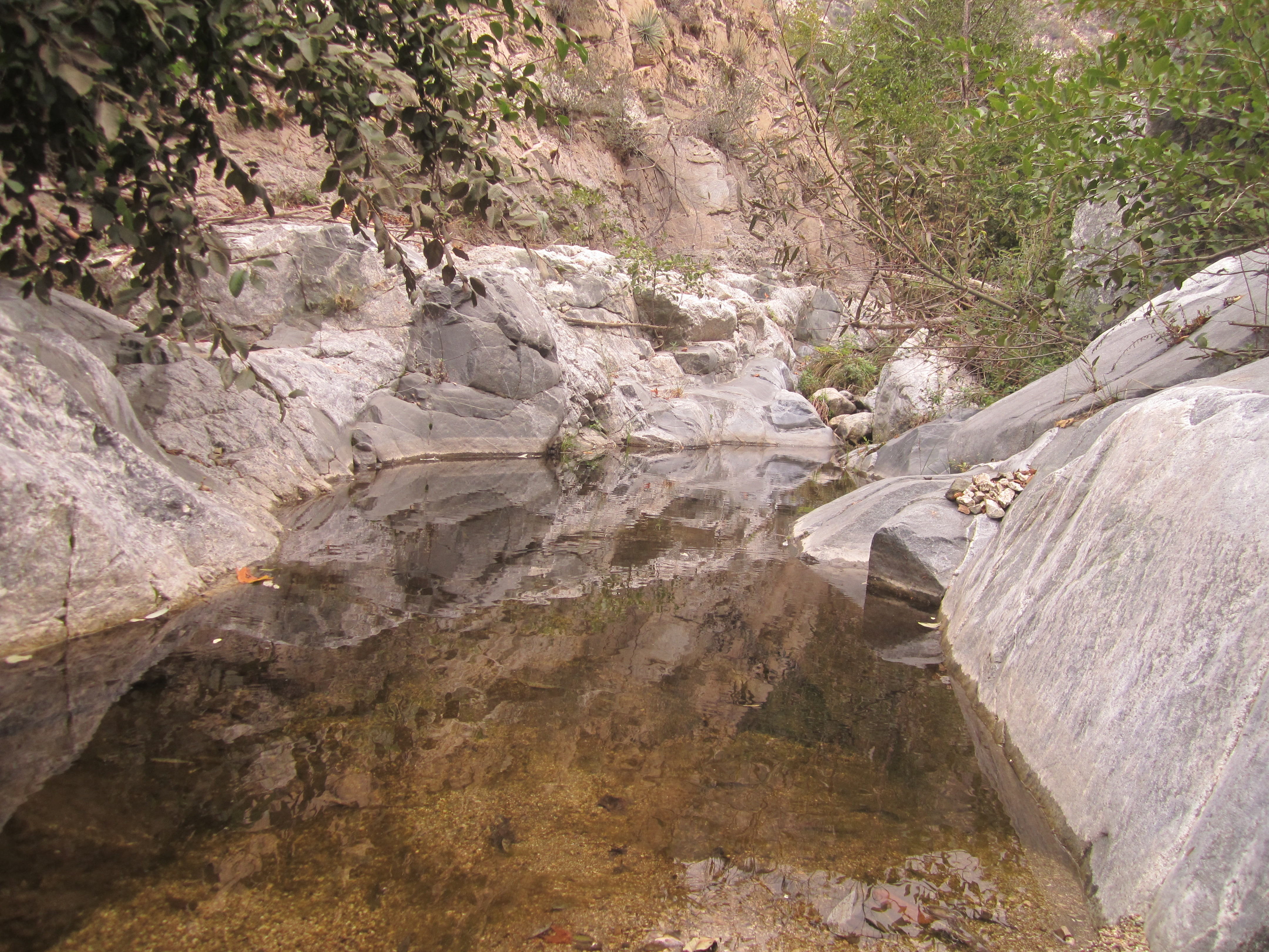
So I continued downward, negotiating more cascades and falls. Some created shallow pools alive with bugs.
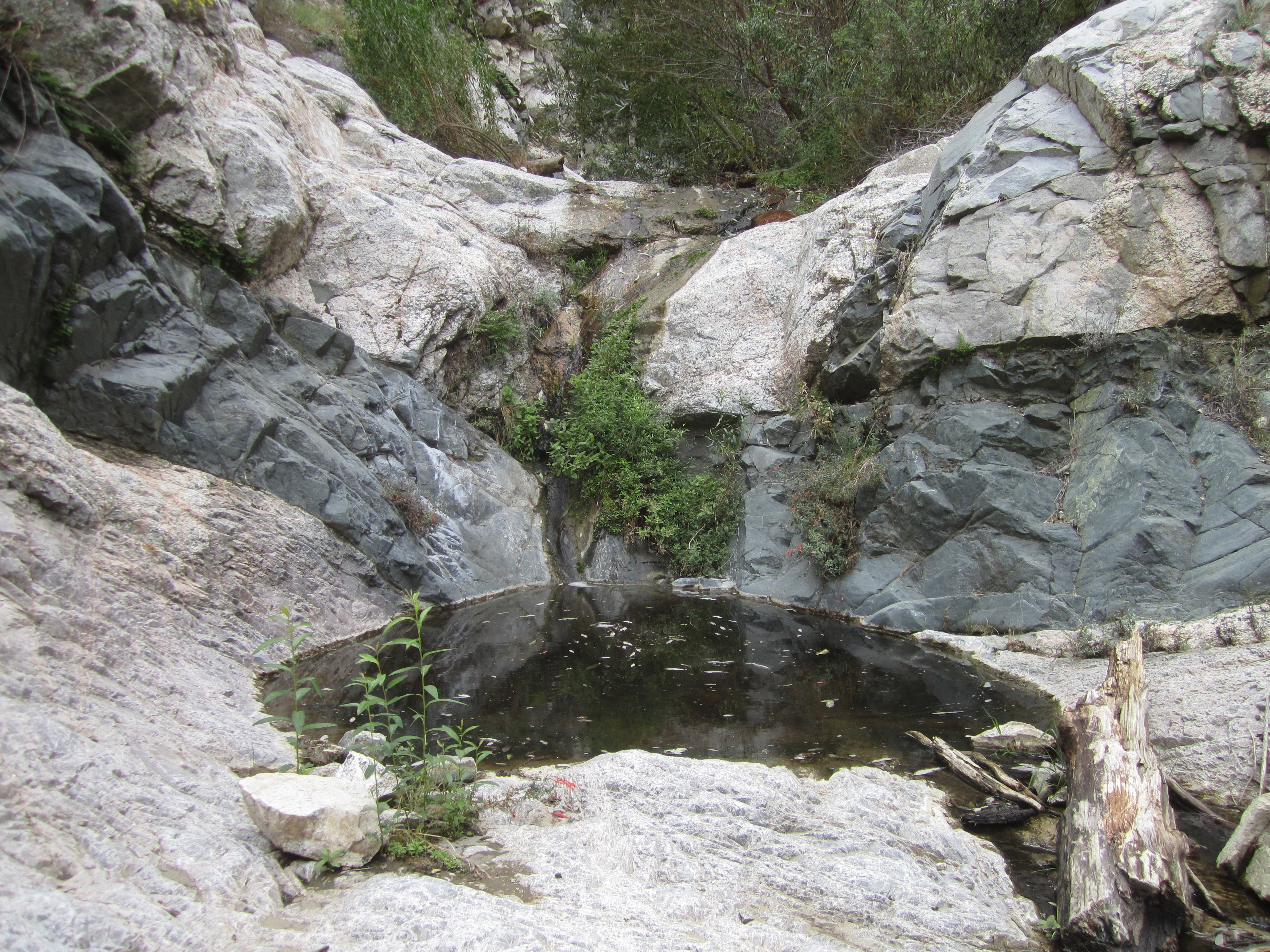
Then I reached the confluence with Devils Canyon, which flowed gently and offered more substantial bathing tubs.
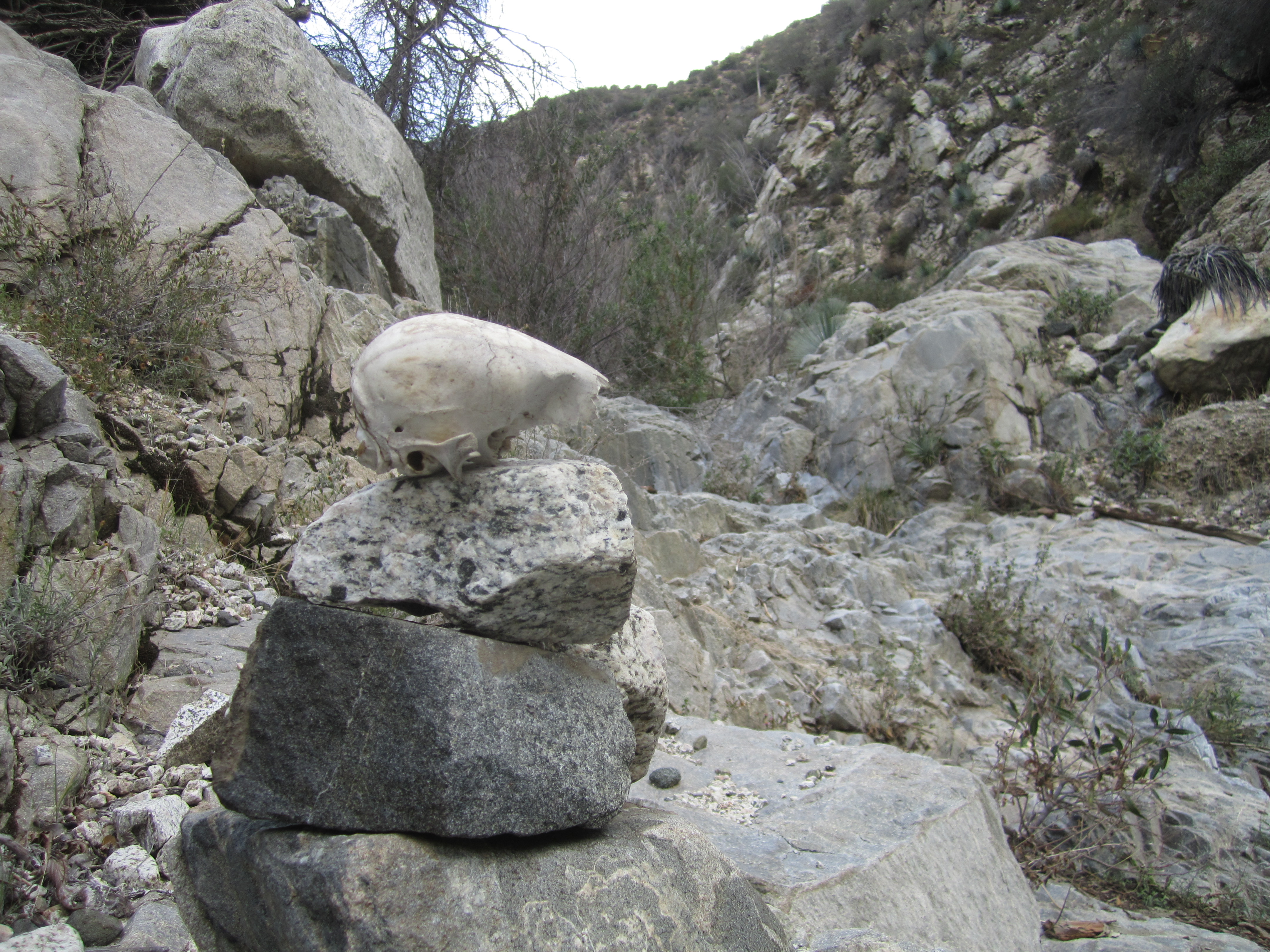
I had discovered a small fleshless noggin in Skull Canyon, and decided that the entrance cairn at the Devils Canyon junction would be an appropriate resting place for it.
The radio had been warning of thunderstorms and flash flooding, so I checked the sky.
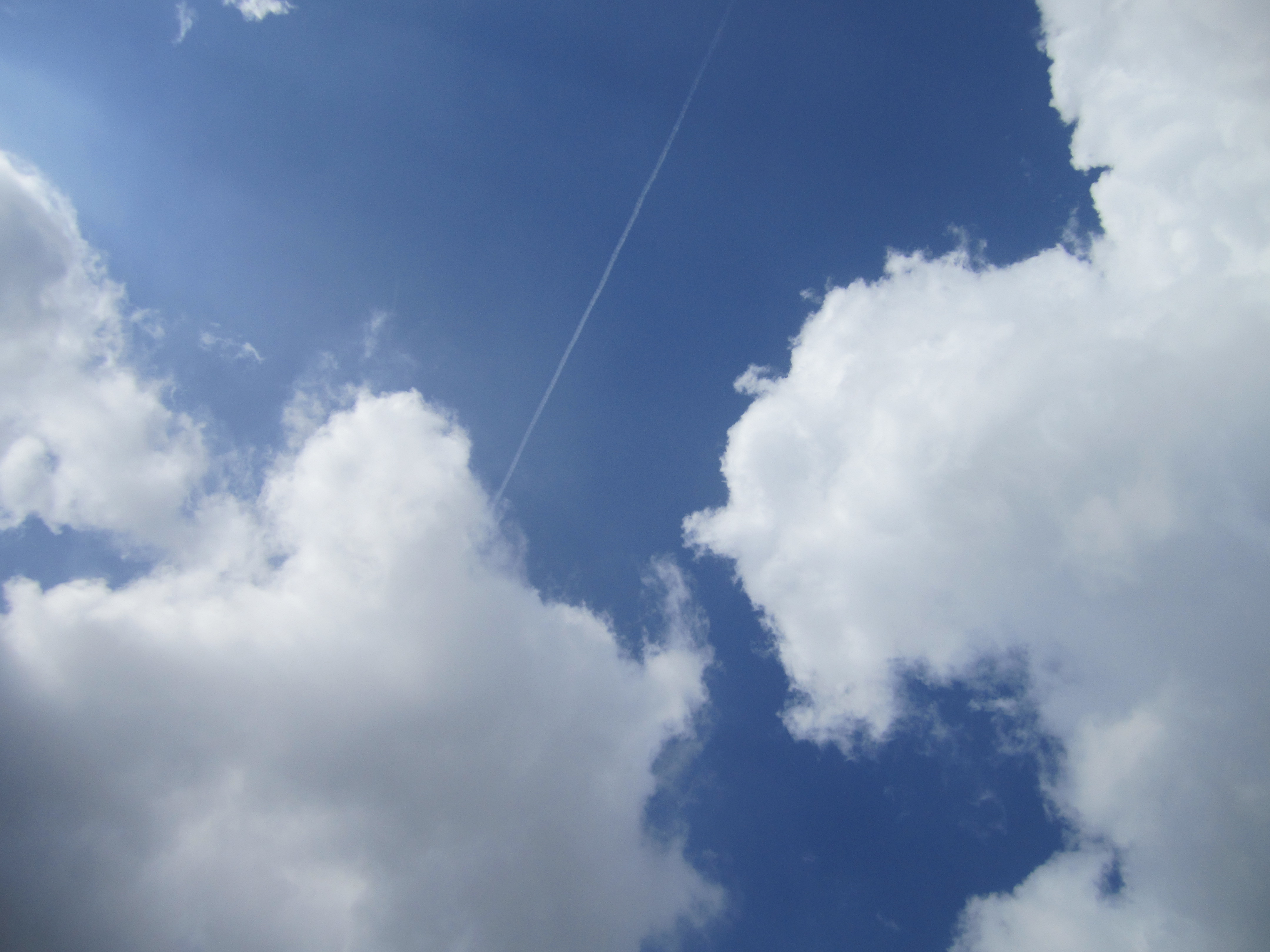
The clouds seemed to be in no hurry to ruin my lovely day.
I then ate some lunch and headed down Devils Canyon a short distance. I was trying to reach the lower falls.
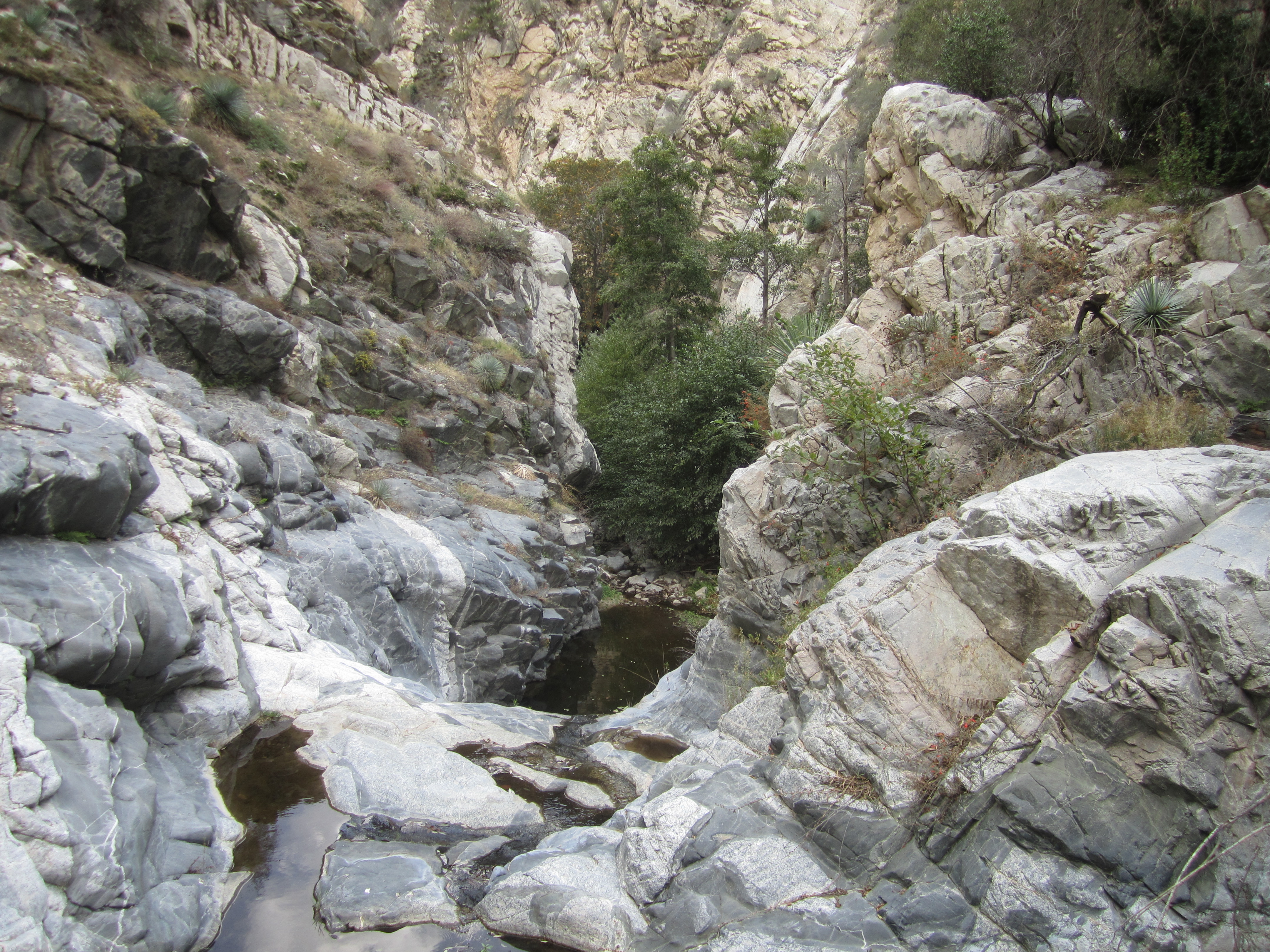
I believe I reached the one marked on the USGS topo map at elevation 3290'. Unfortunately, it looked rather dangerous to bypass, and I was unwilling to attempt a potential ledge crossing along the eastern wall. So I instead climbed to an overlook point to see if I could get a better view of the actual waterfall, but I only saw the large pool.
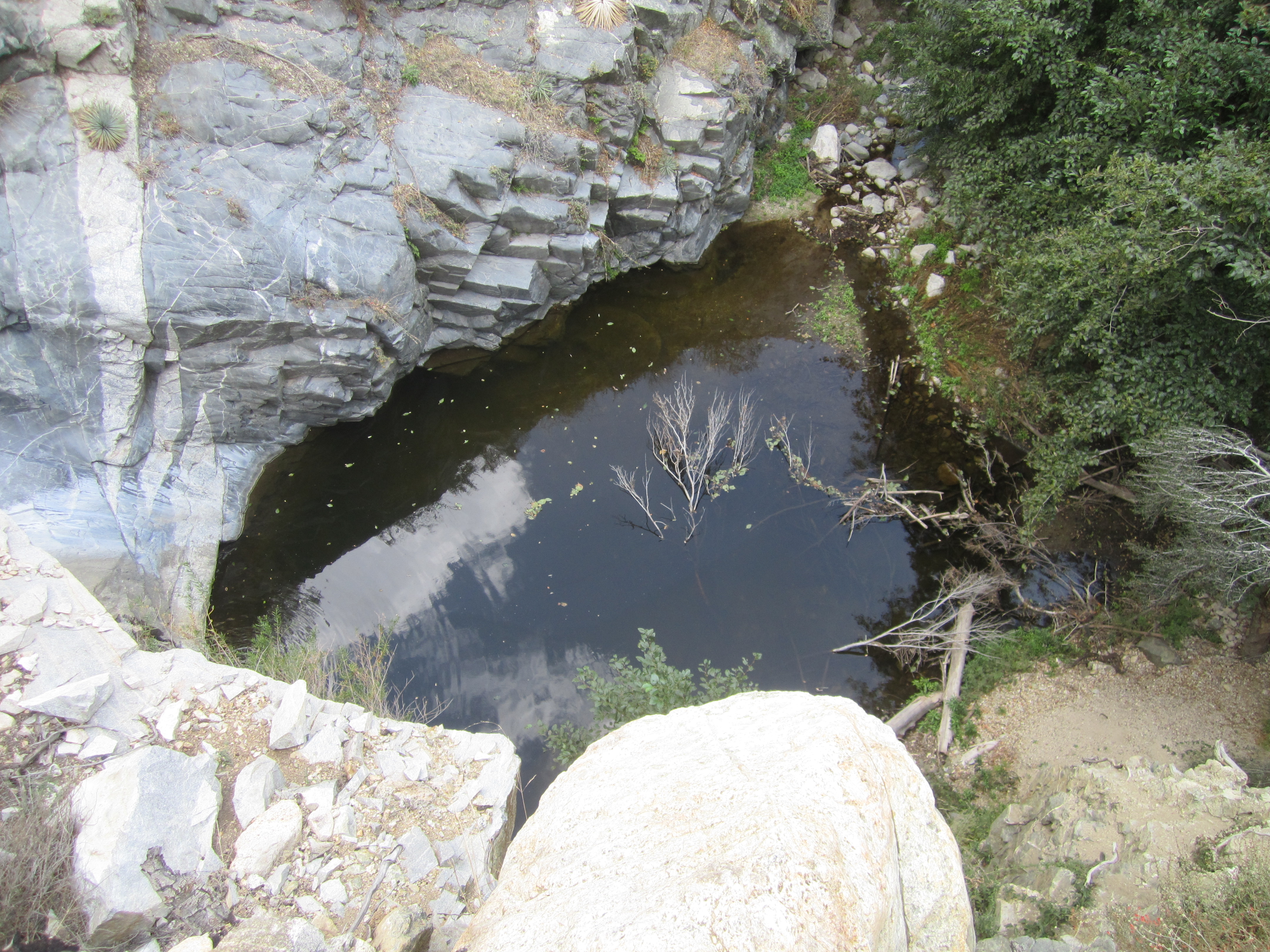
Thus, I was unable to reach the additional waterfall at elevation 3260', which is typically accessed from Cogswell Dam.
Upon realizing my monumental failure in not even seeing one of these lower Devils Canyon waterfalls, I stared down-canyon, unblinking, for quite some time.
A few tears slipped out of the corners of my eyes. Then I hurled myself off the overlook and crashed upon the rocks below, becoming a human pancake--food for the little critters of Devils Canyon.