Flint Peak, Academy BM, and the Eagle Rock
Posted: Thu Oct 08, 2015 4:45 pm
Yesterday I decided to hit three spots in the Linda Vista/San Rafael Hills area above Pasadena.
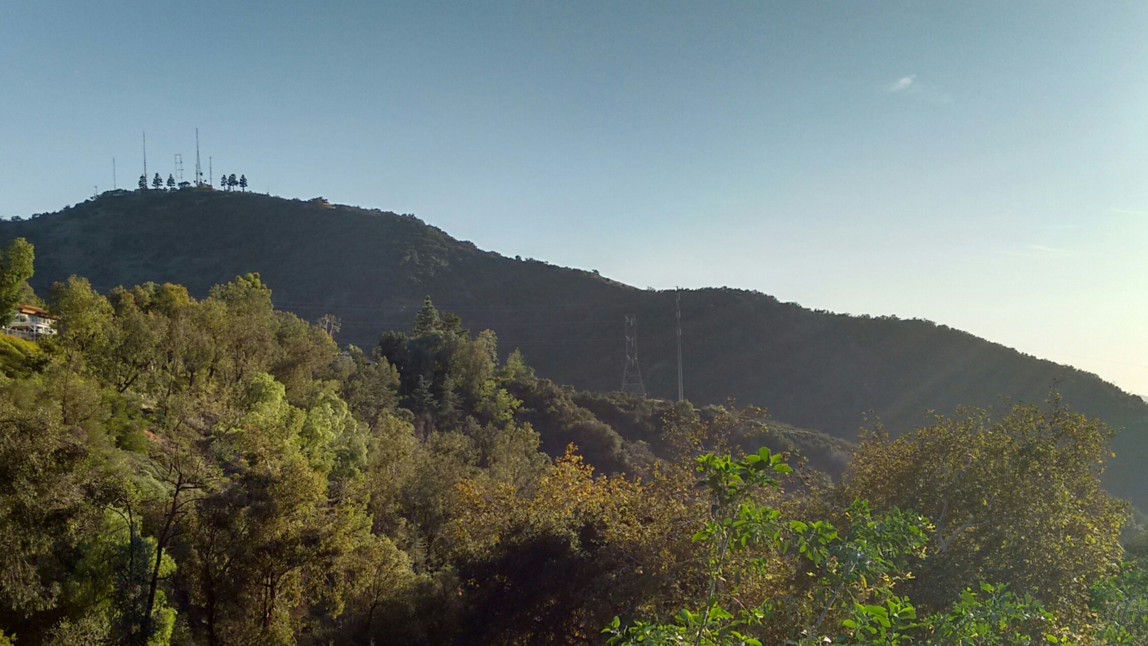
Dima mentioned once that he had done Flint Peak via the north ridge, which he calls Antler Ridge.
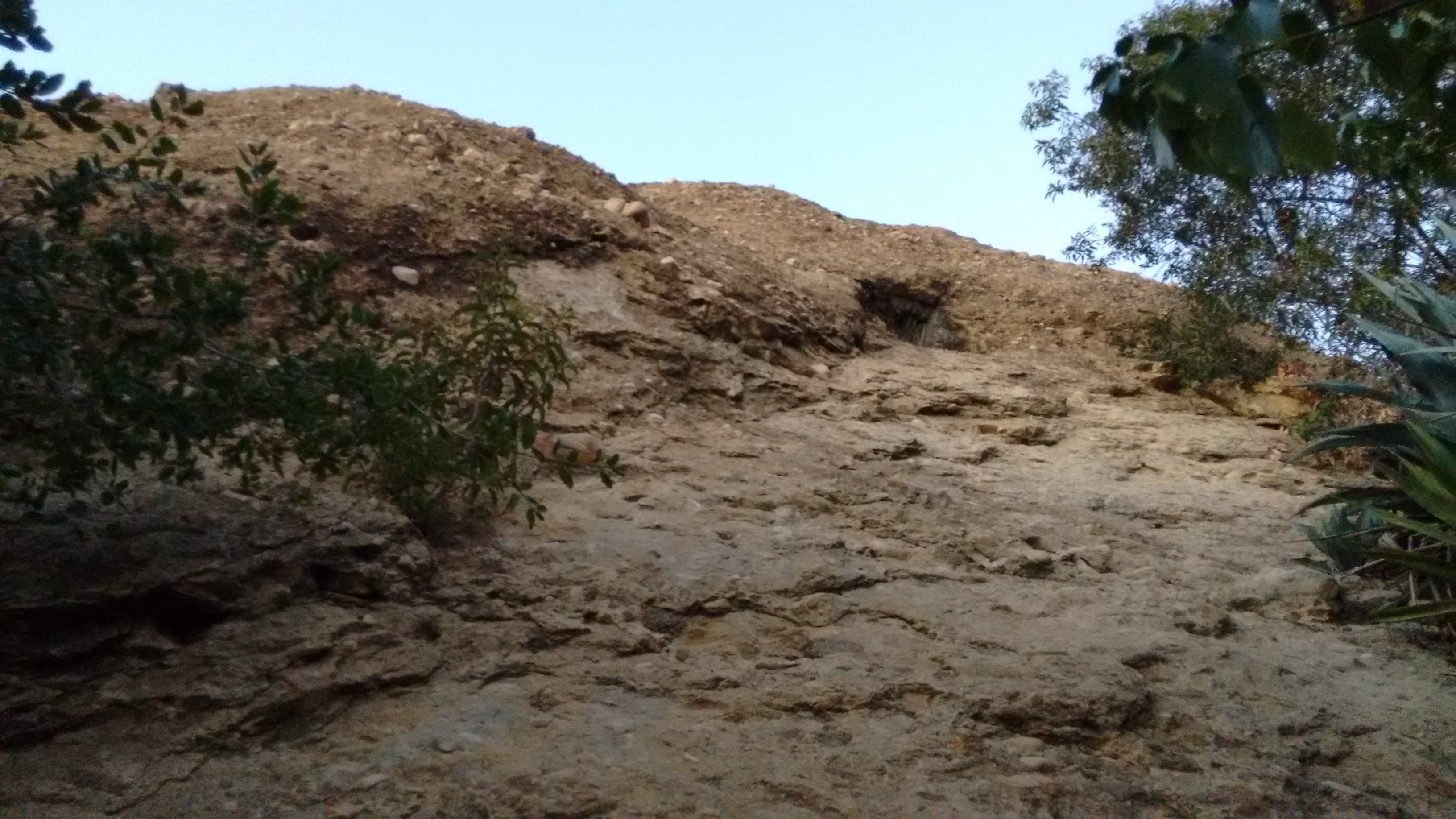
I won't give exact directions to the "trailhead", but if you find this spot,

then you are doing okay.
The "trail" consists of a mixture of animal and human paths, first wrapping around the shaded left side of the ridge, then steeply switchbacking through the brush to the ridgetop. The vegetation could be pretty thick, but thankfully it offered brief respites here and there and didn't continue forever. I followed signs of an old trail and prior bushwhackers to make the going easier.
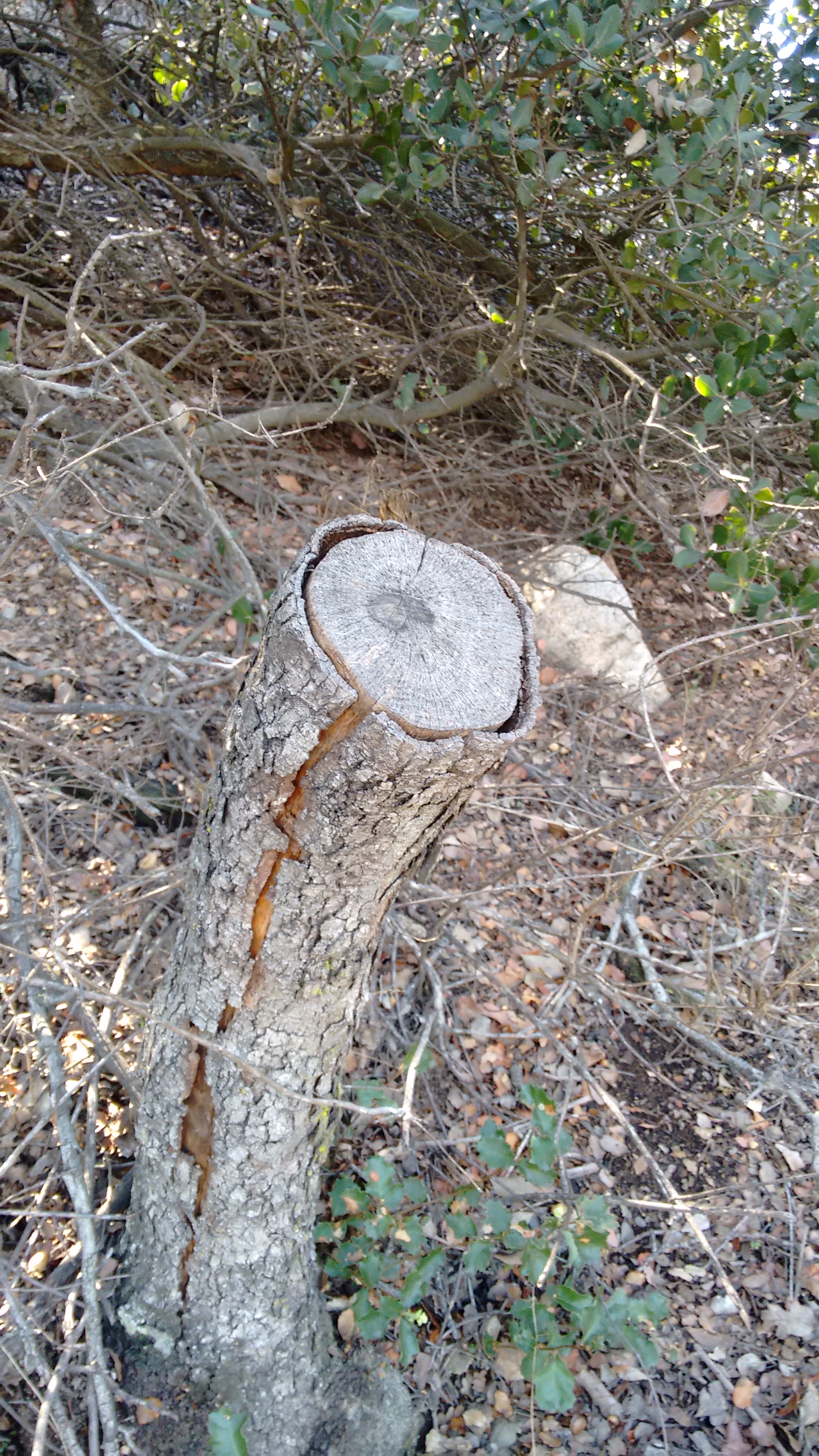
After thrashing about, the route became an open firebreak.

I had a clear northeastern view toward the San Gabriel Peak neighborhood.
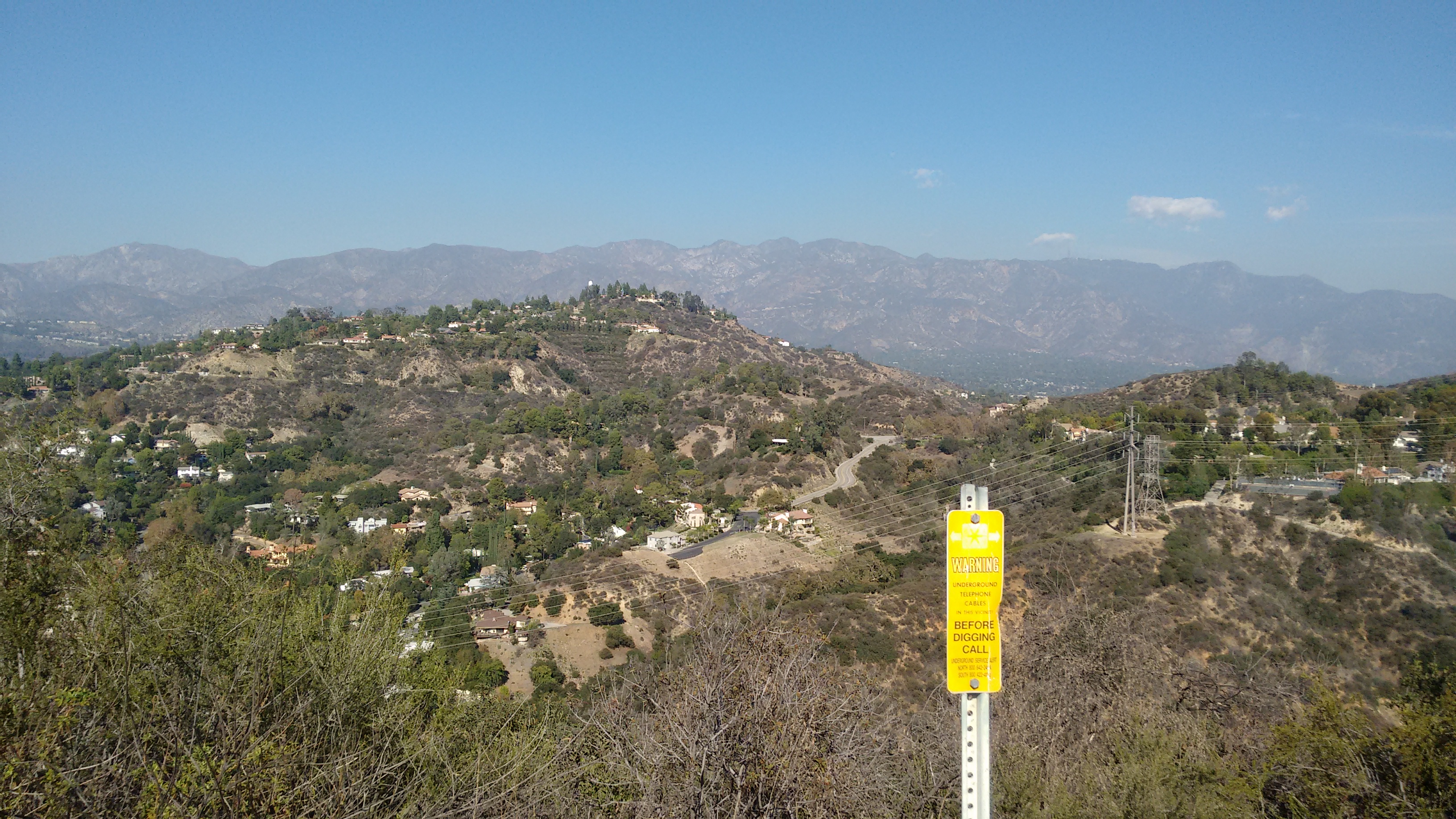
The firebreak was steep but easygoing, and soon I reached Flint Peak with an entourage of large birds circling above me.
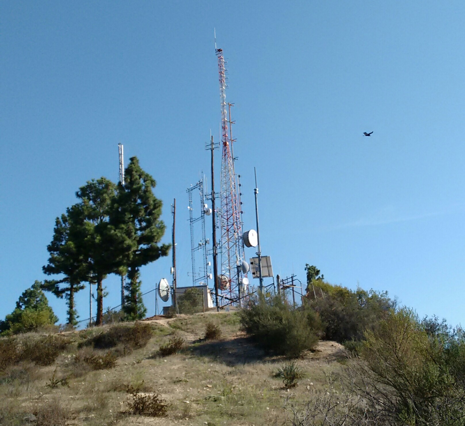
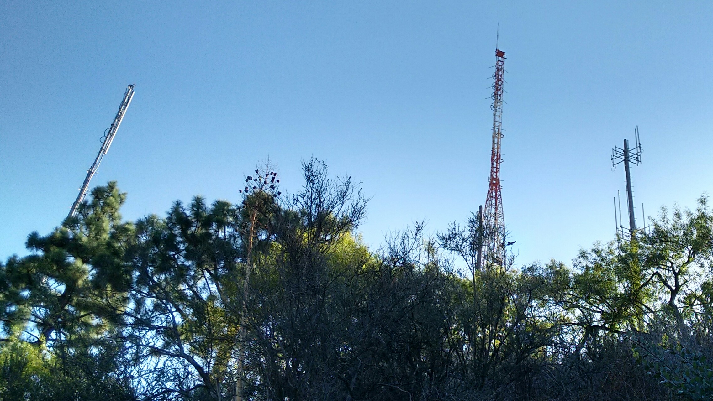
After Flint, I drove northeast to the formerly named Hodge's Peak, which is now fully developed with big, beautiful houses on the summit and the Flintridge Academy of the Sacred Heart on the eastern shoulder.
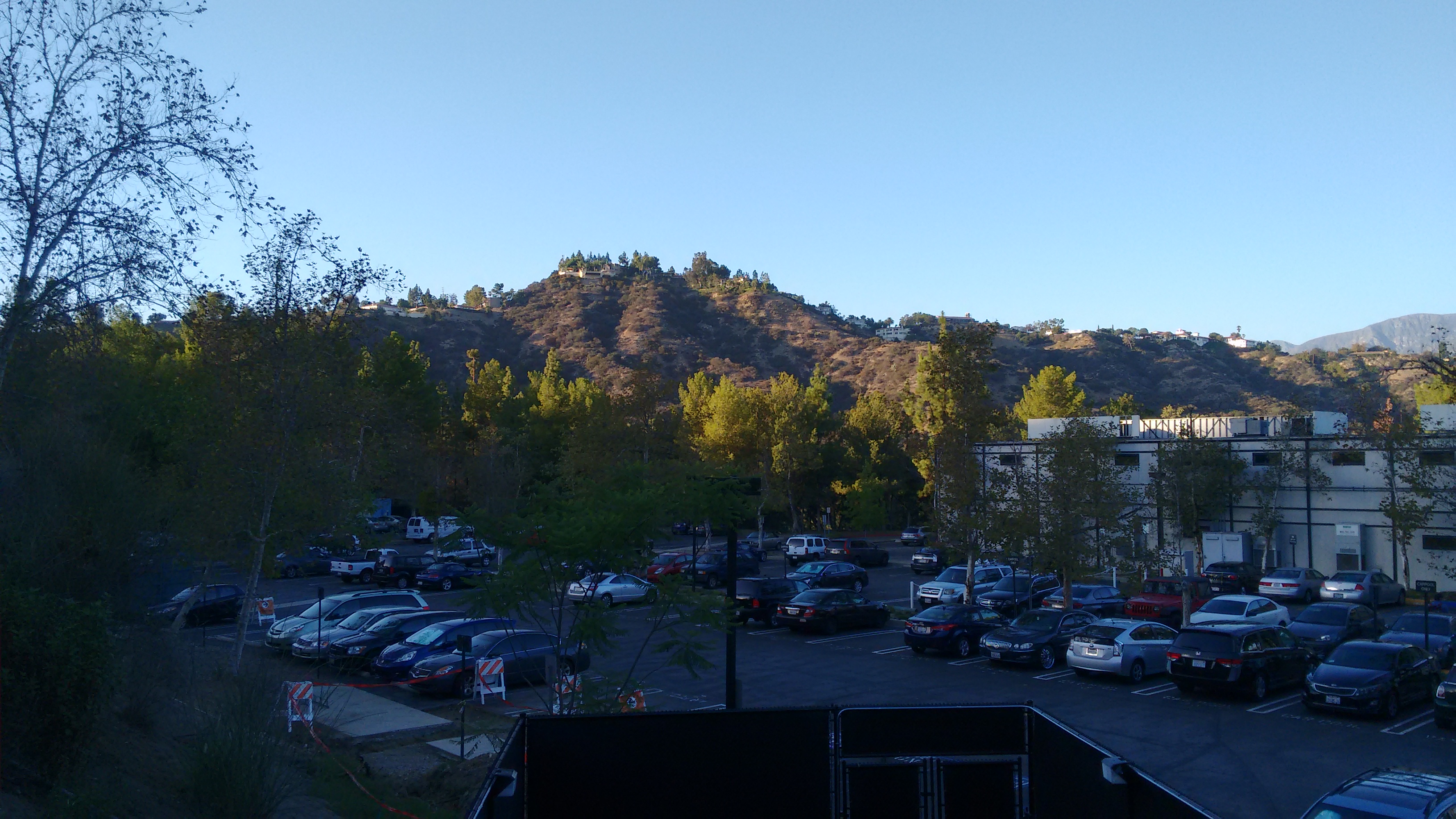
(Viewing Hodge's Peak from the Art Center College campus)
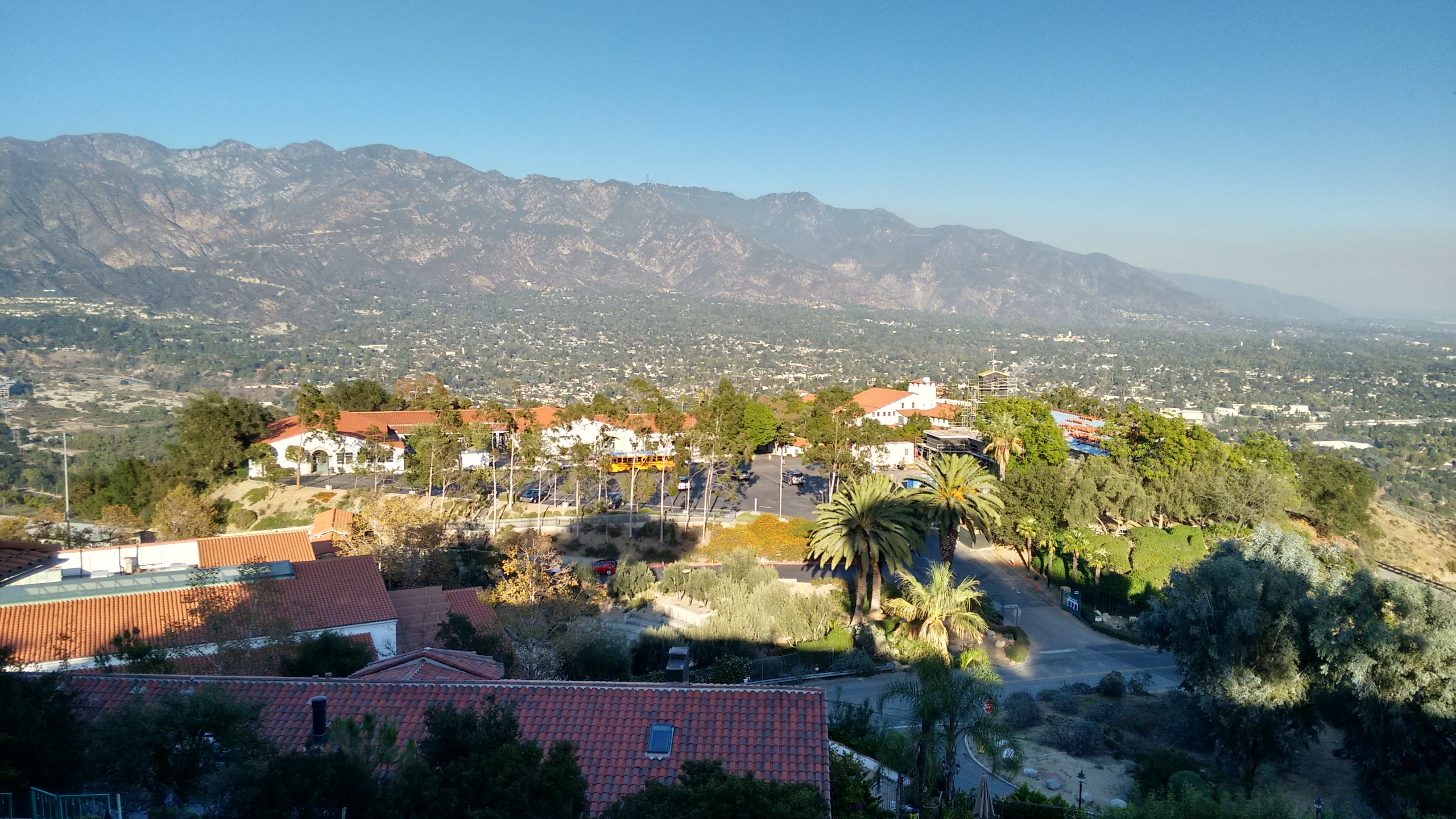
(View of Flintridge Academy from Hodge's Peak)
I drove to Hodge's on account of historical curiosity. But also to find the summit benchmark stamped "ACADEMY."

This reference mark points to the triangulation station mark nearby. The station mark was more weathered and harder to read.
To reach these marks requires walking a short distance along a "private road," but I didn't encounter any hostile property owners during my brief visit.
Next up was a trip to the Eagle Rock.
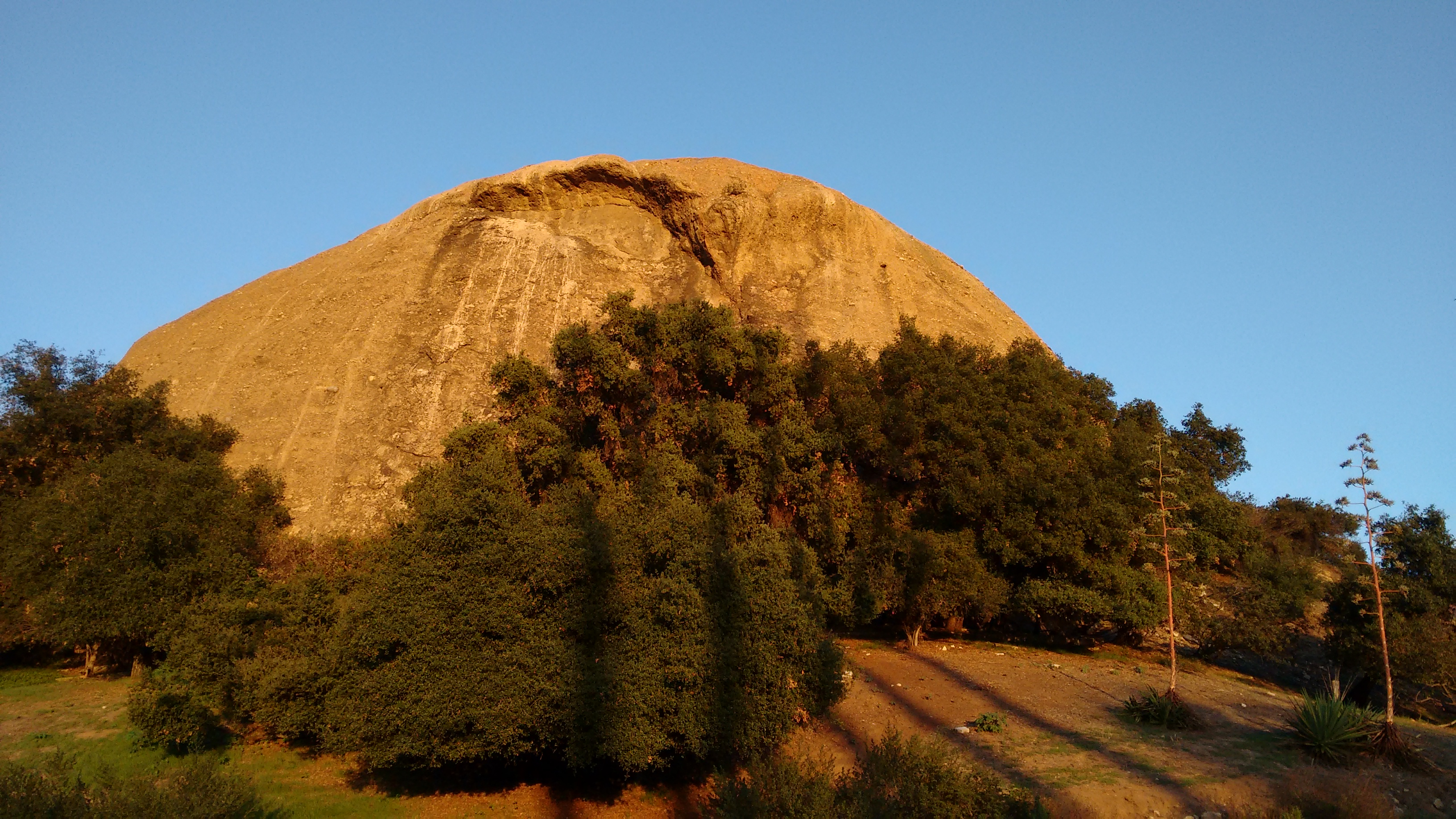
The Eagle Rock Canyon Trail climbs the slopes north of the Rock and provides a decent vista point of the area, plus a side-view of the Rock.

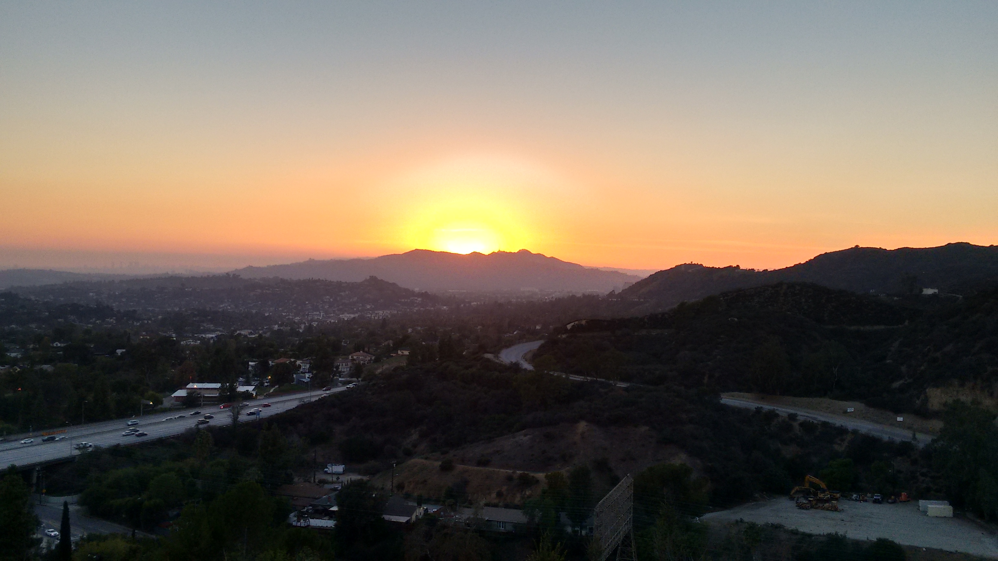
I watched the sunset from the top of this trail and called it a day ...
... or did I?
Dima mentioned once that he had done Flint Peak via the north ridge, which he calls Antler Ridge.

I won't give exact directions to the "trailhead", but if you find this spot,

then you are doing okay.
The "trail" consists of a mixture of animal and human paths, first wrapping around the shaded left side of the ridge, then steeply switchbacking through the brush to the ridgetop. The vegetation could be pretty thick, but thankfully it offered brief respites here and there and didn't continue forever. I followed signs of an old trail and prior bushwhackers to make the going easier.

After thrashing about, the route became an open firebreak.

I had a clear northeastern view toward the San Gabriel Peak neighborhood.

The firebreak was steep but easygoing, and soon I reached Flint Peak with an entourage of large birds circling above me.


After Flint, I drove northeast to the formerly named Hodge's Peak, which is now fully developed with big, beautiful houses on the summit and the Flintridge Academy of the Sacred Heart on the eastern shoulder.

(Viewing Hodge's Peak from the Art Center College campus)

(View of Flintridge Academy from Hodge's Peak)
I drove to Hodge's on account of historical curiosity. But also to find the summit benchmark stamped "ACADEMY."

This reference mark points to the triangulation station mark nearby. The station mark was more weathered and harder to read.
To reach these marks requires walking a short distance along a "private road," but I didn't encounter any hostile property owners during my brief visit.
Next up was a trip to the Eagle Rock.

The Eagle Rock Canyon Trail climbs the slopes north of the Rock and provides a decent vista point of the area, plus a side-view of the Rock.

I watched the sunset from the top of this trail and called it a day ...

... or did I?

